Explore NSW
Gallery 1
Wauchope on the NSW mid-north coast is famous for Timber Town, where you can take a step back in time and relive the past when timber was considered ‘red gold’.
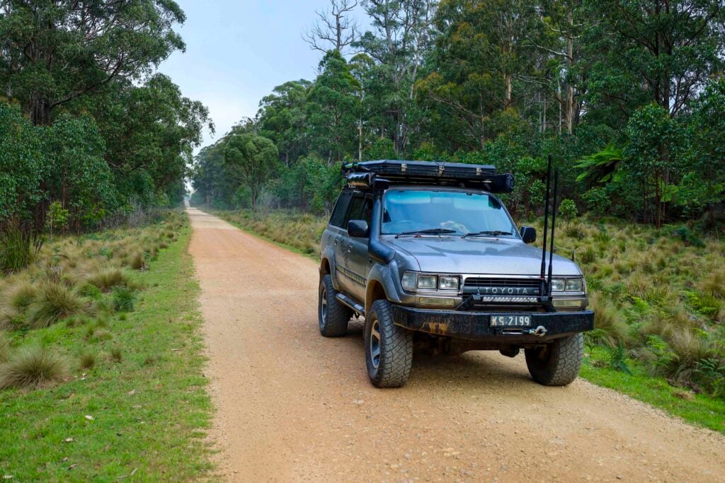
I never really stopped to consider where this happened, up in the hills tucked behind Wauchope, but with a little inside information we found some great tracks, relics and natural attractions. This is a great two-night camp-out that isn’t suitable for trailers, as a lot of the tracks in this region are steep and narrow.
After the mandatory fuel and supply shop at Wauchope, head west along the Oxley Highway that links the coast to the tablelands over some incredible country, the road winding its way up over the Great Dividing Range which pushes up 1100m above sea level at the highest point. Leaving Wauchope, the countryside is typical coastal scrub country where hobby farms scatter the landscape for many kilometres, giving way to open paddocks and finally views of the Great Divide.
1
Some 30km out of Wauchope is Long Flat, which was settled in 1856 by a Northern Irish family who grew grapes, produced wine and then sold it to the teamsters that passed through this area on the convict-built road, hauling logs down to the coast. Then in the late 1870s a hotel was built, named ‘The Travellers Rest Hotel’. It still stands on the original plot of soil today, and some of the original timbers can still be seen in and around the hotel.
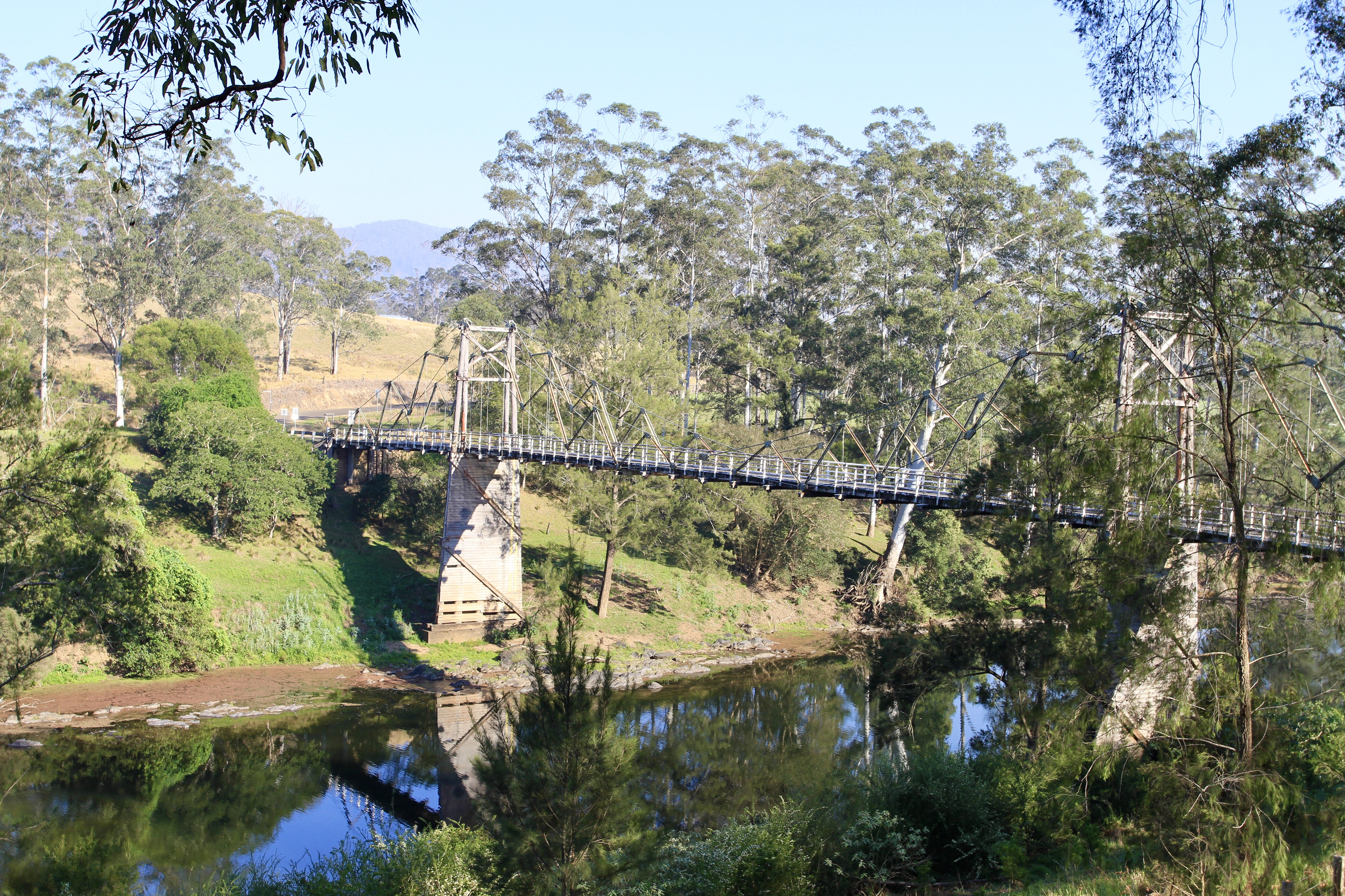
As you leave Long Flat, keep an eye out just 5km up the road for a turn on the right to Kindee Road, where you can see the longest suspension bridge still in use in Australia. Measuring a whopping 200ft long, this one-lane bridge was completed in 1937. It’s great for a quick look and to appreciate how real bridges were built.
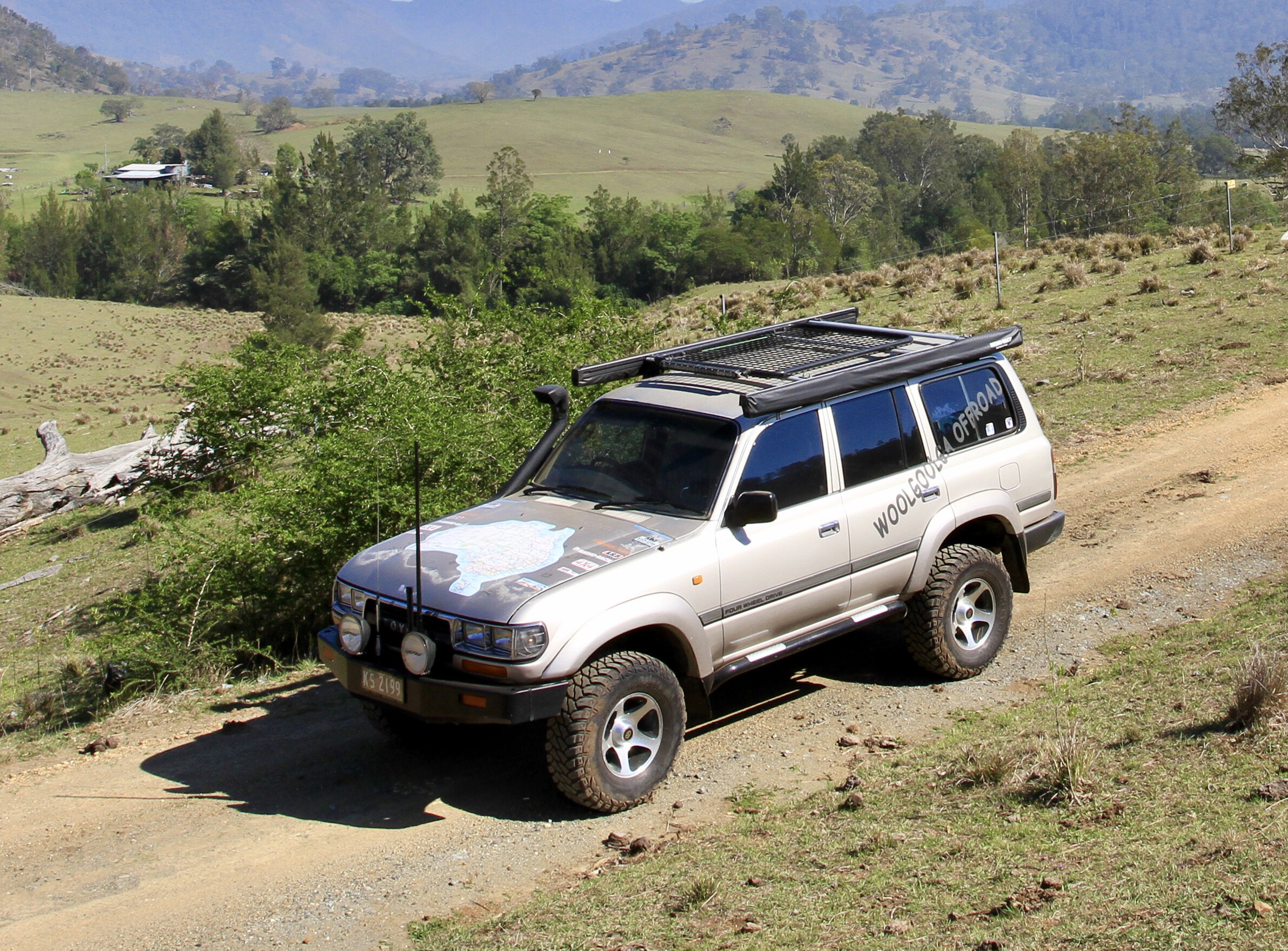
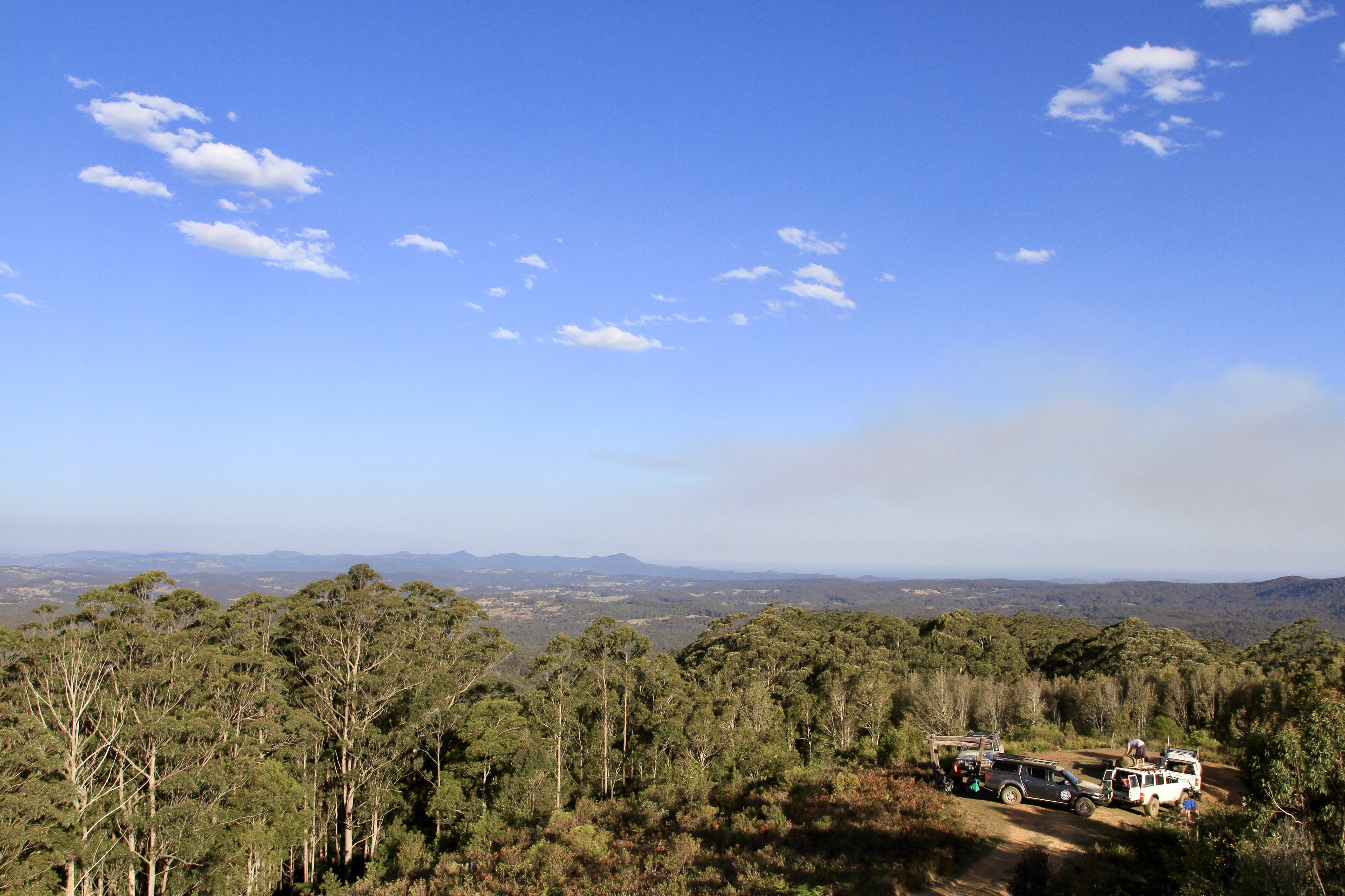
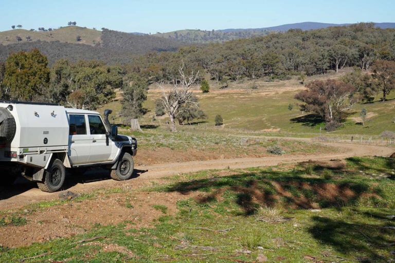
Back on to the Oxley Highway heading west, you will soon start to climb skyward with ever-changing scenery, steep paddocks and cleaner, crisper air. The views are never-ending across the valleys that sweep down towards the coast. At the 56km mark, keep an eye out for Ralfes Trail on the left. The tracks from here are well-formed as they pass through private property, so please leave the gates as you find them.
1
Traversing Ralfes Trail is a nice way to ease in to this trip; wandering around the mountains with several creek crossings, it isn’t long until you connect with The Old Highway Trail. The name says it all, as this was a link back in the days when the loggers found it easier to follow the ridge instead of traversing hundreds of metres up and down over the mountains, before the Oxley Highway was built.
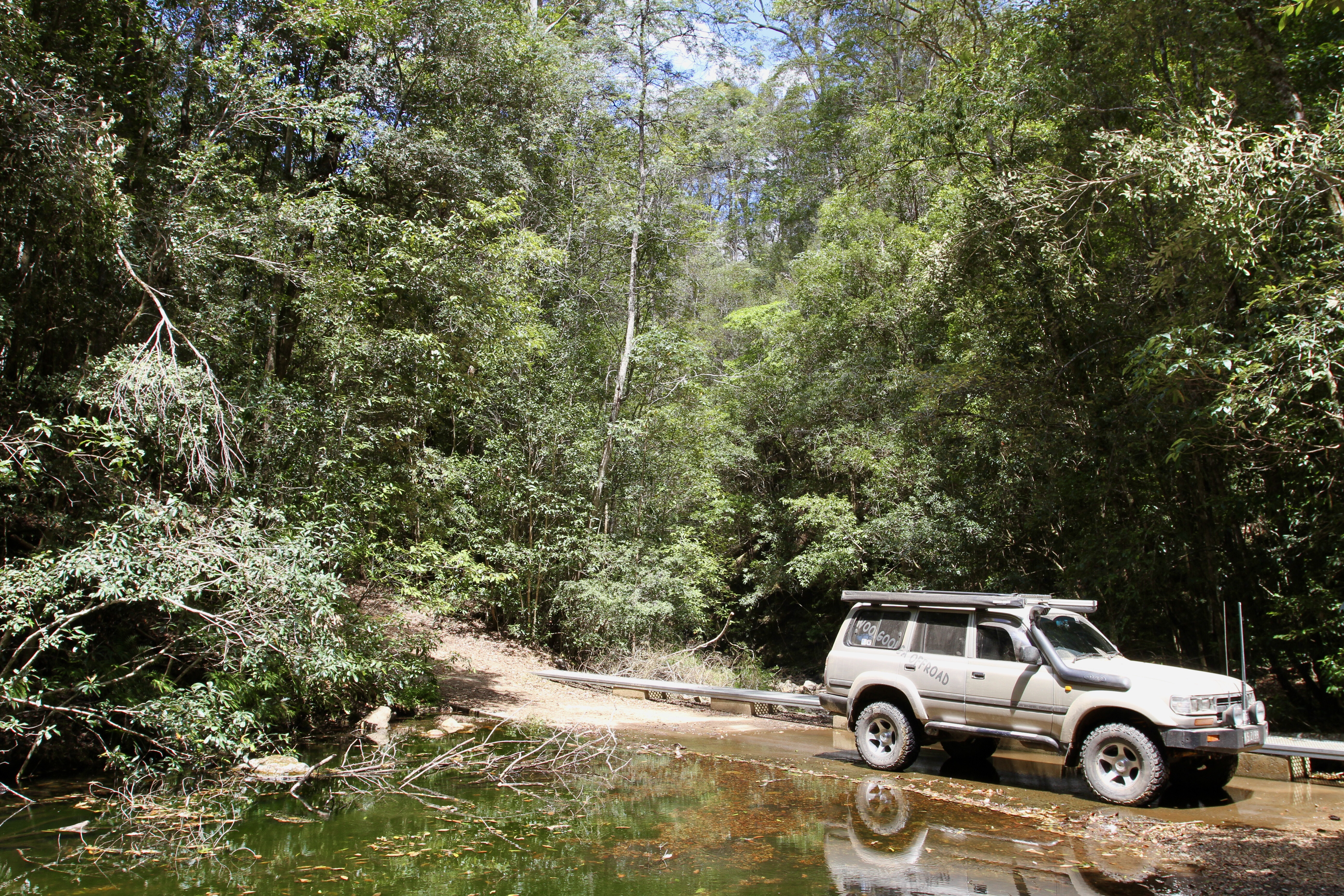
All along these tracks keep an eye out for the massive red cedar stumps that were cut down more than 100 years ago; it’s the perfect place to stop and check out how the old timers cut notches for their planks, to stand on to swing the axe. The Old Highway trail meanders along for another 8km before it connects with Knodingbul Road, then on to Corn Cobb Trail as it drops down into some steep low-range sections and across streams through pristine rainforest pockets, thick vines and tall exotic palms.
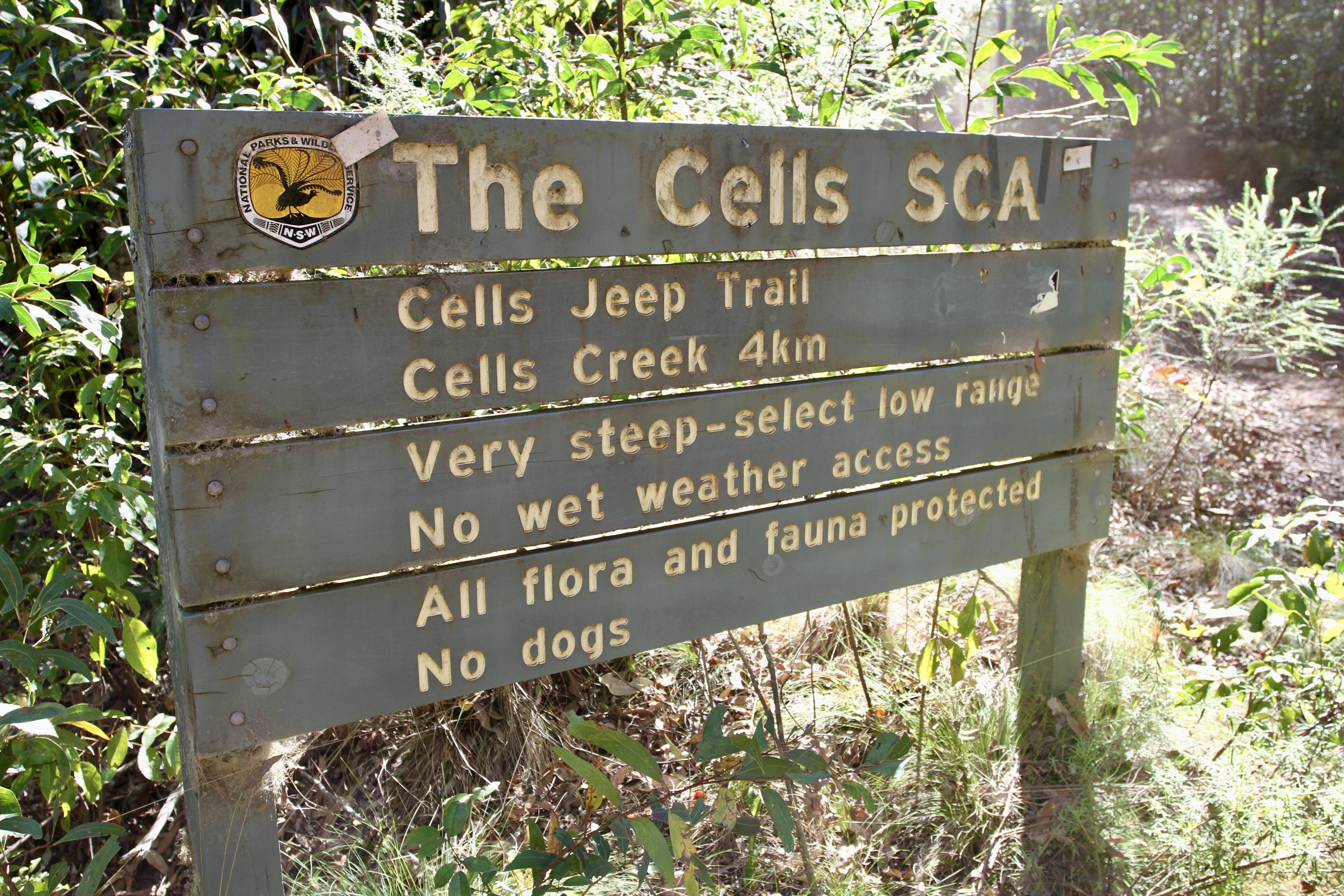
THE CELLS
It’s down here that you need to keep an eye out, as this is where the mines start appearing beside the road. From walk-in mines that go several hundred metres, to pits and shafts – life was pretty full-on down here. As you wander along beside the Cells Creek keep an eye out for the five-head stamper that stands proudly where it was placed more than 100 years ago.
Alongside you will still see the timber framework that was used to direct water and carts to the stamper. Inside one of the larger walk-in mines, there’s a steel gate which was reported to have been used to lock miners inside during work hours – but like any 100-year-old rumour, it may not be true.
We found it pretty easy to lose time down here beside the creeks in the cool fresh air, exploring the mines; but, remember, what comes down must go up. Upon leaving The Cells it’s 4WD territory, as you head up Jeep Trail where, after a few kilometres, you’ll come across The Hilton: a sturdy structure where travellers have blazed their names and dates on the walls and roof. A small walk from here takes you to other mines that lead into the side of the hill – also there are several swimming holes and a small waterfall, to cool off in the warmer months.
1
Wandering uphill you will soon come across Grassy Trail; a quick right turn here will see you follow another ridge along through tall timbers and scrubby undergrowth. Traversing some 900m above sea level along these ridges makes you wonder just how the old timers found the gold out here.
Jumping on to Blue Mountain Creek Trail on your left, it rises even higher as you pass several rocky spurs that provide glimpses of some pretty views across the valley. The Cells Loop is around 40km; not big kays, but it’s still time-consuming as you stop at the mines, criss-cross numerous creeks, and need to engage 4WD to traverse the many hills that make this loop a generous yet casual day away from camp.
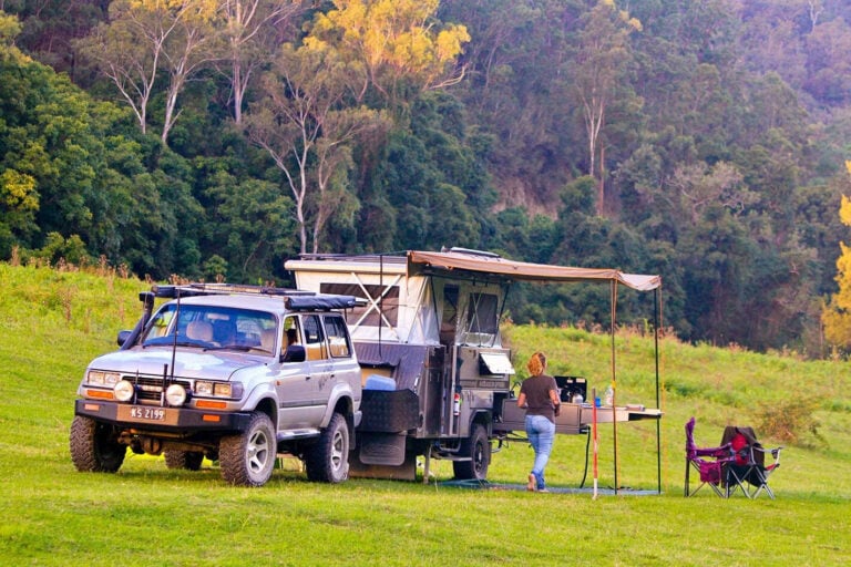
Our camp for the night was at Blue Knob fire tower along Knodingbul Road toward Wingham. It’s getting pretty rare to see fire towers these days, but the NSW Forestry Corporation has restored this one and it’s open to the public to freely climb. Blue Knob is just over 1000m above sea level and is the ninth highest tower in Australia, so you can only imagine how stunning the views are at sunrise and sunset. On a clear day you can see from the coast back over the tablelands to the west. It is possible to camp here, as down on a lower level is a large, flat grassed area and a pretty solid fireplace.
1
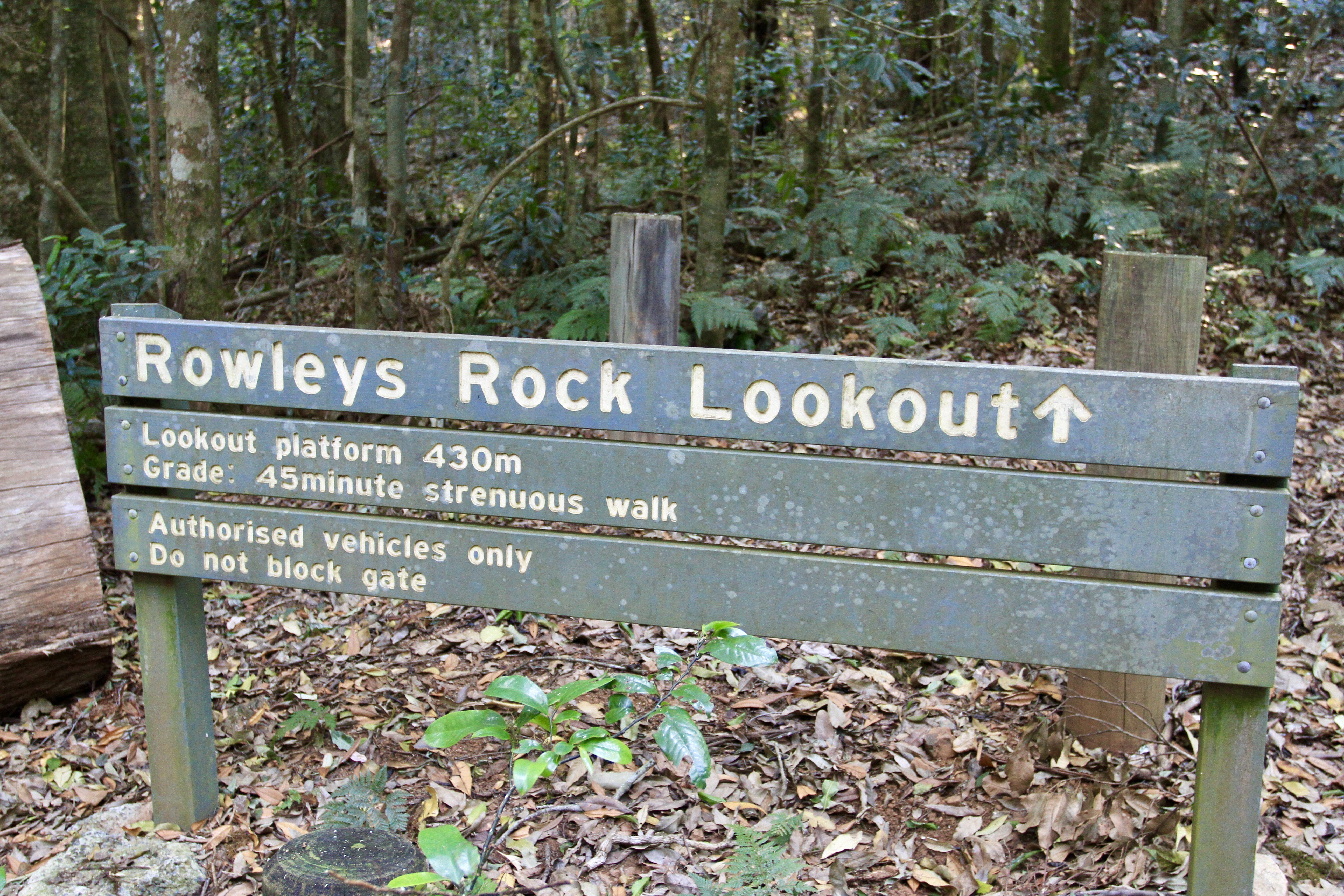
It does get pretty windy up here, but there is another camping area farther along Knodingbul Road named Dingo Tops. NSW National Parks has done a great job here, with excellent camping facilities, info boards, a few relics to explore, with freshwater and several walks on offer if you feel the need. Make sure you take the time to walk the trail up to Rowleys Rock for the stunning views south towards Wingham and up the valleys. Unfortunately there is a locked gate at the bottom of the perfectly formed road which had us dumbfounded, but allow a good hour return for the walk.
Out the other side of the Dingo Tops campground, along Rusty Road, head down to Potoroo Falls, where National Parks has spent time putting in a beautiful picnic area. The 600m walk to the falls is along an informal track, but it was pretty easy to follow to the falls. When we were there the flow was minor, but going on the size of the deep pool and rock erosion it would be epic to see in full flow.
1
The road down to the falls and out the other side is pretty steep, with switchbacks which make for great viewing through the rainforest and tall stands of timber. Potoroo Forest Road joins back on to Knodingbul Road, from where it’s an easy two-hour drive back down the mountain, mostly through State Forest towards Mount George and Wingham.
It’s a pretty cool region to explore and being 4WD access-only, the relics, mines and fire tower have been left to weather away naturally and not get destroyed. For years I have driven past this area and wondered what was in the hills – so make the effort and have a look … you may be pleasantly surprised.
MORE
More NSW 4×4 trips
Follow 4X4 Australia on Google
Get more 4x4 news, reviews and gear stories from 4X4 Australia in your Google feeds.

We recommend
-
 Explore NSW
Following famous bushranger routes in outback NSW
Wherever there was gold discovered, there were bushrangers trying to pry it out of the government’s hands, and you can still follow their trails and misdeeds in NSW.
-
 Explore NSW
Touring Old Glen Innes Road in NSW
Follow the Old Cobb & Co route up the imposing Gibraltar range to the NSW tablelands and Glen Innes.
-
 Explore NSW
Corner Country, NSW
Ron and Viv go on an epic pub crawl through the NSW Corner Country.