Explore NSW
Gallery 1
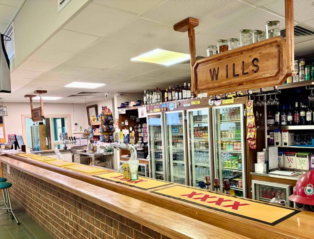
GRAFTON on the NSW’s north coast is known for the yearly Bridge to Bridge ’ski race and the Jacaranda Festival, but just west of the city is the start of a road where many a fortune was lost and found, known to some as The Old Glenn Innes Road. It’s not a hard drive by any standard, and great in a soft roader or AWD.
As you head west out of Grafton along the Gwydir Highway, turn left towards Buccarumbi; this road follows the route of the old Cobb & Co coaches that trundled between the tablelands and Grafton. It was the main route until 1967 when the new highway was built over the Gibraltar Range.
It’s a pleasant 10-minute drive on the tar until you hit the dirt and soon you’ll cross the low-lying Buccarumbi Bridge. We always stop here and stretch the legs – you can see remnants of massive steel and concrete bridge supports that have been washed away by past floods.
1
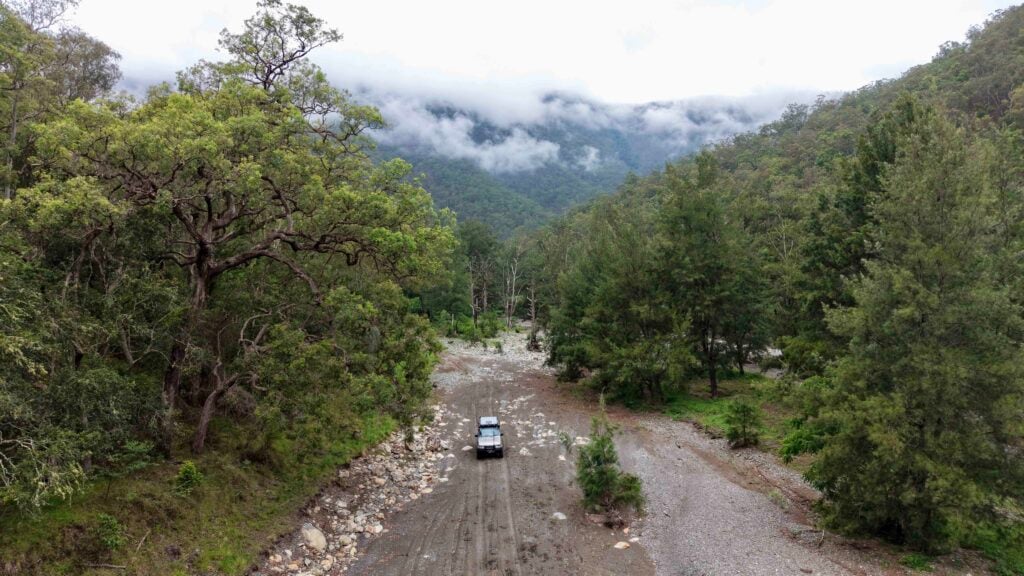
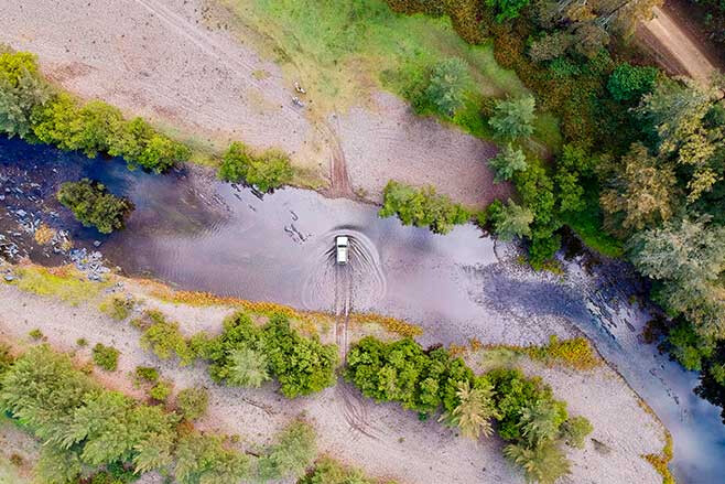
The road then follows the Boyd River as it twists its way through the countryside, giving you stunning views of the area with rugged mountains as a backdrop. For those keen to set up camp down beside the river, keep an eye out around the 50km mark as there are some fantastic secluded riverside spots amongst the twisted native trees that have been shaped by the raging water.
One of our favourite stops is at the old graves that date back to the late 1800s just as you cross the grid along the way. There isn’t much info on these two random graves, but it’s nice to stop and show a little respect.
DALMORTON
IT was around 1861 when gold was found, and by 1871 Dalmorton was declared a goldfield. There were ‘apparently’ 5000 people living here with schools, several pubs, shops and 50 registered gold mines. Around the area there are still a few mines to be found, from simple pits to a few walk-in ones.
MORE
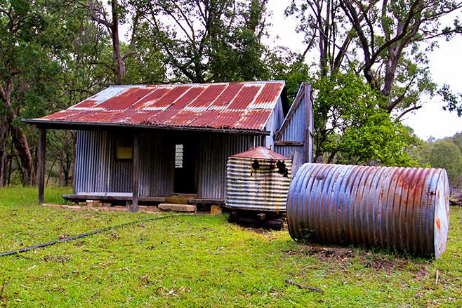
Close to Sydney
From the history files it’s reported that some mines were up to 40m deep where they had massive 10-head stampers operating. Another relic not to miss is the walk from the campgrounds to the old stockman’s hut, where it has been preserved in time.
1
The Cobb & Co mail coach used to run from Glen Innes to Grafton twice a week carrying supplies, mail and passengers between the coast and the tablelands. By the early 1900s the gold was short-lived and families battled to make a living. This area became a ghost town when the new highway was put in over the range. National Parks are restoring some of the old buildings here as part of a history trail; it’s a great spot for the kids to run around and explore.
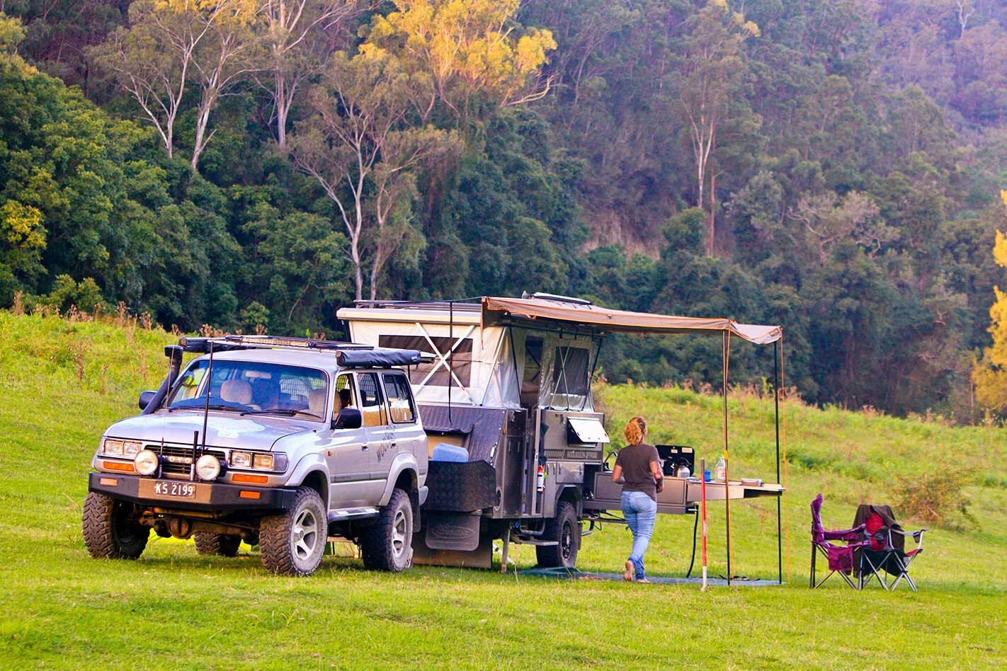
If you are looking for camping options, turn left here at Dalmorton and travel up the hill, as National Parks have put in a huge effort with some great facilities that would impress the pickiest campers. Plenty of spots for small caravans, camper trailers, tents and even designated spots for day-trippers.
Facilities include drop toilets, fire pits and a great grassed area for the kids to play. We reckon the better camping sites are farther past Dalmorton where the camping is free and with river views, but, unfortunately, you need to be self-sufficient with everything along here.
1
One of the highlights of exploring here is the tunnel that washand-cut by workers through solid rock. It is just the right size to squeeze a bullock wagon through.
The road continues along the river, passing remote farms where cattle freely wander along the road without a care in the world. At the 100km mark a 10-foot war monument will catch your eye beside the road. It was erected by Norman Archibald MacDonald in memory of the local men who left the area to fight in World War I.
MANN RIVER GORGE
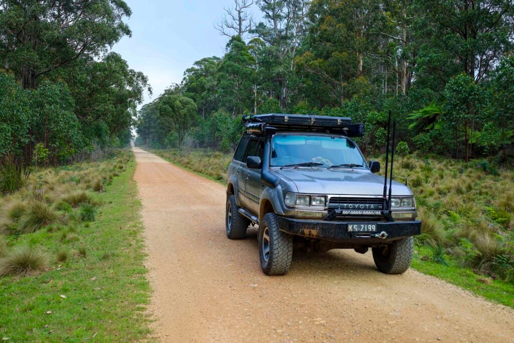
THE Old Glen Innes Road isn’t difficult, but, if you’re after a little 4WD fun, there is a well-maintained track off to the left at the 118km mark. Tommys Lookout Fire Trail will take you up over the 1000-metre mark, all within just four kilometres. A 4WD is recommended, and the views from the top, deep into the Mann River gorge below, are nothing short of stunning.
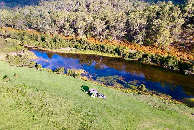
Another camp is the Mann River Nature Reserve just past the lookout turnoff; a well-maintained area suitable for all campers with ample space, picnic tables, fire places, pit toilets and the cooling Mann River running nearby. In the cooler months the water is bloody freezing but well worth a face splash to wake you up.
1
This is a great campsite for the kids as they can play around in the fresh, running water of the Mann River, many of the offshoot pools here are shallow and clean so mum and dad can be rest assured that the youngsters can play safe.
Here at the Mann River camping area is where the dirt stops and the tar begins again as the road winds its way to the top of the range towards Glen Innes. The vegetation changes towards the cooling temperatures of the tablelands where tree ferns, grass trees and tall white gums are more abundant.
The last choice to make is when you hit the Gwydir Highway – do you turn left and head farther west to Glen Innes a mere 35km away, or is it a 120km wander towards the coast to another unique destination, before hitting the coastal hustle and sea air?
Follow 4X4 Australia on Google
Get more 4x4 news, reviews and gear stories from 4X4 Australia in your Google feeds.