Explore NSW
Gallery 1
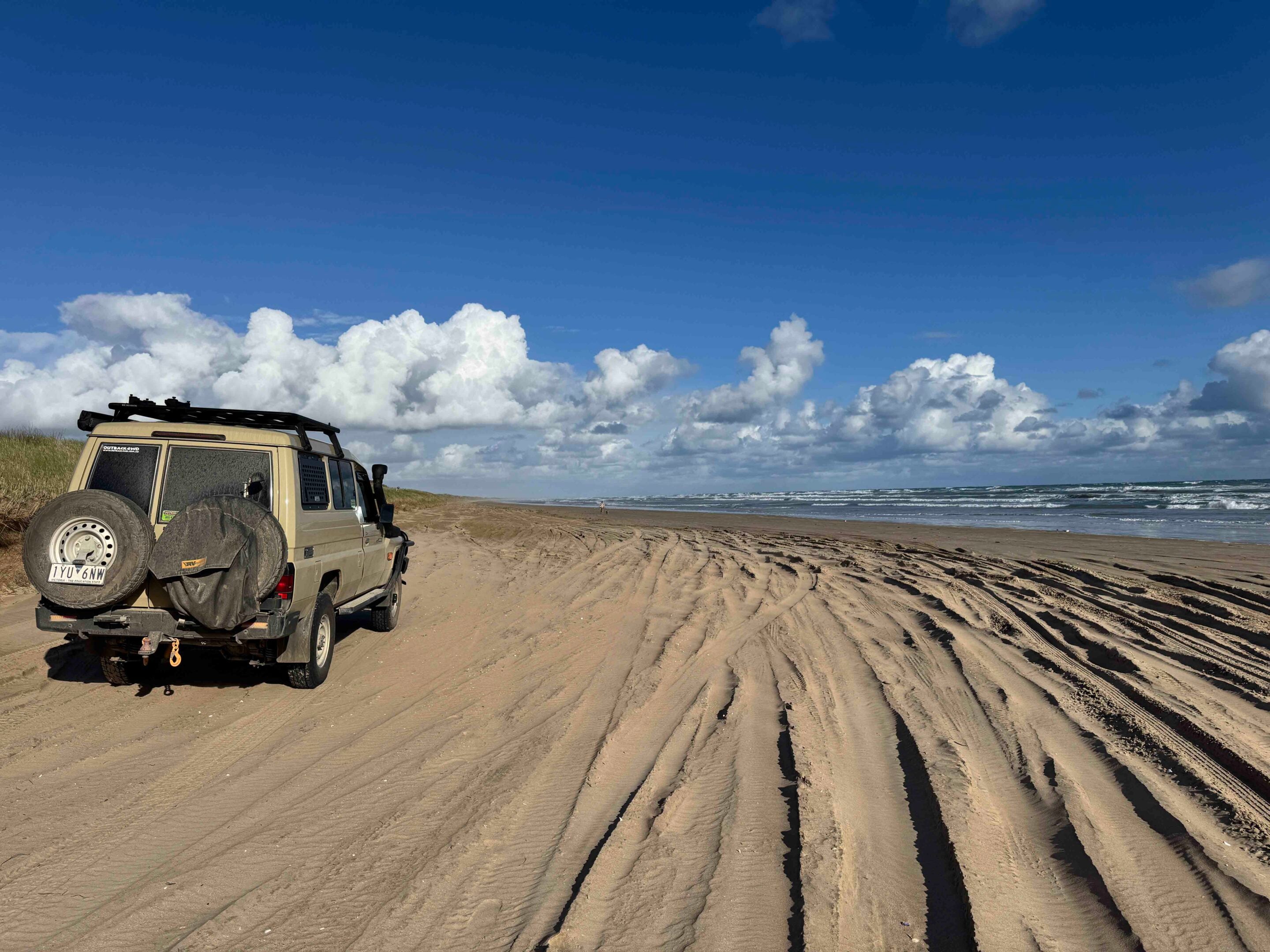
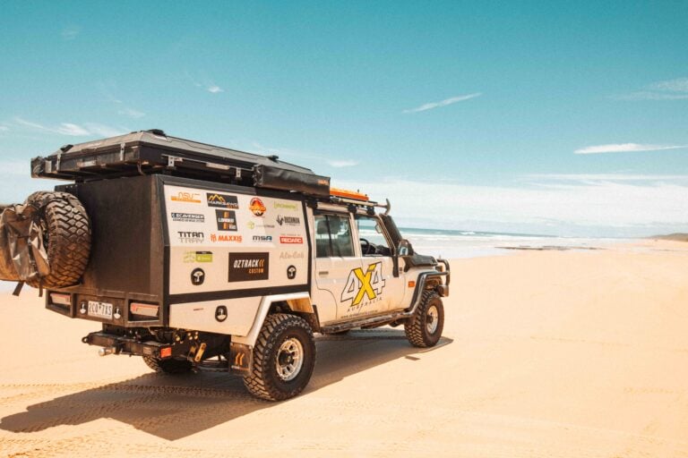
I slipped the Cruiser into four-wheel drive and eased onto the sand track that dropped down to the beach.
It was the final leg of my journey retracing Charles Sturt’s 1829-30 expedition down the Murrumbidgee and Murray rivers to the sea. Just a few days earlier, Facebook warnings suggested the beach was soft, but whatever had worried people must have changed. Once I’d dropped tyre pressures, I never had a worry.
JUMP AHEAD
- From Camden to Canyonleigh
- Through Goulburn and beyond
- Along the Murrumbidgee
- Camping and the Murrumbidgee Valley Regional Park
- Crossing the Hay Plains and Sturt’s Tree
- Through Maude, Balranald, and the Murray
- Into South Australia
From Camden to Canyonleigh
The first couple of days had started easily enough – bloody filthy weather aside – as we left Camden on the southern edge of Sydney’s greater metropolitan area.
Back in November 1829, at the outset of his second major expedition, Sturt stayed with a friend at the newly established Brownlow Hill station, the region having only been settled a few years earlier. Remarkably, that property just west of central Camden has survived the pressure of urbanisation and remains one of Australia’s most significant colonial estates — a rare, near-intact early farm now protected by heritage listing. Brownlow Loop Road cuts through the estate and offers great views of the historic property; it’s a public road, even if the signage at either end may suggest otherwise.
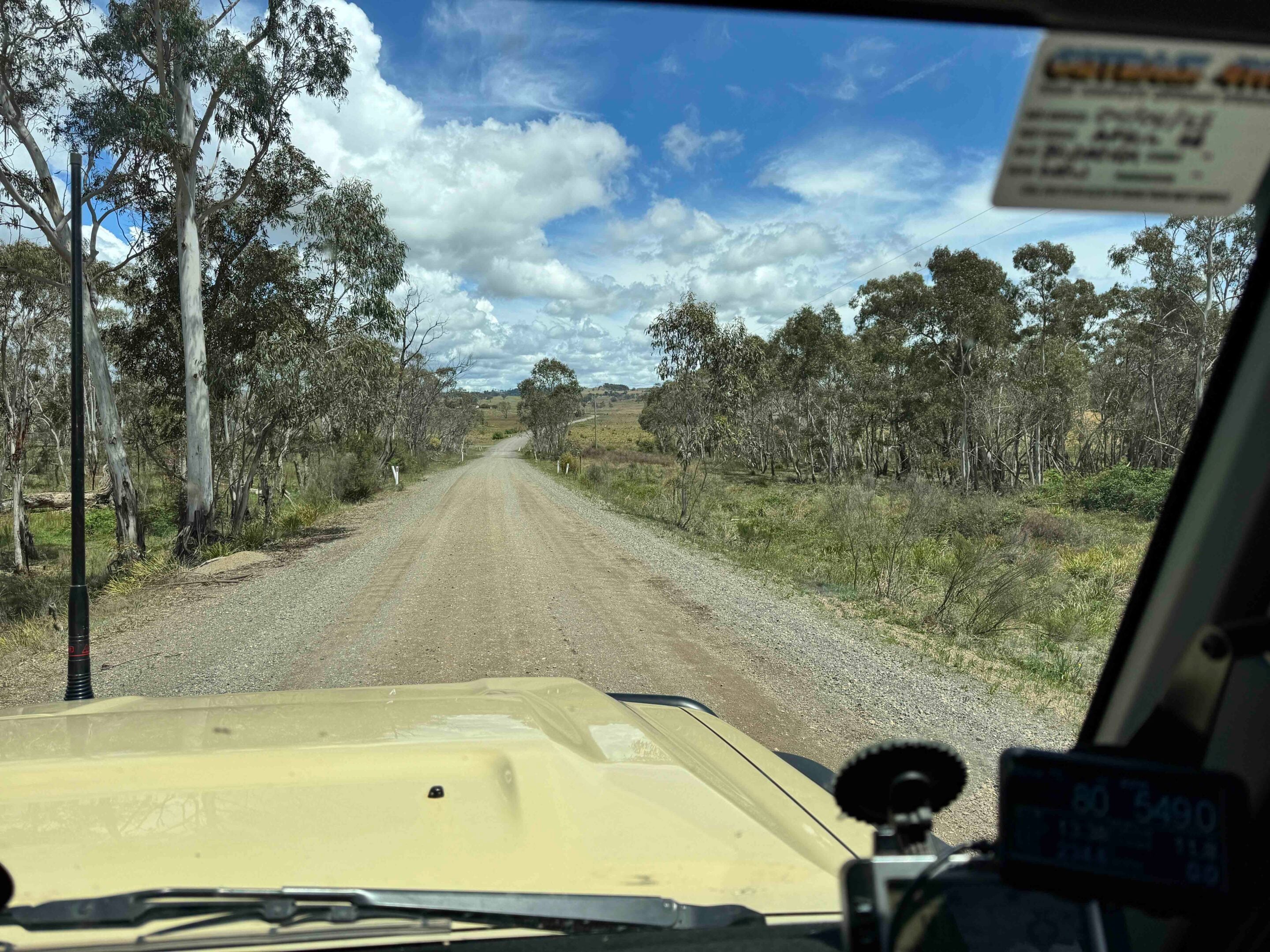
As you’d expect, in the nearly 200 years since Sturt headed south, plenty has changed – and finding even a dirt road that lined up with his route proved a genuine test of my map-reading skills (or lack thereof). Still, south of Picton we picked up a long run of gravel through Canyonleigh, following the general line of Sturt’s path to a shallow ford on the Wollondilly River near the tiny hamlet of Towrang. It must be said the ford isn’t always shallow, nor is the Wollondilly always gently flowing, as the flood debris piled on both banks makes clear. Be prepared to turn back if the river is running too fast or too deep.
1
Through Goulburn and beyond
Sturt had camped on the Wollondilly nearby, at the base of the Cookbundoon Range in mid-November 1829, but try as I might to do the same, I was continually stymied by private property and ‘No Entry’ signs.
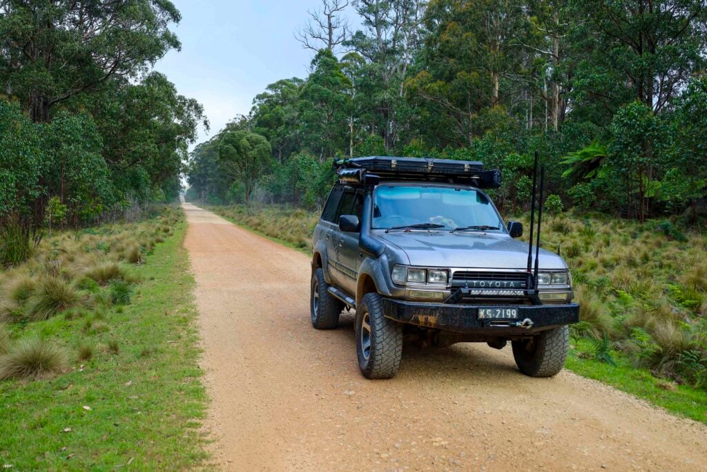
I pushed on to Goulburn and followed dirt roads across the Breadalbane Plains, then up and over the low Cullerin Range to Gunning, keeping reasonably close to Sturt’s original track – and what would later become the route of the original Hume Highway. The Lachlan River rises in the hills north of here, forming one of the major west-flowing water arteries that we’d meet again later in the trip.
At Jugiong, Sturt had his first sighting of the Murrumbidgee – and like him, so did we – before we pushed on to Gundagai, where Sturt and his men crossed to the river’s southern bank. A monument marking the crossing stands in the local caravan park near the modern road bridge. Back in Sturt’s day, the Gundagai area represented the very edge of European settlement, so from this point on he and his party were heading into essentially unknown country.
1
Along the Murrumbidgee
We pushed on, keeping close to the Murrumbidgee as we headed towards Wantabadgery, stopping just short of the small town at the very pleasant Sandy Beach.
We’d camped there before, and I knew it would be just the start – a great introduction to the many fine camping spots dotted along the Murrumbidgee that we’d enjoy in the days ahead. In Wantabadgery we pulled up to check out the small monument to The hero of Wantabadgery – Senior Constable Edward Mostyn Webb-Bowen – who was fatally wounded in 1879 while trying to capture the infamous bushranger Captain Moonlight (sometimes spelt ‘Moonlite’). Moonlight was later caught and hanged for his crimes, and both the policeman and the bushranger are buried in Gundagai.
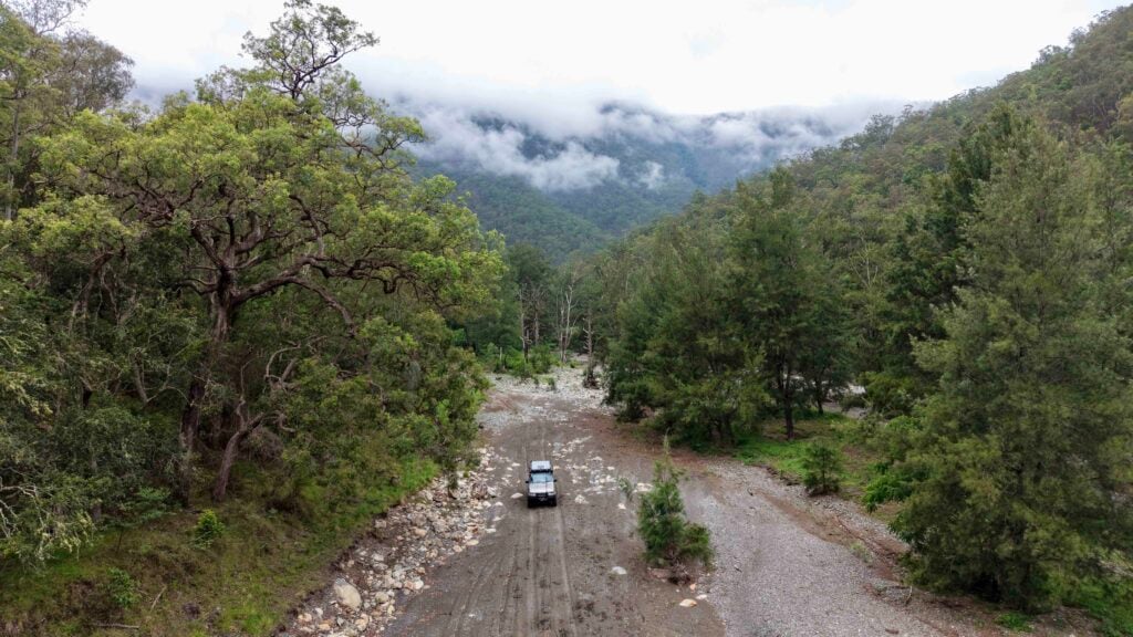
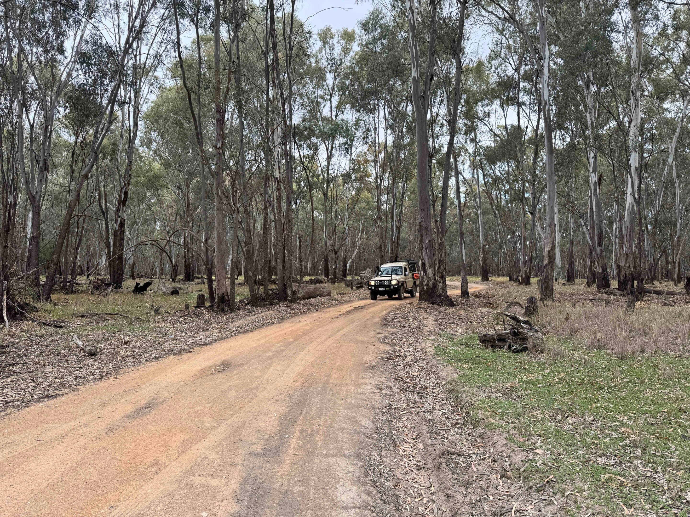
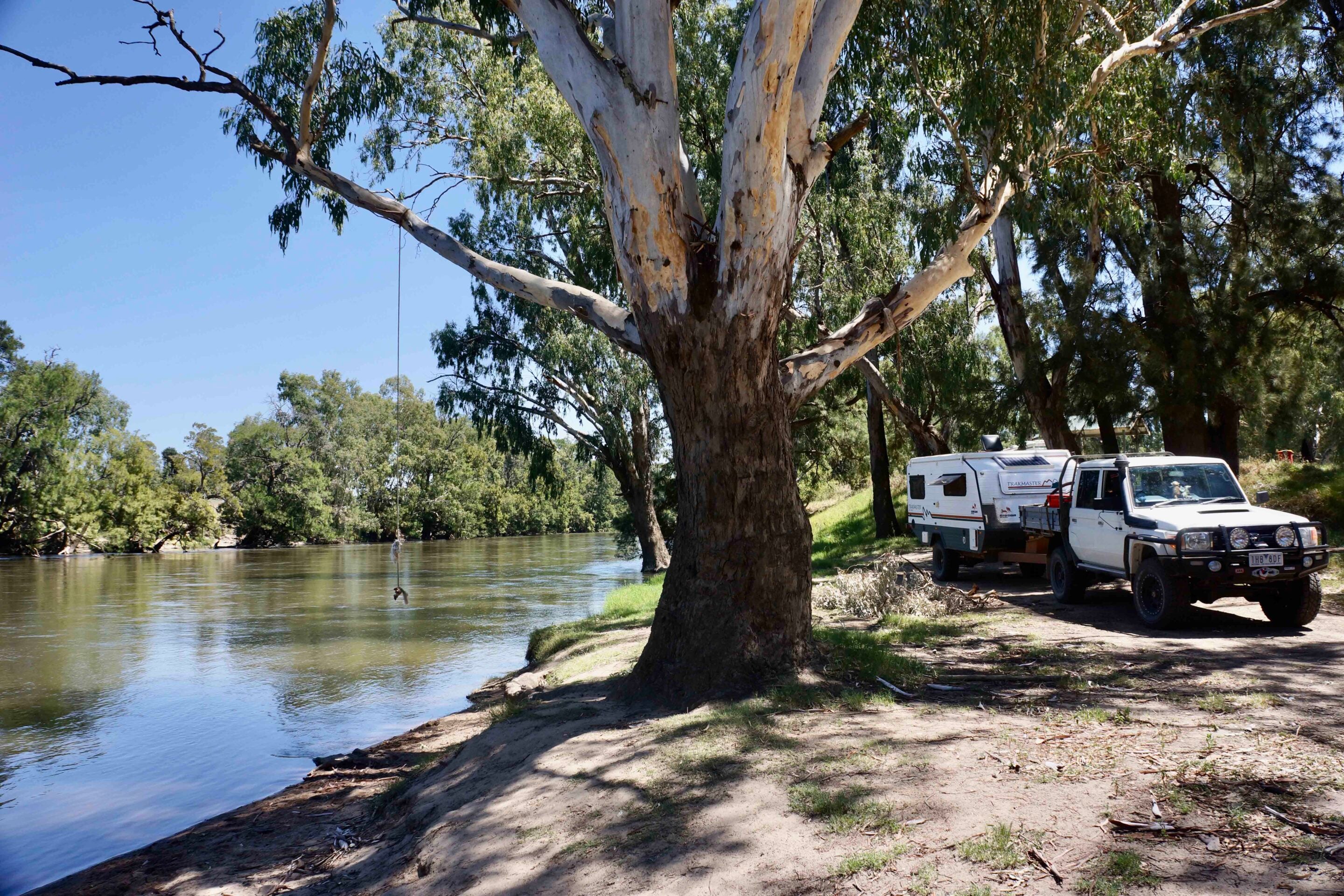
Following the Murrumbidgee westward, about 18km east of Wagga Wagga we swung into the Oura Beach Reserve for a look, but with it being early in the day – and the place already dotted with vans and campers – we pushed on. West of the city we were back on the gravel, River Road starting out in good condition before gradually degenerating into a 4×4 track as we passed the last of the farmhouses along the river.
Passing through a gate into what’s known as Jones Reserve, we found ourselves right on the banks of the stream – a cracking spot to pull up for a night or two. The track continues on, heading away from the water and winding through open forest and across a few grassy dunes before meeting Old Narrandera Road. As the signs on the exit gate later revealed, somewhere since leaving the river we’d passed into Saw Pit Reserve which, as a designated Travelling Stock Route, doesn’t allow camping. I’m never quite sure why that rule applies to these open bush areas of Crown Land – or whether it applies to those actually driving stock.
1
Camping and the Murrumbidgee Valley Regional Park
East of Narrandera we had a look at the camping options at Berembed Weir and at the Rocky Waterholes. My pick is Berembed Weir; it was far quieter than the Rocky Waterholes site.
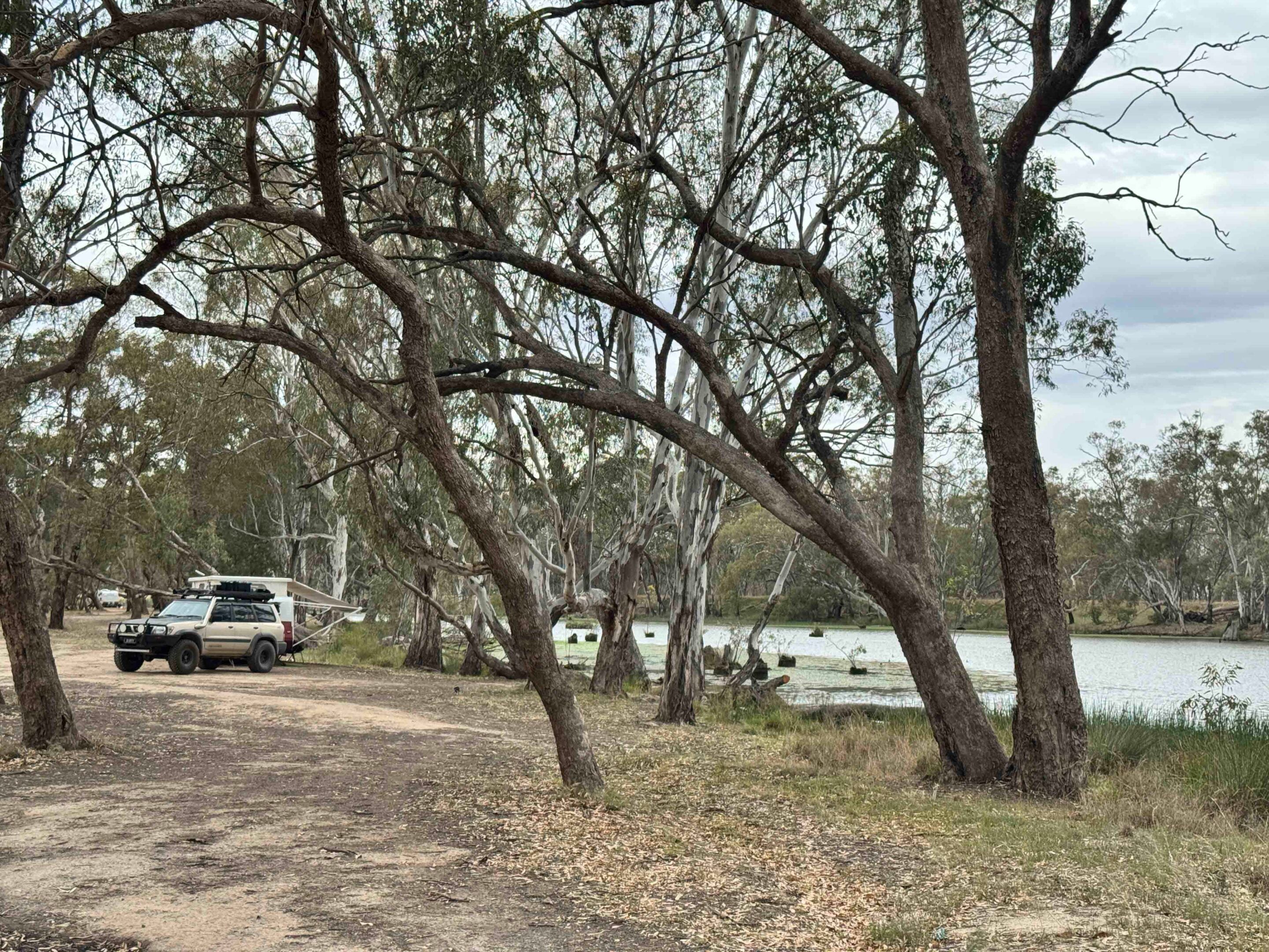
West of Narrandera, on the north side of the river, a series of disjointed forest and bushland parcels make up the Murrumbidgee Valley Regional Park (MVRP – pronounced Mer-um-bid-gee if you’re not a local). Along here the riverbanks and their big river red gums look much as they would have in Sturt’s day. The park offers plenty of campsites dotted along the river, some with sandy beaches ideal for swimming or paddling.
To stay close to the river, take River Road west of Yanco, where you’ll find access tracks leading through the red gum forest to the water’s edge. When we were here a few years back the tracks were strewn with fallen timber; this time around it wasn’t an issue – but be warned. Most of the tracks are easy going when dry, but when wet these mostly black-soil plains can turn even a simple trail into something slippery and boggy. In the Willbriggie section of the regional park, west of the small town of Darlington Point, you’ll find a half dozen campsites along the river with Swaggies Beach being our favourite.
1
Crossing the Hay Plains and Sturt’s Tree
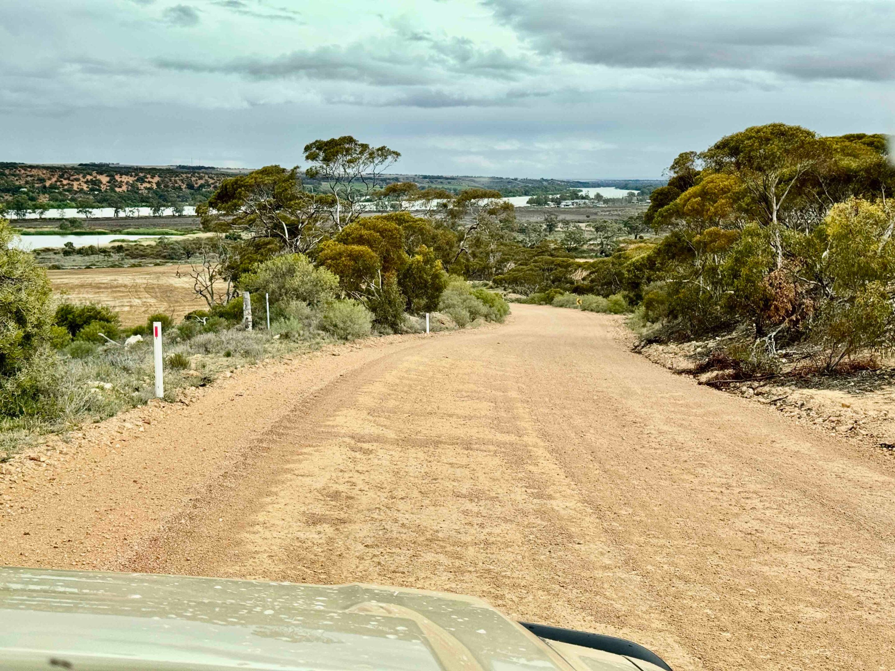
As you head west, the road crosses the Hay Plains well away from the river and seems to stretch to eternity across a flat, dun-coloured landscape of saltbush, bluebush and drying lignum.
The only relief from the monotony comes from the lines of trees marking an ephemeral watercourse or an occasional stand of hardy acacias such as mulga and myall. Even Sturt recorded similar thoughts on the monotonous landscape stating, “Our route during the day was over as melancholy a tract as ever was travelled… It is impossible for me to describe the kind of country we were now traversing, or the dreariness of the view it presented.” He’d be amazed at the transformation that irrigation has brought to much of the region.
About 4km east of Hay, a small carpark on the south side of the highway – close to the river – marks the site of Sturt’s Tree. A plaque erected in 1979 identifies the location, the blaze on the tree now sitting at its base after being found almost buried under flood debris and mud built up over the intervening years. Hay itself has the popular Sandy Point Reserve along the edge of the Murrumbidgee – Sturt camped close by – but just west of town is the small Wooloondool section of the MVRP, which offers about half a dozen camping areas along the river. The western-most camp, Mad Dog Bend, is the best and largest in my view; like most sites in the MVRP, there are no facilities.
1
Through Maude, Balranald, and the Murray
At the tiny hamlet of Maude we turned onto Nap Nap Road – there’s a camp right on the river’s edge just after the turn – and headed south-west, the route skirting the fringe of the vast Great Cumbungi Swamp.
The swamp sprawls across a huge expanse around the junction of the Lachlan and Murrumbidgee rivers. It stopped explorer John Oxley in 1817 and forced Sturt to take to his boat – which he’d dragged all the way overland from Sydney – only a short distance downstream of Maude. Today, much of the swamp has been drained, but you’ll still see remnants of lignum and cumbungi close to the road.
At Balranald we explored Yanga National Park, which protects more than 170km of Murrumbidgee River frontage – much of it looking much as it did when Sturt and his men rowed past. Centred around the historic Yanga Homestead, the property was once the largest in NSW, running in excess of 100,000 sheep in its heyday. In 1922 the 40-stand shearing shed shore 93,386 sheep and produced more than 2000 bales of wool.
1
Back in the 1980s we used to chase feral pigs through the lignum here – great fun, and we were doing the environment a favour. Today there are a couple of camping spots in the park, both on the river: one close to Balranald and the other at the very northern tip of the park, which is by far the more remote and quieter of the two.
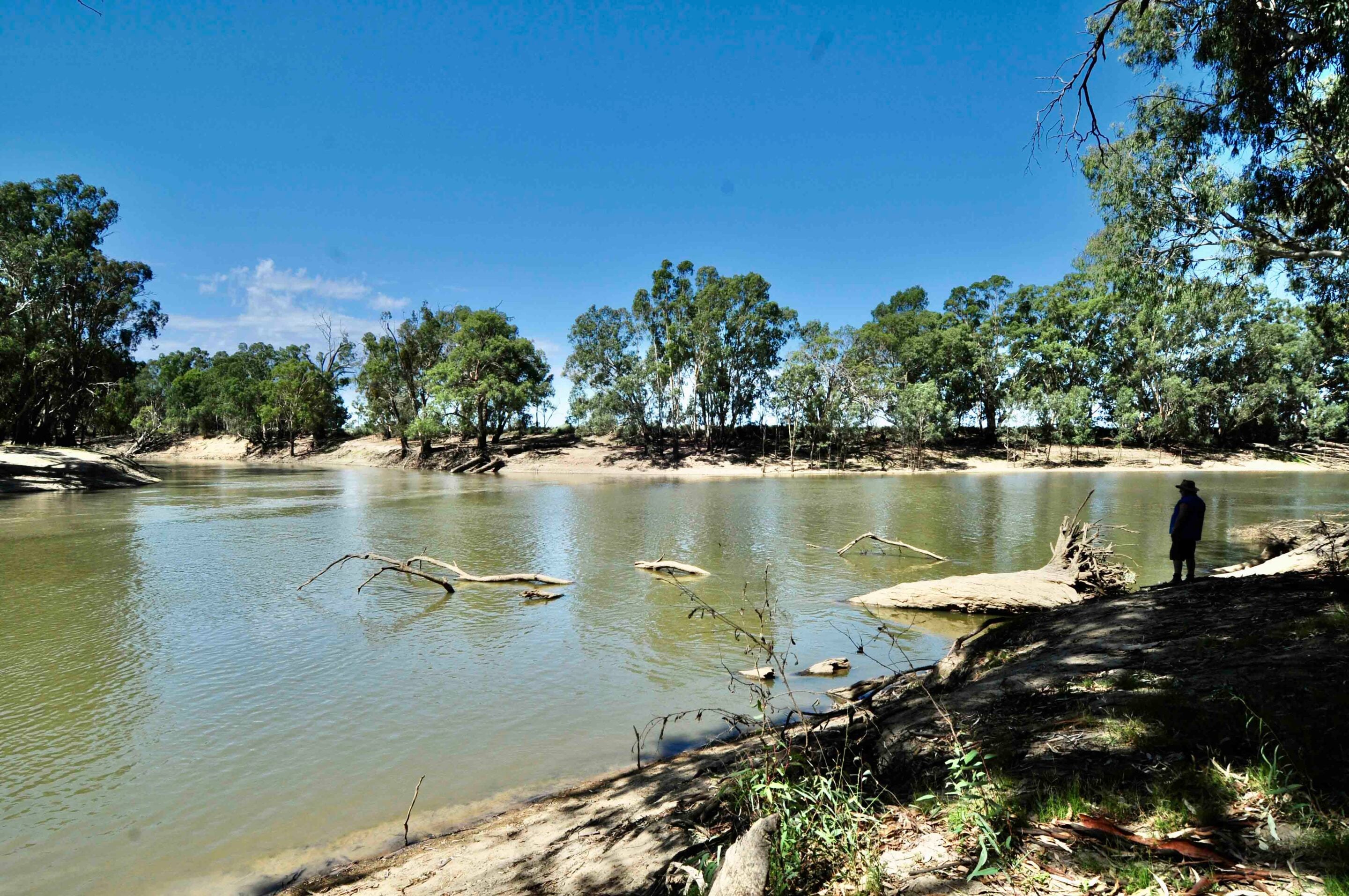
The Murrumbidgee ends where it joins the Murray, the point where Sturt and his party were swept out onto “a broad and noble river”. That junction of the two great streams isn’t easy to reach from the NSW side, so we crossed into Victoria and made our way to Junction Camp, east of the small township of Boundary Bend, in a section of state forest slated to become part of the proposed Murray River Park. Much of the track network here has become overgrown, and the camping spot at the actual junction leaves a lot to be desired. Passage Camp, just a few kilometres away, is a far better place to pull up with a camper or throw down the swag.
We followed the river westward and stopped at Junction Park in Wentworth, where we viewed the junction of the Darling and Murray rivers. It was here that Sturt had a tense confrontation with a large group of Aboriginal people – but throughout this expedition, and in his journeys before and after, his leadership meant no blood was shed on either side.
Back on the road we headed along a good dirt run to the Rufus River – named by Sturt after his friend’s red hair, believe it or not – and found a small camp beside the stream, just south of the large, shallow Lake Victoria.
Into South Australia
Next day we crossed into South Australia – the state whose very foundation, just a few years later, was shaped in part by Sturt’s journey down the river.
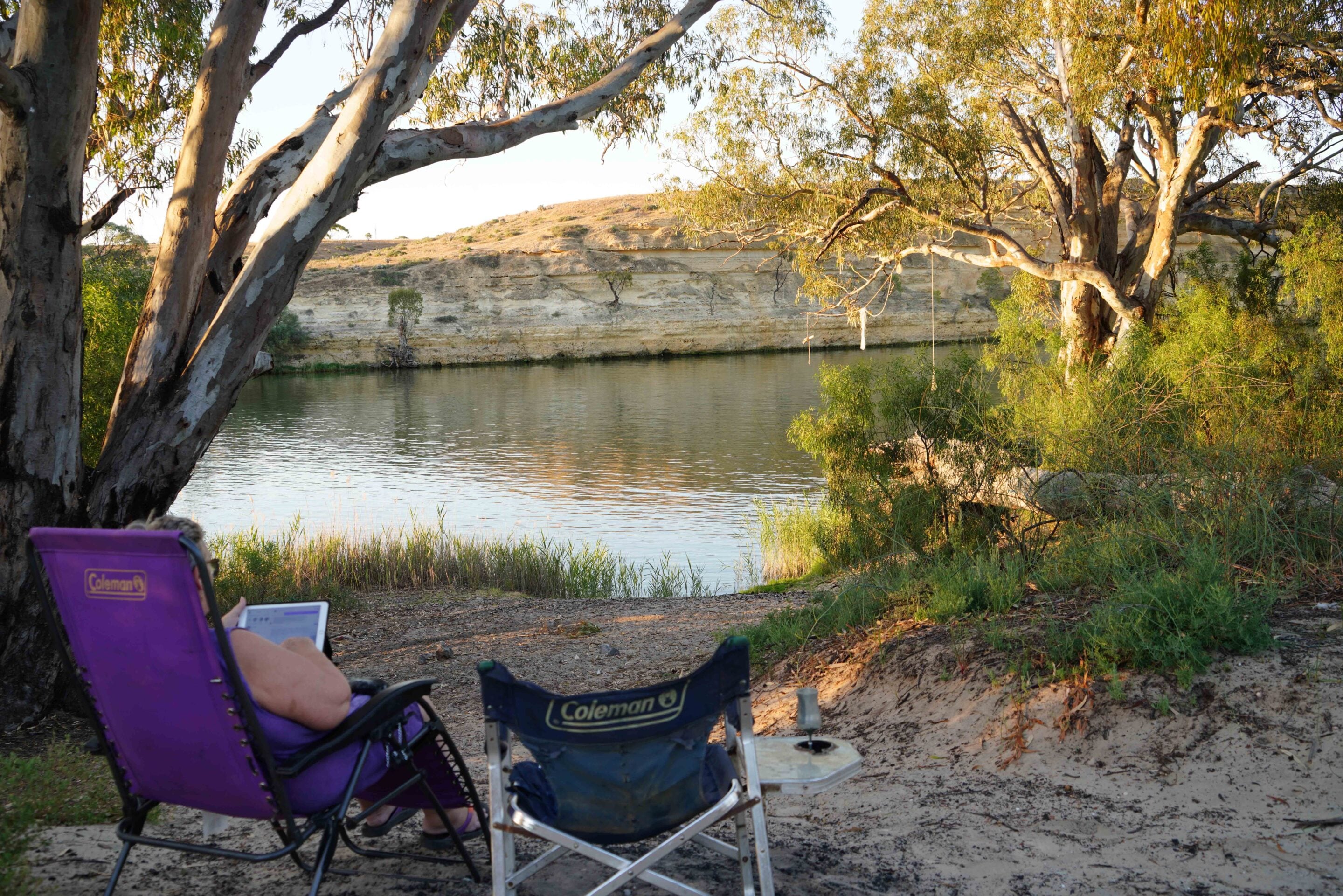
Here, amongst the vineyards and orchards of Australia’s food bowl, there are a number of parks and reserves that remain much as they were when Sturt sailed past. These include the Murray River NP and, further west, Morgan CP, to name just two. We like camping in the latter, on a bend of the river opposite the great cliffs Sturt wrote about, saying:
“It (the river) increased considerably in breadth and stretched away before us in magnificent reaches of from three to six miles in length. The cliffs under which we passed towered above us like maritime cliffs, and the water clashed against their base like the waves of the sea.”
Two days later we were standing on a low headland overlooking Lake Alexandrina, just on the outskirts of the pleasant Aboriginal community of Raukkan. You reach it via a short ferry ride across the narrow Albert Passage, which links Lake Alexandrina with the much smaller Lake Albert. Overlooking the passage is the small but distinctive Point Malcolm Lighthouse – the only lighthouse in inland Australia.
28
On the outskirts of Raukkan stands a monument to Sturt, erected by the local community in 1930. It must be the only monument erected by Aboriginal people to a European explorer in all of Australia – I’ve certainly never heard of another.
On the western side of the lake is Point Sturt – visible from the monument at Raukkan on a clear day – from which Sturt sailed on the final leg of his journey. The headland is reached via a gravel road that cuts across flat farmland before giving way to a more natural landscape as you reach the low promontory overlooking the expanse of water. It’s not a bad spot to camp, especially if the wind has eased.
Sturt then pushed on down what we know today as the Goolwa Channel and camped near where the present-day barrage crosses the stream to keep saltwater out of the lake and surrounding country. From here, he and his men walked across the intervening dunes and along the beach to the Murray Mouth. Not being that energetic, I headed to the local Surf Life Saving Club and took to the beach for the final run in Sturt’s footsteps.
It had been an enjoyable and enlightening trip in the wake of one of Australia’s great explorers.
MORE
SA travel yarns!
Follow 4X4 Australia on Google
Get more 4x4 news, reviews and gear stories from 4X4 Australia in your Google feeds.

We recommend
-
 Explore NSW
Kwiambal National Park is an ideal destination for a weekend adventure
Waterfalls, hiking trails, caves and quiet campsites. Kwiambal National Park has all the ingredients for a weekend adventure off the beaten track
-
 Explore
From the outback to the coast: An epic off-road adventure from Tilpa to K’gari
A three-week 4WD convoy through dusty outback pubs, free river camps, and sandy coastal tracks, from Tilpa to K’gari (Fraser Island)
-
 Explore NSW
Touring the New England region of the Great Dividing Range
One of Kev Smith’s favourite places is in his own backyard: the New England area of the Great Dividing Range on NSW’s north coast