Explore WA

Gallery 1
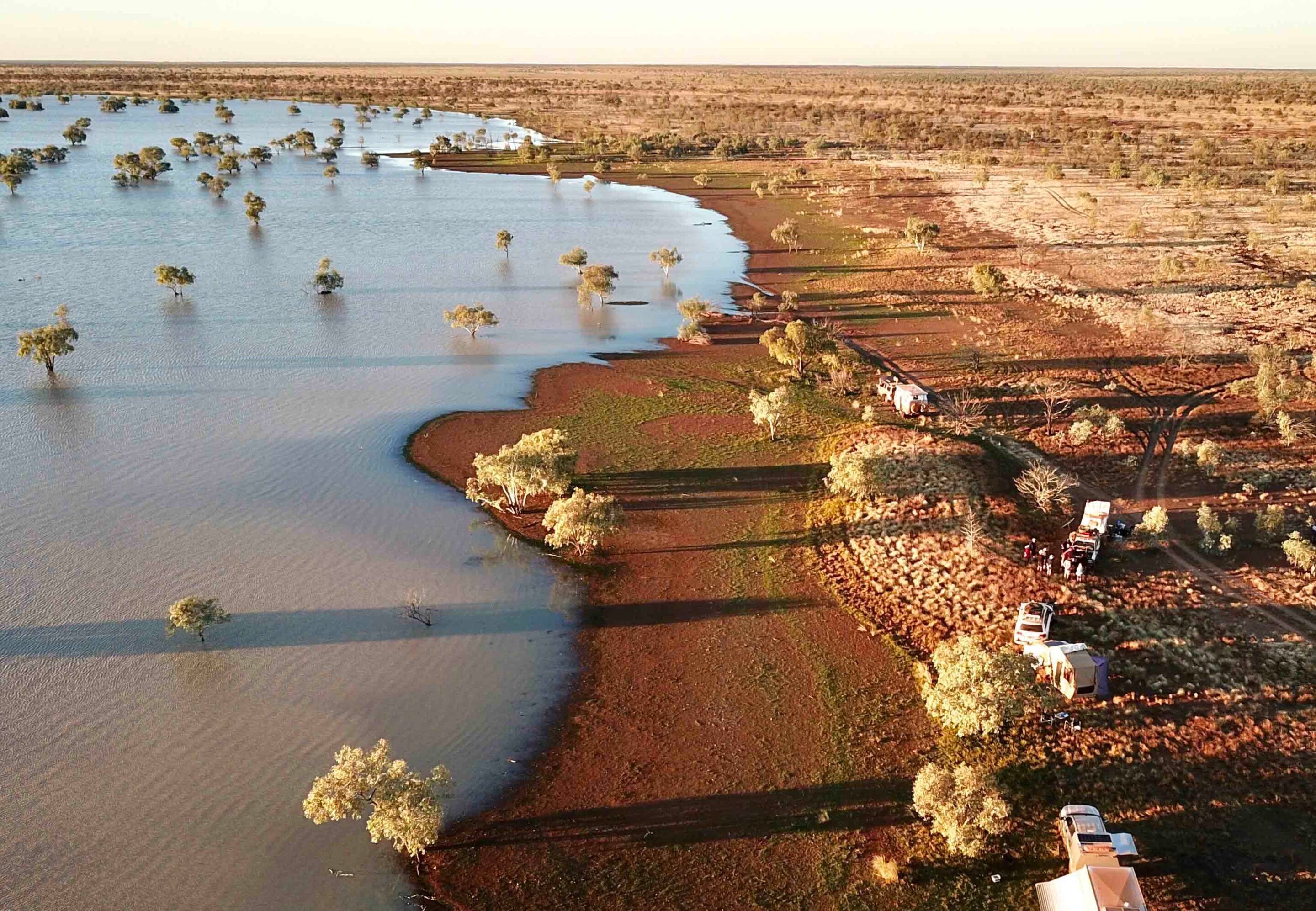
I thumbed the controller joystick and the drone responded, climbing higher, but the view didn’t change all that much as all I could see was a vast expanse of water where none was supposed to be.
We were on the Tallawana Track in the northern part of the Little Sandy Desert, about 10km west of Windy Corner, where water – any water – was a darn-sight rarity. Our little convoy of keen desert travellers had ground to a halt on what was, as it turned out, the edge of an enormous inland lake. The moral of this little snippet? Be prepared for anything, including turning back and finding another way … which was what we did!
Viv and I had first travelled these far-flung roads, known as the ‘Bomb Roads’ or the ‘Beadell Roads’, in 1984 and ’85, on two separate trips that took in all of the roads constructed by the legendary Len Beadell and his Gunbarrel Road Construction Party (GRCP).
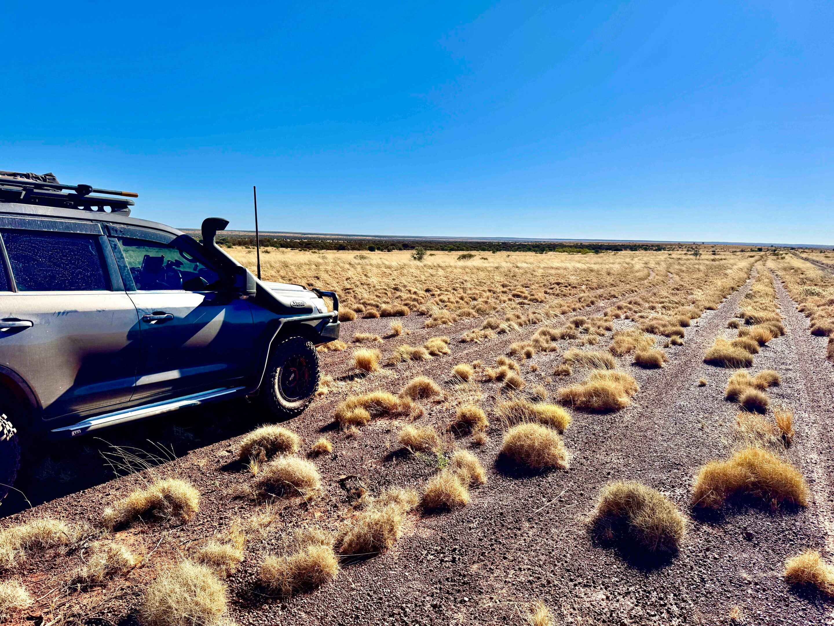
These ‘Beadell Roads’ cover the vast desert country of western South Australia and adjoining Western Australia, north of the Indian-Pacific railway line and south of the Kimberley. They were constructed in the 1950s and ’60s to provide a road network and access for the Woomera rocket tests and the atomic bomb trials carried out at what we know as Emu and Maralinga.
1
Len Beadell had chosen the site of Woomera and its rocket range after WW2 when Britain wanted to test its long-range rocket capability and its A-bomb-making and detonation competence. The Woomera rocket range once covered 270,000sqkm and stretched from Woomera to the Indian Ocean north of Port Hedland. Today, managed by the RAAF, it’s still testing missiles and drones but only covers 122,000sqkm, though it is still the largest land-based missile testing range in the western world.
In all, there were more than 6000km of desert tracks constructed by the GRCP, the most important being the east-west Gunbarrel Highway. While the Gunbarrel was the first link across central Australia from east to west, others followed, including the Anne Beadell Highway and the Gary Junction Road, along with an interconnecting grid of north-south roads.
While a few other graded roads now cut across this huge landscape, many are restricted in use to mining exploration companies and Aboriginal communities. The one big exception to that is the Great Central Road (GCR), which takes in sections of the original Gunbarrel and is a well-maintained dirt road from Laverton in the west to Yulara in the heart of the country. Today, with ever-increasing sections of bitumen, this road is transforming access to this once-remote region.
1
Before you go: Permits, preparation and recovery
You’ll need permits for all the Beadell Roads and the GCR, and while most are easy and quick to get, make sure you do it in plenty of time just in case there is a hiccup.
They can be closed after wet weather, for Aboriginal Men’s Business and for weapons testing from Woomera, among other reasons. See each track info section below for details on permits.
We won’t go into too much detail here on what experience you need, how your vehicle should be maintained and set up, and what you need to carry. Suffice to say you’ll need to think seriously about fuel and water requirements, communication equipment, a comprehensive first-aid kit and a toolkit suitable for your vehicle. The latter should include, for modern vehicles, an OBD2 diagnostic scanner suitable for your vehicle.
Lastly, but most importantly, have an emergency plan if you break down and can’t fix it. Recovery insurance is a great backstop. For any actual recovery, we’d recommend Andy from Outback Tilt Tray & Recovery Services in Laverton, phone 0428 196 306. There are other recovery services scattered across the region.
1
Gunbarrel Highway
The Gunbarrel Highway was built in the mid-1950s, linking the Stuart Highway to Carnegie Station and Wiluna.
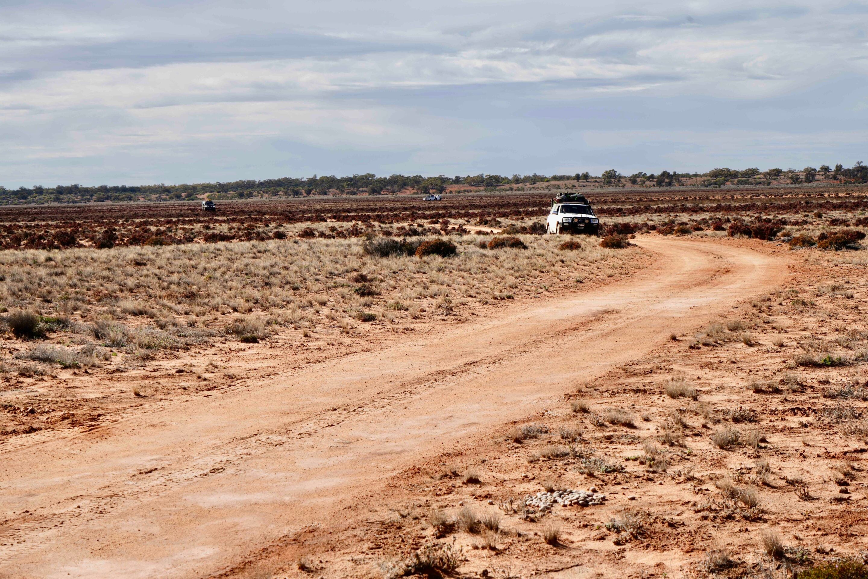
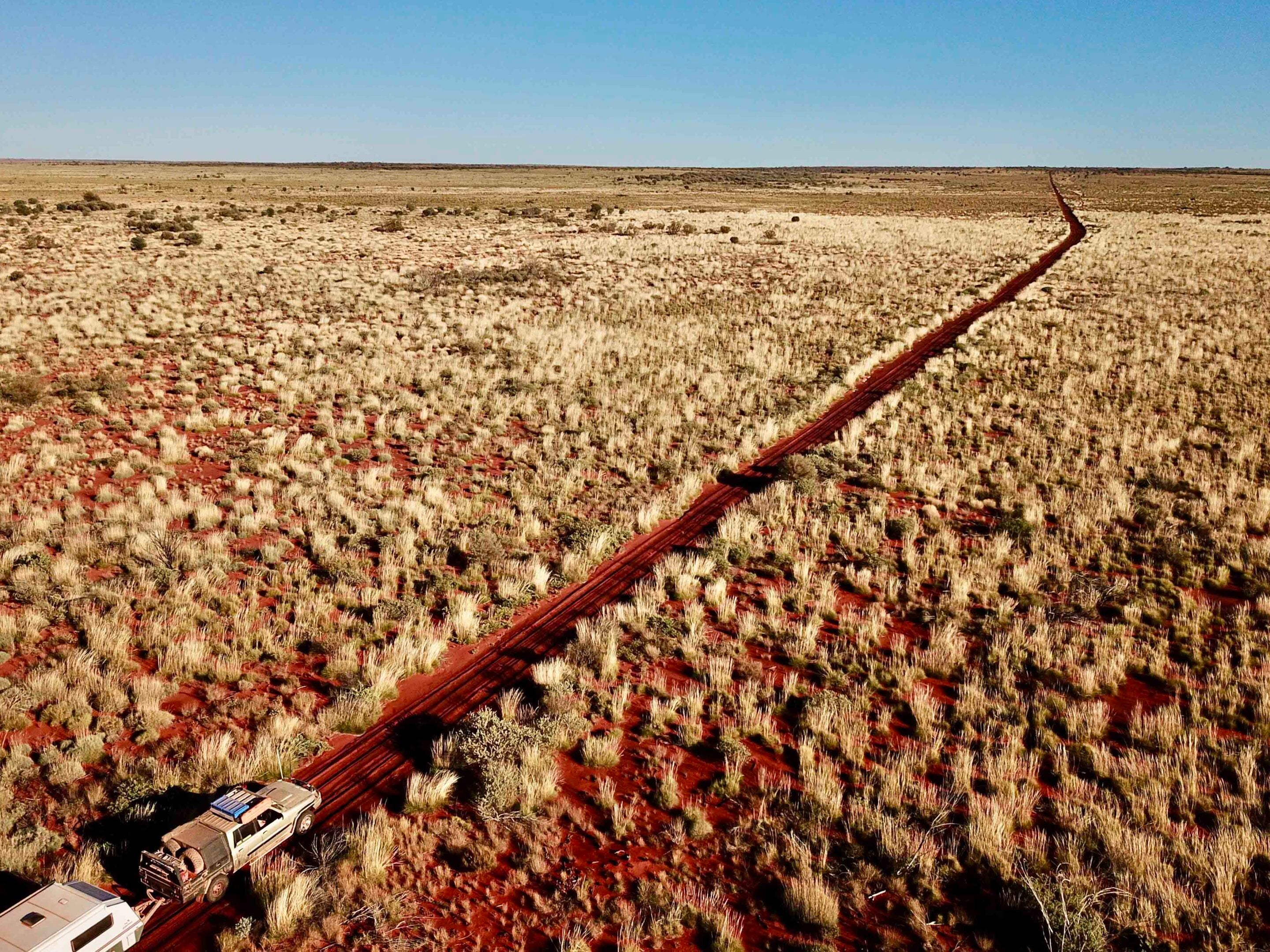
While parts of the original route have been bypassed or are now closed, most adventurous travellers love the 830km stretch from Warburton to Carnegie. There are no fuel or supplies between these two places. Warburton has fuel, a store and camping. From the Great Central Road, head via the Heather Highway to join the Gunbarrel. The track has no sand dunes but can be rough, with corrugations and washouts.
Highlights include the many Beadell plaques along the way, Camp Beadell (a good spot to stop), Mt Beadell and its monument, Everard Junction where the Gary Highway heads north, and Geraldton Bore (good water, camp and birdlife). Near Mungili Claypan (detour around the southern edge if wet), a track to the south leads to distant Empress Springs.
Conditions improve west of the claypan, though corrugations remain to Carnegie, where fuel and camping are available. From there, it’s 340km to Wiluna on a generally well-maintained gravel road, with fuel, supplies and the Canning-Gunbarrel Discovery Centre worth a visit.
- Permits: Ngaanyatjarra Council Group (↗)
- Where to stop: Warburton Roadhouse (↗)
- Carnegie Station: (08) 9981 2991
- Wiluna Caravan Park: (0474) 255 543
1
Anne Beadell Highway
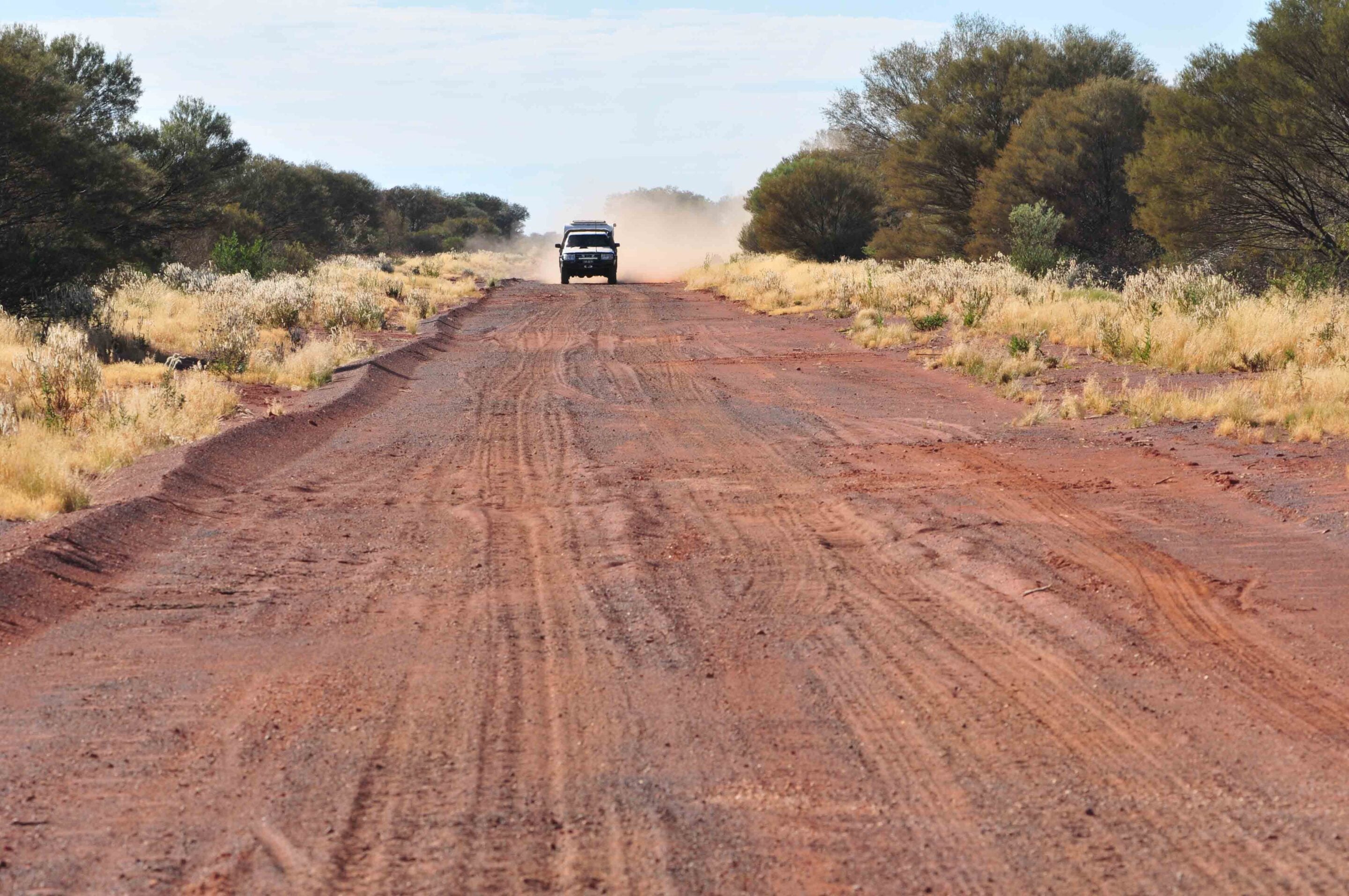
This east–west route offers a more remote and challenging alternative to the Gunbarrel or Gary Junction Road. Stretching 1380km from Coober Pedy to Laverton, conditions vary from smooth to heavily corrugated, while the Serpentine Lakes near the WA-SA border can be slippery and boggy after any rain.
The track mainly follows the interdunal valleys, though it does cross some dunes that can be tricky. This year, the section east of Emu Junction has been graded, improving that part of the drive. You need four separate permits to travel this route, so apply for them well beforehand. Fuel and limited supplies are only available at Ilkurlka Roadhouse, so check ahead.
Highlights include Tallaringa Conservation Park, Len Beadell’s plaques and the Totem-1 and Totem-2 atomic test sites near Emu Junction. West of the border, track conditions improve toward Ilkurlka, and along the way there are a couple of pleasant camp spots. West of Ilkurlka is Neale Junction where the Connie Sue Highway crosses the Anne Beadell. Here you’ll find a Beadell post and marker, with pleasant camping nearby.
Beyond there, the road stays much the same, passing Bishop Riley’s Pulpit and entering the Yeo Lakes Nature Reserve before arriving at the Yeo Homestead, its hut and a reasonable camping area. Further west again, you’ll come into an area of more recent mining activity, with numerous tracks here and there, and pass the ruins of the Yamarna HS. From Yamarna, a better dirt road continues to Laverton.
- Maralinga Tjarutja Lands & Mamungari Conservation Park: (08) 8625 2946; [email protected]
- Park info: Tallaringa Conservation Park (↗)
- Permits: Woomera Prohibited Area (↗)
- Permits: Ngaanyatjarra Council (↗)
- Ilkurlka Roadhouse: (08) 9037 1147
1
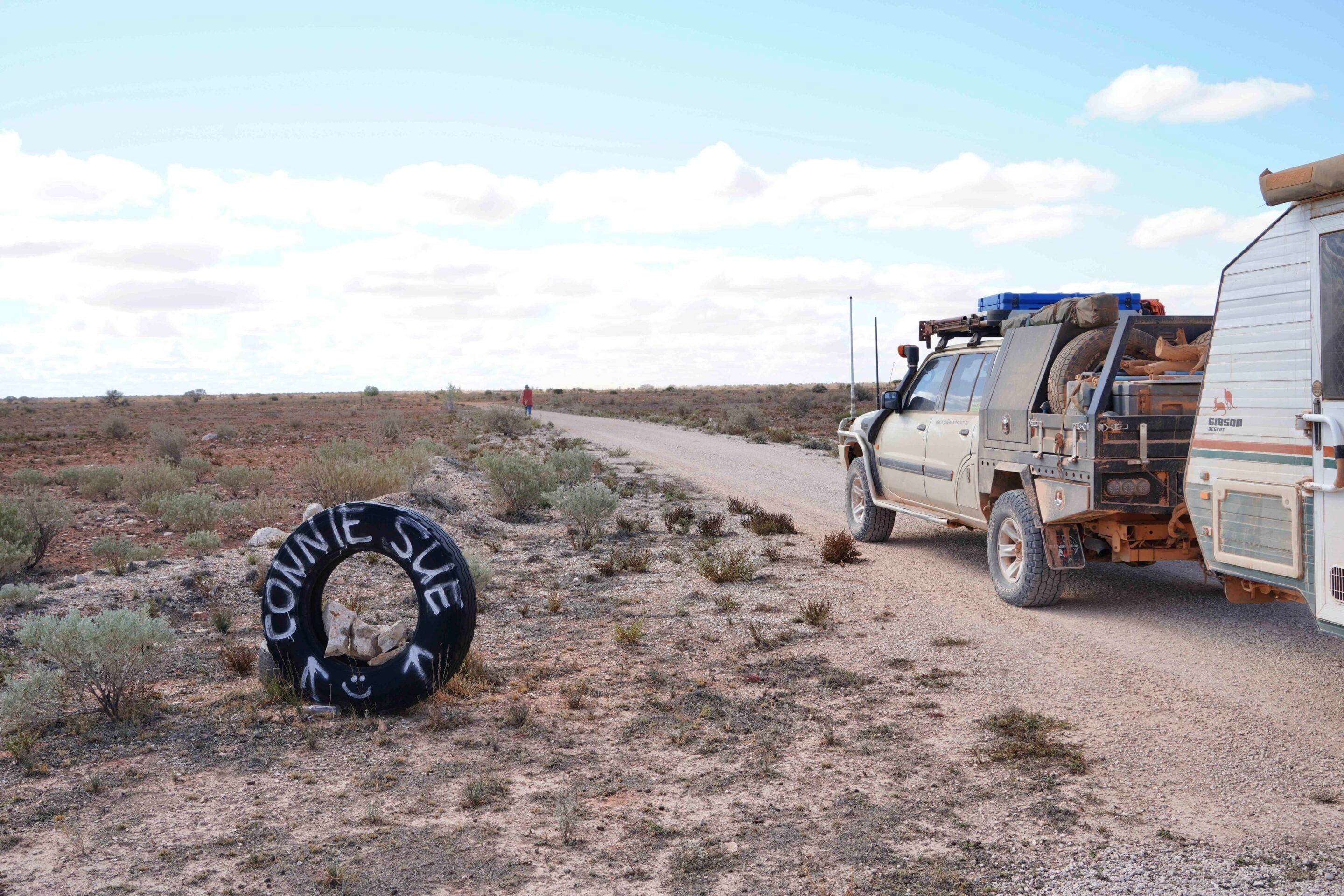
Connie Sue Highway
This is a fabulous drive through remote desert country.
But sadly many of the highlights that lay some distance off the road, and had previously been open for travellers to visit, have been closed by Aboriginal TOs in recent years. Still, there’s much to enjoy as you turn off the Great Central Road and head south to distant Rawlinna, or head north from the railway line.
In all, it is about 635km from Warburton to Rawlinna, but there is no fuel or services at Rawlinna, the closest being Cocklebiddy on the Eyre Highway, 160km south.
- Permits: Ngaanyatjarra Council (↗)
- Where to stop: Warburton Roadhouse (↗)
Gary Highway
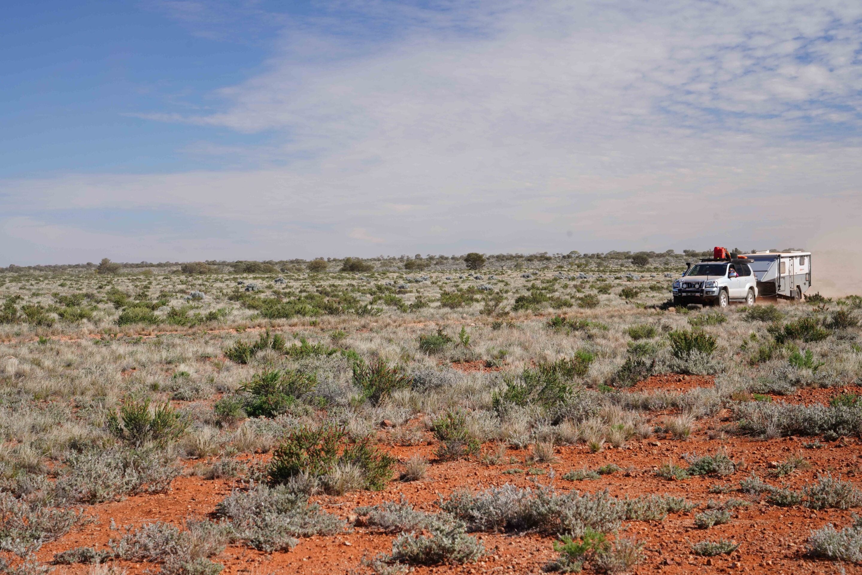
This north-south route begins at Everard Junction on the Gunbarrel Highway and meets the Gary Junction Road 355km north and east of Kunawaritji.
The closest places for fuel are Warburton and Carnegie HS in the south, and Kunawaritji in the north, which means you’ll travel more than 600km between fuel stops. The southern section of the route from Everard Junction to Windy Corner has been the most traversed in recent years. You’ll pass some burnt-out vehicles along the way from spinifex-induced fires and skirt along the edge of Lake Cohen, which is a great spot to camp at any time and is magical if it has water in it.
North of Windy Corner, the route is more overgrown for some sections of the track and has been flooded for long periods. Not sure what the latest cyclones have done to the route, but it was challenging a couple of years back. Veevers Meteorite Crater and McPhersons Pillar are worthwhile detours, but the track to Veevers is pretty overgrown these days from what I’ve heard.
- No permits are required for this route but you need them just to reach the start or end.
- Permits: Ngaanyatjarra Council (↗)
- Where to stop: Warburton Roadhouse (↗)
1
Gary Junction Road
This long-distance route, often called the Kintore-Kiwikurra Road, leads from the west coast north of Port Hedland to Central Australia and Alice Springs, and is a favoured drive of ours. In all, it covers some varied and delightful desert country, so take your time and enjoy the route.
From Marble Bar, inland from Port Hedland, to Alice Springs it is around 1700km, depending on which way you go between Alice and the Aboriginal community of Papunya. In all, there is about 1500km of unsealed road, varying from smooth and sandy to badly corrugated, especially east and west of Papunya.
Our favourite camps are Well 33 just out of Kunawaritji, Jupiter Well, Mount Tietkens in the Buck Hills, Liebig Bore west of Mt Liebig and the Finke River at the 2-Mile, at the western end of the MacDonnell Ranges. There are a number of Len Beadell plaques along this route, as well as his burnt-out ration truck at Kiwikurra.
- Permits: Ngaanyatjarra Council (↗)
- Permits: Central Lands Council (↗)
- Fuel: Punmu Store (↗)
- Kunawaritji Store: (08) 9176 9040
- Kiwikurra Store: (08) 8956 4935
- Kintore Store: (08) 8956 8575
- Papunya Store: (08) 8956 8658
1
Sandy Blight Junction Rd
Probably my favourite road in the region, this route, constructed in 1960, heads south from the Gary Junction Road near Kintore to the Great Central Road near Docker River, some 230km west of Yulara. In all, it is about 350km from one end of the Sandy Blight Road to the other.
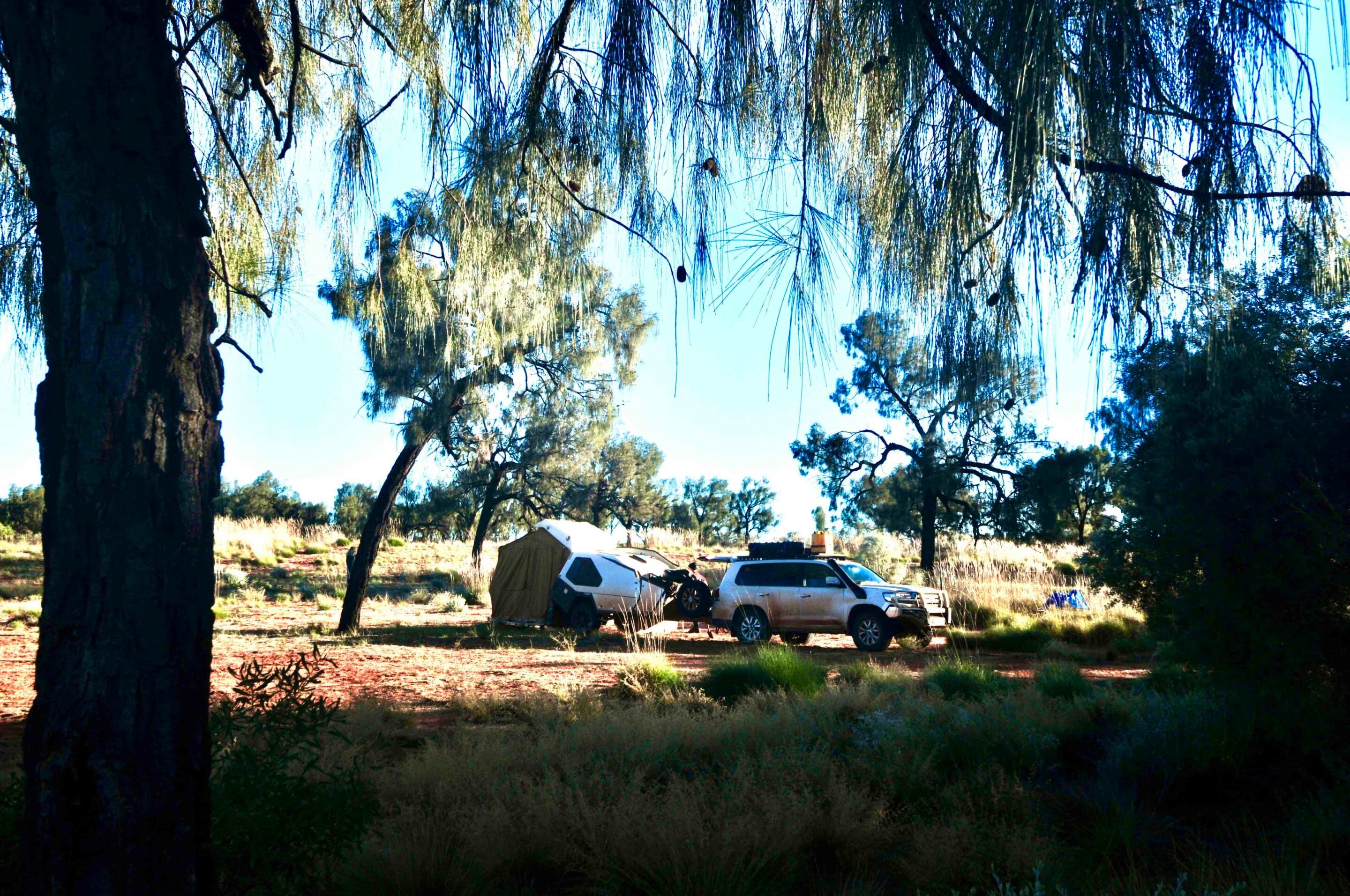
At the northern end, Mt Leisler dominates the scene and we love camping close to where the now-lost Tietken Tree once stood, with Mt Leisler rearing up close behind us. Heading south, there are a number of Len’s blazed trees and plaques to discover, while some of the stands of whispering desert oaks are pure magic to camp among.
A sidetrack to a high vantage point in the Sir Frederick Range is not to be missed. Further south again, a track to the west leads a short distance to Bungabidy Rockhole, tucked in among the rugged hills of the Walter James Range.
- Permit: Central Lands Council (↗)
- Kintore Store: (08) 8956 8575
- Docker River Store: (08) 8956 7368
Voakes Hill Road
Voakes Hill Road runs south for 275km from the Anne Beadell at Voakes Hill Junction to the railway town of Cook on the Trans-Australian Railway line. While the Voakes Hill Road drive itself is a relatively easy one, this is extremely remote country and the route is little used.
- Maralinga Tjarutja Lands & Mamungari Conservation Park: (08) 8625 2946; [email protected]
Callawa Track and Nyangumarta Highway
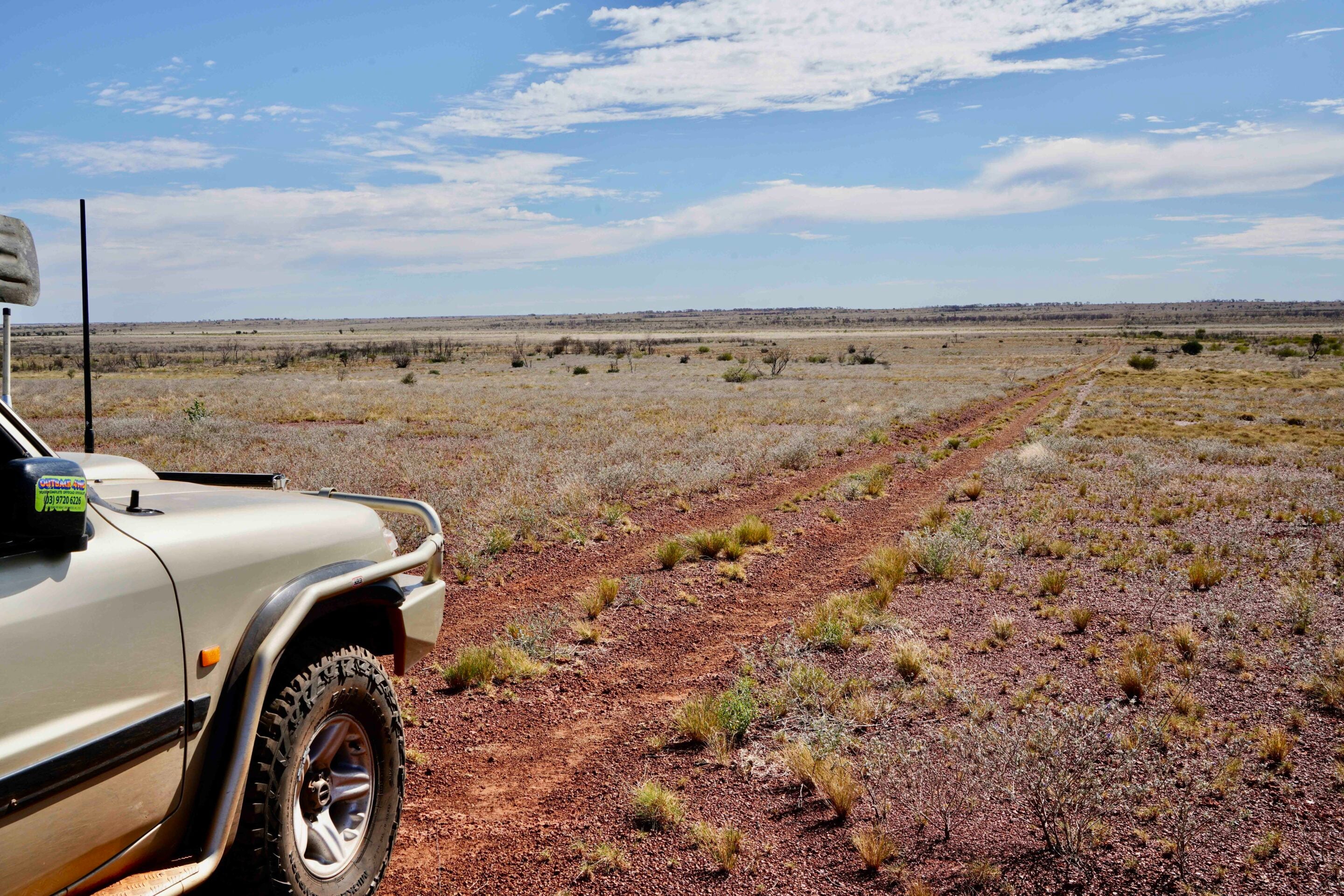
For all intents and purposes, the Wapet Road, come Kidson Track, now called the Nyangumarta Highway, has superseded the Callawa Track, which was first completed by Len and the GRCP in 1963.
The Callawa Track is no longer used and is overgrown. The Nyangumarta Highway, which has taken its place, runs from Kunawaritji to the Great Northern Highway just south of Sandfire Flat RH, a total distance of 650km. It is very remote country and little traversed.
- Permits: Nyangumarta Warrarn Council (↗)
- Permits: Ngaanyatjarra Council (↗)
- Kunawaritji Store: (08) 9176 9040
- Sandfire Flat RH: (08) 9176 5955.
- Map: Nyangumarta Highway (↗)
1
Maralinga A-bomb site
No wandering on the Beadell Roads is complete without a visit to Maralinga, where seven A-bombs were detonated along with a heap of lesser nuclear trials between 1957 and 1963.
Len had selected the site for the tests at Maralinga in 1953 and the road from Emu to the new bomb site was built in 1955. Sadly, this road has been closed to travellers for many years. However, today you can join a tour and camp at Maralinga village before taking a tour to the bomb sites. It might sound expensive, but it is well worth it.
- Visit: Maralinga Tours (↗)
Great Central Road: the modern route across central Australia
Using sections of the original Gunbarrel Highway, this now-major route links Yulara and Central Australia to Laverton and the Goldfields region of WA.
All told, it is 1130km from Yulara to Laverton on what is generally a well-maintained unsealed road that is slowly but surely being covered in bitumen. Make sure you enjoy the drive along the southern edge of the Schwerin Mural Crescent, east of Warakurna, which we think is some of the finest desert country in Australia. Warakurna itself is worth an overnight stop, with Len’s grader housed nearby, while each morning the nearby Giles Weather Station releases a high-altitude weather balloon that is worth viewing.
While you mightn’t travel the whole route of the Great Central Road, you’ll probably end up doing sections of it depending on what other, more adventurous route you are going to drive. Remember, you do need permits for this road, but they are generally automatically issued once you apply.
- Permits: Ngaanyatjarra Council (for the WA side) (↗)
- Permits: Central Lands Council (for the NT side) (↗)
- Yulara Caravan Park: 1300 134 044
- Warakurna Roadhouse: (08) 8956 7344
- Warburton Roadhouse: warburtonroadhouse.com.au
- Tjukayirla Roadhouse: (08) 9037 1108
*The Mt Davies Road, which once ran from the Gunbarrel Highway to Surveyor Generals Corner, is badly overgrown and permits to use it are impossible to obtain.
MORE
WA travel yarns!
Follow 4X4 Australia on Google
Get more 4x4 news, reviews and gear stories from 4X4 Australia in your Google feeds.


We recommend
-
 Explore WA
Top five off-road adventures near Newman in the Pilbara
Newman is the gateway to some of the Pilbara’s most rewarding and least-known off-road experiences
-
 Explore WA
Top 5 campsites on the Northern Canning Stock Route in Western Australia
We reveal the top five campsites along the northern section of the Canning Stock Route
-
 Explore WA
Discover the Holland Track: WA’s historic goldfields adventure
Journey along WA’s iconic 500km Holland Track, following John Holland’s original route