Explore

Gallery 1
The blacktop evaporated into a cloud of diesel smoke just past the shadow of Kata Tjuta.
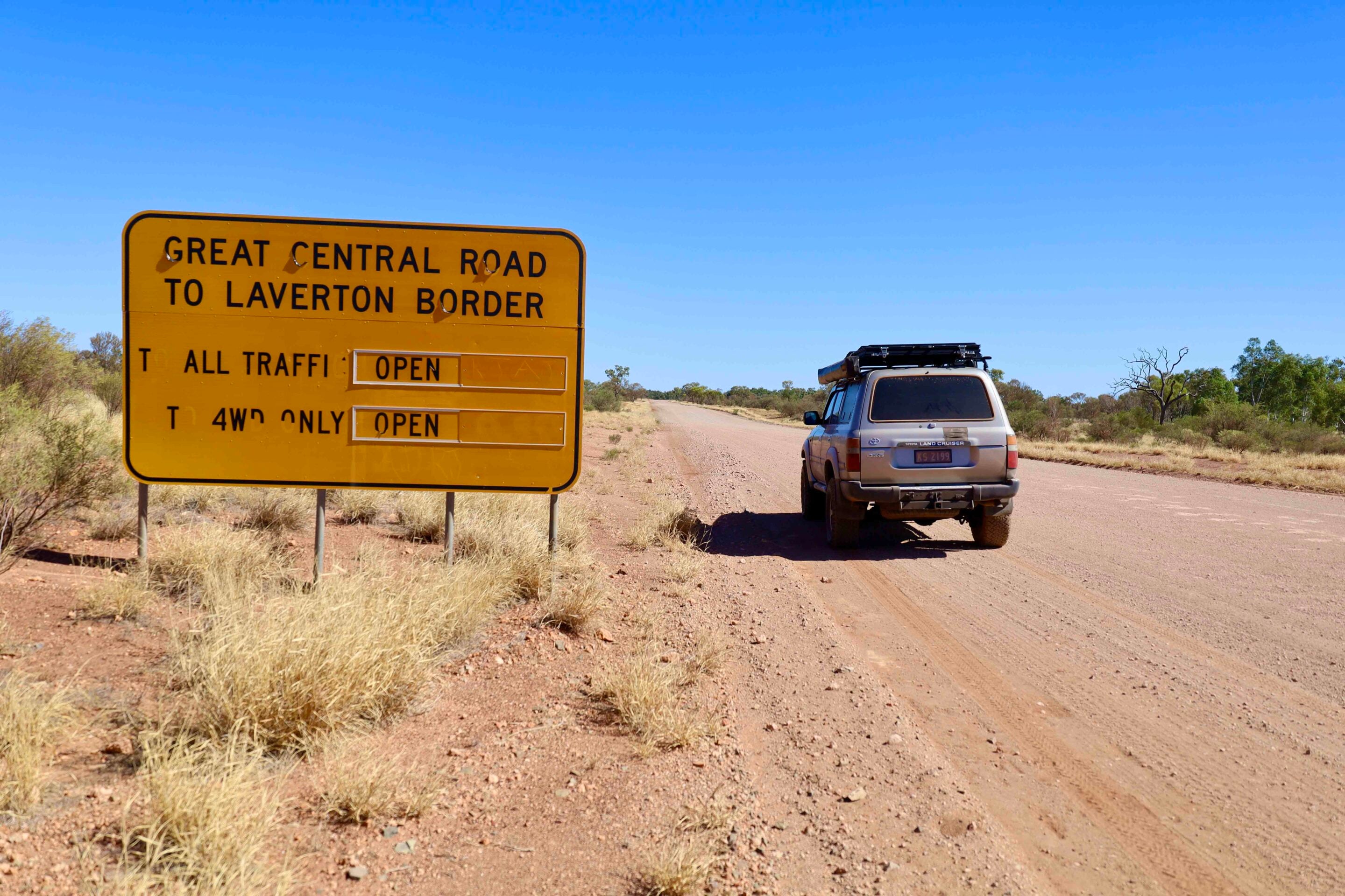
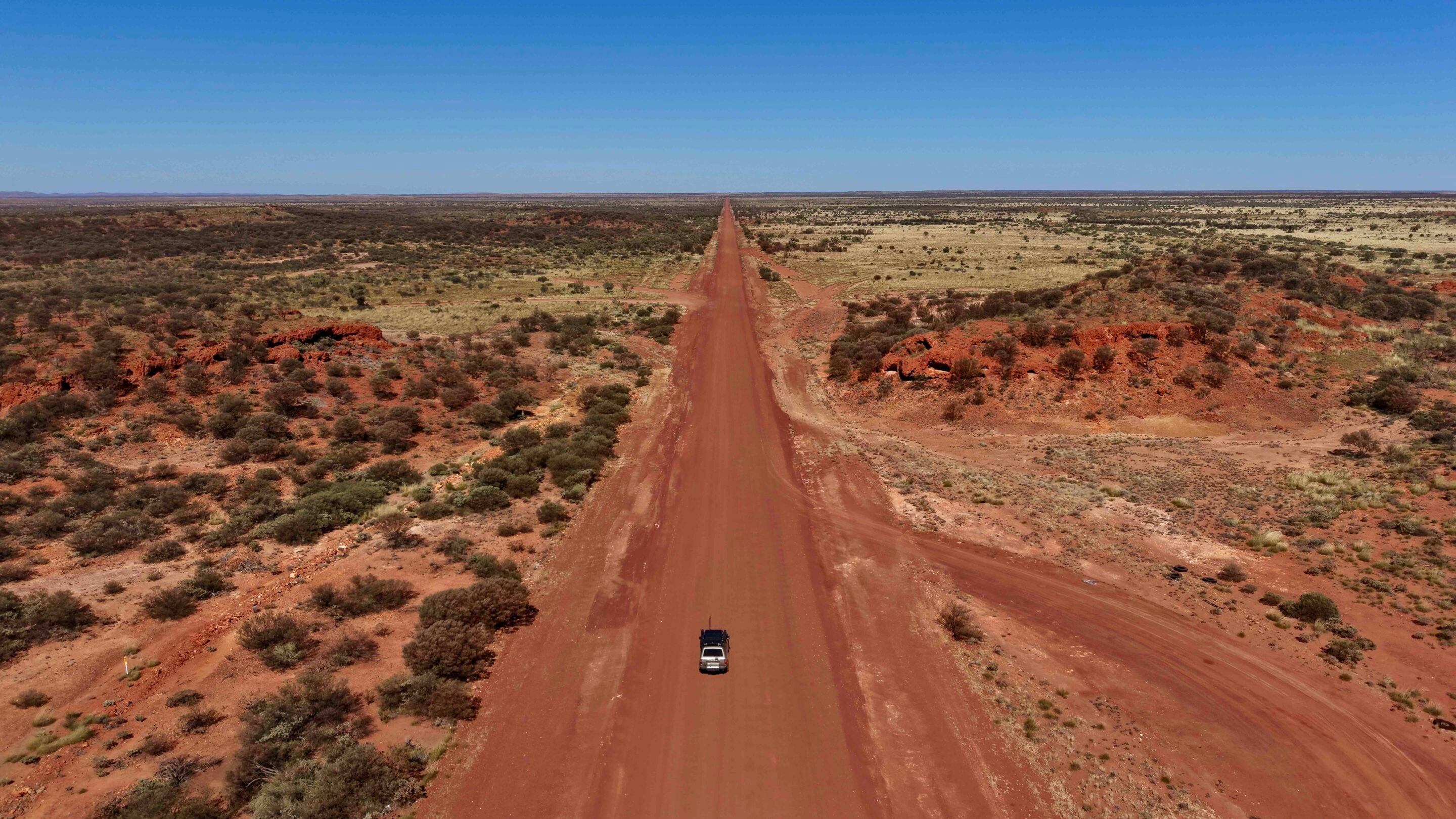
Behind me, the gargantuan sandstone domes of the Red Centre glowed like embers in the early morning light. Ahead lay the Great Central Road, an 1100km artery of corrugated red dirt, shifting sand and ancient stone that cuts through the very heart of the Australian wilderness.
To travel from Uluru west to Laverton is to reverse the classic pioneer route, stepping deliberately backwards through time, away from modern infrastructure and into the raw, unvarnished interior of the continent. In reality, there are only two sealed roads into Western Australia: through the Kimberley region and down south across the Nullarbor. These are the most popular routes for the majority of travellers. In a few years there will be two more, but there are other options for those keen to tackle a bigger adventure.
The Great Central Road cuts a path from Yulara, in Australia’s Red Centre, into WA, but it is essentially part of a bigger drive known as Australia’s Longest Shortcut, where the route extends all the way to Winton in central Queensland. An essential part of the trip is applying for two travel permits, one for each state, to pass through Aboriginal lands.
1
From Uluru to the WA border
After fuelling up at Yulara, my 4×4 was heavy with the necessities of desert survival: 200 litres of diesel, 80 litres of fresh water, plenty of food and an emergency device.
After passing through the Uluru checkpoint and explaining I was heading along the Great Central Road, I was waved on my way. I haven’t viewed the huge monolith for about 20 years, and it still blows me away. Up the road, I swung left away from Kata Tjuta (The Olgas) and headed along Tjukaruru Road to the WA border. It’s a good run to the Docker River turnoff and out to the border.
As the horizon flattened out, the jagged spine of the Petermann Ranges rose to flank the northern side of the road. These ancient hills, weathered by hundreds of millions of years of wind and rain, appeared as walls of deep purple and crimson against the brilliant blue sky. It was beneath these ridges that I encountered the first major community and my first profound taste of outback history: Docker River, known locally as Kaltukatjara. This region is deeply tied to one of Australia’s most enduring and tragic colonial myths, the legend of Lasseter’s Reef.
1
In 1929, amid the desperation of the Great Depression, a man named Harold Bell Lasseter claimed that, decades earlier, he had discovered a fabulously wealthy reef of gold in the dead centre of Australia – three miles long and rich beyond belief. His claims sparked a well-funded, high-tech expedition in 1930, equipped with trucks and an aeroplane, and led by experienced bushmen. The expedition fractured under the weight of mechanical failures, erratic leadership and the brutal summer heat. The party turned back, but Lasseter pressed on alone into the Petermann Ranges with two camels, obsessed with relocating his golden reef.
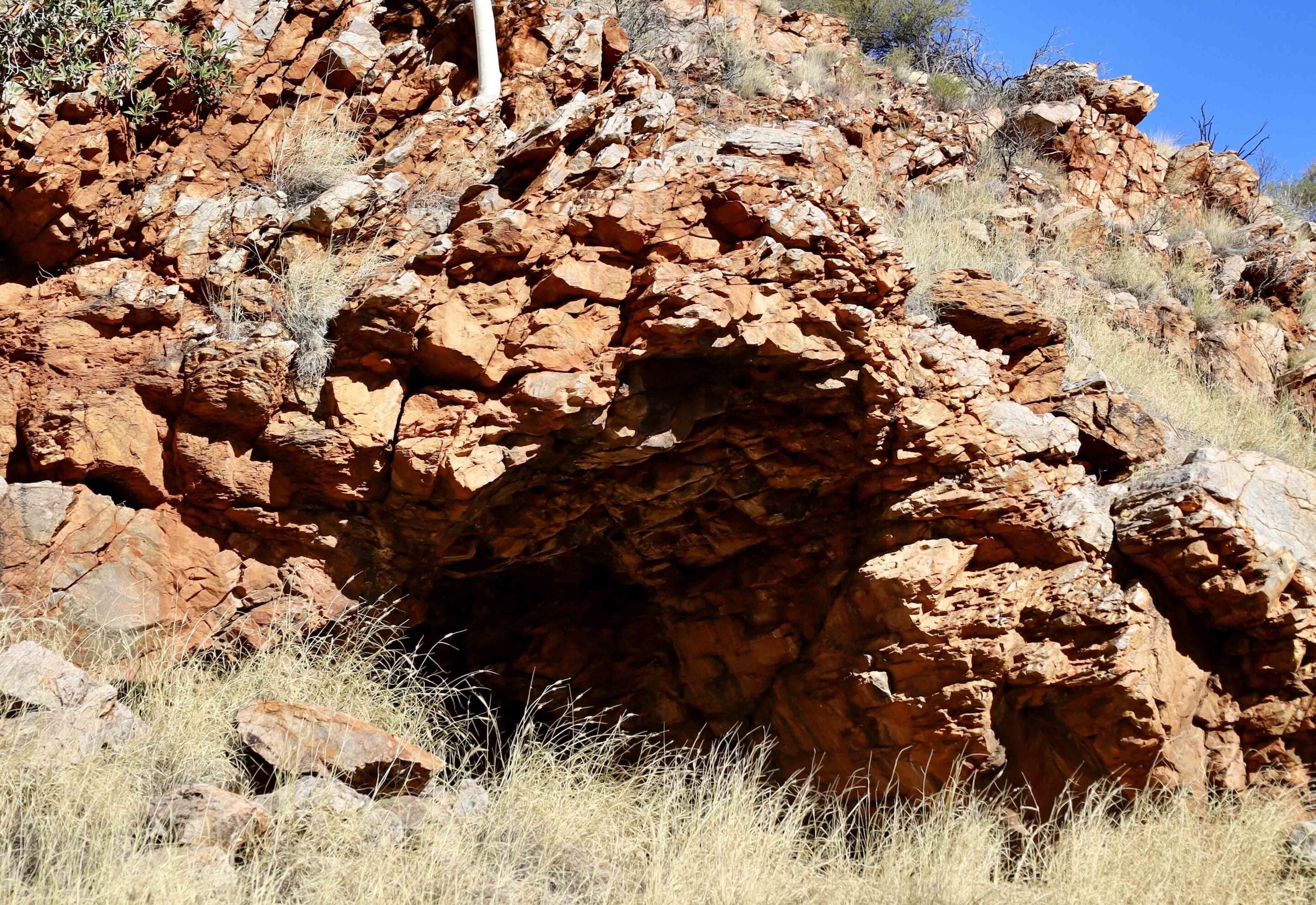
East of Docker River, I pulled off the track to visit Lasseter’s Cave. A short, dusty walking track led to a small rocky recess carved into the banks of the Hull River. It was here, in the searing heat of January 1931, that Lasseter took refuge after his camels bolted, leaving him stranded without food or water. He survived in this cave for 26 agonising days, charting his mythical gold reef in his diary while slowly starving to death. Standing inside the cool, claustrophobic confines of the cave, looking out at the harsh landscape, the romantic myth of the outback evaporated, replaced by terrifying reality.
Lasseter was ultimately aided by the local Anangu people, who brought him food and water, but in his paranoia and deteriorating mental state, he refused their help and attempted to walk towards the Alice Springs telegraph line. He made it only a few kilometres before collapsing. His body was found months later by bushman Bob Buck, but the location of the legendary gold reef died with him, remaining a phantom that still lures hopeful prospectors into the desert today.
1
Lasseter’s Cave and the first corrugations
What surprised me was that there were no welcome-to-WA signs, no pleasantries; it was just where the tar ended and the corrugations started.
After dropping my tyre pressures, the physical reality of the track asserted itself within the first hour. Heavy corrugations started – rhythmic, bone-jarring ridges carved into the dirt by hundreds of heavy off-road vehicles and recent weather events – vibrating through my steering column and waking me up.
It was all about finding the sweet spot, that precise speed where the suspension begins to skim across the tops of the ridges rather than crashing into the troughs. It was a mechanical dance of maintaining momentum while scanning the road for sudden washouts, exposed ironstone rocks and unpredictable sand drifts.
1
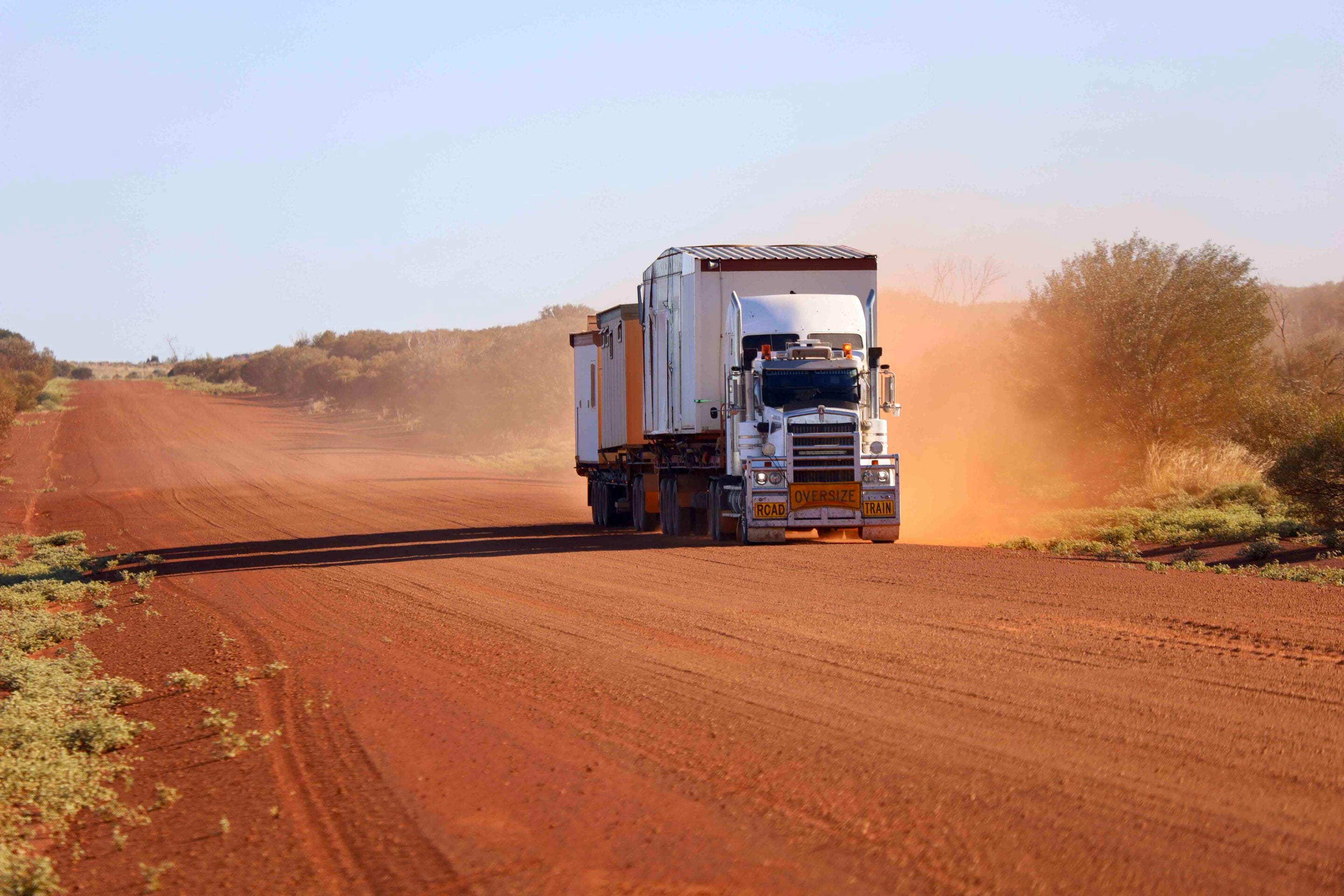
Driving this road requires a psychological shift. The road is not a means to an end; it is a living entity that changes with every passing road train and weather event. Surprisingly, the road improved the further I ventured into WA, with road crews chipping away at upgrades.
The scenery shifted dramatically as I entered the Gibson Desert, a landscape dominated by the iconic desert oak. These remarkable trees grow in pure sand, their deep root systems tapping into water tables far below the surface. Young desert oaks resemble narrow, furry spears, conserving water until they mature into massive, weeping giants that hiss softly as the hot desert wind passes through their needles.
Giles, Warakurna and the Gunbarrel Highway
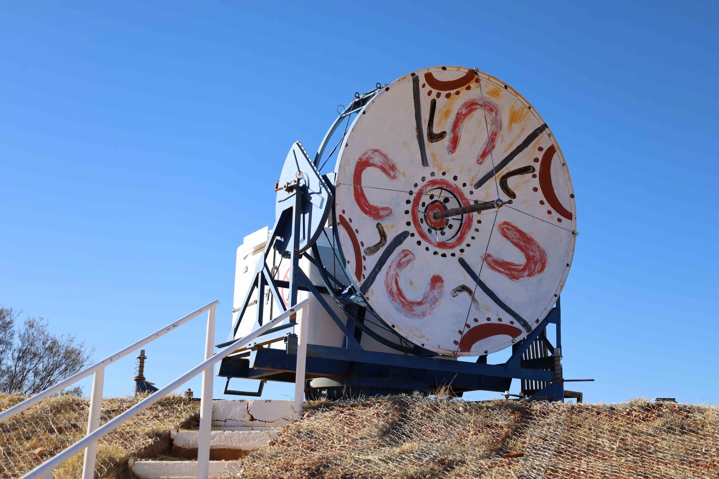
My next stop, and first camp, was at Warakurna Roadhouse and nearby Giles Weather Station, a remote outpost that feels like a space station dropped into the red dust.
Established in 1956, Giles is the most remote operational weather station in the Southern Hemisphere, staffed by a handful of hardy meteorologists who release a massive weather balloon into the upper atmosphere every day.
Giles exists because of the Cold War and a man named Len Beadell. In the 1940s and ’50s, the British and Australian governments required a vast, unpopulated area to test rockets and nuclear weapons. The Long Range Weapons Establishment was set up at Woomera, and weapons were tested at Emu Field and Maralinga. To track the trajectories of these rockets and forecast the dangerous wind patterns that would carry radioactive fallout, the government needed weather data from the deep interior of the Western Desert.
1
Enter Len Beadell, bushman, surveyor and leader of the Gunbarrel Road Construction Party. Armed with little more than an astronomical theodolite for navigation, a heavy bulldozer and a small crew of men driving a single grader, Beadell spent the 1950s and ’60s opening up more than 6000km of roads through entirely uncharted desert country.
The Great Central Road uses significant portions of the tracks Beadell originally blazed, including parts of the famous Gunbarrel Highway. Just outside the Giles Visitor Centre stands Beadell’s original, rusted Caterpillar grader. Its metal is pitted by decades of sandstorms; a silent monument to the sheer physical grit of the men who built these roads. Beadell famously navigated by the stars, driving his Land Rover through virgin bush, smashing through mulga scrub and sand dunes to lay down a straight line, which his grader driver would then follow.
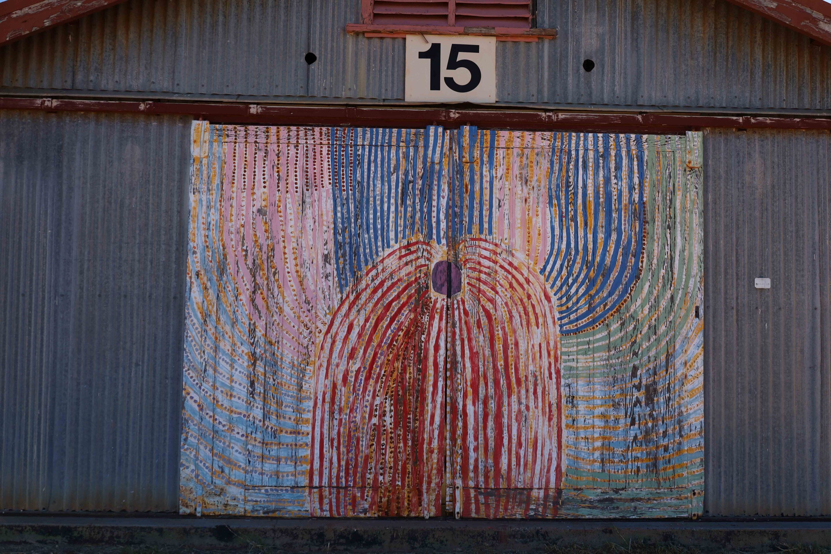
At the roadhouse is a selection of art from the nearby Warakurna community and Ngaanyatjarra people. The artwork is vibrant, chaotic and intensely detailed. Using modern acrylic paints on canvas, the artists depict their ancestral lands, waterholes and epic journeys of creation ancestors such as the Seven Sisters and the Kingfisher Man.
To the untrained eye, the Gibson and Great Victoria deserts look empty, almost dead. But to the Ngaanyatjarra people, every sand dune, every outcrop of ironstone and every dry creek bed is crowded with meaning, history and law. The paintings are functional maps. They show where hidden rock holes are under the clay, which plants are in season and how to navigate across hundreds of kilometres of waterless terrain.
1
West from Warakurna: Into the Great Central Road’s remote heart
Leaving Warakurna, the road heads into its most isolated phase. For hundreds of kilometres, the horizon is an unbroken circle, a flawless boundary where the sky meets the blood-red earth.
I was hoping in this section I would see some of the estimated one million feral camels that roam through here, but I saw none. Not one. Introduced to Australia in the 19th century for exploration and construction, camels now thrive in the desert long after they were released.
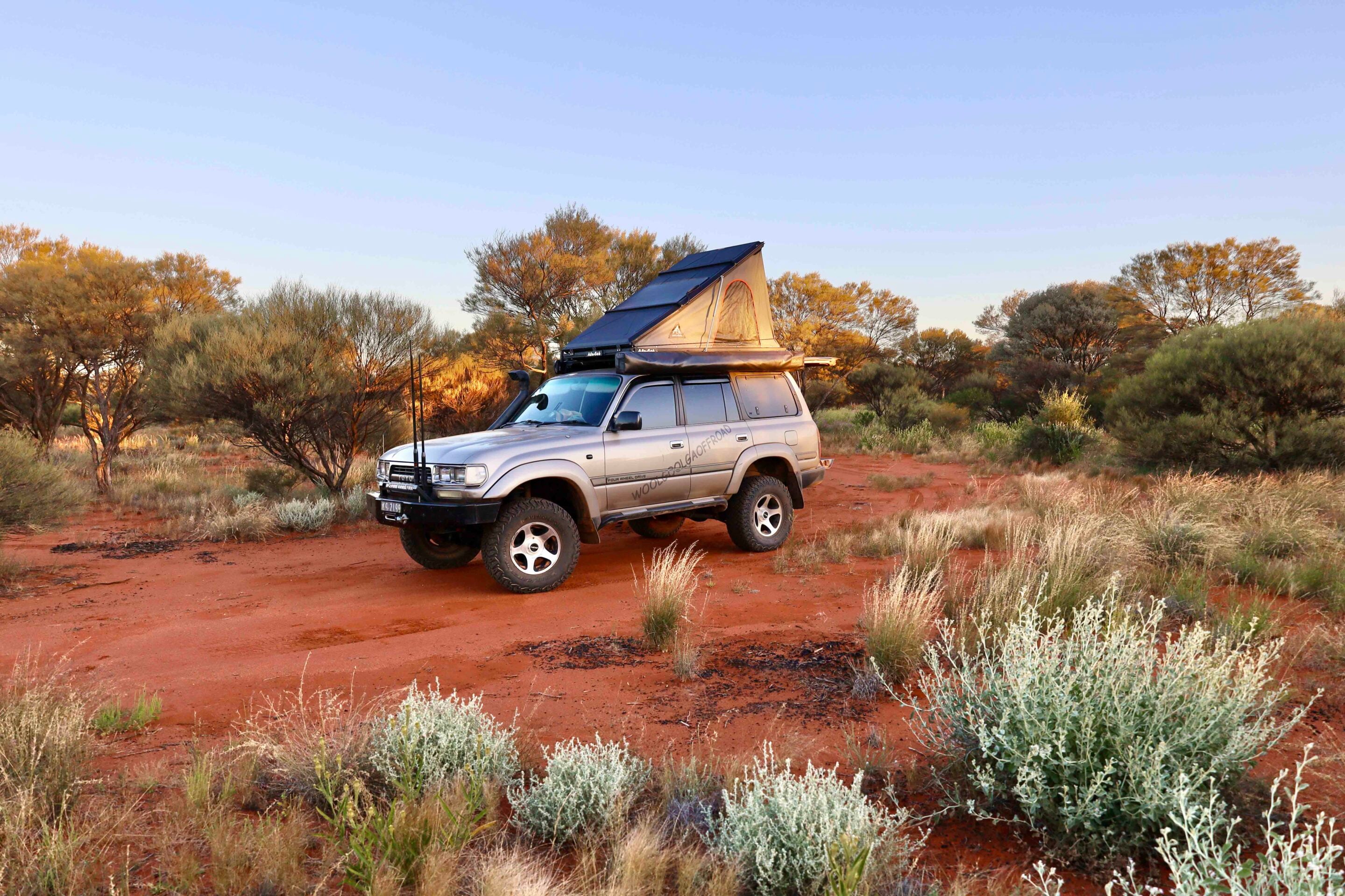
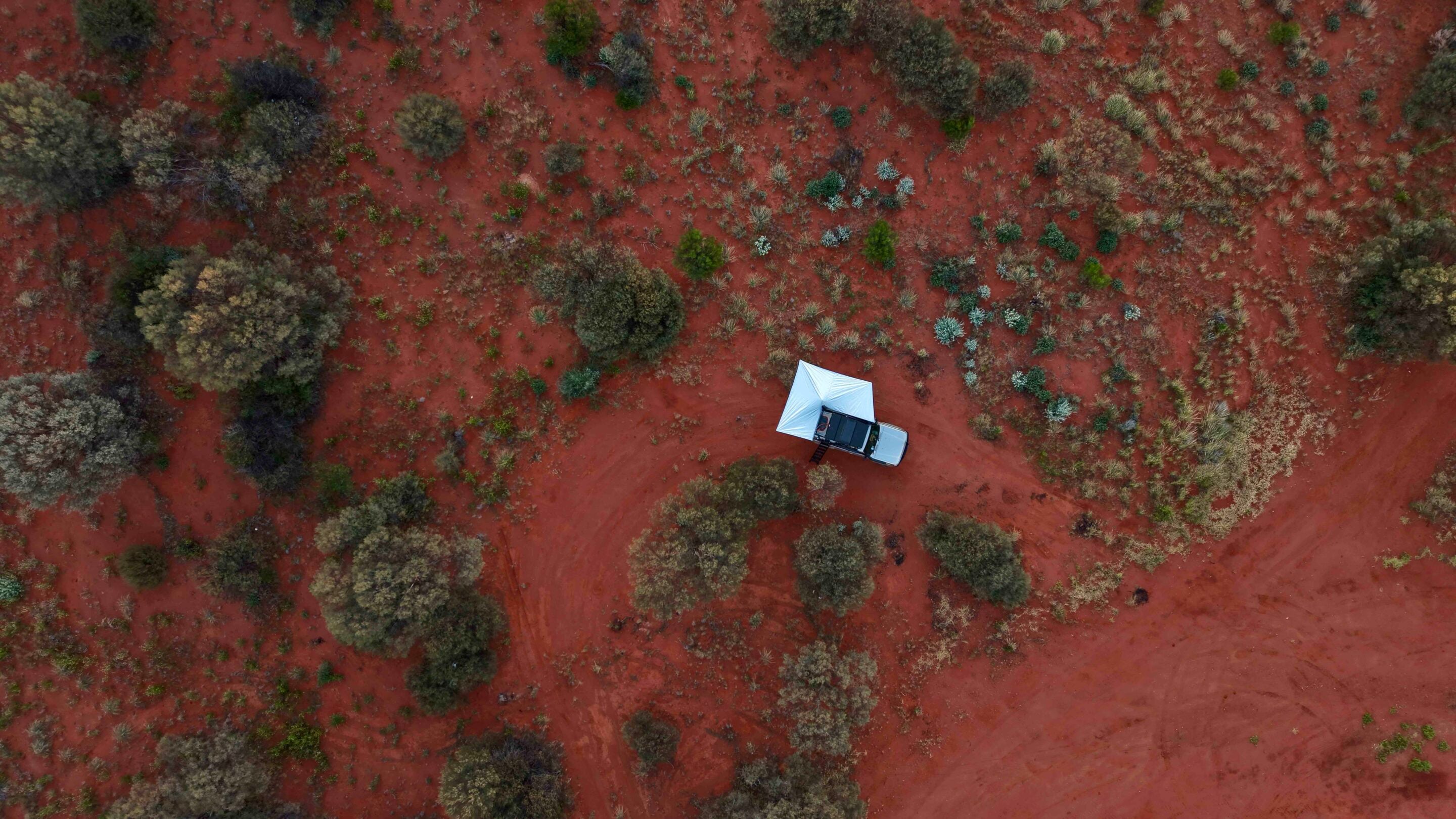
A couple of hours later, I pulled into the carpark of Warburton Roadhouse for a top-up of food and coffee. There are accommodation options out the back, but I wanted to push on and find a free camp further along. As the afternoon light began to cast long shadows, I pulled off the track into a designated bush-camping area. Camping in the deep desert is an exercise in absolute stillness. Once the vehicle’s engine is switched off, the silence rushes back in, heavy and physical.
As the last shades of orange and violet light disappear from the sky, the desert night reveals its greatest masterpiece. Away from the light pollution of any town, the southern night sky comes alive, with the Milky Way stretching from horizon to horizon, not as a faint smear of white but as a brilliant, swirling river of stars and cosmic dust.
1
Warburton to Laverton: Through the breakaways
The final 550km stretch from Warburton to Laverton sees the landscape begin to buckle and break, where the flat sand dunes of the Great Victoria Desert gradually give way to the spectacular breakaway country of the Northern Goldfields.
These are flat-topped mesas and hills where the ancient plateau has eroded away, leaving stark white clay cliffs capped with dark red ironstone. As I pressed south-west, the vegetation transformed again. The spinifex receded, replaced by dense, sprawling woodlands of mulga. The soil changed from the bright, neon red of the central deserts to a deeper, richer chocolate-brown clay, signalling my entry into the historic Western Australian Goldfields.
1
Laverton: The Great Central Road meets the blacktop
Late on the third afternoon, the horizon presented something I hadn’t seen in more than 1000km: a perfectly straight, black line cutting across the red earth. Bitumen.
I rolled onto the sealed highway just outside the historic mining town of Laverton. The immediate effect was unsettling. The violent rattling, the constant vibration and the roar of the tyres against the gravel suddenly ceased, replaced by a smooth, ghostly silence. After stopping to re-inflate the tyres, the steering wheel sat perfectly still in my hands. It felt as though I was floating, disconnected from the earth I had been fighting and respecting for the past three days.
Pulling into Laverton outside the Great Desert Explorer Centre, my 4×4 was now completely at ease, with no corrugations or dust to contend with. Laverton is steeped in gold-rush history, a town born in 1899 during the frantic rush for fortune. It was the launching pad for countless explorers who looked eastward into the great empty space on the map and dared to walk into it.
The Great Central Road from Uluru to Laverton is far more than a geographical shortcut across the Australian continent; it’s like a time machine. Once you step off the bitumen, you leave behind the hurried pace of modern life and enter a realm where history is written in layers of red dust, the scars of Len Beadell’s grader, the tragic journals of Harold Lasseter and the eternal living stories of the Ngaanyatjarra people.
It’s a journey that tests your vehicle, stretches your self-reliance and ultimately leaves an indelible, bright-red stain on your soul long after the dust has been washed from your clothes. Do it before it gets sealed.
1
FAQs
Where is the Great Central Road?
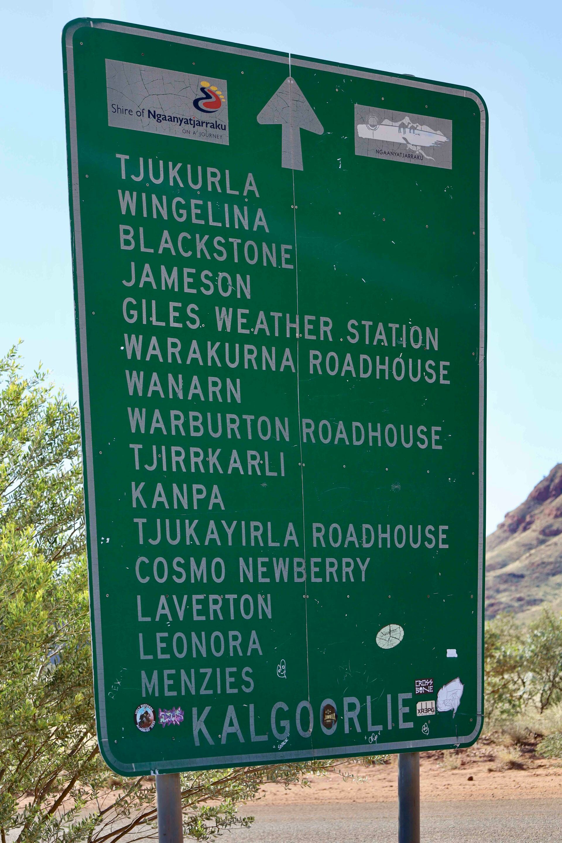
The Great Central Road is a remote, mostly unsealed outback highway that spans more than 1100km across the interior of Australia, connecting Laverton in Western Australia to Yulara in the Northern Territory.
It forms part of the massive 2700km highway system known as Australia’s Longest Shortcut, which cuts straight through the Red Centre all the way to Winton, Queensland. Once the road crosses the NT border heading east, it is officially called Tjukaruru Road before ending near Kata Tjuta and Uluru. While vast stretches remain red dirt, governments are actively funding infrastructure upgrades with the goal of having the entire route fully sealed by 2030.
A 4×4 is highly recommended due to corrugations, sand patches and loose gravel along the way. The road is doable in most 4x4s and semi-off-road caravans. Lower your tyre pressures and respect the road.
What is there to see and do along the Great Central Road?
Along the way, you can explore historic Lasseter’s Cave, watch the daily weather balloon release at Giles Weather Station and visit the Len Beadell museum.
Free camp under a canopy of brilliant desert stars, and be sure to stop at remote roadhouses such as Warakurna and Tjukayirla to refuel, grab a feed and browse incredible local Aboriginal art galleries.
The ultimate reward at the eastern end is the spectacular sandstone domes of Kata Tjuta (The Olgas) and the majestic monolith of Uluru; to the west, it’s the historic town of Laverton in WA.
Do I need a permit to drive the Great Central Road?
You cannot legally drive this road without transit permits because it passes through private Aboriginal reserves, and you must apply for two free transit permits online.
If you are a visitor travelling the Great Central Road, you are not permitted to enter any of the communities. The permits give you three days and two nights of travel to complete the Great Central Road journey.
Only people providing essential services are permitted to enter communities; there are no exceptions. Both permits can be obtained online (↗) and are issued almost instantly.
How far apart are fuel stops on the Great Central Road?
Fuel along the Great Central Road is available at roadhouses roughly 250-300km apart. Standard unleaded petrol is not sold; only Opal fuel and diesel are available, and expect to pay significantly more through this remote area.
Where can I get food and supplies?
Tjukayirla Roadhouse (↗), Warburton (↗) and Warakurna Roadhouse (↗) offer hot food, small shopping supplies and camping.
Is there phone service on the Great Central Road?
Telstra phone service is available near the roadhouses and as you pass the remote communities.
MORE
NT travel yarns!
Follow 4X4 Australia on Google
Get more 4x4 news, reviews and gear stories from 4X4 Australia in your Google feeds.


We recommend
-
 Explore NT
Daly Waters Hotel: an iconic stop on the Stuart Highway
Turn off the Stuart Highway and you’ll find more than cold beer and the famous Beef and Barra Feast. Daly Waters Hotel is an outback institution where history, characters and good times meet
-
 Explore NT
Keep River National Park: The Kimberley stop too many travellers miss
Thousands of travellers pass Keep River National Park on their way to the Kimberley, but those who stop discover sandstone country, ancient culture and some of the Top End’s most underrated walks
-
 Explore QLD
Camooweal’s Post Office Hotel is one of Queensland’s great outback pubs
With a campdraft in town, Akubras at the bar and road trains rolling past the verandah, Camooweal’s Post Office Hotel is outback Australia distilled