Explore SA

Gallery 1
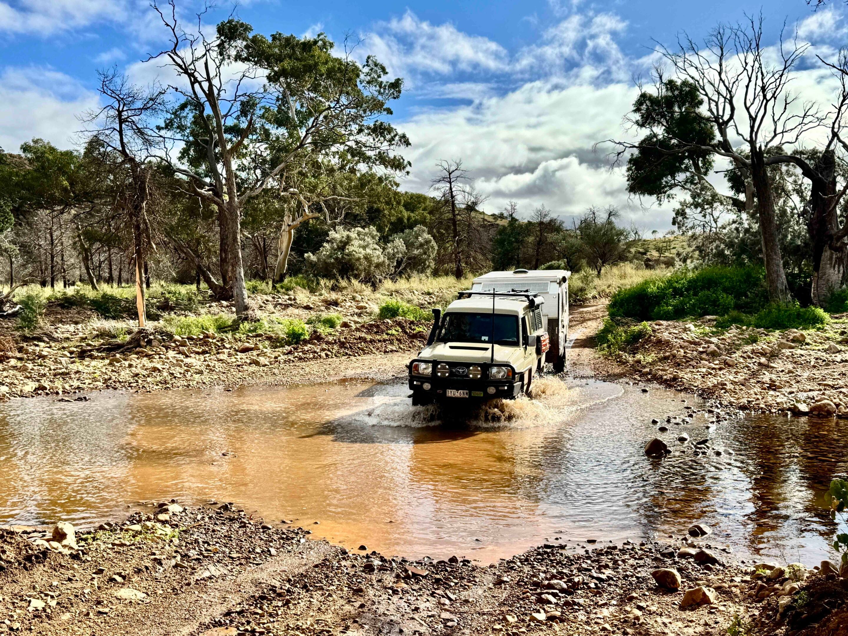
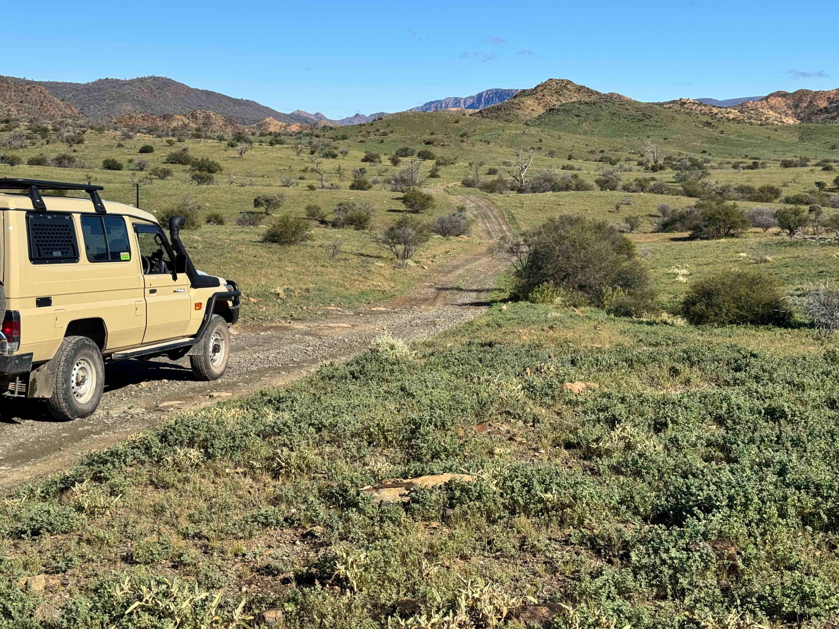
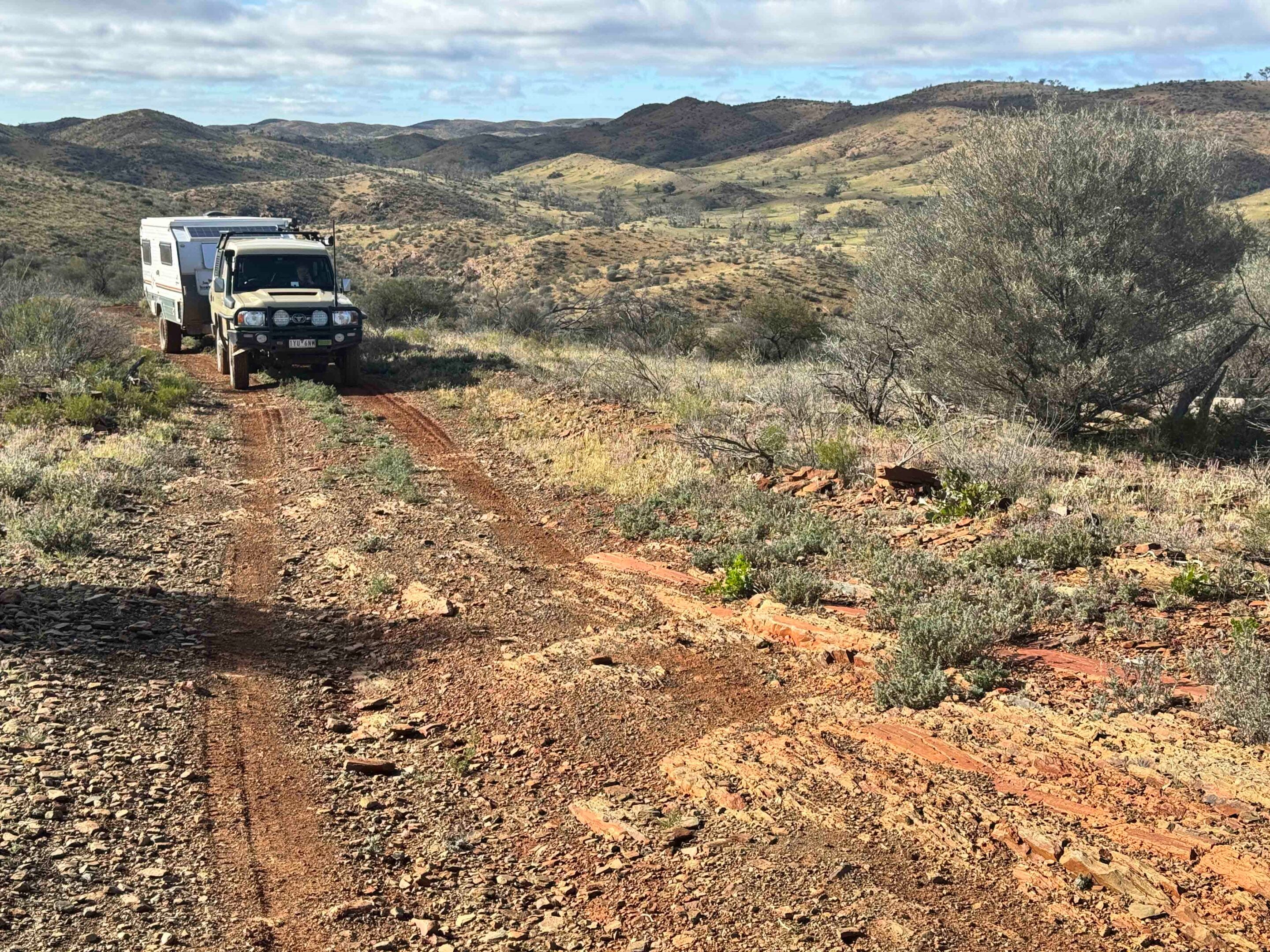
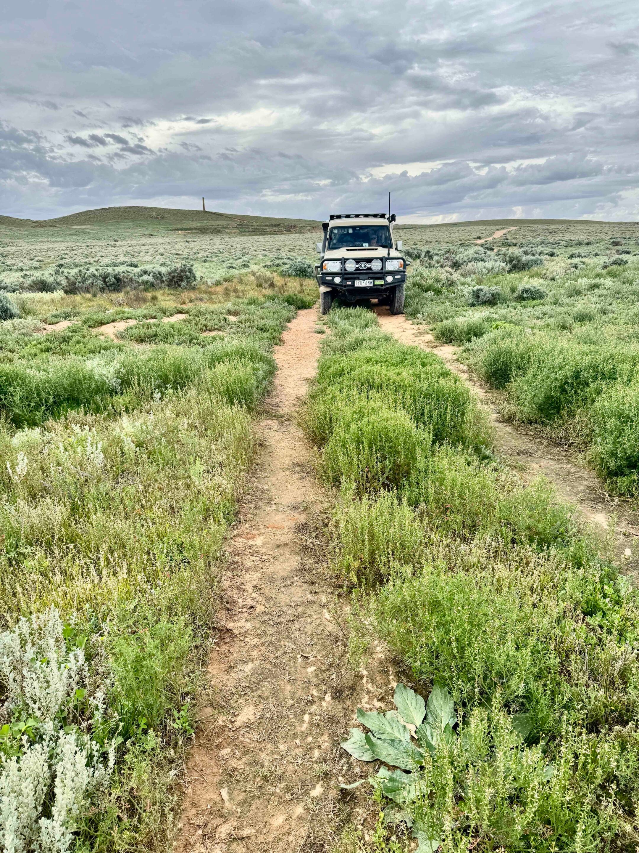
The track was rough and slow, cut by numerous small erosion channels, steep, short gullies and the occasional full-blown creek with washed-away banks and sloppy, gravelly beds.
Still, I only needed to slip back into first gear low-range a couple of times, while for the rest we cruised … well, bumped … along in low-range third or fourth. After crossing a wide, rocky creek bed lined with tall gums, our destination suddenly came into view as Grindells Hut appeared from behind a curtain of green.
Green! The country was actually verdurous, with the valley floors and lower slopes of the hills clothed in rich grass and herbage, while the trees along the creek had leaves that were virtually glowing with vitality. It was such a stark but delightful difference from when we were here five years or so ago, when the whole of northern South Australia and much of the inland was in a crippling, debilitating drought. Then, water was near impossible to find, while today nearly every creek had at least a trickle flowing down it.
Our unplanned journey to the northern Flinders had started a few days previously when we rolled into Broken Hill and found that many of the roads we wanted to take north of Tibooburra were closed due to the recent, somewhat incessant rain. We hung around for a day but, with no change in the road-closure outlook, headed down the blacktop to the small hamlet of Yunta, which today struggles on as not much more than a fuel outlet on the highway and a stepping-off point for the northern Flinders – our revised travel goal.
1
Outback trucking history at Yunta
One noticeable thing about Yunta, though, was the welcome sign and its tribute to one of the great pioneers of outback trucking, the legendary Harry Ding.
Beginning with a horse and cart in 1922, Harry bought a Model T Ford and started carrying people and supplies with it. In 1934, he moved his fledgling business to Yunta and, a year later, had trucks operating from Cockburn, Yunta and Olary, as well as Hawker and Lyndhurst. In 1936, he secured the fortnightly Marree-Birdsville mail contract, and one of his workers, Tom Kruse, initiated the challenging route, thereby ending the era of camel transport.
We know that route today as the Birdsville Track, although it’s so greatly improved from Harry’s day that it is almost impossible to compare. Business peaked for Harry in the early 1940s, with 20 trucks, nine mail runs and depots spread across northern SA. But he did much more for the outback before passing away in 1976.
1
At Yunta we turned north, the road soon turning to well-formed gravel as we came to Waukaringa, with the ruins of the old pub close to the road and the scattered remains of the gold mine that supported this small community a little further away. The main mining site is immediately obvious, with a tall stone chimney standing proud like a beacon beckoning us to explore, which we did.
Established in 1873, the site and nearby mines produced more than 1400kg of gold, worth about $270 million today, while the town peaked at more than 700 residents. The mine closed in the 1960s, while the town had shut up shop 10 years earlier. While mining occurred again in the 1980s and 1990s, it was a sporadic open-cut affair, and the remains of corrugated iron and plastic piping can, rather sadly, still be seen today.
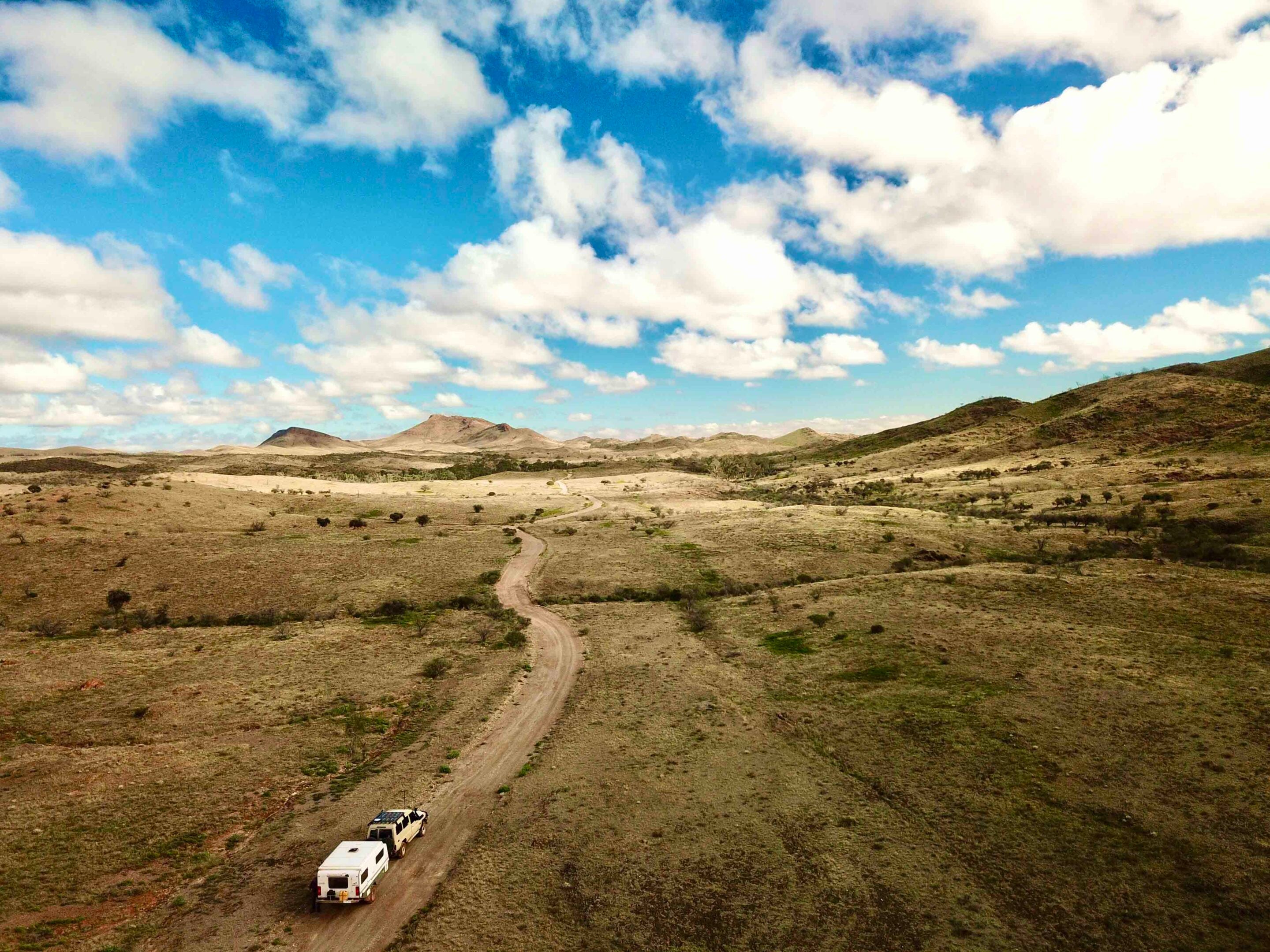
Pushing on, the plains became even flatter as we approached the southern edges of Lake Frome, invisible to our eyes because of that vast, flat saltbush expanse. With rain threatening, we crossed a barely dry Wilpena Creek and, not wanting to stop out on these flat, bog-inducing steppes, pushed on until the hills of the northern Flinders offered some respite and a chance to pull up for the night.
1
Exploring the Gammon Ranges
The next day saw us dropping into the old Balcanoona homestead, now the national park headquarters for the Vulkathunha-Gammon Ranges NP.
There are a few short walking trails emanating from here, as well as the old shearing shed and holding yards to check out before heading on. On the road to Arkaroola, a turn-off west heads into the park and wanders through the ranges, sticking mainly to the valley floors unless forced to cut through a narrow gap in the surrounding hills to yet another valley running towards our next destination.
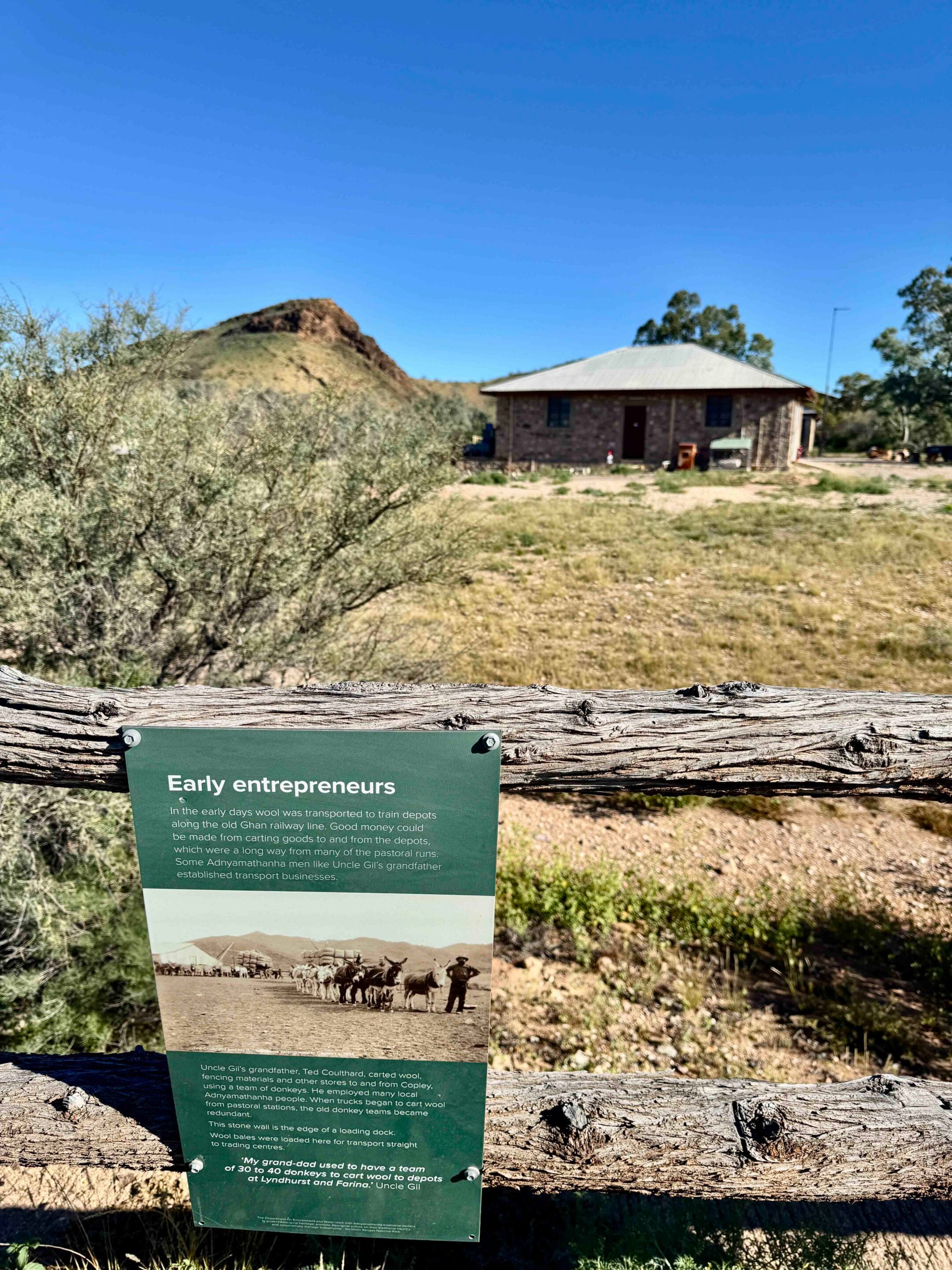
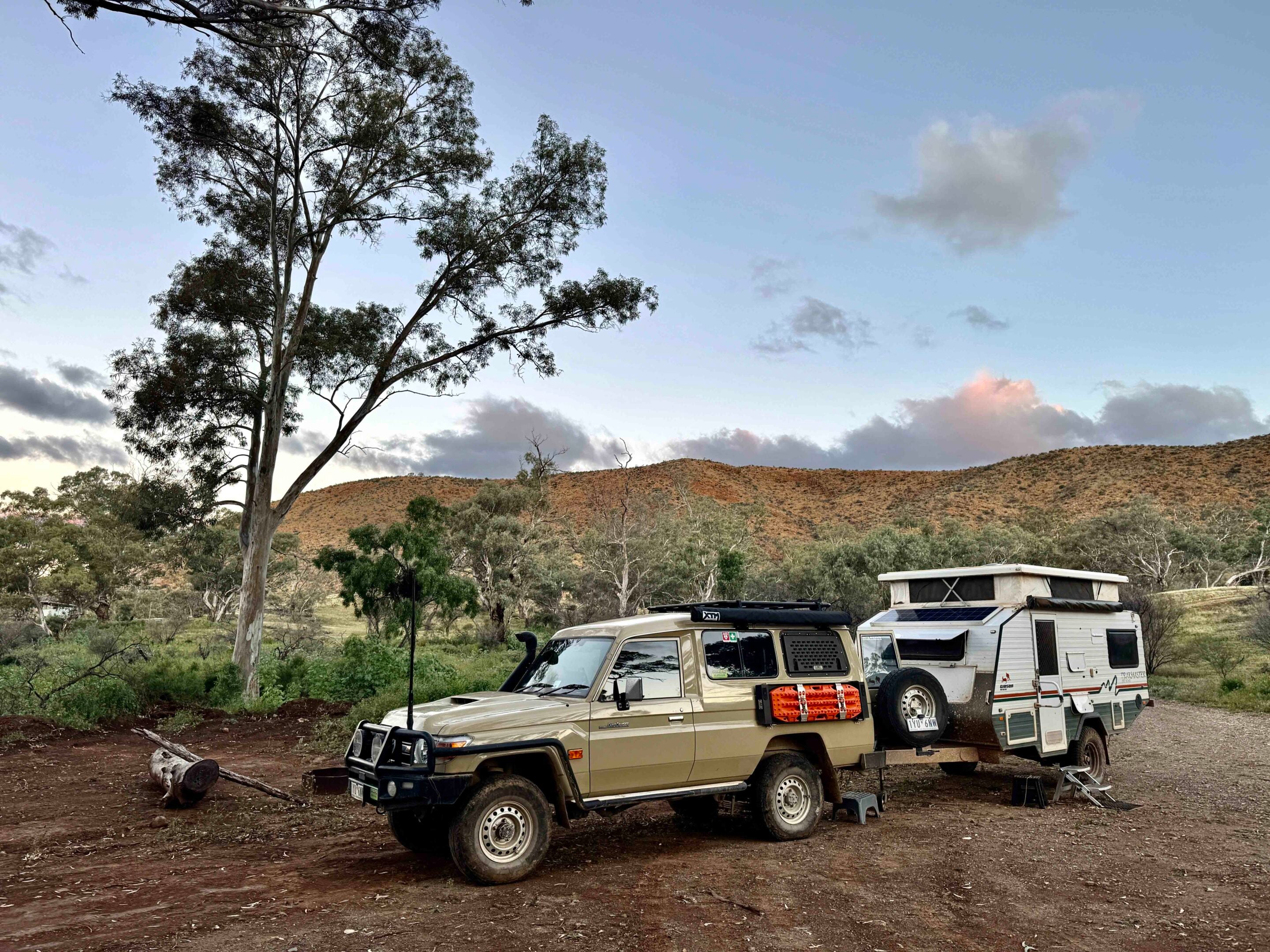
We set up camp on the edge of the creek below Grindells Hut, which is perched on a low hill in front of the main range. Today, the hut is the major focus for most visitors and offers basic accommodation if that is your bent. Its history, though, dates back to the late 19th century, when it was established by pioneer pastoralist John Grindell as a small cattle property.
1
The original one-room hut still stands behind the newer building that acts as the focal point for today’s visitors. In August 1918, the place took a sinister turn when Grindell murdered his son-in-law, George Windsor Snell. A plaque now marks the site where Snell’s remains were found, and the grim history of the place is a reminder of the remoteness and isolation that drove men to such atrocities back then.
With so much verdancy surrounding us, the bush was alive with the sounds of birds twittering and revelling in the bonanza that nature was offering. Rather strangely, though, we never saw a yellow-tailed rock wallaby like we did when it was dry and they came into our camp looking for food and water. Today, I guess, the natural bounty allows them to wander more freely away from any man-made water point.
1
Flood-damaged tracks and remote outstations
The next day we tore ourselves away from this pleasant camp.
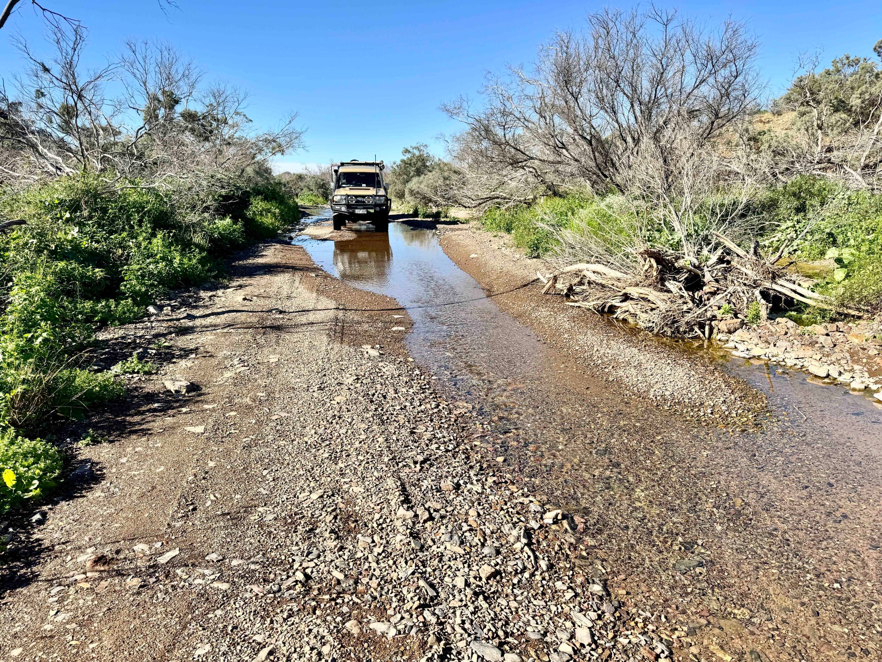
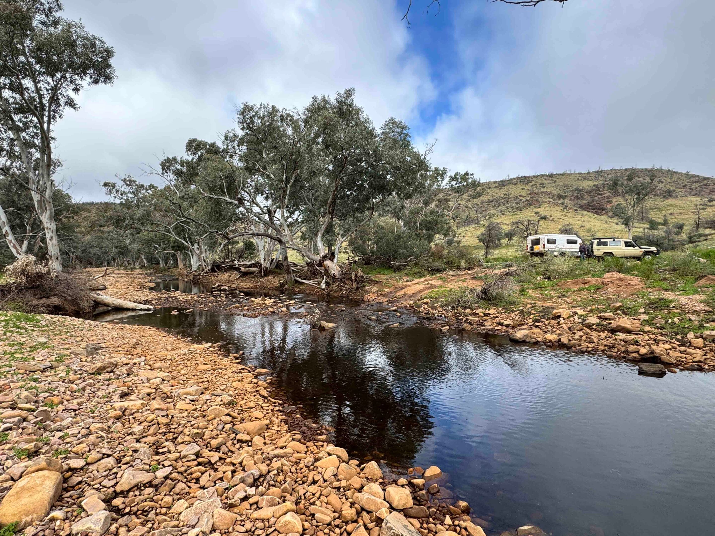
We headed along the Wortupa Track, which strikes almost directly north through the heart of the park, before we picked up the east-west Idninha Track that took us to Mainwater Creek and its washed-out crossing. You could imagine how much water poured down this valley by the amount of flotsam piled up against every large red gum that had been strong enough to withstand the onslaught. Some of those piles of wooden debris were higher than me.
We hadn’t seen anyone since leaving Grindells, and the small camping area at Mainwater Well was empty, so even though it was hardly lunchtime, we called it camp for the day. Later, with a sprinkle of rain threatening, a rainbow touched our camp … sadly, I couldn’t find any pot of gold at its colourful end.
1
Pushing west, we came to yet another creek, where the crossing point had been thoroughly destroyed by the recent flood. The local park ranger had warned us about this crossing, with the barely used bypass track climbing a steep bank and running along the creek’s edge, where a vicious side-slope was a little daunting. Slow but sure got us through, and it was then an uneventful journey to the deserted outstation of Idninha.
While the building is in a fair state of repair, it had been locked up and barred, so you couldn’t enter it. The outbuildings, though, were derelict, victims of time, weather and white ants. This outstation had once served as living quarters for boundary riders and pastoral workers when Balcanoona was an active sheep station. It operated as such from 1856 to 1980, when Balcanoona became the heart of the then newly proclaimed Gammon Ranges NP.
1
Changing plans in the northern Flinders
With rain threatening and showers making the track slippery, we wandered on, exiting the park and soon coming to the more major, but still dirt, Umberatana Road, meeting it just south of Yankaninna homestead.
That property is now owned by Operation Flinders (↗), an SA-based charity that provides young people who may have lost their way with the opportunity to face life challenges by being exposed to the great outdoors. Its major base seems to be at Owieandana homestead further south, and we were to meet up with a few of the volunteers who were running an eight-day trekking program for a number of groups of young people backpacking through this rugged environment.
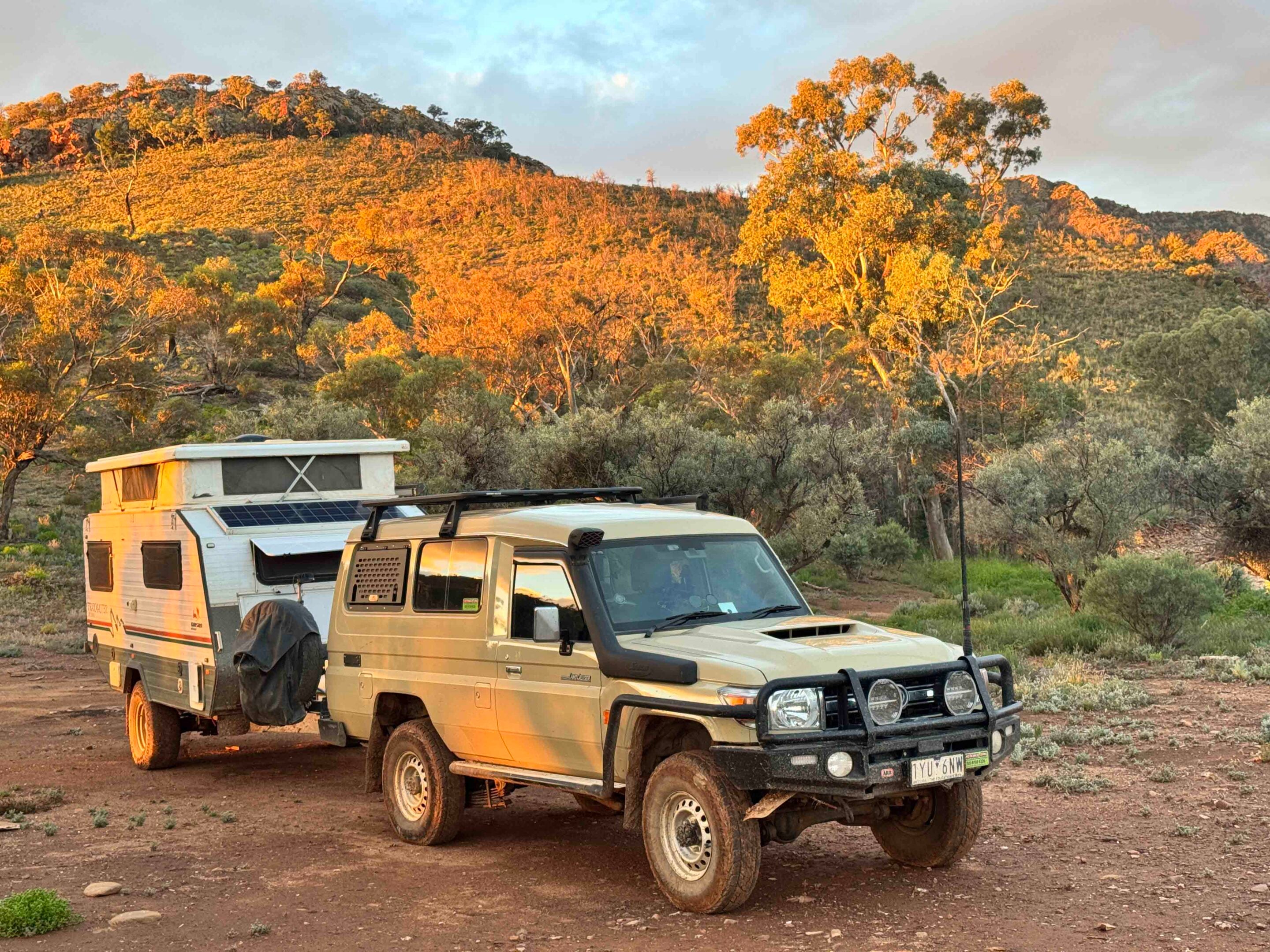
While we wanted to check out an old smelter site and stone chimney on the property, the recent rains and activities going on with Operation Flinders meant we’d have to wait for another day, so we changed plans yet again. Just north of Owieandana homestead, we took the rough and somewhat eroded track that heads east, back into the national park, to the Arcoona campground, where Arcoona Bluff dominates the scene to the north, while the tree-lined Arcoona Creek winds in and around the camping area. There are no facilities at all here, but we were lucky to have water flowing briskly along the creek, which the trees and scrub were taking advantage of. In conditions like those we were experiencing, it was a top spot to stop.
1
The next day, back on the Umberatana Road, we drove south, crossing the occasional creek that still flowed with a trickle of water or slopping through a muddy patch left over from the recent rains. With the dominant peak of Mt Serle off to our west, we came to the deserted homestead of the same name. Here there is an extensive collection of buildings, from the original stone huts and shearing shed to more modern structures. From here, the 17km-long Mudlu Vapu Yurra walking trail begins and ends, taking walkers on a seven- to nine-hour moderate hike along a ridge that climbs to the crest of Mt Serle. We thought we’d leave it for somebody keener and younger than us!
Just a few kilometres later, we came to the much more substantial Copley Road and turned west along this well-maintained route, which seemed like a highway after the last few days of tracks and worn and eroded station roads. The newly refurbished and reopened Beltana pub was calling, and we headed there, leaving our northern Flinders Ranges adventure behind but vowing once more to return to these impressive ranges and their ever-changing views and challenges.
1
FAQs: Northern Flinders Ranges
Where are the northern Flinders Ranges?
The northern Flinders Ranges and Vulkathunha-Gammon Ranges National Park are located north of Yunta in South Australia.
Where can you get fuel and supplies in the northern Flinders Ranges?
Fuel and basic supplies are available at Yunta, Copley and Leigh Creek. Carry sufficient food, water and fuel when travelling through the national park and surrounding station country.
What are the must-see attractions in the northern Flinders Ranges?
Highlights include Grindells Hut, the ruins of the old gold-mining settlement at Waukaringa, the historic Idninha outstation, Arcoona Bluff and the historic township of Beltana, including its pub.
Who was Harry Ding, and what was his connection to the outback?
Harry Ding was a pioneering outback transport operator who began with a horse and cart in 1922 before moving into motorised transport. Based in Yunta from 1934, he built a major trucking and mail delivery business across northern South Australia. In 1936, he secured the fortnightly Marree–Birdsville mail contract, with his worker Tom Kruse taking on the challenging route that became known as the Birdsville Track.
Where can you find out more about Harry Ding?
More information is available in his biography on the Australian Dictionary of Biography website (↗). You can also read his book, Thirty Years with Men, published in 1988.
Follow 4X4 Australia on Google
Get more 4x4 news, reviews and gear stories from 4X4 Australia in your Google feeds.


We recommend
-
 Explore SA
Kangaroo Island: Wild 4x4 adventure just 100km from Adelaide
Kangaroo Island might only be a short ferry ride from Adelaide, but it feels a world away
-
 Explore SA
Robe to Beachport: A 70km coastal 4x4 adventure
A 70km coastal run from Robe to Beachport delivers some of South Australia’s best sand driving – and a few surprises – on a two-day 4x4 adventure
-
 Explore SA
2025 Land Rover Defender Experience to Arkaba Station, Flinders Ranges
A bush escape in the Flinders Ranges where conservation takes priority over tourism