Explore NT

Gallery 1
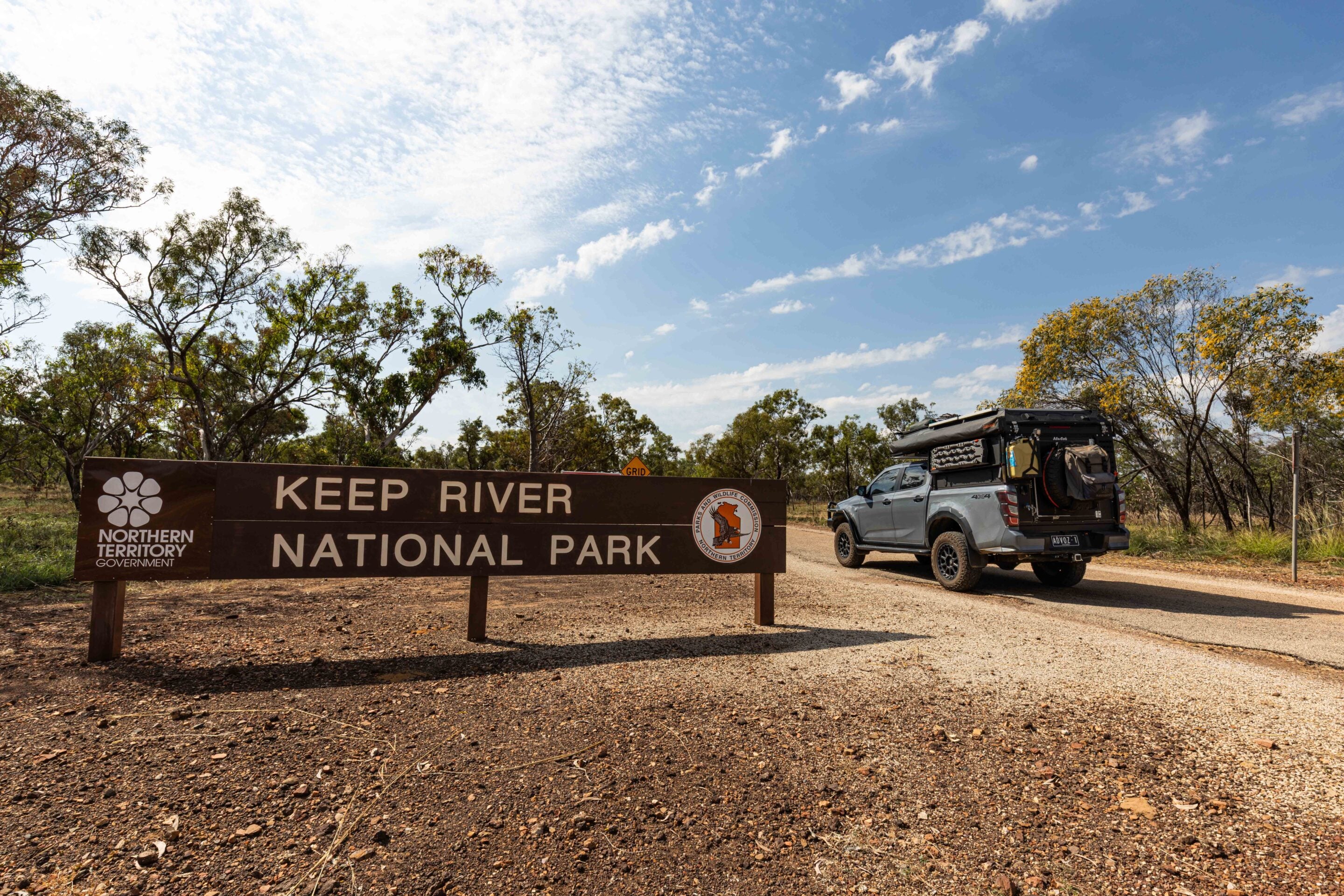
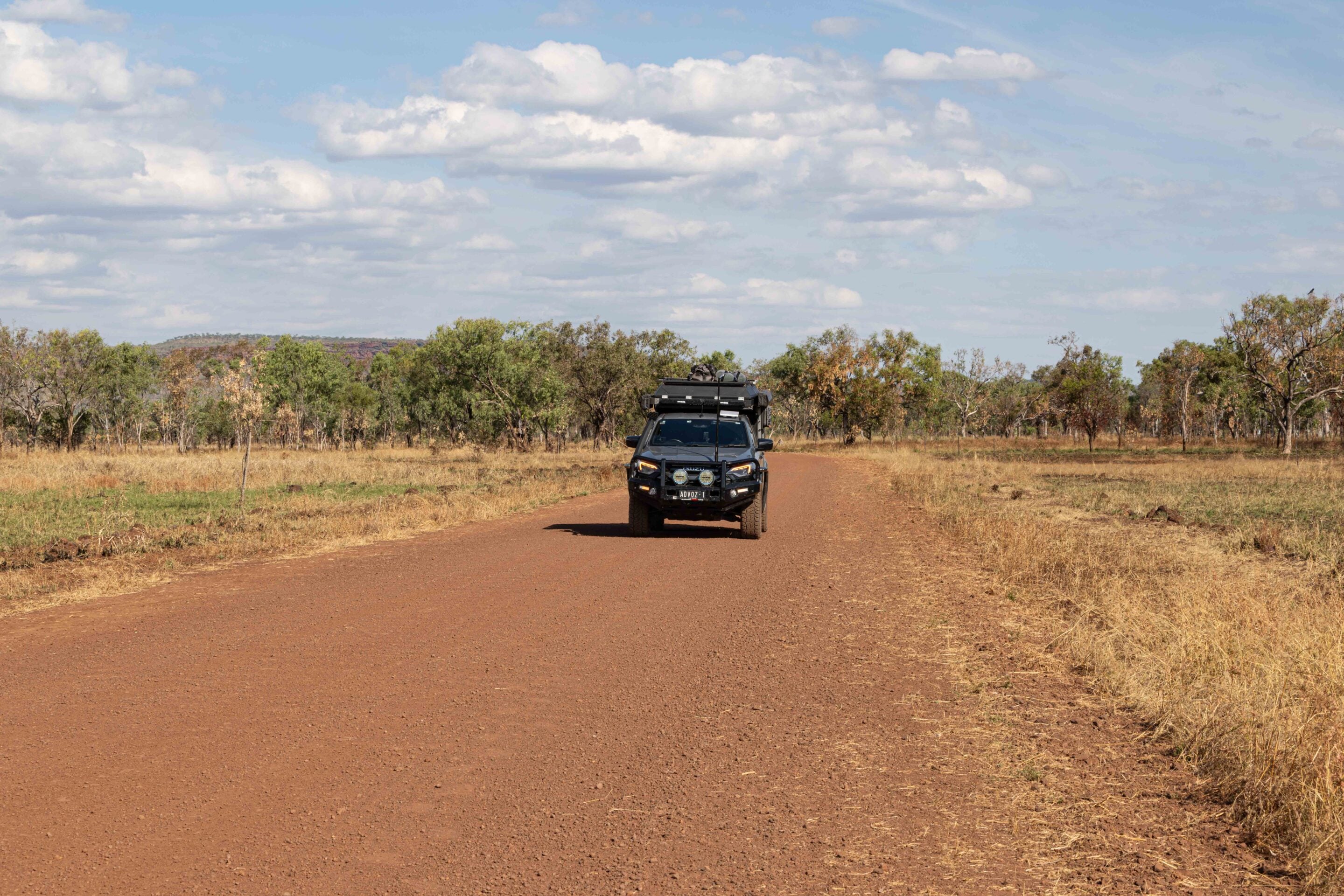
Leaving the highway behind. It always feels like a small decision that turns into something bigger. A few hours out of Katherine, I left the Victoria Highway and turned off the bitumen into Keep River National Park.
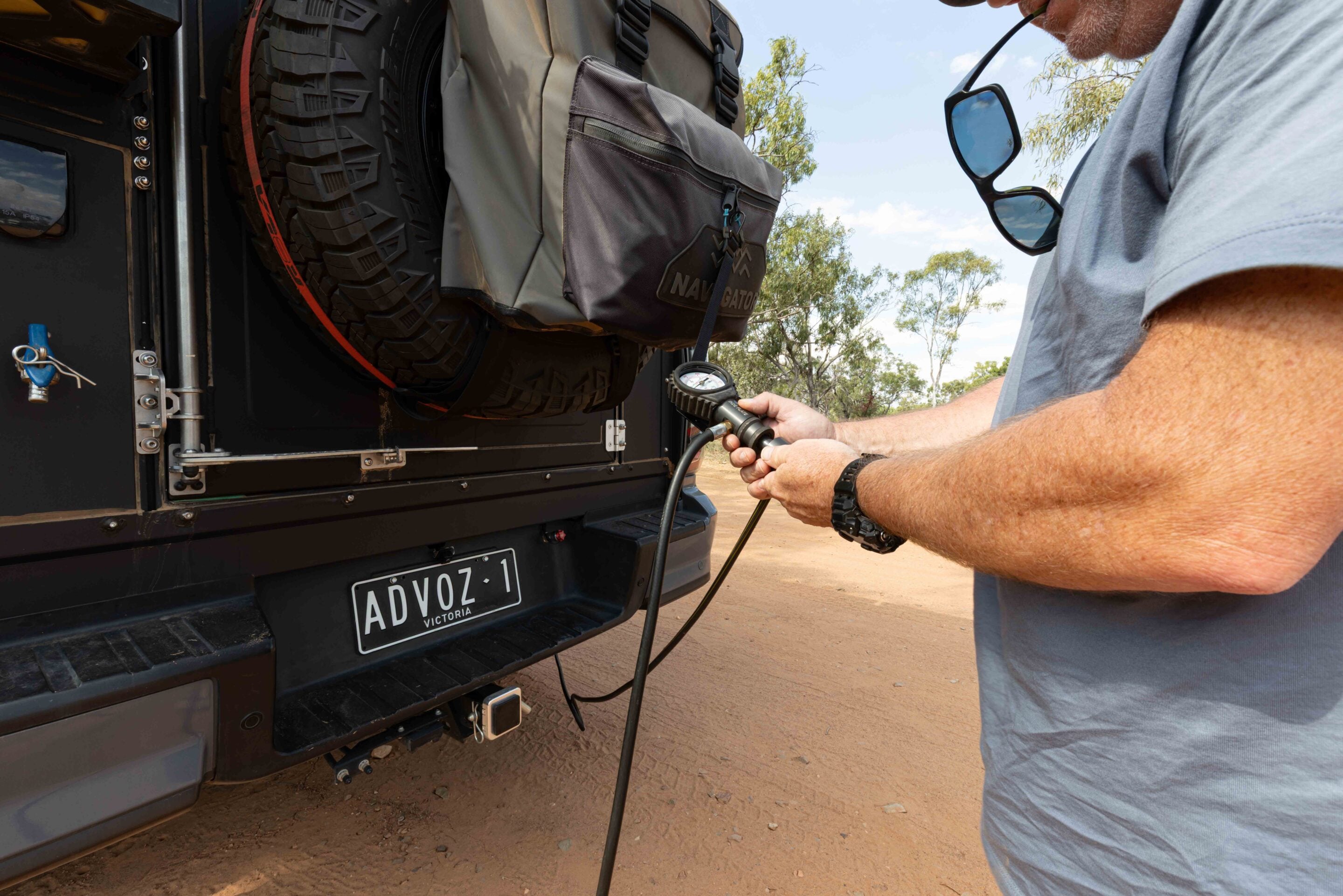
The change was immediate. The road narrowed, the surface turned to gravel, and the country opened into spinifex plains and low sandstone ridges that slowly began to define themselves as I moved deeper into it. Before committing fully to the dirt, I dropped the tyre pressures on the D-MAX to 26psi front and 28psi rear. Nothing extreme, just enough to take the sting out of the corrugations I knew were waiting ahead.
The first stop was the visitor centre and ranger station. I checked road conditions, confirmed there were no closures, and wandered through the information displays. Nearby is Cockatoo Lagoon, a small waterhole that feels slightly out of place in such a dry, open landscape. This is a bird haven, so keep an eye out for cormorants, egrets and whistling kites.
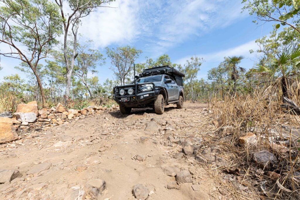
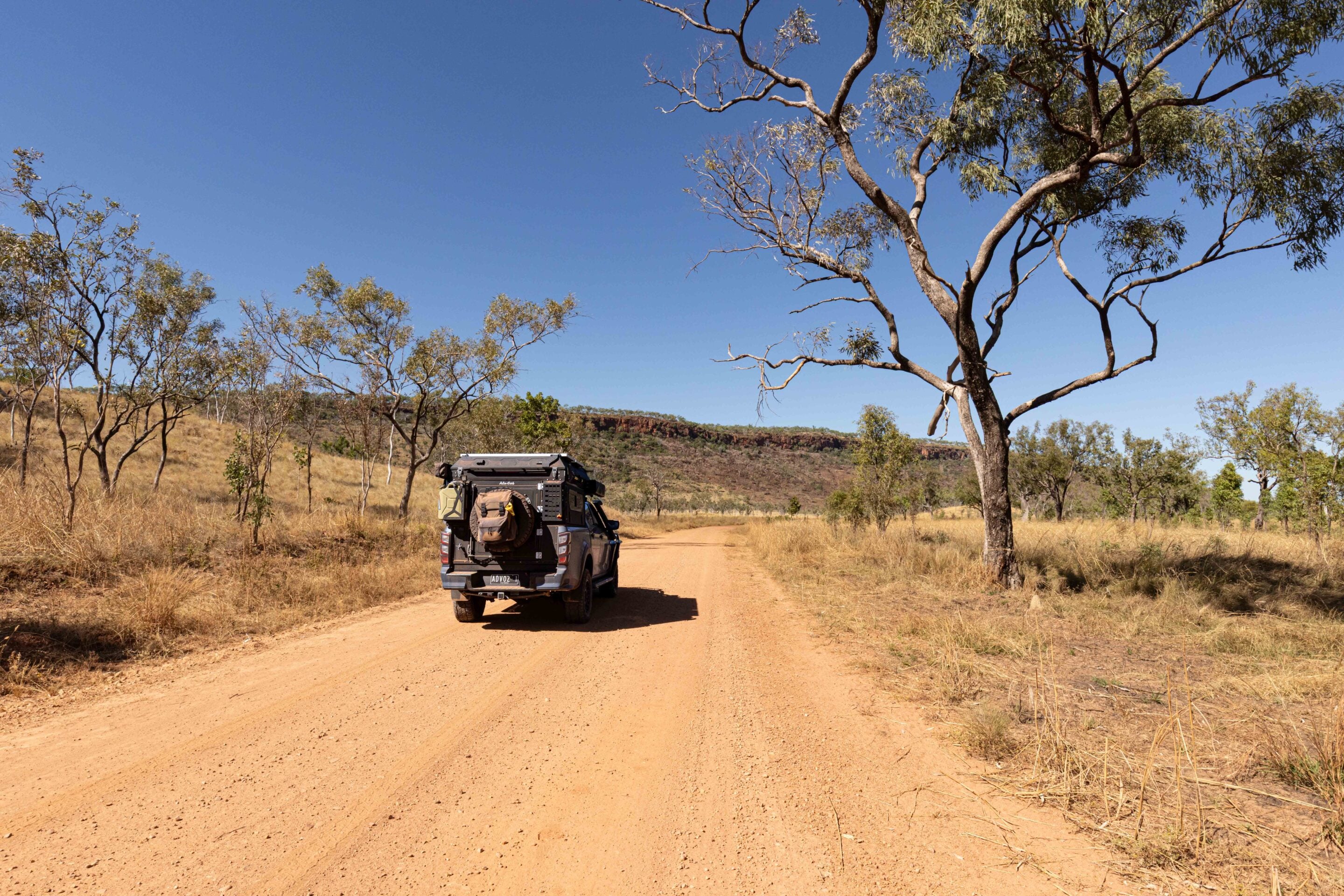
Then it was time to move deeper into the park. The drive out to Jarnem Campground begins gently enough, winding through open woodland and low rises, but it does not take long before the corrugations settle in. Fine red dust hangs in the mirrors and follows you like a second vehicle. The D-MAX, to its credit, just settled in. At the reduced pressures, the Kumho RTs floated across the rough sections with far less punishment than expected.
Not long into the drive, a large flock of red-tailed black cockatoos lifted from the trees. I slowed instinctively, camera ready, but, as usual, they worked the sun against me. Every shot was either backlit silhouettes or empty sky. A reminder that not everything on the road is meant to be captured.
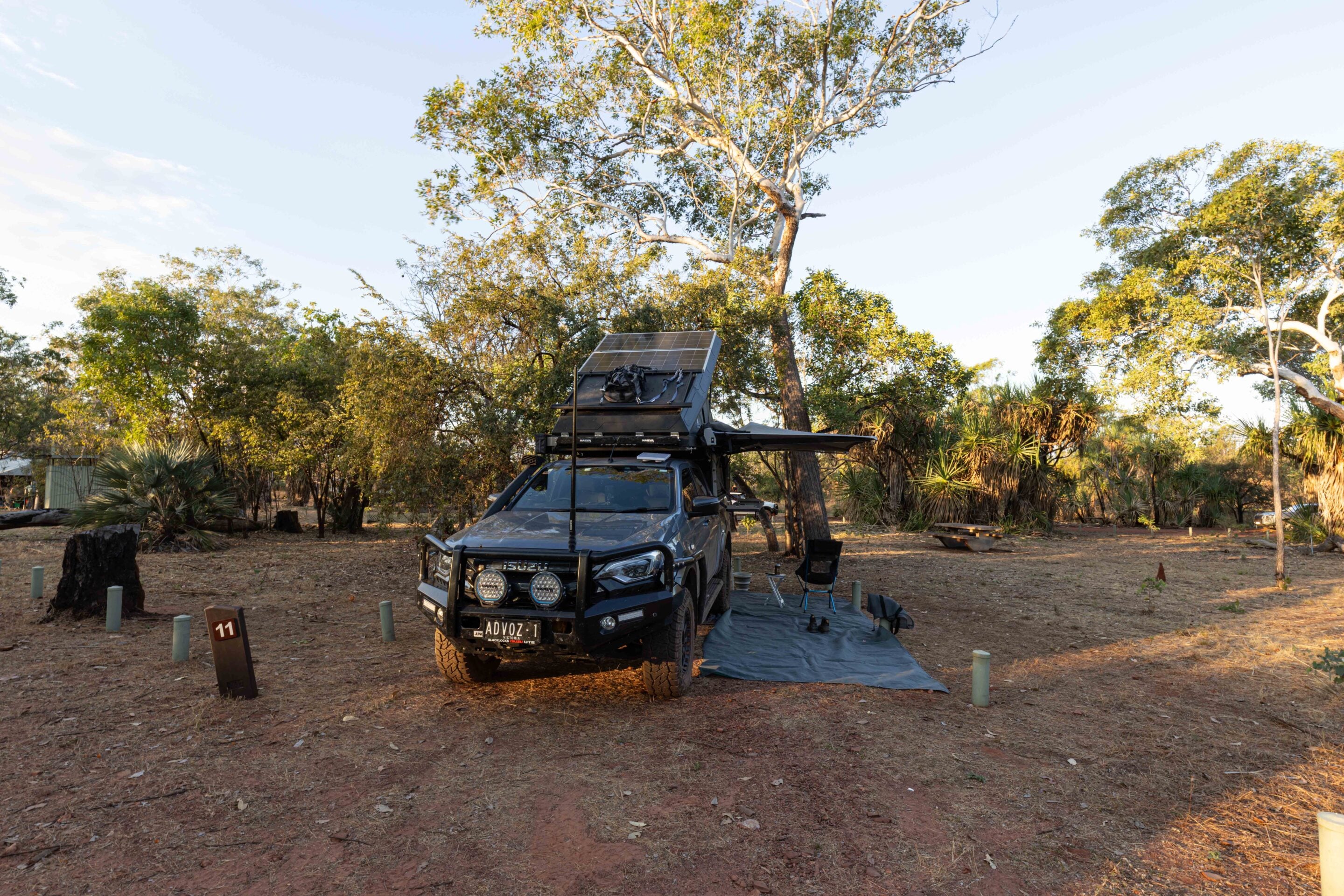
Jarnem Campground appeared after the final stretch of corrugations, tucked neatly into the landscape with generous spacing and a quiet that settles over everything almost immediately. One thing that impresses me about Keep River National Park is the booking system. You select your site online, and the dimensions are listed clearly beforehand. It removes the guesswork, especially if you are towing or running a larger camper set-up.
My site was exactly as expected. A couple of quick adjustments with the Polyair airbags and levelling ramps, and I was set. Two drop toilets service the campground, and they were in excellent condition – clean and well-maintained. That first night was simple. No generator noise. No traffic. Just the bush settling in around camp as light faded off the sandstone country.
1
Exploring the ancient stories of Keep River
Morning arrived the way it should out here.
Not with an alarm, but with bird calls moving through the trees and the first light lifting across the sandstone country. There was no rush to be anywhere. That’s the thing about Keep River. It slows you down whether you plan for it or not.
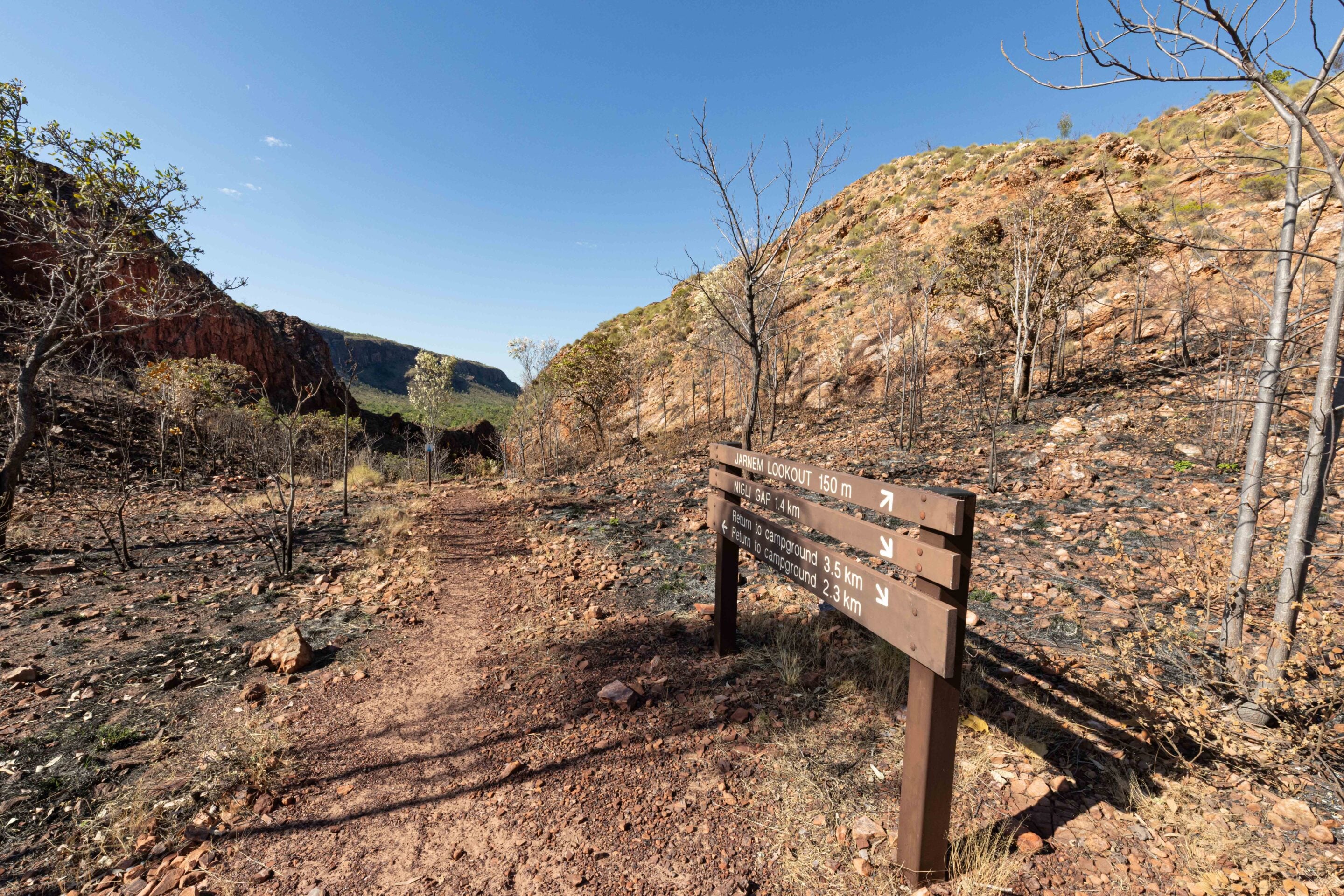
By afternoon, I set out for the Jarnem Walk. The track begins quietly, moving through changing vegetation that reflects the underlying country. Open woodland gives way to thicker pockets where grevilleas, spinifex and mixed shrubs attract constant bird activity. Honeyeaters move between flowering plants while smaller birds dart through the undergrowth.
Then the landscape tightens into rock. Nigli Gap is where the story deepens. Here, sandstone walls carry ancient ochre paintings, faded red markings that have been slowly absorbed into the rock over time. They are not loud or decorative in any modern sense. They feel like echoes.
1
One of the strongest themes here is emu hunting. The paintings and stories depict Miriwoong men covering themselves in mud to mask their scent, approaching emus behind foliage-covered shields. It was a method built on patience, reading country and understanding animal behaviour rather than force.
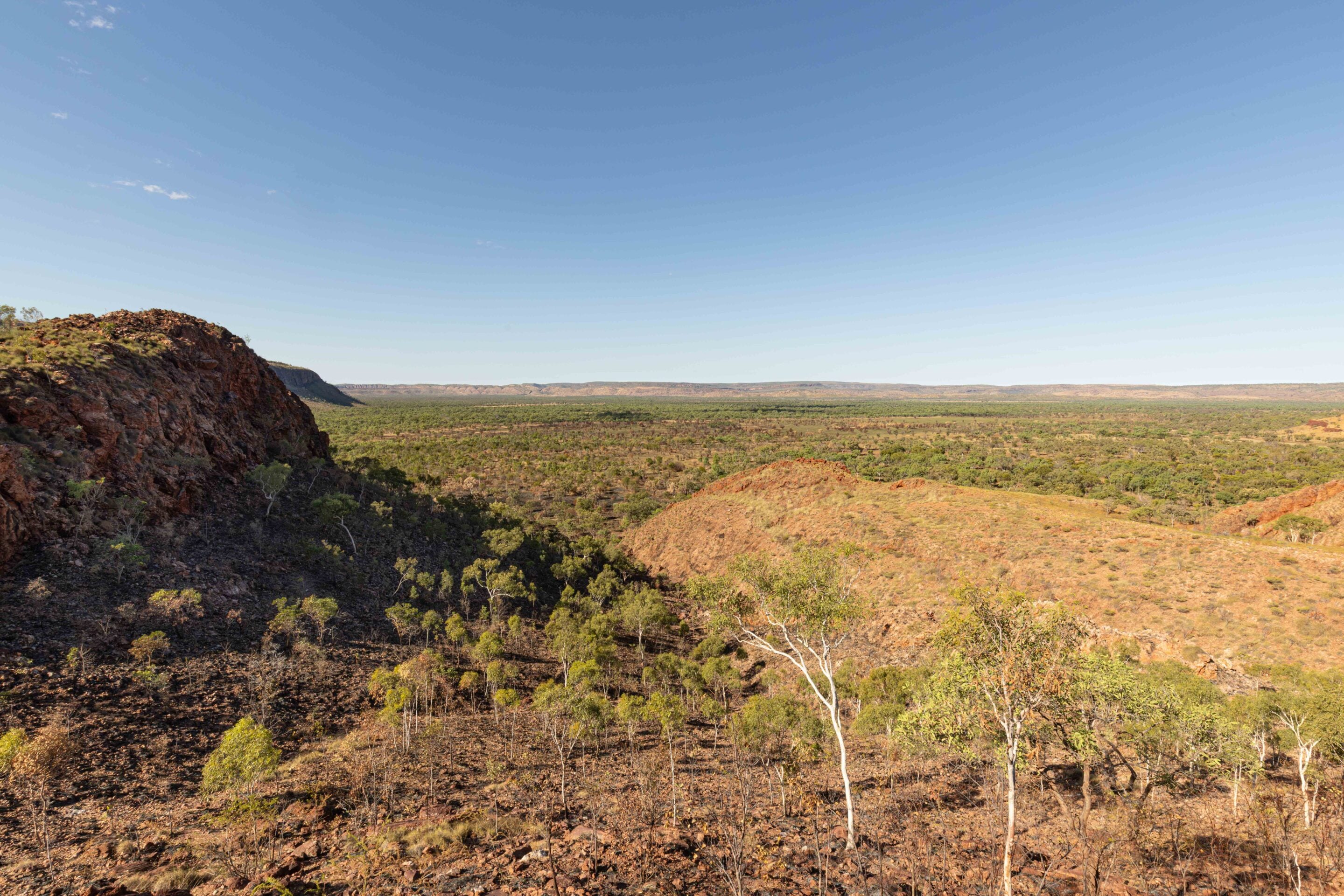
From here, the track gradually climbs towards Jarnem Lookout. The 360-degree views open suddenly. Sandstone ridges stretch across the horizon, broken and layered in a way that feels familiar if you have spent time further west in the Kimberley. It is impossible not to think of Purnululu.
Keep River is not the Bungle Bungles, but standing here, it feels like a preview of what lies ahead across the border. The same language of sandstone, erosion and time, just expressed on a smaller scale. If the Gibb River Road is on your itinerary and you miss Purnululu, this park is an ideal compromise.
The return walk is when the country changes again. The light shifts, shadows deepen and the track feels quieter. And then, just ahead, a snake slides off the track into the grass at the edge of the trail.
Nothing dramatic, just enough to sharpen your awareness for the final stretch back to camp. I found myself thinking a quad bike would not have been the worst idea at that point. Not because the walk was difficult, but because out here your imagination tends to stretch things a little further than necessary when you are on foot.
By the time I reached Jarnem, the campground had settled back into silence. Another night in Keep River, surrounded by sandstone, birds and that steady Top End quiet that never feels empty.
1
Deeper into Keep River National Park
Morning at Jarnem had that same quiet rhythm again.
No urgency, just light creeping across the sandstone and birds moving through the trees like they owned the place. This was pack-up day, but not a rush. The plan was to shift camp to the central section of the park and explore another of Keep River’s key walking areas before settling in at Goorrandalng.
The Kumho RTs stayed at their lower pressures as I rolled out of Jarnem and back onto the gravel. Corrugations, dust and heat – the usual trio – quickly re-established themselves. Not far into the drive, a herd of feral cattle appeared on the track ahead. They drifted across the road without much interest in anything, reminding you that even in a national park, country like this rarely feels fully controlled. It simply is what it is.
Red-tailed black cockatoos lifted again from the tree line as I passed, followed by a couple of galahs cutting across the open woodland. It felt like the same cast of characters had followed me from camp. The next stop was the Jenemoom Walk.
1
Jenemoom Walk: Stepping into ancient Miriwoong country
Even before setting off, the information board sets the tone. This is Miriwoong country, shaped by thousands of years of occupation, movement and story. Tracks across the landscape are not just physical routes, but cultural ones as well.
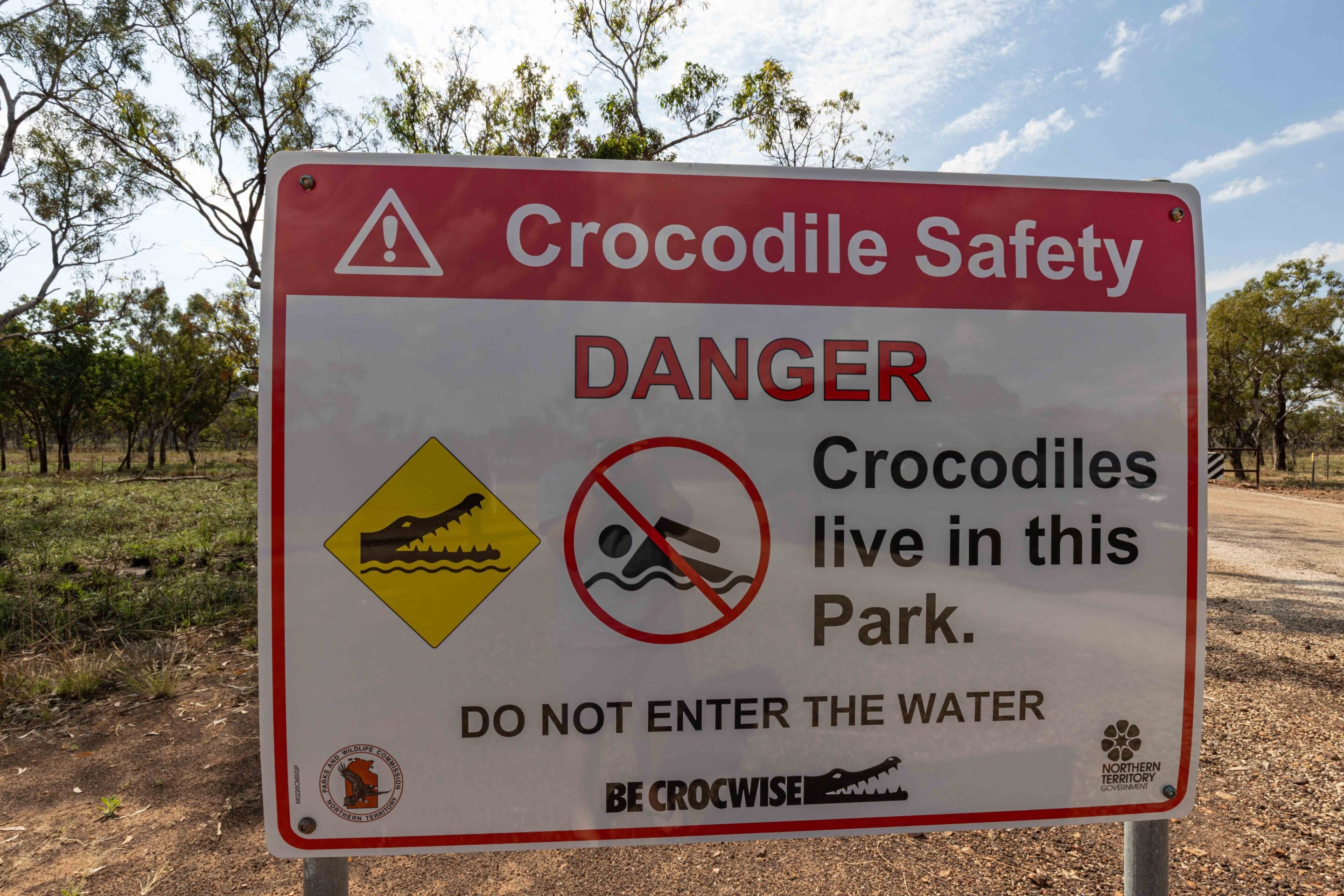
The walk itself begins near the gorge, where the country narrows and the vegetation shifts again. Boabs stand scattered through the landscape, their swollen trunks holding water and memory in equal measure. Dragonflies flicker through still pockets of air near the creek line, flashing red and gold in the sunlight. Crocodile warning signs appear near the water, a reminder this is not a landscape to underestimate.
The track moves through sections of creek bed and open woodland before reaching the deeper cultural sites. Here, Aboriginal occupation is not something interpreted from a distance. It is present in the ground itself. Middens more than a metre deep, stone grinding surfaces and sheltered overhangs covered in artwork all speak to long-term use of this place.
Standing in one of the shelters, it is easy to understand why. Shade, water, food sources and shelter all come together in a way that makes this country highly liveable if you know how to read it. I had first walked this track back in 1994, and coming back more than 30 years later brought an odd sense of familiarity. Some landscapes don’t change in any obvious way. They simply wait.
Leaving the gorge, the walk flows back towards the track where the country opens again. And that is where the next shift happens.
1
Goorrandalng Walk: Keep River’s sandstone at its best
Not long after leaving Jenemoom, the landscape begins to change again. The sandstone becomes more sculpted, more layered, more defined. Goorrandalng Campground sits in the middle of it all, tucked into country that feels both open and enclosed at the same time.
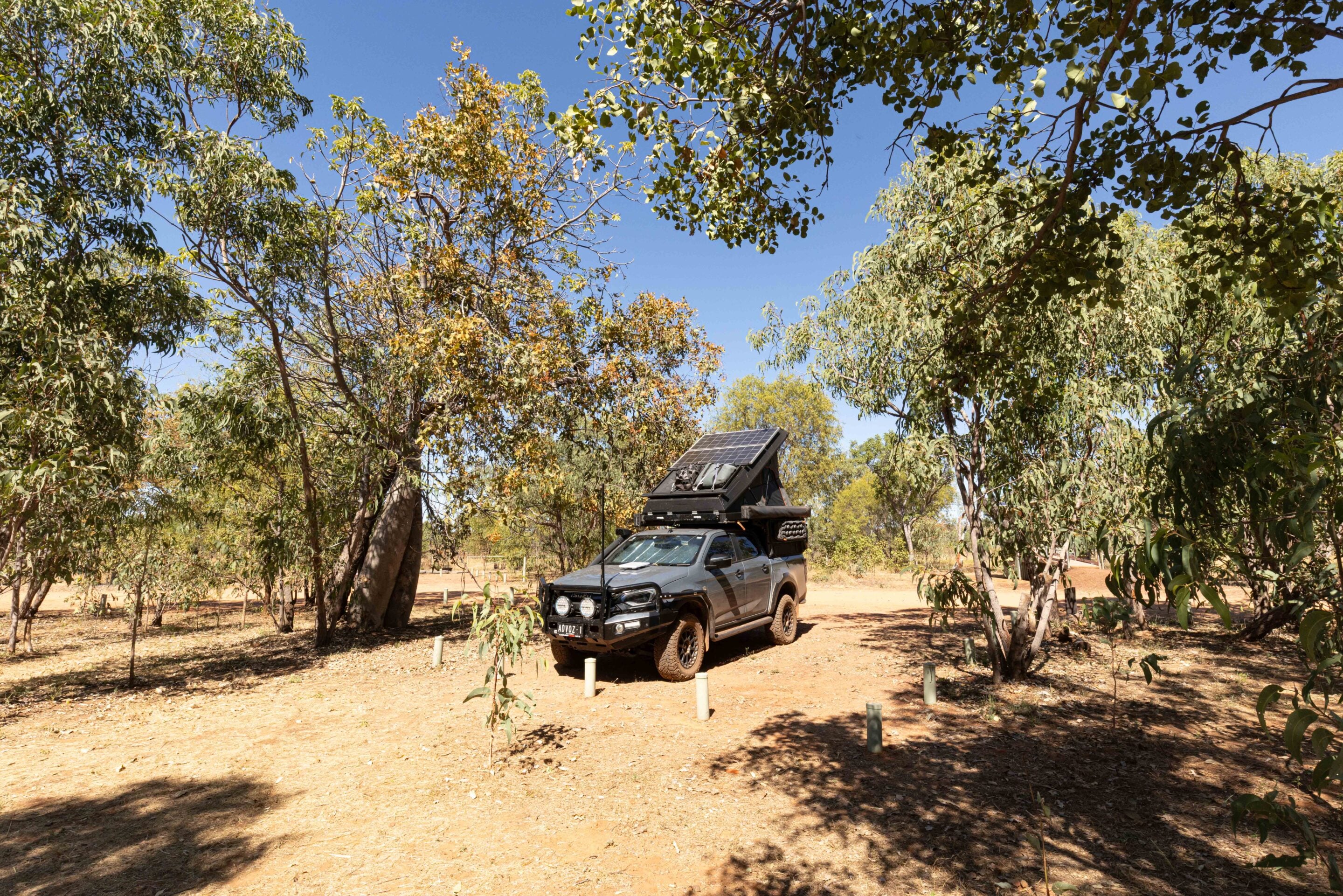
Set-up here is simple. The site is nice and level, the dust settles quickly, and once again there is that feeling of being well away from anything resembling a schedule. The afternoon was set aside for the Goorrandalng Walk. This is where Keep River leans heavily into its geological and cultural depth.
The track winds through dramatic sandstone formations shaped over millions of years. Layers of ancient seafloor, uplift and erosion are all visible in the exposed rock faces. In places, the sandstone feels soft and rounded. In others, it stands in sharp, fractured edges.
1
Interpretive signs describe a landscape shaped over roughly 250 million years, but standing here, that number is almost meaningless. The scale is too large to process in anything other than instinct. Cultural stories are woven through the same country.
The Brolga Dreaming is one of the key narratives associated with Goorrandalng. According to tradition, ancestral figures travelled through this landscape, dancing and moving across the country before transforming into brolgas. The story remains tied to the land in a way that is not symbolic so much as embedded.
Vegetation here reflects the fire history of the region as much as the soil. In some areas, recent cool burns have stripped back undergrowth, revealing the sandstone beneath. In others, spinifex, wattles and hardy shrubs reclaim space quickly.
It is one of those walks where the scenery constantly shifts between botanical and geological focus. One minute I was looking at plants adapted to harsh seasonal extremes, the next at rock formations that predate anything living on them. By late afternoon, the light across the sandstone becomes the main event. Shadows stretch, colours deepen and the country takes on a more defined texture.
1
Ginger’s Hill: A clever lesson in living off the land
On my way out of the Goorrandalng area, I stopped at Ginger’s Hill. The walk is short, but the feature at the top is what draws attention. A small stone-and-stick structure, roughly a metre high, sits on the hilltop. It is easy to miss its significance if you do not know the story.
Early European visitors assumed it had some ceremonial purpose, or simply could not understand its function at all. The reality is far more practical. It is believed to have been used as part of a bird-hunting method, in which a hunter would sit inside the structure while a nearby fire attracted birds of prey. A feathered lure would be used to draw them closer. When a bird landed, the hunter could reach through the structure and capture it. Ingenious, efficient and deeply connected to understanding animal behaviour.
Today, the structure is fenced off due to instability, which makes photography difficult, but it remains an important reminder of how knowledge of country shaped survival.
1
Leaving Keep River National Park
From Ginger’s Hill, it was a slow roll back towards the ranger station and visitor centre. I made another attempt to speak with a ranger, but again came up empty. The station was quiet, almost to the point of feeling paused.
Water is available here, but it must be treated before drinking, and there are clear instructions not to fill large tanks from the tap. It is one of those practical stops that quietly supports travellers moving through remote country. From there, it was back onto the Victoria Highway. I aired the tyres back up on the roadside before hitting the bitumen again, the D-MAX gradually returning to its normal highway stride. Then it was westbound towards Western Australia.
The quarantine checkpoint came up not long after the border, a reminder that crossing states in the north is not just a sign change. Inspectors check vehicles thoroughly, including fridges, drawers, gloveboxes and storage areas. Fruit, vegetables and honey are all prohibited, and anything found is disposed of on the spot. It is a final reset before the next stage of the journey.
Keep River National Park is one of those places that does not try to compete for attention. It sits quietly on the edge of the route west, waiting for those who choose to slow down. Sandstone country, cultural depth, excellent camping and walks that reward time rather than speed all combine to make it far more than a roadside stop.
Three days here felt like enough to see it properly, but not enough to exhaust it. And that is probably the best measure of any national park.
1
Keep River National Park FAQs
Where is Keep River National Park?
Keep River National Park is around 470km west of Katherine and 45km east of Kununurra, on the Victoria Highway near the WA border in the Northern Territory.
How do you access Keep River National Park?
The park has sealed highway access, with gravel roads within the park.
Where can you camp at Keep River National Park?
Camping is available at Jarnem and Goorrandalng campgrounds. Book online (↗) and select your site before arrival.
What are the road conditions like in Keep River National Park?
Expect corrugations, gravel, loose surfaces and occasional bulldust during the dry season.
Do you need to lower your tyre pressures in Keep River National Park?
Reduced tyre pressures improve comfort significantly on the park roads.
What facilities are available at Keep River National Park?
Facilities include drop toilets, a visitor centre and a limited water supply. Water must be treated before drinking.
Is there phone coverage in Keep River National Park?
Phone coverage is limited. Optus reception is available at the campgrounds, while Telstra coverage is available near the border.
Do you need a permit to visit Keep River National Park?
An NT park entry pass (↗) is required for all visitors except NT residents.
How long do you need at Keep River National Park?
Allow two to three days to experience the park properly, including its main walks, camping areas and cultural sites.
What are the best things to see at Keep River National Park?
The top five highlights are Nigli Gap rock art, Wimmeny Lookout, Jenemoom Walk, Goorrandalng Walk and the Ginger’s Hill structure.
Where can you find more information about Keep River National Park?
More information is available through the Northern Territory Government’s Keep River National Park website (↗).
MORE
NT travel yarns!
Follow 4X4 Australia on Google
Get more 4x4 news, reviews and gear stories from 4X4 Australia in your Google feeds.


We recommend
-
 Explore NT
Central Valley: Litchfield’s hidden 4x4-only paradise
Tucked away behind a locked gate in Litchfield National Park, Central Valley is a 4x4-only paradise of secret campsites, private swimming holes and untamed wilderness
-
 Explore NT
Planning your 4x4 trip to Arnhem Land: Essentials, routes and advice
A journey into Arnhem Land is more than just a four-wheel drive trip
-
 Explore NT
Driving the Colson Track: A remote Simpson Desert adventure
A journey through the heart of the Simpson Desert along the spectacular and rewarding Colson Track