Explore NT

Gallery 1
In 1936, Ted Colson carved his name into outback history as the first European to cross the Simpson Desert.
With five camels, two months’ worth of supplies, and his Aboriginal companion, Eringa Peter, Colson left Bloods Creek on the desert’s western fringe and followed the 26th parallel to Birdsville. After a three-day rest, he turned around and made the 900km return trip in just 36 days.
Colson’s pioneering feat barely registered at the time, lost in the noise of a rapidly modernising world. But among four-wheel drivers, his legacy lives on in the Colson Track – a little-known but uniquely rewarding route that cuts deep into the heart of the desert.
1
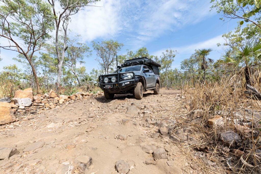
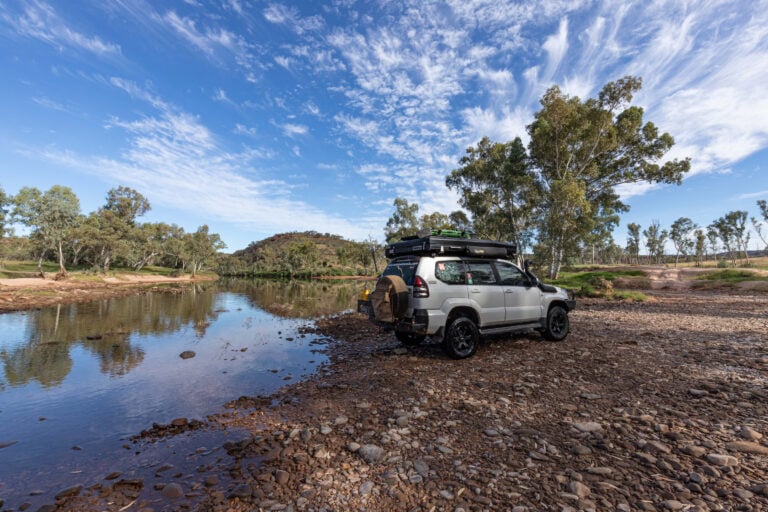
Starting the Colson Track at Old Andado Station
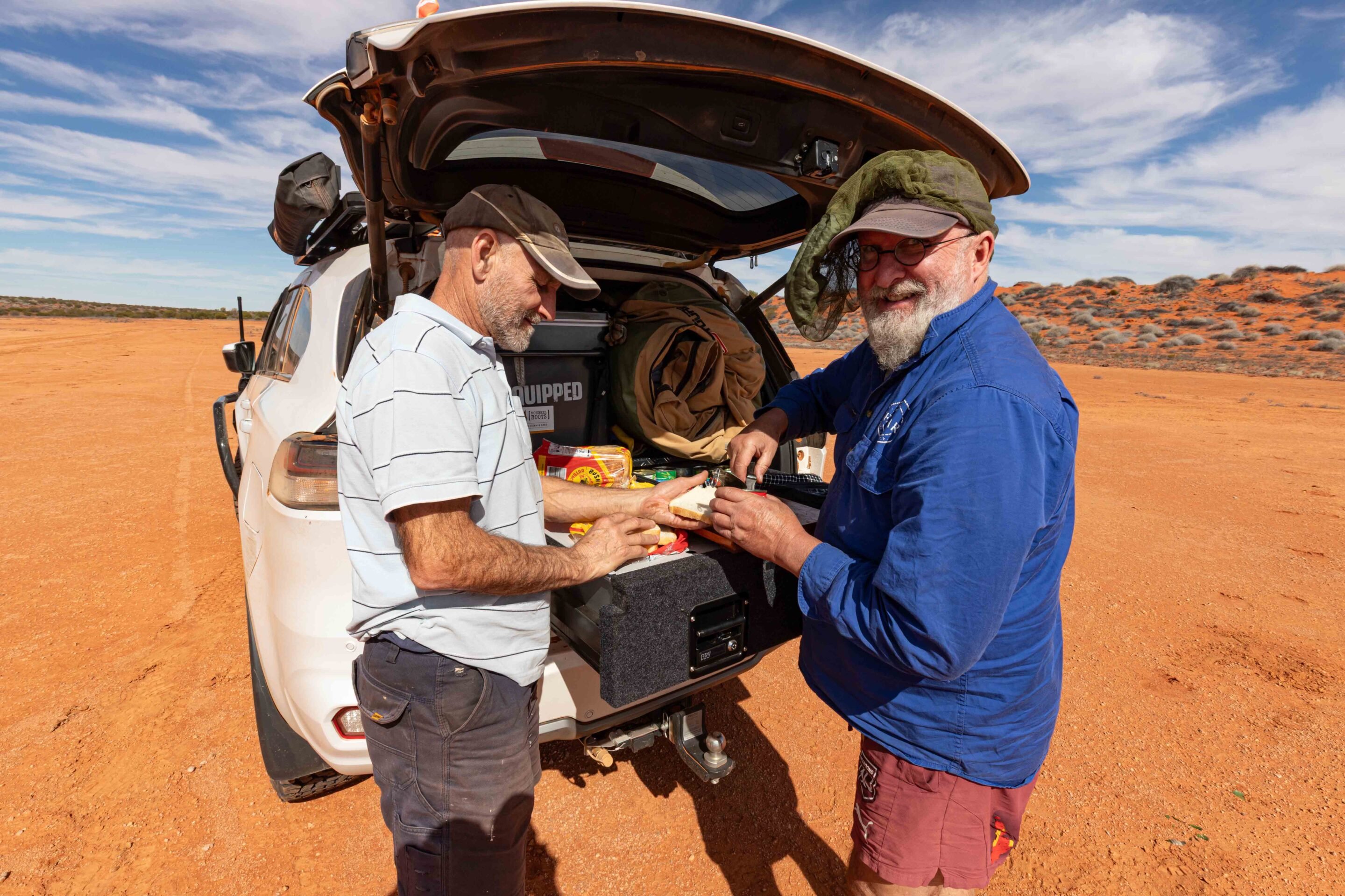
We kicked off the trip from Old Andado Station. Once home to outback icon Molly Clark, the homestead has been preserved like a time capsule.
A wander through the rooms feels like stepping back into Molly’s life before she relocated to Alice Springs. The station features a fantastic campground with flushing toilets and hot showers – provided the water tank is full.
From Old Andado, we tracked 38km north before detouring into the Mac Clark Conservation Reserve, home to the rare Acacia Peuce. These ancient trees have been around since the dinosaur age, with some standing tall for over 700 years. Bush camping is allowed in the reserve, but there are no facilities, and fires are banned to protect the fragile environment.
1
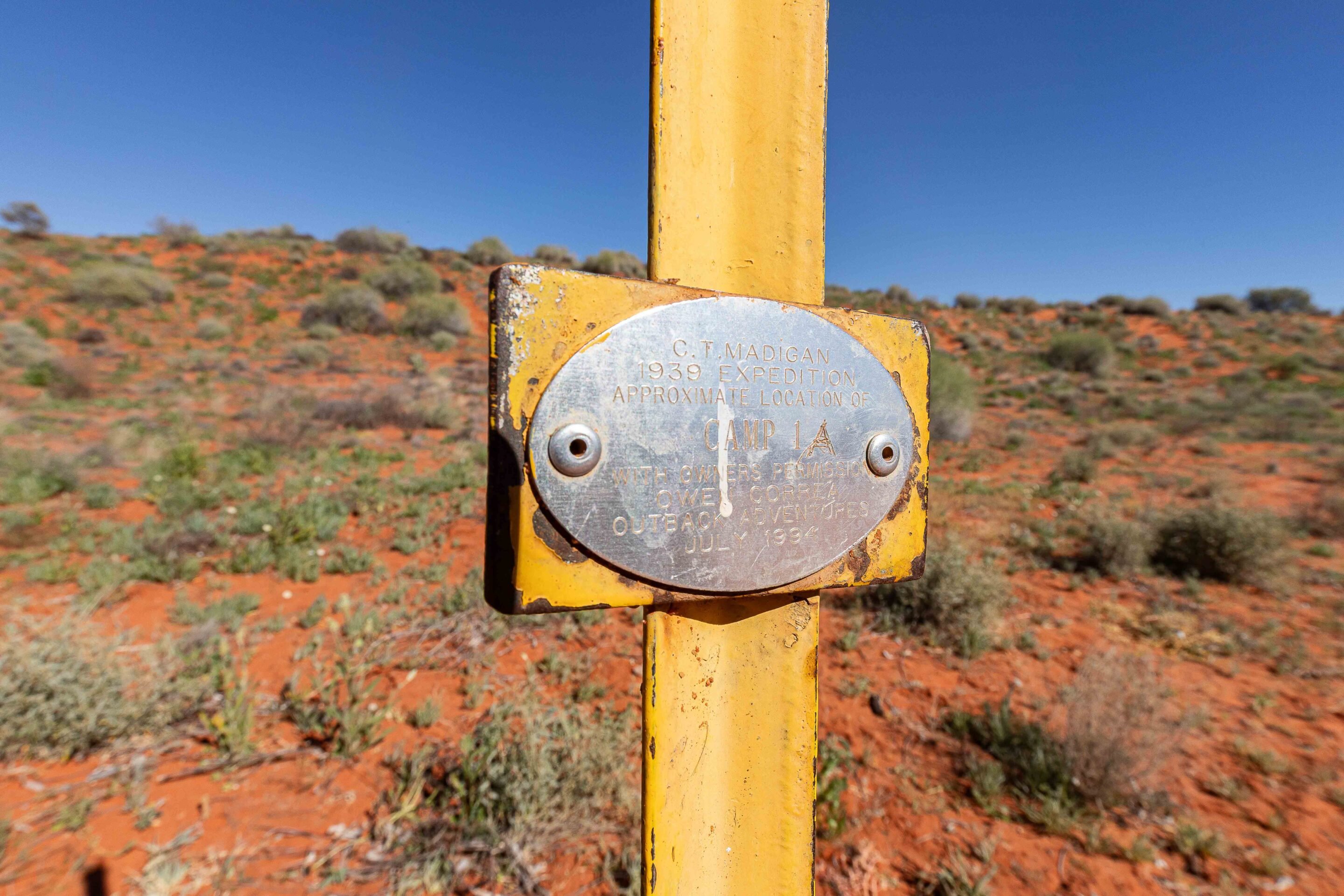
Driving the Madigan Line across the Simpson Desert
Backtracking from the reserve entrance, we turned east onto the Madigan Line. Named after explorer Cecil Madigan, the route follows the path of his 1939 scientific expedition – a camel trek across the Simpson Desert.
The track was heavily corrugated and broken up by countless water diversion humps. After passing Casuarina Swamp and the windmill at East Bore, we hit dune country. Out here, cattle turned up in unexpected places along the rough trail – something to keep an eye out for.
We soon pulled into Madigan Camp 1A. A short track heads west over a dune to Madigan Camp 1, but access is restricted – permits don’t allow travel to Camps 1-4. After grabbing the obligatory camp sign photo, we pushed on towards Marshall Bluff.
2
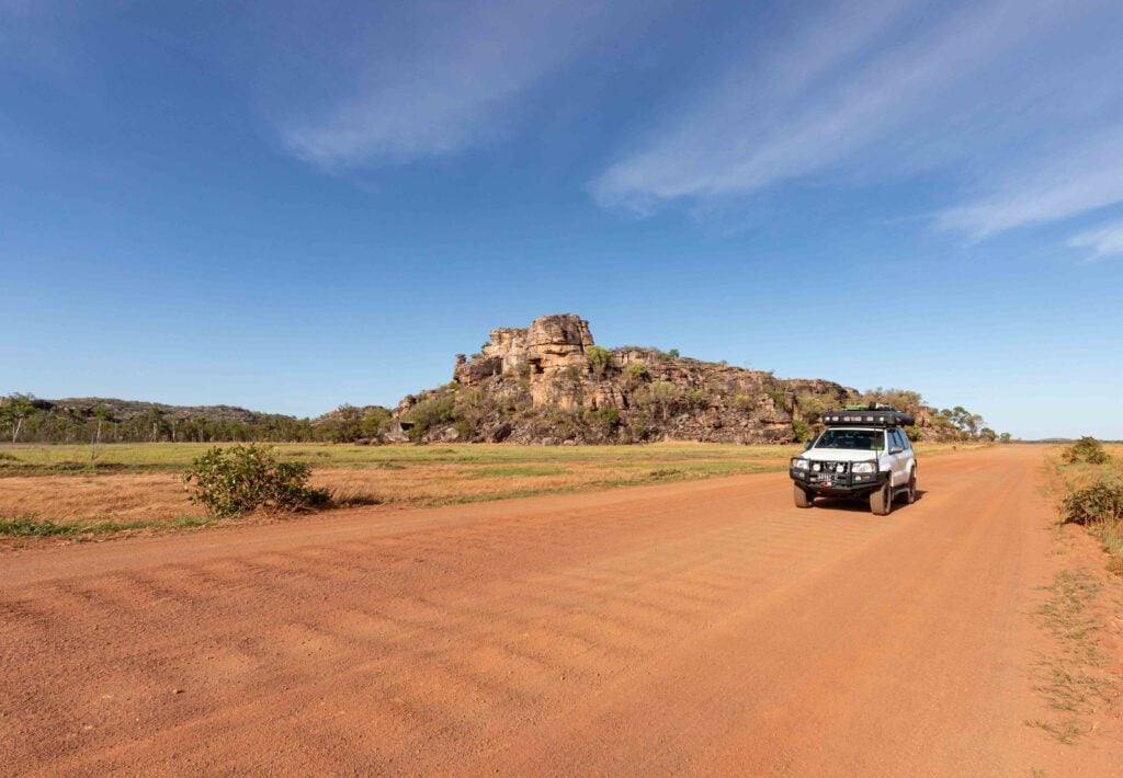
Tackling Marshall Bluff on the way to the Colson Track
Marshall Bluff is a rugged section of the landscape, characterised by its stony outcrops that jut out dramatically against the sky, creating a striking contrast with the golden sand dunes dotted throughout the area.
As we navigated this challenging terrain, the track narrowed, and the rocky surfaces demanded our full attention and careful manoeuvring. Despite the difficulties, the views were nothing short of breathtaking, offering a vivid snapshot of the ever-changing terrain that unfolded around us, showcasing nature’s diverse beauty.
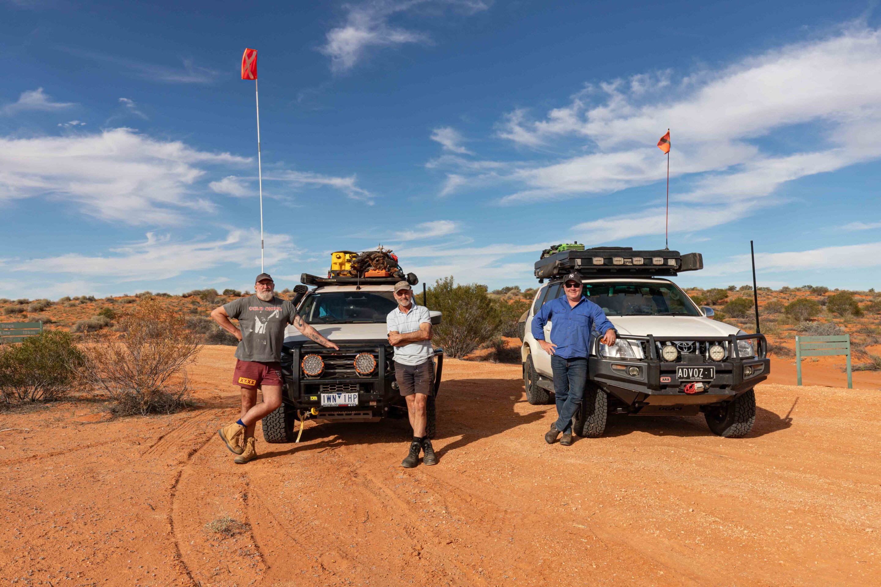
As we made our way back to the plains, the road transitioned once again into a sandy surface, something we had grown accustomed to during our journey. However, the familiar corrugations reappeared, rattling our vehicles as we approached Madigan Camp 5, which is strategically located at the junction with the Colson Track. Here, we decided to stop for a quick lunch, taking a moment to gather our thoughts and energy while contemplating the adventure that lay ahead. Would the Colson Track be reminiscent of the rugged Hay River Track, or would it offer unexpected surprises and challenges?
1
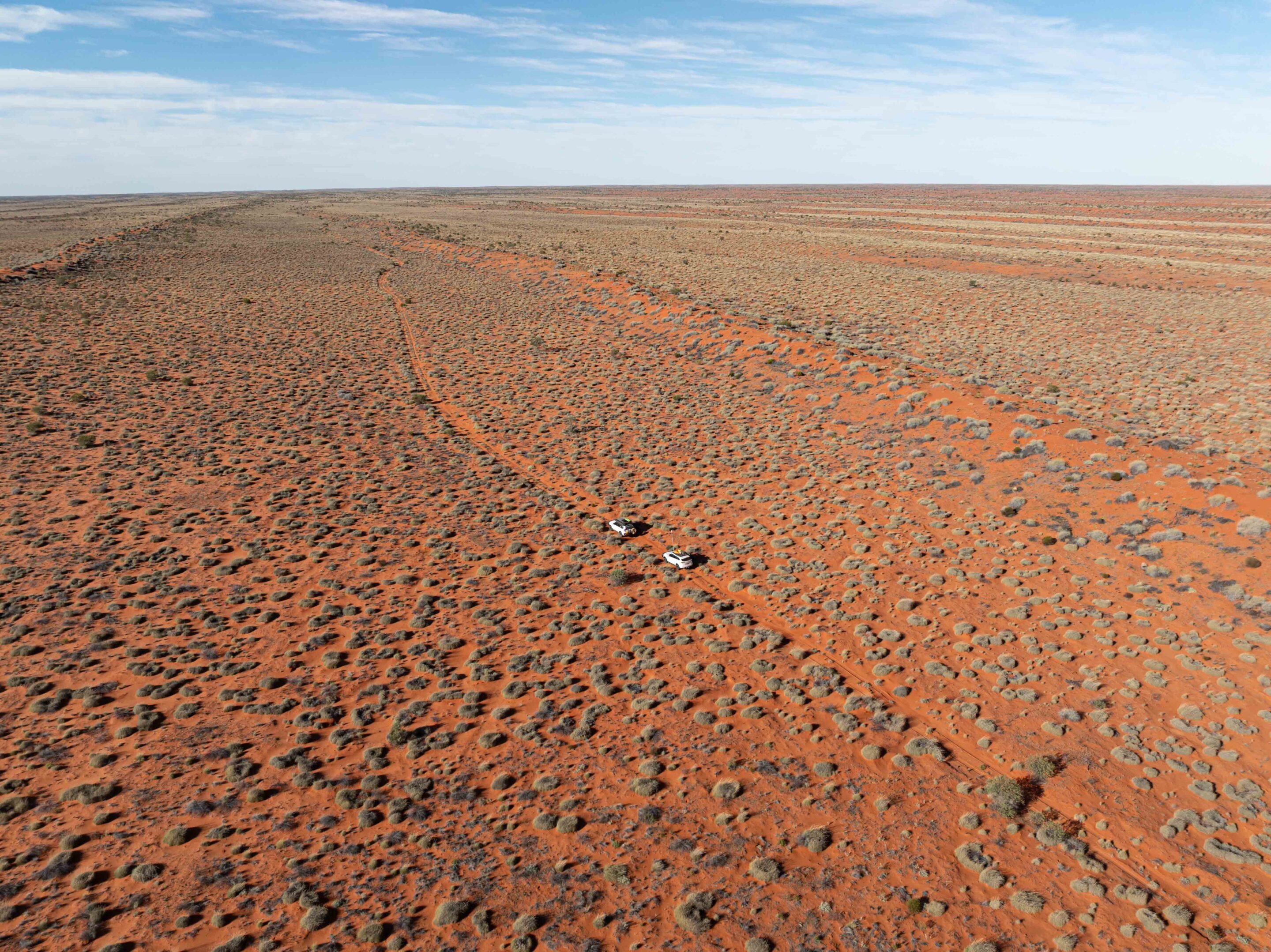
Heading south on the remote Colson Track
Turning south onto the Colson Track, we immediately sensed a change in atmosphere.
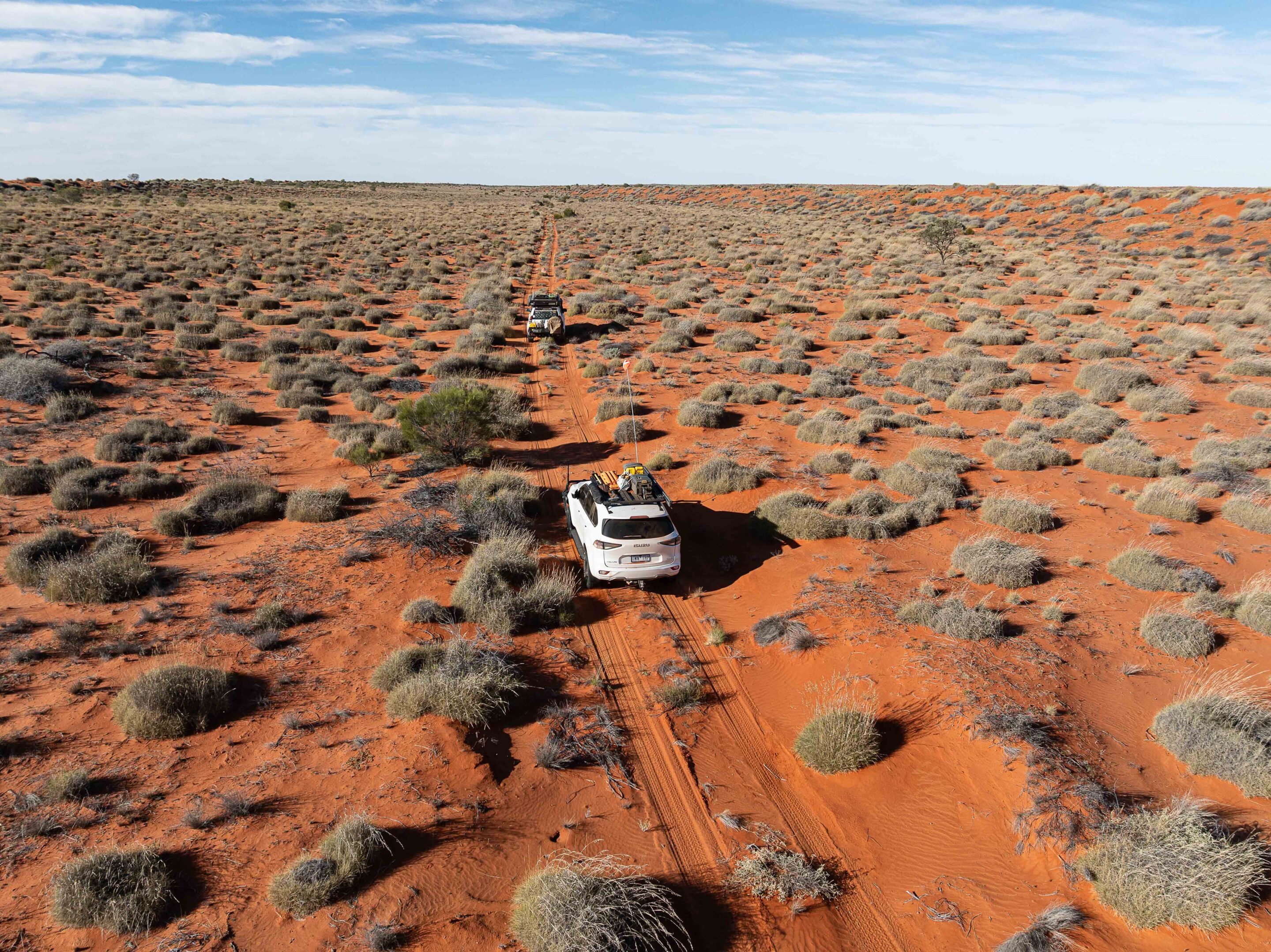
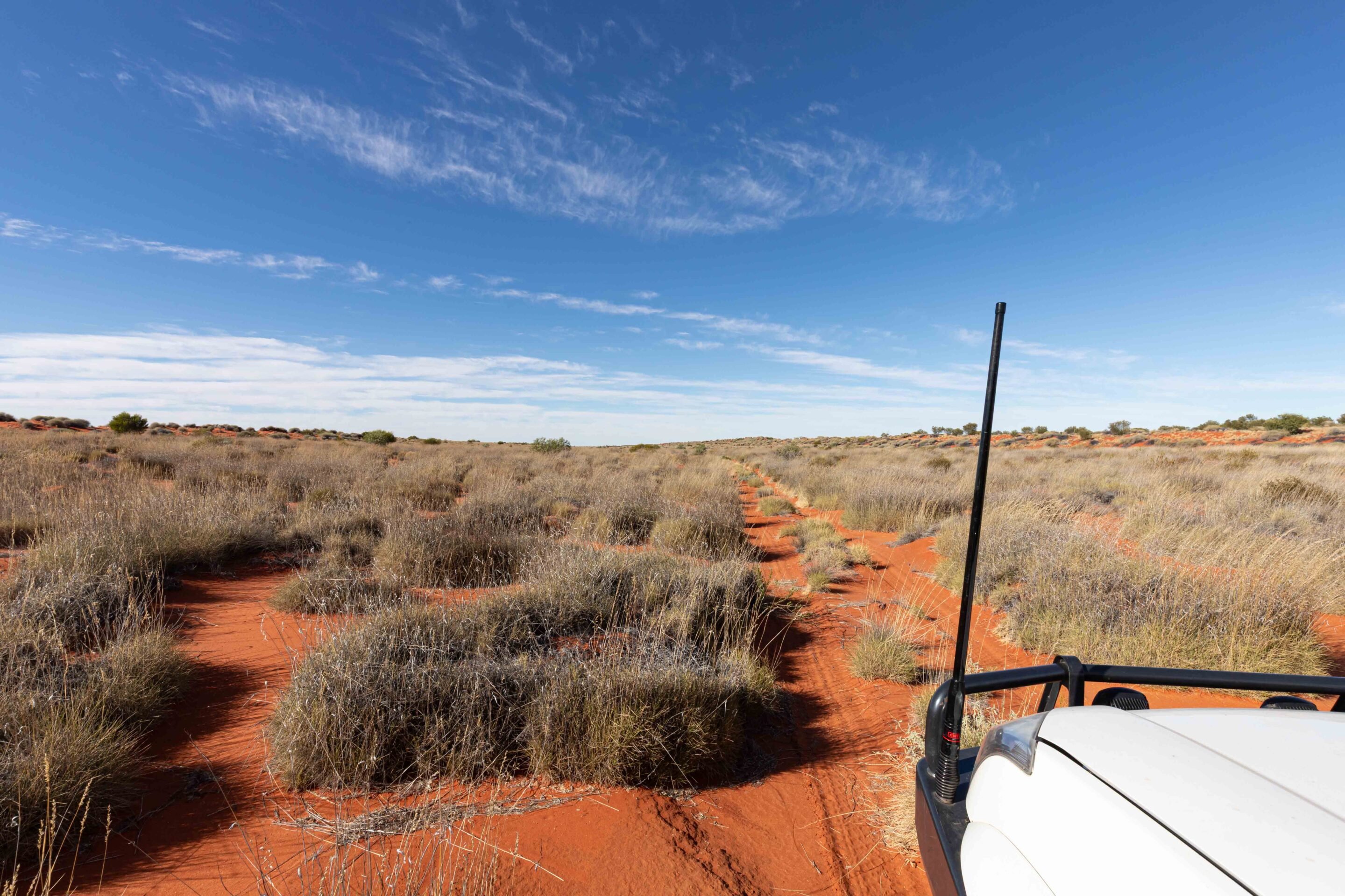
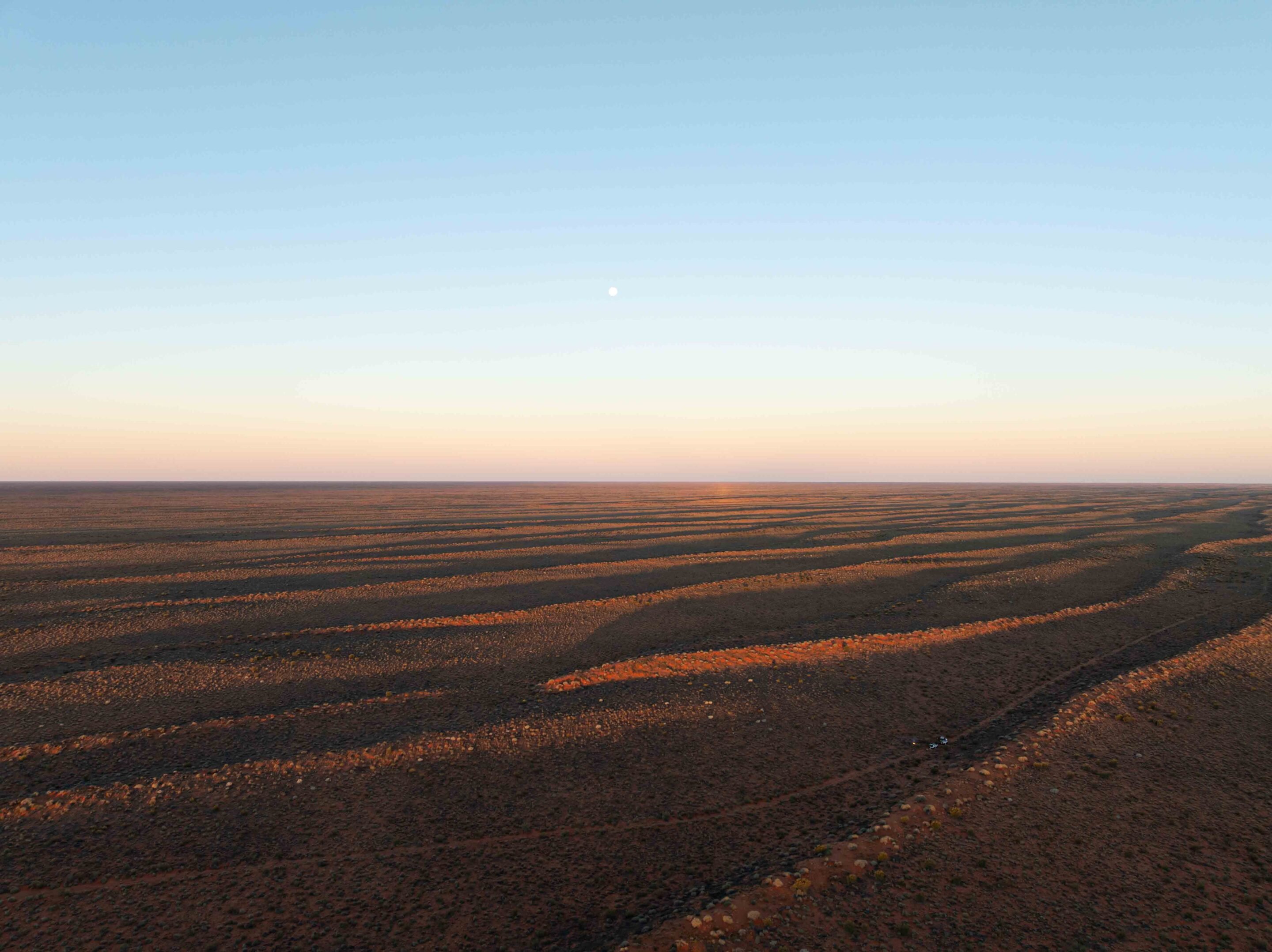
This route, less-travelled and often overlooked, winds its way through the swale nestled between the towering north-south red sand dunes, creating a sense of seclusion and adventure. The terrain was varied, comprising expansive gibber flats that reflected the stark beauty of the outback, claypans that glistened under the sun, and the ever-present spinifex that dominated the landscape with its resilient green hues and sharp blades.
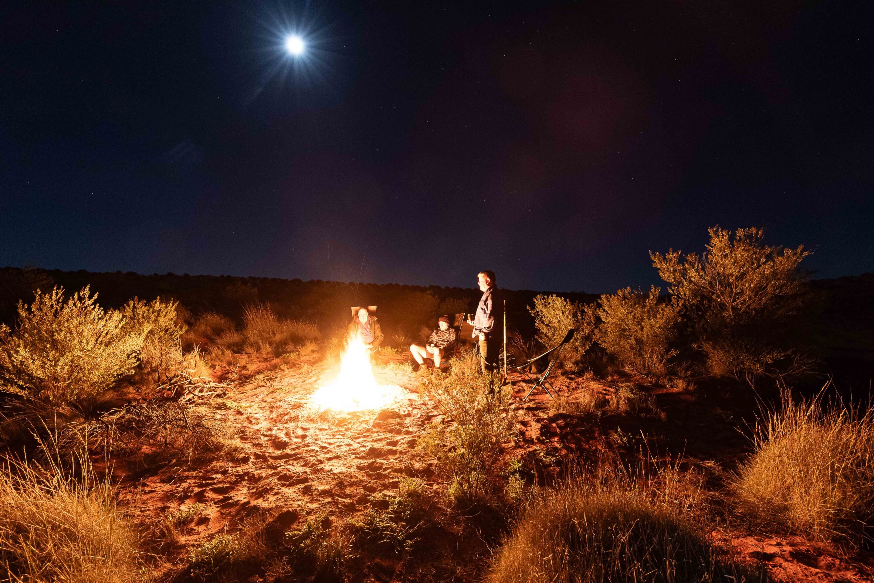
As we ventured further south, the feeling of remoteness intensified. The midsection of the track offered few clearings, and without any designated campgrounds available, we found ourselves pitching our swags right on the track itself. We ensured that we did not disturb the delicate balance of nature around us, mindful of the fragile dunes and the surrounding vegetation that our presence could easily harm.
Dinner that night was simple but satisfying – hot pies out of the Travel Buddy. The flies were relentless, hanging around well after sunset, but the warmth of the fire made up for it. We sat around the flames swapping stories and laughs, soaking in a moment that would stick with us long after the coals went cold.
1
Sunrise on the Colson Track and Outback wildlife encounters
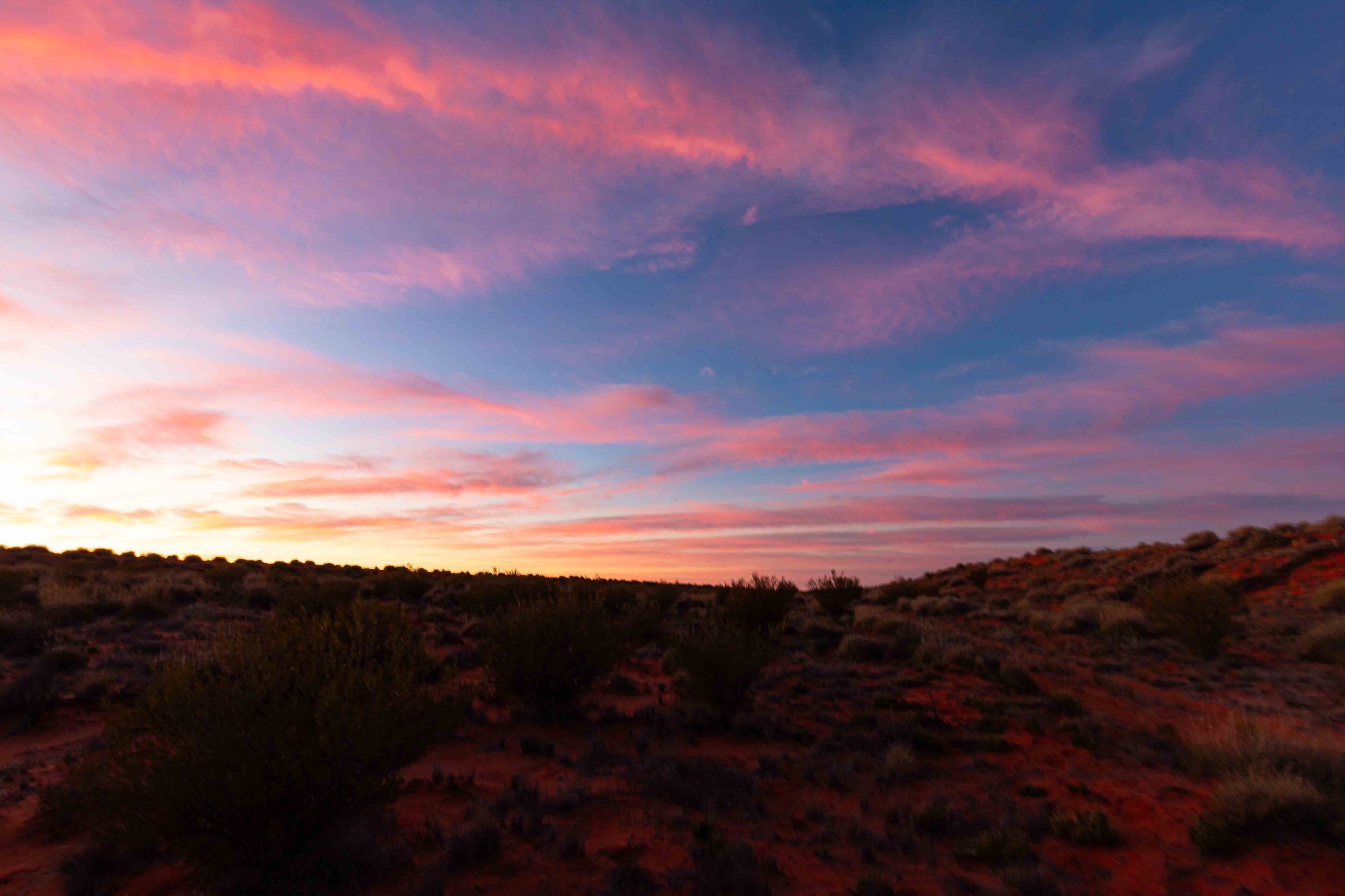
Day two kicked off with a blazing sunrise that lit the sky in orange and pink – a classic outback wake-up call. It was a brisk 5°C, so that first coffee hit the spot. By 7:30am we were back on the track, keen to see what the desert would throw at us next.
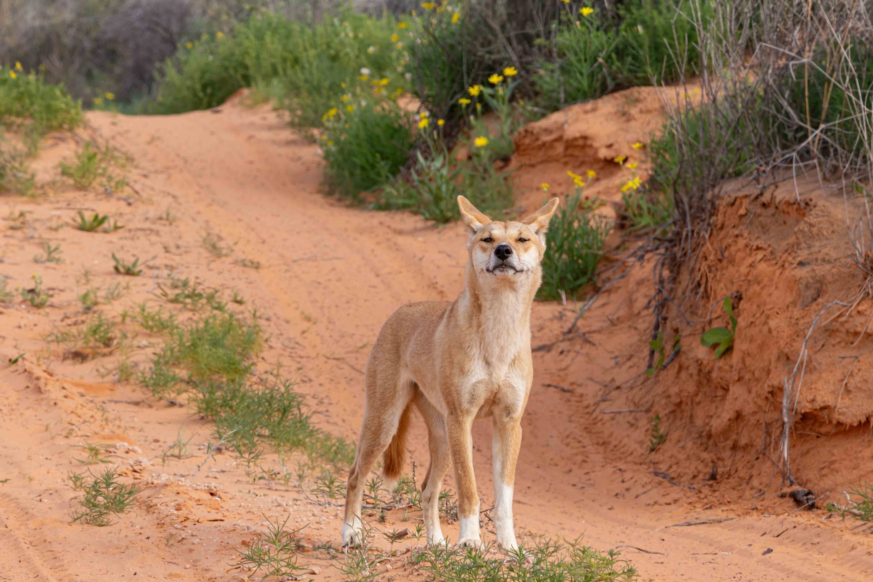
The desert was dead quiet – the only sound was the steady crunch of tyres on soft sand. Every now and then we’d spot the faint tracks of dingos or camels that had passed through earlier, a subtle reminder we weren’t alone out here.
This stretch of the Colson Track was a welcome surprise – smooth and easygoing, a rarity out here. With so little traffic, the track was in great nick. No corrugations, no drama – just a winding path through wide fields of old spinifex and scattered desert scrub, showing off the raw beauty of the landscape.
Wildlife was scarce, but we did spot the odd lizard darting across the sand, quick to vanish as we rumbled past. I kept an eye out for the elusive thorny devil, but luck wasn’t with us this time. Still, the day rolled on, and with it came the promise of more surprises in the sand.
1
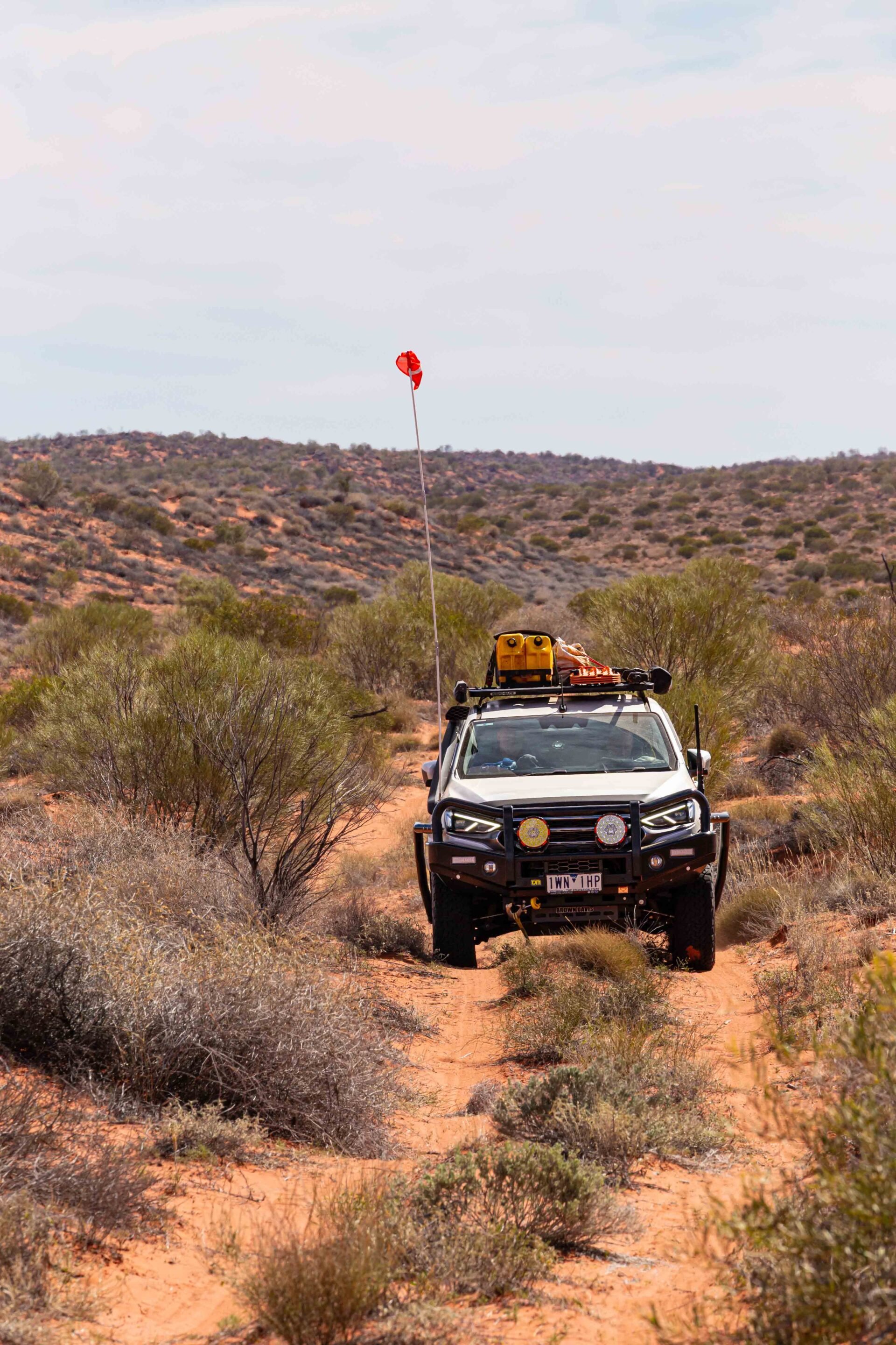
Crossing spinifex country on the Colson Track
Progress slowed as thick spinifex and hidden root balls filled the ruts, making for a rough and unpredictable ride.
The track rose and dipped with the land, opening up at times to wide claypans and gibber plains stretching to the horizon. These brief changes let us nudge the pace up – but only when the terrain allowed, and always with an eye out for what might come next.
Along the way, we came across a rusted old trailer abandoned beside the track – a curious relic, maybe from an old mining operation or a long-forgotten army expedition. Finds like this spark the imagination and serve as reminders that the desert holds layers of human history, scattered and fading into the sand.
After about four tough hours on the track, the swale opened up, offering more space and better camping options. Around 30km north of the French Line, we rolled onto a wide claypan that felt like a natural lunch stop – a welcome break from the constant pitching and yawing behind the wheel. We stretched our legs, soaked in the stillness, and took a moment to appreciate the sheer scale of the desert stretching out ahead.
1
Colson Track to French Line: Simpson Desert connection
Back on the track, we passed through a grove of old gidgee trees just north of the historic Colson Oil Well.
One tree held a large, empty nest – likely built by a hawk or wedge-tailed eagle, both impressive birds native to this region. Not long after, a healthy-looking dingo trotted along the track ahead. It was a striking sight – lean, alert, and moving with purpose – but it vanished before I could grab a photo.
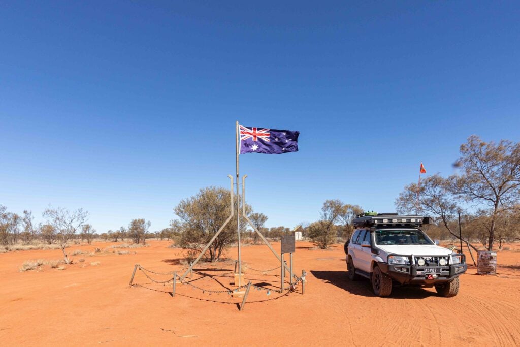
Crossing from the Northern Territory into South Australia was a non-event – no signposts, just the arrow on the Hema HX2 confirming we’d entered a new state. About 23km later, we hit the junction with the French Line – one of the Simpson’s most iconic crossings. We considered setting up camp in the nearby Gidgee trees, but it was still early. Spirits high, we pushed on, keen to see what else the track had in store.
1
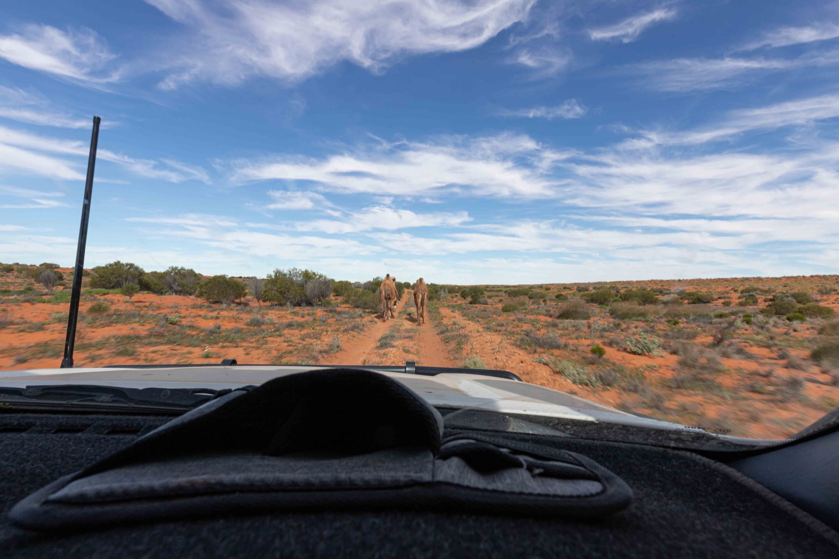
Camels on the Colson Track and reaching the WAA Line
Just when we thought the surprises were finished, three camels appeared in front of us, creating an unexpected yet amusing obstacle.
Two of the camels peeled off quickly, but the third chose to run straight down the track. For nearly 10km, we trailed behind our new companion, its gangly legs moving rhythmically in a comical bounce as it trotted ahead of us. Finally, after what felt like an eternity, it veered off to the side, allowing us to accelerate and regain our momentum. With renewed energy, we pressed forward to reach the end of the Colson Track at its junction with the WAA Line.
Just 19km from the French Line, we pushed on along the Rig Road. As dusk closed in, we made camp on a scenic dune near the famous Lone Gum. It had been a day full of surprises, and as we sat under the stars swapping stories and laughs, we were reminded of just how unpredictable – and rewarding – desert travel can be.
1
History of the Colson Track and Ted Colson’s legacy
Most assume the Colson Track was named after explorer Ted Colson, but there’s a strong case it was actually named after the nearby Colson Oil Well.
The well was drilled close to where Colson passed during his 1936 expedition across the desert near the 26th parallel – the border between Queensland and South Australia. Whatever its true origin, the Colson Track is a fitting tribute to a bold explorer. It calls to today’s adventurers, offering a one-of-a-kind journey through the mesmerising heart of the Simpson Desert.
This vast and arid region showcases not only stunning natural beauty but also the legacy of those who dared to explore its uncharted territories. Each step along the Colson Track allows travellers to appreciate both the history of exploration and the arid landscape that defines this part of Australia.
In that sense, the Colson Track is more than just a line on the map – it’s a living tribute to the grit and determination of explorers like Ted Colson, inviting all who follow it to embrace the spirit of adventure and discovery that defines the outback.
1
Why drive the Colson Track in the Simpson Desert
The Colson Track offers a unique perspective on the Simpson Desert that few travellers have the opportunity to experience.
Characterised by its profound isolation, tranquillity – and absence of commercial traffic – this track is ideal for those who are yearning for an authentic desert adventure. It’s not merely about checking off the famous dunes or reaching well-known campsites, but instead immersing oneself in the vastness and stillness of this ancient land.
The colours alone are reason enough to go – vivid orange dunes set against deep cobalt skies, broken by patches of bright green spinifex. It’s a natural masterpiece. While some stretches of the track may feel repetitive, the real reward lies in the experience. Out here, solitude invites reflection, the landscape reveals its quiet beauty slowly, and there’s a deep satisfaction in following the tracks of those who came before – a connection to the desert’s rich, enduring story.
1
Whether you’re chasing the story of Ted Colson or just looking for a lesser-travelled route through the Simpson, the Colson Track delivers a true outback adventure. It demands patience, preparation and a healthy dose of curiosity – but what you get in return is pure desert magic.
Add the Colson Track to your bucket list if you’re after something different to the well-worn French Line or QAA. This isn’t just a route – it’s a journey where the destination is a deeper connection to country, and to the legacy of those who first dared to cross it.
Essential travel info
- Starting point: Old Andado Station, NT
- End point: Rig Road, SA
- Distance covered: 450km
- Duration: 2–3 days recommended
- Best time to go: April to September
- Track rating: Easy
Permits required
- NT Parks Pass – Mac Clark Conservation Reserve: nt.gov.au/parks/parks-pass
- SA Desert Parks Pass: parks.sa.gov.au/book-and-pay/desert-parks-pass
- •Central Land Council Permit – Madigan Line & Colson Track: clc.org.au
Recommended gear
- Long-range fuel tanks (no fuel for hundreds of km)
- Satellite phone or HF radio
- Sand flag
- Air compressor and recovery gear
- Detailed maps (Hema HX2 or paper backup)
- Minimum two vehicles (travel in convoy)
- Firewood and all water/supplies – no facilities along the route
MORE
NT travel yarns!
Follow 4X4 Australia on Google
Get more 4x4 news, reviews and gear stories from 4X4 Australia in your Google feeds.

We recommend
-
 Explore NT
The Red Centre: 4x4 journey to the centre of Australia
The Red Centre presents countless adventures for 4WD tourers
-
 Explore NT
Visiting Garig Gunak Barlu National Park (Cobourg Peninsula) – Everything you need to know
Perched at the northernmost tip of the NT mainland, this park rewards intrepid travellers with untouched beaches and dramatic landscapes
-
 Explore NT
Tackling the Finke River 4WD route
This route offers an exciting journey through the Finke Gorge National Park, showcasing stunning desert landscapes