Explore NSW

Gallery 1
The New England group of the Gondwana Rainforests, just a couple of hours from Armidale in NSW, is home to spectacular landforms, ancient forests and remote tracks waiting to be explored.
With rugged terrain, waterfalls, scenic lookouts and plenty of opportunities for 4WD touring, it’s one of the region’s standout adventure destinations. From mist-covered escarpments and basalt peaks to isolated river camps and winding forest roads, the region offers a mix of challenging drives, short walks and quiet camping spots. This trip takes in some of the highlights, including Ebor Falls, Cathedral Rock, Point Lookout and the remote reaches of the Chandler River.
1
Ancient landscapes shaped by Gondwana and volcanoes
I started my journey at Ebor and, like most travellers, stopped at the upper Ebor Falls to stretch the legs and check out the new viewing deck, built after the last one was destroyed by fire.
NPWS (↗) has been busy here, installing new facilities and walking tracks to town and down to the lower falls. After the water drops over the two falls, it flows into the rugged Guy Fawkes area and eventually into the Clarence River system that runs past Grafton.
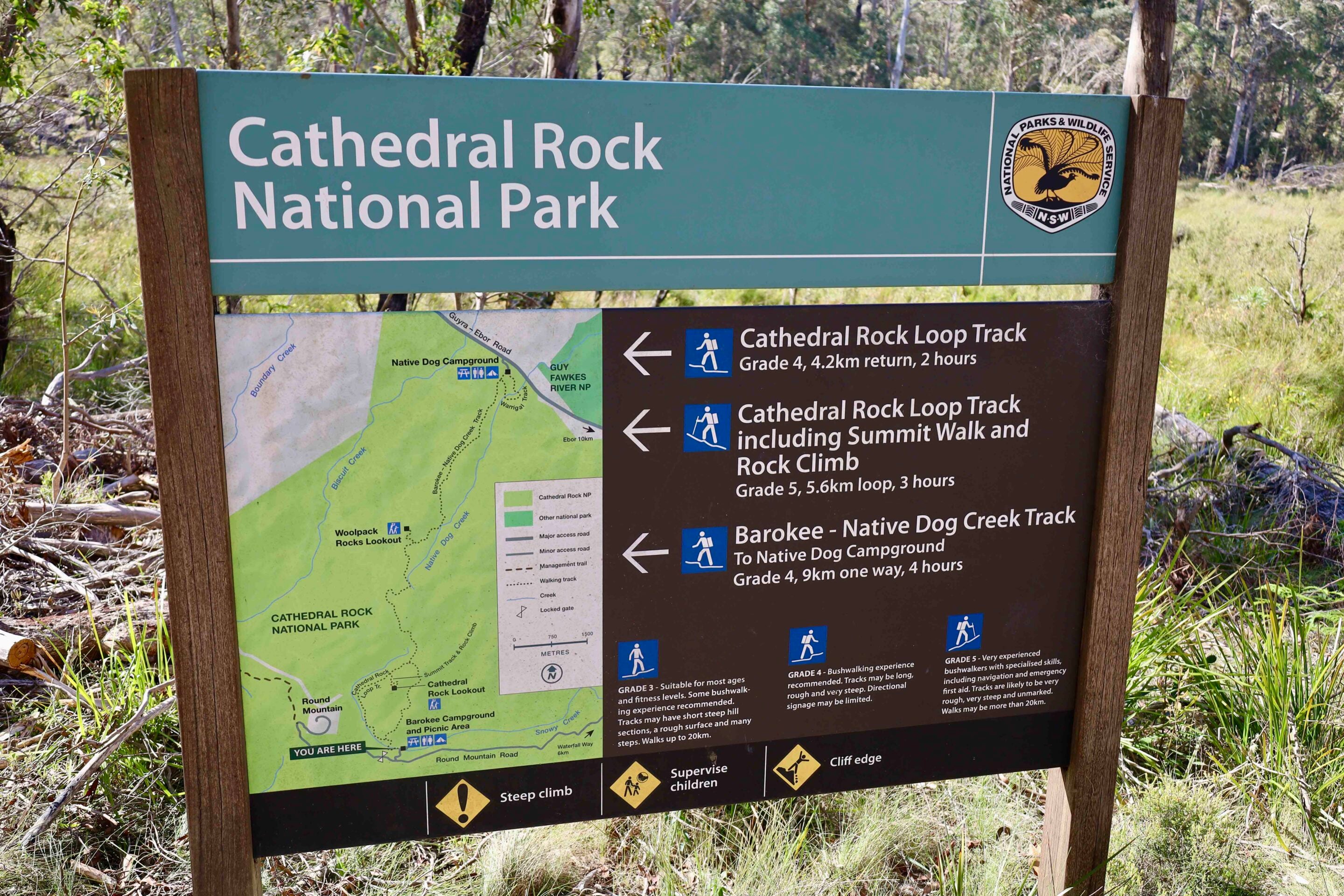
My campsite for the night was a short drive away at Cathedral Rock National Park, where I also planned to hike to the top of the massive rock formation. For most people, it’s a medium hike to the rock base, then a hard scramble – including a chain-assisted section – to reach the summit. The 360-degree views are next level, taking in farmland, forest and surrounding rock formations.
This basalt formation was created about 270 million years ago below the earth’s surface, later pushed upward by volcanic activity from nearby dykes and the Ebor Volcano, with weathering exposing what we see today. While there are no handrails or barriers to spoil the view, it can be daunting scrambling across the top or descending – take it easy and you’ll get back to camp safely.
I’ve camped here before and found the nights almost eerily quiet, but as soon as the sun breaks the horizon it becomes a birdlover’s paradise. The noticeboard notes more than 200 species have been recorded in the park.
1
Cathedral Rock, Ebor Falls and New England National Park highlights
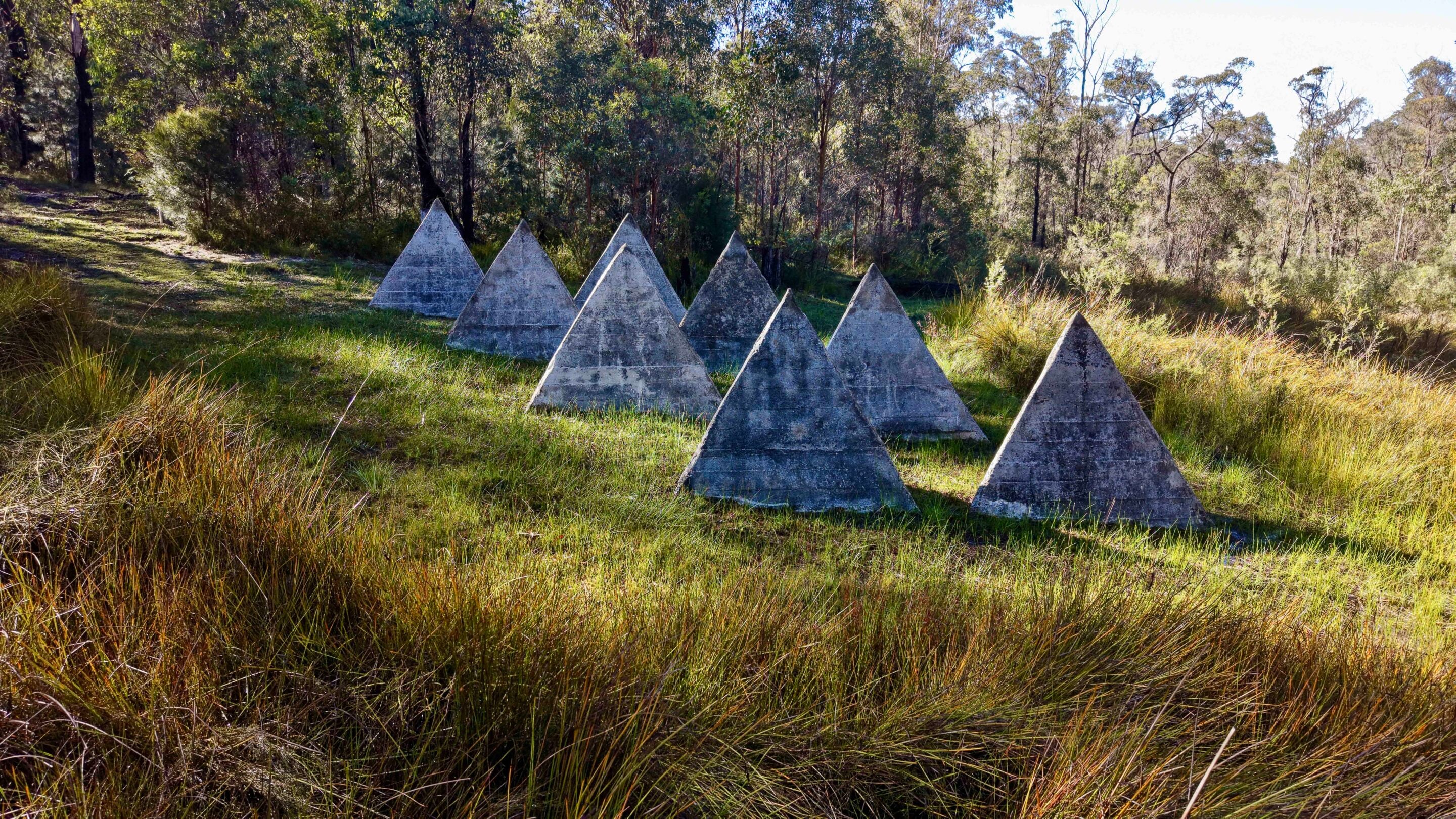
Next on my list were the Yooroonah Tank Traps, built 84 years ago during WW2.
These were part of a New England defence initiative in case of a Japanese invasion. A tunnel was cut by hand under the road, with chambers at each end designed to hold more than a tonne of explosives, to be detonated as tanks passed over. If any vehicles avoided the blast, concrete tetrahedrons and timber posts were positioned nearby as further obstacles. Today, they’re listed by the National Trust as some of the best-preserved WW2 tank traps in Australia.
With a history lesson under my belt, I headed further east to Point Lookout in New England National Park. Driving up mid-morning, mist rolled across the area and visibility became limited on the narrow road. The lookout sits on the edge of the Great Escarpment at 1563m, and it’s hit or miss whether the fog clears before midday. On a clear day, you can see the ocean 60km away, along with panoramic views across the World Heritage-listed Gondwana rainforests. From the northern lookout, you can also pick out the crescent shape of the ancient Ebor Volcano, worn down over millions of years.
Within a stone’s throw of Point Lookout are several camping areas, NPWS huts and private cottages, ideal for those wanting to explore the network of walking tracks.
Leaving New England National Park, I headed towards Cunnawarra National Park, with my next stop at Beech Lookout. Here you’ll find forest ribbon gums – some of the tallest trees in NSW – alongside Antarctic beech trees linked to the Gondwana era. The lookout peers into a gully of ancient rainforest, offering a glimpse into the past, with remnants of vegetation that once covered vast areas of the continent. These environments are important habitats supporting a wide range of rare and threatened plant and animal species.
1
Historic WW2 tank traps and scenic lookouts
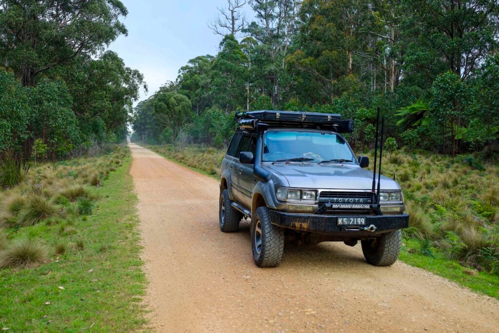
Continuing along Styx River Way, it’s a pleasant drive through old-growth forest, lined with towering tree ferns and cool-climate vegetation, with the occasional lyrebird darting across the track.
My destination was Halls Peak campground, which requires a booking and access code before arrival, but not before stopping at the old Styx River forestry camp. Long retired and showing signs of vandalism, the remaining buildings and workshop ruins offer a glimpse into what was once a busy operation.
There’s free camping nearby along the Styx River, including Pantons Point, Hyatts and Wattle Flat. These sites operate on a first-in basis and can get busy during warmer months.
1
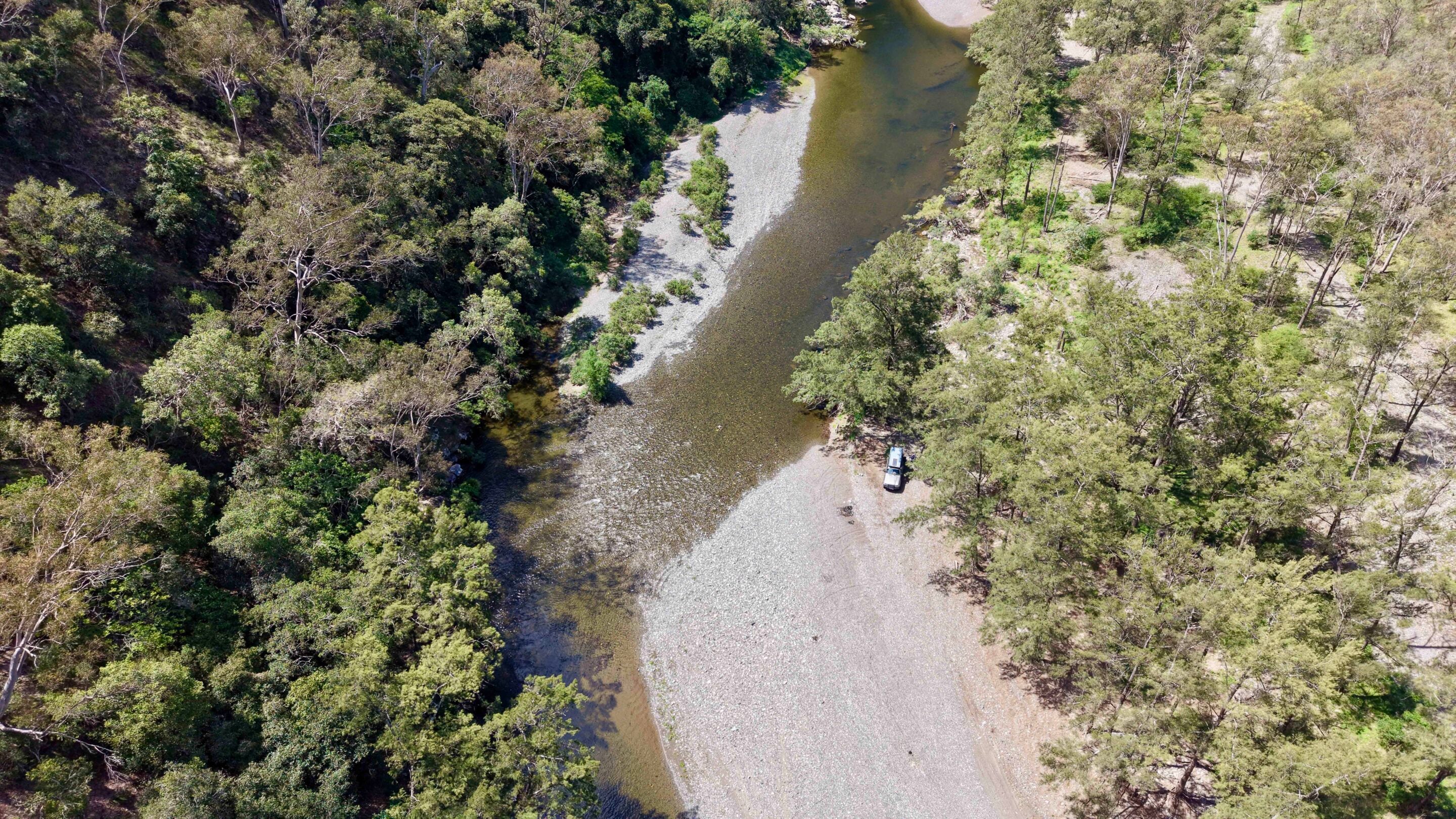
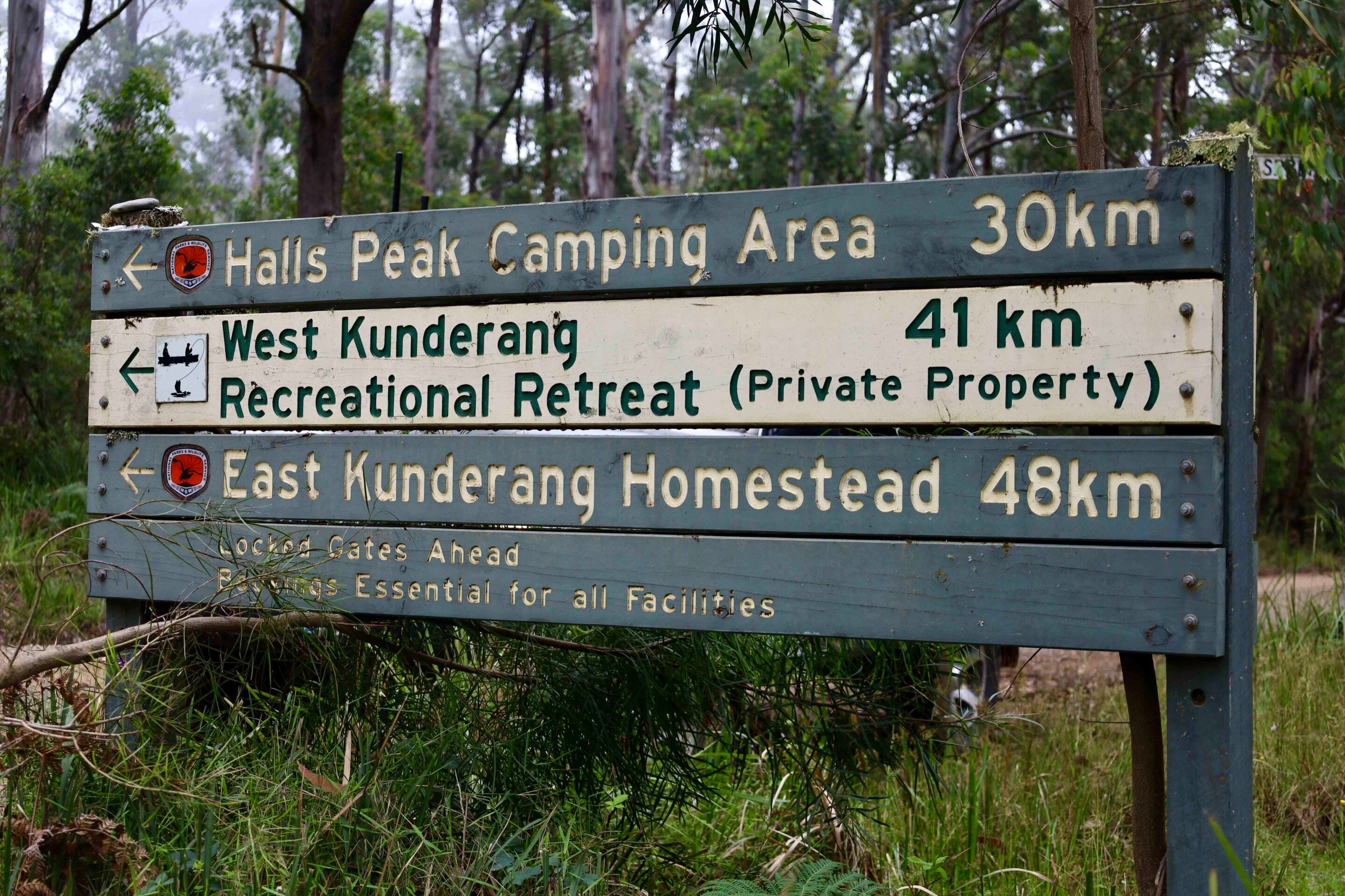
Not far from the huts is the turn-off to Halls Peak campground via Raspberry Road. This spot had been on my radar for some time, offering access to the Chandler River – but you’ll need to book ahead, as there’s next to no phone service in the area.
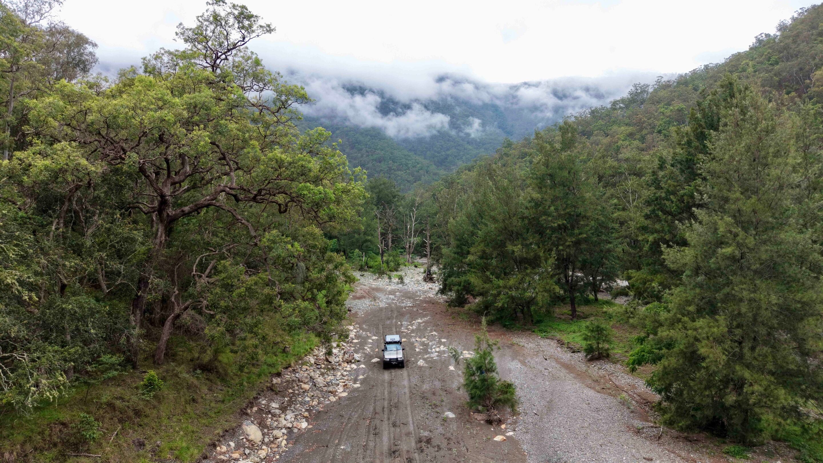
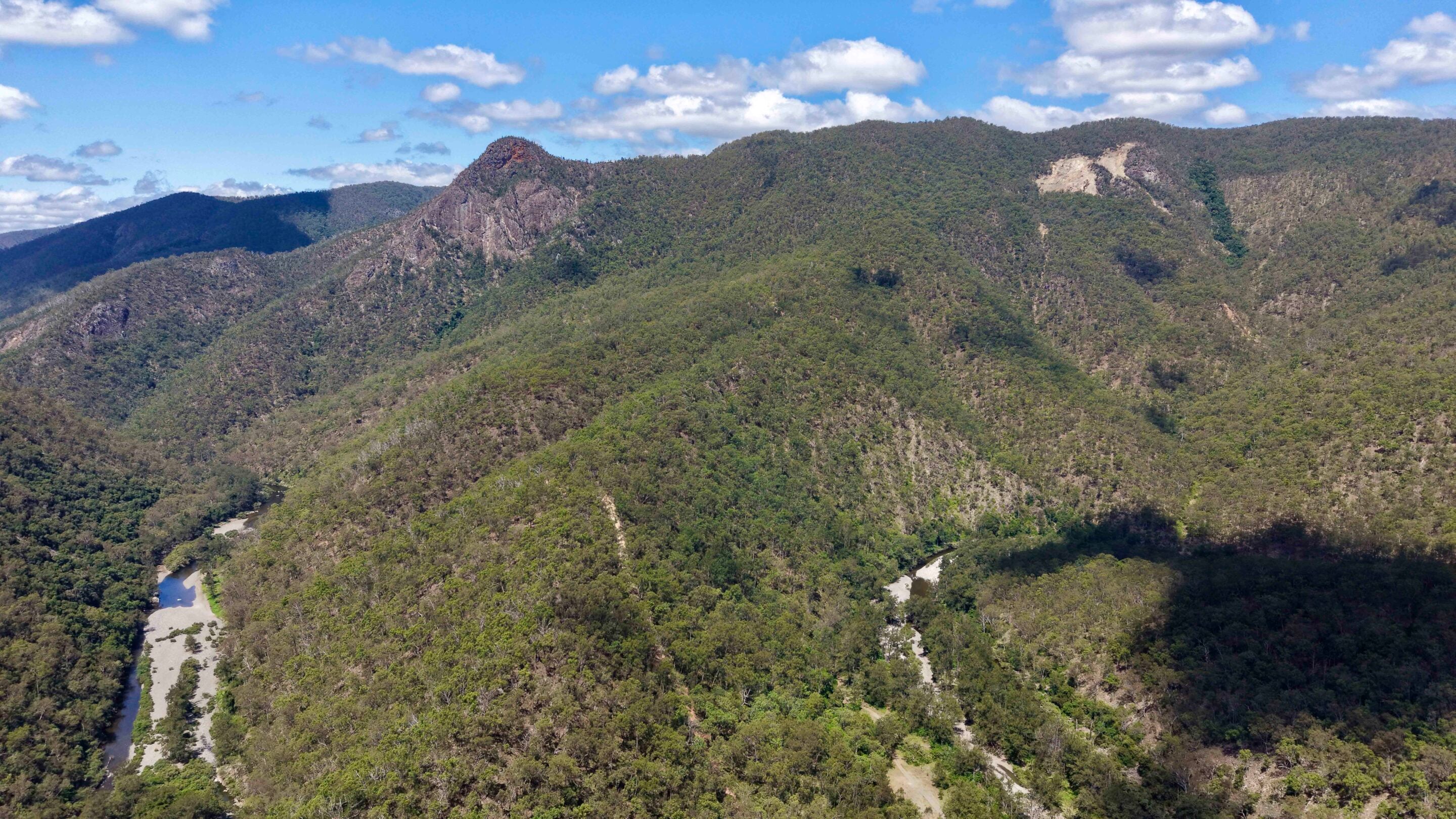
The drive past the gate is a steep 2.4km descent into the gorge, and it’s hard to keep your eyes on the track with the views unfolding around you. The campground sits beneath the imposing Halls Peak, visible from both the track and riverside campsites. It’s a massive rocky outcrop marked by mineral deposits from early volcanic activity.
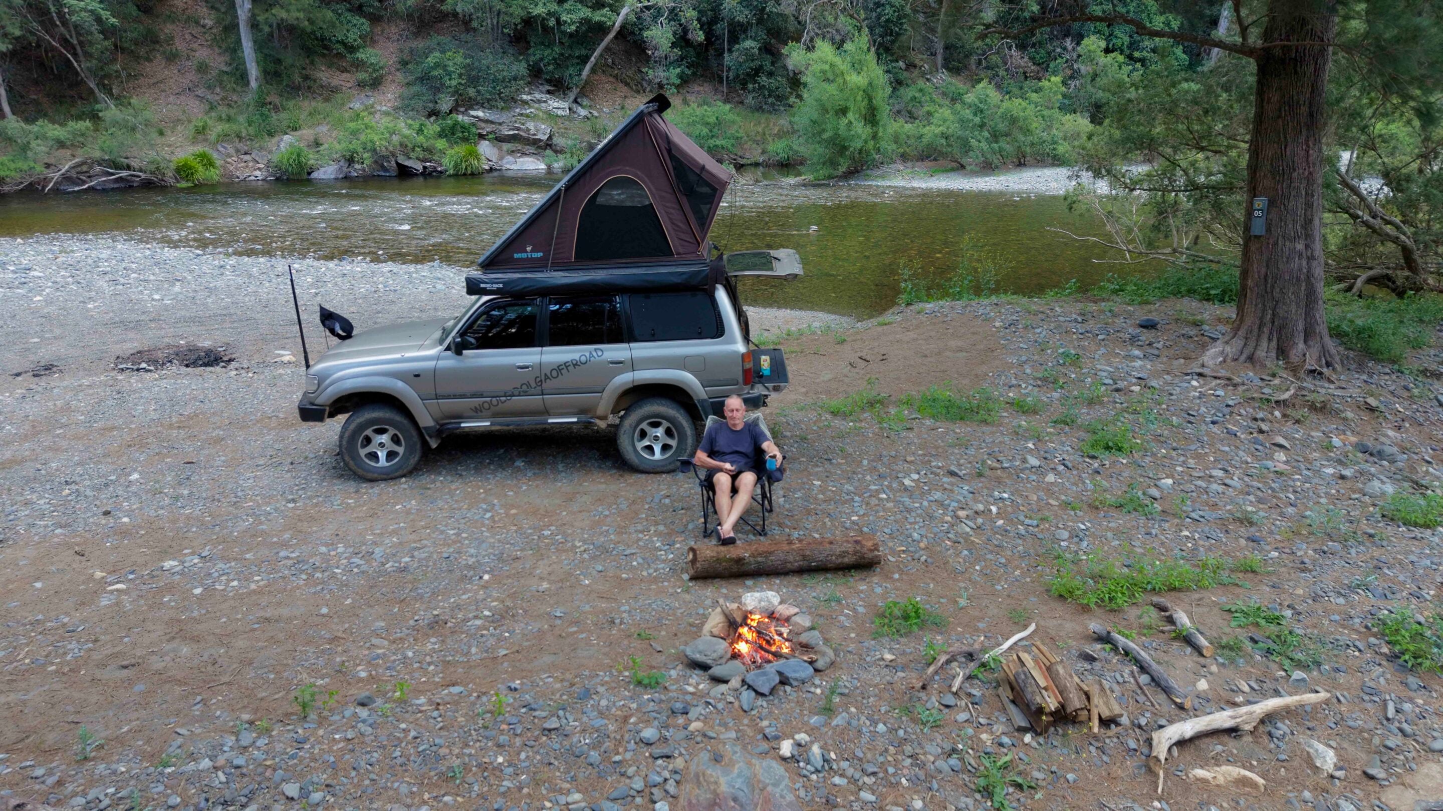
Across the gorge, the old Halls Peak mine scars the mountainside. Various minerals were extracted here for many years, but the site is now closed, with rehabilitation works underway to stabilise the area. There are 13 individual campsites, some perched on grassy banks, others – like the one I scored – just metres from the water’s edge. NPWS advises campers to keep an eye on rising river levels.
1
Camping in Oxley Wild Rivers NP, and the Chandler River
This is one of the hidden gems of the New England region, with limited access beyond the gate keeping visitor numbers low.
The Chandler River flows into the Macleay River and continues for several hundred kilometres to the ocean near South West Rocks. It’s an important tributary, filtering through ancient gorges and creating a pristine ecosystem with clear water and clean air supporting a rich mix of flora and fauna.
Standing beside the river, surrounded by towering cliffs and rugged ridgelines, it’s easy to feel isolated and appreciate the scale of what millions of years of weathering has created.
15
For thousands of years, the Anaiwan and Thunghutti people lived in this region, using the river for food and as a pathway linking the coast to the tablelands. European exploration followed, with surveyor John Oxley noting the area in 1813, describing it as “lost in astonishment at the sight of this natural sublimity, which is perhaps scarcely to be exceeded in any part of the eastern world”.
Oxley Wild National Park features more than 500km of wild and scenic rivers, over a dozen major waterfalls, and is a biodiverse hotspot for endangered plants and animals. As part of the Gondwana Rainforests of Australia, now World Heritage-listed, it remains a remarkable place to explore and camp.
FAQs: Visiting Oxley Wild Rivers National Park
Q: Where is Oxley Wild Rivers National Park?
A: Oxley Wild Rivers National Park is part of the Gondwana Rainforests World Heritage area, which extends from south-east Queensland to the Hunter region of NSW. This journey explores the New England group, located east of Armidale in northern NSW.
Q: What can you do in Oxley Wild Rivers National Park?
A: Visitors can explore Gondwana rainforests by vehicle or on foot, visit waterfalls and WW2 historical sites, camp in remote locations, and tackle a range of 4WD tracks. The Bicentennial Trail also passes through the New England region, offering opportunities for remote horse riding.
Q: Can you go 4WDing in Oxley Wild Rivers National Park?
A: Yes. Four-wheel driving is permitted in both national parks and surrounding state forests, with tracks ranging in difficulty depending on conditions and location.
Q: When is the best time to visit Oxley Wild Rivers National Park?
A: The parks are open for most of the year, but elevations of around 1000 metres mean cold winters, hot summers and unpredictable storms. Late spring and mid autumn are generally the best times to visit.
Q: Do you need to book camping?
A: Yes. Camping at Cathedral Rock and Halls Peak campgrounds must be booked in advance.
Q: Where can I find more information?
A: For park information, camping bookings and alerts, visit the NSW National Parks website (↗). More information about the Yooroonah Tank Traps is available through the National Trust (↗).
MORE
NSW travel yarns!
Follow 4X4 Australia on Google
Get more 4x4 news, reviews and gear stories from 4X4 Australia in your Google feeds.


We recommend
-
 Explore NSW
A 4x4 guide to Walcha in the New England High Country
Hit the 4x4 tracks, chase waterfalls, and lose yourself in Walcha’s wild High Country
-
 Explore NSW
Crowdy Bay National Park is a hidden gem for 4x4ing
From headland lookouts and beachside camps to quiet forest tracks, Crowdy Bay National Park rewards those who slow down and explore
-
 Explore NSW
Following Sturt’s footsteps: A 4x4 journey from NSW to South Australia
Retrace Charles Sturt’s 1829-30 expedition along the Murrumbidgee and Murray rivers on a modern 4x4 adventure