Explore NSW
Gallery 1
At 1472km, the Darling is the third longest river in Australia and a visit here had been on my bucket list for some time.
The Darling had all but dried up in 2019 but recent record-breaking rains have now brought life back to the river. After several months of delays due to rain events and floods, the roads finally opened and we had a clear forecast, so we decided to chance it.
Long run to the river
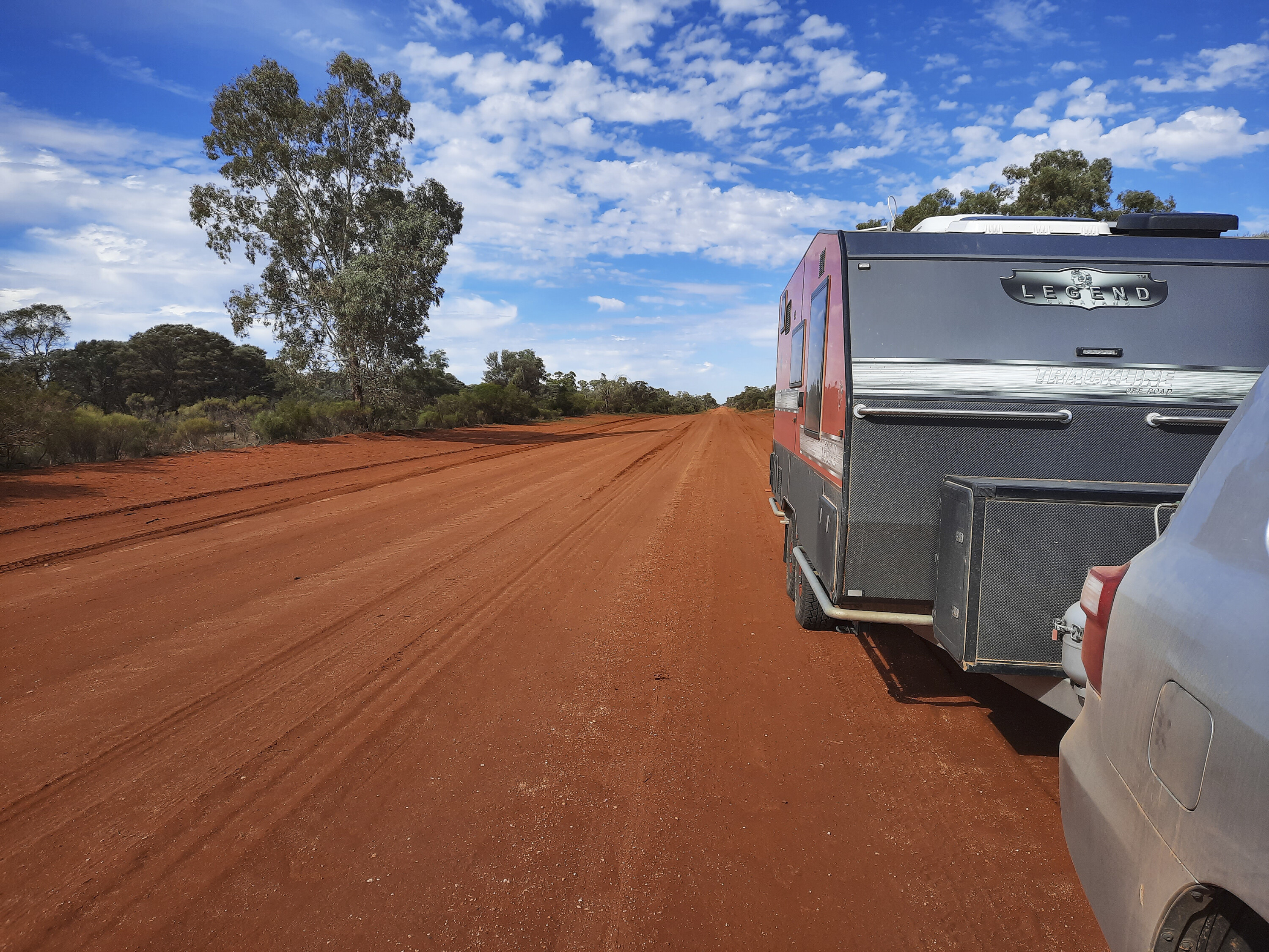
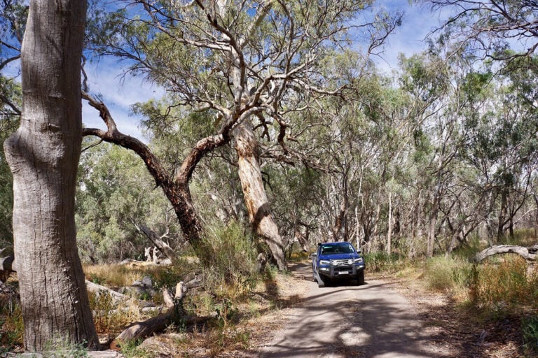
From Melbourne we took a 4000km scenic route north via South Australia’s Flinders Ranges to Innamincka before looping through Queensland to pick up the Darling at Bourke in NSW.
The Lyndhurst pub stands at the start of the 470km Strzelecki Track to Innamincka. When we arrived there were a few trucks and 4x4s stopped at the pub and even at 10.30am there were several hardy souls sinking a few early ales. The collective opinion of the bar was that the Strzelecki was its usual self – a mixture of the good, the bad and the ugly. Overall, it wasn’t a bad run apart from the ‘ugly’ sections, which were teeth-rattlingly corrugated.
1
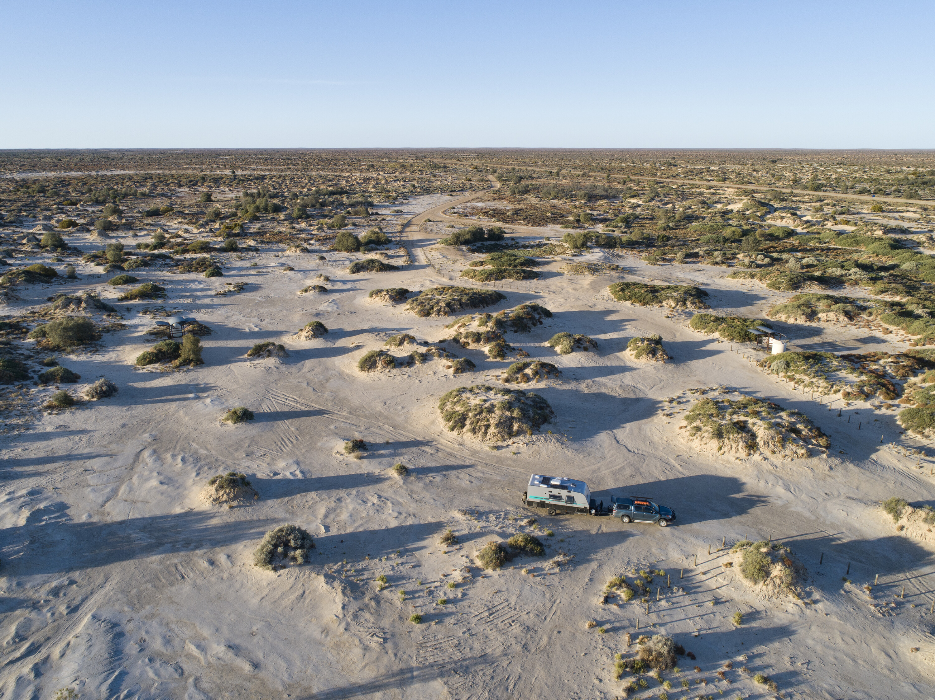
We overnighted at Montecollina Bore, which was deserted apart from one other van. Regrettably, this remote bore is no more, having been capped as a cheaper option than maintaining it.
Continuing north, a smattering of wildflowers could be seen along the road verge, spurred into life by recent rainfalls. Not exactly a kaleidoscope of colour but cheerful paper daisies and yellow flowering native shrubs brightened up the otherwise drab landscape.
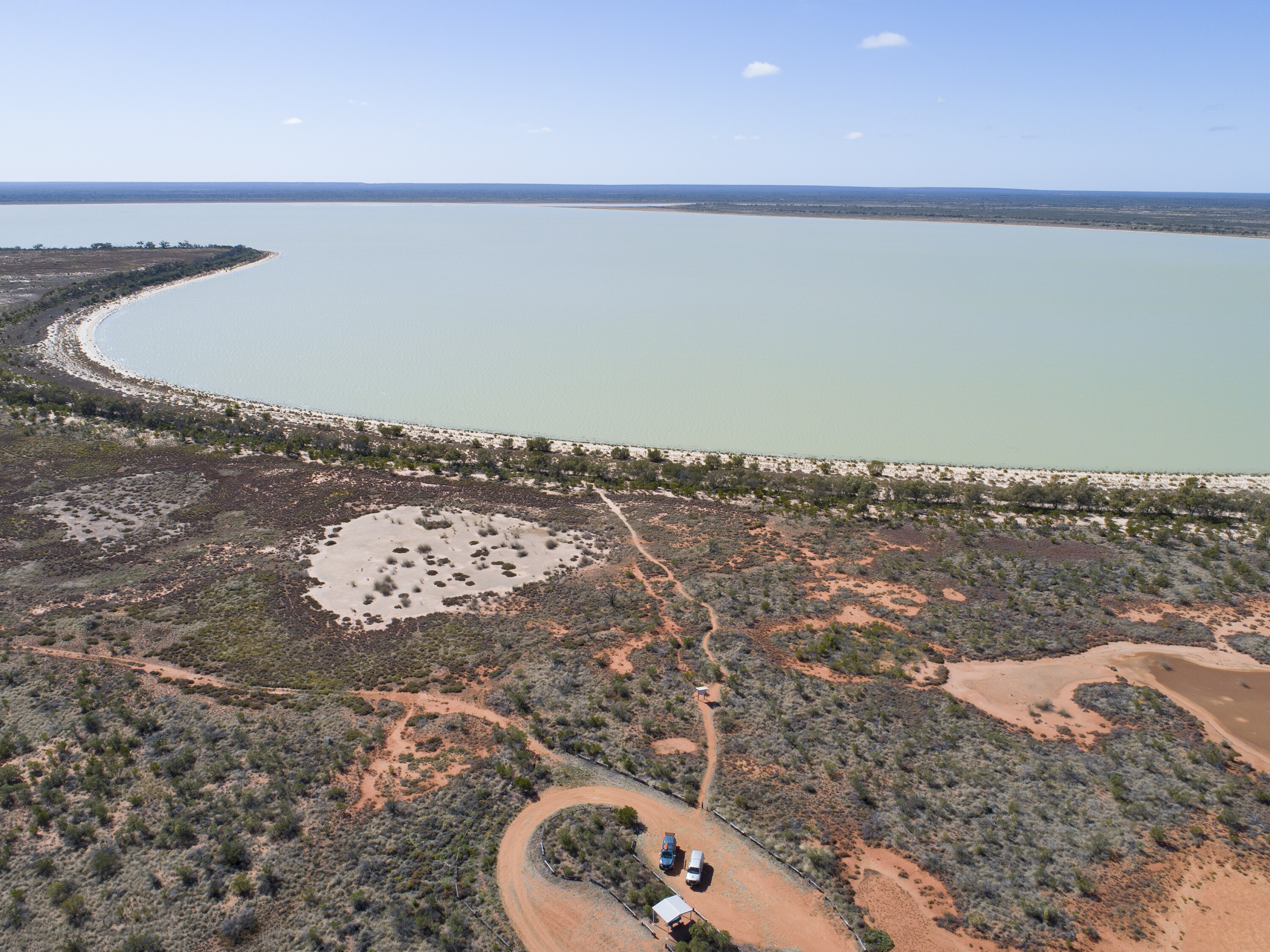
After a night on the banks of a very full Cooper Creek at the Innamincka Common, it was onto the Noccundra waterhole over the border in Queensland. The campground is right on the edge of this large body of water and with scattered shade and the historic 1800s Noccundra pub just a short walk away, it is an idyllic spot.
Much of southwest Queensland is best described in the Australian vernacular, “There’s bugger-all out there!” Flat and treeless with patches of gibber, in places you swear you can see the curvature of the earth on the horizon (but you can’t, I’ve been told).


While ‘lush’ isn’t a word normally associated with this seemingly godforsaken part of Australia, the recent rains meant there was a tinge of green and even the occasional wildflower to be seen on the roadside.
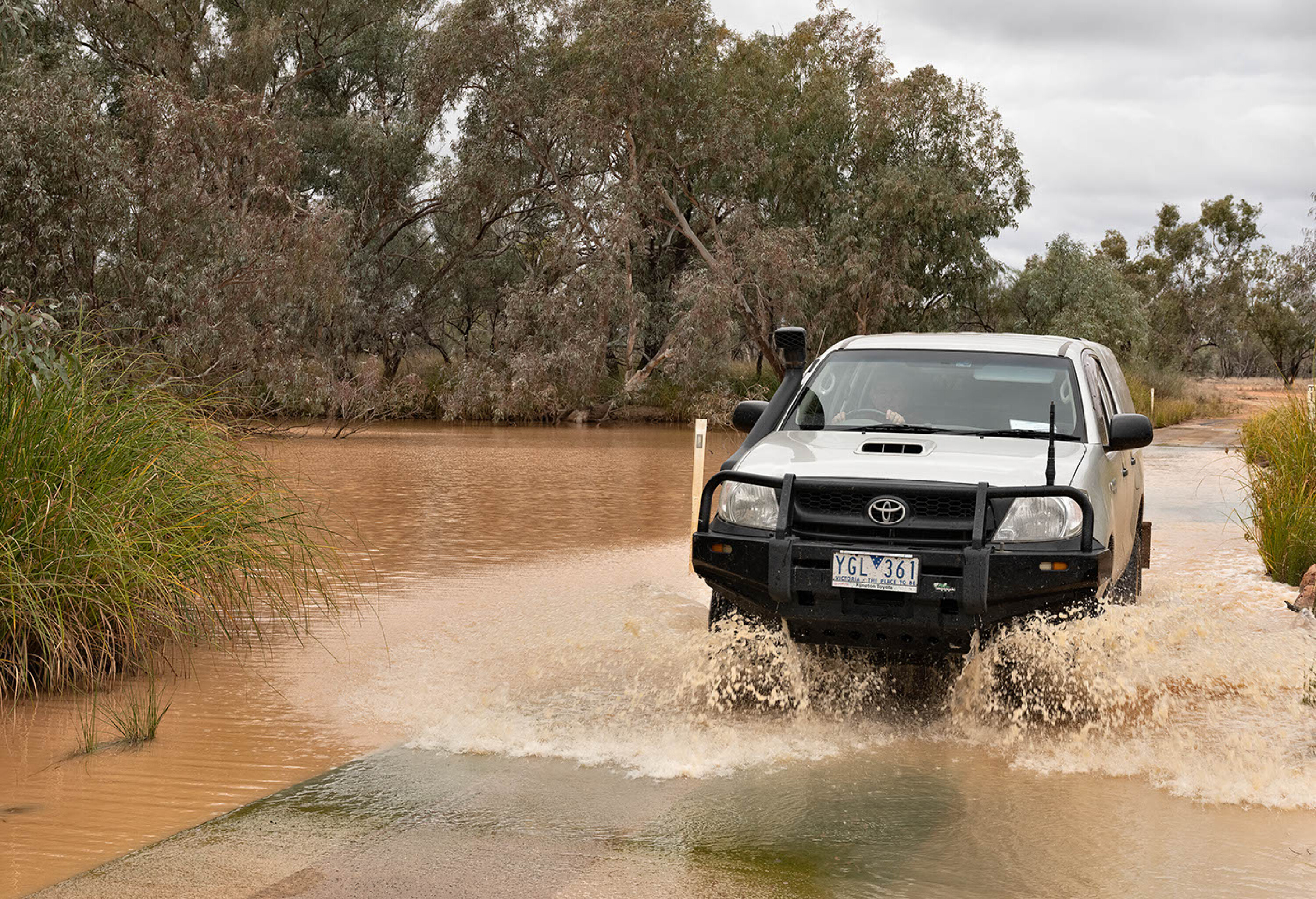
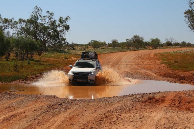
The road from Innamincka to Thargomindah is now sealed, but in places that means a centre strip of bitumen which some road trains seem very reluctant to share, so when you see one coming your way don’t put up a fight for the real estate. With steep drainage culverts either side of the road it can be a bit of a nightmare when towing, especially if one of these big rigs appears over a crest without much warning.
From Thargomindah we headed south towards Hungerford on the NSW border. Hungerford has more houses than people and from a peak population of about 100 early last century, today only six souls remain. Life in the town revolves around the Royal Mail Hotel. Little changed from when it was built in 1873, the pub is still serving meals and quenching the thirst of locals, plus a steady stream of Grey Nomads.
We were puzzled by a sign requiring guests to close the entrance gate to Hungerford’s small campground behind them – until being told it was to keep the wild pigs out! While we hadn’t seen any sign of pigs, the very next day in the adjoining Currawinya National Park we rounded a corner only to come face to face with a large porker.
1
Currawinya is one of Australia’s most important inland water-bird habitats, and one of only five Ramsar listed sites in Queensland. With red sandy plains and mulga scrub, it is hardly a place you would expect to be a mecca for water birds. However, the scrub hides a network of lakes (both fresh and saltwater) as well as active artesian springs.
The ruins of the old Currawinya and Caiwarro stations lie within the Park. The latter covered a million acres when it was established in the 1880s. At its peak it employed more than 100 workers and ran 60,000 sheep before succumbing to drought last century. In the west of the park the old Boorara shearing shed is another bit of pioneering history worth visiting.
Currawinya is one of Australia’s most important inland water-bird habitats
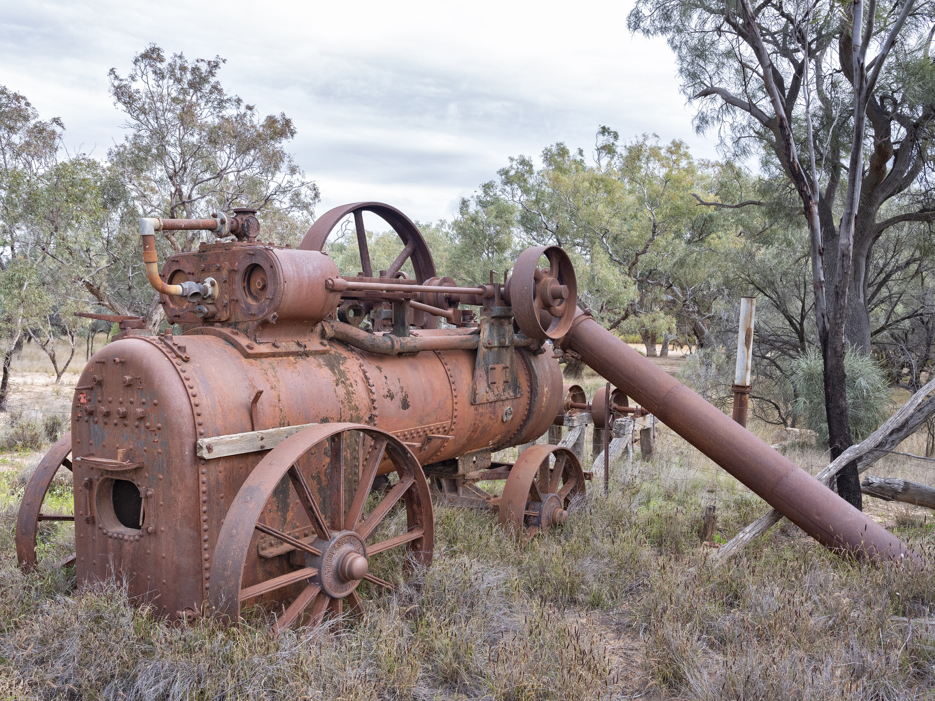
The Park offers a range of bush campsites, such as Pump Hole on the Paroo River. Right on the water’s edge under a canopy of large trees with a view to die for, the location’s name dates from when an old steam-driven pump (the rusty ruins of which still remain) drew water from here for the station property.
Hungerford’s southern exit is a gate in the 5614km dog-proof fence. Originally erected in the 1880s to protect southern sheep flocks from dingo predation, the dog fence is one of the longest man-made structures in the world.
Once through the gate and heading towards Bourke, we noticed an increase in the density of the roadside bush, and the countryside had a far more lush and fertile appearance than what we had left behind in Queensland.
Oh my Darling
Bourke is a town with more than its share of socio-economic issues and the local caravan park warns guests to ensure everything is locked away at night. I can’t remember ever having stayed in a van park previously with a perimeter fence topped with electrified barbed wire!
However, the park was exceptionally well presented with large campsites, and being very popular you need to book ahead. We didn’t, but on arriving in the early afternoon we were lucky enough to get two of the last three remaining sites.
1
Bourke provided our first view of the Darling which was very high with low-lying areas flooded. Locals suggested the road on the western side of the Darling was the most scenic proposition for the run down to Louth, a small town (population 43) perhaps best known for its pub, Shindy’s Inn.
The gravel road exhibited some damage from recent rain events and where roadworks had been undertaken; it was wide enough to land a small plane on, and stretched eye-catchingly into the distance.
Dunlop Station was originally a million-acre property but today only 2200 acres remain
The road passes through what had been Tooralie Station. Acquired by the Federal Government a few years ago it is now a National Park. The wide, treeless plains here were painted with yellow and purple wildflowers, while cheerful Darling pea flowers punctuated the roadside.
While Dunlop Station was originally a million-acre property, today only 2200 acres (890ha) remain. Compared with neighbouring Trilby Station, 320,000 acres (130,000ha) running 22,000 sheep, Dunlop probably qualifies as a hobby farm.
The present owners, the Chandler family, bought Dunlop 11 years ago as somewhere to run a few sheep and goats. The prior owners had let the place go and when the Chandlers took possession there was so much junk stored in the homestead, they could only get into two rooms.
1
There was up to a centimetre of mice droppings through the entire house and said mice had also attracted a healthy population of carpet pythons. With no running water and no working toilet, it is fair to assume the property went for a song.
In cleaning out the homestead a treasure trove of history in the form of furniture and old household equipment was uncovered. The homestead has been furnished so it appears much as it would have in years gone by and the owners conduct regular guided tours explaining the history of the property.
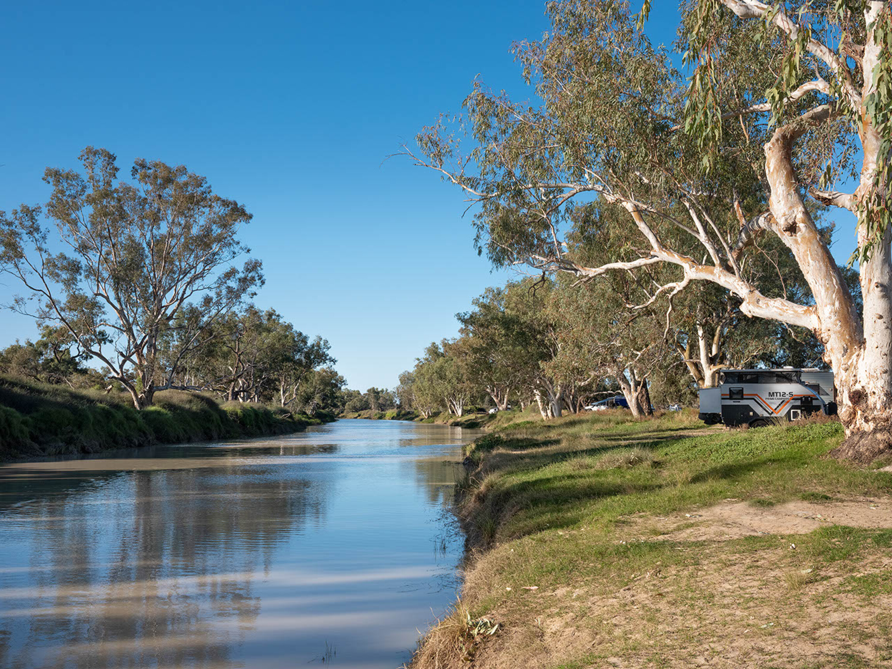
Dunlop has about 15 campsites (a couple with 240V power) that are generally situated well away from each other and, as such, are quite private. We were allocated a spot set amongst large river gums and coolabah trees on a section of Dunlop’s 5.5km of Darling River frontage.
The river was high (and rising) with a strong current clearly visible. When you consider the river was perhaps 100m wide and 10m deep, that’s a lot of water – about 40,000 megalitres a day, which is enough water to fill Sydney Harbour in less than two weeks!
In 1888 Dunlop became the first station in Australia to adopt mechanised shearing at its 45-stand shed, shearing 184,000 sheep that year
An early owner of Dunlop was Sir Samuel McCaughey who also held 14 other million-acre properties and when his estate was wound up in 1919 it was valued at £1.6M, or nearly $30m in today’s money. McCaughey embraced new technology and is credited with pioneering irrigation in the Riverina.
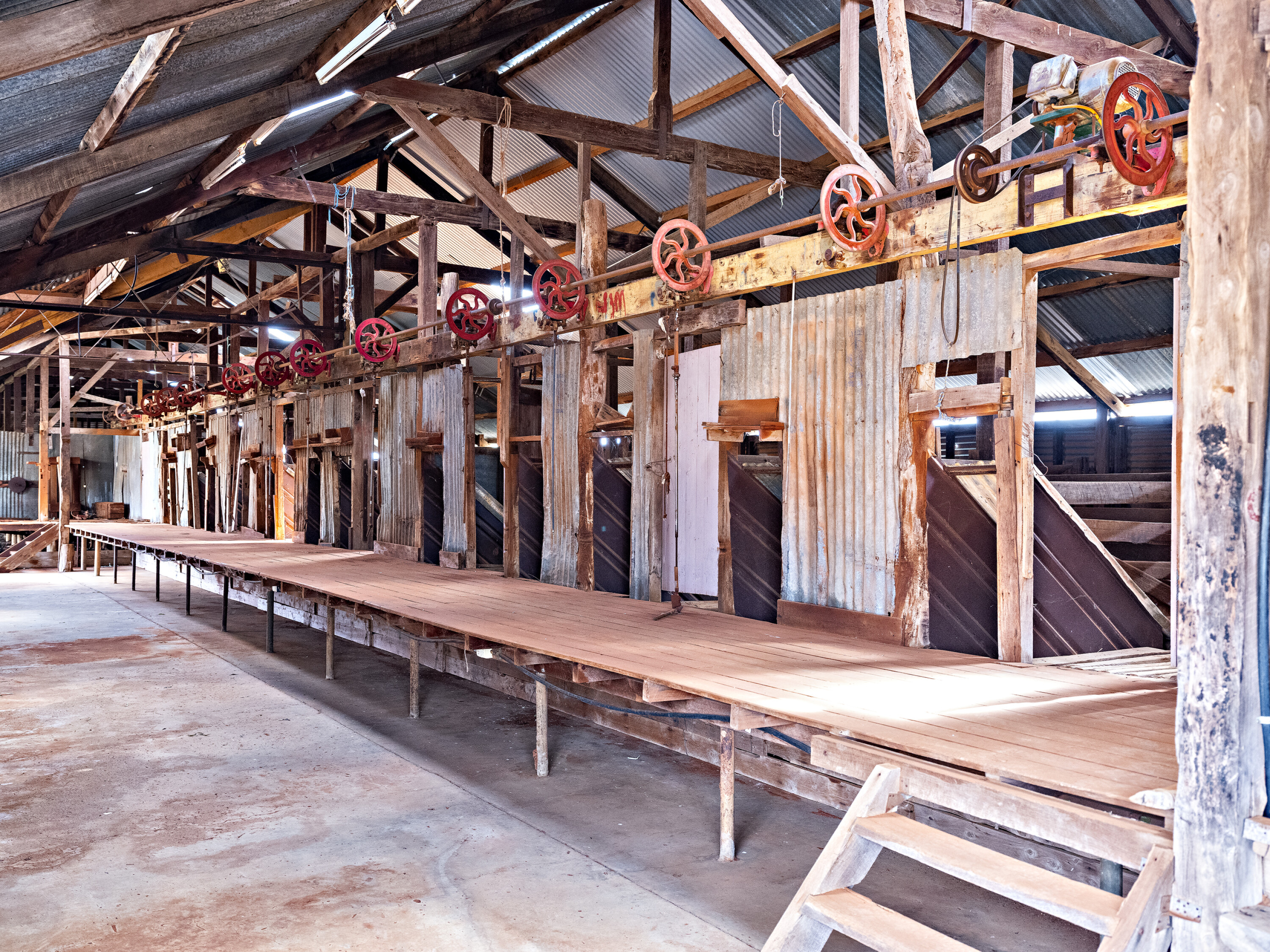
In 1888 Dunlop became the first station in Australia (and hence the world) to adopt mechanised shearing at its 45-stand shed, shearing 184,000 sheep that year. Originally built in 1865, and last used in 1993, the shearing shed still stands today.
1
Dunlop also features a storehouse built from local sandstone in 1880 which still has its original counters and shelving. A store for station workers until the 1980s, the building is now used as a museum for the historical items uncovered while cleaning up the homestead.
Careful when it’s wet
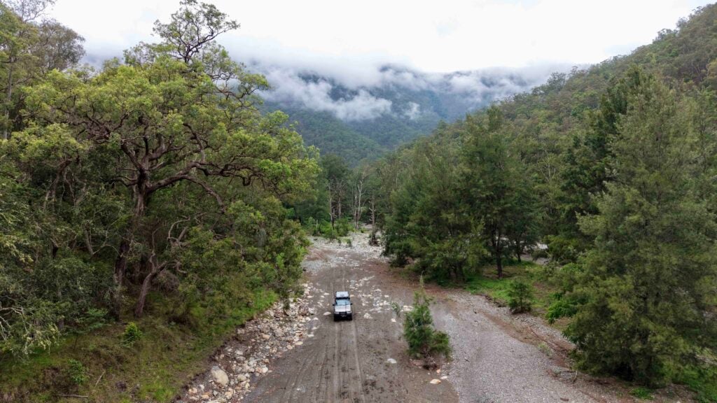
The Darling floodplain which extends for many kilometres either side of the river comprises a fine silt that turns into bottomless muck with just a small amount of rain. It looks a lot like sand but walk on it when wet and you feel yourself getting taller with every step as the mud builds up on the soles of your shoes. It also becomes exceptionally slippery, meaning no traction for your vehicle and anywhere water pools becomes a wheel-sucking boghole.
Two days into our stay at Dunlop we were told up to 20mm of rain was forecast and our choices were to wait and see if it eventuated (and risk being forced to stay put for up to a week), or head out to the bitumen towards Wilcannia.
We were planning to also spend a couple of days at Trilby Station, 20 minutes south of Dunlop, but given the threat of rain we only had time for a flying visit.
1
The property is owned by Gary and Liz Murray who are fifth-generation descendants of Irish settlers who came to the area in 1860. Trilby has 24 campsites spread out around a large billabong and along the river with powered sites and other accommodation options available near the homestead.
Whether it is peaceful river walks under the river gums and coolabah trees or trying your hand at catching yabbies, there’s plenty to see and do at Trilby. The property has a couple of self-drive tours such as Old Dunlop Farm which is 13km downstream. This property was last cropped in 1936 and a range of old farm machinery remains, simply left where it was last used all those years ago.
MORE
Darling River, NSW
1
Another drive to the old New Chum homestead is a step back in time as the building remains exactly as it was when last used in 1965, with old newspapers strewn about, books on the shelves, medicines lined up and even stores in the pantry.
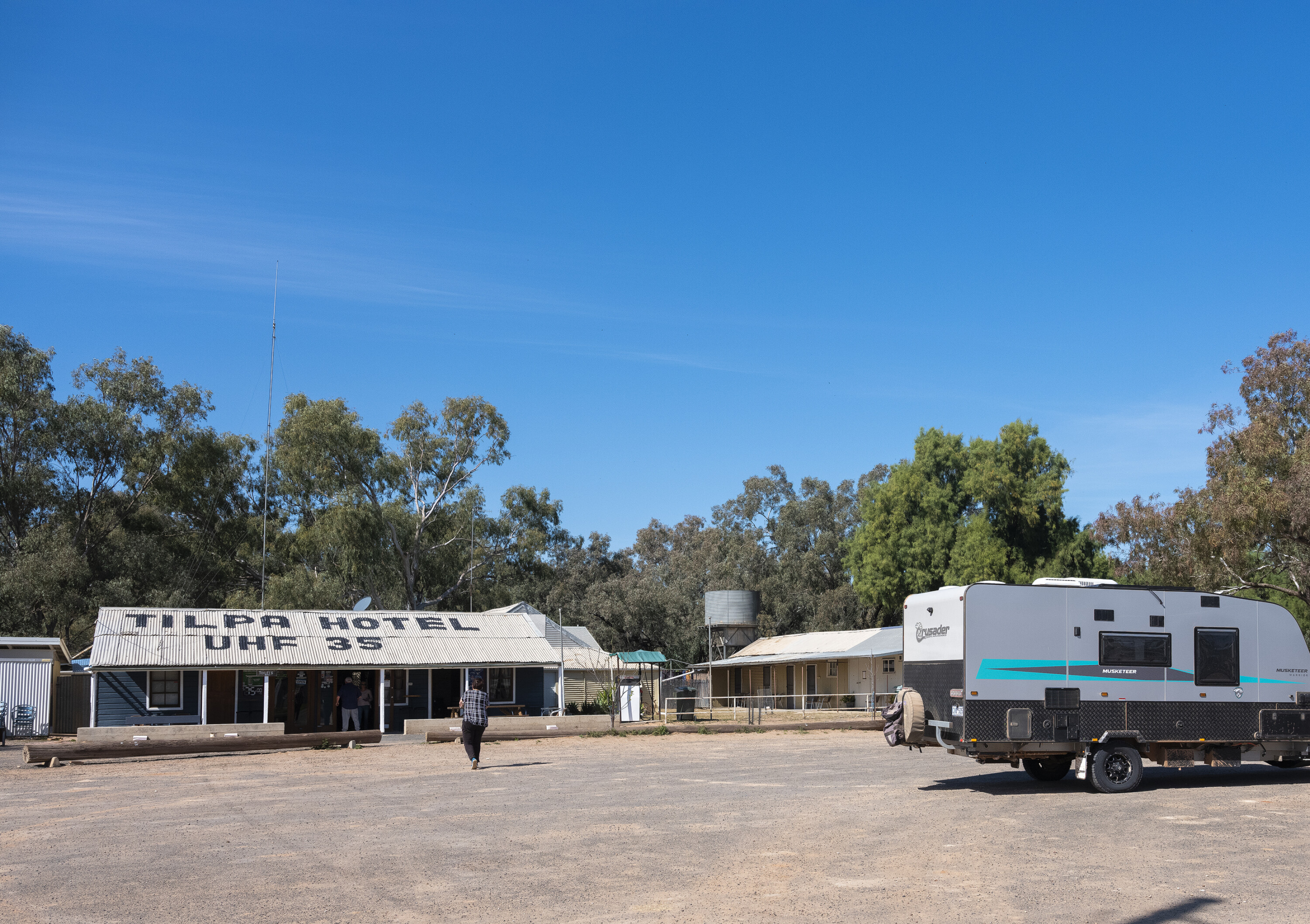
The next day was a sprint to the bitumen, stopping only for a quick beer at the historic Tilpa pub on the banks of the Darling. That night saw the mother of all electrical storms that closed our intended route, the unsealed road from Wilcannia to Menindee Lakes, necessitating a 150km detour via Broken Hill.
Room with a view
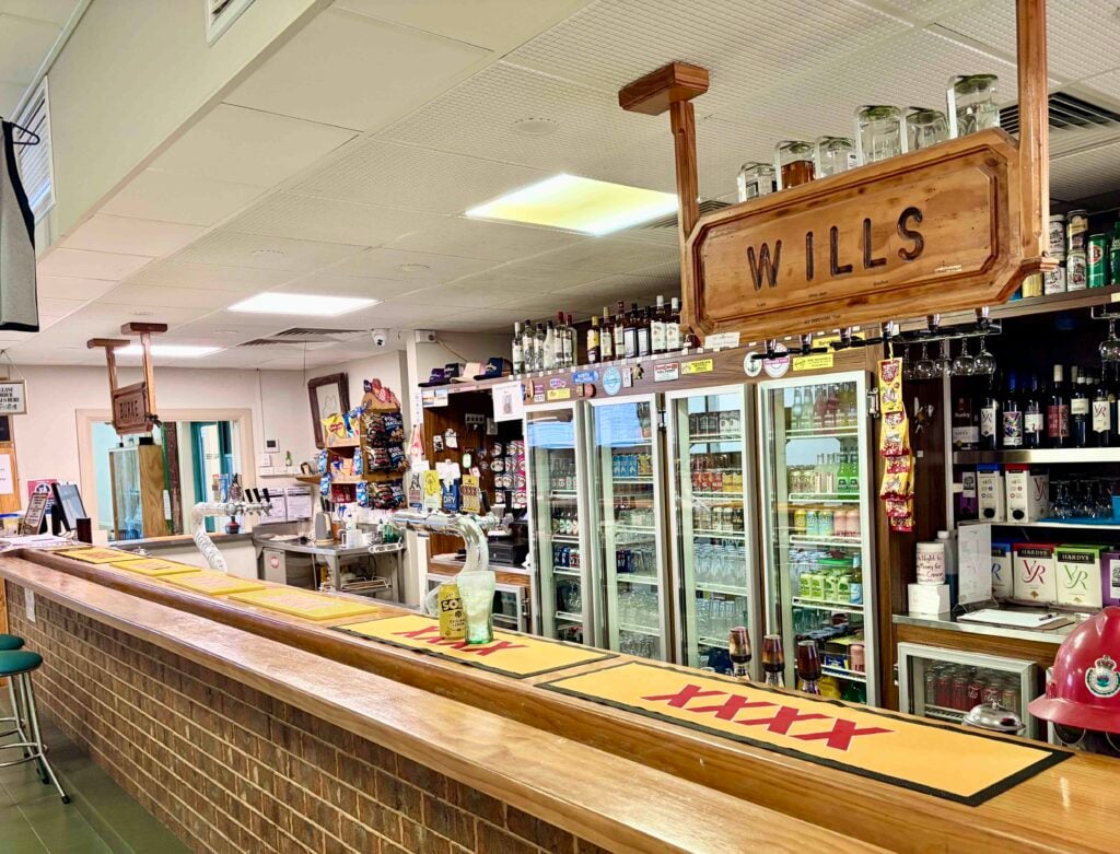
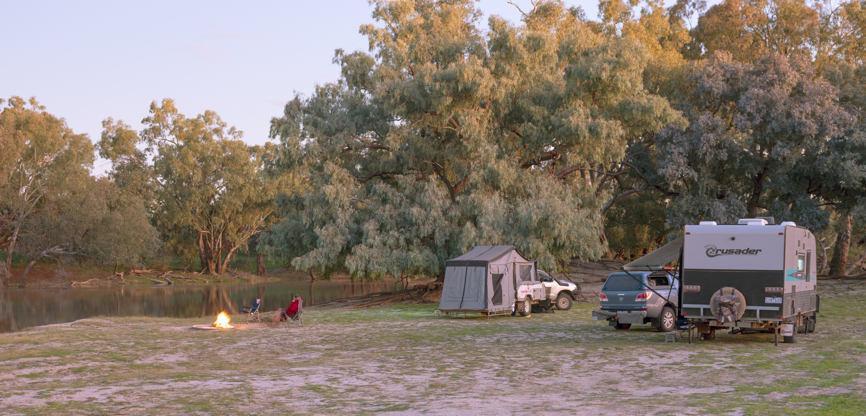
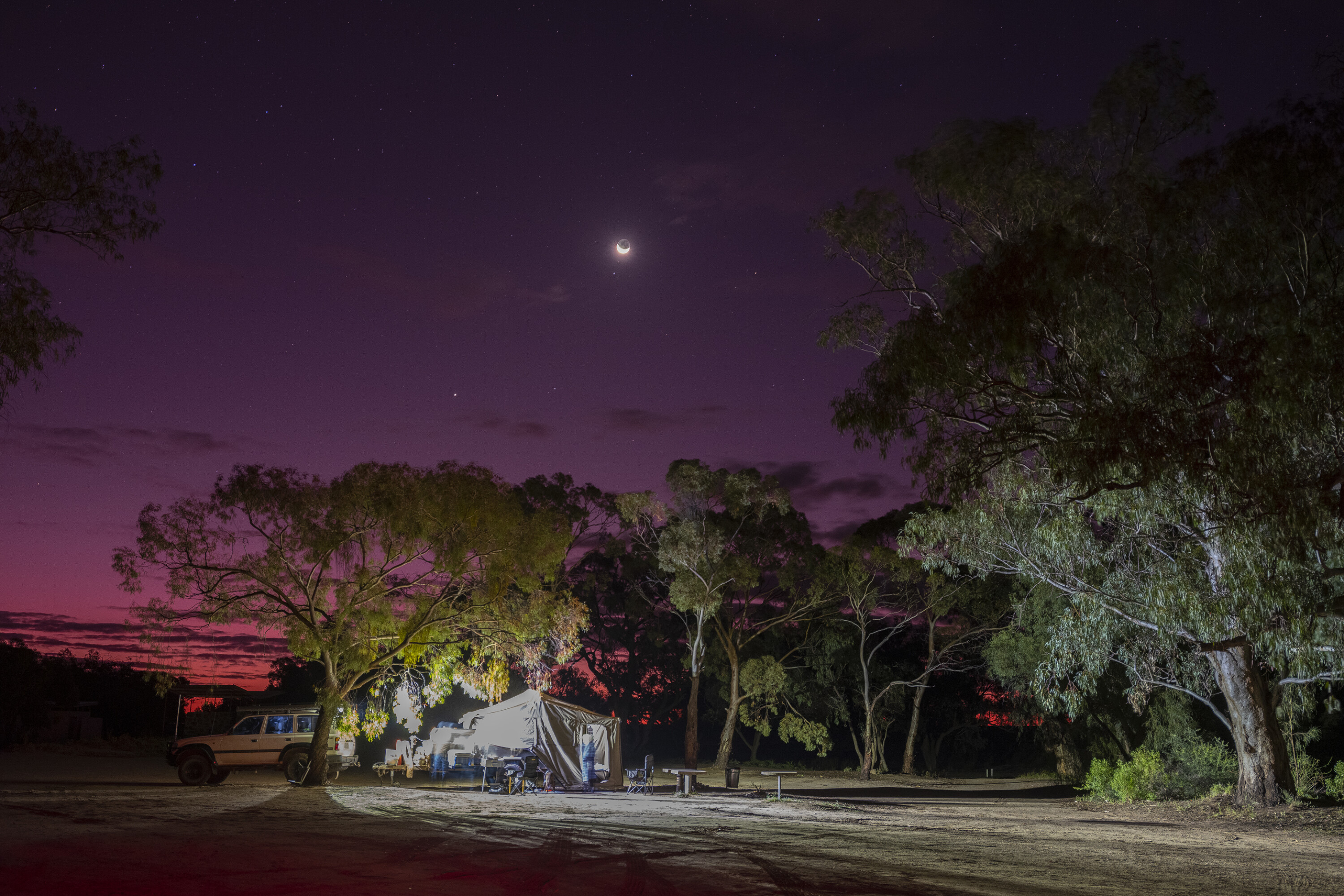
At Menindee we set up at the Burke and Wills Campground – so named because the explorers’ party camped there for three months in 1860.
While the nearby shoreline of Lake Pamamaroo had about 20 vans and campers enjoying a waterside view, our campground was all but empty. Admittedly, we didn’t have a view of the lake, but our site did overlook a section of the Darling where huge red gums stood picturesquely in the flood waters.
Herons, cormorants, spoonbills and other waterbirds plied the shallows for food, while pelicans trawled the deeper water. Kites and other birds of prey patrolled the sky, occasionally roosting in the high branches of dead trees to keep watch for any opportunity for a meal. With such an outlook, our couple of days there were amongst the highlights of our trip.
1
A day or two of warm weather saw the road to Pooncarie reopened although it was a slow trip due to roadworks. At Pooncarie, $10 a night gets you a campsite, some of which are powered, but with those all taken we squeezed into the last bush campsite along the river.
Running 10m above its normal depth of one to two metres, it wasn’t an understatement to say the river was right at our door. At best a foot below the top of the bank and with the ground sloping away on our side, the water level was perhaps only an inch or two below our tyres. I checked online just to make sure the river wasn’t rising and we were not in danger of waking up to find our van doing a passable impersonation of Noah’s ark.
Pooncarie is a popular stop and if you want power or a water view, don’t arrive late. There are plenty of level sites available in the area near the campground entrance – just no view and no campfire at your door. Pooncarrie would be a pleasant place to spend a few days, but pack the insect repellent; pools of water from the recent floods had led to an explosion in the mosquito population.
1
Travelling south from Pooncarie, on the bitumen to Wentworth, we made the obligatory trip to the junction of the Darling and the Murray. The water of the two rivers has different colouration which is clearly visible downstream from their confluence. The NSW half of the Murray is a muddy brown, courtesy of the Darling, while the Victorian side is a deeper green-grey.
With our journey down the Darling over we headed back to Melbourne via Balranald, dropping in at the old Yanga woolshed, which was our fifth historic woolshed of the trip. The Balranald caravan park, with its grassed sites on the river gum studded banks of the Murimbidgee (which was also in flood), is highly recommended.
There is so much to see along the Darling you could spend weeks taking it all in
There is so much to see along the Darling you could spend weeks taking it all in, but make sure you find that Goldilocks time to visit – when everything is just right.
Summer sees temperatures approaching 50 degrees Celcius and if there is rain around, the roads will almost certainly be closed. And, while the Darling looked fantastic when we visited, remember that until recently it has had little water flow for some years.
Five essential stops
Dunlop station history tour
The owners of Dunlop Station provide a history of the property and take guests through the homestead, old storehouse and historic shearing shed. For $20 including morning tea it is not to be missed.
Visit the monument to Mary Matthews at Louth
Mary’s husband erected an innovative monument to her memory. Over her grave a Celtic cross on a granite pillar reflects the light of the sun into the village for three minutes each day just before sunset and on the anniversary of her death (19 August) the reflected light strikes what was Mary’s home.
Trilby Station
Recharge your batteries while watching the Darling River roll by your campsite, try yabbying, take a bushwalk, or check out one of the station’s self-drive history tours.
Tilpa pub
Have a beer at this iconic watering hole and sign your name on the pub walls (or ceiling) just as many hundreds of other travellers have done before you.
Burke and Wills campsite, Lake Pamamaroo
Waterbirds abound at this free campsite. Try yabbying, fishing, or perhaps break out the camera to catch an amazing sunset over the lake.
Required equipment
Outback roads can be tough on tyres and a tyre pressure monitor will provide early warning of impending tyre failure – something that is especially important when towing. High-impact roads (like the Strzelecki Track) require lower tyre pressures.
Vertical stone guards don’t completely protect your camper or van if towing. Stones will sandblast anything below those guards and rocks can still ricochet back off the guard frame to break a rear window.
Check out a StoneStomper, which not only provides maximum protection from stones but on wet, unsealed roads also keeps most of the gunk thrown up off your wheels from being plastered to whatever you are towing.
Travelling with pets
Grazing properties like Trilby and Dunlop Stations are legally required to lay 1080 poison baits for wild dog control twice a year. While they do not bait near campsites, pets must be kept on a lead and closely supervised at all times as it is not unknown for crows to pick up and spread baits.
Follow 4X4 Australia on Google
Get more 4x4 news, reviews and gear stories from 4X4 Australia in your Google feeds.

We recommend
-
 Explore NSW
Darling River run in NSW
The Darling River run in western NSW follows the famous river, its towns, history and unique outback environments.
-
 Explore NSW
Darling River, NSW
Ronnie follows the Darling River from Bourke to its junction with the mighty Murray.
-
 Explore NSW
Best 4x4 tracks near Sydney
There's more to Sydney than an Opera House. Here are a few spectacular 4x4 destinations close to the city for weekend adventures