Explore WA

Gallery 1
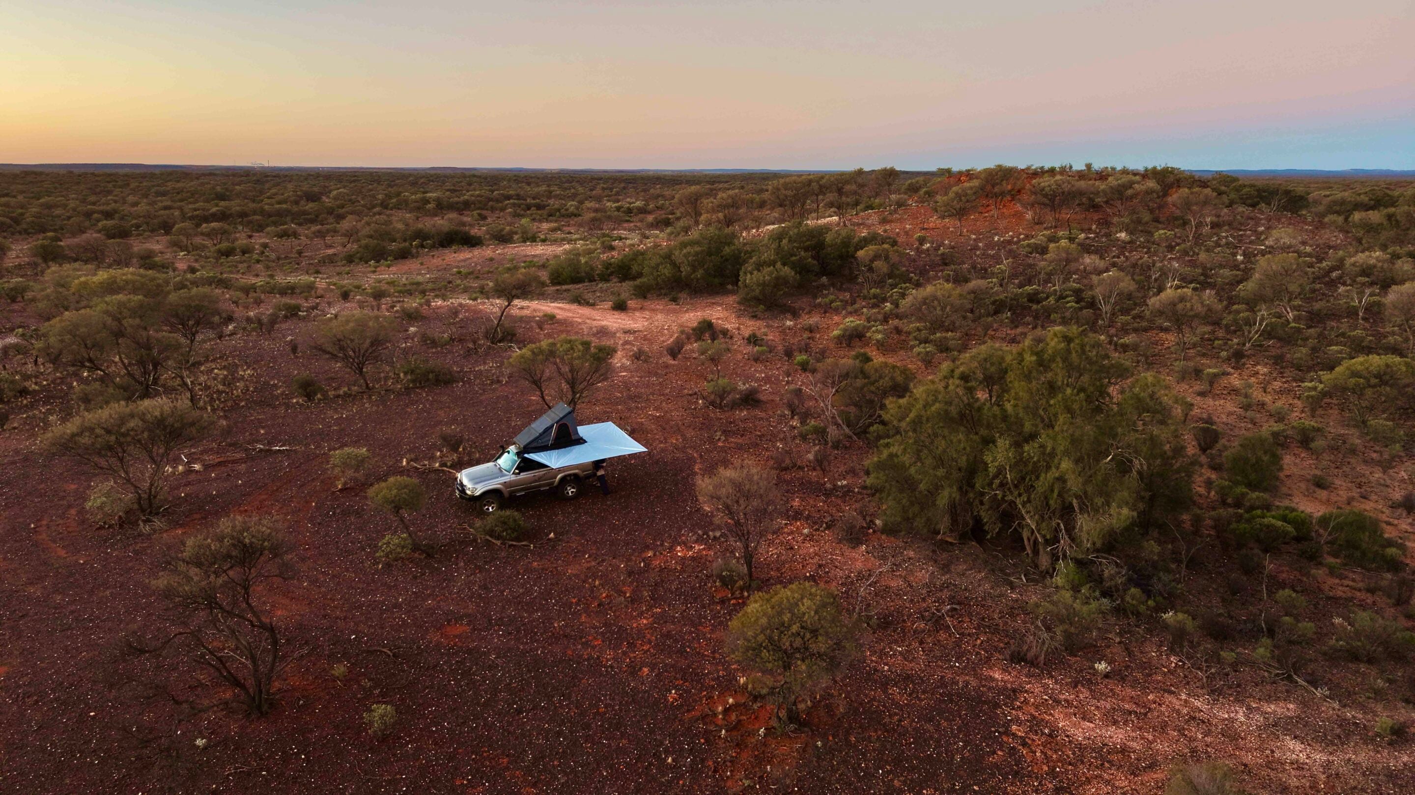
The red dust of the Pilbara does not merely settle on your skin, it gets under it, and by the time the tyres of my LandCruiser bit into the gravel of the Talawana Track, the last remnants of mobile phone reception had vanished three hours behind me.
Ahead lay Karlamilyi National Park, a place of superlative isolation, raw geographic grandeur and a cultural lineage stretching back into the deep time of the Australian continent. At more than 1.3 million hectares, Karlamilyi is the largest national park in Western Australia and arguably the most remote.
It sits between the Little Sandy and Great Sandy deserts, a vast wilderness that demands total self-sufficiency. There are no ranger stations here, no paved visitor centres, no manicured campgrounds and no safety nets. To enter Karlamilyi in a four-wheel drive is to step off the edge of the modern map and into a landscape governed by geology and the uncompromising laws of the desert.
1
Driving the Talawana Track
My journey began in Newman, the iron-ore powerhouse of the eastern Pilbara.
After a final, exhaustive check of my gear, a food shop and a top-up of water and fuel, I headed north to find the Balfour Downs turn-off. The transition from the industrial efficiency of the mining zone to the untamed desert is abrupt as soon as you’re out of the town limits. Sixty kilometres up Marble Bar Road, I swung right onto Balfour Road and immediately dropped my tyre pressures, as I knew they needed to be low for the next few days.
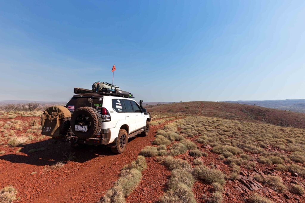
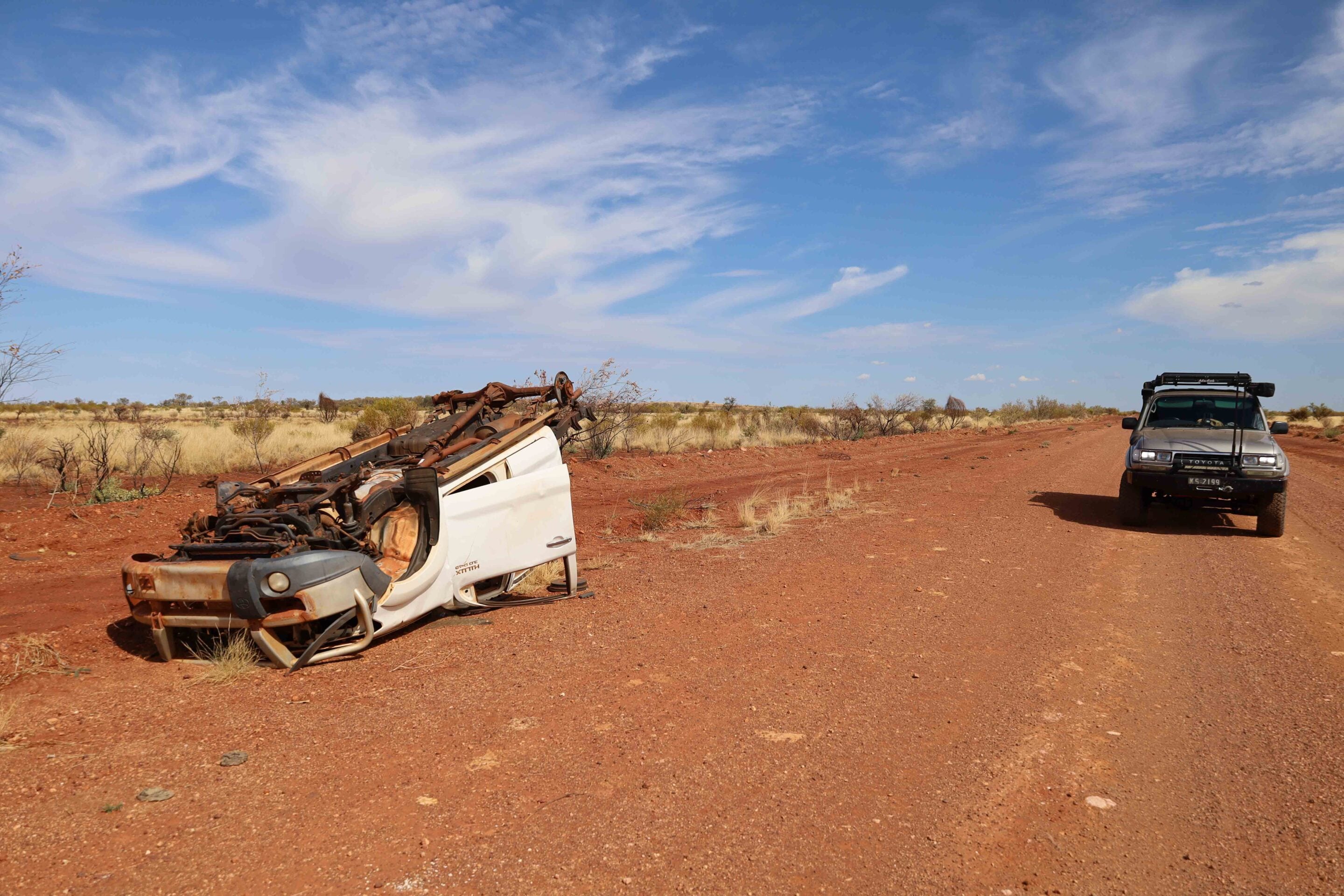
Cruising along to protect my tyres from sharp gibber stones, the landscape unfolded in a hypnotic rhythm of spinifex plains and low, weathered breakaways, while the sky above was a flawless blue against the colours of the Pilbara grasses and low trees. It takes about an hour to get to the turn-off onto the Talawana Track from Balfour Road, which is signposted and points you away from the huge cattle station.
1
The Talawana Track itself is a monument to mid-century bush engineering, pushed through the desert by legendary surveyor Len Beadell in the 1950s and ’60s. Today, it is a corrugated ribbon of red earth that vibrates through the steering column and tests every weld, bolt and suspension bush on a vehicle.
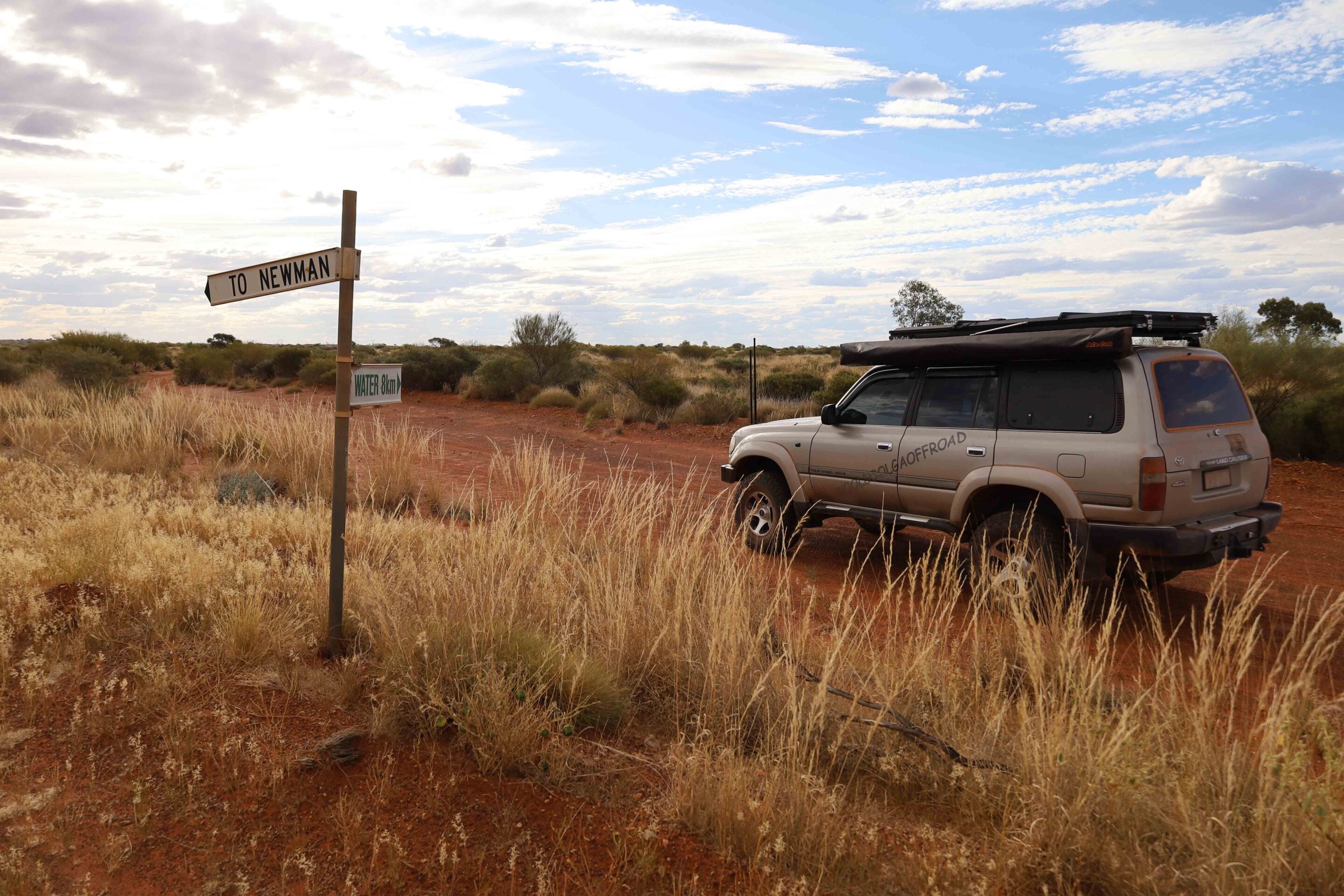
It’s not signposted as such, but if you’re running a good GPS unit, you’ll see a point of interest just off the track that leads you to one of Len Beadell’s survey plaques, mounted on an original 44-gallon drum. This one was marked 6 November 1963. The track that heads up into the park wasn’t signposted as such; all it had was a water sign pointing to a hand bore up the track.
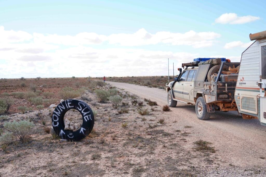
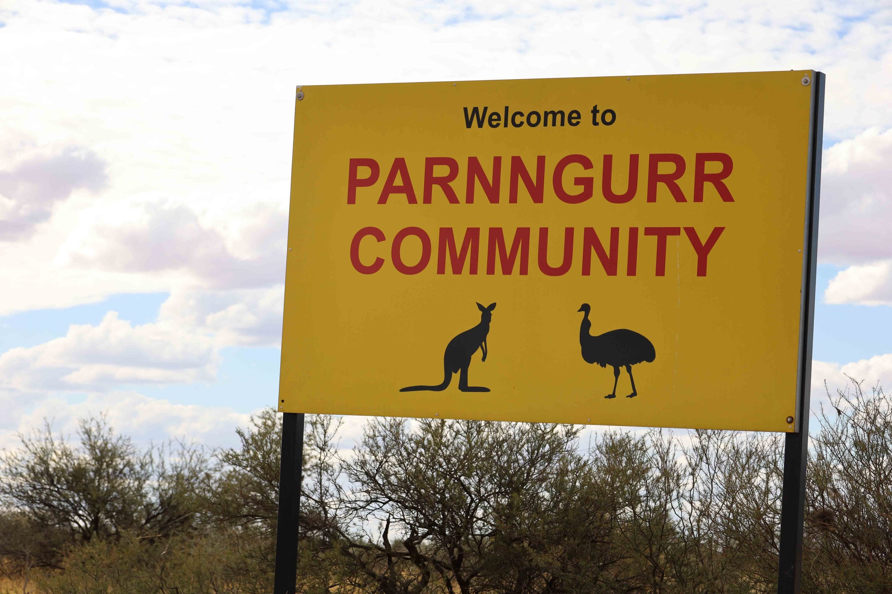
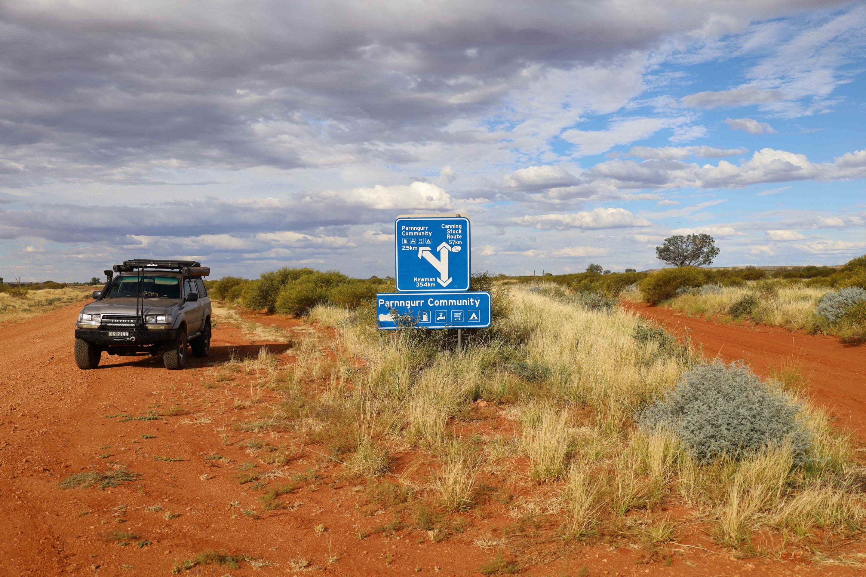
By now I was a good 300km from Newman and my last fuel top-up, but east along the Talawana Track is the Parnngurr Community, where diesel and Opal fuel can be bought. Heading down there to top up was, to me, cheap insurance to have full tanks heading into Karlamilyi, regardless of the inflated price.
1
Exploring the desert landscape
Crossing the invisible boundary into the park, the topography shifts.
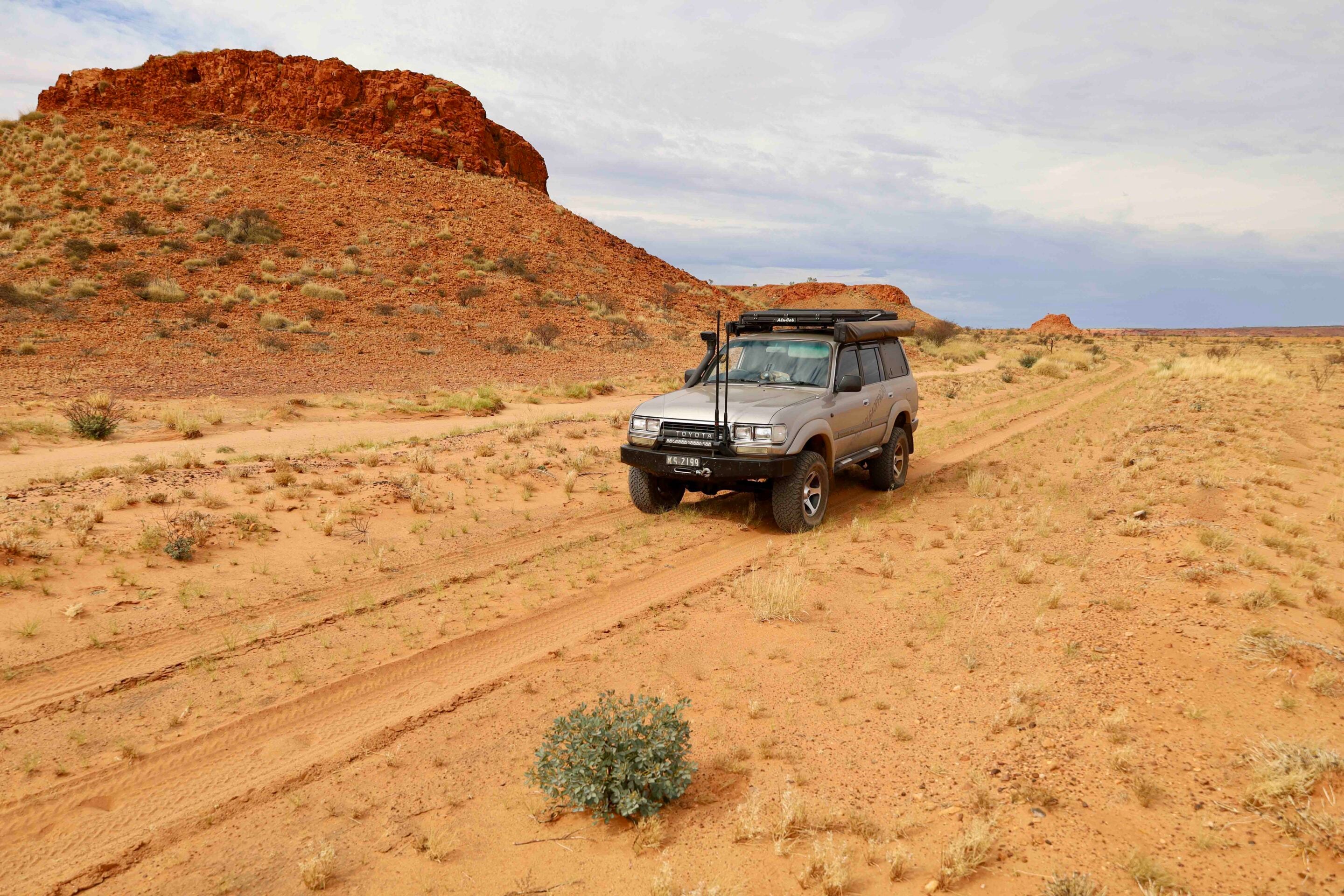
Karlamilyi is not a monotonous waste of flat sand; it’s a complex, dynamic collision of two distinct desert systems intersected by an ancient river basin, where glaciers once filled the open landscape. On my maps, the track that headed deep into the park had no name, yet at the northern end of the park there was a sunburnt sign calling it the Rundall River Track. The going is slow, painfully slow, with a zillion corrugations at the wrong distance apart to get a good run, and the track narrowed down for miles, giving me more bush stripes.
To the north, the red sand dunes of the Great Sandy Desert stand out across the horizon like giant waves, shaped by prevailing winds over millennia. To the south, the older, more degraded landforms of the Little Sandy Desert assert themselves with gravelly plains, mesa-topped hills and rugged sandstone ranges.
The true spine of the park, however, is the Karlamilyi River (formerly known as the Rudall River). It is an ephemeral lifeline that cuts through the desert, carved into the bedrock over millions of years. While dry for most of the year, its underground aquifers feed pockets of permanent waterholes, creating astonishing corridors of life amid the arid expanse.
The History of Martu Country
This land is the traditional home of the Martu people, who have inhabited, managed and walked these desert pathways for at least 40,000 years.
To the Martu, this is not a wilderness; it’s a highly structured landscape mapped by the journeys of ancestral beings during the Jukurrpa (the Dreaming), and the nearby communities of Punmu and Parnngurr still have a deep connection to the park. For millennia, the Martu lived a nomadic lifestyle perfectly adapted to this harsh environment, moving between permanent waterholes like Tarl, Desert Queen Baths and the rockholes of the Broadhurst Range. Their deep ecological knowledge allowed them to thrive where European explorers would later perish.
The European chapter of the park’s history began in 1896 with the fateful expedition of Frank Hann, who named the river after his friend, surveyor William Henry John Rudall. Hann was searching for pastoral land and gold, but what he found was an unyielding desert that offered little joy to Western agricultural ambitions. Decades later, the region became a focal point for uranium exploration and missile tracking during the Cold War, when Len Beadell’s roads opened up the interior. In 1977, the area was gazetted as Rudall River National Park.
1
However, this occurred without the consultation or consent of the Martu people, many of whom had been forcibly removed or encouraged to move to coastal missions and pastoral stations during the mid-20th century. The decades that followed saw a profound struggle for land rights. The Martu never relinquished their connection to Country. In 2002, they secured a historic native title determination over vast tracts of the desert, including Karlamilyi. Recognising the true custodians of the land, the park was officially renamed Karlamilyi National Park in 2008, honouring the traditional Martu name for the river.
The Martu are the traditional owners of a large part of central Western Australia, extending from the Great Sandy Desert in the north to around Wiluna in the south. Across this country, Martu share a common law, culture and language. The Martu were some of the last of Australia’s Indigenous people to make contact with European Australians, with many migrating from their desert lands to neighbouring pastoral stations and missions in the 1950s and 1960s. Sometimes this migration followed the Canning Stock Route north towards the Kimberley or to the south.
1
Jarra Pool and Desert Queen Baths
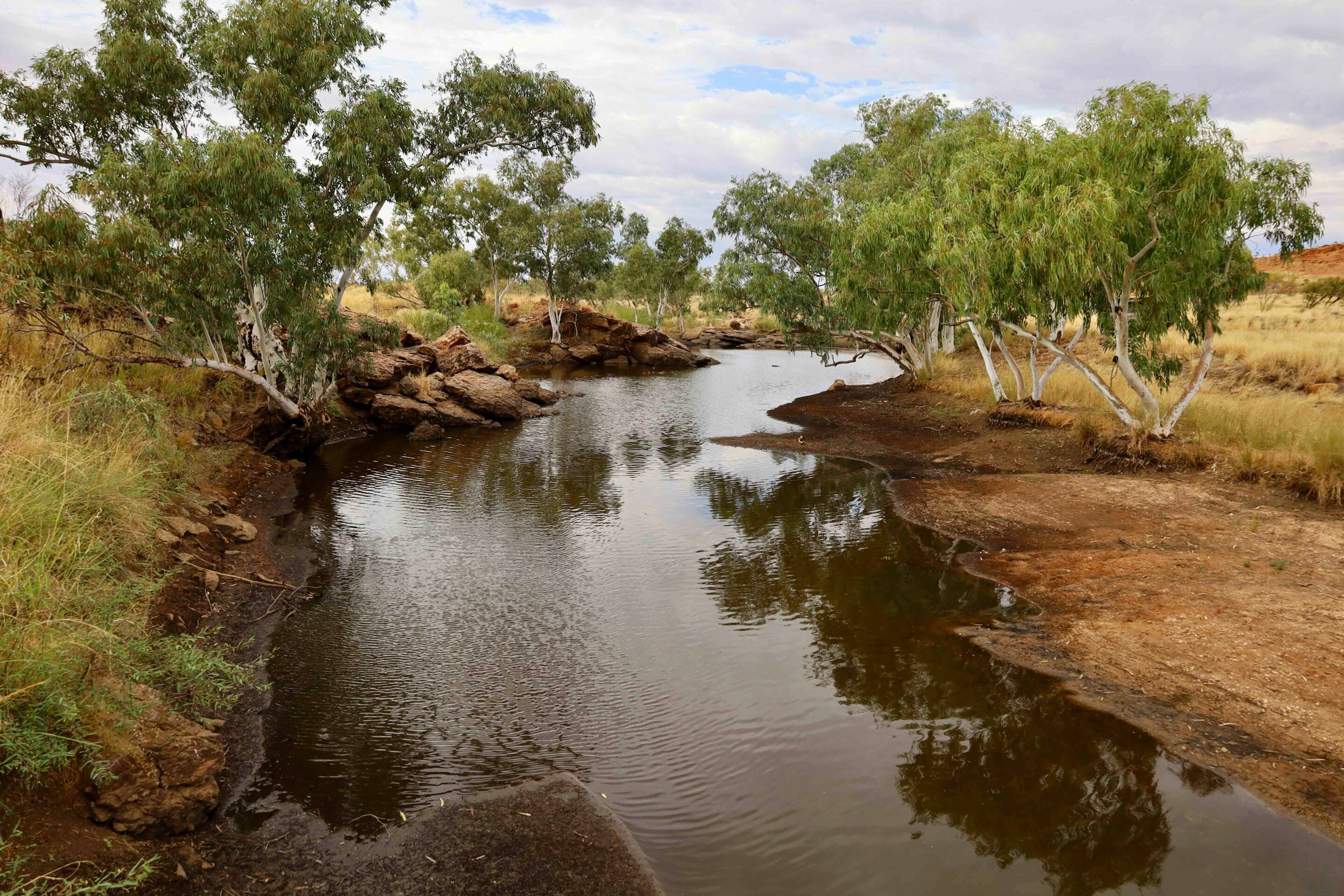
One of the highlights of the park is a visit to the waterholes named Tjingkulatjatjarra (also called Jarra Pool) and Desert Queen Baths, a series of spectacular gorges and hidden freshwater pools tucked deep within the Broadhurst Range.
There are no signposts to the waterholes, which are nearly 20km off the main track yet can take an agonising hour to reach over the rough terrain. Jarra is the first one heading north and is surrounded by white gums, which give it a cool feel on a warm day. Desert Queen is reached via a more technical trail of jagged quartz reefs, dry creek crossings filled with soft river sand and rocky sections that require good wheel placement.
The Broadhurst Range rises out of the desert like a fortress of dark red and purple stone, where eons of water erosion have sliced deep, narrow chasms into the range. Walking into the gorge, the temperature drops, shielded from the desert wind by towering rock cliffs. From the entrance to the gorge, it’s only a short walk to the first pool, where the water is cool, deep and stained a rich tea-tree black by the fallen leaves of paperbark trees.
1
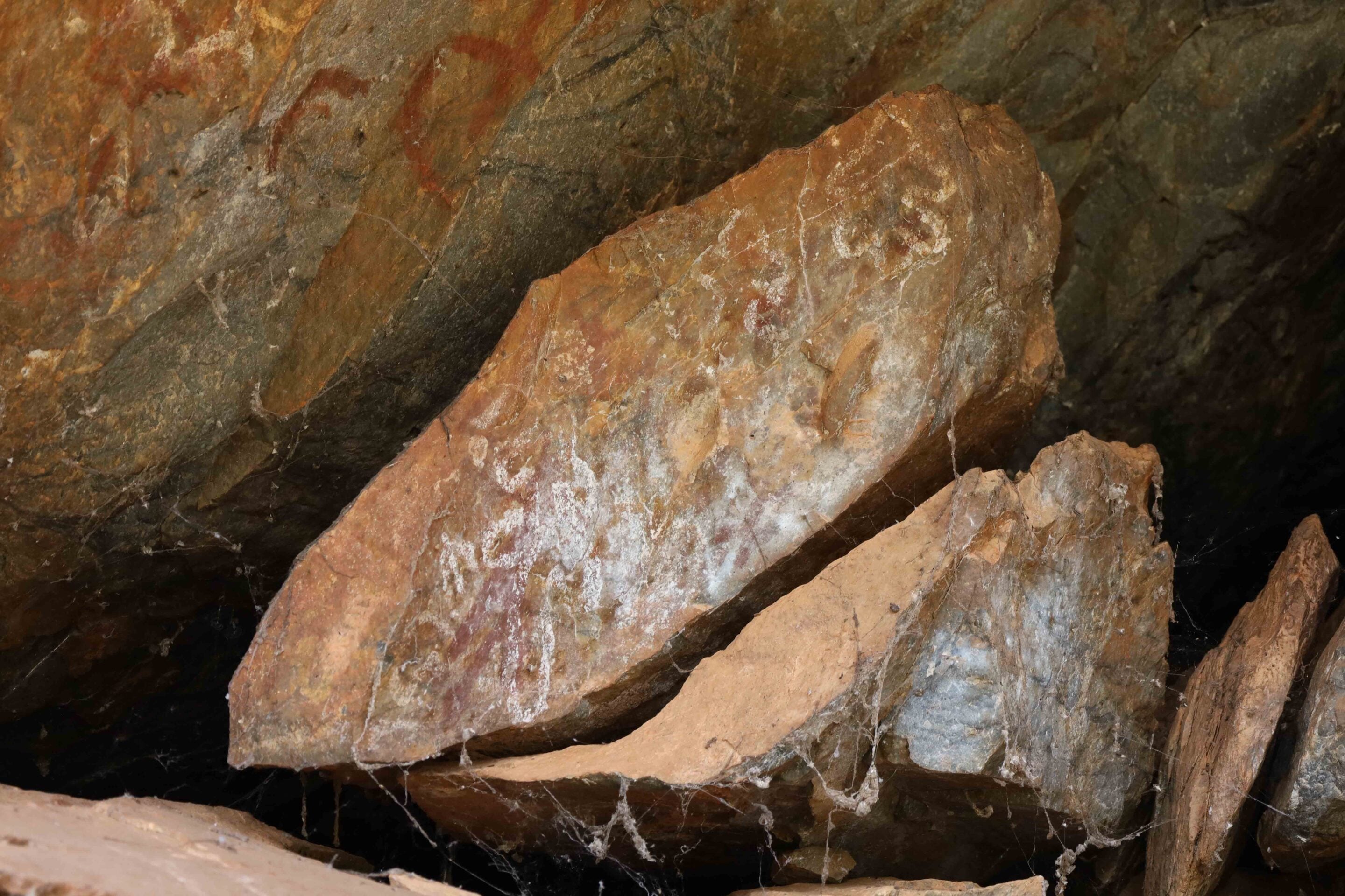
Sitting beside the pool in the absolute silence of Desert Queen Baths, surrounded by vertical walls of red rock that have stood for hundreds of millions of years, is an experience of profound humility. Here, in the heart of one of the driest places on earth, is an abundance of pure, life-giving water. Further up the gorge there are more pools filled with reeds, giving life to this inhospitable area. To the right of the main pool, under a rock overhang, there are signs of the Martu people, who painted pictures of surrounding wildlife and other interesting figures.
Leaving Desert Queen, there’s a short 4×4 track to the other side of the gorge, where recent artwork has been repainted, apparently to keep the good spirits alive. Back out on the main track heading north, there’s evidence of past rain, with the tracks severely eroded and, in one section, the track running up an old creek bed gouged out over years of storms. Despite its aridity, Karlamilyi is teeming with life, though much of it moves in the shadows of twilight and dawn.
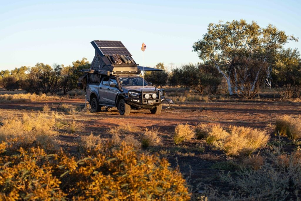
Along the dry riverbanks, the sand is a highway of tracks, recording the nocturnal movements of the desert’s inhabitants. Around camp, I spotted the heavy tracks of feral camels, winding trails of sand goannas and the delicate footprints of nocturnal mice and small lizards. In the early mornings, the ghost gums came alive with the sounds of budgerigars, corellas and flock pigeons coming down to drink at the waterholes, while zebra finches darted through the spinifex like feathered bullets.
1
Lessons from remote desert travel
After a few days of exploring the hidden gorges and navigating the challenging desert tracks, it was time to keep heading north.
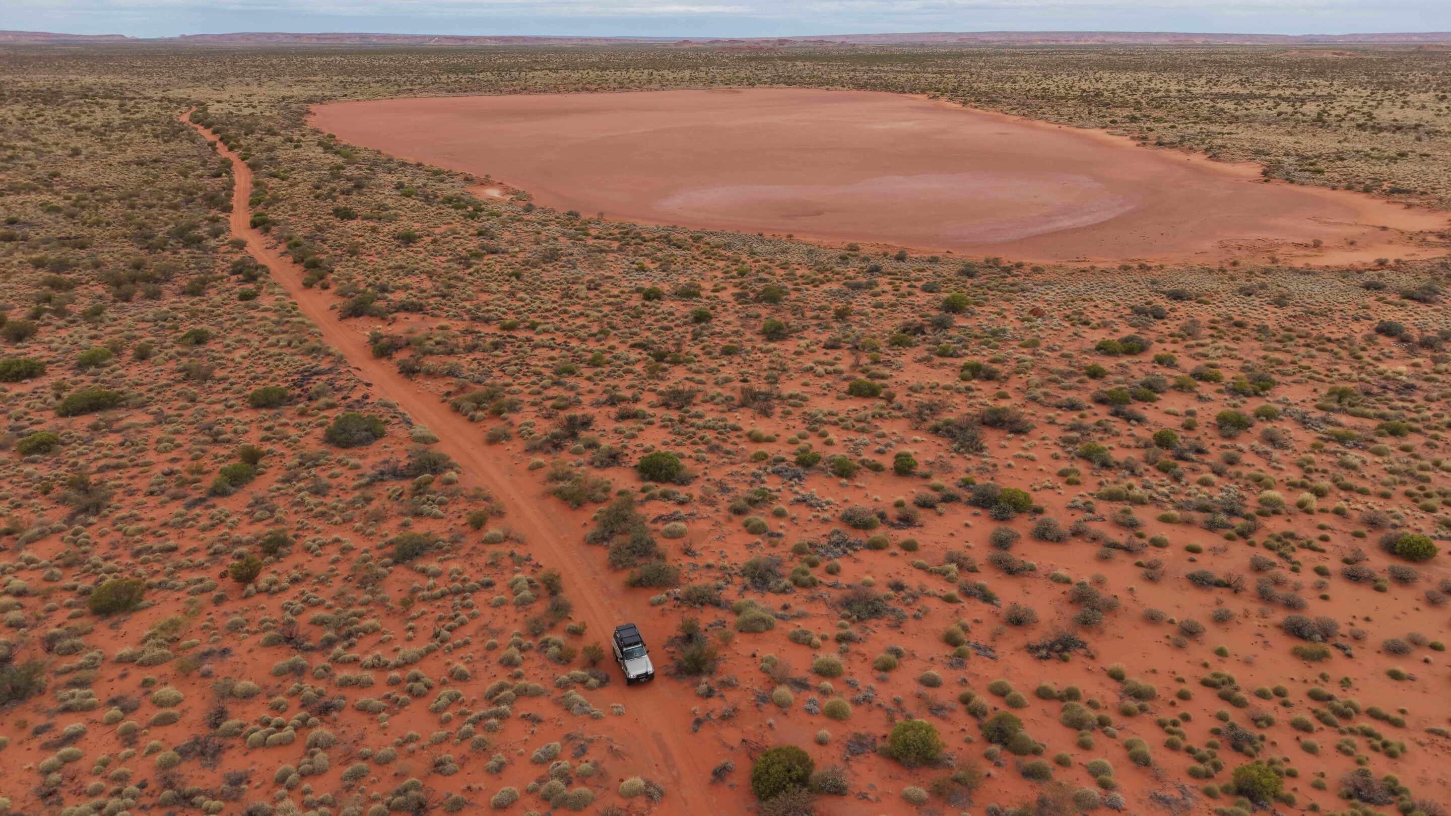
The Rudall River Track doesn’t give up as it passes dried-up shallow salt lakes to the constant hum of hundreds of corrugations. Eventually, I hit the mining roads around Telfer and could hear the chatter on the UHF, before finally seeing signs pointing me towards Marble Bar, a good 300km away.
An expedition into Karlamilyi is an exercise in risk management. There is no mechanical recovery service coming to save you; a major breakdown here can quickly escalate into a survival situation. Karlamilyi is not a place to be conquered by a four-wheel drive; it’s a place to be negotiated with, respected and admired. It stands as a magnificent chunk of primordial Australia, protected by its own geographical hostility and preserved by the enduring spirit of the Traditional Owners.
39
Frequently asked questions
Where is Karlamilyi National Park?
Karlamilyi National Park, formerly known as Rudall River National Park, is Western Australia’s largest and most remote national park, covering more than 1.3 million hectares in the north-western Pilbara region. Located between the Great and Little Sandy deserts, it features a harsh, inhospitable landscape of salt pans, sandy country, dry, stony plains and mesa hills worn down over millions of years.
How do you get there?
Access is available from the south via the Talawana Track from Newman or from Marble Bar in the north. Signage within the park is almost non-existent, so good maps are essential. Visitors should also have a fuel range of at least 650km. Diesel and Opal fuel are available at Parnngurr Community to the south.
What is there to see?
The main attractions are the isolation and remoteness, two waterholes, Aboriginal rock art and remnants of pastoral history. The surrounding desert landscape and rugged terrain are also part of the experience, while the Talawana Track offers a challenging four-wheel-driving route.
What are the track conditions like?
The Talawana Track is unmaintained, and conditions vary depending on annual weather events. Travellers should be prepared for challenging four-wheel driving and changing track conditions.
Do you need a permit to visit?
No. Permits, entry fees and passes are not required to visit Karlamilyi National Park. No permit is needed to visit Parnngurr Community, either.
When is the best time to visit?
The cooler months are the best time to visit. Summer temperatures can reach 50°C, making travel through the remote desert particularly demanding.
What should you pack?
Karlamilyi is extremely remote, so visitors need to be confident travelling in isolated country and be highly self-sufficient. A reliable four-wheel drive, good maps, sufficient fuel for a range of at least 650km and an emergency communication device are essential. With almost no signage within the park and limited access to assistance, thorough preparation is crucial.
MORE
WA travel yarns!
Follow 4X4 Australia on Google
Get more 4x4 news, reviews and gear stories from 4X4 Australia in your Google feeds.


We recommend
-
 Explore WA
The Beadell Roads: Australia’s ultimate remote 4WD adventure
The Beadell Roads criss-cross Australia’s remote deserts, attracting adventurous four-wheel drivers seeking isolated desert journeys
-
 Explore WA
Top five off-road adventures near Newman in the Pilbara
Newman is the gateway to some of the Pilbara’s most rewarding and least-known off-road experiences
-
 Explore WA
Top 5 campsites on the Northern Canning Stock Route in Western Australia
We reveal the top five campsites along the northern section of the Canning Stock Route