Explore VIC
Gallery 1
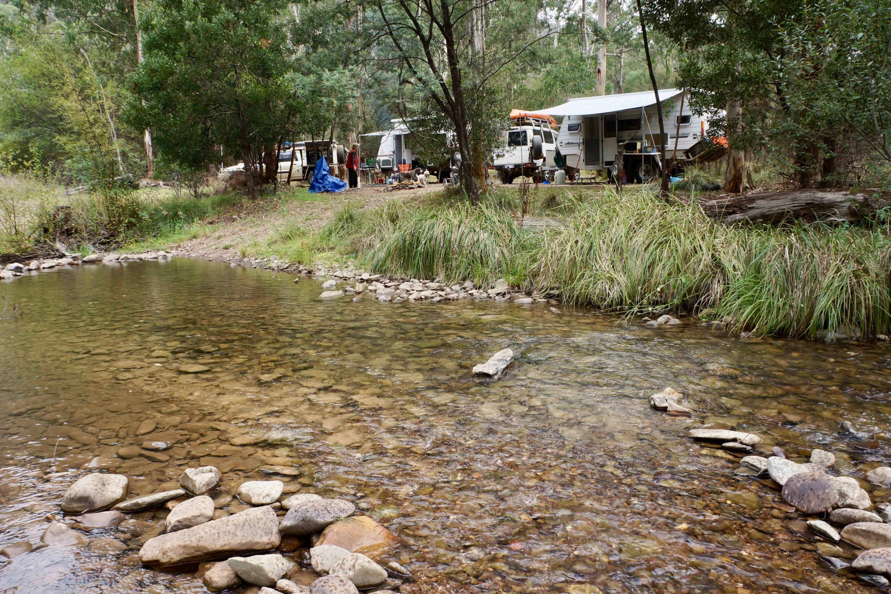
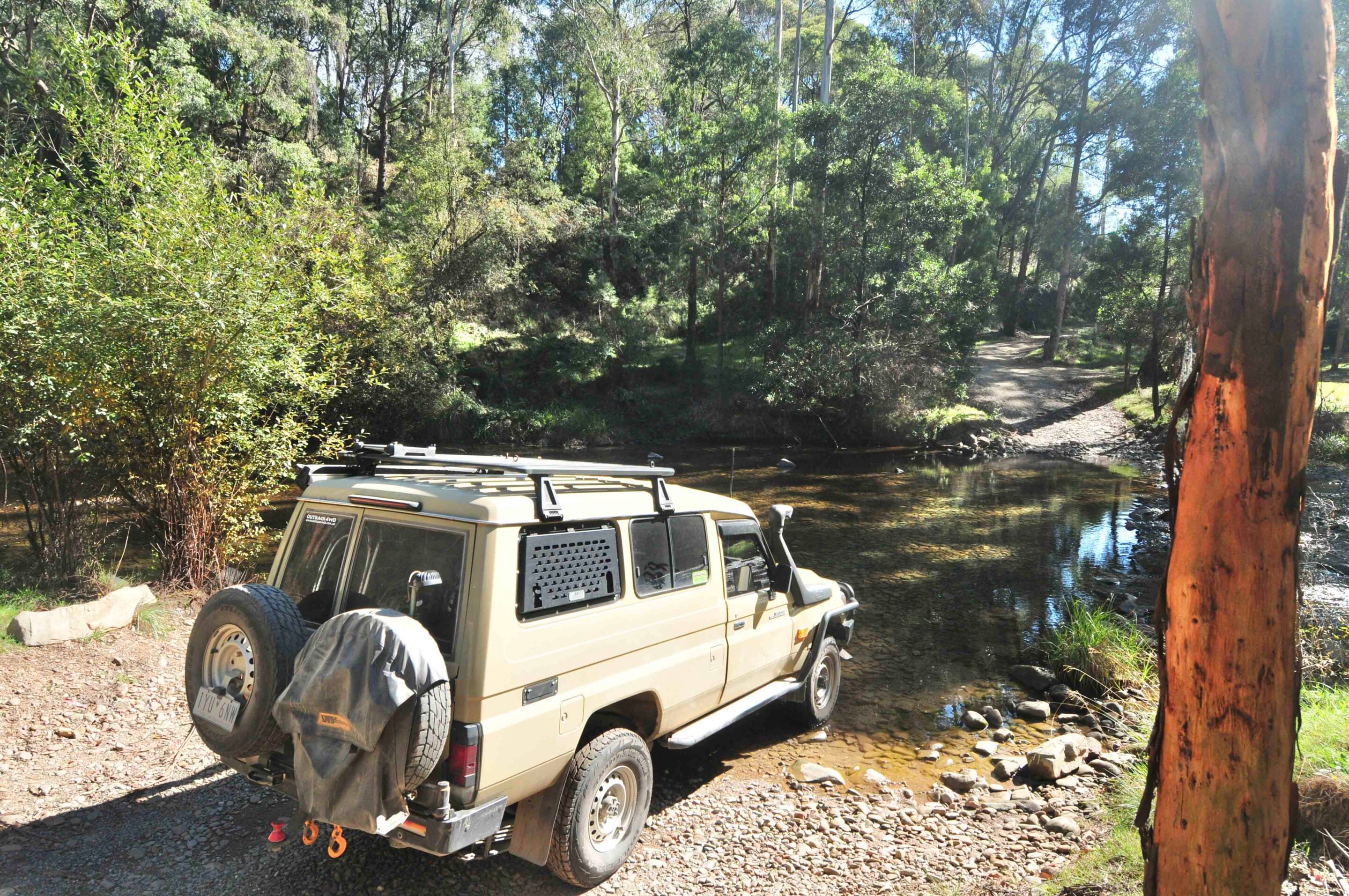
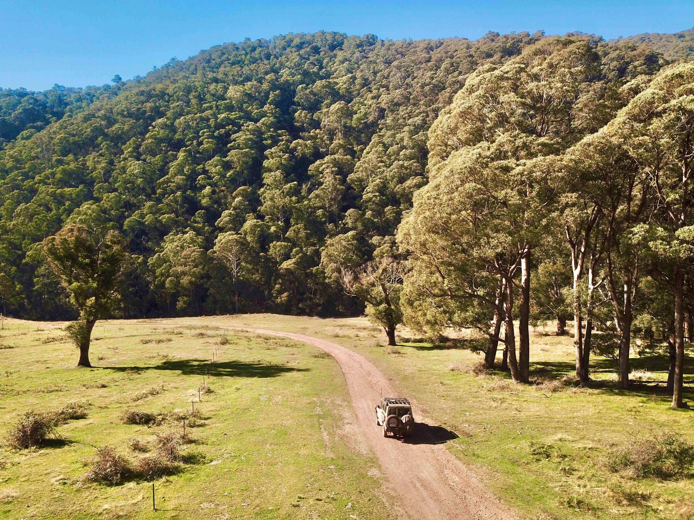
I idled the Cruiser through yet another shallow, rocky creek crossing and crawled up the opposite bank into a large clearing covered in short green grass and dotted with tall gums and the occasional European tree.
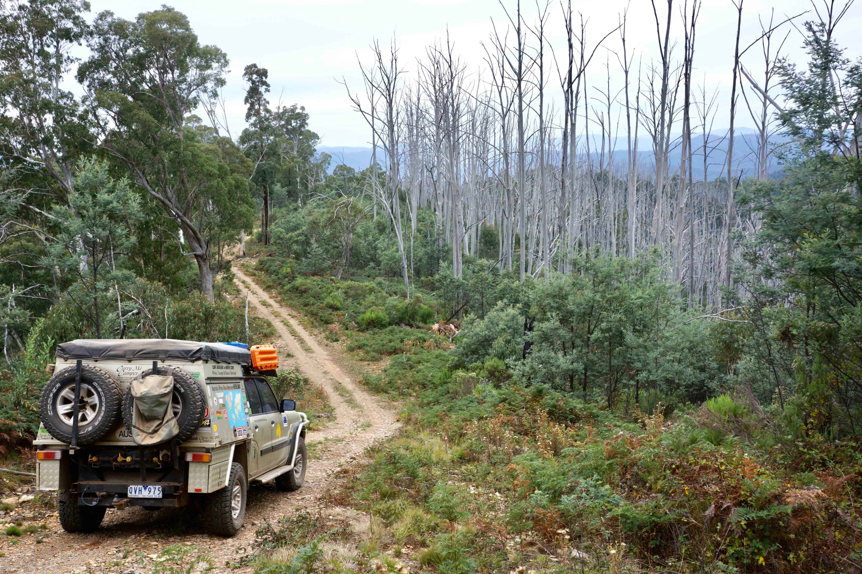
Those trees testify to a rich and sometimes violent history, but today their leaves were changing colour, indicating that winter was just around the corner. Not that the onset of winter was any particular issue, as the Buckland is an ideal spot for a bush break at any time of the year, with the main access track staying open no matter the season.
The nascent Buckland River, though, starts life as it trickles down through the Barry Mountains below Mount Selwyn and The Twins, its east and west branches coming together at what we know as Buckland Junction. From there, the larger stream flows north for about 24km to its meeting with the Ovens River, near the tidy town of Porepunkah.
1
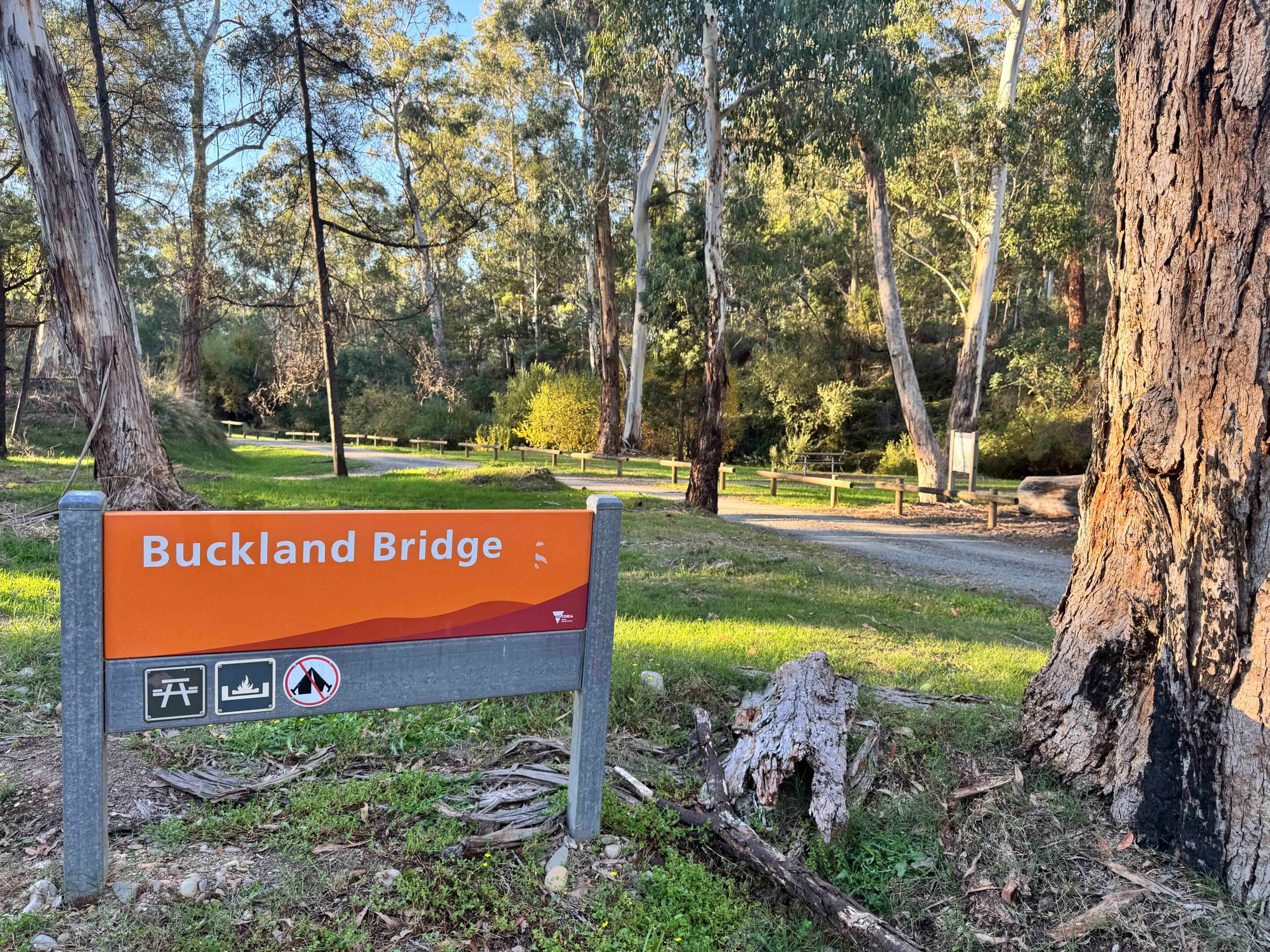
Today, the northern section of the Buckland is bordered by small, verdant farms, with the main access road bitumen for the first 12km or so, before the manicured properties give way to state forest at Buckland Bridge. Here you’ll find a pleasant day-use area and an info sign that, for first-time visitors to the valley, is well worth a stop, as it details the recent history of the river and the gold discoveries that made it one of the richest alluvial fields in Australia, along with a map showing the major campsites in the valley.
Just on the south side of Buckland Bridge, Goldie Spur Track strikes west and climbs the Buffalo Range, the sheer bulk of the granite faces of Mt Buffalo itself dominant a little to the north.
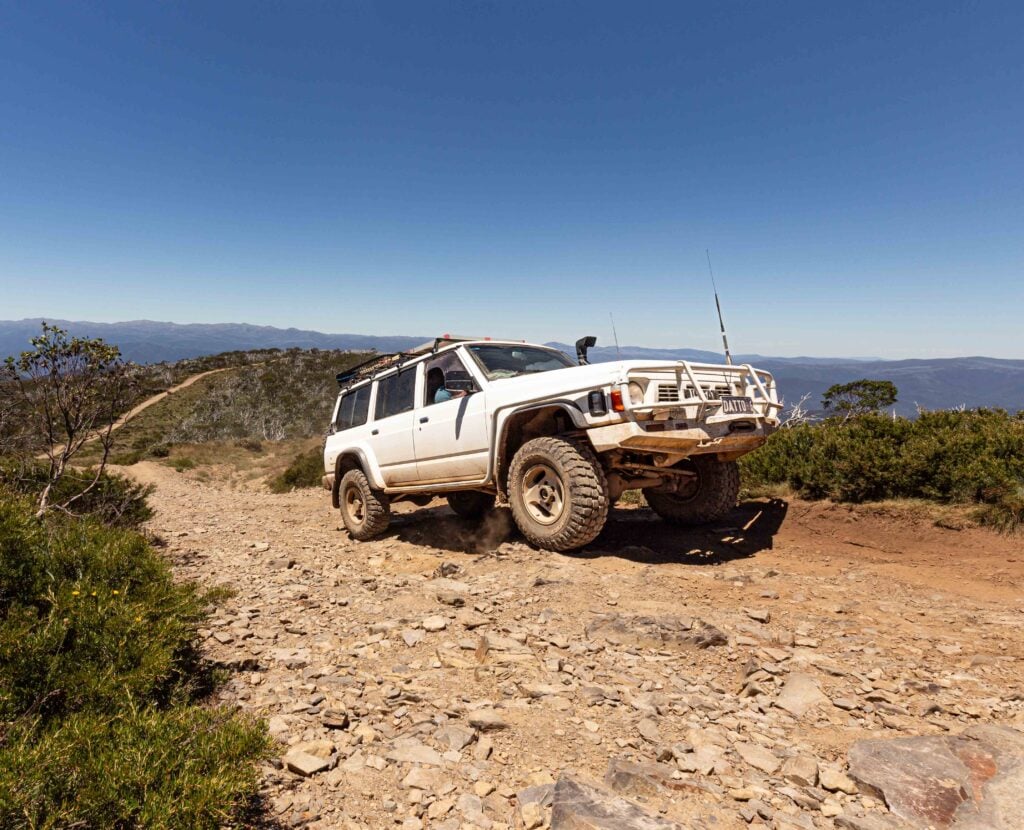
About 7km from the bridge, a good but narrow 4×4 track heads south along the long, winding ridge of the range to the peak of South Selwyn. A number of other tracks leave this range track to drop down on either side of the ridge, the eastern ones bringing you back into the Buckland Valley.
Gold Rush history and mining legacy
Continuing south on the main road from Buckland Bridge, you’ll come to what was once the main Buckland townsite and its historic cemetery – the only thing really apparent these days from those days of gold. There are a few headstones marking graves, but many remain unmarked and unknown.
At the back of the cemetery are a few Chinese graves, their presence marked by low headstones inscribed with Chinese characters. Nearby, a track leads west a few hundred metres to a Chinese memorial stela commemorating the many Chinese who died in this valley, which was at one stage known as ‘The Valley of Death’.
Gold was first discovered here in the winter of 1853 when a small party of men panned 360 ounces of the yellow metal in just a few days – today that would be worth more than a staggering $2.3 million. A rush set in and by the end of January 1854 there were more than 6000 diggers vying to change their luck and their fortunes, with some of the lucky ones sifting two ounces of golden flakes and nuggets from just one bucketful.
1
With toilet and rubbish facilities near non-existent, the stream polluted with mud and tailings, and the air thick with flies attracted by the many butchers chopping up meat and offal to feed the hungry throngs, it was no wonder ‘Colonial Fever’, or typhoid, broke out. Some reports from the day say there were so many graves along the valley, the river seemed to wind through a churchyard.
By 1857, the number of Chinese working in the Buckland, often with more success than the European miners, had grown to such an extent that they outnumbered the other nationalities. A riot occurred, with the Chinese being violently ejected from their tents and workplaces, and being beaten and robbed. No one knows how many were killed, but it was more than a few before a police detachment arrived from nearby Beechworth.
Robert O’Hara Burke (yep, the same one from the later, infamous Burke and Wills Expedition) led the police troopers, and it is said he got lost on his way between Beechworth and the valley – a handy prerequisite for leading a major expedition across Australia, or so it seems!
1
With the easy gold becoming harder to find, by the summer of 1858 hydraulic sluicing was introduced to tear down the earth surrounding the river, forming the many low cliffs that now border the stream and the cobble heaps of rocks that litter many of the flats beside it. As well, the many water races that cut across the hills and flats and fed the sluices can still be seen today.
Later, in 1901, the valley was still giving up its gold, but now bucket dredges were the industrial might and means, churning the river flats until they were banned because of their environmental damage. All this time, small and large hard-rock mines were dug into the hillsides on both sides of the river, their names evocative and hopeful, with monikers such as ‘Welcome’, ‘Pride of the Elgin’, ‘Star of Hope’, ‘Last Chance’ and dozens more.
Today, however, finding those mines and their associated machinery is hampered by undergrowth and large patches of blackberry, which make exploring difficult. In any case, most of the machinery at the stamper sites was removed when the mines became unprofitable and shifted to more productive fields. Still, if you are keen, you never know what treasures you might find hidden in the scrub.
4WD tracks, camping and High Country connections
For most four-wheel drivers, the attraction of the Buckland is its river and the many cleared or semi-cleared flats that border the stream.
It attracts all sorts, from those who just want to read a book in a quiet, delightful spot, to four-wheel drivers wanting to explore the numerous trails in the area, as well as bike riders, gold fossickers, deer shooters and fishermen willing to try their luck. And, of course, there is a geocache or two tucked away somewhere in the valley for people to search for, hopefully find and record.
Just a short distance along the main access track from the cemetery is the Ah Youngs campground. The most popular campsite on the river, probably because it is the closest to the blacktop, the flat was named after a Chinese miner, Henry Ah Young, who lived here and worked his alluvial claim nearby.
1
The campsites get better as you head upstream, with Camp Flat just 2km on from Ah Youngs being one of our favourites – especially if you can snag a spot right beside the river. From Camp Flat, a 4×4 track crosses the river and follows what was the original Buckland Road as it crawls along the edge of the hills, just above the water, passing some old mine workings and the site of the old Paulussey’s Gold Battery along the way. If there is anything left here, it’s hidden by a shroud of thick blackberry bushes.
This track ends just below Buckland Junction, where it crosses the stream and joins the main access road once again. Other 4×4 tracks head up the steep hills on both sides of the river nearby. The westernmost one, Scotchman Track, climbs to meet the Buffalo Range track previously mentioned, while on the eastern side of the river the Clear Creek and Paddy Hill tracks will take you through some steep country and over the range to meet the main Bright-Mt Hotham Road.
Further along the valley, and after passing a number of excellent camping spots, you’ll come to Beveridges Station, just past the junction of Mt Selwyn Road and Selwyn Creek Road, and the beginning of the Alpine National Park in this part of the world.
1
The large cleared area has long been private property but is now fenced, with a few signs making it clear that trespassers will be prosecuted. However, if you head up Selwyn Creek Road for just over a kilometre and turn left onto Pheasant Creek Track, you’ll come to the Buckland River once more, while off to your right is the publicly accessible Beveridge Station Camping Area, now located within the Alpine NP. Pheasant Creek Track itself crosses the river and then climbs steeply to the crest of Mt Sugarloaf before descending to meet Mt Hotham Road just 1km west of the Dargo High Plains Road junction.
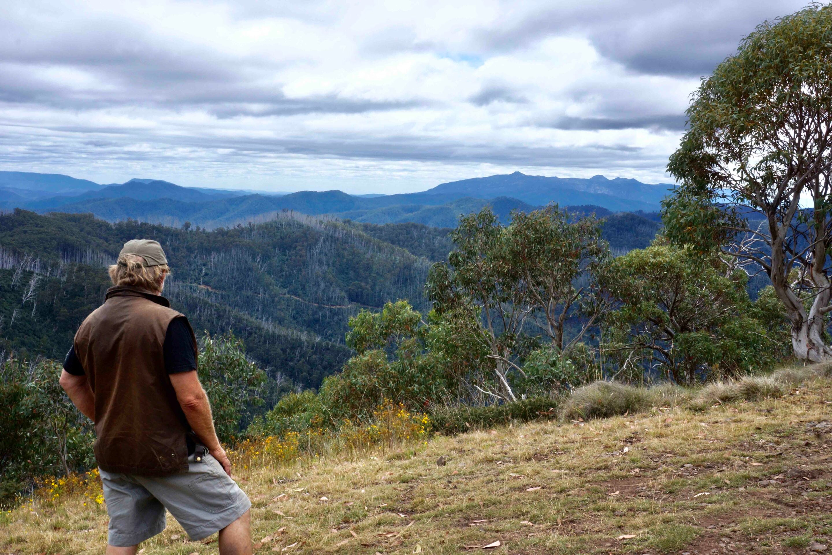
From the junction of Mt Selwyn Road and Selwyn Creek Road, tracks head deeper into the High Country across rugged country and along delightful streams to iconic places such as the Wonnangatta Valley, the Dargo High Plains, Abbeyard and the Cobbler Plateau – all depending on which way you turn at the southern extremity of the Buckland.
That is, of course, if you can tear yourself away from this delightful valley in the first place. I know that many times over the past 50 years I’ve been coming here, the tranquillity, beauty and history of the Buckland have made me pause and linger longer. You may well want to as well.
12
Buckland Valley FAQs
Q: Where is the Buckland Valley?
A: About 25km north of Bright, Victoria, in the Victorian High Country.
Q: How do you access the Buckland Valley?
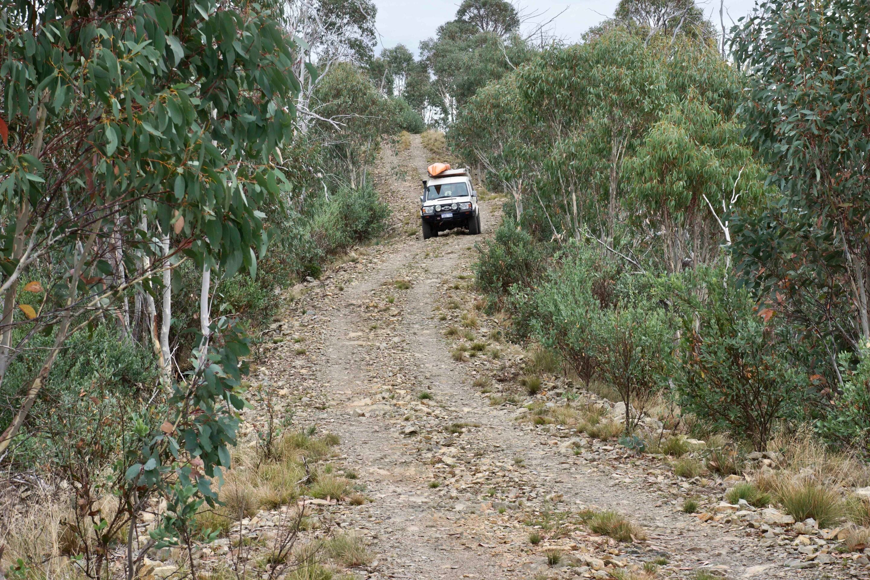
A: The Buckland Valley is accessed via Buckland Valley Road from Porepunkah. The road is sealed for the first 12km before turning to well-maintained gravel. It is suitable for most vehicles in dry conditions, with multiple 4×4 tracks branching off into steeper and more challenging terrain.
Q: What campsites are available in the Buckland Valley?
A: Numerous riverside camps are found throughout the Buckland Valley, including Ah Youngs, Camp Flat and the Beveridge Station Camping Area. Sites range from open grassy flats to more secluded bush camps, many located right beside the river. Popular spots can fill quickly on weekends and holidays.
Q: What are the track conditions like?
A: The main access track is generally easy and open year-round, but side tracks can be steep, rocky and slippery when wet. River crossings vary depending on rainfall and snowmelt.
Q: When is the best time to visit the Buckland Valley?
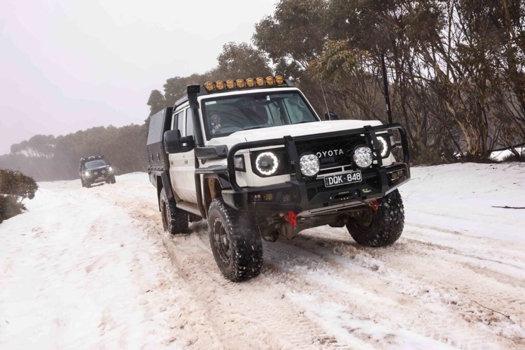
A: Autumn offers standout colour, while summer is ideal for riverside camping and swimming. Winter access remains possible along the main track, though conditions can be cold and wet.
Q: Where can you get supplies and fuel?
A: Available in Bright and Porepunkah. No services within the valley.
Q: Anything else to be aware of?
A: Be mindful of private property around Beveridge Station. Blackberry growth can restrict access to some historical sites. Carry recovery gear if venturing onto more difficult 4×4 tracks.
Follow 4X4 Australia on Google
Get more 4x4 news, reviews and gear stories from 4X4 Australia in your Google feeds.

We recommend
-
 Explore VIC
A 4x4 guide to Victoria’s Snowy River Country Trail
The Snowy River Country Trail delivers a true 4x4 adventure, with steep descents, towering forests, active logging, and one of Victoria’s most iconic bridges
-
 Explore VIC
Wyperfeld National Park: A 4WD and camping paradise in Victoria’s outback
A remote outback escape in Victoria’s northwest, Wyperfeld offers epic 4WD tracks, rich history and stunning mallee camping
-
 Explore VIC
Touring to the heart of the Victorian High Country
Ron Moon reckons the very best parts of the High Country are in its very heart, up high in the mountains