Explore VIC
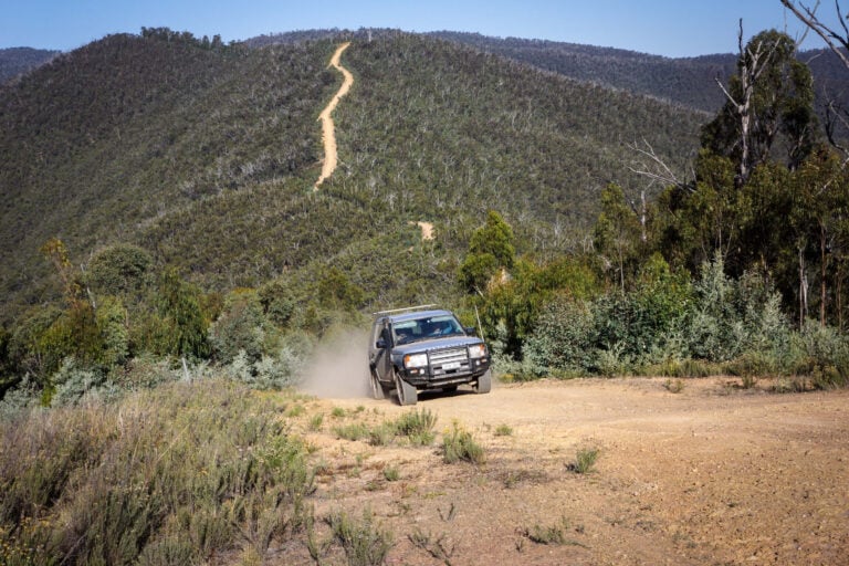
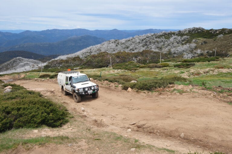
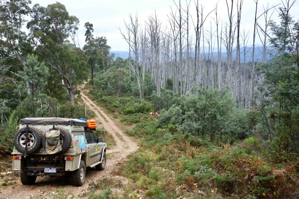
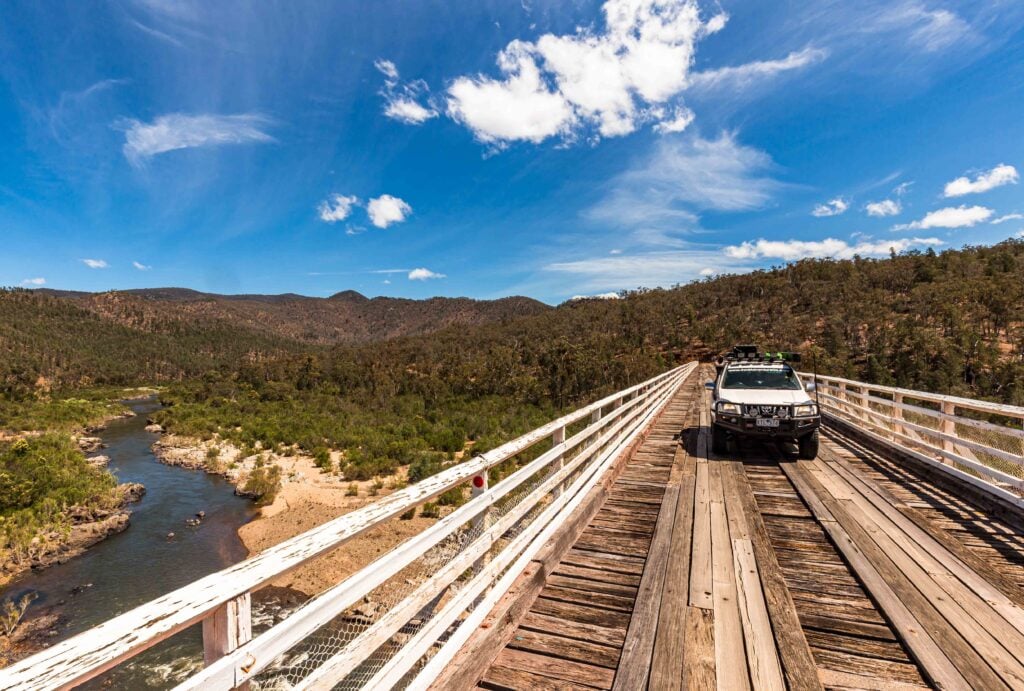
Gallery 1
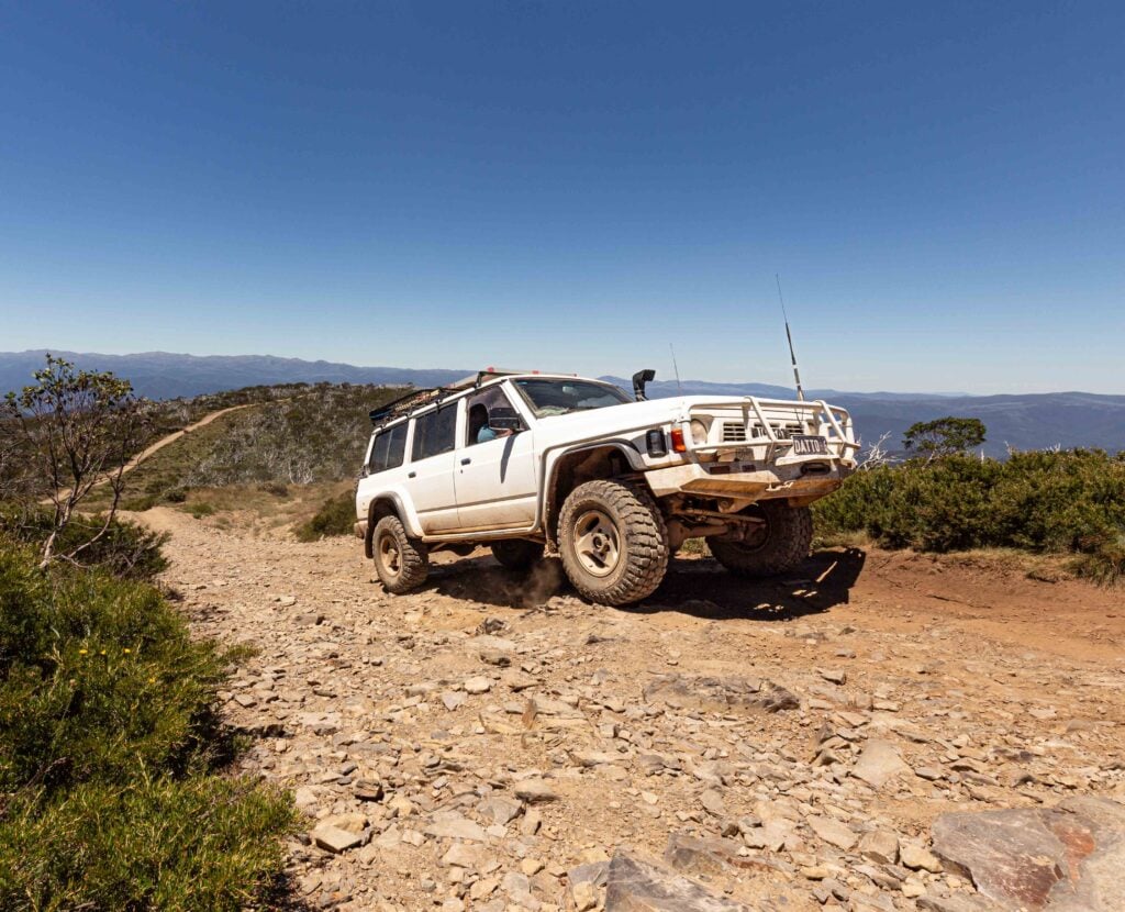
After completing the iconic Border Track along the Victoria-South Australia border, a turnoff to Wyperfeld National Park invited a detour into one of Victoria’s hidden gems.
Wyperfeld, the third-largest national park in Victoria, spans an impressive 357,000 hectares. The park is divided into three management areas to protect its fragile mallee country, Indigenous heritage, and layers of European history. First reserved in 1909, it was formally declared a national park in 1921. The Wotjobaluk people have long called this land home, and throughout the park there are signs highlighting culturally significant sites such as artefacts, middens, and burial grounds, now protected under heritage regulations.
Each of the park’s three distinct areas offers a unique experience. To the west lies the Big Desert Wilderness area – over 145,000 hectares of undisturbed mallee landscape accessible only to experienced hikers. This region, wedged between the Border Track and the Murrayville Track, remains one of the least disturbed environments in the state.
1
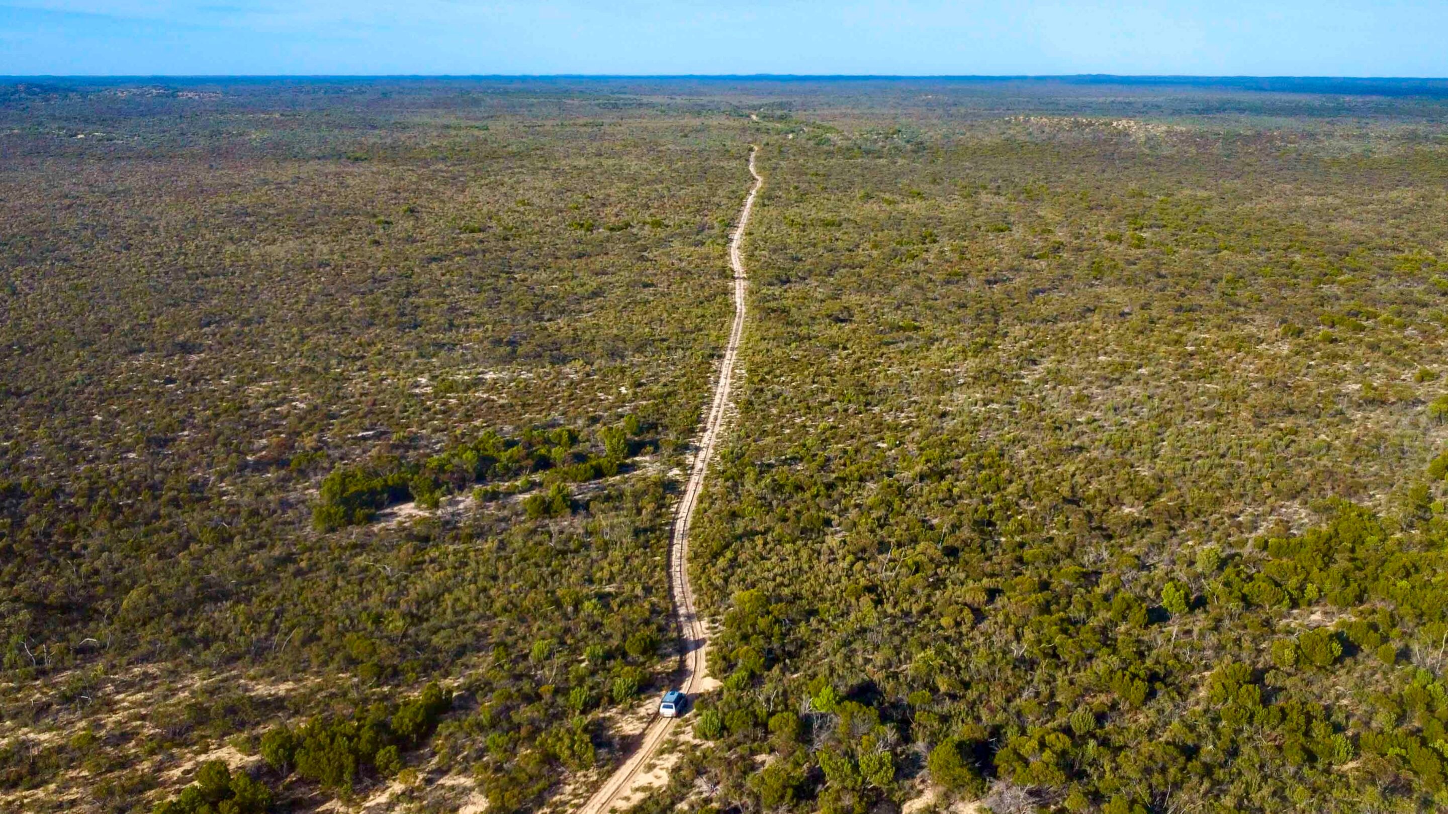
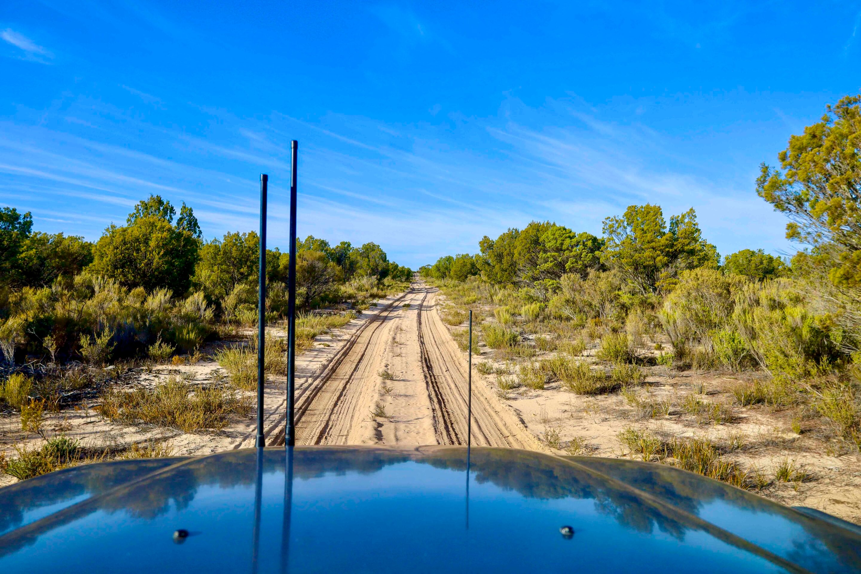
To the north, the State Forest section offers a network of sandy 4WD tracks and scattered campgrounds. Three dedicated 4WD routes traverse this region, showcasing a range of landscapes from red gums and casuarinas to heathland vegetation and steep dunes with sand softer than most beach drives.
Among these routes, the Milmed Rock Track stands out. Stretching for 175km, it cuts through soft and steep dunes and takes approximately seven hours to complete. Along the way are remote campgrounds, natural springs, and the Milmed Rock formation.
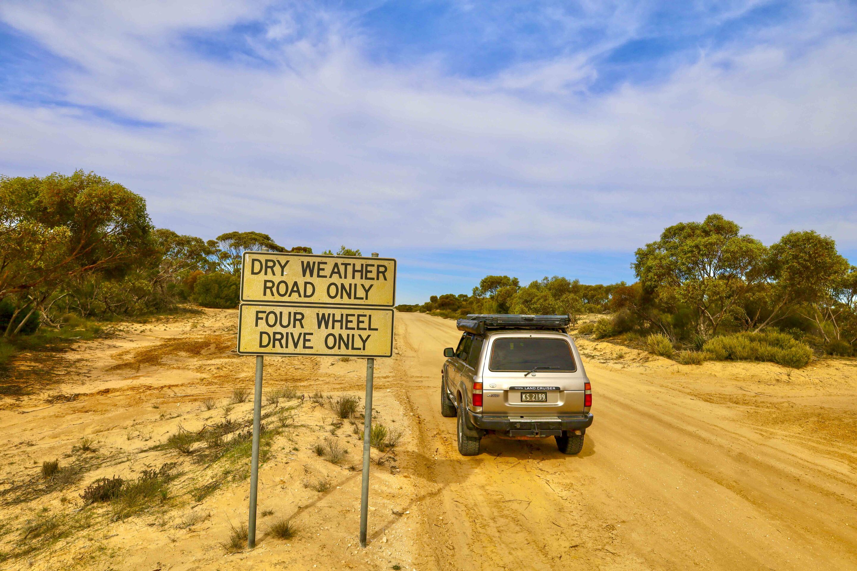
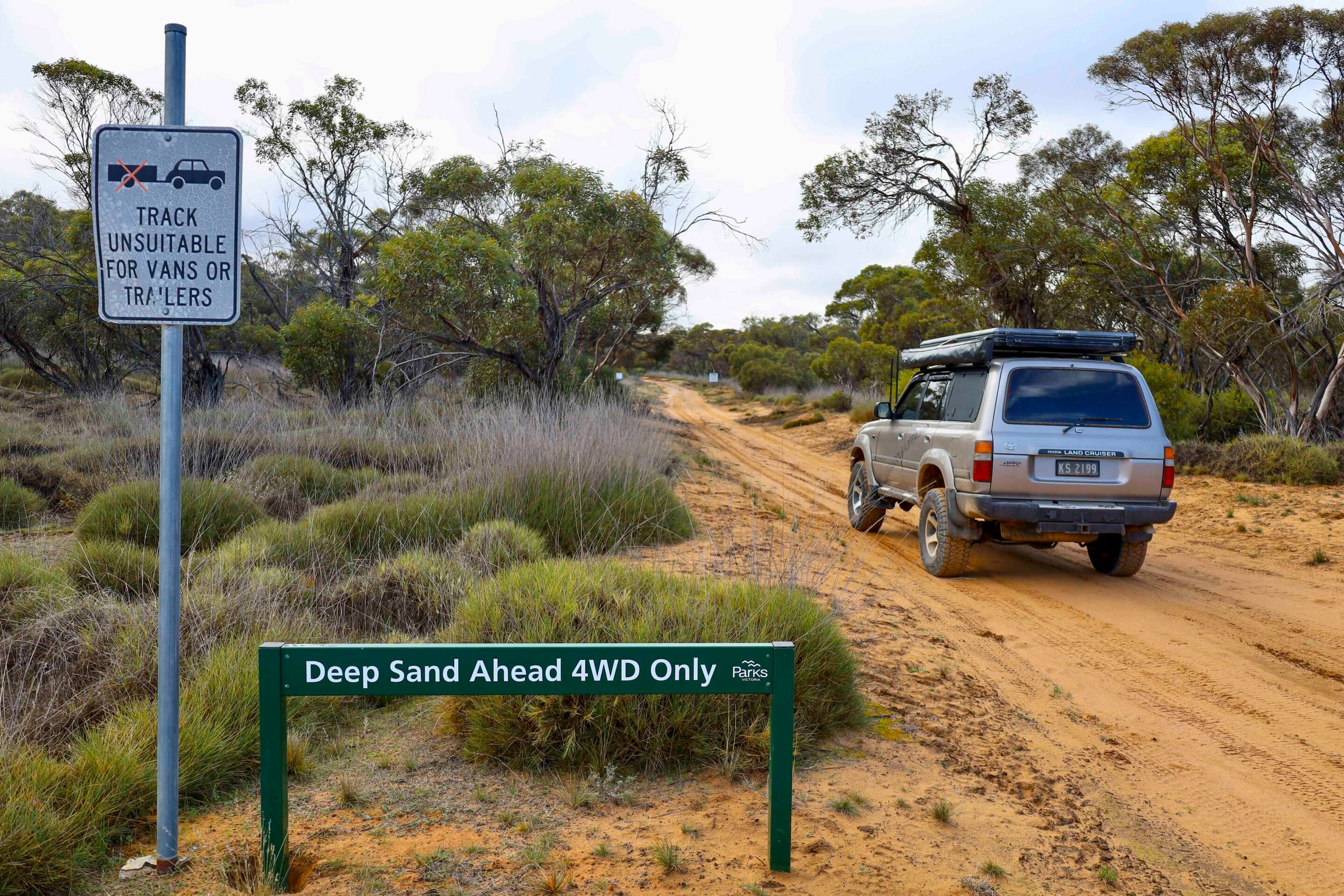
Separating the Wilderness area from the main park, the Nhill-Murrayville Track runs nearly 80km and is officially designated as a 4WD route. When dry, it functions as a well-maintained dirt road, but signage warns that it becomes dangerously slippery in wet conditions. Originally built in 1860 for cattle movement between Nhill and Kow Plains stations, the track was only upgraded for vehicles in 1936. Historic bores, windmills, and tanks still stand along the route, relics of its pastoral past.
1
Three major camps – Big Billy, Stockman Camp, and Broken Bucket – are located along this track. Big Billy, established in the 1800s, remains one of the park’s most popular camping areas, offering toilets, a shelter with interpretive signage, and a short walk to a viewing point across the expansive mallee country – an ideal sunset spot.
Thanks to its infertile sandy soils and low rainfall, the area saw little interest from early European settlers. As a result, native flora and fauna continue to thrive. The park is home to around 200 bird species and a variety of reptiles, though snakes are rarely seen.
Wyperfeld’s sweeping dunes – linked to those in the Big and Little Desert areas – date back around 40,000 years. Following the retreat of a shallow inland sea some 25 million years ago, westerly winds deposited sand across the region, shaping today’s landscape. The park’s network of dry lakes is connected by Outlet Creek, which flows into Lake Hindmarsh – Victoria’s largest inland freshwater lake. After good rains, this semi-arid landscape erupts in a blanket of wildflowers and colour.
1
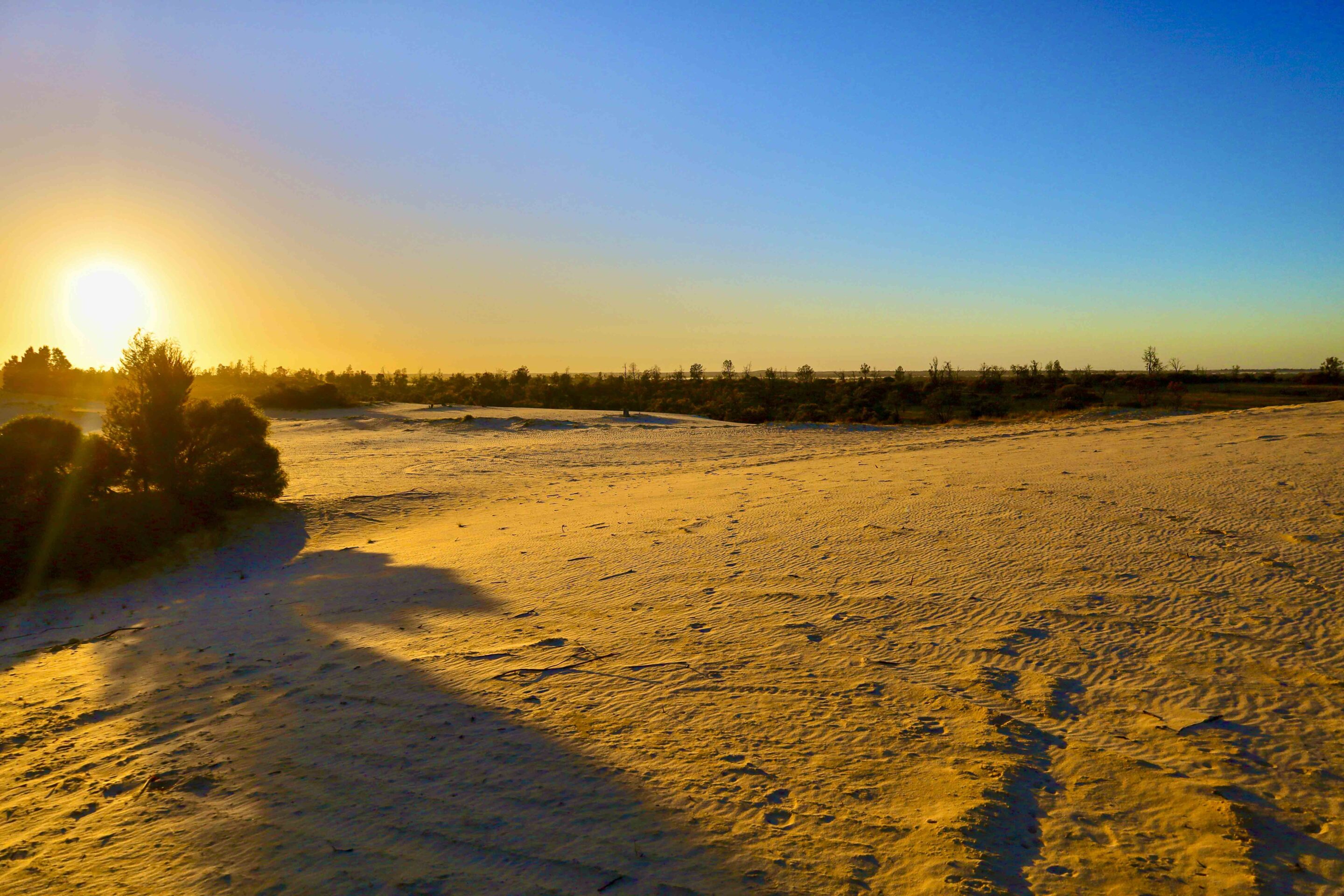
In the east, low heathland surrounds shallow, often dry lakes, ringed with towering red gums, wattles, casuarinas, and cypress pines. Snowdrift Campground, framed by a giant sand dune, is considered one of the park’s most scenic campsites. It features firepits, toilets, and broad camping spaces. Climbing the dune is a challenge, but the panoramic views are a fitting reward. Foggy sunrises create an ethereal atmosphere, while the sunsets cast a golden glow over the entire park.
Further south, Wonga Camping Area offers 2WD access and serves as a launching point for walking trails and a 15km circuit drive around Lake Brimin, with interpretive signage highlighting the unique mallee landscape.
Historically, Pine Plains Station once covered 18,000 hectares in 1855, later split into two sections. The southern area became Wonga Lake Station. Today, a replica hut built in 1934 offers visitors shelter from the elements, while nearby, Parks Victoria has constructed a large information centre detailing Indigenous, pastoral, and ecological histories. A restored whim is also on display – a simple mechanical device originally powered by a horse to draw water from a well, first installed in 1865.
7
From Wonga, the Fwy Track heads north, reaching into the park’s remote northern extremes. High-clearance 4WDs are required, and towing is not recommended due to soft sand. Travellers are advised to monitor UHF channel 16. Along this route, restored rabbiters’ camps recall a period in the 1870s when rabbit plagues swept the region, and many settlers turned to trapping for income. One hut has been preserved, complete with artefacts and displays capturing that era.
Wyperfeld is a park of surprises – rich in history, home to rugged mallee country, and full of excellent sand-driving and camping opportunities in one of Victoria’s most remote and beautiful regions.
About the park
Wyperfeld NP blends Wilderness Park and State Forest areas across a vast expanse of mallee country, interlaced with historic stock routes. Located near the Victoria-South Australia border, about 450km northwest of Melbourne, this 357,000ha reserve is the third-largest national park in the state and a key site for species like the mound-building malleefowl.
What to see and do
With remote walking trails and 4WD tracks, Wyperfeld is ideal for off-grid adventures. Campgrounds are scattered throughout the park, many offering seclusion and scenic views. After rains, wildflowers bloom across the semi-arid landscape. Historic 4WD tracks like the Nhill-Murrayville and Milmed Rock Tracks challenge drivers, while sites like Big Billy and Snowdrift offer comfortable camping with interpretive features.
More information
The closest towns are Murrayville (33km north) and Horsham (110km south). Park entry points feature information boards and maps. For up-to-date navigation and POIs, the Victorian Government’s ‘More to Explore’ app is recommended. Summer temperatures can be extreme; the best times to visit are mid-spring and autumn.
Free app
The Friends of Wyperfeld National Park have released a free app – the first of its kind for a Victorian national park – designed to help visitors plan and explore Wyperfeld. Available on Android and Apple stores, the app offers essential information on the park’s features, camping areas, and best visiting times.
The App is available free for download from both the Android Play Store and the Apple App Store. Just search for Wyperfeld.
Follow 4X4 Australia on Google
Get more 4x4 news, reviews and gear stories from 4X4 Australia in your Google feeds.