Explore QLD


Gallery 1
There are destinations in this great country of ours that I keep coming back to, like a moth to a flame.
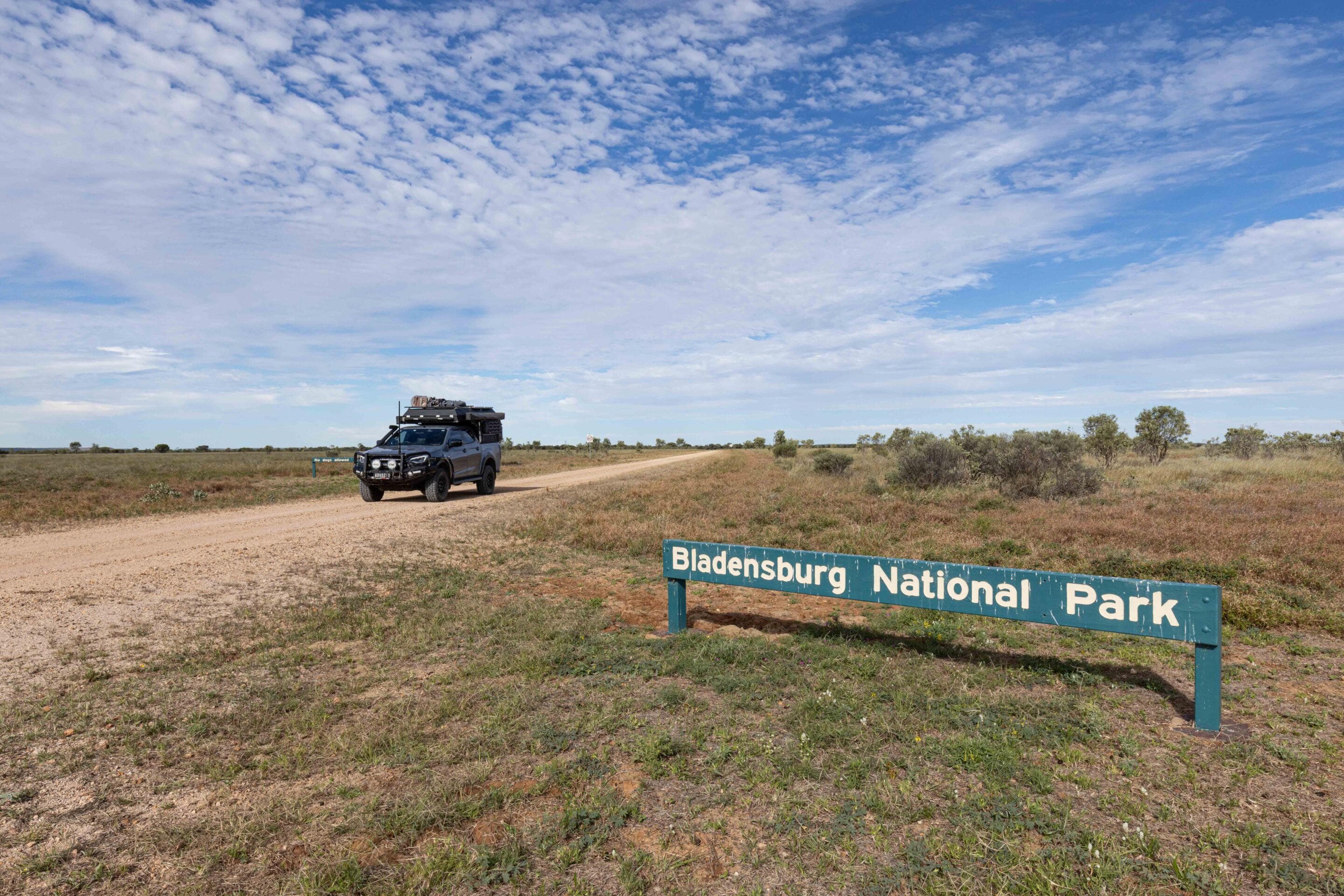
Some people keep crossing the Simpson, while others tackle the Cape every year. I keep getting drawn back to the national parks of outback Queensland, with one in particular constantly pulling me back through the gates: Bladensburg National Park.
Maybe it is the sheer scale of the place. Maybe it is the combination of history and harsh beauty. Or maybe it is because every time I visit, the park feels completely different. Dry years paint the landscape in dusty browns and greys, while the wet transforms the country into a sea of green Mitchell grass stretching to the horizon. This latest visit came after the big rains and flooding events of 2025, and Bladensburg was unlike anything I had seen before.
1
Bladensburg after the floods
The wind was blowing an absolute gale as I rolled into the park.
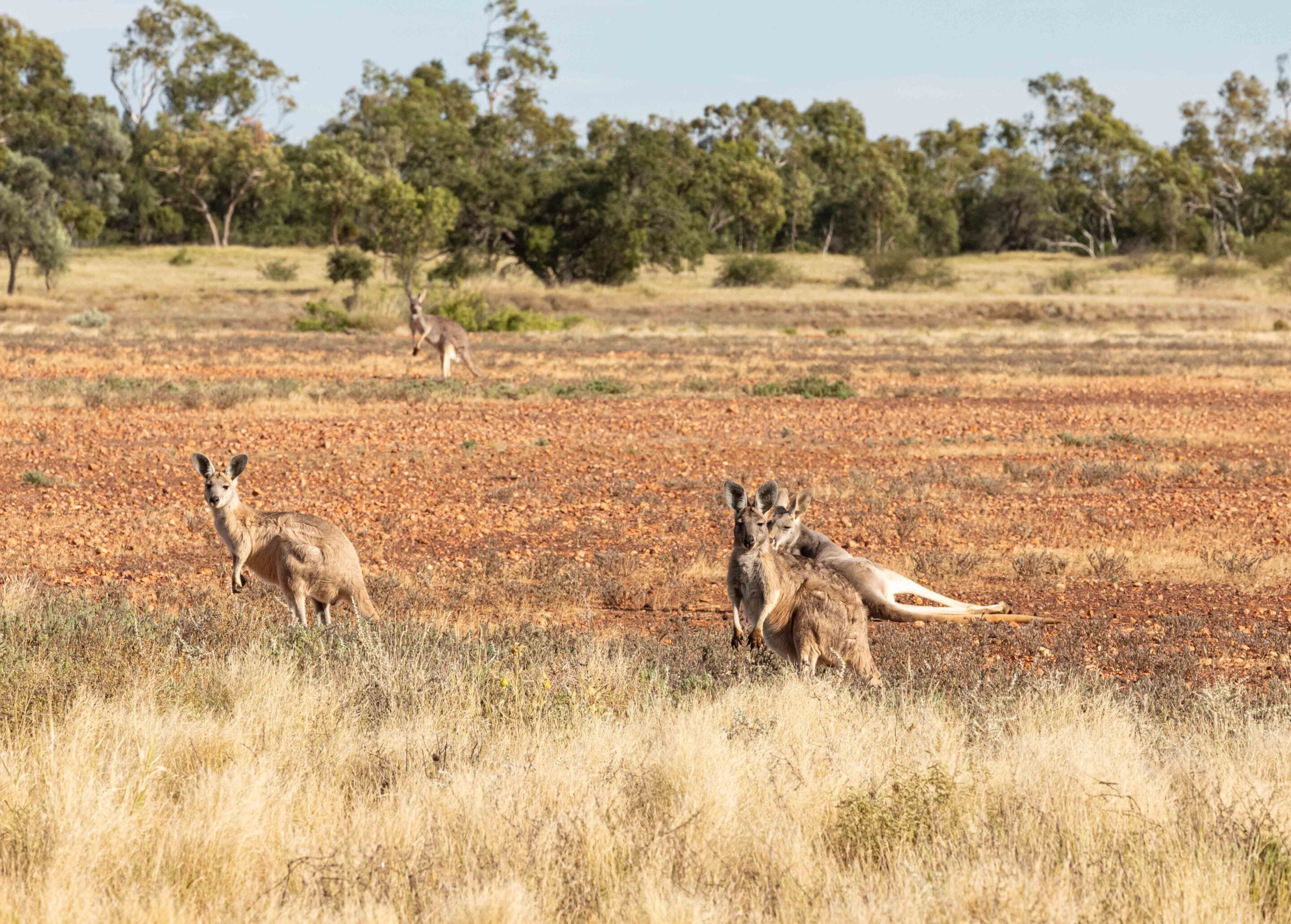
A falcon perched awkwardly on top of a fence post, struggling to stay balanced in the crosswind. Hunting would have been hard work for the bird that day. Around it, the Mitchell grass stood taller and greener than I had ever seen it in this park. Kangaroos grazed contentedly across the plains, while emus wandered through the fresh growth, enjoying the abundance the rain had brought.
The drive into Bladensburg is deceptively simple. Sitting just outside Winton, the park feels accessible, but once you are within its boundaries the modern world quickly fades away. This was once a vast sheep station, and evidence of that pastoral past remains everywhere you look.
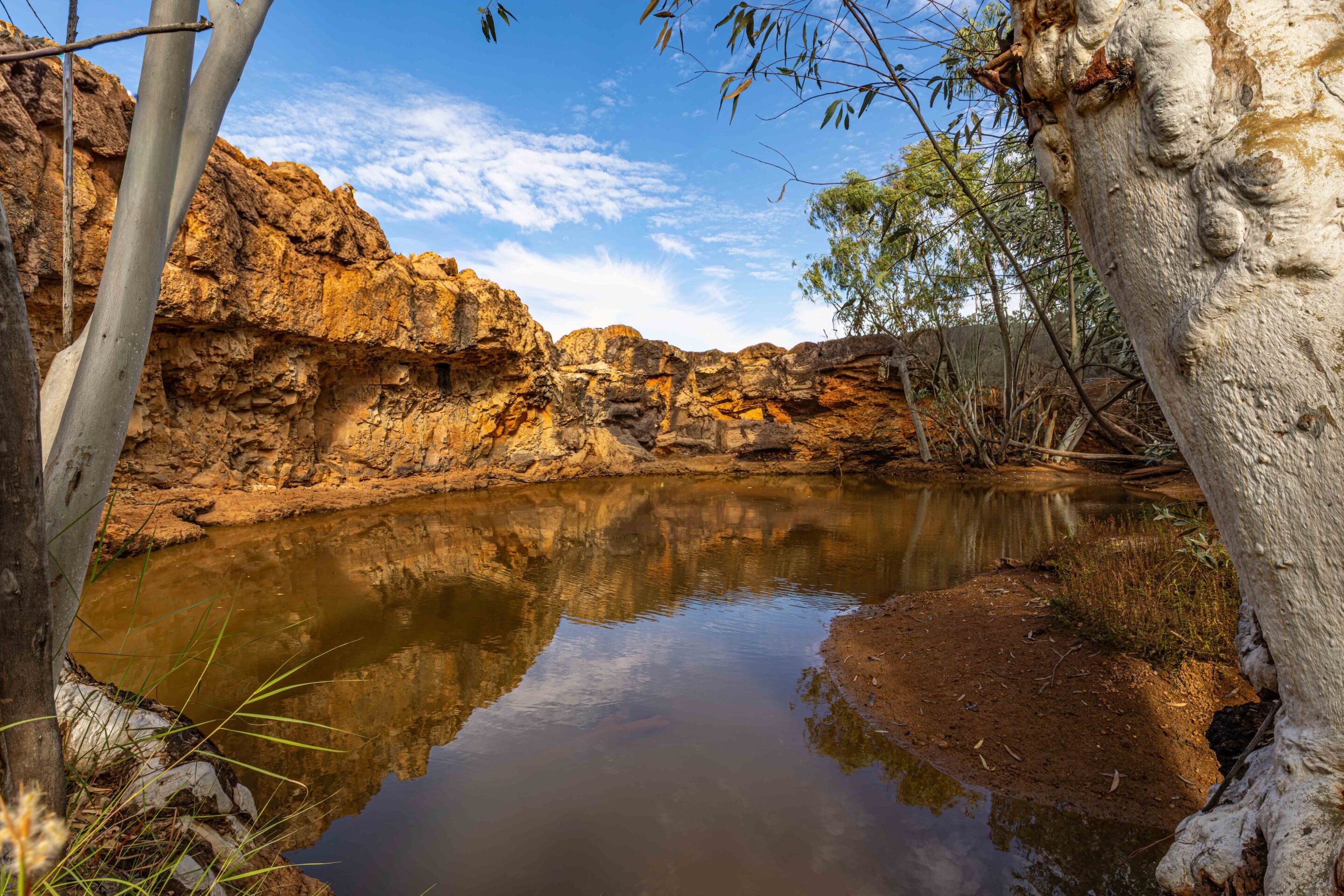
Bladensburg also carries deep scars from Australia’s frontier history. One of the first stops along the Route of the River Gums is Skull Hole, a place of striking beauty and terrible sadness. The waterhole itself is picturesque, framed by rock and river gums, but its history is dark. It is believed that around 300 Aboriginal people were massacred here by Queensland’s Native Mounted Police in retaliation for an attack on a wagon carrying station supplies, after an Aboriginal woman had reportedly been assaulted. Standing there today, it is impossible not to feel the weight of what happened.
1
I am surprised there is not more interpretation at the site explaining the events that unfolded here, because places like this matter. They are part of the story of the outback, whether we are comfortable confronting that history or not. Even when water is trickling into the waterhole, I have always found Skull Hole a confronting place to visit. Beautiful, yes, but also haunting.
Not far away is Engine Hole, although the track there remains closed following major damage from the wet weather in 2025. It is a shame, because Engine Hole is one of the park’s best picnic spots, tucked beneath magnificent river gums beside the creek. Hopefully, repairs progress quickly because it is a cracking little corner of the park.
The impacts of the flooding are still obvious across Bladensburg. Heavy rain and flooding linked to the remnants of Cyclone Alfred hit parts of the park hard in March 2025. Soil erosion washed through the campground and roads, while some facilities suffered extensive damage.
1
One casualty was the excellent Bough Shed campground, which sadly remained closed at the time of travel while repairs continue. Queensland Parks and Wildlife Service (↗) hopes to reopen it soon. That closure is disappointing because Bough Shed has long been one of my favourite outback campgrounds. Set beside Surprise Creek beneath shady river gums, it is one of those places where the camp chair comes out early and somehow stays out all afternoon.
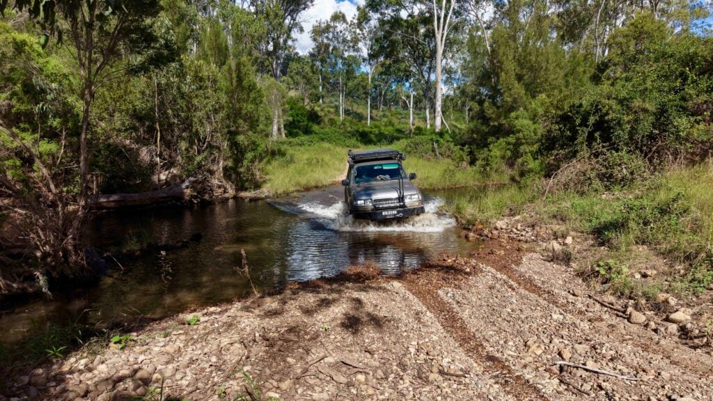
I have spent many nights camped there listening to butcherbirds and corellas calling through the river gums as the fading afternoon light washed across the plains. Even Surprise Creek Top Crossing had changed dramatically since my last visit. Where there were once deeper washouts and rougher approaches, sand has now filled many of the holes, and the crossing is considerably tamer.
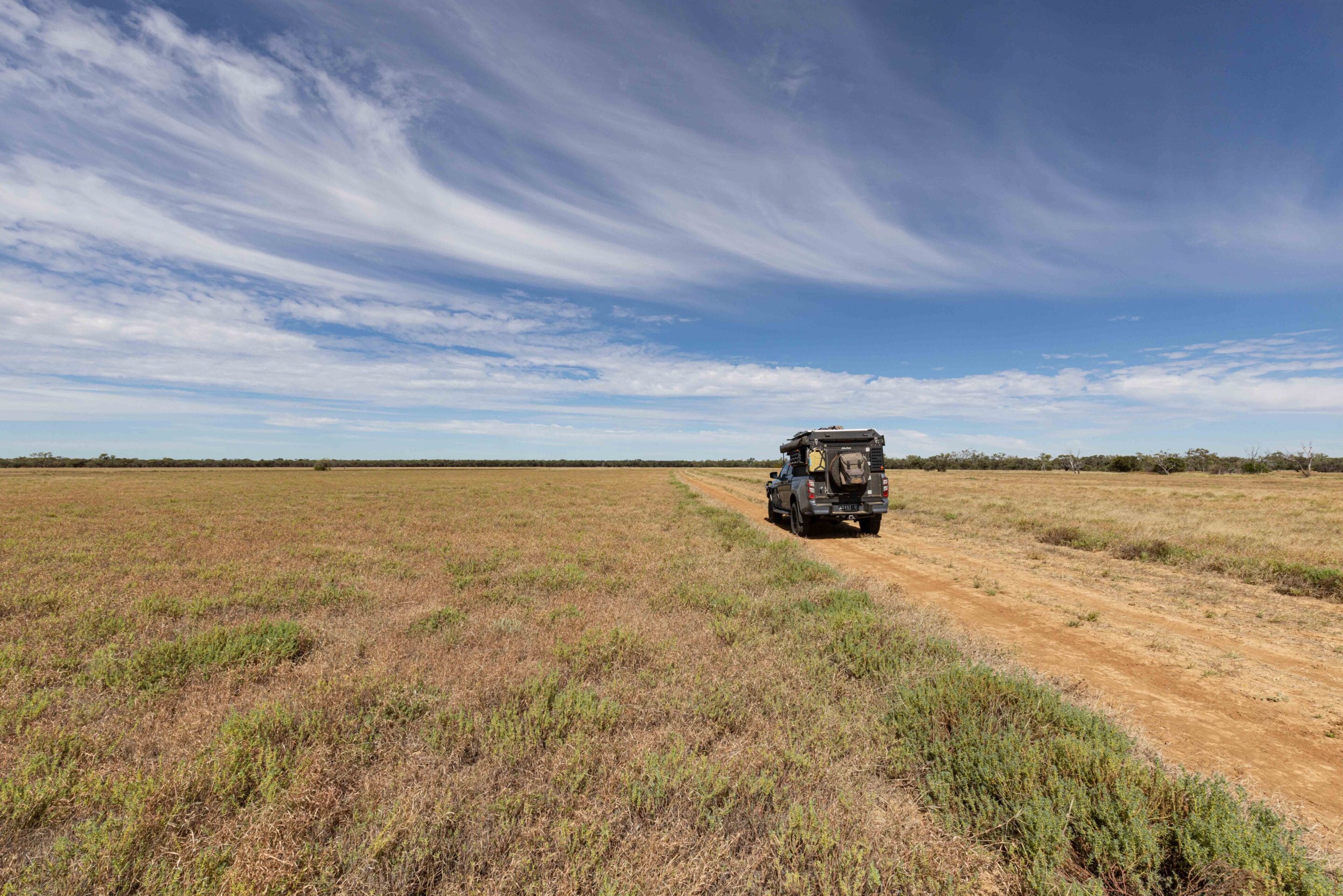
In fact, much of Bladensburg appears to have been graded recently. Tracks that once bounced and rattled your vehicle relentlessly are now smoother and more accessible than I have ever seen them. Some experienced four-wheel drivers may miss a little of the challenge, particularly on Scrammy’s Drive. Still, it also means more travellers can comfortably experience this spectacular part of outback Queensland without needing a heavily modified setup.
1
Exploring the route of the river gums
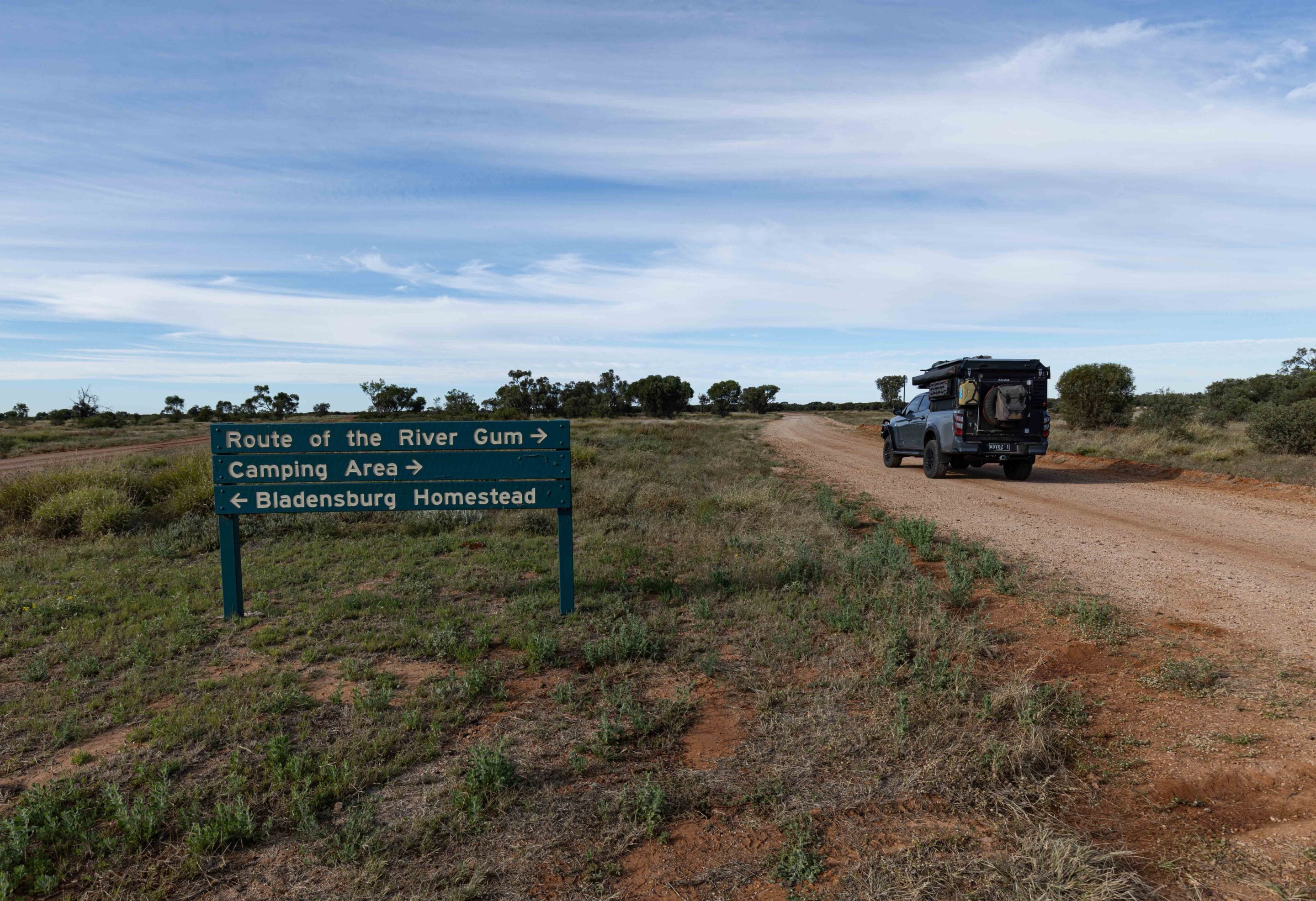
The Route of the River Gums is certainly accessible to most vehicles in dry conditions. It winds through creek country lined with coolabahs and river red gums before linking together many of the park’s historical attractions.
Wildlife was everywhere during this visit. The amount of feed around the park after the rain was staggering. Big red kangaroos bounded across the plains, while emus wandered through the grasslands in small groups. At one point, I startled a flock of bustards, or plains turkeys as they are often known out here, which lifted awkwardly into the wind before disappearing across the Mitchell grass plains.
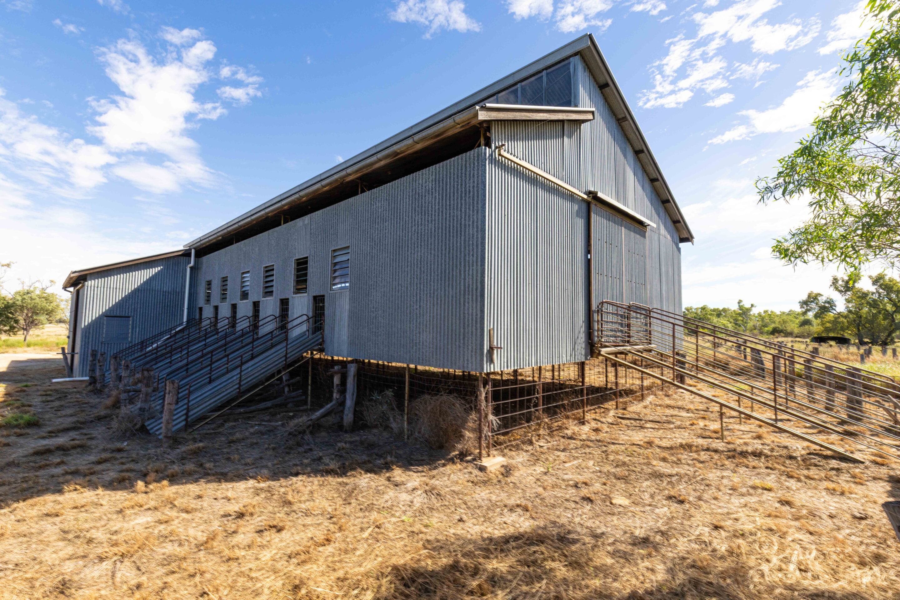
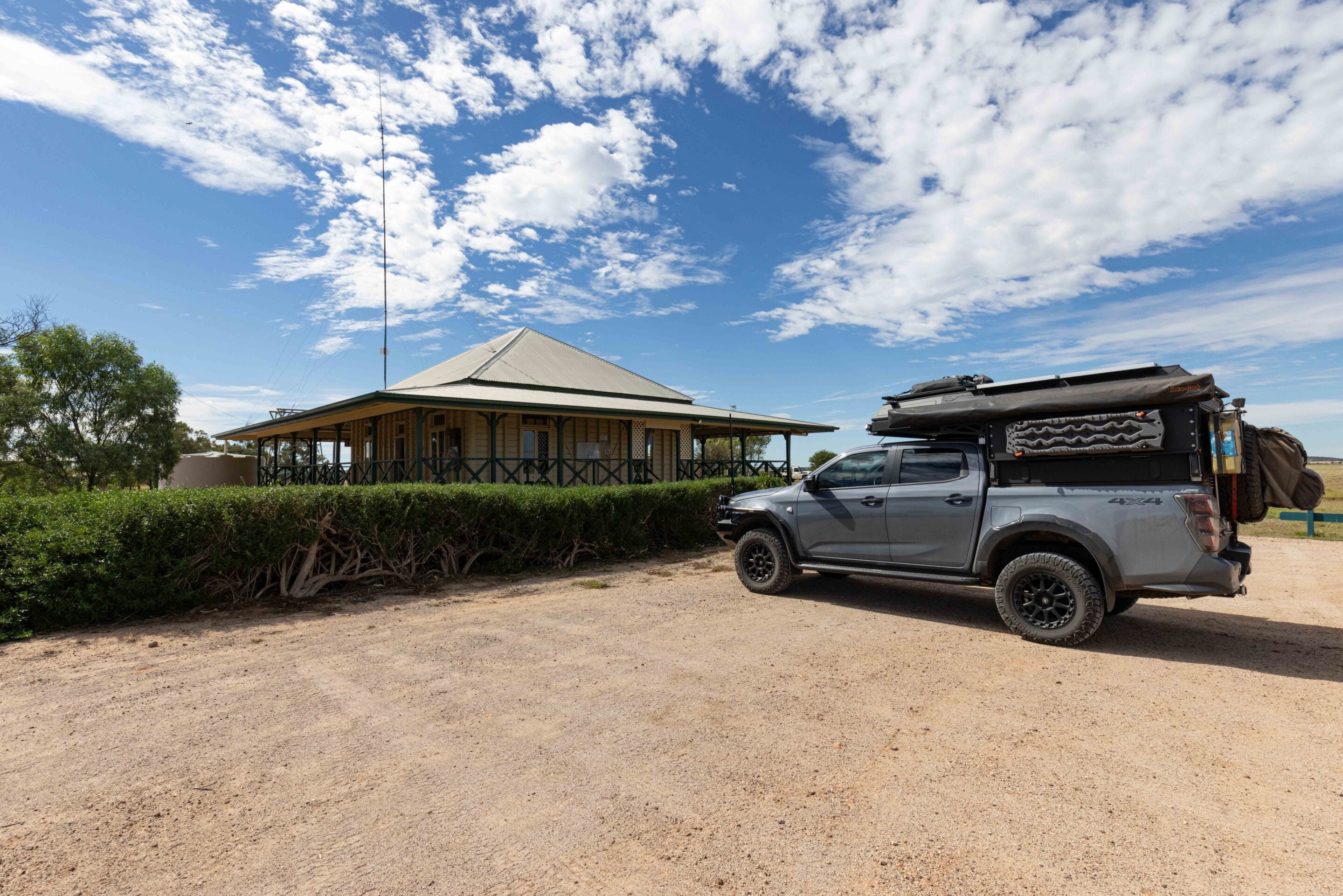
Crossing Mistake Creek at Shorty’s Crossing eventually brings you to the homestead precinct, the historic heart of Bladensburg. The old woolshed immediately grabs your attention.
1
History at the Bladensburg Homestead
This place once supported enormous numbers of sheep, and in 1919 the property reportedly carried around 67,700 sheep, the highest total recorded on the station.
Back then, shearing season was a major operation, with an overseer, shearers, wool classers, rouseabouts, a wool presser and a cook all working through the intense outback heat. The original shearing shed was built in 1925 because, prior to that, sheep were taken elsewhere to be shorn. Sadly, that shed was accidentally destroyed by fire in the early 1960s, reportedly after being burnt down by the manager’s son. The replacement shed standing today dates from the mid-1960s.
Walking through it now is strangely quiet. The smell of lanolin is sadly absent, and the frantic energy that once filled the shed is long gone, but the building still tells stories if you slow down and look closely enough. The homestead itself provides a fascinating insight into both the property’s pastoral history and the country’s cultural significance to the Koa people. Inside, interpretive displays explain the natural and cultural values of the landscape through the eyes of the Traditional Owners, while also documenting the hardships faced by those who attempted to run sheep and cattle in this unforgiving environment.
Outside, it is worth wandering through every outbuilding. The old store, the bookkeeper’s office and the surrounding structures all help paint a picture of station life in remote Queensland more than a century ago. I still marvel at the simplicity of the old meat houses that somehow kept food cool and usable through brutal summers long before refrigeration arrived in the outback.
1
Scrammy Drive
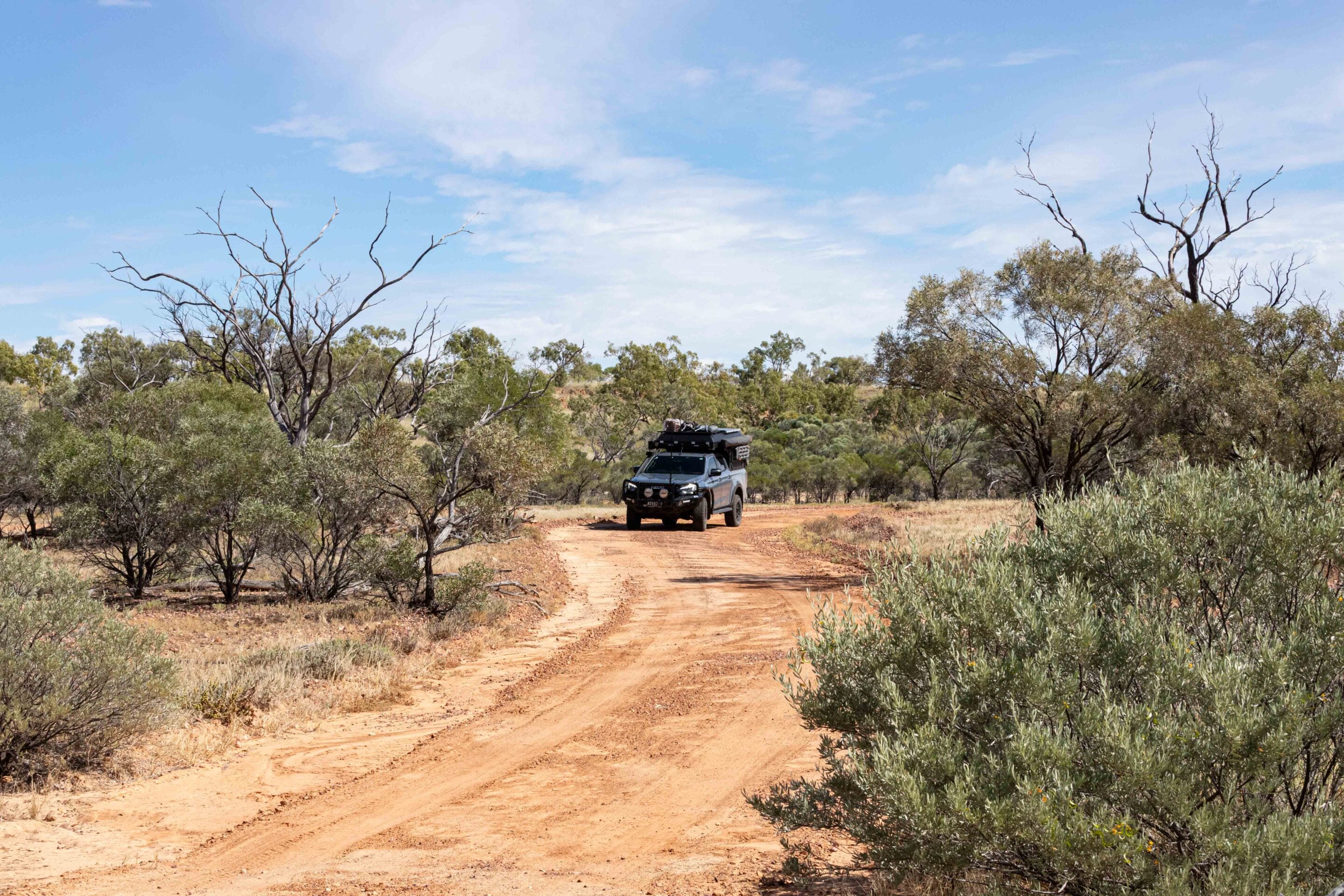
From the homestead, the adventure really begins. Scrammy Drive remains the signature four-wheel drive route in the park, and while it has become more accessible in recent years, it is still best tackled in a high-clearance four-wheel drive.
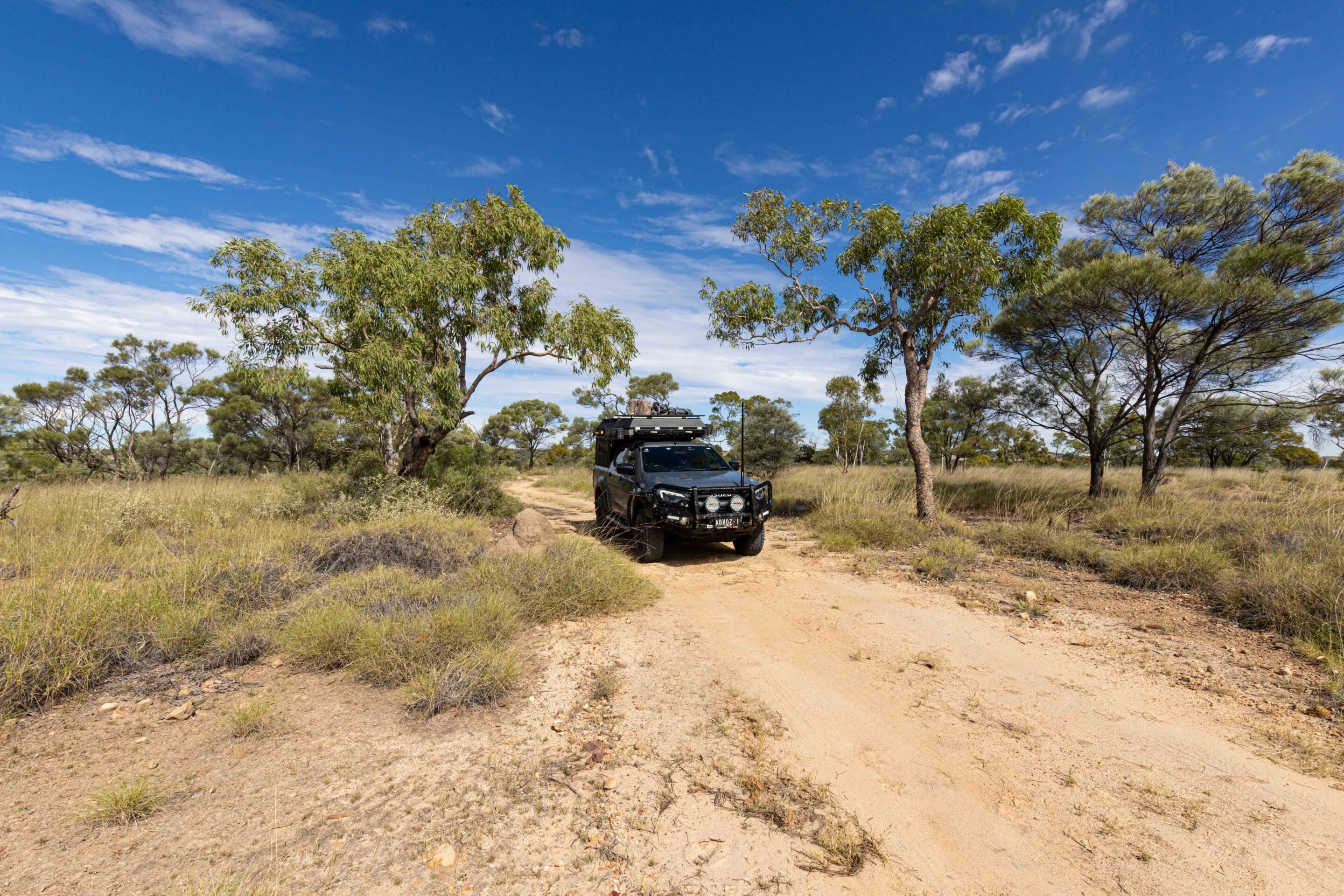
The route quickly transitions from Mitchell grass plains into rougher country scattered with gibbers, spinifex and gidgee woodland. Following the rain, much of the landscape was almost unrecognisable from previous visits. Green growth softened the harshness of the gibber plains, and sections that usually looked dry and dusty now appeared alive.
At times, it was difficult even to tell where the gibber country ended and the black-soil plains began. History is hidden throughout Scrammy Drive. At one point, the area even hosted a racecourse for training horses for the Winton races. Looking across the open country, you can almost picture stockmen and horses working this landscape in another era.
1
Then there is the grave of baby Delia Dalrymple. Sitting quietly beside the track in the middle of nowhere, the small grave is a confronting reminder of just how harsh life in the outback once was. Delia died in January 1887 after a short illness believed to have been related to teething complications. Today, her lonely gravesite still sits out among the spinifex and gibbers, exposed to the same heat, storms and isolation that defined life here more than a century ago.
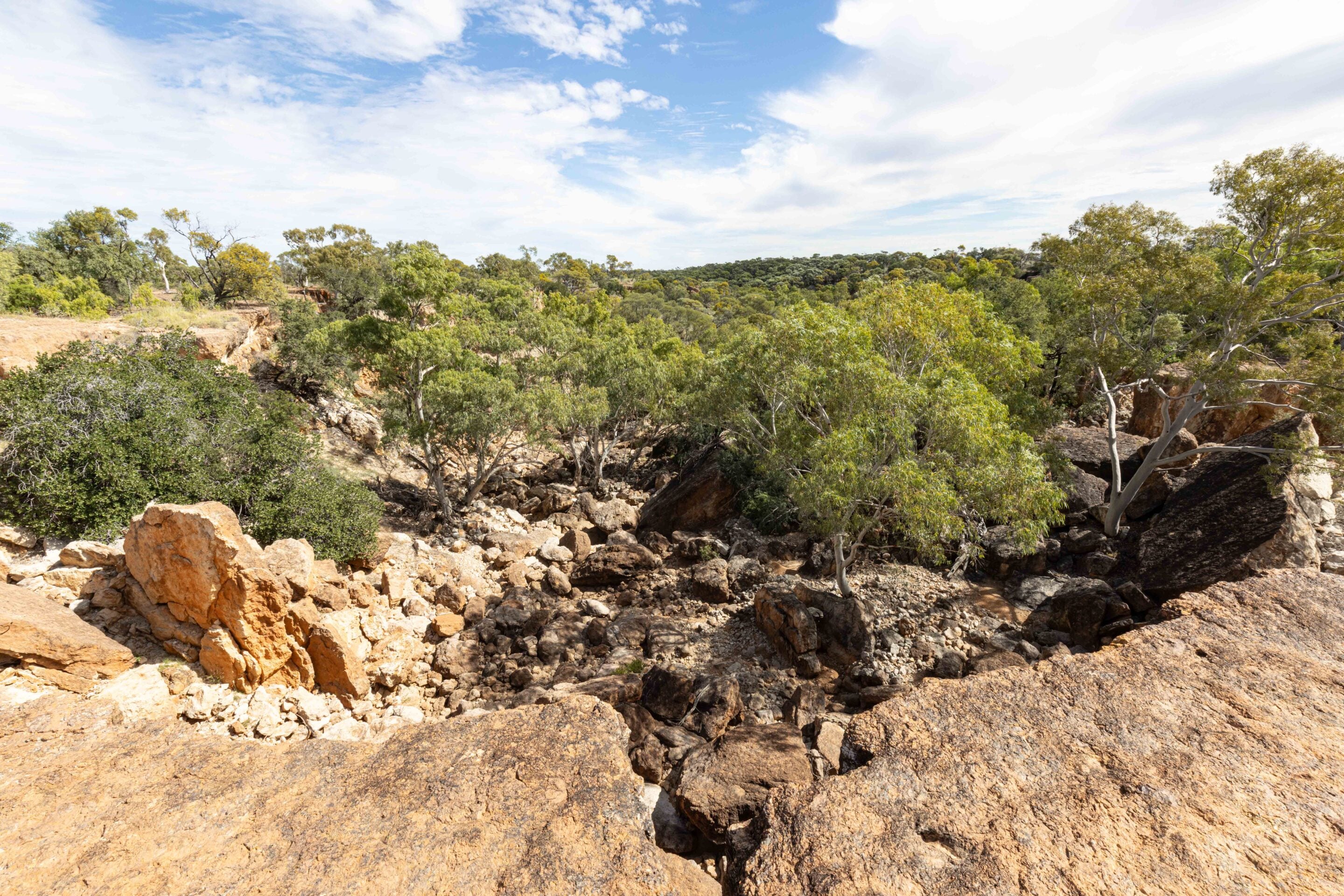
Further along, the track begins climbing gently onto the escarpment country. Older visitors to Bladensburg may remember this section being rougher and more challenging than it is today. These days, the climb has been tamed somewhat, although the rocky base still keeps speeds down and ensures the suspension gets a workout.
One old windmill now lies collapsed beside the track, slowly rusting back into the landscape. Eventually, the track reaches Scrammy Gorge, one of the standout lunch stops in the park. The gorge walls are impressive but fragile, and you can clearly see where sections continue to crack and collapse over time. It is a reminder that this landscape is constantly changing.
4
Scrammy Jack and the Channel Country
From here, it is only a short drive to Scrammy’s Waterhole and the lookout beyond.
The story behind Scrammy himself adds another layer to the park’s fascinating history. Scrammy Jack, whose real name was John Toon, worked as a boundary rider on the old Bladensburg run. He lived a solitary existence beside the waterhole, with supplies occasionally dropped off for him, but otherwise avoided human contact as much as possible.
In January 1893, Scrammy drowned in the waterhole and his body was later found there. Today, the waterhole is peaceful and surrounded by birdlife. Finches dart through the trees, while bush doves and whistling kites patrol overhead. It is hard to imagine the isolation Scrammy must have experienced living out here alone.
The final run out to Scrammy’s Lookout has also changed since my last visit. A rocky creek crossing that once added a fun technical element to the drive has since been filled in, another sign of how the park roads have evolved after recent weather events and grading work.
1
Honestly, once you reach the lookout, none of that matters. The view is extraordinary. From the escarpment edge you can see endless Mitchell grass plains rolling away into the distance toward Queensland’s Channel Country. It is one of those landscapes that makes you stop talking for a while. The scale is difficult to comprehend, and you could easily sit there for hours simply watching the light and shadows move across the country below.
That is the thing about Bladensburg. This place is layered with stories. It is a landscape shaped by the Koa people over thousands of years. A place marked by violence and tragedy during frontier settlement. A station that battled drought, flood and isolation while trying to survive in harsh country. And now it is a national park still at the mercy of nature, recovering from floods one season and baking through drought the next.
Every visit feels different because the landscape itself is constantly changing. Yet somehow, the spirit of the place always remains the same. Bladensburg is not Queensland’s toughest four-wheel drive destination, and it is not trying to be. What it offers instead is something deeper. Big landscapes. Genuine history. Solitude. Wildlife. Campgrounds beneath river gums. Escarpments glowing red in the afternoon sun.
It is outback Queensland at its absolute best. And every time I leave, I already know I will be back again.
Bladensburg National Park FAQ
Where is Bladensburg National Park?
Bladensburg National Park is in outback Queensland, with Winton the gateway to the park and the best place for fuel, supplies and accommodation.
When is the best time to visit Bladensburg National Park?
The cooler months between April and September are the most comfortable time to explore Bladensburg National Park. Winter days are ideal for camping and touring, while summer temperatures can be extreme. Following good rain, the park transforms with green Mitchell grass, abundant birdlife and flowing creeks, although wet weather can also close tracks and campgrounds. Always check park alerts and road conditions before travelling.
What do I need to take to Bladensburg National Park?
Take recovery gear, including a snatch strap and a shovel, along with a tyre repair kit, compressor, UHF radio, plenty of drinking water, food and supplies, sun protection, insect repellent, and camping gear if staying overnight. There are no services in the park. A camera or binoculars are also worthwhile for wildlife viewing.
Is Bladensburg National Park suitable for 4WDs?
The Route of the River Gums is suitable for most vehicles in dry conditions and provides easy access to many of the park’s historic sites. Scrammy’s Drive requires a high-clearance 4×4, particularly after rain, with rocky sections, creek crossings and escarpment country. Recent grading has made some sections easier than in previous years, but conditions can change quickly following wet weather.
Can you camp at Bladensburg National Park?
Camping is available at Bough Shed; however, check with QPWS (↗) as it may be closed during flood recovery works. Bookings are essential. Free camping is available outside the park at Long Waterhole and Mistake Creek, or there are caravan parks in Winton. I recommend the Tattersalls Hotel Caravan Park.
What are the best reasons to visit Bladensburg National Park?
Bladensburg National Park offers big outback views from Scrammy’s Lookout, rich pastoral and Indigenous history, excellent wildlife and birdlife, easy access from Winton and scenic high clearance 4×4 touring on Scrammy’s Drive.
Where can I check park alerts and road conditions?
For current park alerts, camping bookings and road conditions, check the Queensland Parks website (↗) before travelling.
Follow 4X4 Australia on Google
Get more 4x4 news, reviews and gear stories from 4X4 Australia in your Google feeds.


We recommend
-
 Explore QLD
Cape York’s Old Telegraph Track: The ultimate 4x4 challenge
A ragtag team of adventurers tackle the legendary Old Tele Track
-
 Explore QLD
Eulo Queen Hotel: Where history and hospitality meet
Follow the bitumen through Queensland’s red heart to Eulo, where cold beer, outback legends and warm country charm collide
-
 Explore QLD
Cape York by 4x4: A practical guide to reaching Australia’s tip
You want to take a trip to the Tip? Here’s what you need to know to get there and back safely – and make the most of one of Australia’s greatest off-road adventures