Explore QLD

Gallery 1
KROOMBIT Tops National Park, located about three hours’ drive west of Rockhampton in Queensland, has been on our bucket list for quite some time. And, after much digging, we found more than what we bargained for.
Most people who visit the park generally come in from the north, but our exploration began from the east at a little town called Miriam Vale. After talking to some locals they suggested we cut through the Boyne Valley and enter via Ubobo towards Kroombit. “As long as you’re totally self-sufficient,” they said.
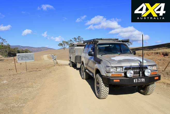
The road is narrow and unsealed west of Ubobo, passing through extremely dry paddocks and dried-up creeks and dams. We followed Cedarvale Road and then Clewleys Gap Road for a good 20km, where small signs along the route indicate you’re heading in the right direction.
1
Eventually we arrived at the Kroombit cattle station, where we turned south and followed Mahoon Creek Road through some pretty steep ridgeline tracks and eventually onto Monal Road.
It is here, along Monal Road, we were told to keep an eye out for old mining relics and cemeteries the Queensland Heritage Association has signposted. Back in the 1890s gold was discovered in this valley, and by 1892 a proper road was cut in and a town emerged with hotels, a store, post office, market gardens and a little school.
However, by 1912 the gold had all but dried up; some miners persisted with little success, but by 1916 the school and post office had closed and eventually the buildings were gone by 1925.
1
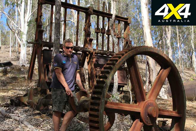
Today you can walk around the mining relics, which include a huge 10-head stamper, boilers, a steam-driven engine, tower buckets and various wheels. Due to the extremely remote and rough conditions of the area, it’s reported that the boiler and stamper were brought in by a team of 52 horses pulling a single dray at any one time. It was low 4WD when we tackled the same hill, both up and down. If you follow the track past the mining equipment it will take you into the Monal Valley, where the main mine was located.
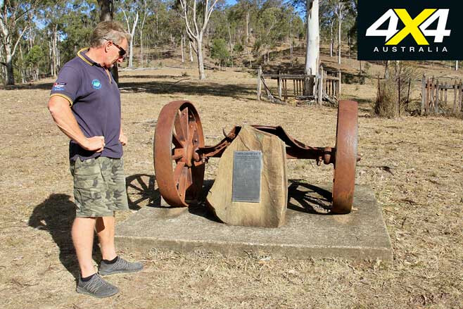
Following another lead we headed back up the main road, where we found the historical cemetery of Monal. A memorial plaque pays respect to the several dozen people buried here in unmarked graves in the open paddock – it was obviously a hard life when you see the ages of the deceased.
1
Retracing our steps back to the property we’d passed earlier, we turned left towards the signposted Kroombit Tops NP. The diff-busting roads coming in from the east are narrow, steep and rocky, yet the views across the mountains are nothing short of spectacular.
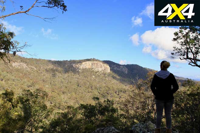
An old dray that was once used to drag massive logs can be seen as soon as you hit the NP entry sign. An information board provides relevant tips on where to camp, points of interest and other relevant details. As we were towing a camper our choice of camp was Griffiths Creek camping area, which has tall gums that provide plenty of shade, huge fire pits and around 50 acres of manicured grass – kept neat by the wild horses that roam the area. A great spot to stop en route to the camping area is at Griffith Creek lookout, which has stunning views into and across the Boyne Valley.
1
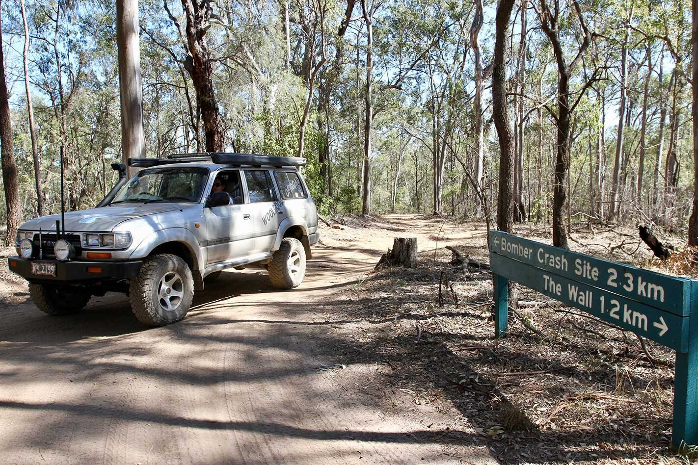
There are only three roads in and out of Kroombit Tops, plus one loop road to an aeroplane wreck. Heading to the wreckage is as simple as jumping back onto the loop track just 6km from the camping area. It’s a rough 35km loop track, where you really need to knock some air out of the tyres due to the harshness and sharpness of the rocks.
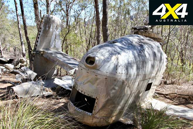
It has been said that Kroombit Tops has some of the most inhospitable mountains around, and as you drive along it’s easy to see why with sheer cliff faces and massive drops either side. Midway along you’ll come to the Bomber Crash Site parking area, where a 400-metre walking track leads to the wreck.
1
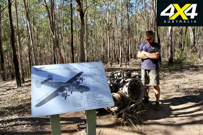
According to experts, the flight crew only had seconds notice that something was amiss, hence why no SOS was sent out, the landing gear was still up and the propellers were at full pitch speed (see Beautiful Betsy below). At the wreck site, the four engines are located about 100 metres from the main wreckage and the intact tail section – the main body exploded – is twisted among the trees. You can also find old instrument gear scattered around.
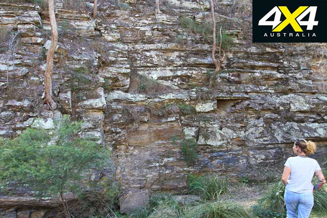
Upon leaving the crash site the track leads past the Wall camping area, which is 4WD only and one-way, with steep rocky sections leading into camp. The Wall track follows the ridgelines along the western side of the park, where there are plenty of views across sandstone escarpments and deep gorges.
1
Kroombit is home to nearly 800 different tree species, as well as the critically endangered Kroombit tinker frog – experts say only 300 tinker frogs exist in Kroombit. The one-way loop track eventually joins back up to its starting point and back to camp. From Griffiths Creek camping area the track passes Forestry Barracks Camp, while the 4WD-only Razorback Trail back to Biloela isn’t recommended for trailers due to its steep, narrow sections.
The well-maintained Tableland Track past the Barracks is the track most visitors use, as it wanders past the Calliope Range, with Mount Chapman, Mount Rideout and the impressive Amys Peak in the distance. The road flattens out at Callide Creek, and once out of the park it’s a good run through private stations until bitumen returns at Calliope.
Kroombit is a harsh place, with little traffic and minimal phone reception, so you need to be totally self-sufficient. The park is aimed towards the visitor that is happy to take on the rough stuff, and it demands respect.
Beautiful Betsy
1
EIGHT crewmen died when Beautiful Betsy crashed on the mountain early one morning in 1945. What happened remains relatively unknown, but investigators have tried to piece the puzzle together.
Beautiful Betsy was an American WWII Liberator bomber which served its time during the war, but after it was found to be unsafe for further missions it was decommissioned for civilian life.
Repainted, it was used to fly throughout Australia, doing what was known as ‘fat-cat’ runs where it would collect fresh produce, ice-cream, alcohol and live animals for drops at Darwin. Named after the wife of the aeroplane’s first pilot, Betsy, it was also used for several parachute training drops.
On the night of February 26, 1945, when it set out from Darwin towards Brisbane, it never made it and was lost for many years. In 1994, when a park ranger was conducting a burn-off in the area, the wreckage was found with all onboard dead.
A team from the USA was sent out to retrieve skeletal remains, along with personal items, military goods and coins. The wreckage was left as it crashed all those years ago as a mark of respect to the eight onboard. Sadly, Flight Officer Cannon was onboard flying to Brisbane for his wedding day in four days’ time, and his best man, Lieutenant Cook, was also onboard.
Follow 4X4 Australia on Google
Get more 4x4 news, reviews and gear stories from 4X4 Australia in your Google feeds.