Explore NT
Gallery 1
The Northern Territory’s Limmen National Park sits on the edge of Gulf Country, between Roper Bar and Cape Crawford.
Access is via a seasonal well-graded road, with side tracks to camping and fishing areas. However, roads can be closed due to flooding from November until May when summer storms hit and create chaos across the Top End.
Limmen occupies 10,000km² on the eastern side of the NT, reaching out into the waters of the gulf in the adjacent Limmen Marine Park. Limmen is still managed by Parks NT and has its own ranger station, but the best part is the number of cheap and sometimes free campgrounds in the area.
This is remote country and very isolated, so trip and car preparation needs to be spot on. Limmen is also known for its massive sandstone formations aptly known as the Lost Cities, as well as access to the one-million-acre cattle station dubbed Lorella Springs Wilderness Park.

1
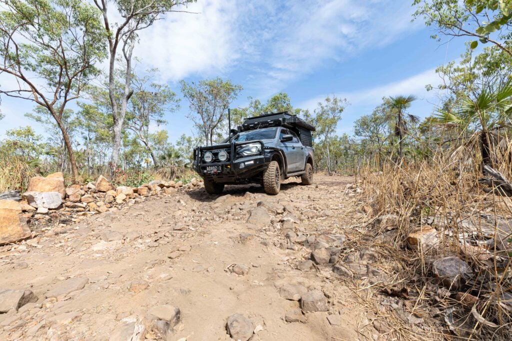
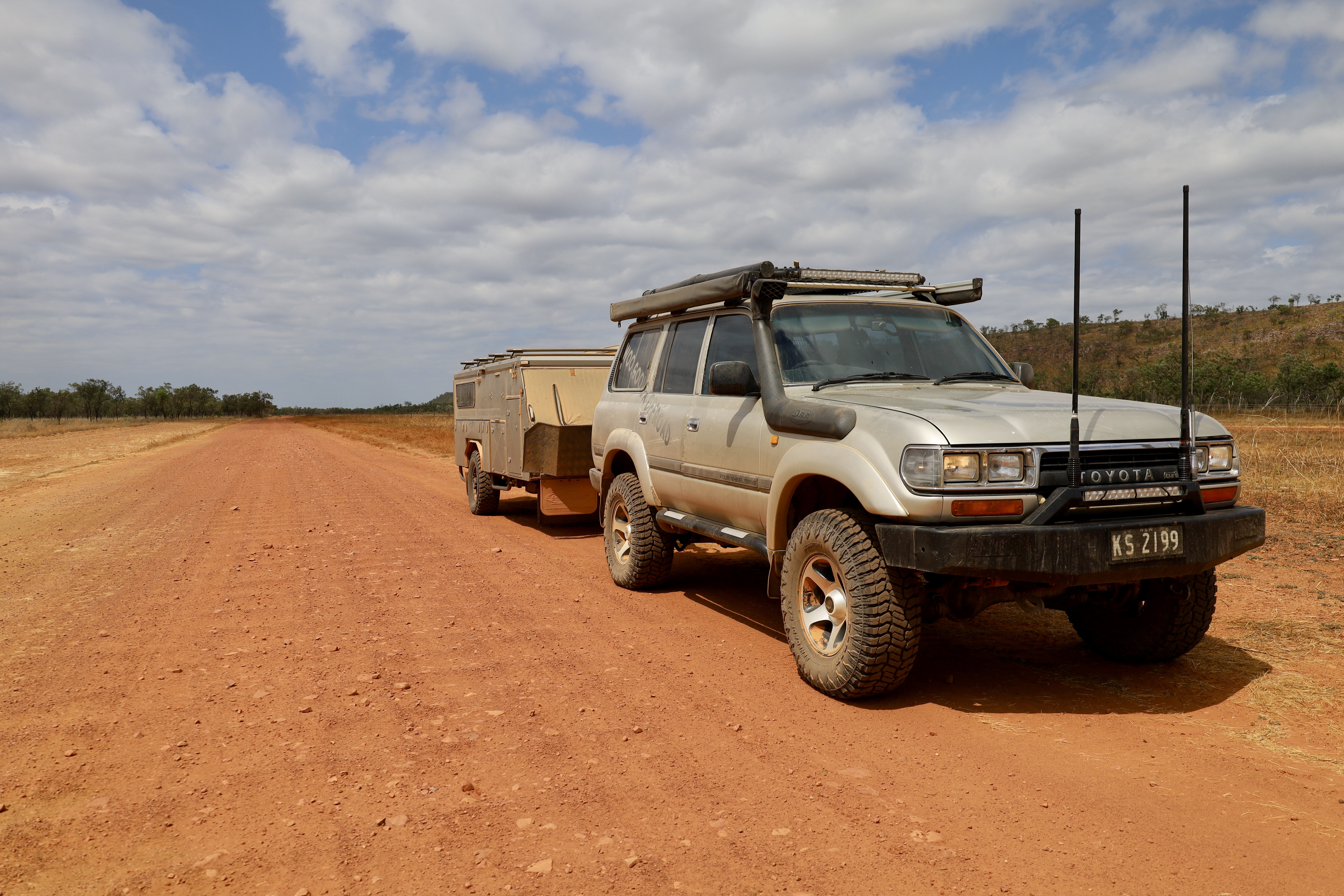
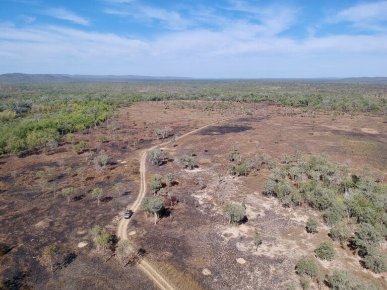
Our journey started from the eastern fringe north of Cape Crawford, but before hitting this remote section of the Gulf of Carpentaria I ensured I was full of fuel and groceries from the nearby settlement of Borroloola. There are two turns that head to Limmen and my choice was Ryans Bend Road that departs the Carpentaria Highway 26km out of Borroloola and bisects Nathan River Road, which is the main thoroughfare traversing Limmen NP.
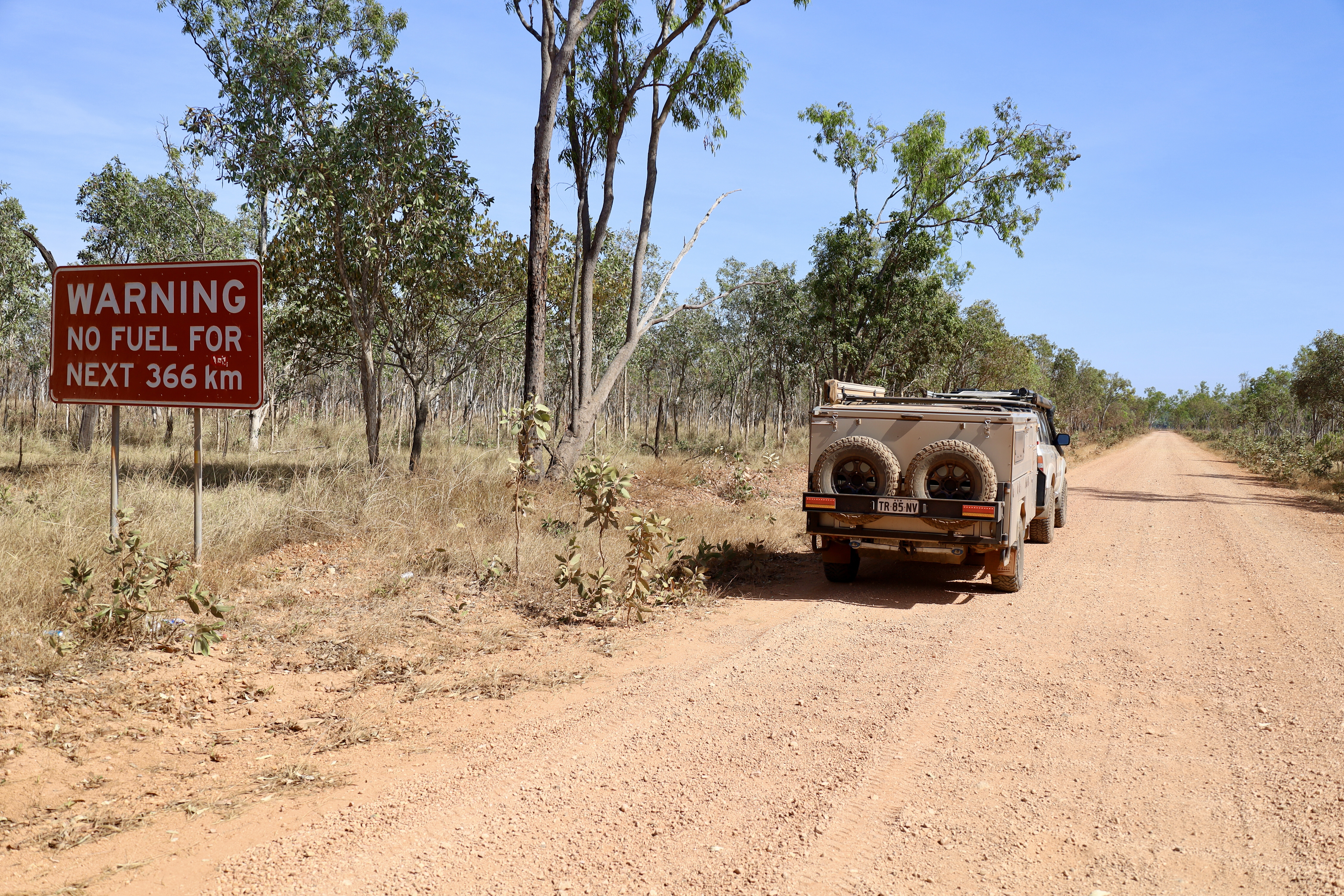
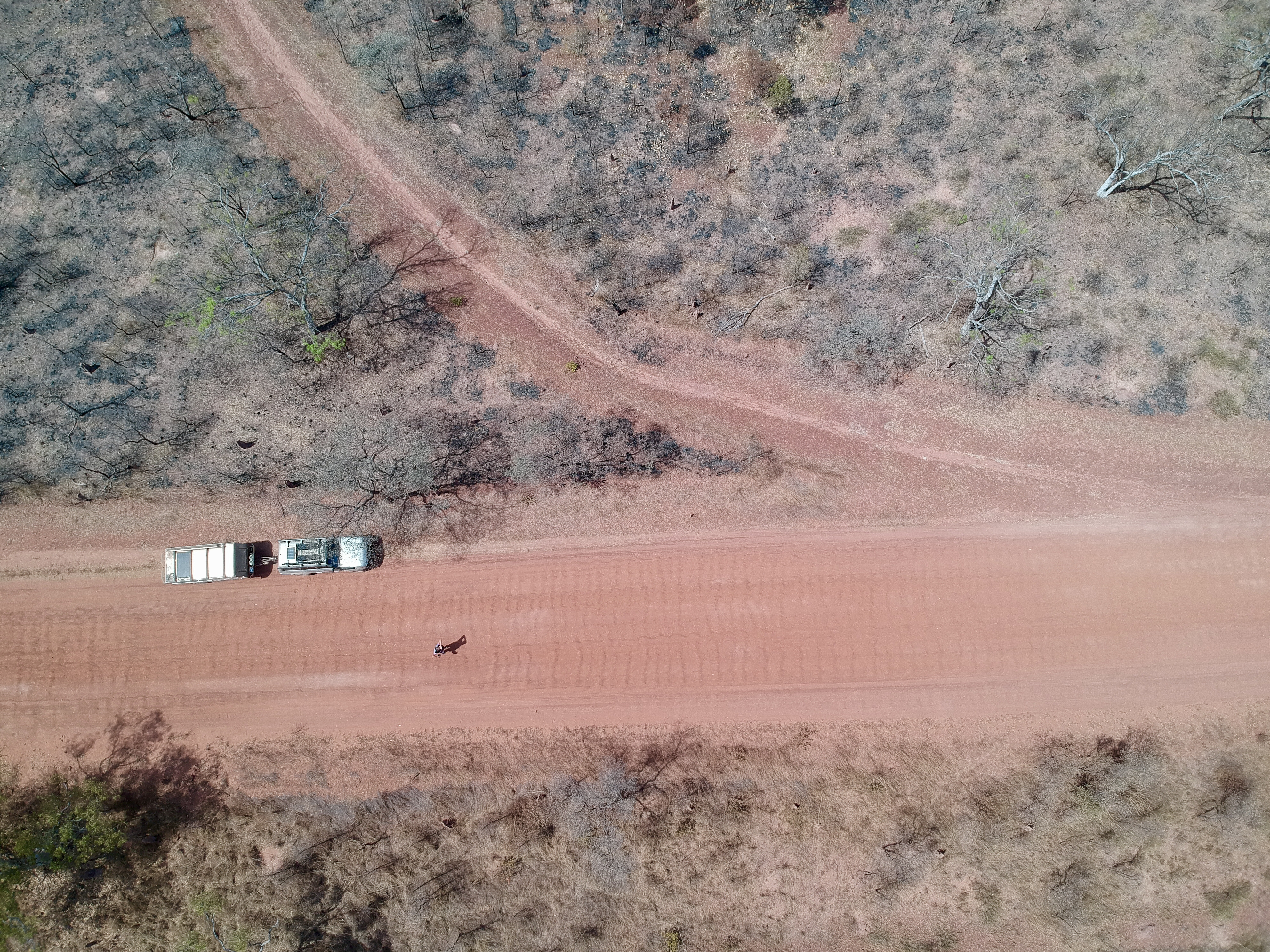
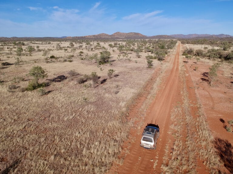
Right from the start, the road is pretty average and a sign states it’s remote travel with no fuel for nearly 400km. The first 100 or so kilometres, you’ll travel through and pass old cattle stations in this rough country. The roads are rugged with endless corrugations, but that’s expected at the end of the dry season up here.
Naming rights
An interesting fact is that Abel Tasman named nearby Limmen Bight, Cape Maria and Arnhem Land in 1644, but it was explorer Willem Janszoon who sailed into the Gulf of Carpentaria in 1606.
In 1845, Ludwig Leichhardt followed and named the Limmen Bight River as he travelled upstream looking for a way west. Pastoralism started in the area around 1883, but because of the poor soil, limited water and resistance from the local Aboriginals, the cattle industry struggled. It does better today with modern grazing practices.
1
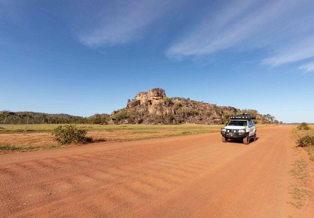
The scenery heading deep into the park is nothing short of spectacular. The roads are a deep red colour and the trees are covered in the same dust from months of dry weather, with stunning ranges cutting the skyline as the road finds a path between mountains.
The complex geology of this area makes the drive extremely interesting, with remnants of the Arnhem Land Plateau running north-south through the park and leaving an array of habitats from dry sandstone to vast woodlands, seasonal floodplains, billabongs and flowing rivers. Limmen is a scattered NP with sections broken in amongst nearby cattle stations, with the main section of the park farther to the northwest.
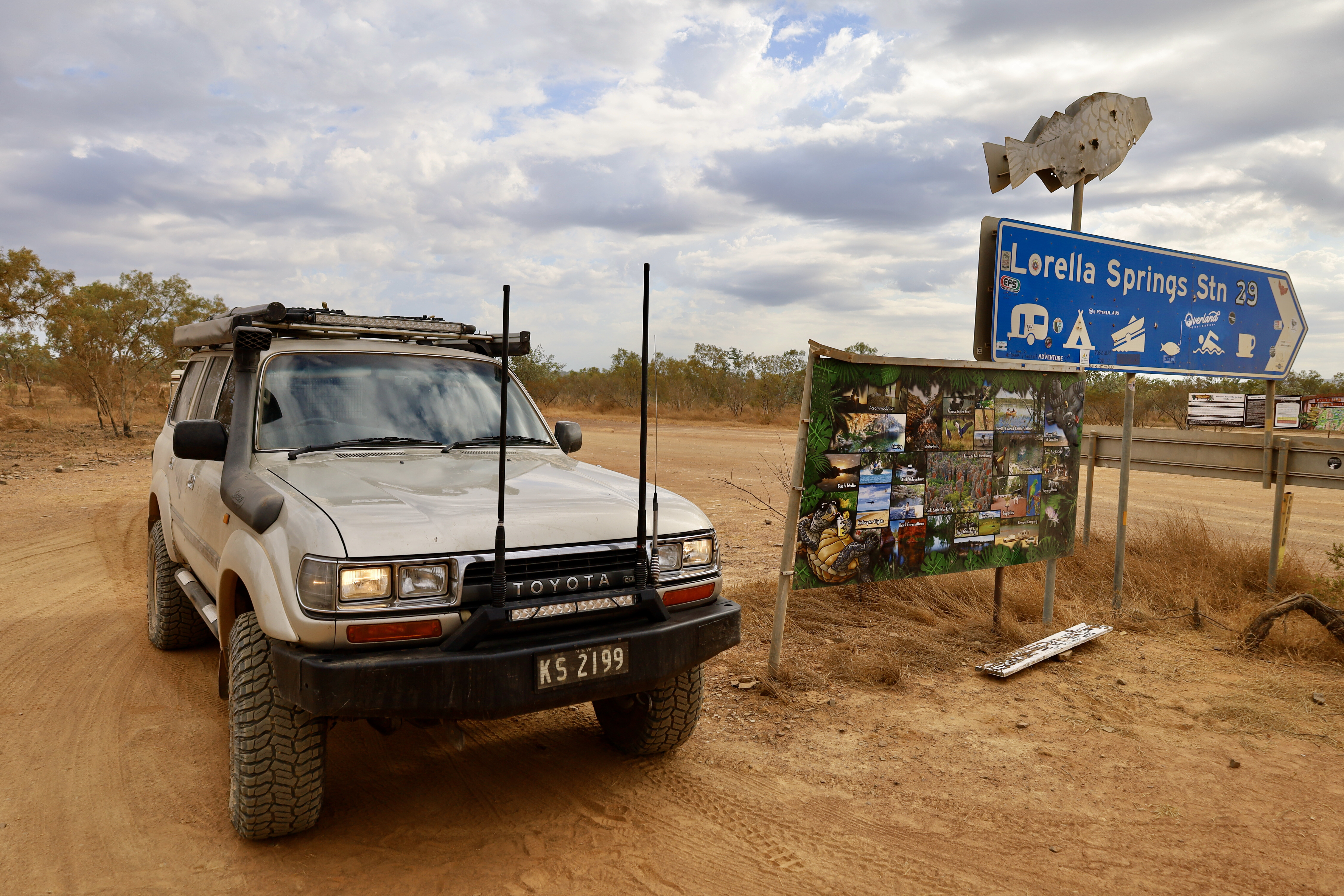
Lorella Springs
One of the most iconic places in the NT is the wilderness park and massive cattle station of Lorella Springs, which offers great camping, a maze of 4WD tracks, dozens of swimming holes, beautiful hot springs and amazing barra fishing in the many rivers. Plus, you can head out to the waters of the Gulf.
Arriving at Lorella, you’ll always receive the friendliest of welcomes from any of the staff members. During check-in they will give you a list of options on where to camp depending on your needs, plus hand you a great map of the property featuring tracks, waterholes, things to see and do, as well as any other interesting spots they think you’ll enjoy.
1
With so many tracks, rock formations, waterholes and lookouts to explore, it’s a bit overwhelming and you’ll need to spend more than a few days here. The ancient rock formations and old river beds have to be seen to be believed, where huge masses of conglomerate rock have formed together into sizable boulders, natural archways and rugged steep ranges that criss-cross Lorella.
It’s hard to recommend a favourite spot, as there is a different surprise around every corner and across every dry creek bed. Lorella is 15 degrees south of the equator and is claimed to be in one of the most remote and isolated places in the country, allowing for 20km of unspoilt ocean frontage with a huge array of fauna and flora – thousands of different species – on the property. Prehistoric dinosaur bones have been found on the property, and gold and diamonds have been unearthed too.
Lorella Springs closes during the wet season around the end of September, so expect the billabongs to be a tad low if you’re visiting late.
Lost cities
Back in Limmen, my first port of call was to the stunning Southern Lost City. You’re allowed to camp here for a small fee, and it gives you a good base to spend the day on the walking tracks that loop around these huge and eerie sandstone pillars.
These were formed nearly 150 million years ago as part of an old seabed – over millions of years, both water and wind have slowly weathered these columns into these incredible shapes. Most have different colours through them due to the complex mineral composition in the sandstone and ore, and when the sun hits the formations on different angles the colours are amazing.
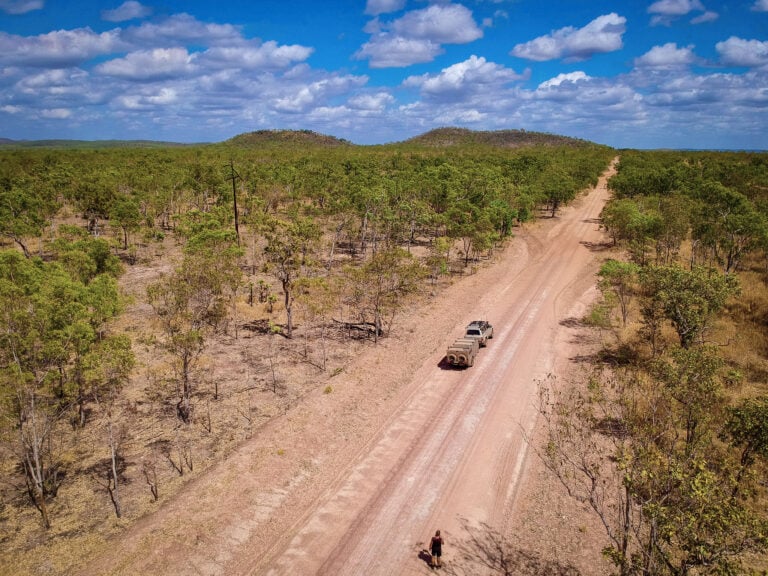
The next stop after the Southern Lost City was Butterfly Falls. It’s another peaceful area to camp, with a short stroll to the beautiful falls and pool. The falls are at the base of a low sandstone plateau, with sheer rock faces surrounding this magical place.
1
It’s another short stroll to the gorge and falls, and it’s home to the Wagiman people who lived in the surrounding area. The water flows into the Douglas River and eventually the Daly River about 50km away.
One of the best vantage points to see across the gorge is along the 5km lookout walk that’s suitable for people with medium fitness. Butterfly Gorge gets its name from the huge amount of common crow butterflies that often shelter in the vegetation, taking advantage of the cool climate.
Heading out from Butterfly Gorge the next stop was the Nathan River Ranger Station. Not only does the station have a huge array of history and artefacts in its building, staff will also provide you with road conditions whichever way you’re heading. They’ll also give you the code for the gated entry for the Western Lost City Track.
Unfortunately when I arrived, the track – a 28km track to another group of stunning sandstone rock columns – was closed for maintenance. Reports at the time suggested the track was in poor condition all the way in. It’s a very remote track, so you need to sign in and out, giving the rangers an indication of where people are at the time.
The track has a few rough creek crossings, highlighted pastoral history, waterholes and 3.5 billion-year-old stromatolites, which are large rocks formed by algae and deposited on an ancient seabed.
Roper Bar
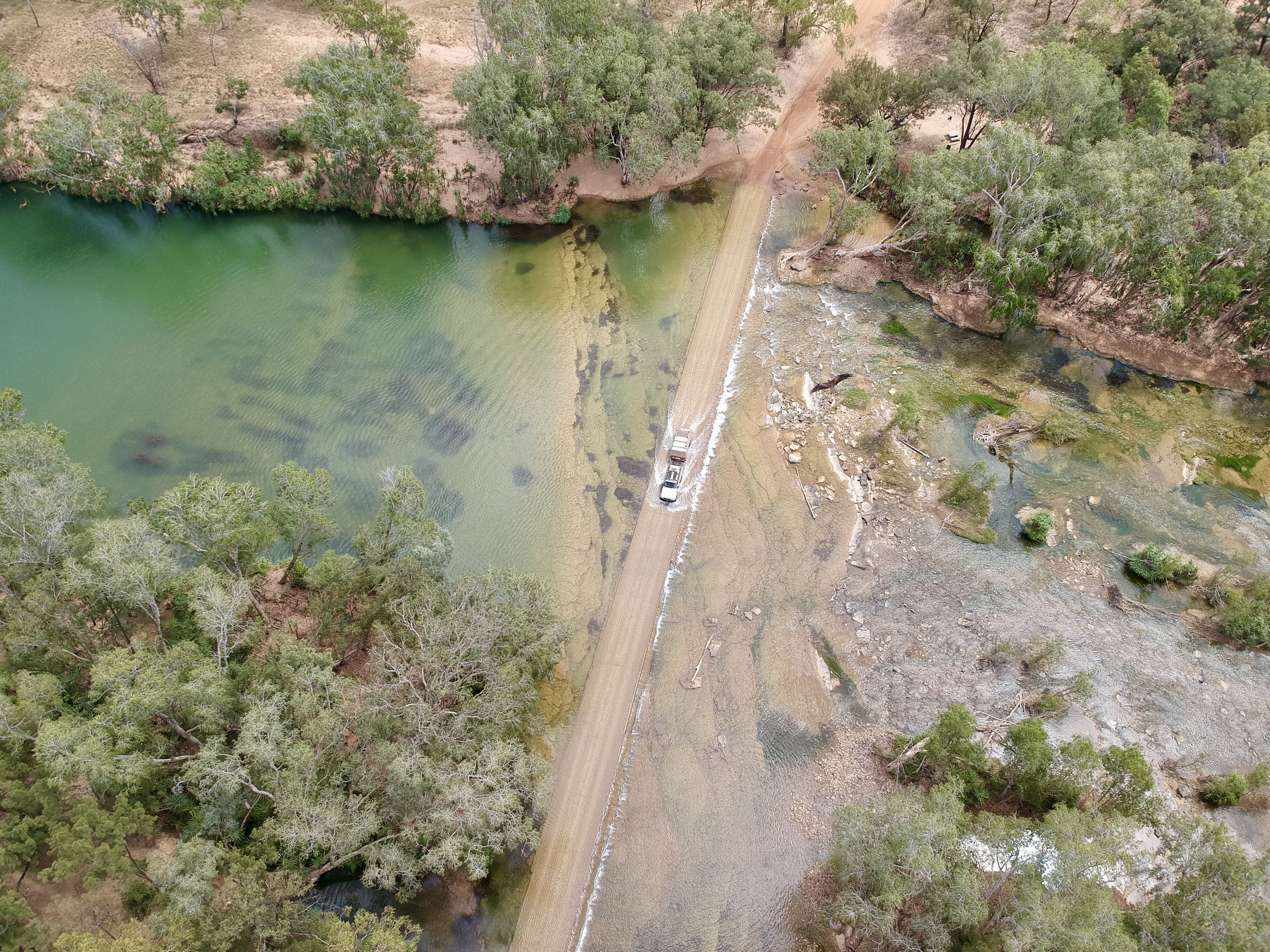
The next port of call was the Roper Bar general store, still some 200km away along Nathan River Road. It carries a few supplies and, most importantly, fuel. It’s not a challenging drive, but the corrugations get pretty average after a few days on them. Plus, there’s a couple of beautiful river crossings heading out.
Nathan River Road joins up to the Port Roper Road, where you can head out to the massive Roper River system. By swinging left, it’s a short drive to the Munbililla (Tomato Island) campground on the banks of the river, which has great facilities including phone signal. A couple of nights spent here is ideal to catch up with other travellers.
1
From here it’s another 50km to the Roper Bar store, with the route providing the chance to drive the old Roper River crossing and check out the ruins of the Roper River police station that operated from 1885-1980.
There’s heaps to read here, with plenty of relics to check out; plus there’s the memorial cairn commemorating the journey of Friedrich Leichhardt in 1845. From the store, it’s an easy, sealed 200km cruise out to the Stuart Highway and the town of Mataranka.
I wasn’t expecting so many beautiful areas along the 400km trek through Limmen National Park, but it’s definitely recommended for anyone who loves remote travel. It’s a breathtaking region where you could easily spend a month exploring a very special and unique place. It’s hard to believe such a spot can be so harsh yet have so many fragile elements.
Fast five facts
Getting there
Limmen National Park (incorporating Limmen Bight Marine Park) lies on the most western point of the Gulf of Carpentaria, some 275km south-east of Katherine and 65km west of Borroloola. Being isolated and remote, the NP requires visitors to be self-sufficient in fuel and food, and warns that all roads and tracks are unsealed and subject to seasonal closures. For road conditions, phone 1800 246 199, or visit: www.roadreport.nt.gov.au
Swimming
It’s always ‘summer’ in the tropics, and there is nothing better than a refreshing dip in many of the Top End’s noted swimming holes. Unfortunately, Butterfly Falls is the only place in Limmen that’s safe for swimming, but isn’t recommended near the end of the dry when it becomes stagnant. In fact, the rivers and creeks within Limmen are inhabited by saltwater crocs and authorities advise no swimming.
Fishing
As with everything across the tropical north of the continent, fishing is a major and extremely popular pastime for locals and visitors, and there are plenty of opportunities to wet a bait or flick a lure. The Limmen NP region contains several significant river systems including the Roper, Towns and Limmen Bight Rivers that flow east into the Gulf of Carpentaria. There are boat ramps at Towns River, Munbililla and the Limmen Bight Fishing Camp.
Camping
Within the park are short-term campsites with facilities at Towns River, Butterfly Falls, Limmen River, Southern Lost City, Yurrlmundji, Mountain Creek, Didi Baba and Munbililla. Fees apply and sites must be pre-booked online before arrival. There’s also camping outside the NP’s boundaries at the Limmen Bight Fishing Camp and Lorella Springs Wilderness Park.
Sightseeing
There are plenty of lagoons close to the NP’s main thoroughfare, Nathan River Road, regarded as a bird watcher’s haven. The intriguing pillars of the Lost City formations are home to the region’s more notable wildlife.
Follow 4X4 Australia on Google
Get more 4x4 news, reviews and gear stories from 4X4 Australia in your Google feeds.

We recommend
-
 Explore NT
Touring Kakadu National Park, NT
One of the world's great National Parks is easy enough to get to by road, but to fully experience this jewel of the Top End you need a 4WD
-
 Explore NT
Exploring Plenty Highway and Binns Track in the NT
An exploration of the eastern end of the Plenty Highway and south on to the Binns Track
-
 Explore NT
Touring Pine Creek in the NT
Still very much a mining town, the Top End’s Pine Creek is also an interesting museum of its past success