News
Gallery 1
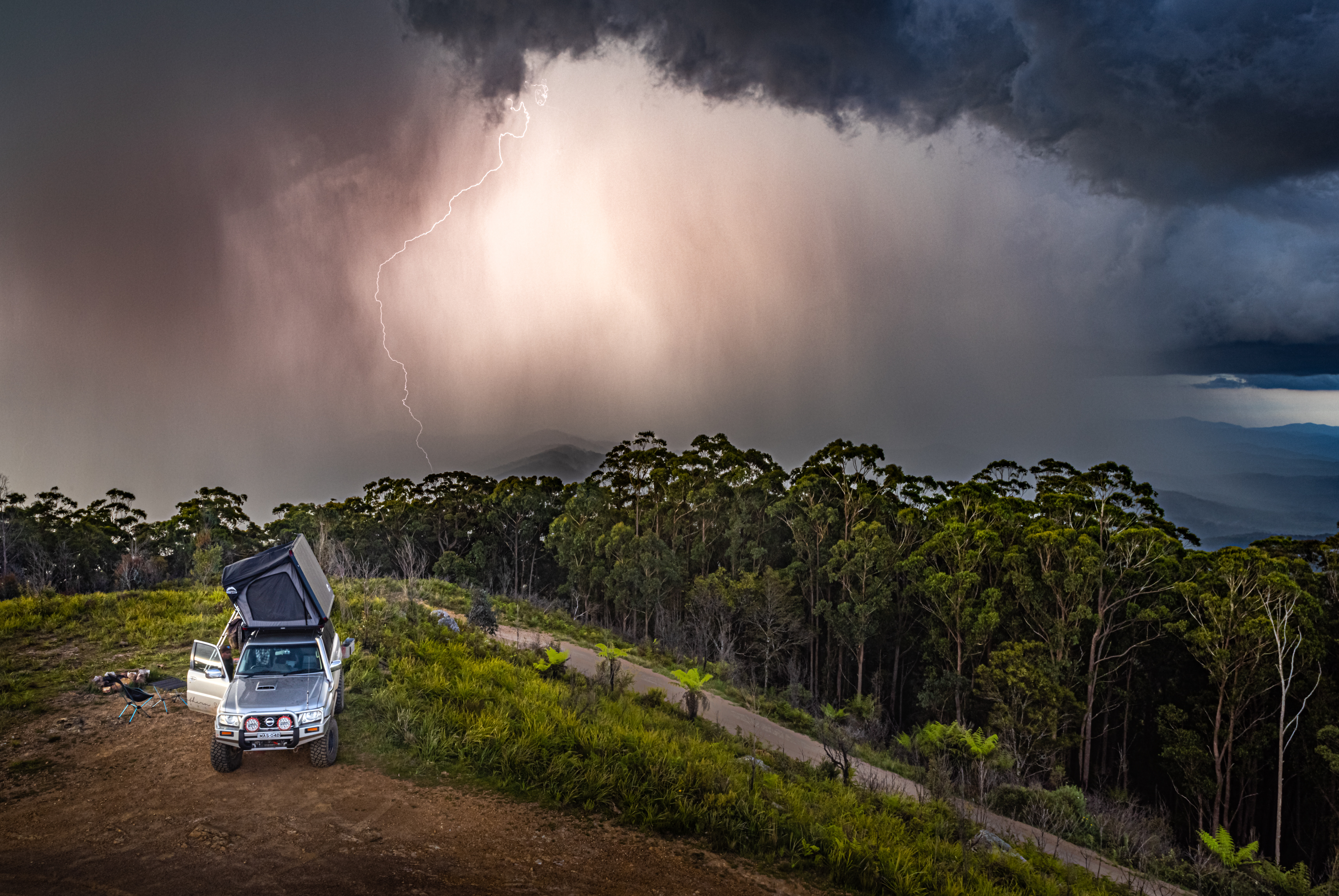
Heavy rain and flooding across New South Wales has led to the many closures of 4WD tracks, walking trails and campgrounds in national parks.
Several areas have been deemed unsafe due to water damage, landslips and impassable roads, with closures affecting parts of the Mid-North Coast, Hunter, Southern Highlands and surrounding regions.
In the Mid-North Coast, the Orara Escarpment 4WD Touring Route is currently closed. Flooding at the Urumbilum River has made the Bindarray Picnic Area inaccessible, with high water levels across the causeway. The river is being monitored and the route will reopen once it’s safe.
The Hall Peaks Picnic Area and Campground has been closed since May 21 and is expected to remain shut until at least May 29. Persistent rain has made access roads unsafe for vehicles.
In the state’s south, Morton and Budawang national parks have seen road closures due to flooding in the Clyde and Yadboro river systems. Several tracks and campgrounds in those areas are unreachable.
Barrington Tops National Park has been fully closed since May 20. Landslips and a damaged bridge have cut off access from the east via Gloucester. The southern section of the park is also closed due to storm damage. The situation is being reviewed daily.
In the Northern Tablelands, parts of Oxley Wild Rivers National Park are shut, including the Wollomombi walking track, Eagle View lookout, Wollomombi Falls lookout and Chandler Falls lookout. These areas are expected to remain closed until May 28. Other nearby sites such as the Wollomombi picnic area and Chandler walk are still open.
Further east, Tapin Tops National Park and nearby reserves in the Manning Great Lakes region are also closed. Flooding has made many trails and creek crossings unsafe. The closures are expected to remain in place until at least May 30.
Watagans National Park in the Hunter has closed several key visitor areas including Gap Creek Falls walking track, Gap Creek Forest walking track, Boarding House Dam, and Bangalow picnic and camping areas. Roads and tracks in the area have been affected by heavy rain and tree falls.
The Abercrombie Karst Conservation Reserve remains closed for repairs after earlier flooding. It’s not expected to reopen before late September.
National Parks staff are assessing conditions daily. Many of the closures will remain in place until damage can be repaired and safety risks have been addressed. Visitors are urged not to enter closed areas, and to avoid driving or walking through floodwaters.
A full list of alerts can be found here: https://www.nationalparks.nsw.gov.au/alerts/alerts-list
Follow 4X4 Australia on Google
Get more 4x4 news, reviews and gear stories from 4X4 Australia in your Google feeds.

We recommend
-
 Explore NSW
Touring the New England region of the Great Dividing Range
One of Kev Smith’s favourite places is in his own backyard: the New England area of the Great Dividing Range on NSW’s north coast
-
 Explore NSW
Trekking the Great North Road in NSW
If you’re feeling energetic, there is plenty to explore along the historic Great North Road just north of Sydney
-
 Explore NSW
Best 4x4 tracks near Sydney
There's more to Sydney than an Opera House. Here are a few spectacular 4x4 destinations close to the city for weekend adventures