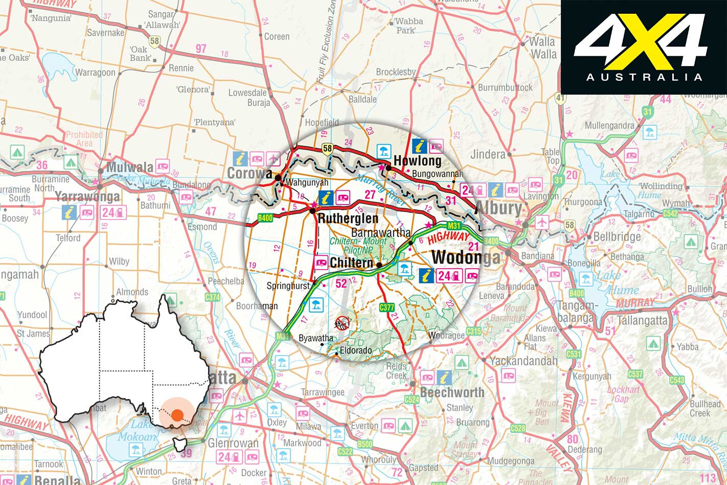
Explore VIC
Gallery 1
We had turned onto an ever fainter track amongst the maze of vehicle routes that cut through the open eucalypt forest in the far western section of the rather disjointed Chiltern-Mt Pilot National Park in north-eastern Victoria.
1
We were looking for the Indigo Goldfields Cemetery, or what remained of it, and while it was marked on the park brochure, no other maps showed its location. We were just about to turn down yet another track when I spotted a lone weather-worn and almost camouflaged concrete post just off the path in among the scattered scrub of grey box, wattle and bush pea. It was what we were looking for.
Gold had been discovered near here in late-1858 and by January of the following year there were more than 20,000 people in the immediate area. Supposedly some 59 souls are buried at this lonely, near-forgotten spot, but apart from a sign and four concrete posts marking the corners of the cemetery patch, nothing else remains. Most of the grave markers were, by all accounts, made of wood, and they either rotted away or were used for firewood in the tough times of the 1930s.
1
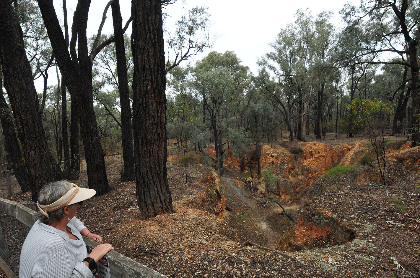
A few kilometres away there’s a much more impressive reminder of those heady days of gold and fortunes made and lost, which can be seen at the remains of the Magenta Mine. Today the mine is easily reached via some bush tracks; although, they get rather steep along Pipeline Track, which would be slippery and exciting in the wet. The mine is now fenced, but a couple of viewing platforms keep everyone safe and give an eagle-eye view of the open cut and shafts.
Mining commenced on this gold-bearing reef in 1860, and the open cut was worked to a depth of 15m or so when a couple of shafts were sunk following the rich vein of gold to 30m or more. The mine closed in 1910 but was revived during the Depression in the 1930s. In all, around 13,000oz of gold was recovered from here and processed nearby at the stamper battery, the few scattered remains of which can be seen just off Battery Hill Road, 3km north of the small town of Chiltern.
1
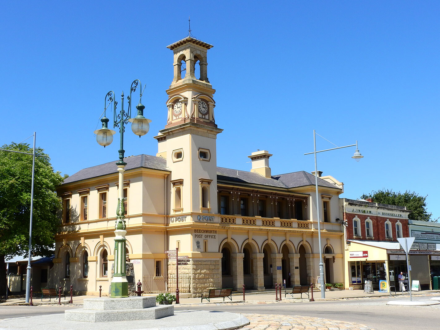
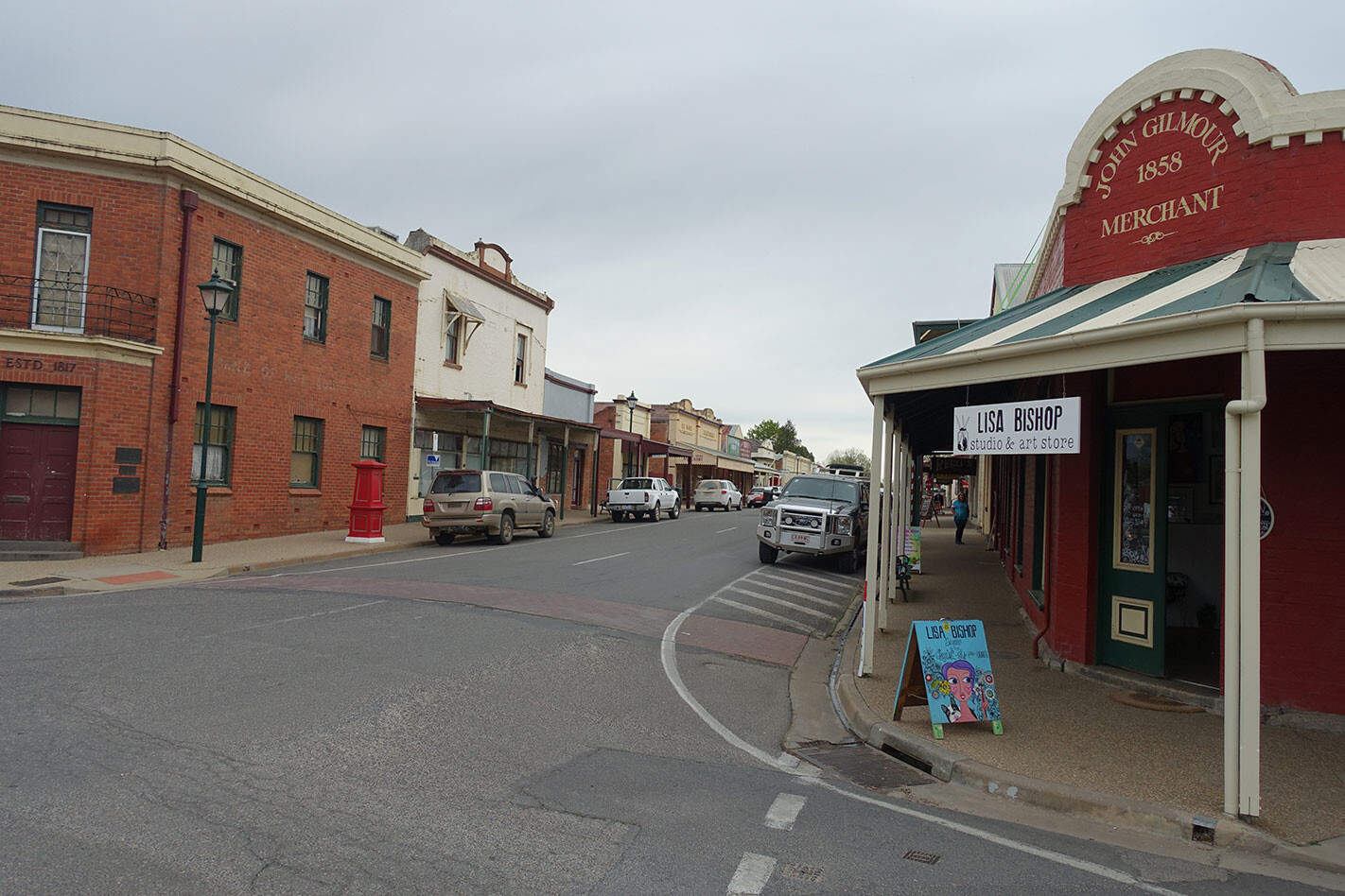
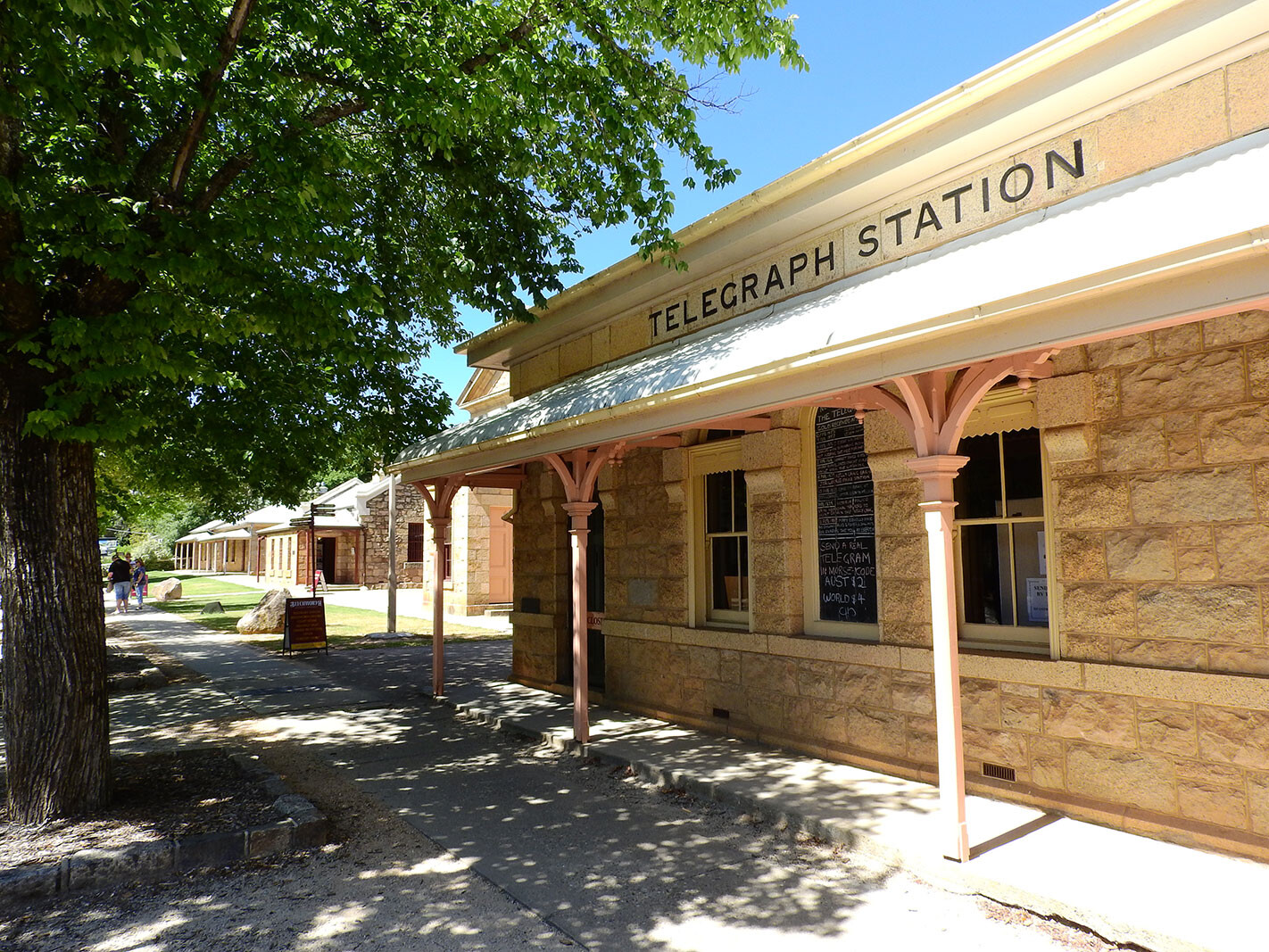
Our wanderings through this area had started a few days earlier when we had visited the historic town of Beechworth, tucked in amongst the foothills of the Great Dividing Range in north-east Victoria. A favoured destination for many, the town offers a range of modern-day delights and historic attractions befitting a town that was once, briefly, considered to become the capital of the newly fledged colony of Victoria.
Aboriginal people had long wandered the hills and valleys of the region, spending the hot summer months in the mountain country and returning to the lowlands in autumn and winter. The explorers Hume and Hovel had passed along the western edge of the ranges in 1824 and, while Melbourne was founded in 1835, the colony of Victoria wasn’t established until 1850.
1
Earlier, in 1840, ex-Navy captain William Baker had established his land holdings along Reedy Creek, just west of what was to become Beechworth, and named the property, rather prophetically one would think, ‘Eldorado’.
Gold was then discovered in Reedy Creek, downstream from Beechworth, in February 1852, and by the end of the year the creek had more than 8000 hopefuls seeking their fortunes at their own ‘Eldorado’. By 1853 the town of Beechworth had taken on some semblance of permanence and the amount of gold coming out of the ground was staggering.
1
In 1857, gold production peaked with 14,000oz of gold (worth nearly $31 million in today’s money) being transported from Beechworth to Melbourne every fortnight. In the 14 years after the discovery of gold, more than four million ounces were shipped to Melbourne and who knows how much was smuggled out?
1
Once you’ve explored Beechworth’s many historic buildings, and taken in the museum and the delights of the bakery and the ice cream shop, take the Gorge Scenic Drive to see some of the works the early miners did in their quest for the yellow stuff. The 800m-long Rocky Mountain Tunnel built under the township to divert water and access gold is pretty darn impressive, I’ve gotta say. In seven years from 1869 the tunnel produced 6500oz of gold.
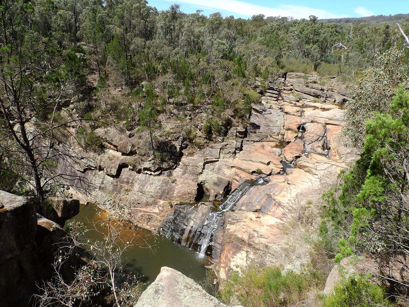
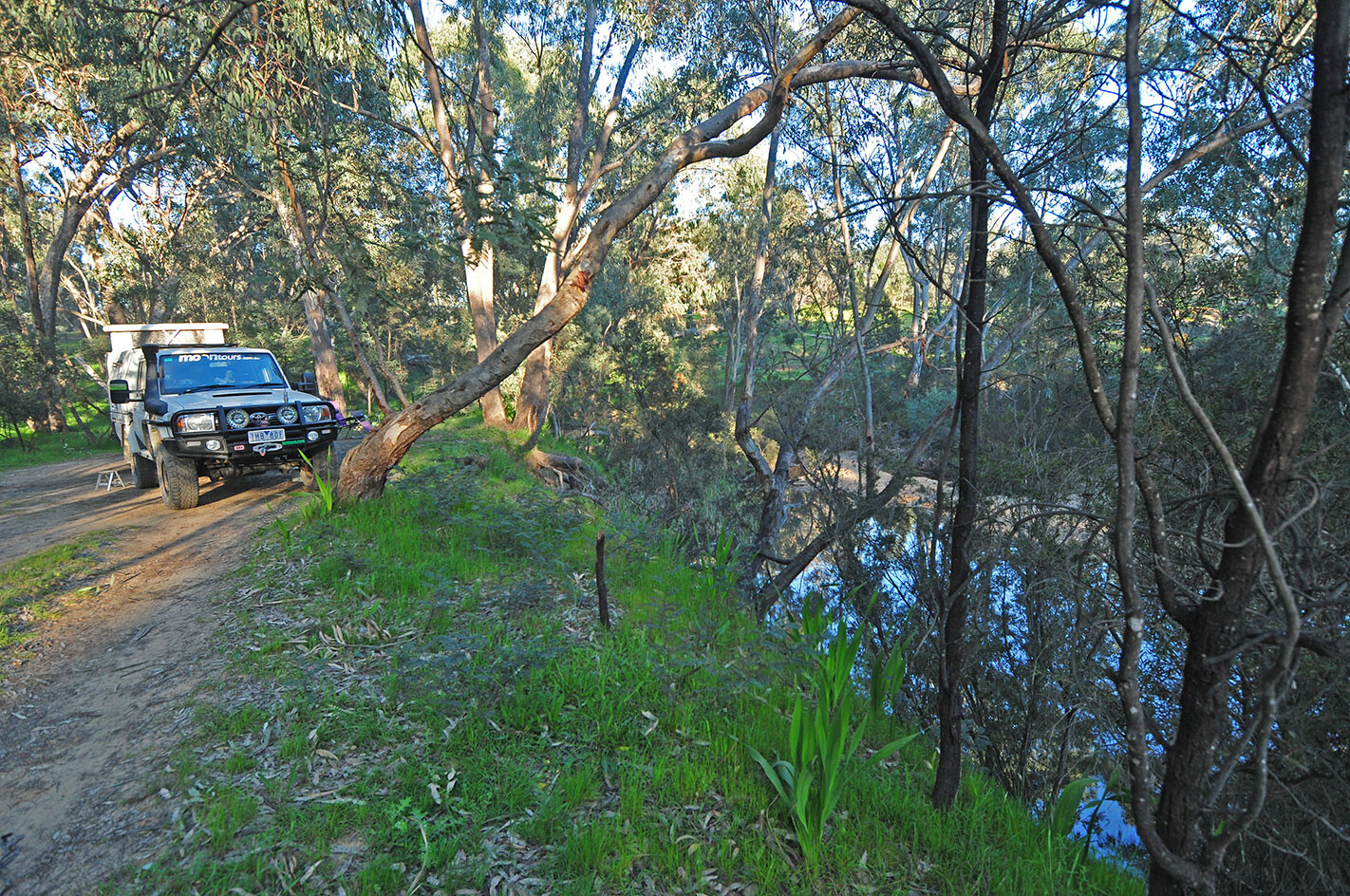
While there’s a heap of 4WDing to be done along the forest tracks between Beechworth and Yackandandah, on this trip we turned west and headed to Woolshed Falls where Reedy Creek plunges over the escarpment. Here you can also see where the early miners diverted the water to access the pool at the bottom of the falls, to recover gold that had collected there. Years ago we dived here, but we only found number plates.
1
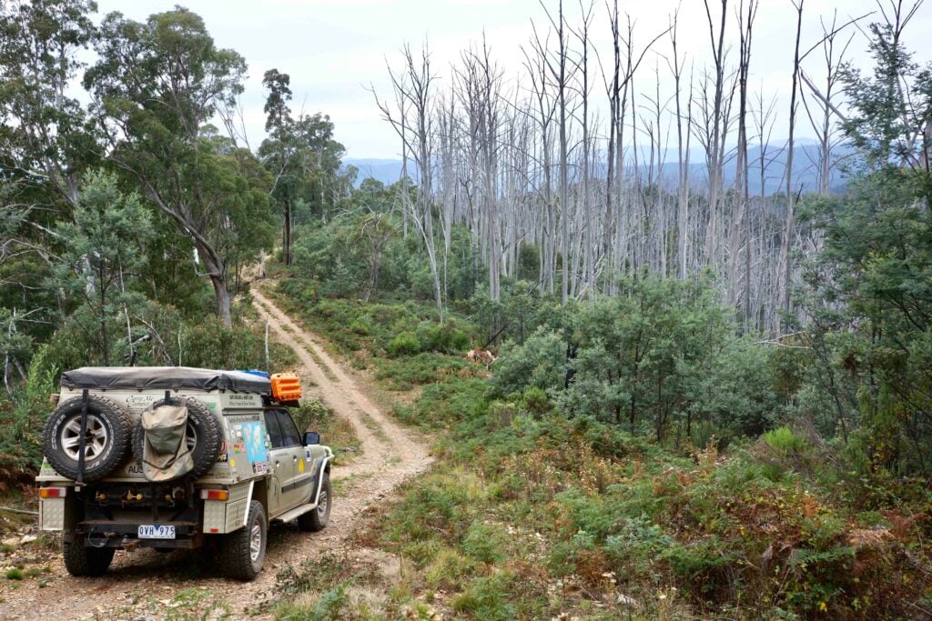
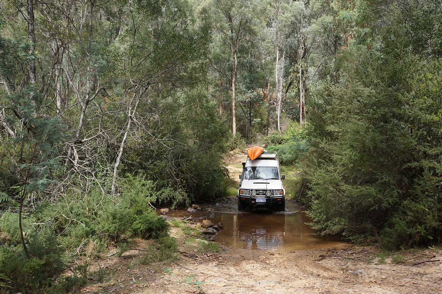
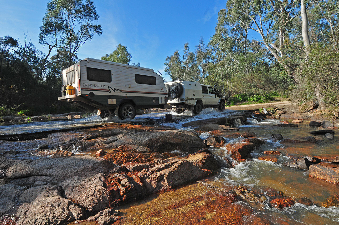
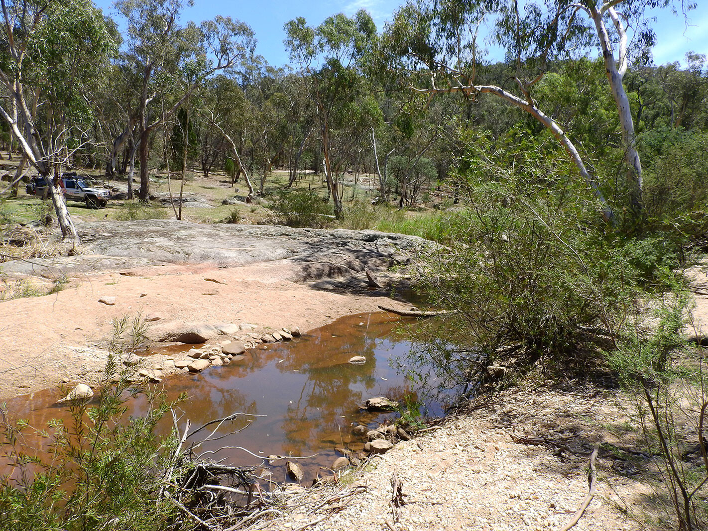
From Woolshed we headed via a reasonable dirt road towards Eldorado, crossing Reedy Creek at a sandy but shallow crossing and passing through the Chiltern-Mt Pilot NP. This pleasant 4WD trip winds through ironbark and stringybark forest, which in spring can be coloured with blooming wattles, orchids and bush peas.
1
This park also contains the highest number of mammals, birds and reptile species recorded in any box-ironbark forest in the state, with more than 200 bird species being documented here. These include such rare and colourful birds as the regent honeyeater, swift parrot and the turquoise parrot, along with the square-tailed kite.
1
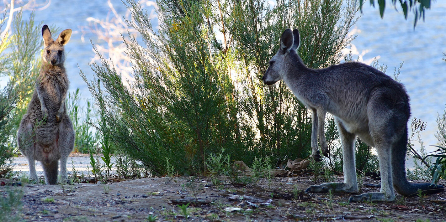
Eastern grey kangaroos are often seen grazing in the open areas in the early morning or late afternoon, while swamp wallabies can be spotted darting out from the rocks or thick scrub alongside the creek. Tree-dwelling animals such as the tuan, squirrel glider and the diminutive sugar and feathertail gliders also inhabit the forest but are rarely seen. However, the larger common brushtail and ringtail possums can easily be spotted on a night walk around your camp.
This area of the national park and along Reedy Creek is also an area where prospecting with hand tools and panning for gold is still allowed, although the pickings, I’m guessing, are pretty thin after all those early miners worked the hills and creeks back in the 1850s and ’60s. You need a current Miner’s Right Permit to prospect and must stay within the designated area.
1
With so much gold coming out of the region back in the mid-1800s it attracted the attention of a few crooks, the most notable of which was Ned Kelly, and some of his gang had grown up in the Reedy Creek area.
Local legend has it that the famous armour worn by the gang was made at a forge site in the valley (kept secret for the present until further research and excavations are carried out), while the Kelly Caves near the old townsite of Sebastopol was used by the gang as a lookout and hideout. Certainly, Joe Byrne, Ned’s trusted lieutenant, shot Aarron Sherritt near Sebastopol after he had betrayed the gang, which then led to the famous Glenrowan siege as the group was now wanted for murder.
1
We’ve always found a pleasant camp along the creek when we have travelled through the area, and this time was no different as we propped on a high bank just west of the aforementioned Sebastopol. It’s hard to believe that there is nothing left of this once booming town that had a main street 2km long with more than 80 businesses plying their trade. For our visit, a couple of ’roos grazed on the green grass not far away from our camp and next morning the dawn chorus of birds was almost deafening.
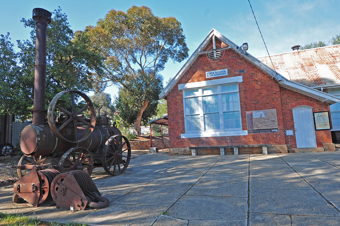
Later that morning we headed into the small hamlet of Eldorado, which bears the partially healed scars of mining and dredging along nearby Reedy Creek. The town has a rich heritage displayed in the local museum, while a number of walking trails take you to points of interest. There’s also McEvoy Tavern, reputedly the smallest pub in Victoria; no other excuse is needed to enjoy a coldie here!
1
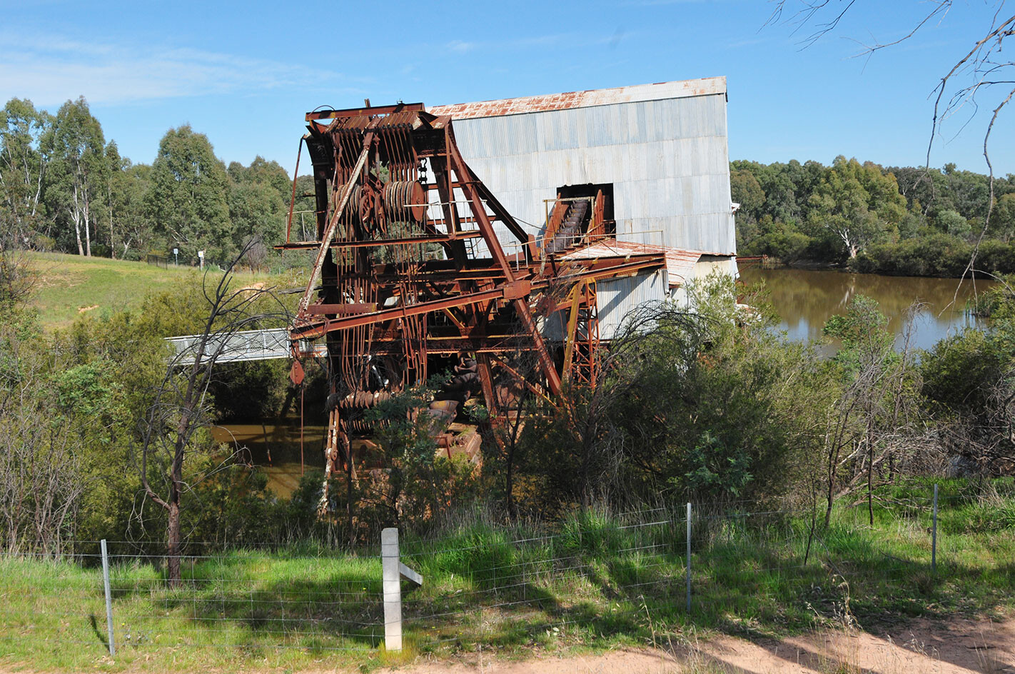
Just out of town you’ll find the Eldorado Dredge, once the biggest working gold dredge in the southern hemisphere and, during the 1930s, the third biggest drawer of electric power in the state after Melbourne and Geelong. It is a monster, with its bucket line capable of digging down 30m in front of the machine, while it spewed out the unwanted soil and rock behind it. In its 18 years of operation up to 1954, it produced more than 70,600oz of gold and nearly 1400t of tin concentrate. In the process it changed the river flats forever.
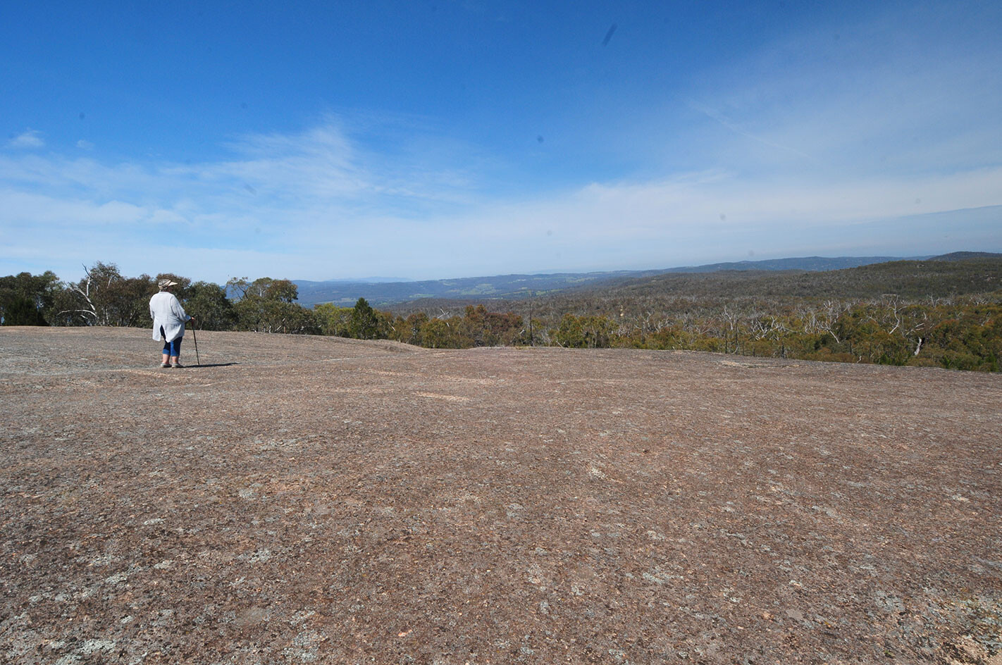
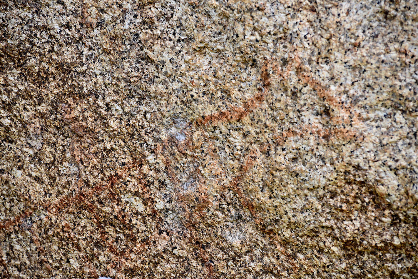
From the dredge we took the Old Coach Road through the varying scenery and habitats in the park to Mt Pilot, which at 545m is the dominant peak in the area. Its bare granite dome gives a great 360-degree view across the plains to the north and west, to the ridges and peaks of the Great Divide to the east, while to the south the flat-topped bulk of Mt Buffalo is easily seen.
1
Nearby on the western side and at the foot of Mt Pilot is the Yeddonba Aboriginal Cultural Site, where a short walking track along the edge of some great granite tors takes you onto a boardwalk and to an Aboriginal shelter and art site. Here you’ll find some very faint painted art, the age of which is pretty hard to determine, but the faded outline of one drawing gives a clue.
The painting almost certainly depicts a Tasmanian Tiger, which became extinct on the mainland about 2000 years ago. So you’d have to think this art is at least that old. Nearby, and passed by on the walking track, are other rock overhangs and caves once used by the Aboriginal people as occupational shelters. It’s well worth a visit.
1
Taking Black Dog Creek Road we wound our way westward through the park and adjoining farmland, first to the Honeyeater Day Use Area, which is located beside what was known during the days of gold as the Golden Bar Dam. The mine nearby of the same name reached down 195m, but all you’ll see today is an empty silt-filled dam, some deep holes and mounds of tailings scattered through the bush.
1
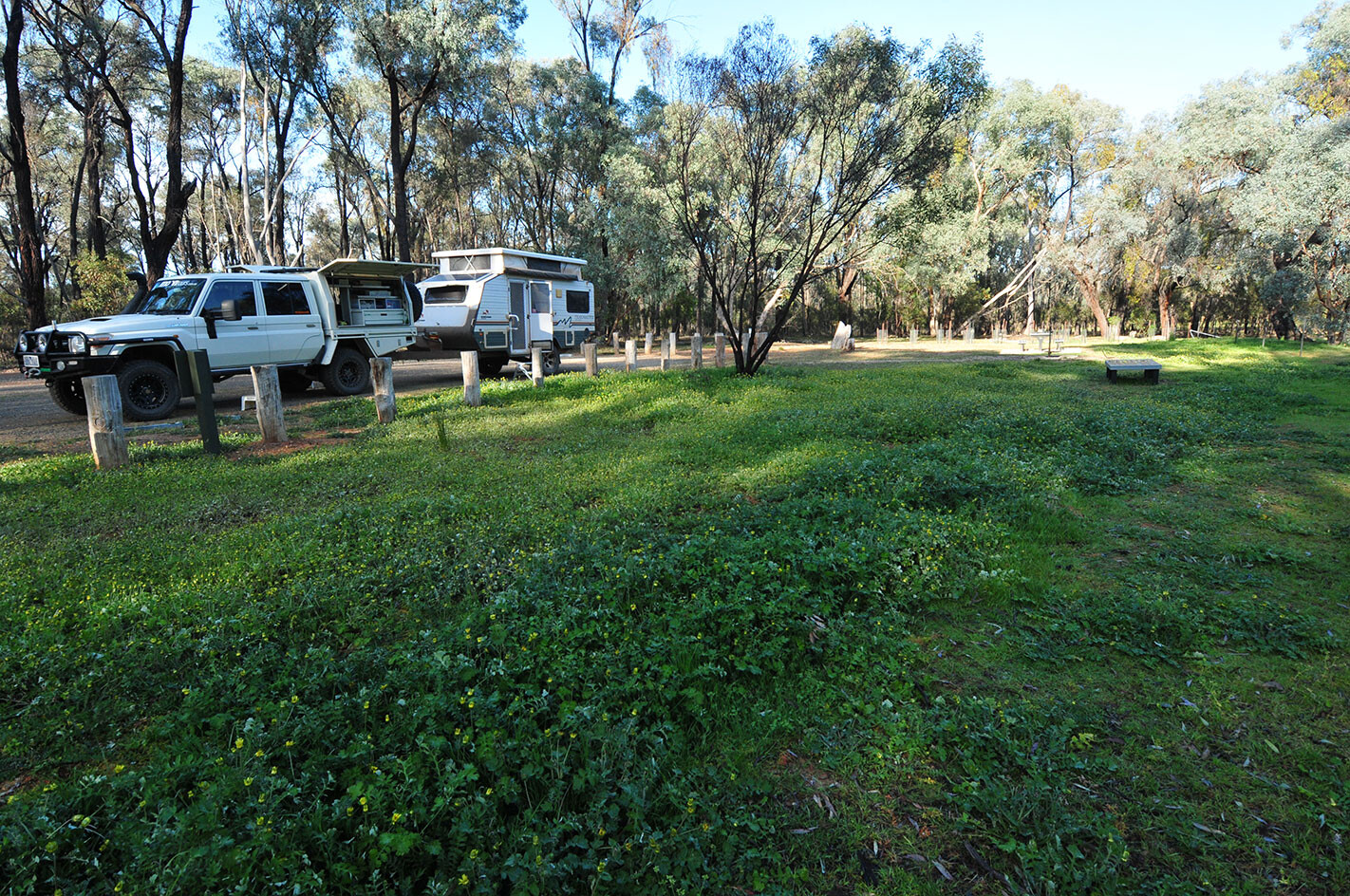
From here we headed to the previously mentioned Magenta Mine and the old cemetery before we pulled up for the night at the Tuan Campground, on the western edge of the park. It’s a spot I wouldn’t rave about, but it suited us for one night, being close to the historic town of Chiltern and to a couple of favoured bird-watching sites at Chiltern Valley Dam No. 1 and No. 2.
With our wanderings around Eldorado over for another year we headed south, but we’ll be going back, like we have been on and off for the last 40-odd years. Yep, we enjoy it that much!
1
Follow 4X4 Australia on Google
Get more 4x4 news, reviews and gear stories from 4X4 Australia in your Google feeds.