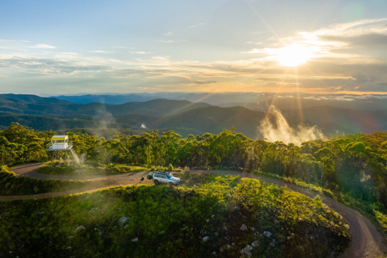
Explore NSW
Gallery 1
Winding its way through outback New South Wales, the Darling River has long been a lifeline – from sustaining the Barkindji people for tens of thousands of years, to guiding explorers, supporting riverboat trade, and shaping the pastoral frontier of inland Australia.
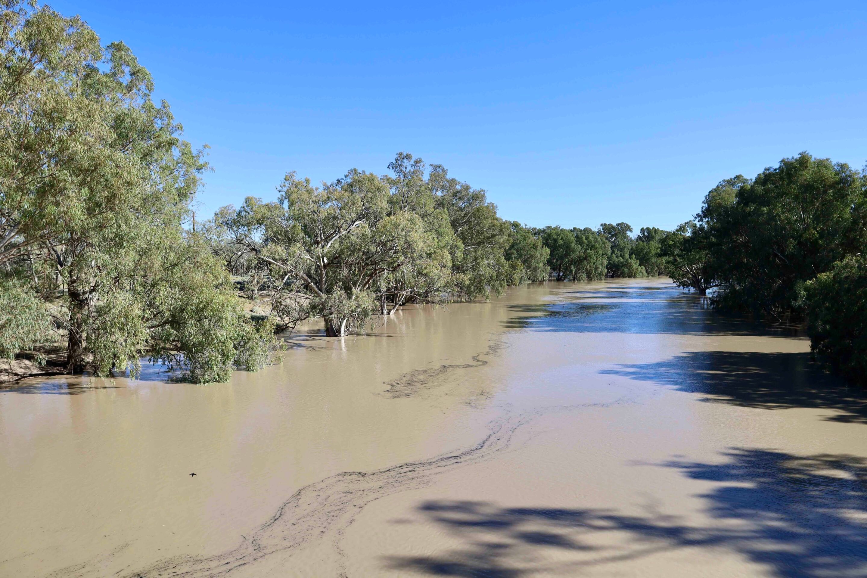
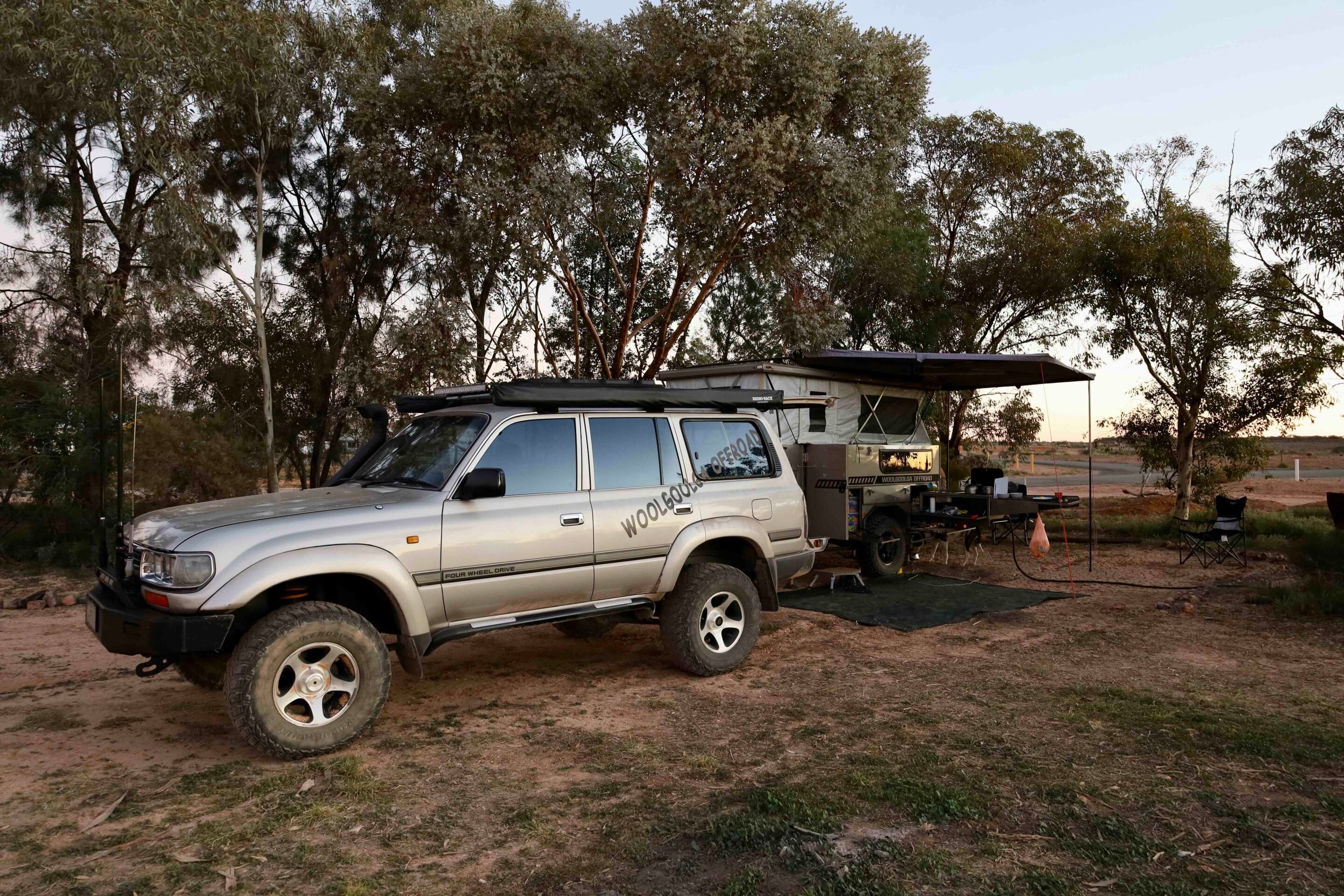
I’ve driven along the Darling River a few times now, and it never fails to deliver. This time, our journey began in the historic and surprisingly vibrant town of Bourke. Explorer Charles Sturt passed through the area in the late 1820s while searching for the fabled inland sea, famously noting in his journal that it was “unlikely to become the haunt of civilised man.” He couldn’t have been more wrong. Within a few decades, the region was thriving, and the river became a vital trade route. By 1880, Bourke had grown into a major transport hub for southwest Queensland and western New South Wales, with paddle steamers hauling massive loads of wool downriver each season.
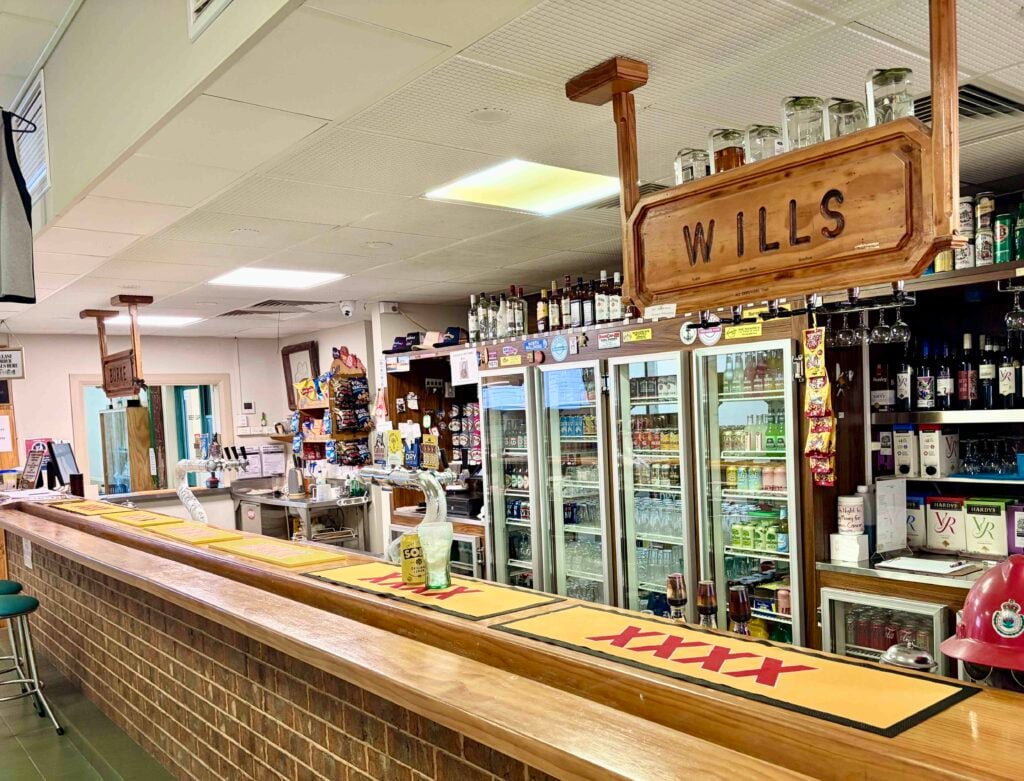
These days, Bourke remains a key hub for outback travellers – not just to top up on fuel and supplies before heading bush, but also to soak up some rich local history. There’s plenty to see and do, from the old Darling River wharf and historic centre-lift bridge to nearby stations and the grand heritage-listed buildings lining the main street. When we visited, the river was in flood and still rising, so a cruise on the paddle steamer was off the cards — but there was no shortage of things to explore on dry land.
1
Gundabooka National Park: Outback beauty and indigenous heritage
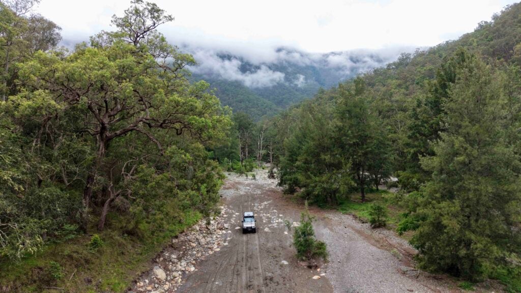
Heading south from Bourke along the Darling River Road, we passed through the spectacular Gundabooka National Park – a region rich in outback beauty and Indigenous heritage.
There are plenty of options here for adventurous travellers, from hiking out to Mount Gundabooka to chasing riverside serenity at the Yanda Campground, which offers a peaceful spot to set up beside the Darling, with towering river gums providing shade and atmosphere.
Roughly 10km south of Gundabooka, a roadside sign marks a significant historical site – the spot where explorers Charles Sturt and Hamilton Hume first encountered the Darling River in 1829. It’s well worth pulling over to read the informative display board, which offers fascinating insights into their expedition and the challenges they faced as they mapped the interior.
1
Louth: History, pub culture, and the shining headstone
Our first proper stop was the historic riverside town of Louth, around 100km downstream from Bourke.
This tiny settlement has a rich past – it was once a key stopover for Cobb & Co coaches and river trade in the late 1800s, and it even inspired Henry Lawson to pen a few verses about drinking and partying when the pub was the only service in town.
These days, not much has changed – Shindy’s Inn still sits proudly on the riverbank and makes for a great overnight stop, especially when the famous Louth Races roll into town and the partying kicks off in true outback style. Inside the pub, you’ll find walls lined with historic memorabilia, photos of epic floods, and all sorts of quirky outback relics.
1
Before leaving town, be sure to visit the local cemetery, where you’ll find the famous 7.5-metre-tall ‘Shining Headstone’. Built by Thomas Matthews in memory of his beloved wife, the granite cross is precisely aligned so that each year, on the anniversary of her death, the reflected sunlight shines directly onto the site of their former home. It’s an extraordinary tribute and one of the most moving and unique memorials in the outback.
There’s plenty of camping available in Louth or at nearby stations, but with the slow-moving floodwaters rising along the Darling, we decided to push on further downstream.
Tilpa: Classic outback pub and heritage walk
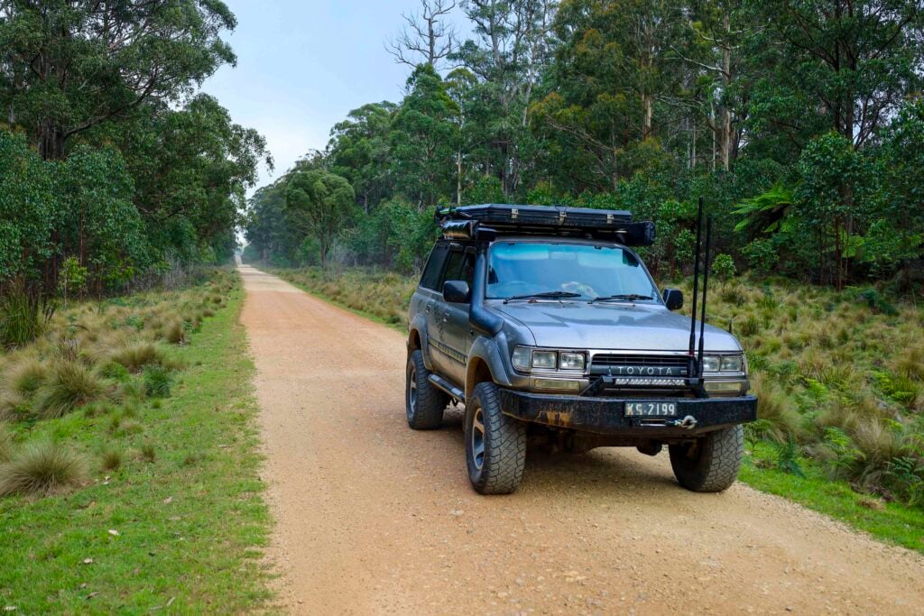
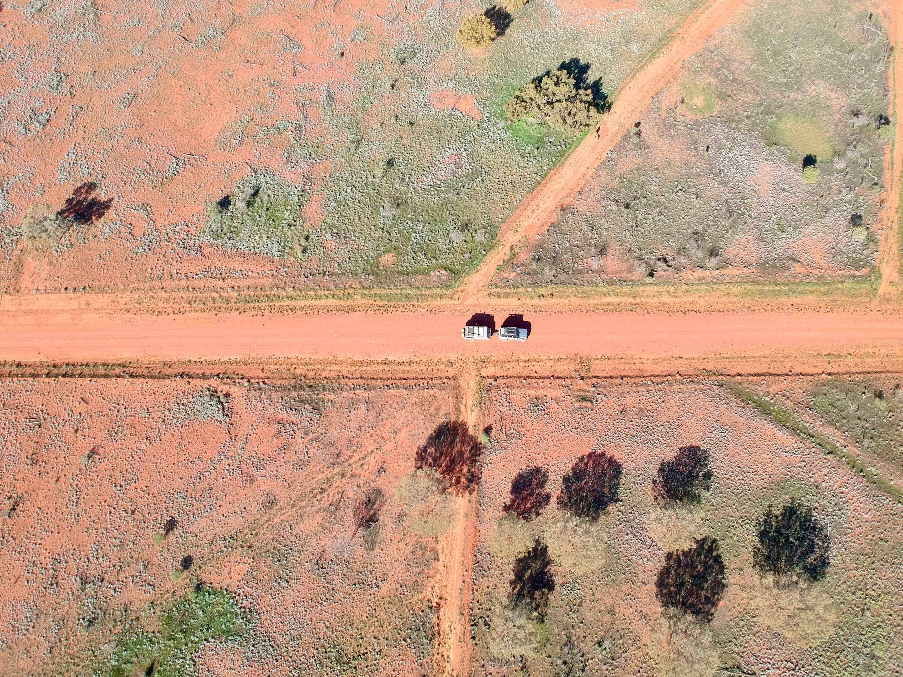
For most of the year, the roads following the river are in decent condition — but when the rain comes, they’re closed quickly. These aren’t just outback tracks; they’re vital local roads providing access to stations and essential services.
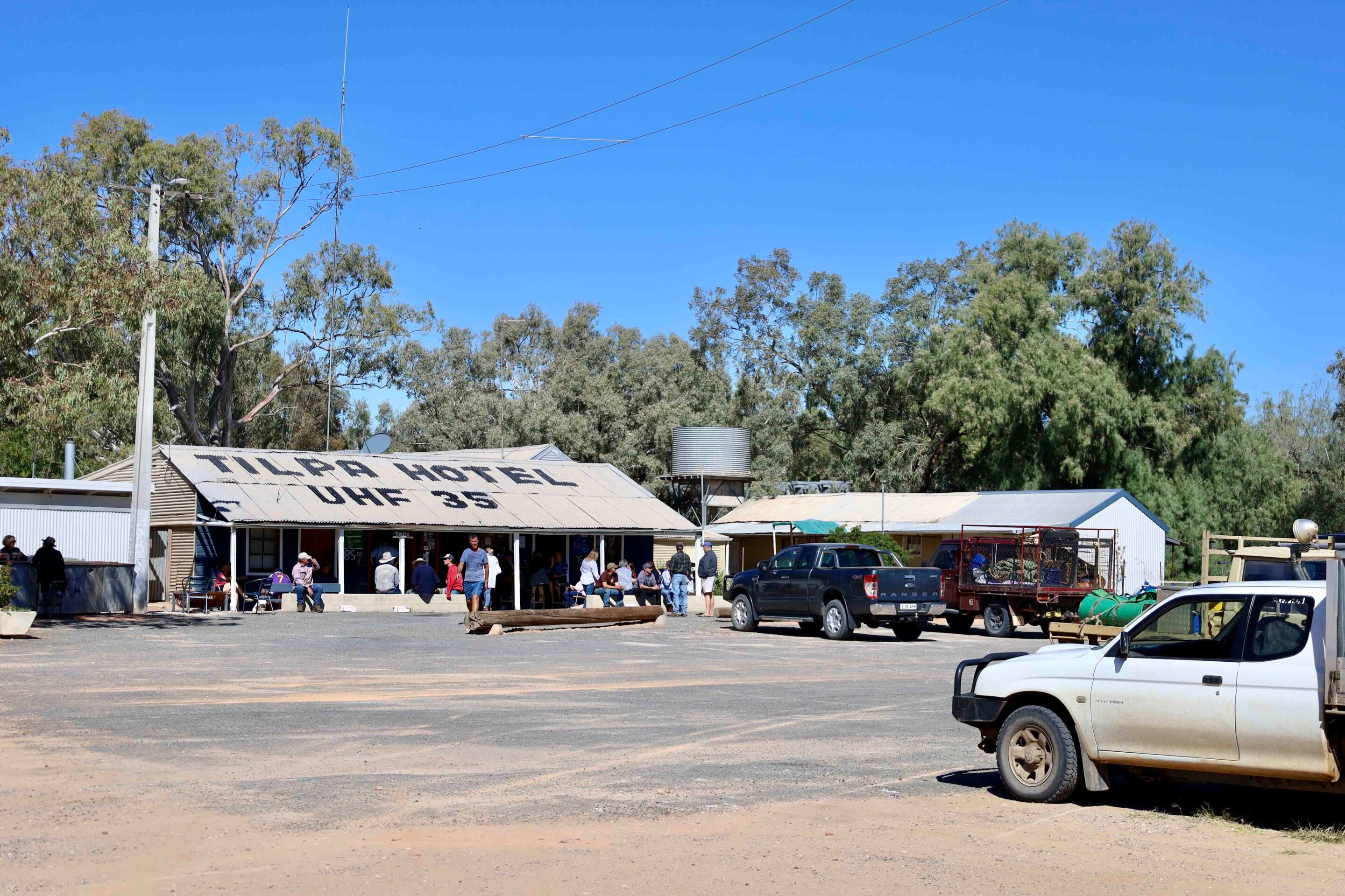
Tilpa, perched on the western bank of the Darling, is a must-visit for anyone travelling through the region. The iconic Tilpa Hotel is one of those classic outback pubs where the beer’s always cold, the meals are hearty, and the atmosphere is warm and welcoming. For a small donation to the Royal Flying Doctor Service, you can even leave your mark by writing your name on the walls inside – if you can find a free spot, that is!
Established in 1894 as a service stop for shallow-draught paddle steamers, Tilpa is also home to what’s proudly claimed as the shortest heritage walk in Australia – conveniently located just across the road from the pub, so you won’t get too thirsty.
1
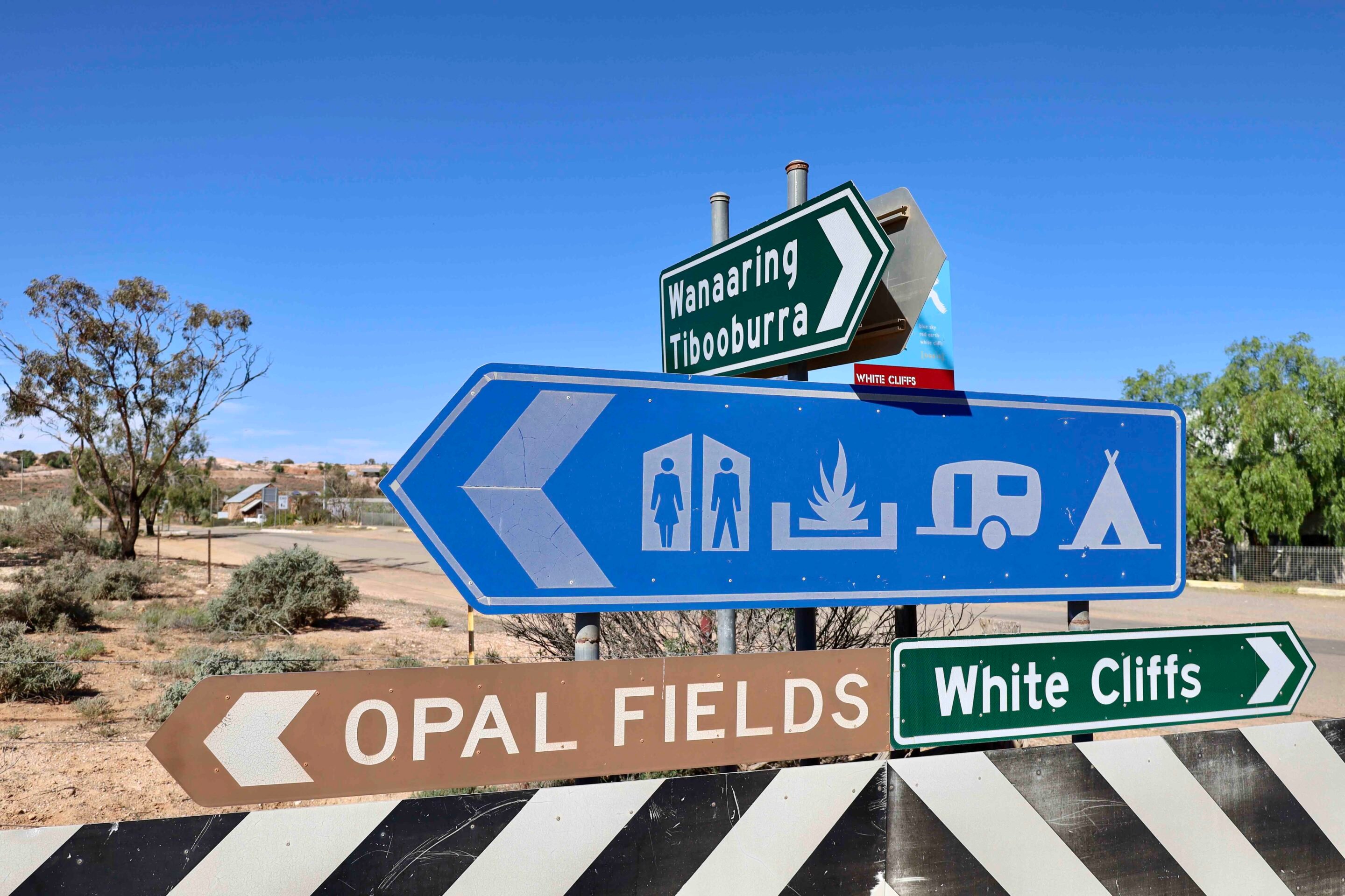
White Cliffs: Opals, underground homes, and solar history
Our original plan was to follow the Darling all the way south, tracing the flow of recent rains in far northern NSW.
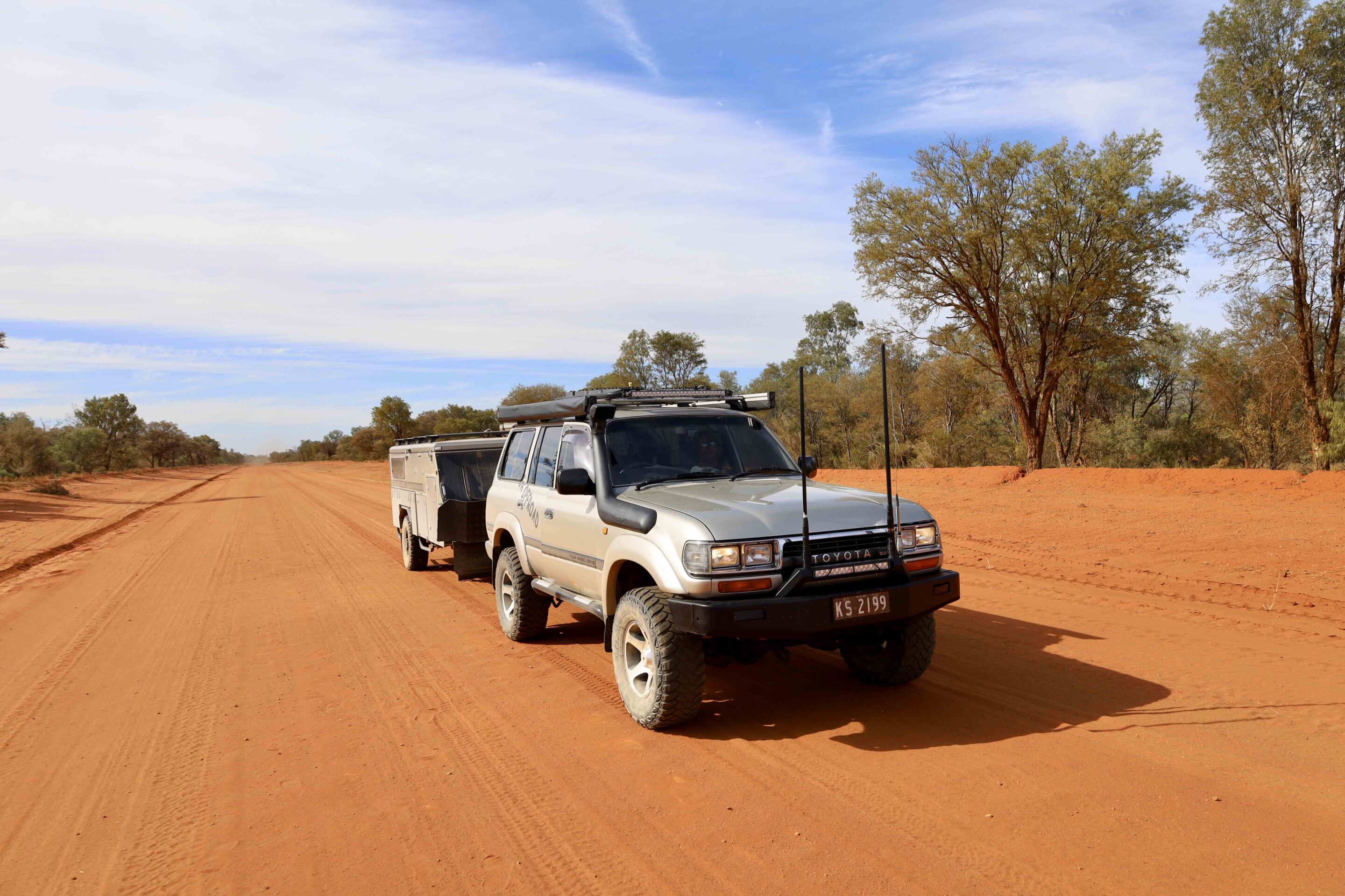
However, with floodwaters moving downstream, we opted to cut across the Paroo-Darling floodplain to White Cliffs before the area was closed. It’s always a great run west across the plains, and under normal conditions it takes just a couple of hours.
White Cliffs has been a significant opal mining centre since the late 1880s and today attracts tourists keen to explore its quirky charm – and maybe even strike it rich. The opal-bearing rock here dates back over 100 million years, from a time when the region was covered by ocean. While few visitors actually find their fortune, it’s still a fascinating place to explore.
1
The town is surrounded by a pockmarked lunar-like landscape with more than 50,000 disused mine shafts. A heritage trail winds around the old diggings and town centre, showcasing historic buildings, bizarre shanty-style mine dumps and even free fossicking zones where you can try your luck.
It gets brutally hot here in summer – one reason the locals live underground, where temperatures stay relatively stable. Traditional Aboriginal groups never settled permanently in the area due to the extreme climate and lack of permanent water, though they did travel through on their way to and from the Darling River.
Back in 1981, White Cliffs took a pioneering step by building its own solar power station. Using 14 massive dishes, each five metres in diameter, the system harnessed the sun’s heat to boil water, producing steam to drive an engine and generator that supplied electricity to the town. Although it was eventually decommissioned, the site gained international recognition and was heritage listed in 2006 as the world’s first solar power station.
Wilcannia: Paddle Steamer Port and Heritage Town
After a few days exploring White Cliffs, we made our way back towards the Darling, this time rejoining the river at Wilcannia.
Once a thriving river port, Wilcannia played a vital role during the paddle steamer era, with boats travelling up from South Australia to service inland settlements. At its peak, Wilcannia was the third-largest port on the Darling and earned the nickname “Queen City of the West.”
Today, the town still showcases its rich history through a collection of heritage-listed buildings lining the riverbank and scattered throughout the town centre. Wilcannia boasts some remarkable historical facts – in 1887 alone, more than 220 paddle steamers passed through town. A brewery was built to service the booming river trade, and a customs office was established to collect taxes on goods in transit.
1
At one point, Wilcannia had no fewer than 13 pubs! Today, visitors can follow a heritage trail that takes in 18 significant sites, including several impressive sandstone buildings dating back to the 1880s – a testament to the town’s importance during the golden age of river transport.
One highlight along the heritage trail is the historic Wilcannia Bridge, built in 1896. Although now closed to vehicles, the restored structure is open to pedestrians and is one of only two remaining lift-span bridges on the river system – the other located on the Barwon River at Brewarrina. These centre-lift bridges were engineering marvels of their time, designed to open in the middle to allow paddle steamers to pass.
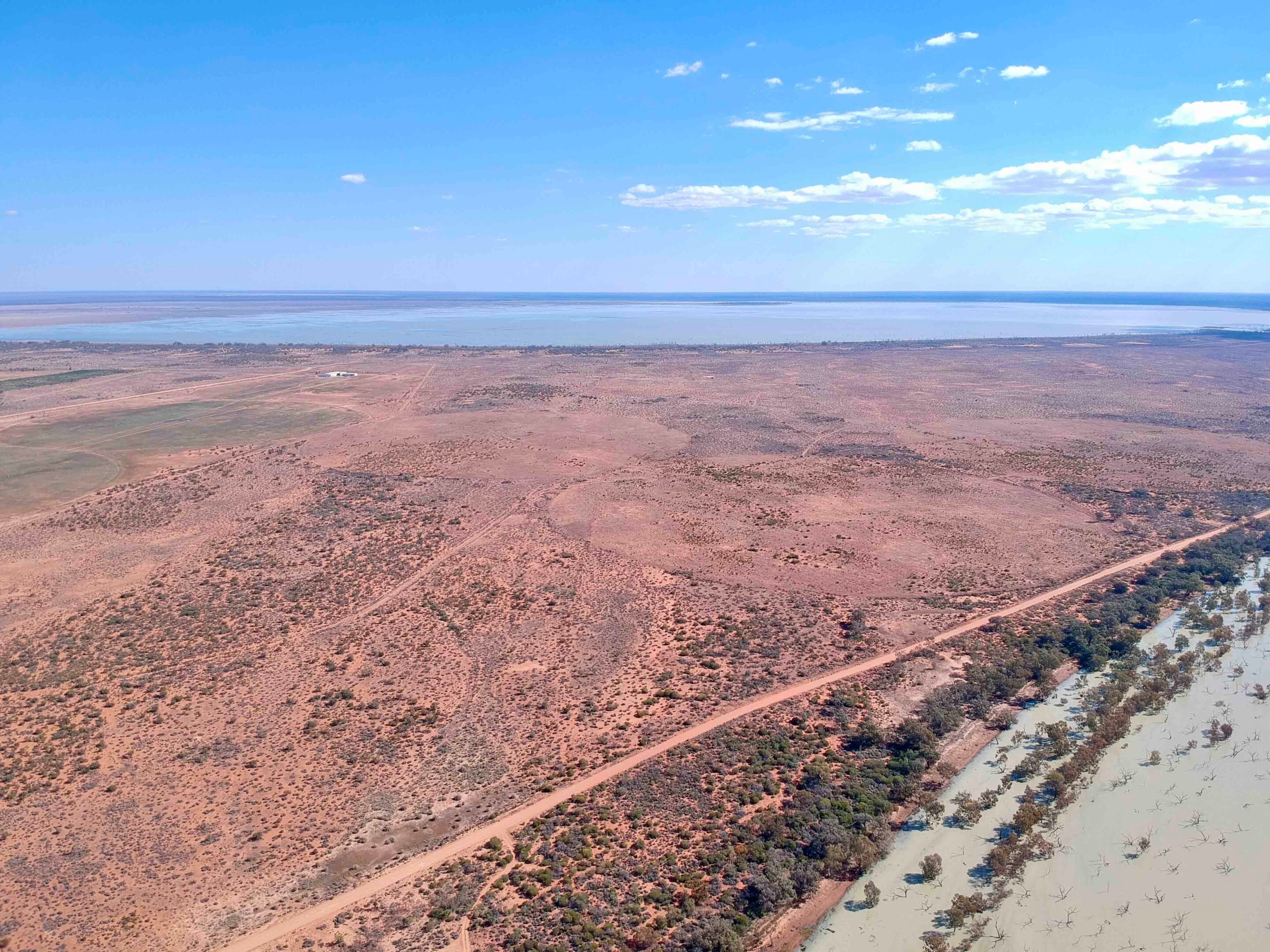
Menindee Lakes: Wetlands Reborn
The final leg of our journey took us south along the Darling towards the Menindee Lakes, about 150km from Wilcannia.
Thanks to heavy rainfall in northern NSW months earlier, water was now flowing freely into the lake system – a welcome sight after years of drought and dry beds. The Menindee Lakes cover an impressive 475 square kilometres and, when full, hold around three times the volume of Sydney Harbour. At the time of our visit, around 17 billion litres of water per day was pouring in, swelling the lakes towards capacity and transforming the landscape into a wetland wonder once more.
43
Life is returning to the Menindee Lakes in a big way – birds, fish, frogs and even blue yabbies are once again thriving in the rejuvenated wetlands. In recent years, the Darling and its lakes have been at the centre of controversy, with widespread criticism over poor water management. Hopefully, the current recovery signals a turning point.
Originally constructed between the 1950s and 1960s, the Menindee Lakes system was designed to capture and retain floodwaters, supplying water to Broken Hill, local mines, and for stock and irrigation use. Long before the lakes were engineered, early European explorers saw this area as a vital stopover when travelling up from Adelaide. It was one of the few guaranteed water sources, making it an essential place to rest and resupply before pushing into the harsh interior to the north. The first recorded use of the Menindee region as a lifeline dates back to 1835, with expeditions led by the likes of Charles Sturt, Thomas Mitchell, and later the ill-fated Burke and Wills journey.
There’s a raw beauty to this region that leaves a lasting impression – whether you’re drawn by the rich history, the laid-back outback lifestyle, or simply keen to tick off another iconic Aussie drive.
The Darling River never fails to deliver, offering a journey that’s as rewarding as it is unforgettable.
MORE
NSW travel yarns!
Follow 4X4 Australia on Google
Get more 4x4 news, reviews and gear stories from 4X4 Australia in your Google feeds.

We recommend
-
 Explore NSW
Touring the New England region of the Great Dividing Range
One of Kev Smith’s favourite places is in his own backyard: the New England area of the Great Dividing Range on NSW’s north coast
-
 Explore NSW
Best 4x4 tracks near Sydney
There's more to Sydney than an Opera House. Here are a few spectacular 4x4 destinations close to the city for weekend adventures
-
 Explore NSW
Trekking the Great North Road in NSW
If you’re feeling energetic, there is plenty to explore along the historic Great North Road just north of Sydney