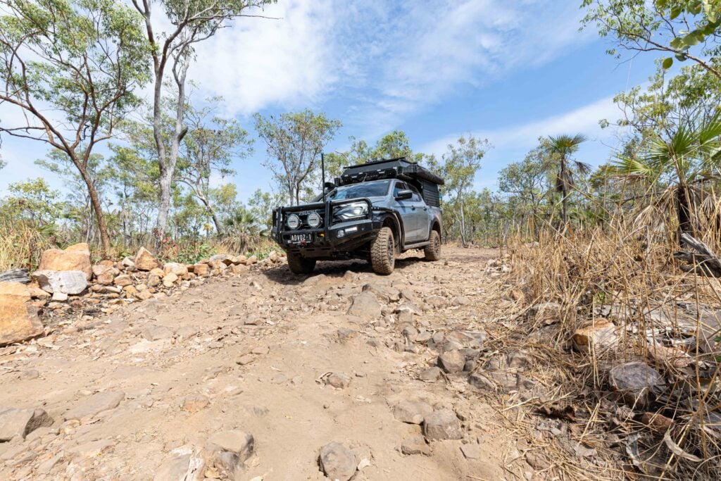
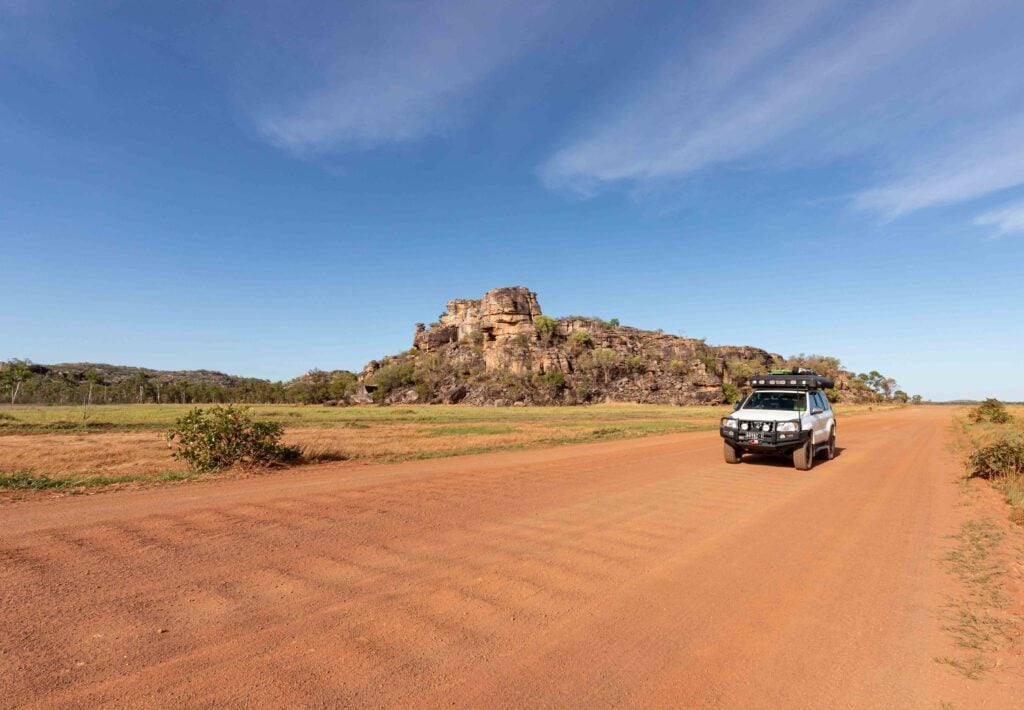
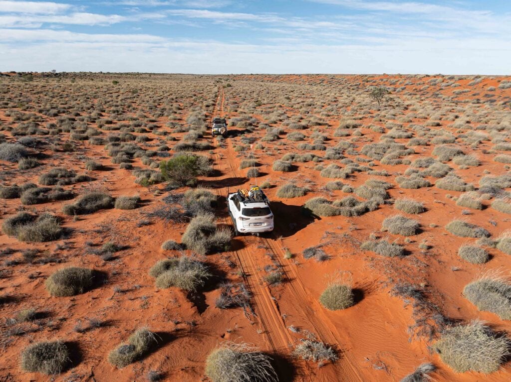
Explore NT
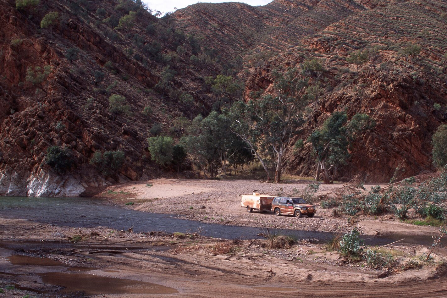
Gallery 1
This circuit of Central Australia and the East MacDonnell Ranges makes for a good three- or four-day trip with ancient Aboriginal art, early pioneer history and natural delights.
There’s also a chance you’ll find a gemstone to remember your adventures by.
The trip starts in Alice Springs and continues along the Ross Highway’s bitumen, passing the Emily Gap turnoff after about 10km and the Jessie Gap turnoff after about 18km. Both gaps are delightful, and Emily Gap has a large and impressive Aboriginal rock painting that depicts the Caterpillar Dreaming. Depending on rainfall, you might have to get your feet wet to see it, though.
Approximately 12km later you’ll come to a road junction where the Explorers 4WD Route veers to the right. You can continue along the Ross Highway, or turn right on to the good dirt of the Explorers Route.
After about 42km on the dirt tracks, the route will swing north for 15km, crossing the sandy bed of a creek a number of times before coming to the track into N’Dhala Gorge. Take this track for another four kilometres and you will arrive at a small camping area close to the mouth of the gorge.
Walking through the gorge in the early morning is an enjoyable experience. A host of birds delight in the water points that are scattered along the creek’s rocky bed, while flowering trees and shrubs provide them with nectar. The area is best known, though, for its thousands of ancient Aboriginal rock engravings, or petroglyphs.
Back on the Explorers Route, the track north crosses the sandy bed of the creek a couple more times before arriving eight kilometres later at the Ross River Homestead access road, just a short distance from this well-known resort. The old homestead, one of the first to opens its doors to travellers in Central Australia, has limited supplies and offers accommodation, camping and tours.
Just a few kilometres west of the homestead you’ll meet with the main Ross Highway. It’s only a short backtrack west down the bitumen to the turnoff to Trephina Gorge, which offers some of the best camping in the area and some excellent walking trails.
Heading east from the junction the route turns to a well-maintained gravel road for 32km to the Arltunga Historic Reserve. You’ll pass the Arltunga Bush Hotel (now closed) and just past here you’ll enter the small Arltunga gold fossicking area, which is located on the southern boundary of the historical reserve. This area is the only spot where fossicking, if that is what you are into, is allowed around here.
It’s well worth spending a day in and around Arltunga, which was the site in 1887 of the first gold rush in Central Australia. Six years later the population had dwindled to just 300 and within a few years they had all left, but not before 7000 tonnes of rock had been crushed for 9500 ounces of gold.
Many of the first miners here were Cornishmen fresh from the famous mines in South Australia. Today, many of the buildings they built in this remote and dry region of Australia have been restored as a testimony and a monument to the miners’ skill and pioneering endeavour.
Just east of the deserted bush hotel, a road leads north into the historic reserve and the well-set-up, but normally unmanned Visitor Centre. North of the Visitor Centre you’ll find the old police post and gaol and another road leading to the Government Works area where a gold battery had been established. Here are the most significant ruins of the gold fields along with an old boiler and assorted machinery.
By travelling a short distance east at ‘The Cross Roads’, where there was once a store and hotel, you can continue to the White Range Cemetery or walk to the old mining areas in the White Range.
From the Cross Roads a reasonable dirt road (the Arltunga Tourist Drive, the Explorers Route and part of the Binns Track) heads north and this is the one to take, exiting the reserve and passing Claraville Homestead about 10km later. It then crosses the upper reaches of the Hale River, before coming to Old Ambalindum Homestead, which offers pleasant camping and accommodation.
About 50km west of Old Ambalindum, you’ll come to the junction of The Pinnacle Road; straight ahead leads 48km back to the Stuart Highway, while heading north (our recommended way) for 40km along a good dirt road leads to the blacktop of the Plenty Highway.
Along the way, the road passes through the Strangeways Range and skirts along the edge of Gillen Creek before passing the access track to the Mud Tank Zircon Fossicking Field. You can camp at the field, but it is a bit rough with no facilities.
The Gemtree Caravan Park, situated on the Plenty, just eight kilometres west of where you meet the bitumen, is a top spot to spend a day or two. Gemtree can fulfil your basic needs and has camping and cabin accommodation. Their tours, led by an expert fossicker, will give you a high chance of success in finding some fine gemstones.
From Gemtree it’s 70km back to the Stuart Highway and another 70km to Alice Springs. Take three days to do this jaunt. Maybe spend an extra couple of days at Gemtree – you’ll love it!
Click here to explore more of the Northern Territory.
Follow 4X4 Australia on Google
Get more 4x4 news, reviews and gear stories from 4X4 Australia in your Google feeds.