Explore WA
Gallery 1
Getting to Dirk Hartog Island seemed pretty easy on paper, just head out towards Steep Point in the far west of Western Australia, book the barge and spend a few days exploring the island.
But it wasn’t until I started doing proper research that it’s not quite that easy; this needed some proper logistical organisation.
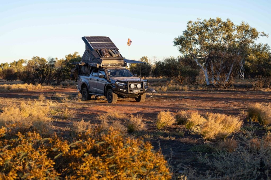
The island has a few rules, and one of the most important is that only 20 vehicles are allowed there at any one time. So with that in mind I found a time slot to suit my exploration of the island for five days, next was fuel and supplies.
1
The nearest fuel stop to where the island’s barge departure point is more than 200km away, and the same for the drop-off point, plus I needed to allow travel for at least 100km of the island’s tracks, all with low tyre pressures.
All up I should be good for nearly 500km worth of 4WDing. A fuel drop can be organised on the island, but expect to pay a premium price.
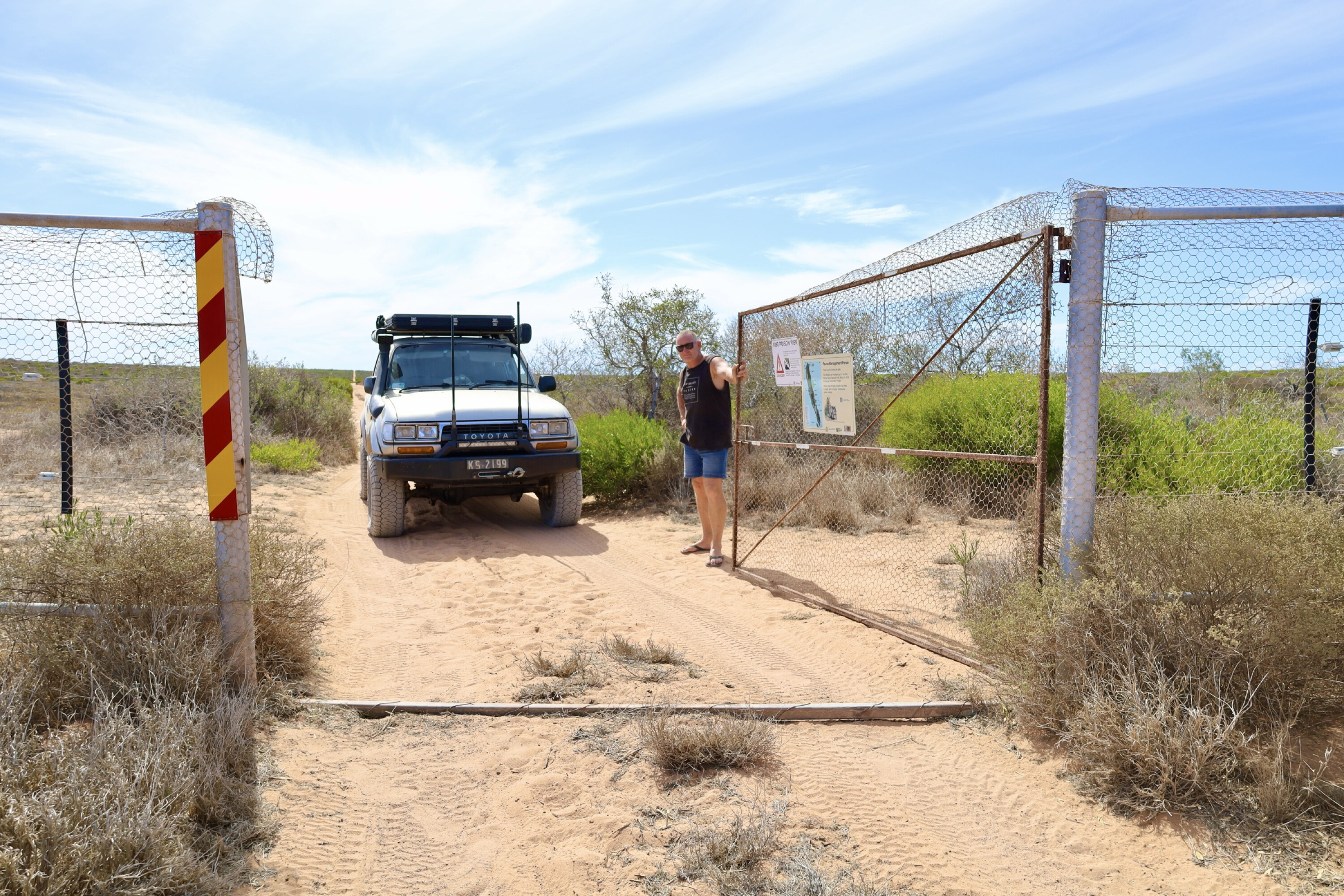
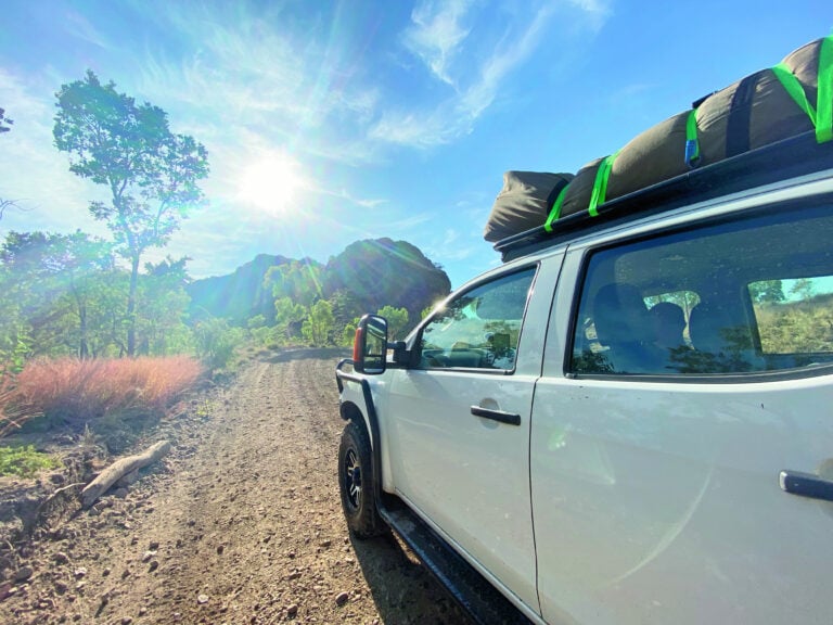
With both fuel tanks chokers and a top-up shop at Denham on the Cape Peron peninsula I headed to Steep Point, and where the Dirk Island barge pick-up point was. Conserving fuel, it was an easy 100km drive to the turn-off point on to Useless Loop Road which is sealed for part of the way.
1
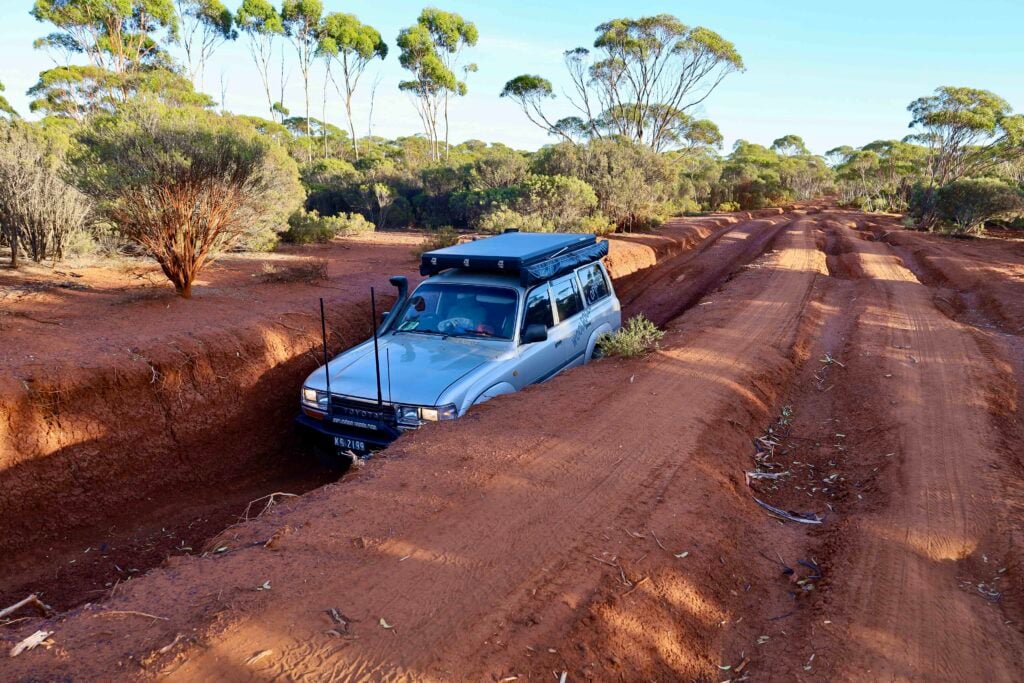
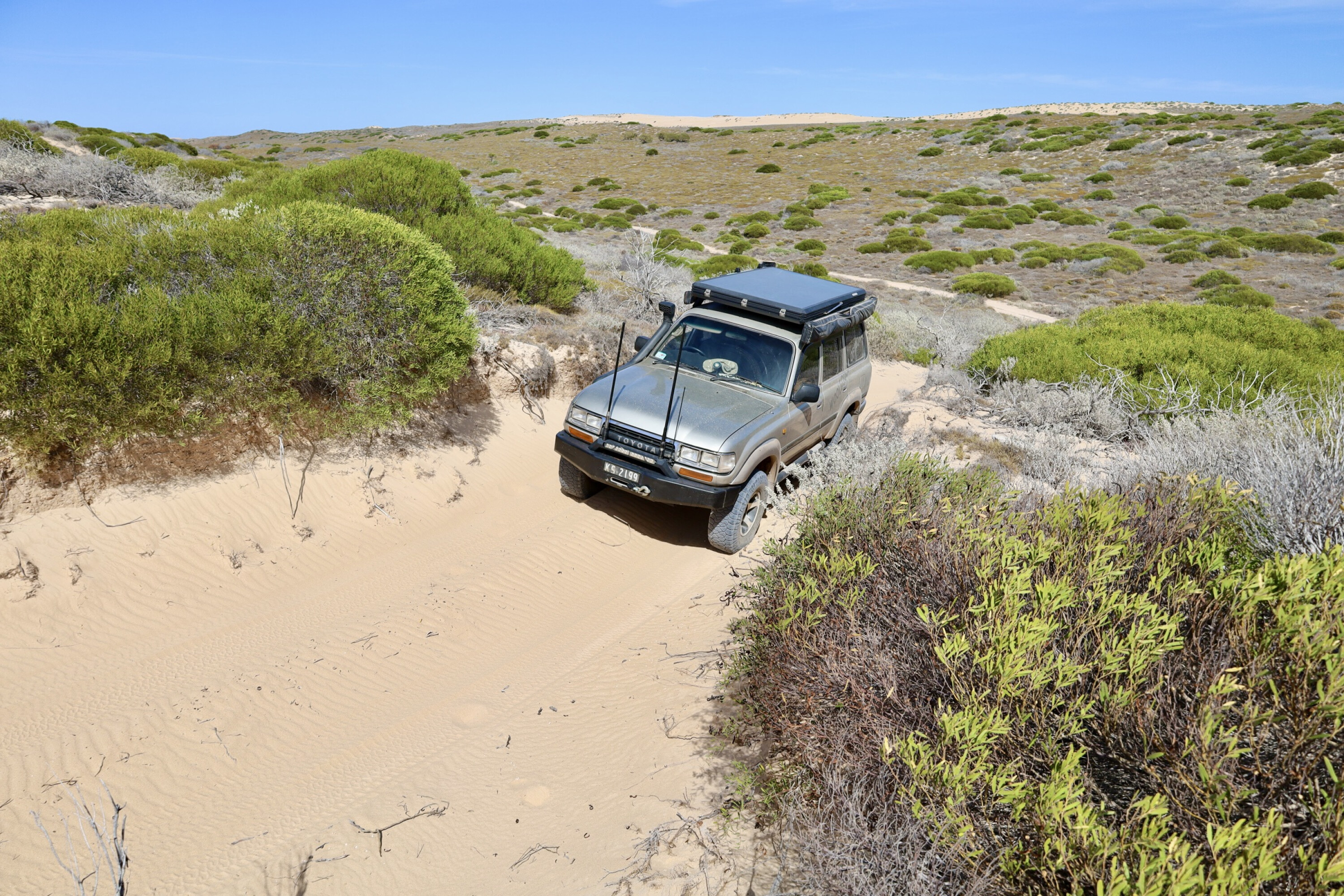
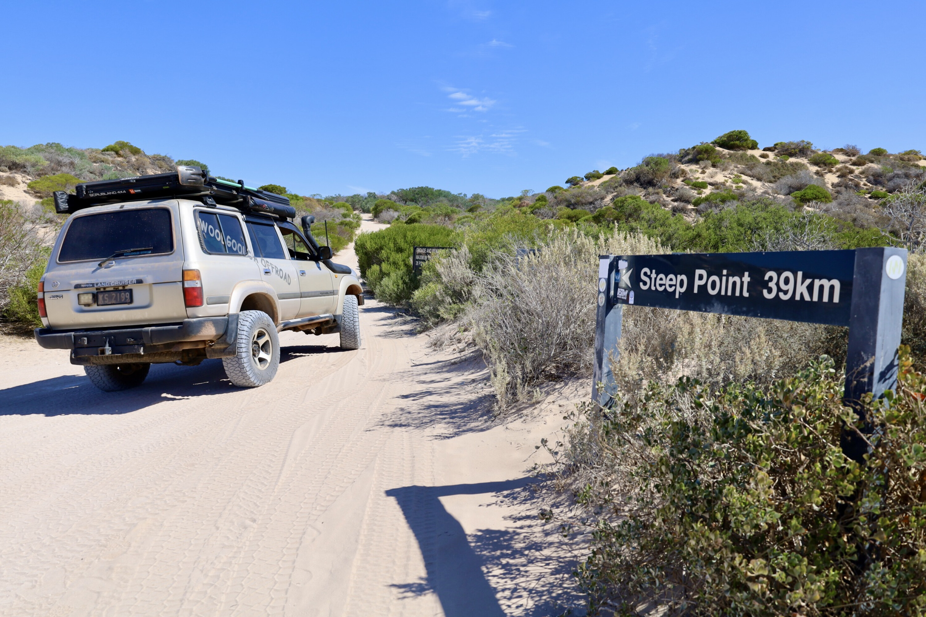
It wasn’t long, though, before it was time to drop the tyre pressures for the dirt-road section, and the sand started.
Signposted 39km before Steep Point, Parks WA recommend dropping tyres down to 28psi and switching to low range for the sand-dune section and corrugated roads. It’s a point well taken as the road to Steep Point was extremely rough from recent traffic, and I must admit some of the worst I have come across in 30 years.
With a few hours of daylight left I headed up to the Steep Point sign for the obligatory photo to say ‘been there, done that’, and with the barge pick-up point and camp spots right on the beach.
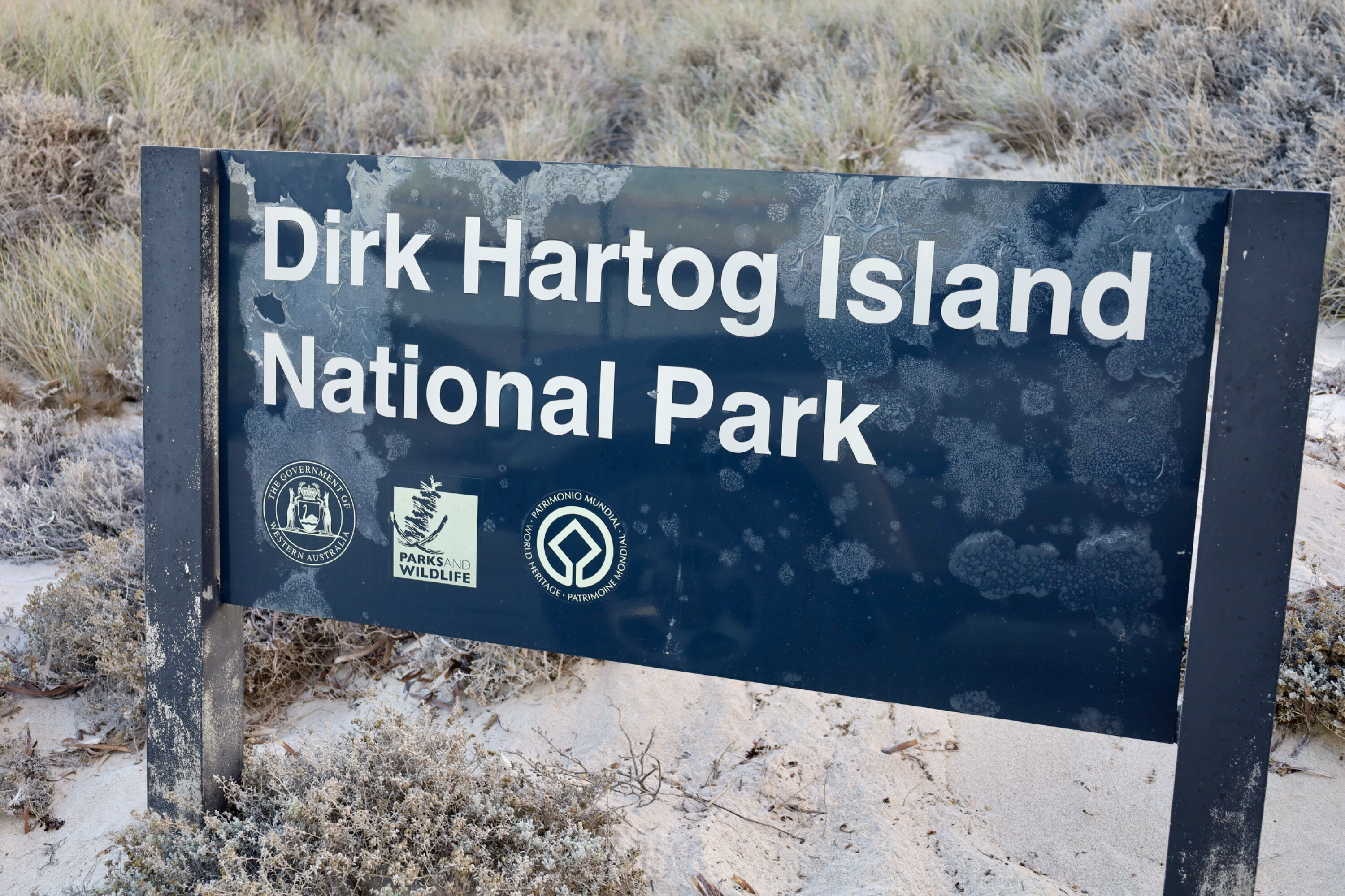
I soon settled in for the night to wait for the early morning departure to Dirk Hartog Island National Park in the Shark Bay World Heritage Area.
1
No argy-bargy here
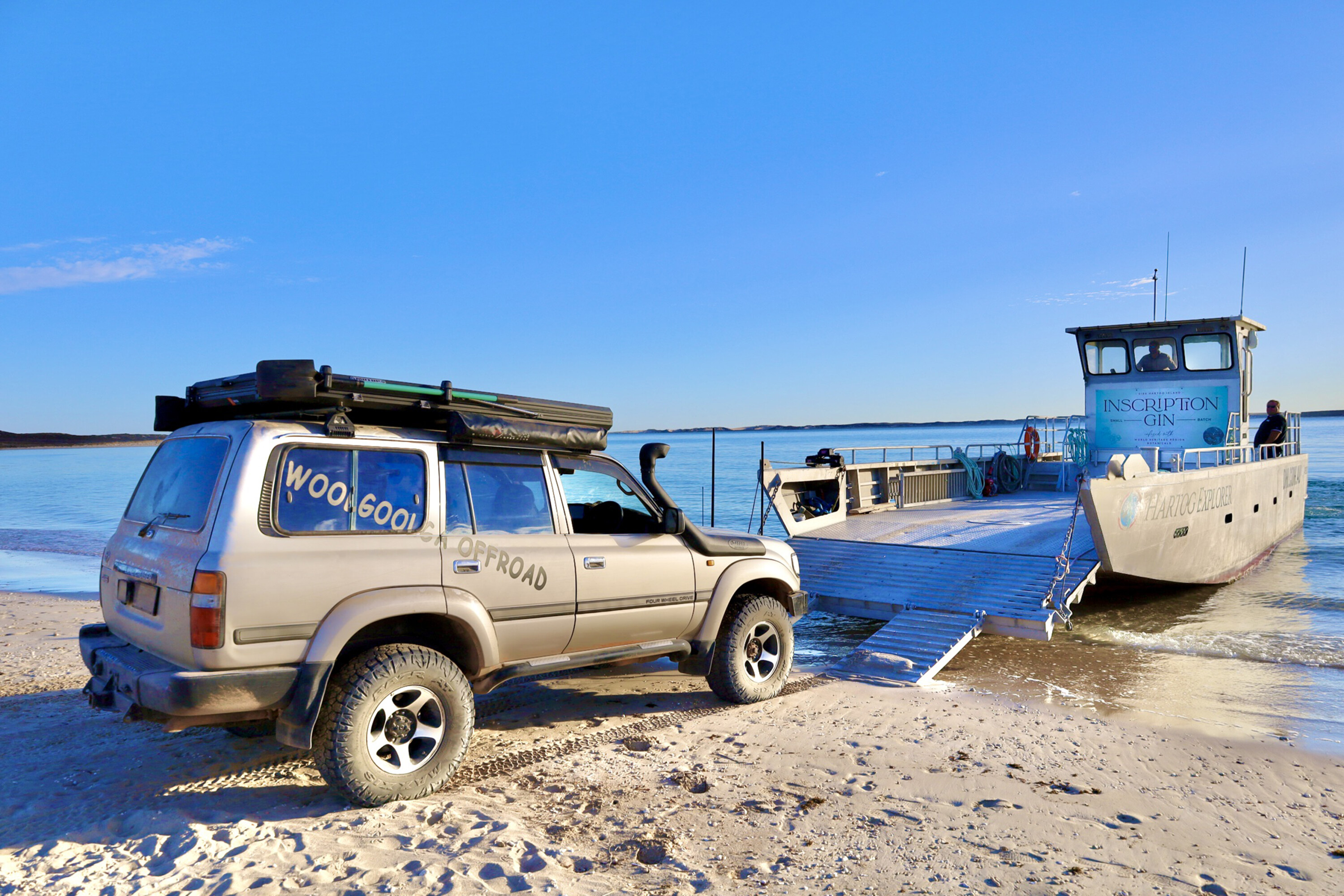
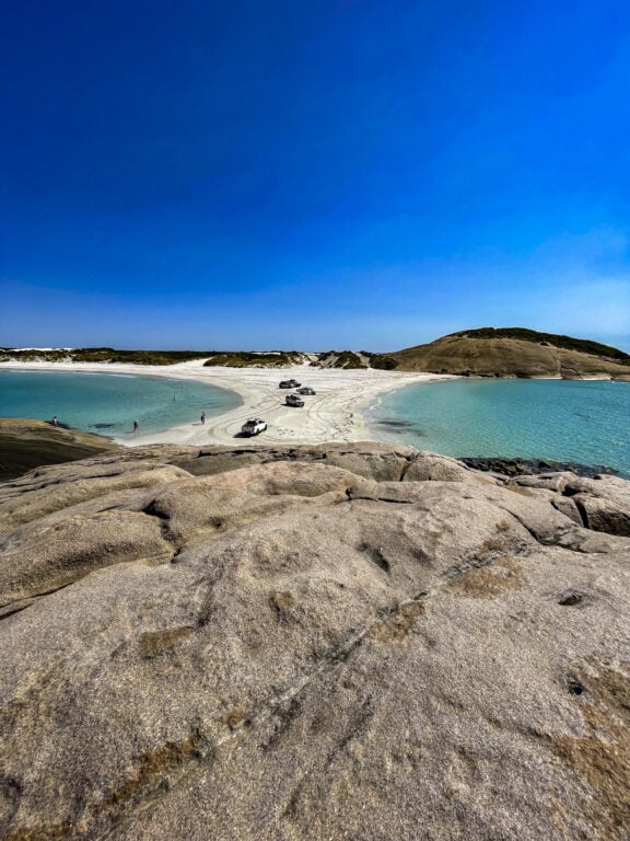
The barge takes one car across at a time (and brings one back) in a 30-minute turnaround time.
Camper trailers are welcome but must come within a specified length, and 4WDs must have their tyres down to 20psi so they don’t get bogged when backing off the barge.
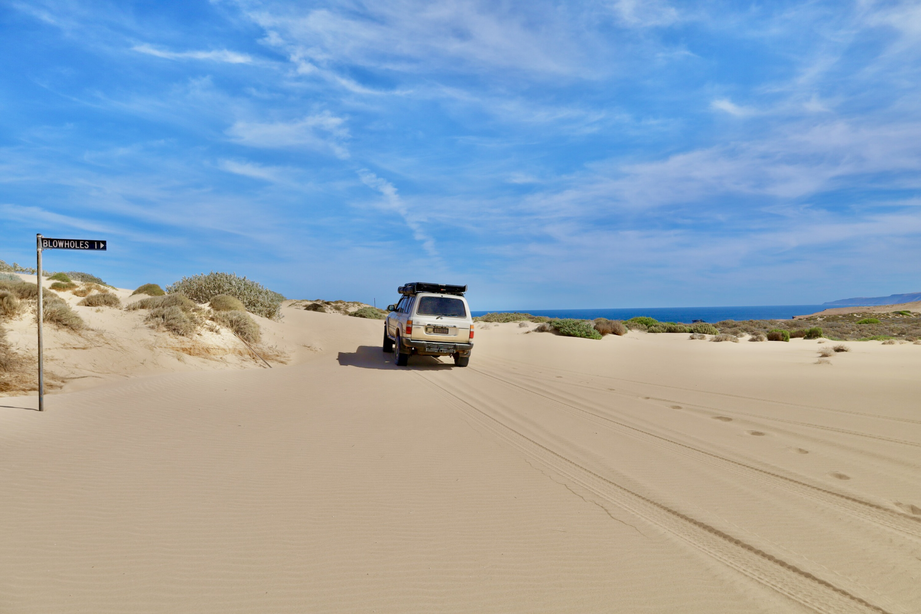
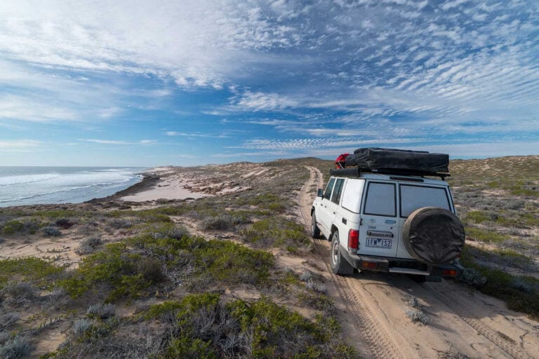
My reasons for going to Dirk Hartog Island were to explore the remoteness of this island, delve in to its history and see just why it’s now classed as a World Heritage site. The island is roughly 70km long, 20km at its widest point and has only about a dozen tracks that criss-cross its entirety.
1
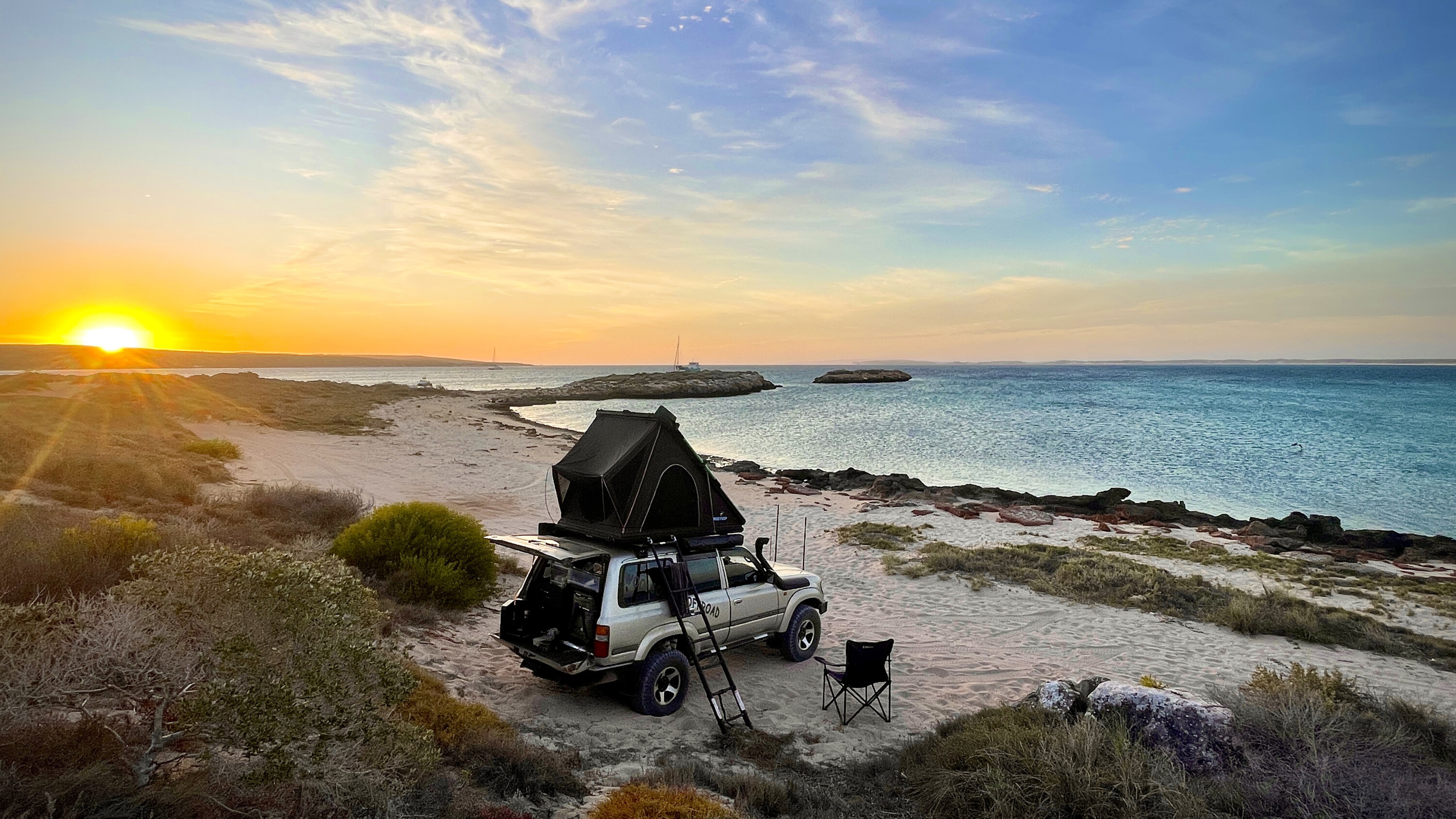
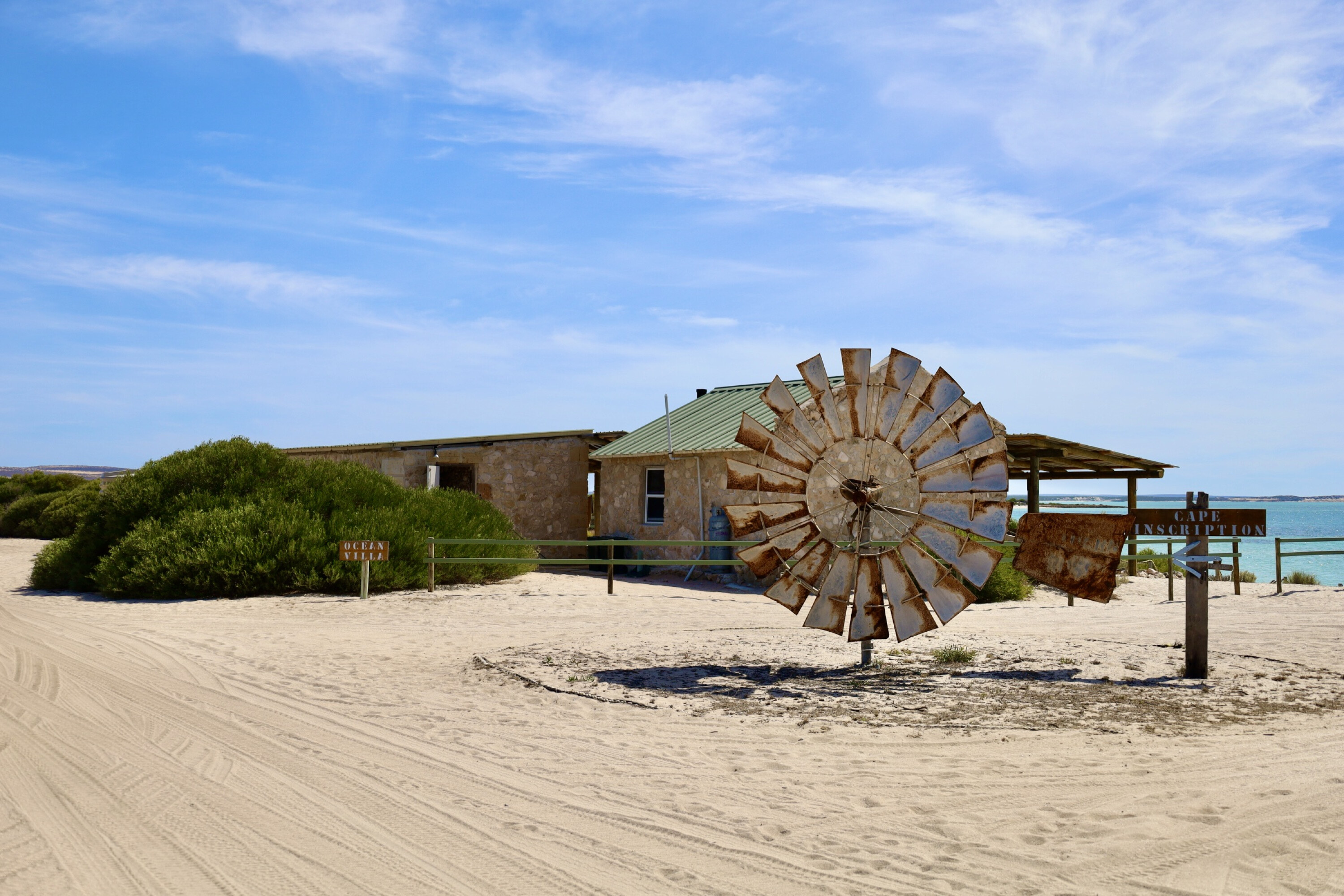
There are eight campsites on the island, seven are remote and the other is near the island’s Eco Lodge. Here you can also enjoy the local bar, grab a coffee or a souvenir, taste their own home-made Inscription Gin and where you can stay in luxury stone cottages.
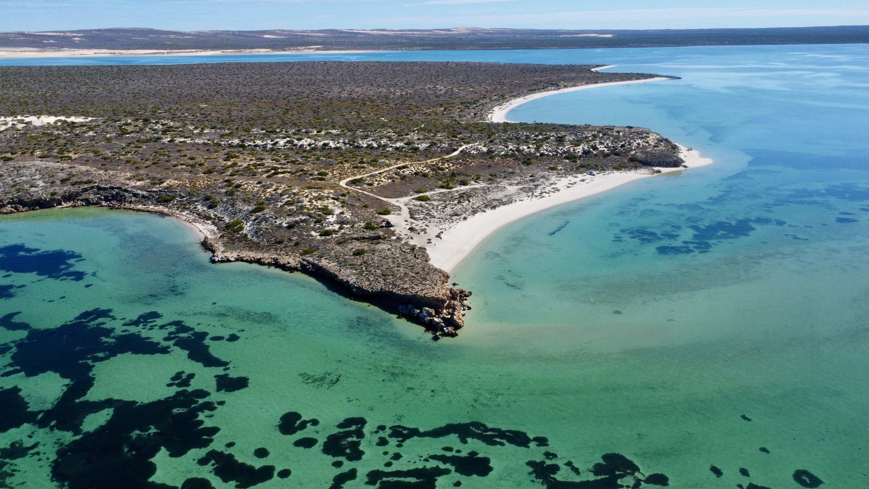
With five nights on the island, I chose a variety of the remote camps away from the centre to experience the isolation and beauty of the place. All the camps have some sort of water view right on the coastline. On the east, the water was still and calm on the sandy shores, but on the west side, Indian Ocean waves constantly pounded the rough rocky coast.
The island took shape during the last glacial period in the Pleistocene epoch (2.6 million to 11,700 years ago) and during the warmer times since then, sand dunes formed and plants grew on them.
1
The vegetation then died in places and the dunes eroded, exposing the calcified remains of vegetation and shells, which can still be seen on the west coast today.
What’s pretty impressive are the shifting dunes in the centre of the island. Ever changing, these dunes are as white as anywhere on the east coast, and the track across the top changes constantly.
My camps varied from the beautiful Notch Point watching the sunrise over dead-still water and watching the flurry of birds when baitfish appeared off the point, to where William Dampier landed in 1699 and be the first person to make the first scientific collection of plants in Australia, then across to the ever-eroding west coast at Quoin Head, watching big sharks cruise the cliffs below.
1
Inscription point
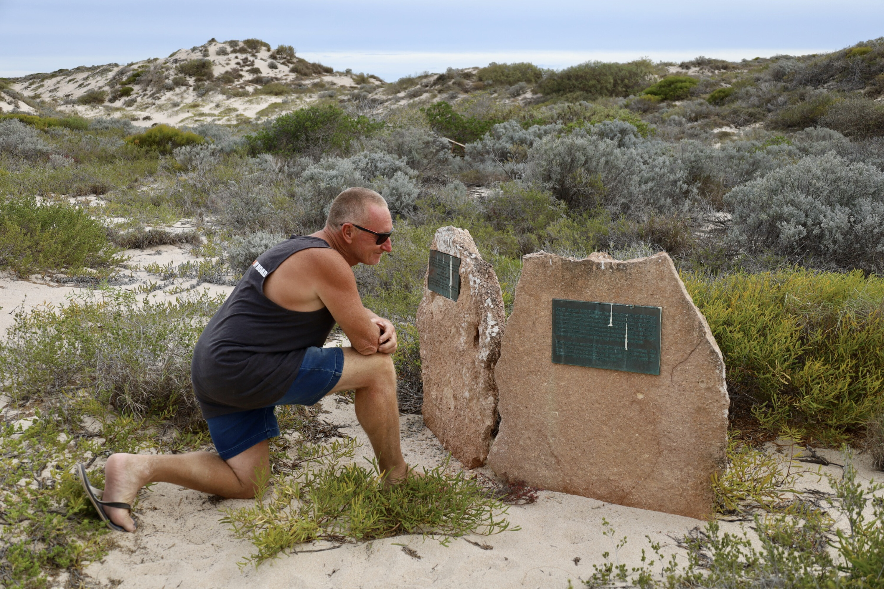
One of my aims was to head to the very top of the island to visit where the first European person ever set foot here.
Named Inscription Point, this is where dutch skipper Dirk Hartog left a battered inscribed pewter dish in 1616 declaring he was here. Hartog was looking for a faster way across the globe for trading goods when he saw the island, he had sailed much farther east than any skipper of the time.
Over the next 200 years, more explorers visited the island, such as William de Vlamingh who in 1697 removed Hartog’s dish and left another one with the original inscription with his own details, then in 1818 Freycinet visited the island removing Vlamingh’s dish hoping to take it back to France for safe keeping.
1
En route, Freycinet’s vessel was wrecked but the dish was saved and arrived in Paris in 1821. Eventually the island became home to settlers with industries ranging from guano collection, pearling, fishing and then pastoralism.
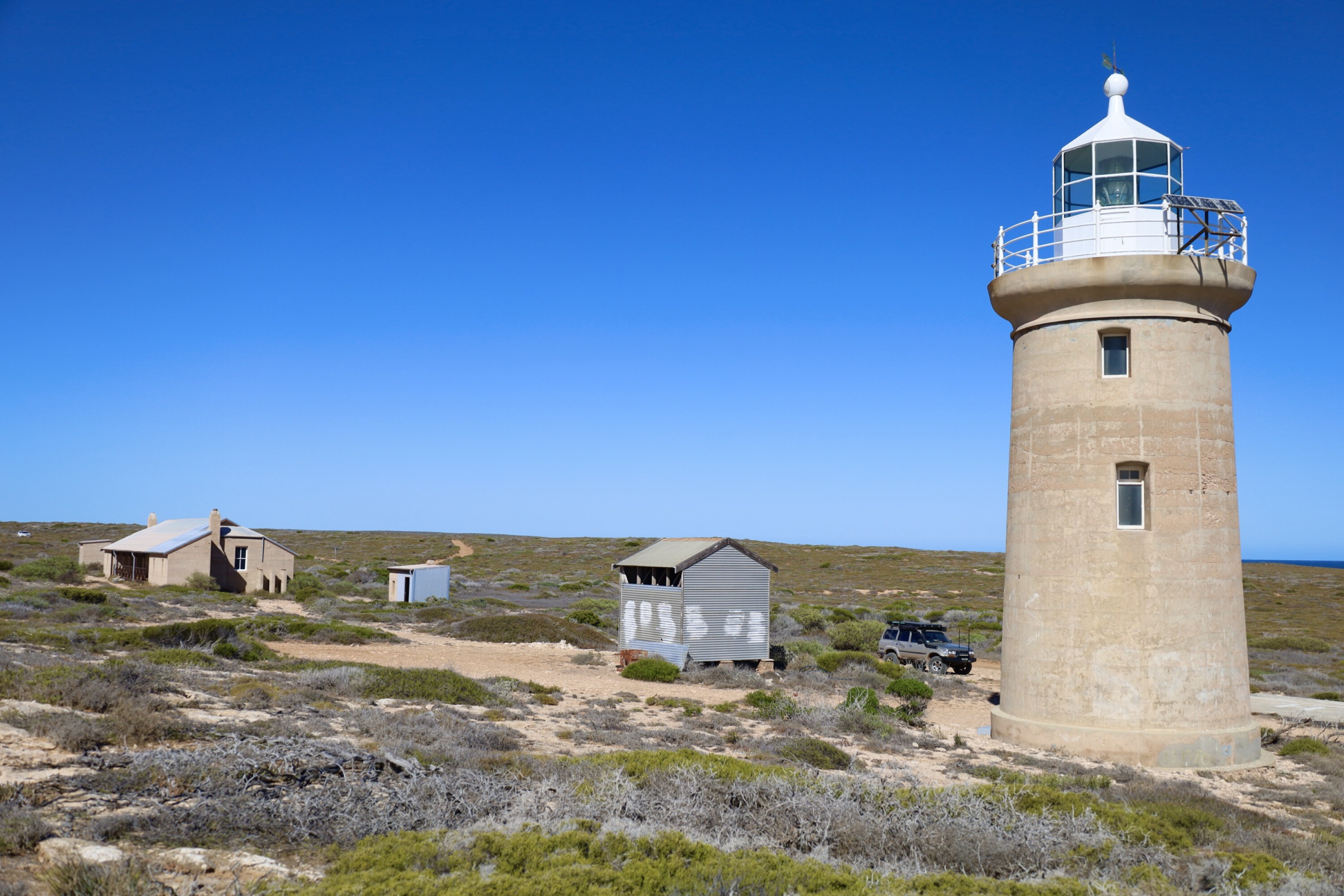
At Inscription Point, the 123-year-old lighthouse is now solar powered and several other buildings around the historical site have interpretive boards. It was in 1908 that construction of the lighthouse started to improve navigation along this part of the coast and nearby at Turtle Bay, a 70m-long jetty was built and connected to the lighthouse by a tramway.
At Dampier’s Landing, turtles lay their eggs through the dunes between November to April, this significant spot is the largest nesting area for the loggerhed sea turtle in Australia.
1
A ‘Return to 1616’ project has been running on the island for many years to eradicate the pests brought to the island ever since Hartog landed.
Anything from goats, sheep, foxes through to cats have now been removed from the island. Grazing also trampled the food and shelter for many of the native species which were in grave danger of extinction.
A feral animal fence divided the island in to sections to control and eliminate the pests and even today it still stands and cuts the island in half. The Return to 1616 project has been a huge success and ten of the native species have been returned to their natural habitat across the island.
Dirk Hartog island is a beautiful yet harsh place to visit, and is now a World Heritage island for the future.
1
Travel planner
- The island can’t be rushed.
- The roads are corrugated, stony or sandy – I spent a lot of time in either low or high 4WD.
- You must be totally self sufficient and prepared for isolated camps and roads.
- While on the island, I knew there were other people, but saw no one in five days.
- Make sure you spend time to explore the whole island, it can’t be done in one day with nearly 200km worth of tracks to explore.
Dirk Hartog Island is off WA’s west coast adjacent to Steep Point, the most westerly point of mainland Australia.
Now classed as a national park, Dirk Hartog is being returned back to its natural habitat with the eradication of all feral pests. It’s a logistical effort to get to island where only 20 vehicles are allowed on the island at any one time, so it’s peaceful, isolated and a remote place to spend some time.
The Island is part of the UNESCO Shark Bay World Heritage Area. Dirk Hartog is WA’s largest island.
1
What to see and do
The most significant thing to see on the island is where the Dutch skipper, Dirk Hartog landed in 1616 and left an inscribed pewter dish.
Cape Inscription has a lighthouse and buildings, there are remote camps and blowholes, and visit where William Dampier landed in 1699. There’s great fishing and snorkelling around the island also.
Other info
All the relevant information can be found on the Dirk Hartog Island website [↗]
Follow 4X4 Australia on Google
Get more 4x4 news, reviews and gear stories from 4X4 Australia in your Google feeds.
We recommend
-
 Explore WA
A south west odyssey: Hopetoun to Esperance, WA
From Hopetoun to Esperance and through to the Duke of Orleans Bay, this stretch of coast makes for a rollicking beach adventure along the edge of Western Australia's south-west...
-
 Explore
4x4 adventure: Bungle Bungles to Windjana Gorge
For the adventurous, the Kimberley at the top of WA offers much in the way of National Parks, headed by the world-famous Bungle Bungles and Windjana Gorge
-
 Explore WA
Dirk Hartog Island, WA: 4x4 travel guide
Some describe Dirk Hartog Island as the Fraser of the west coast, but this exclusive Western Australia 4x4 destination offers a remoteness that its Queensland cousin simply can’t match.