Explore QLD
Gallery 1
The Cloncurry region in the heart of Queensland’s outback has always fascinated me, though I’ve never really stopped to dig deep.
Explorer Robert O’Hara Burke and his ill-fated expedition passed through here back in 1861 on their race to the Gulf of Carpentaria. They crossed the Selwyn Ranges at the height of summer – a great relief for Burke, whose camels were bleeding and exhausted from the rough terrain – but soon faced wet-season rains and monsoonal heat. He named the Cloncurry River after a good friend in Ireland, and it was after following the Cloncurry into the Flinders River that the party made its furthest northern camp, number 119.
1
Why Cloncurry deserves more than a drive-through
Today it’s a rich mining town sitting in the shadow of Mount Isa, 120km away – with just as much to see and do, but without the crowds.
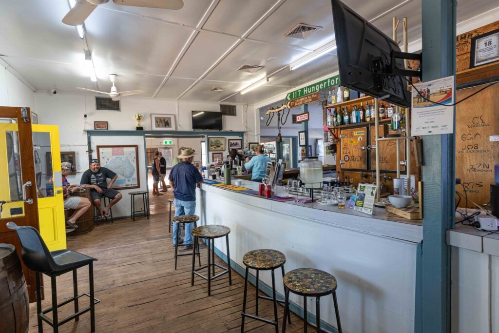
The first port of call in Cloncurry for any visitor should be the Unearthed Visitor Information Centre on the eastern side of town. Set on several acres, there’s plenty to see and do, with old mining gear, restored buildings and a fascinating museum inside the main centre.
The old police station on site was originally located miles away at Oona Siding. Built in the early 1900s, it was later pulled down and moved to the small township of Dobbyn, near the Mary Kathleen mine site. It received a full refurb when it was relocated to its current position and is now filled with memorabilia from that era.

1
Chinaman Dam, lookouts and local mining history
No visit to Cloncurry is complete without a trip to Chinaman Dam for a picnic, a spot of fishing, or – if you’ve brought a boat – a chance to explore the dam itself.
A good viewing point to take in the town, surrounding country and mine sites is the Chinaman Creek lookout and water tower. It’s a great vantage point offering 360-degree views and some fascinating local history panels. In 1867, Ernest Henry explored the area in search of grazing land but, to his surprise, discovered large deposits of copper.
Today, the Great Australian Mine named in his honour still produces high-grade ore. Cloncurry was also the site of a major air force base during the Second World War and is famously where the Royal Flying Doctor Service was founded in 1928. John Flynn chose Cloncurry for its central location near mining camps and pastoral stations – back in the early 1900s, it boasted the largest cattle-selling yards in north-west Australia.

1
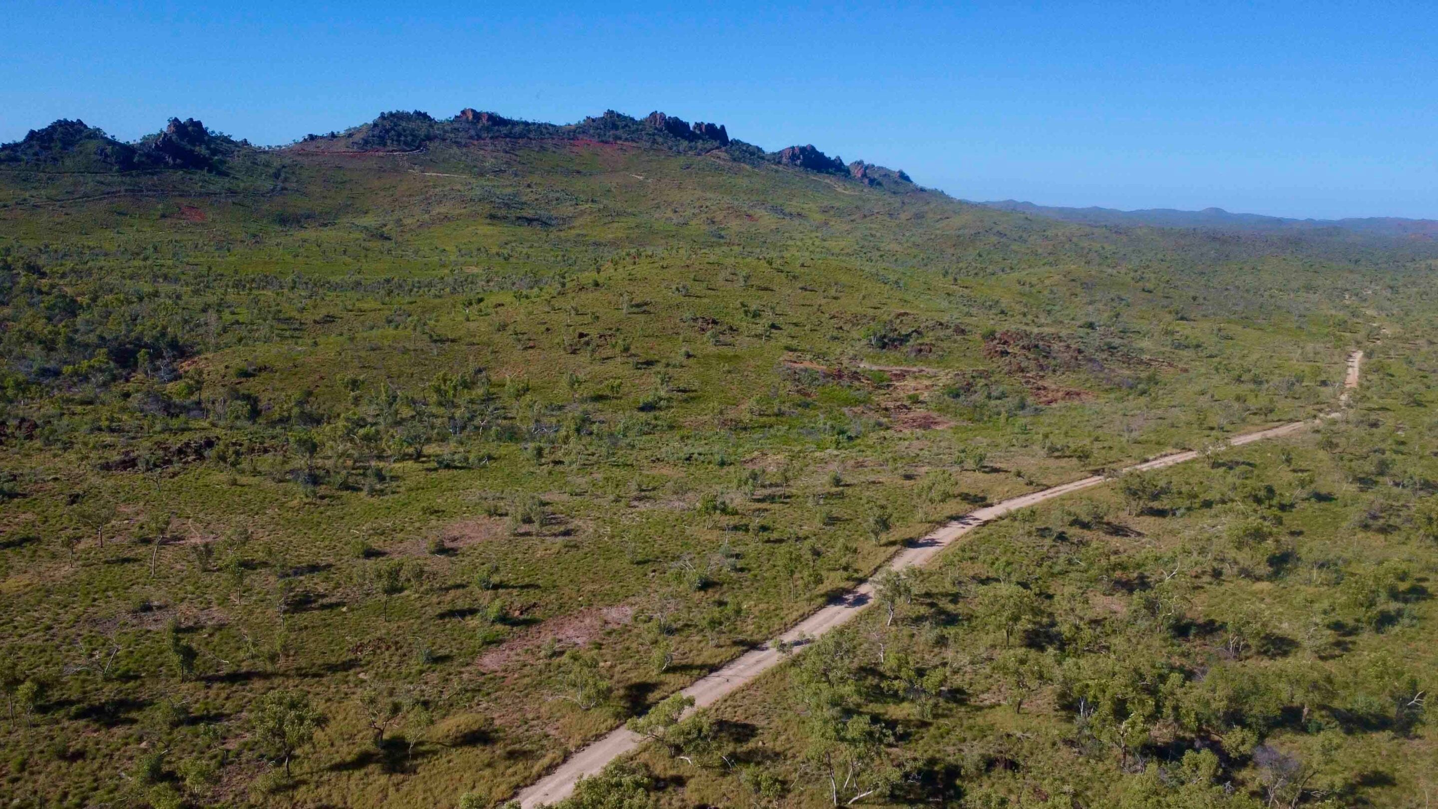
Mary Kathleen, Corella Dam and the Ballara Mining Trail
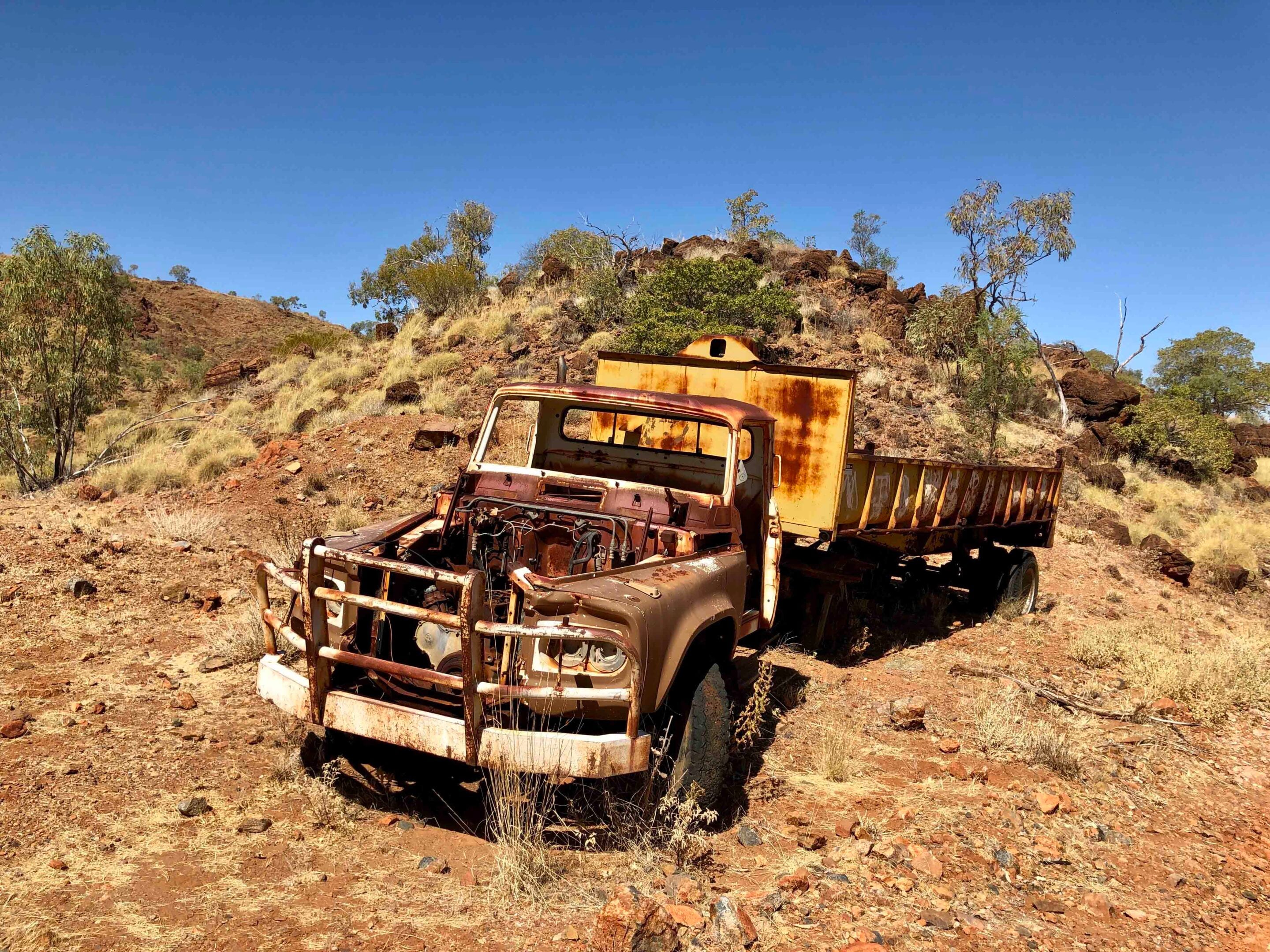
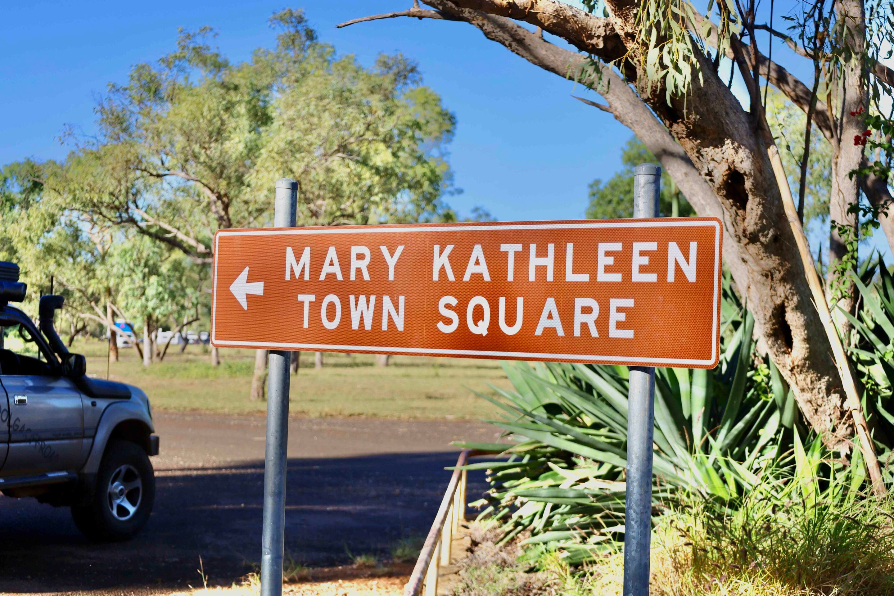
Most people who travel the road between Cloncurry and Mount Isa to the west know about Mary Kathleen – the now-closed mining town that was literally auctioned off after the nearby uranium mine fulfilled its quotas, never to reopen again.
Midway between the two towns, it sits in the stunning Selwyn Ranges, where Clem Walton and his mate Norm McConachy discovered uranium while prospecting in 1954. Over the years, a town was established to cater for families and workers, but when all contracts were filled by 1982, the town was dismantled and sold off. Rehabilitation works began soon after at significant cost – and the project even won an environmental award for its success.
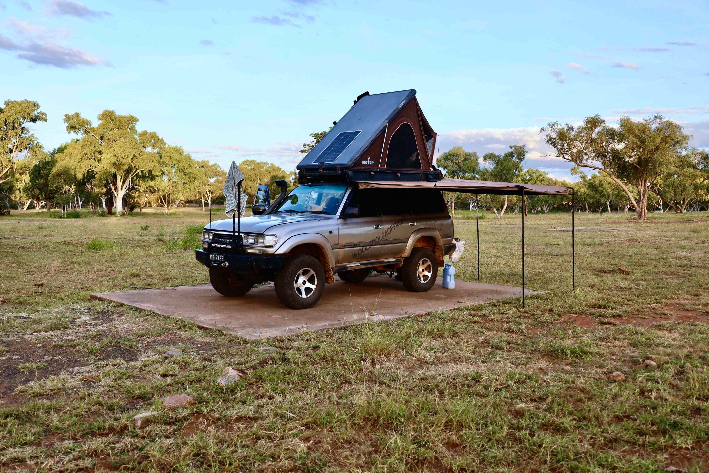
Today, it’s a free camp where you can literally park on the old house slabs and set up for a week to explore the area, or drive out to the old mine pit, which has since filled with water. The deep blue colour of the water comes from the minerals left in the pit, and around its edges tree branches have become coralised due to the water’s properties.
1
When Mary Kathleen was built, Corella Creek was dammed to create the town’s water supply. South of the site and now known as Corella Dam, it’s another free camping area – popular for its healthy supply of redclaw and freshwater crocs. Southerners often stay for months at a time here, soaking up the serenity and filling their eskies.
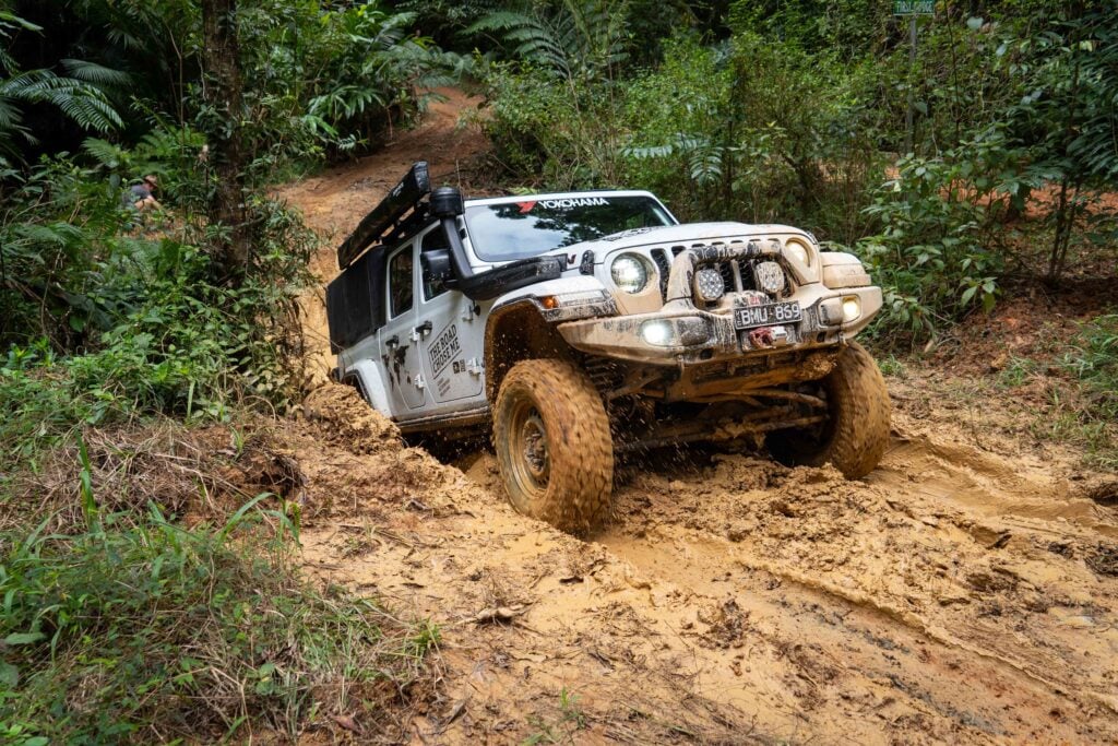
Copper was discovered in the Argylla and Selwyn Ranges, and today the Ballara Mining Trail is open to anyone keen to explore the region’s heritage while getting off-road – just up the highway from the Mary Kathleen turn-off. The trail is well signposted, leading to a series of historic sites where you can spend a day exploring old settlements, rail sidings and operational areas. Some of the 4×4 tracks follow the original narrow-gauge rail line to the Wee MacGregor Tunnel and the main mining zone.
Wee MacGregor Tunnel, Hightville and Fountain Springs
The Wee MacGregor tunnel is heritage listed, and it’s pretty cool to walk through – dodging the colony of bats that now calls it home.
At the other end, there’s an amazing view down to the old mine site, where the rail line once twisted its way around the mountain. You can still see the hand-laid rock walls that supported the track along the rocky ridgeline. The track down to the Hightville mine is narrow and steep, suitable only for high-clearance 4x4s due to the severe storm damage that’s regularly caused here in the wet season – but it’s well worth the effort.
It amazes me how they managed to get equipment down to these places back then – today there’d be far too much paperwork. Water was a major issue in this region, according to the history boards along the way. Some years, mining was suspended due to a lack of water, while in others the mines were flooded, creating even more headaches about how to pump it out. In some cases, operations stopped altogether.
29
Left of the harsh mining zones in the Selwyn Ranges lies a worthwhile detour to Fountain Springs Waterfall – an oasis that offers sheer relief from the outback heat on any given day. This natural waterhole holds great significance for the local Kalkadoon people, who have lived in the region for millennia.
It served as both a meeting place and a vital water source while they hunted through the surrounding country. And while Cloncurry might seem like just a quick drive-through town, there’s plenty to see and do before heading off in any direction.
Essential travel information
Where and how to get there
Located on the Flinders Highway, Cloncurry sits 785km west of Townsville in the heart of Queensland’s outback. It’s also the gateway to the Gulf of Carpentaria, just 400km to the north, while an hour to the west lies the mega mining city of Mount Isa, where most major industries and services can be found.
What to see and do
The greater Cloncurry region has plenty to see and do. The town itself is steeped in history, and you can easily spend a day relaxing at Chinaman Dam just out of town. Head a little further west to camp at the old Mary Kathleen township or at nearby Corella Dam. You can also tackle the self-drive 4×4 track to the historic Ballara mining site, walk through the old Wee MacGregor Tunnel, or visit the Mary Kathleen mine, which was once a working uranium pit.
Other useful information
Cloncurry has an informative tourist information centre and museum on the eastern side of town, where staff can give you a full rundown on the town’s history. You can also wander through the old buildings on site and explore the various mining relics. For more information, visit www.experiencecloncurry.com.
Exploring Corella Dam, the self-drive Ballara Mining Trail and the Mary Kathleen site is completely free, with all three located roughly midway between Cloncurry and Mount Isa.
Follow 4X4 Australia on Google
Get more 4x4 news, reviews and gear stories from 4X4 Australia in your Google feeds.