Explore SA
Gallery75
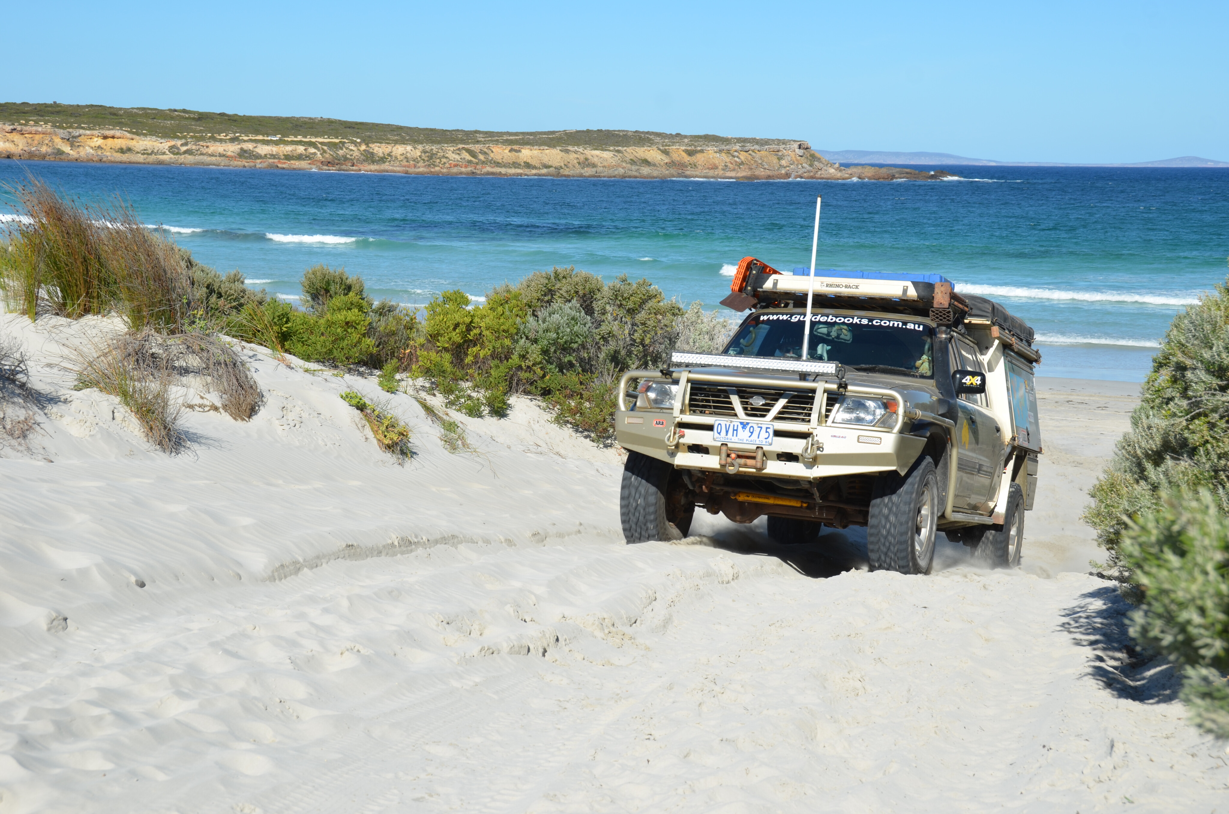
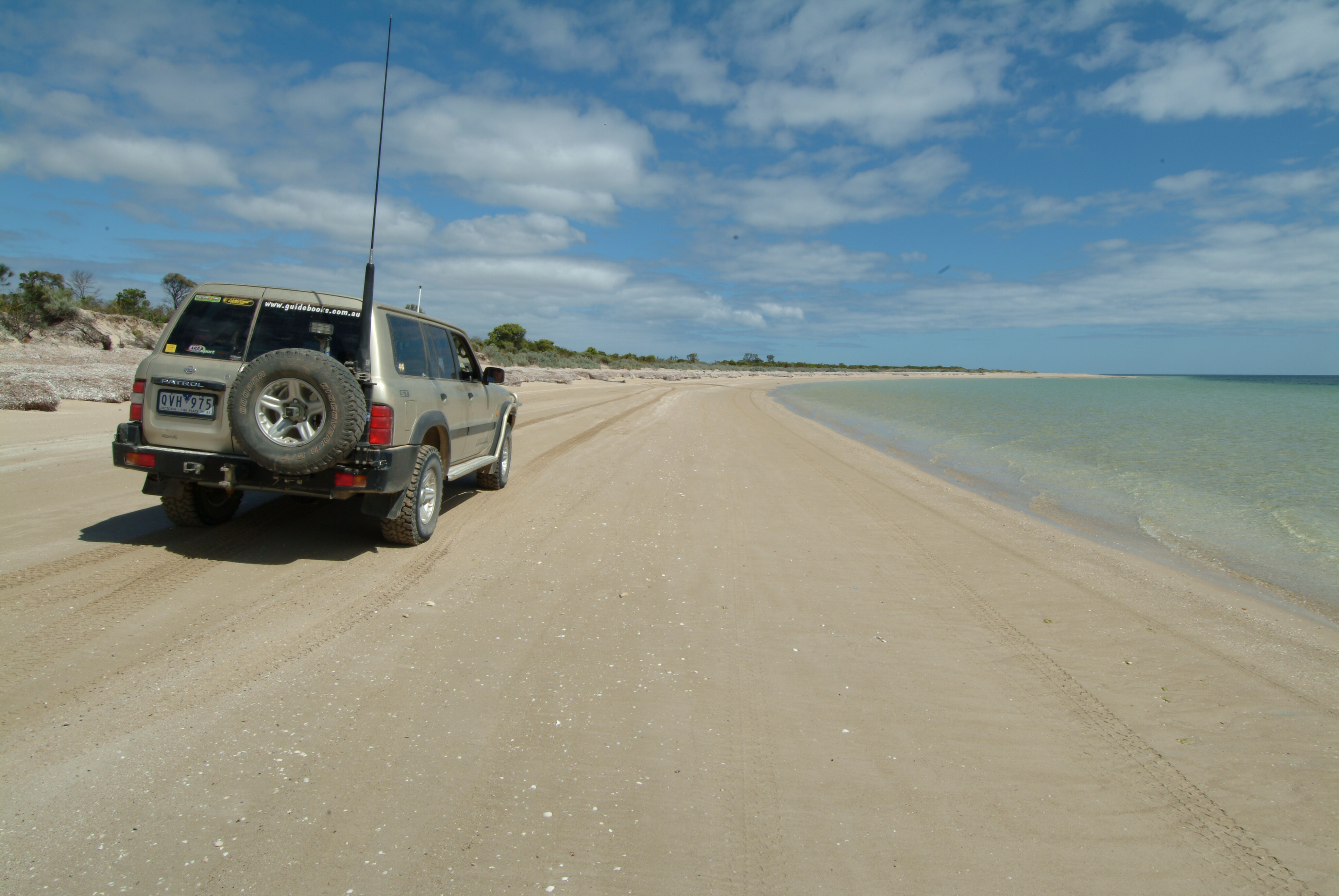
Two hours of frantic digging and using four Maxtrax, I finally got myself and the vehicle to dryish sand and away from the searching wash of the waves that had threatened to engulf the old Patrol.
Now all I had to do was to turn around and get back to firmer soil, my plan of running the long sweep of beach to the small settlement of Sceale Bay in tatters.
While it wasn’t the first time – or the last – that I had been bogged on a west coast beach it surely was one of the most dramatic and challenging, and one that will remain etched in my memory for years to come.
75
It also offers a warning to each and all reading this tale that the beaches of the west coast need to be treated with a big dose of caution… and preferably in the companionship of other like-minded and experienced souls.
But enough of that and to the point of this story extolling the value and attraction of the region, and my favourite camps on the west coast of South Australia, from near Port Lincoln in the south to beyond Fowlers Bay in the far west.
75
Around Port Lincoln
We were driving across a large swathe of rolling dunes along the edge of Sleaford Bay on the Sleaford-Wanna Track, with expansive views to the south that took in a blue sea, breaking lines of white surf and rocky islands and reefs.
Shorter tracks off to our south accessed such fishing spots as the Salmon Hole and Miller Hole.
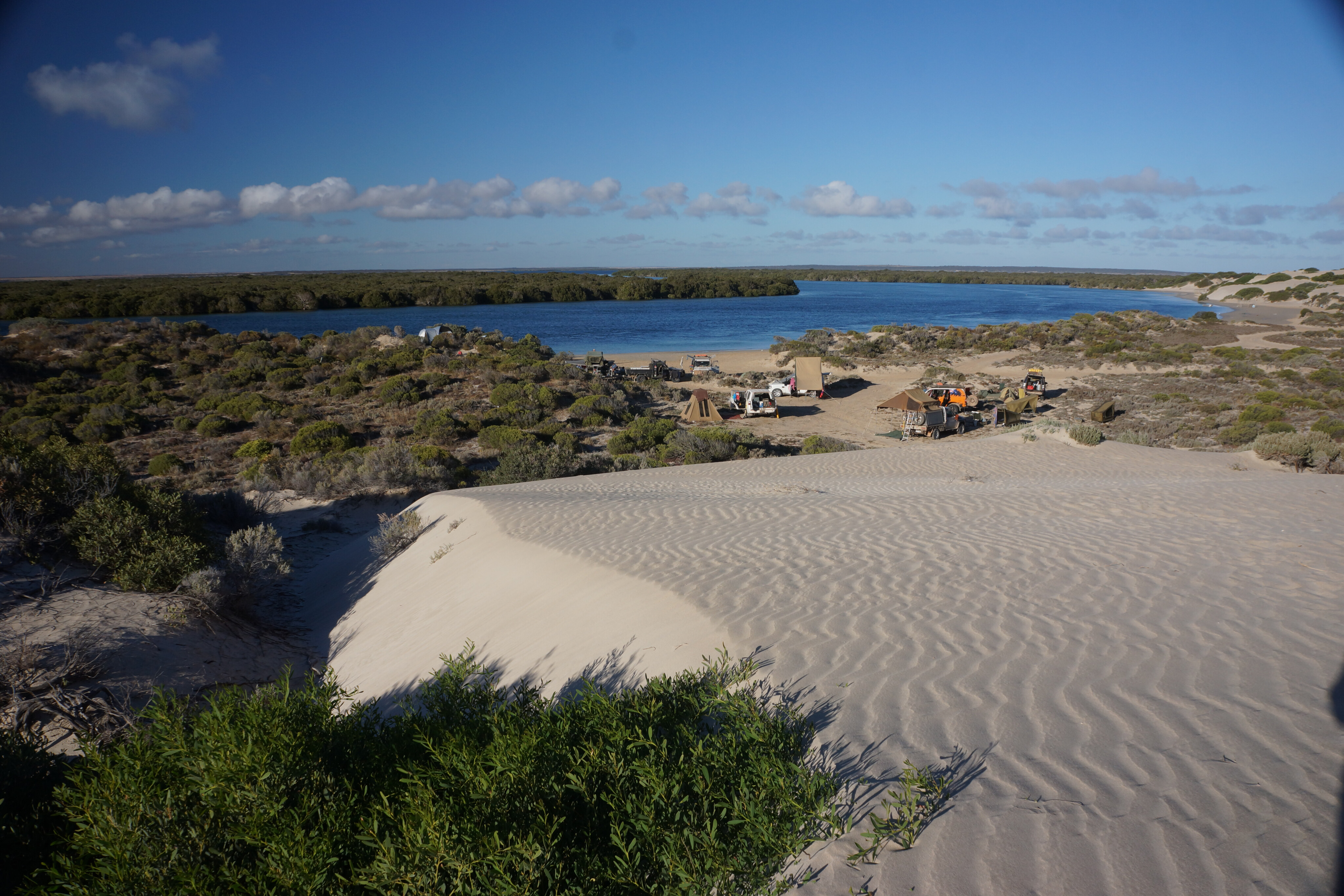
We were in Lincoln National Park, exploring after setting up camp alongside the very protected waters of Surfleet Cove. In all there are a dozen or so camping areas in this popular park, the most remote being Memory Cove, which is only accessible via 4x4.
75
There are just five sites at the well protected cove and you need to book and get a pass and a key to access the area… but it is worth it!
Further west, along the long sweep of sand we were following, Fisheries Bay offered a safe stretch of sand that is ideal for swimming and surf fishing. A council operated bush camping area is nearby which makes a great base just 30km or so from the heart of Port Lincoln.
West of this major city, the ‘capital’ of Eyre Peninsula, is Coffin Bay NP, one of the gems of the west coast. While most people stop in the small village of the same name (the oysters are to die for so it’s worth a stop, whatever you choose to do) for four-wheelers looking for an ideal camp to set up for a few days then head out along Seven Mile Beach (watch the tide) to Morgans Landing or even further afield to The Pool campsites.
There are four and seven unpowered campsites respectively and all within a stone’s throw from the beach, and while there are more camps in the park, these are my favourites.
75
Sheringa and surrounds
Our safari along the west coast of Eyre Peninsula continues as you head north on the highway towards the small settlement of Sheringa and its roadhouse.
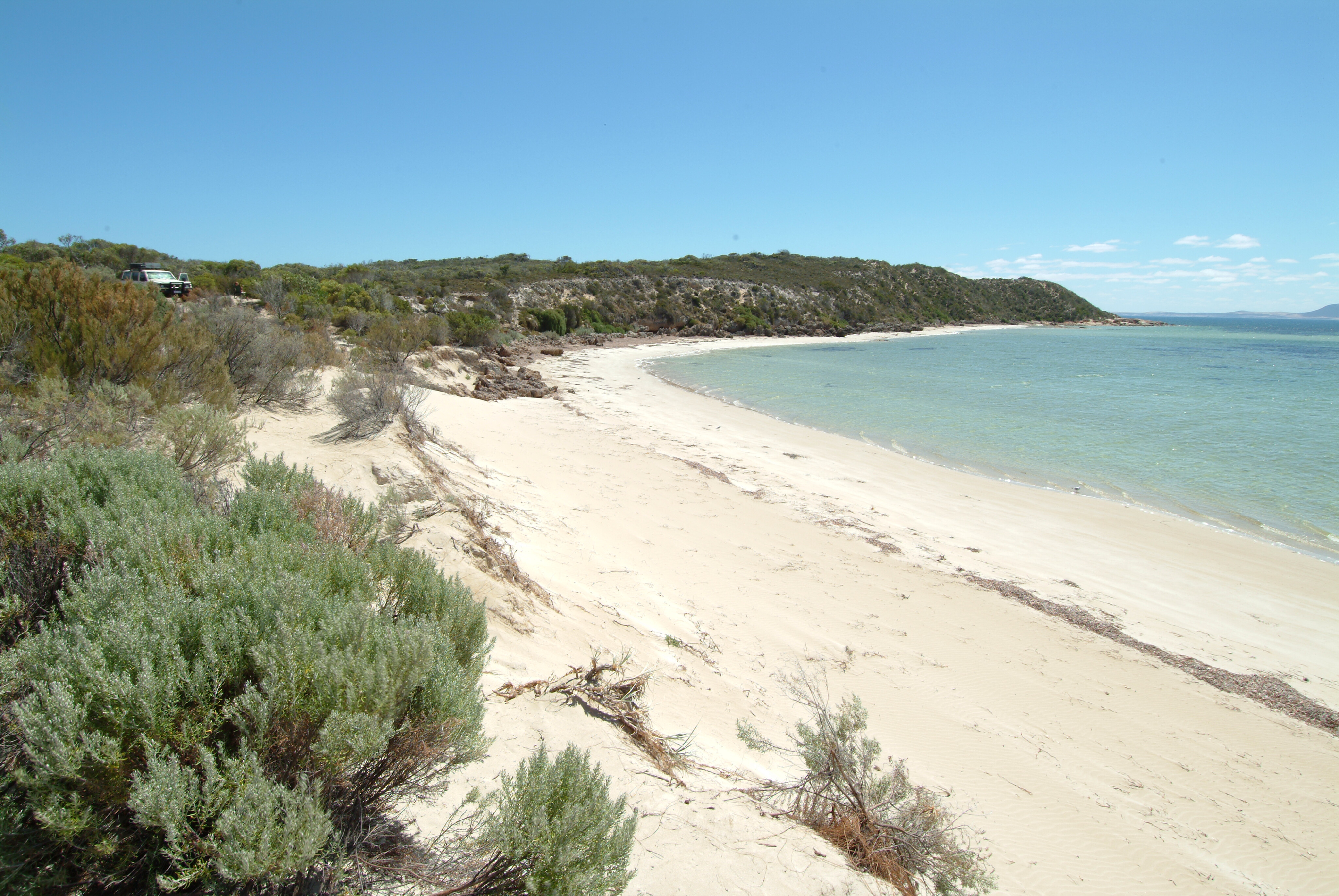
Just on the north side of Coffin Bay, but outside the national park, are a couple of campsites run by the local council. Just a short distance further north, close to Greenly Beach, are a few more council-run bush camps with unpowered sites; many have no facilities at all so you must be completely self-sufficient and be prepared to take your rubbish back out with you.
My favourite campsites along this stretch of coast, however, are a little further north at Point Drummond or at Sheringa Beach. Both places are set along a fabulous stretch of coast and you can easily enjoy a few days at either.
75
Elliston to Streaky Bay
Pushing on to just north of Elliston is one of my favourite camps on the Eyre Peninsula. Known for its clifftop sculptures, great sunsets, fine jetty fishing, surfing, and its many nearby reefs and islands, the town has all the facilities you require including a couple of well-established caravan parks.
Walkers Rock campground can be found just a few kilometres north of Elliston and on the southern edge of Walkers Rock Beach. This bush camp has a toilet block and cold showers and the beach is ideal for swimming and fishing.
The drive along the sands can be a bit hairy though, so you’d better be experienced with the right gear before you venture too far north along what becomes the long sweep of Talia Beach.
75
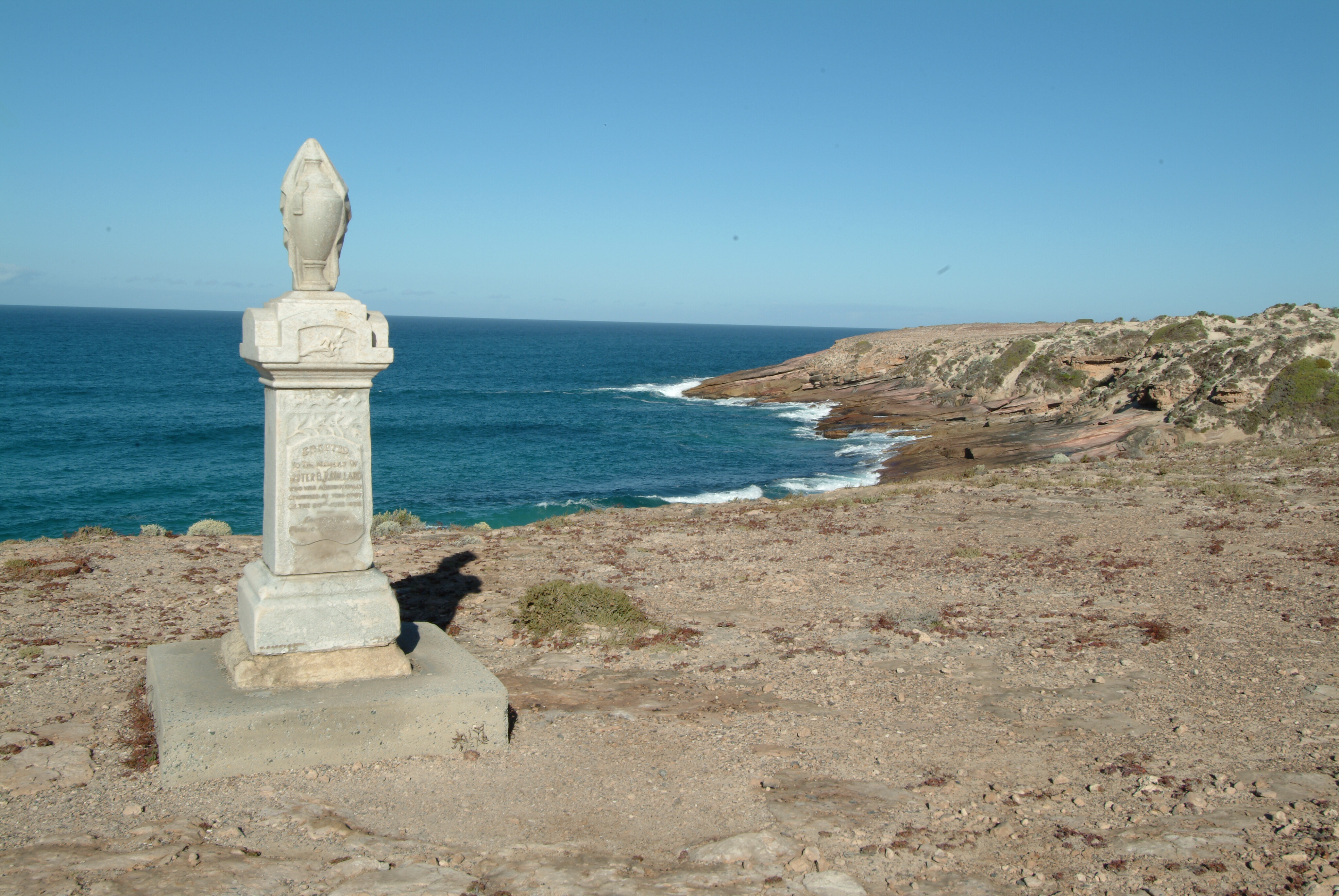
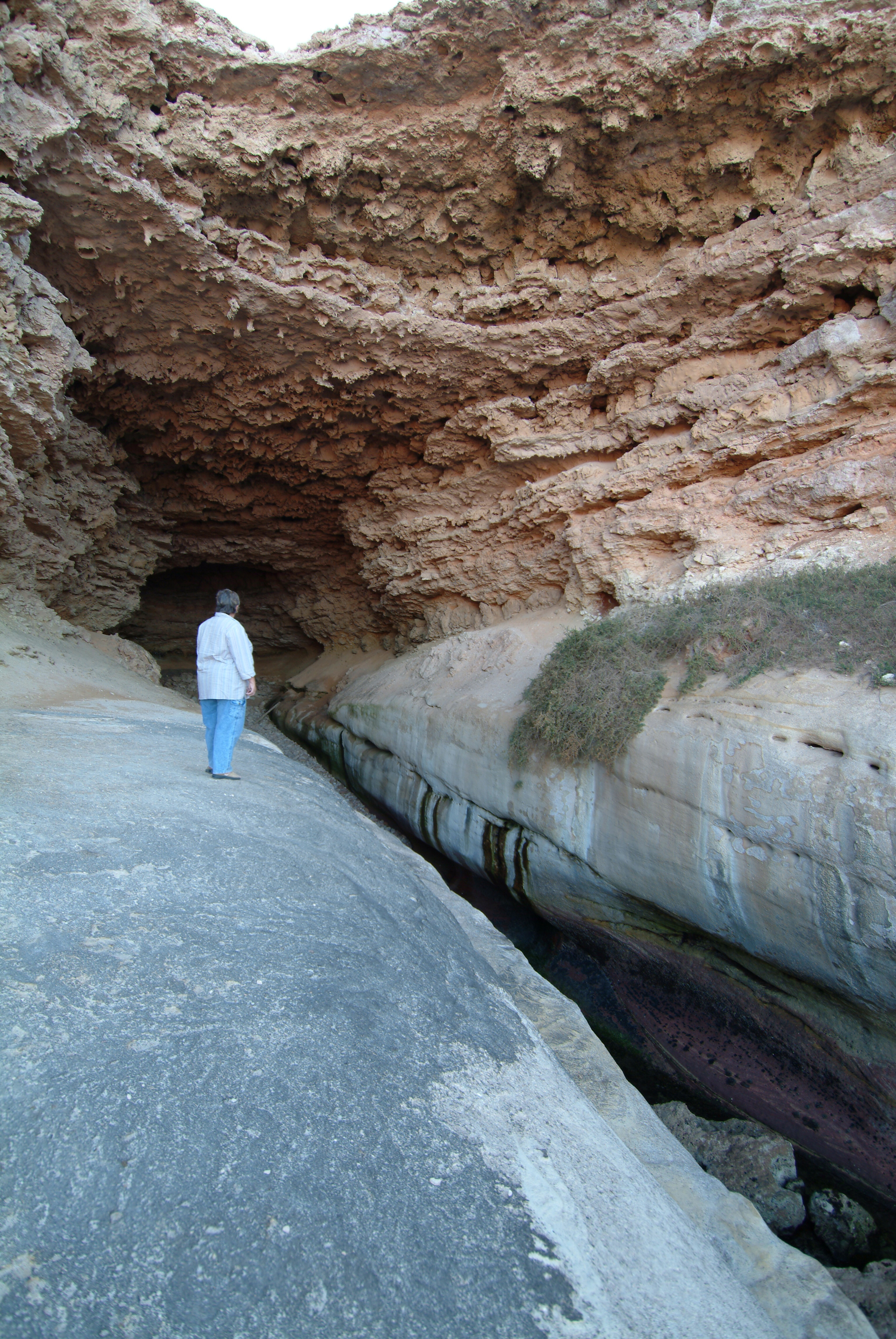
Woolshed Cave and Talia Beach can be accessed a lot more easily at Talia Beach’s northern end via a dirt road about 45km north of Elliston.
There's a lot to explore around here and there’s a small bush-camping spot nearby. The surf can be dangerous though, as a small monument to a nurse who drowned here testifies.
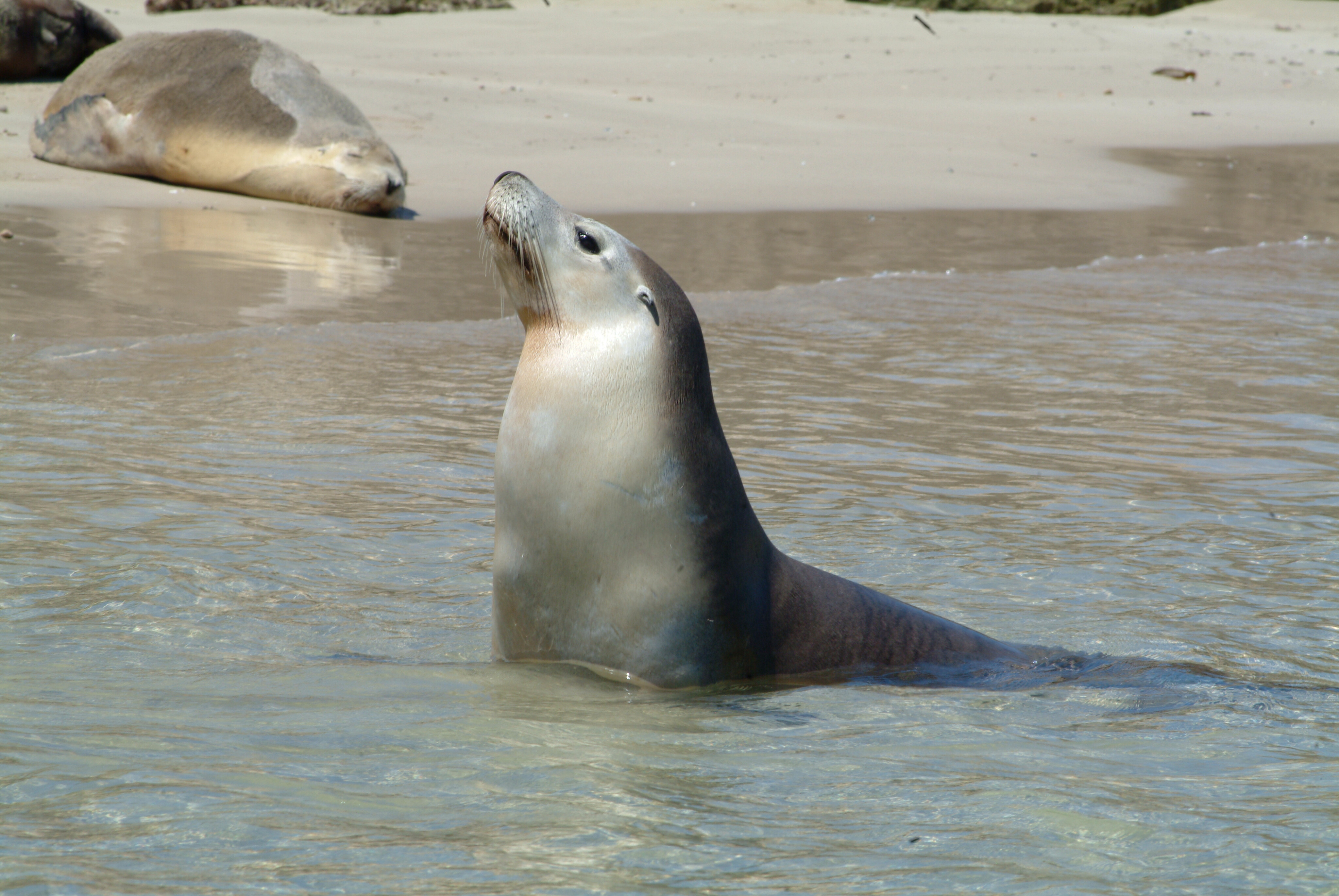
Close to Baird Bay there are a couple of small beachside campsites tucked in along the coast, but if you want to experience the seals and the eco-tour (bairdbay.com) from this small hamlet then the campground right on the water is your best bet. It’s also a popular fishing spot for those with a tinnie.
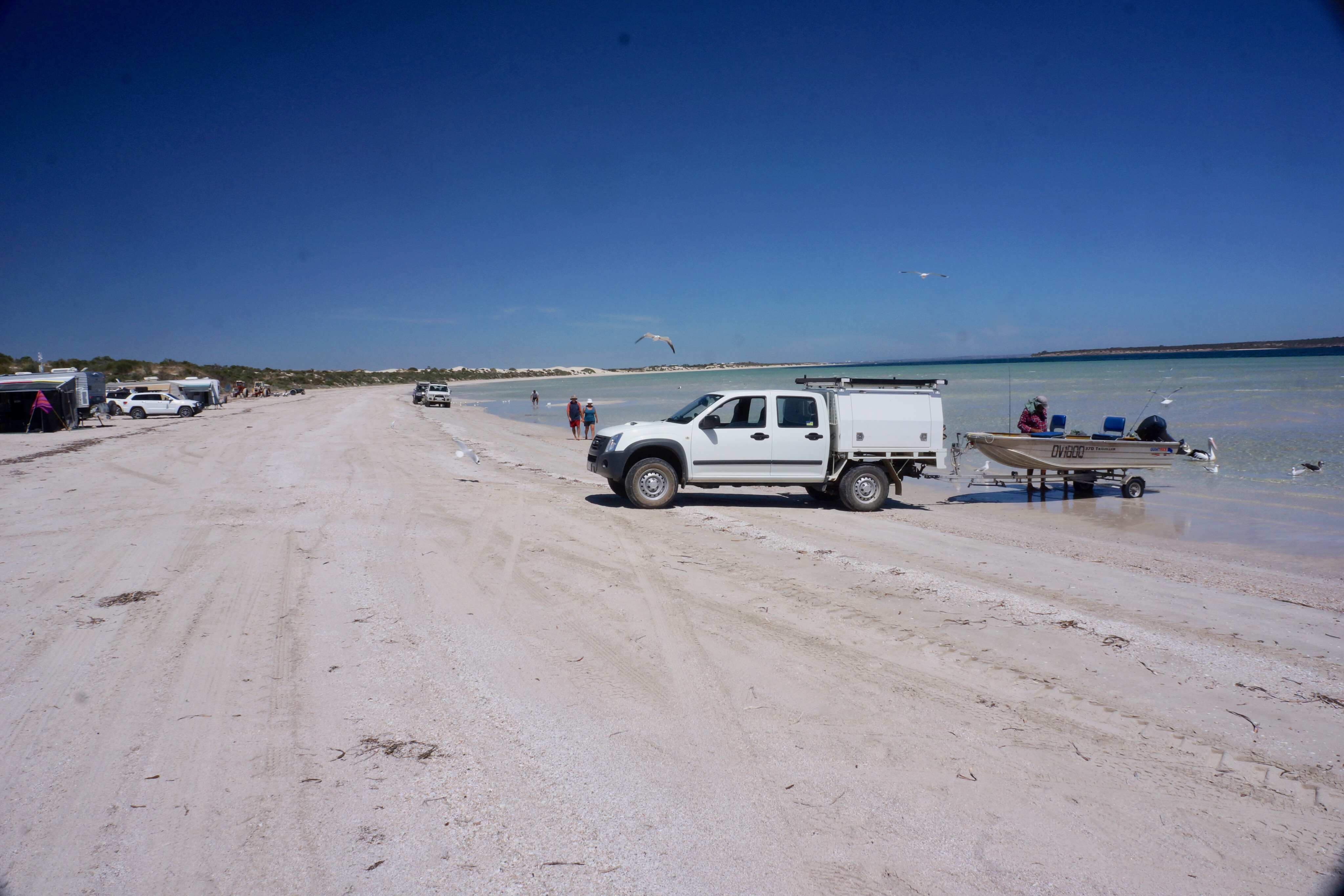
As you dawdle northwards along the coast you’ll soon come to the small village of Sceale Bay where you’ll find the Sceale Bay Bush Camping site not far from the beach. There are basic facilities here… and don’t expect any other facilities in the town apart from a boat ramp, which gives you an idea of what the penultimate activity is here.
75
About halfway along the long sweep of beach that makes up Sceale Bay itself is what is known as Surfers Beach; an access track through the dunes off the Sceale Bay-Streaky Bay road gives access, while a camp spot can be found just to the north on a pan amongst the dunes.
As you get closer to the township of Streaky Bay there are a number of good bush camps but my favourite is near High Cliffs, and is called Tractor Beach. Just back from the beach it’s a small camping area and access can be tricky if you have a big camper or van.
Just north of the town on the sweep of beach around Streaky Bay itself is the Perlubie Beach camp. It’s been loved to death in recent years and the council has restricted the number of campers here, but if you are lucky enough to get a spot along the shores of the bay it is pretty hard to beat.
75
Ceduna
Cruising north on the blacktop you’ll come to the turn-off to the Acraman Creek Conservation Park where you’ll need to engage four-wheel drive to access the best spots to throw down a swag or erect the camper.
You can launch a small boat off the beach or paddle a canoe or SUP in the creek itself.
A little further off the main highway, and further west from the conservation park, is the vastly different and more rugged coastline of Point Brown. This area is one of my favourites along this coast south of Ceduna, and there are several small spots you can pull up and call ‘camp’ for the night… or longer.
75
Easy access to a sandy stretch of beach can be a little difficult though, with the strip of sand at St Mary Bay just north of Point Brown itself being the best and easiest to get to.
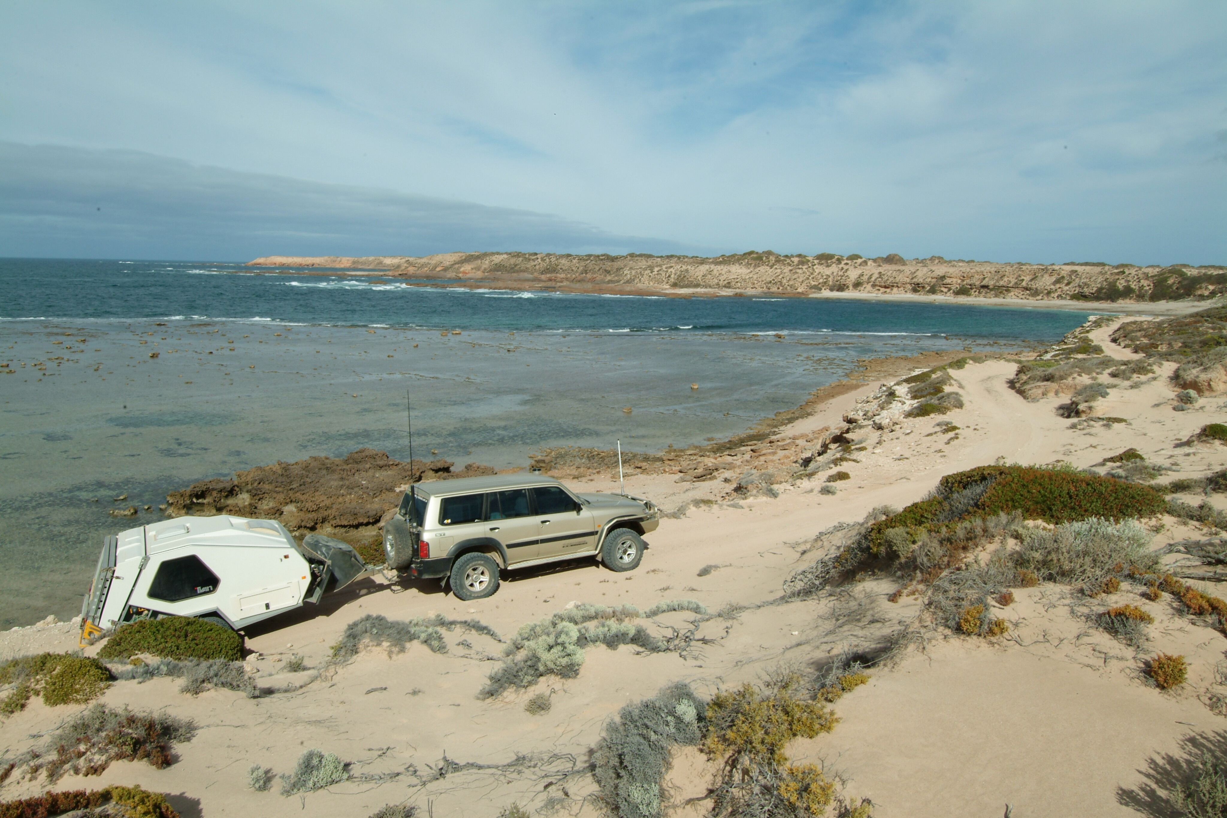
West of Ceduna the camping doesn’t get much better than that provided by the sheltered waters of Davenport Creek. It’s definitely four-wheel drive territory and can be a bit tricky getting into the camp spot. I’d suggest, if you have never been there before, to do a bit of a recce without a camper, boat or small van on the back.
You first need to take the Davenport Creek Road which ends at a small carpark where a track heads through the dunes to the beach. From there you drive the beach a short distance before turning off and winding your way across the low rolling dunes before coming to the edge of Davenport Creek and the campsites just a metre or two from the water’s edge.
75
Pushing along the dirt roads west of Ceduna and south of the Eyre Highway, you’ll find access tracks to Rocky Point and Point Bell, while from the small hamlet of Penong on the highway, a good road heads south to Cactus Beach (a well-known surf mecca) and Point Sinclair.
From that good road, once you are across the salt flats of Lake Macdonnell, at a T-junction you can veer westward and follow fainter tracks through the Chadinga CP where even fainter, sandier tracks lead to the beach.
Just before you get to the holiday shacks at Clare Bay you will come to the lofty prominence of Eyre Bluff, where again there are a few small isolated camps tucked in close to the beach.
75
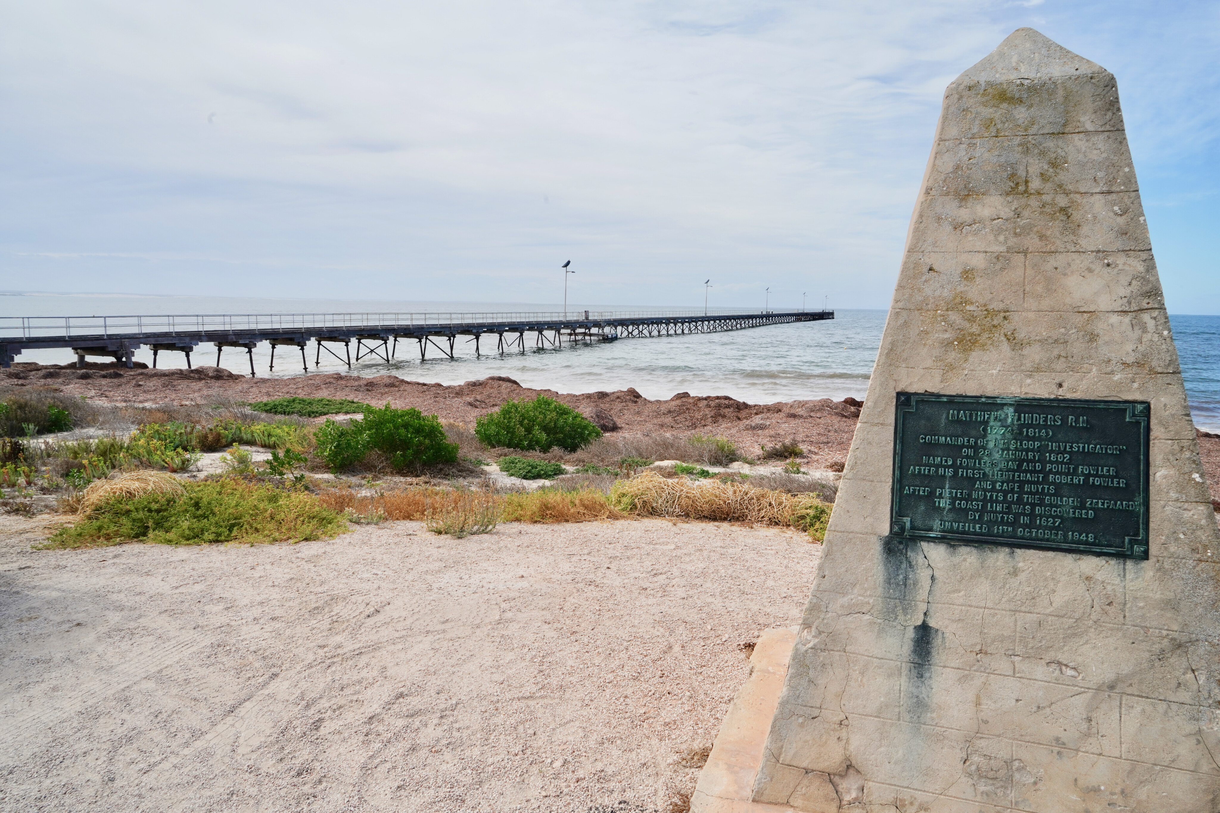
Fowlers Bay and westward
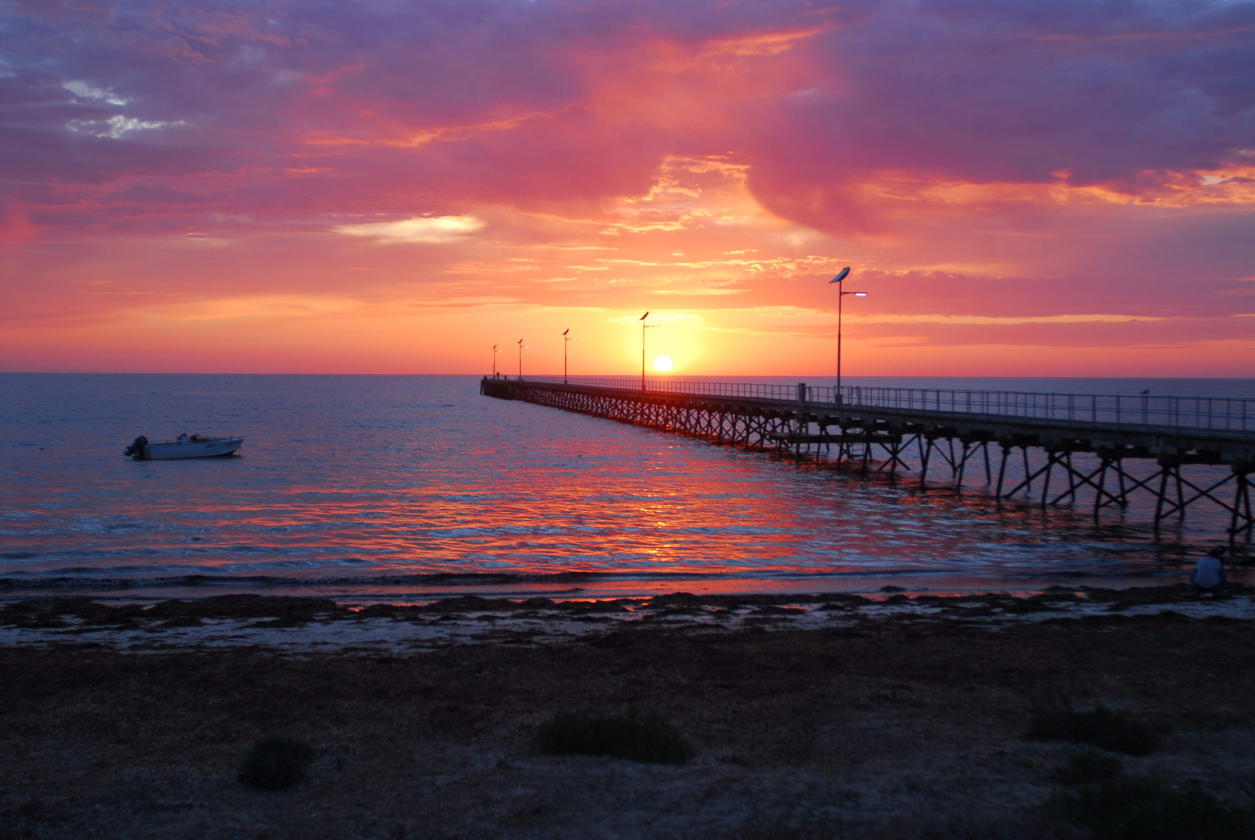
The small village of Fowlers Bay has a caravan park close to the town’s jetty while a small store has basic supplies, but it may not have fuel. It’s a top spot to stay a while.
West of the hamlet is the Fowlers Bay CP, which takes in some great coastline and one of my all-time favourite camps. Mexican Hat features just a couple of campsites right on the short headland that helps protect a small sandy bay, which is even more protected by a rocky isle (Mexican Hat) and a reef that runs across the front of the small bay. If you manage to grab this site consider yourself lucky… and in heaven,
Another good camping spot is on the western edge of Scott Bay, not all that far east of Mexican Hat. If you are experienced you can drive the beach around Scott Bay and then cut over the dunes to the camping area.
75
This stretch of spectacular coast is some of the most remote in South Australia and makes for some fabulous camping and four-wheel driving
Or you can continue along the beach and then across the narrow peninsula and onto the beach south of the Fowlers Bay township. Having said that, I’ve seen four vehicles all bogged along the sand of Scott Bay, all within 150m of each other; there was feverish activity to extract each and every one before the tide claimed them.
A series of tracks, some rocky but mostly sandy, wander westward from Mexican Hat in a somewhat confusing manner to places such as Wandilla Bay, Cheetima Beach, Cape Adieu and onwards to Dog Fence Beach in the Wahgunyah CP.
This stretch of spectacular coast is some of the most remote in South Australia and makes for some fabulous camping and four-wheel driving, while the fishing is some of the best in the country.
West of the Wahgunyah CP is the Yalata Aboriginal Lands, which takes in the Head of the Great Australian Bight. You can book any one of the 15 campsites that are spread along this 55km of pristine coastline, the camps being located a 100m or so back from the beach, while ATV/vehicle access to the beach from the camps is allowed.
75
These campsites are extremely popular over the early summer months when big mulloway frequent the sand gutters just off the beach, offering some of the best beach fishing anywhere in Australia.
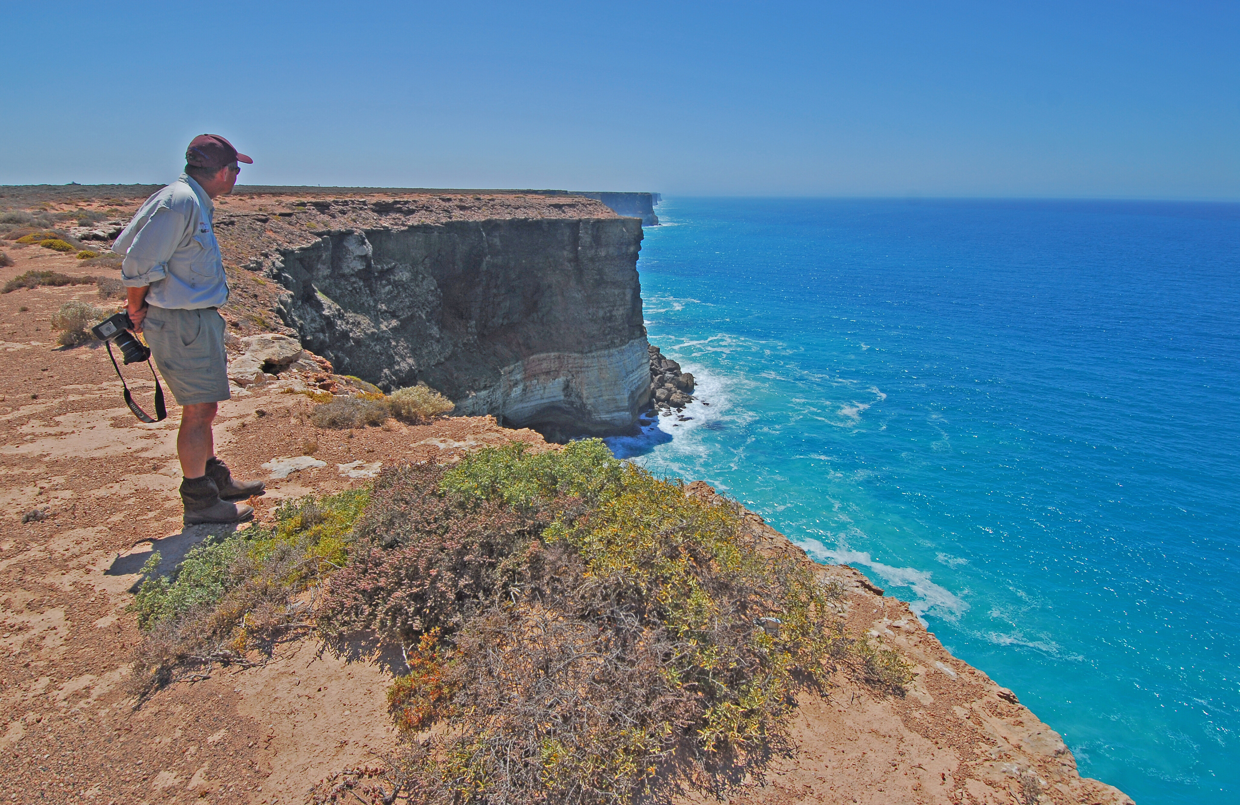
From here the spectacular sheer cliffs of the Great Australian Bight dominate the coastline and south of Nullarbor Roadhouse the Bunda Cliffs offer one of the most unique campsites in Australia – just don’t expect to get to the water from here!
Our safari along the west coast of SA has come to an end… but you can always turn around and do it again, and I’ll guarantee you’ll find more iconic spots to camp and great tracks and beaches to drive on your return journey.
Top 5 Must-dos
- Wanna-Sleaford drive
- Seven Mile Beach to The Pool campsite
- Baird Bay and its seals
- Oysters at Coffin Bay or Ceduna
- Davenport Creek camp
Travel Planner
For national parks on Eyre Peninsula see: www.parks.sa.gov.au/ [↗]
For council bush camps in lower Eyre Peninsula visit: www.eyrepeninsula.com/camping [↗]
For council camps around Streaky Bay see: StreakyBay.com.au [↗]
For camping on the Yalata lands visit: Yalata.com.au [↗]
For more info on the marine parks along the west coast see: Environment SA [↗].
Please enable JavaScript to view the comments powered by Disqus.
COMMENTS