Explore WA
Gallery55
Imagine a destination that covers more than 17,000,000ha and is made up of ancient landscapes, an idyllic coastline, heritage-listed sites, some of the oldest rock art on earth and, importantly, contains great four-wheel-driving opportunities.
The Pilbara region of Western Australia dates back 4.3 billion years and is twice the size of the UK. It is regarded as the oldest place on earth and has deep red rock formations so ancient that it predates fossil remains. It is thought Pilbara is the Aboriginal name for a mullet that’s found in a creek off the Yule River.
55
As the area is so vast, I wasn’t sure how to tackle it, and really wasn’t expecting to see as much as I did.
I spent a few days in the southern part of the Pilbara exploring Millstream Chichester NP and across to the mining area near Pannawonica, and then back to Onslow to explore the coast. Nicknamed ‘Cyclone City’, Onslow has been subjected to more than a dozen cyclones in which wind speeds have been measured as high as 232km/h.
Originally built for pearling, mining and pastoral use, Onslow is a sleepy town that attracts tourists year 'round. Officially, Europeans travelled through here in 1861 when an expedition was led through the Pilbara, but prior to that Abel Tasman visited the islands off Onslow in 1644.
Onslow is an interesting town with a heritage trail and free riverside camping at Five Mile Pool. As well as a visit to the old Onslow town ruins, make sure you check out the huge salt lakes that cover 90km², and from which 2.5 million tonnes of table salt is produced every year.
55
Exploring the coast
Head north and you’ll arrive at the fast-growing city of Karratha, which is not only the base for the Pilbara’s massive iron ore operations but also the gateway to the rich Dampier Archipelago.
Established in 1968, Karratha is a busy city that is home to 40 per cent of the region’s population. Built to provide accommodation and services for the massive mining operations, Dampier Salt and the NW gas and oil projects, Karratha has a lot to offer. The Yaburara Heritage Trail to the east follows steep hills, passes a number of Aboriginal sites and overlooks the town and out to the coast.
55
Another must-do is a visit to the North West Shelf Project Visitors Centre, where you can see models of the operation and view the giant domes that hold natural gas before it is shipped overseas.
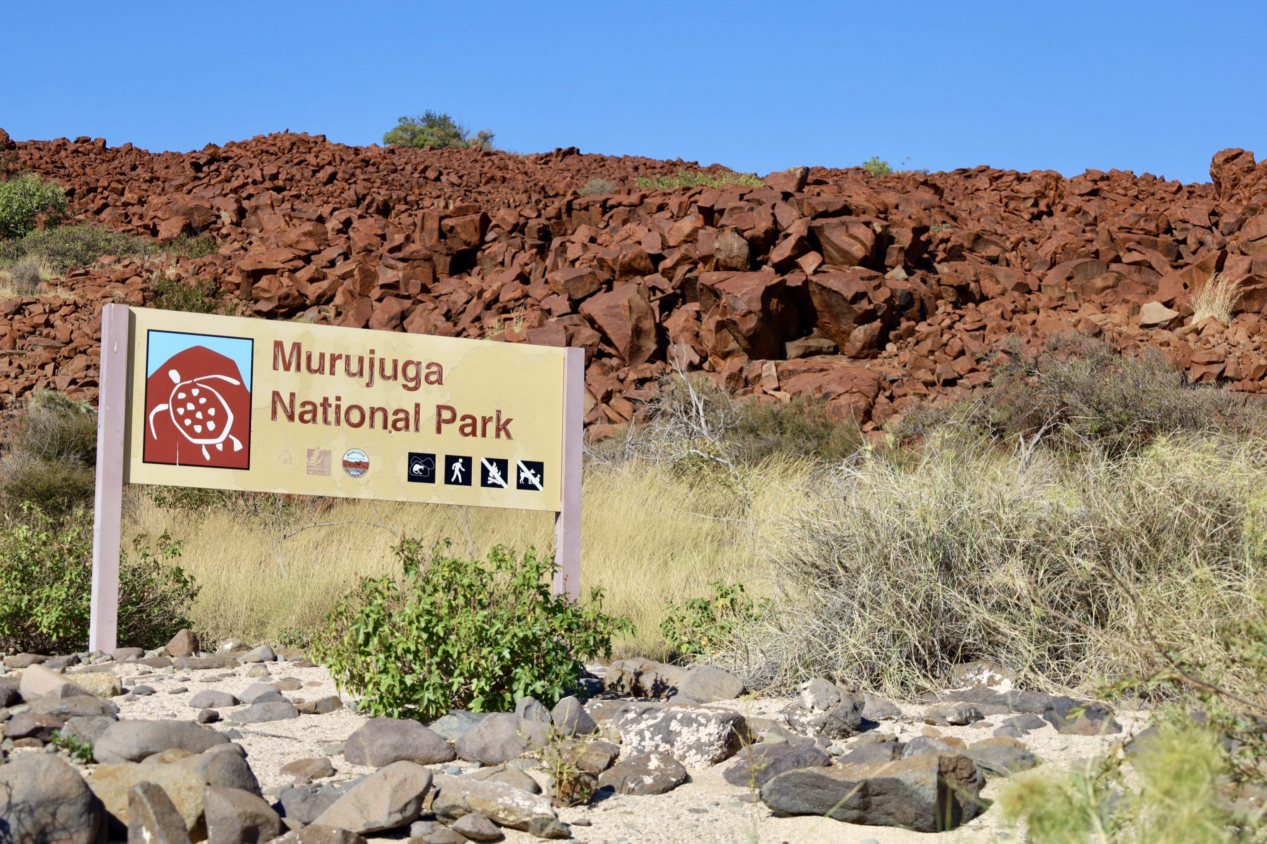
Not far down the road at Burrup Peninsula you’ll be able to study up to an estimated 10,000 indigenous rock engravings that are said to be 30,000 years old. These petroglyphs include animals and human shapes, as well as some extinct animals that once roamed the area. Notably, these are claimed to be the oldest and largest concentrated collection of petroglyphs on earth.
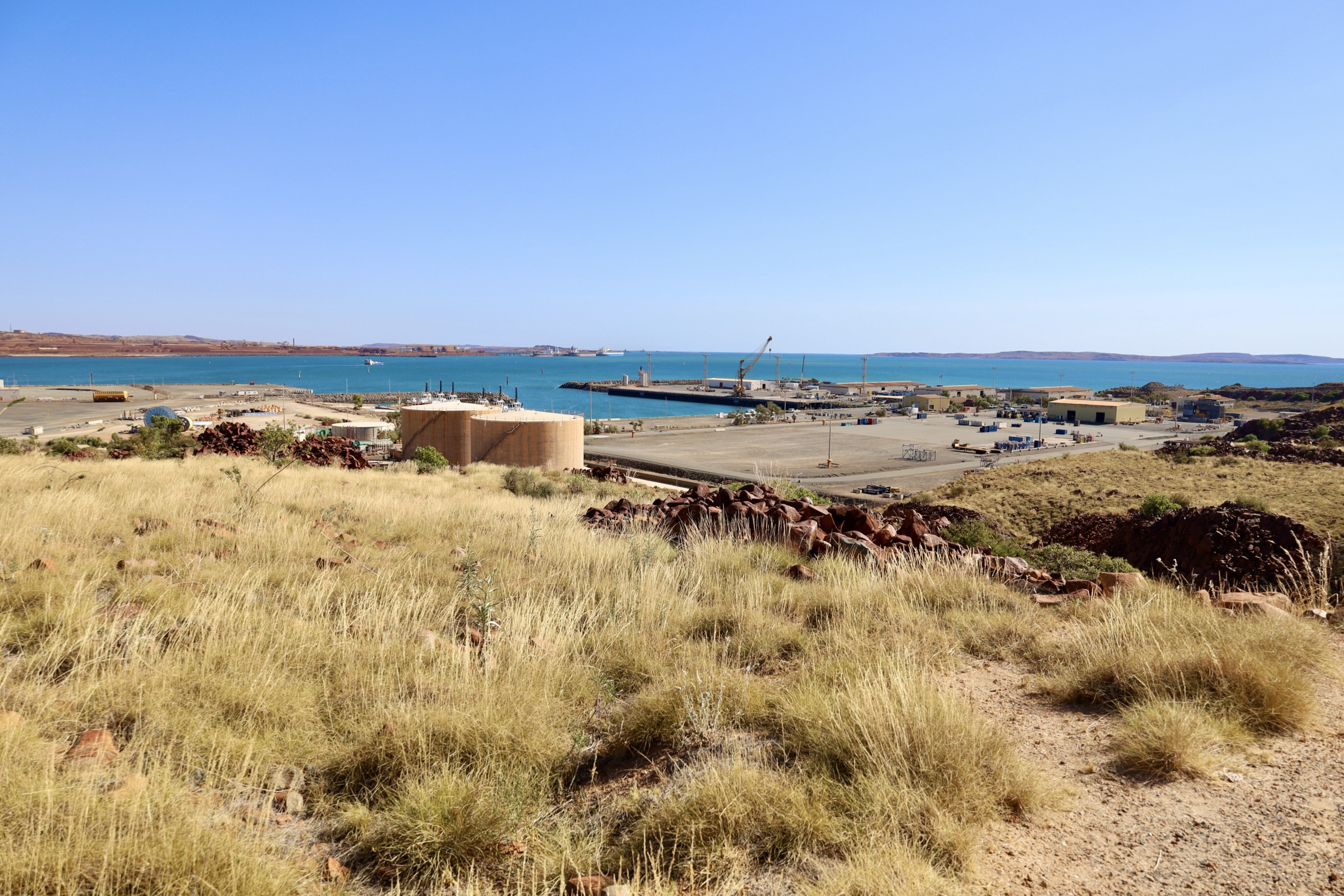
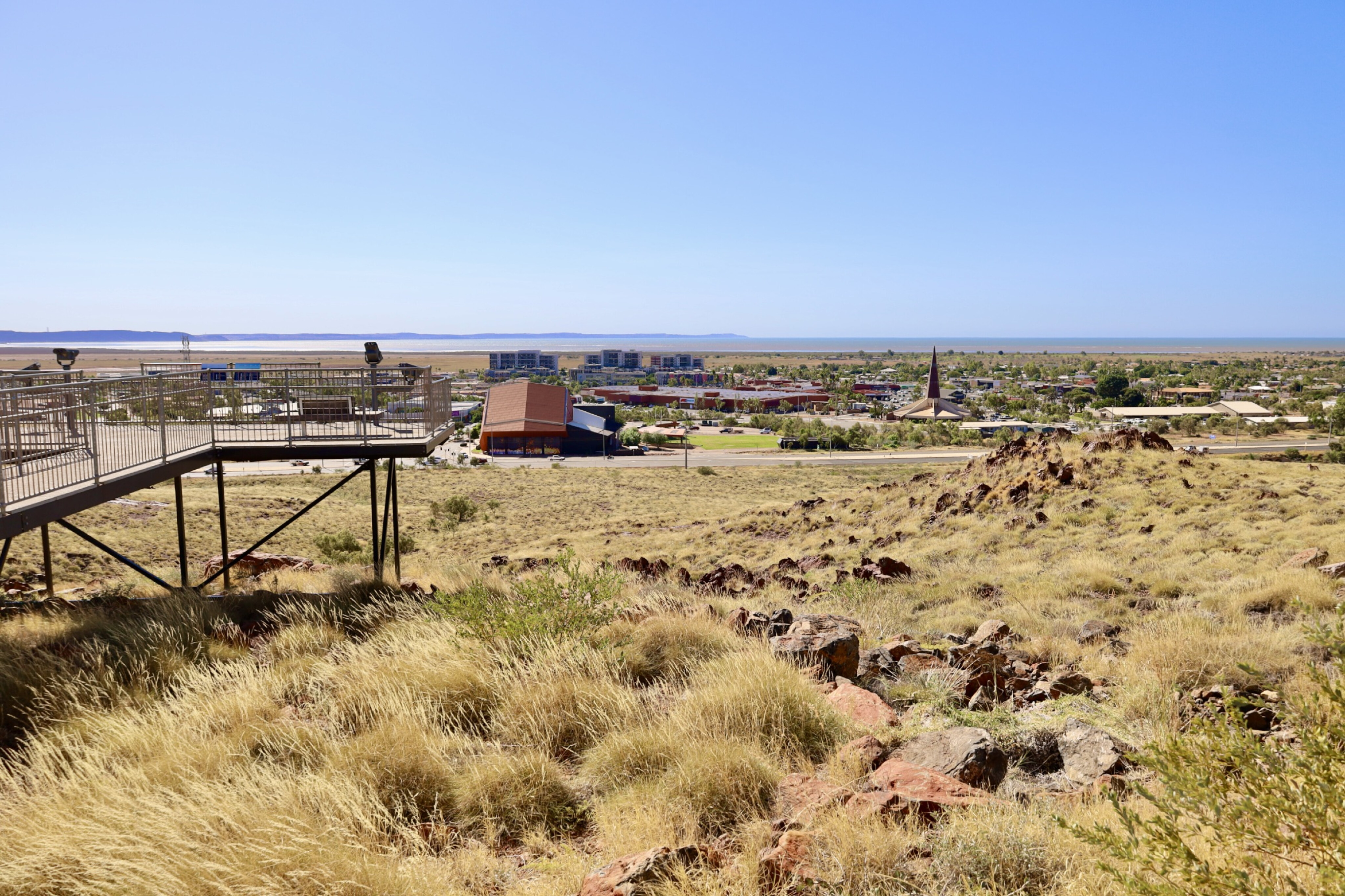
There’s also plenty to see and do nearby at Dampier, where you can not only overlook the huge port that has been constructed to cater to the mining activities in the area, but also head to a lookout that provides a spectacular view of the 3km-long trains that cart ore from the mines to the port.
55
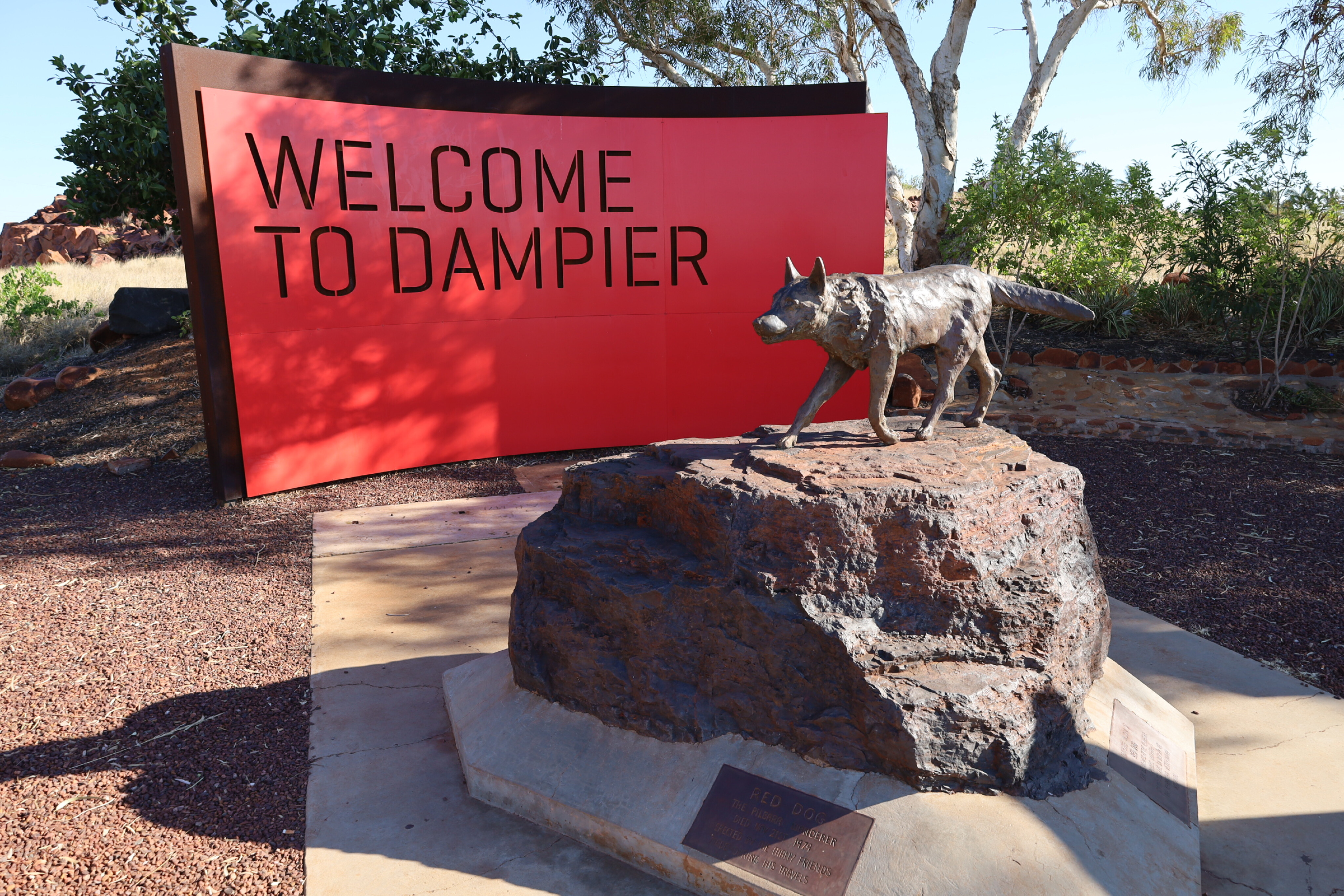
Make sure you visit the Red Dog statue, made famous by the movie of the same name that tells the story of a dog that roamed across the Pilbara region.
For those who like to cast a line, the offshore fishing here is next-level, and there are dozens of islands lined with stunning white beaches all throughout the Dampier Archipelago. Not far north of Dampier are the towns of Roebourne, Cossack and Point Samson. Cossack was once the original port for the pearl luggers before they moved north to Broome, and with this the town slowly died.
55
Today the beautiful old buildings are being restored for the growing tourism trade and the history buffs that visit the area.
Roebourne, the oldest settlement in WA’s north-west, has a fascinating heritage trail to explore and was once the most important town in the Pilbara … before a rail line was built to Port Headland. Head out to Point Samson for a wander along the stunning white beaches and spot the lighthouse that was built here in 1888.
55
Heading inland
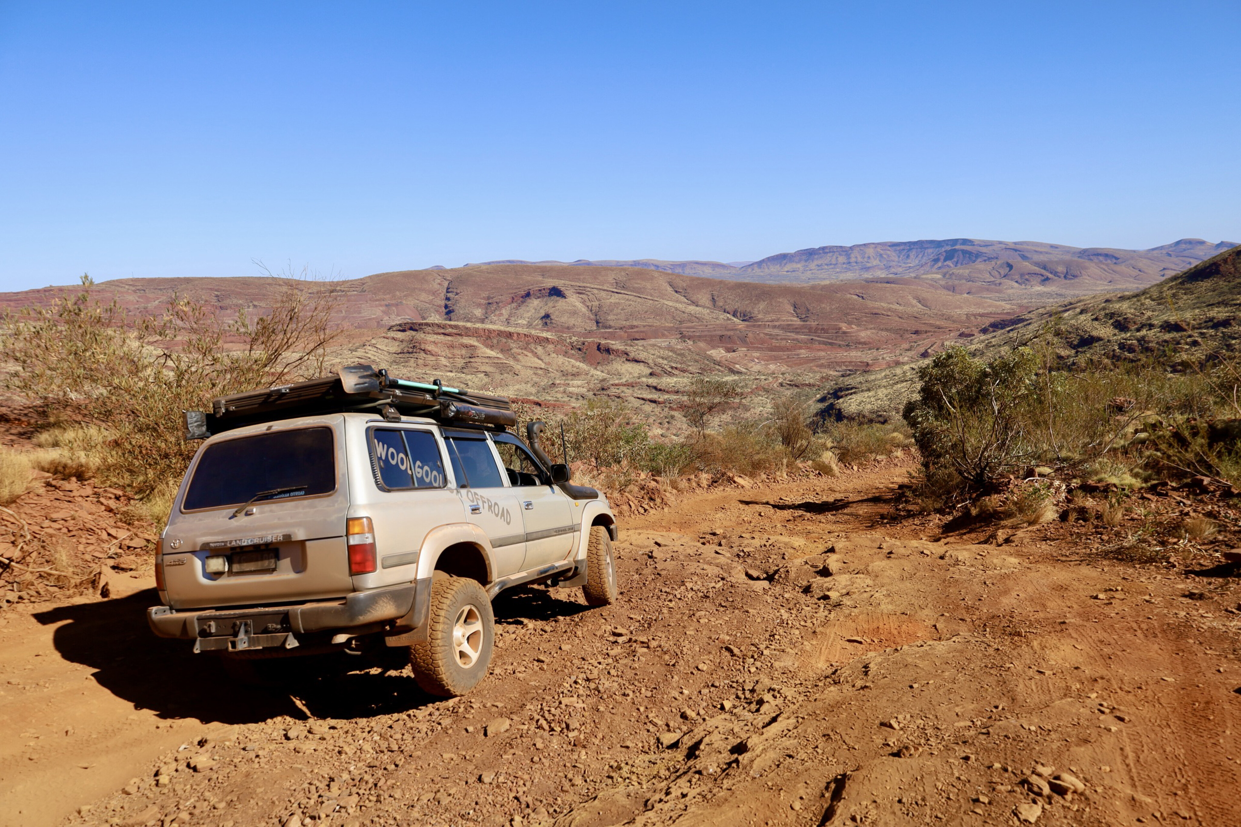
As soon as you head inland, the Pilbara’s red dust gets into your skin, your clothes and every nook and cranny of your 4x4.
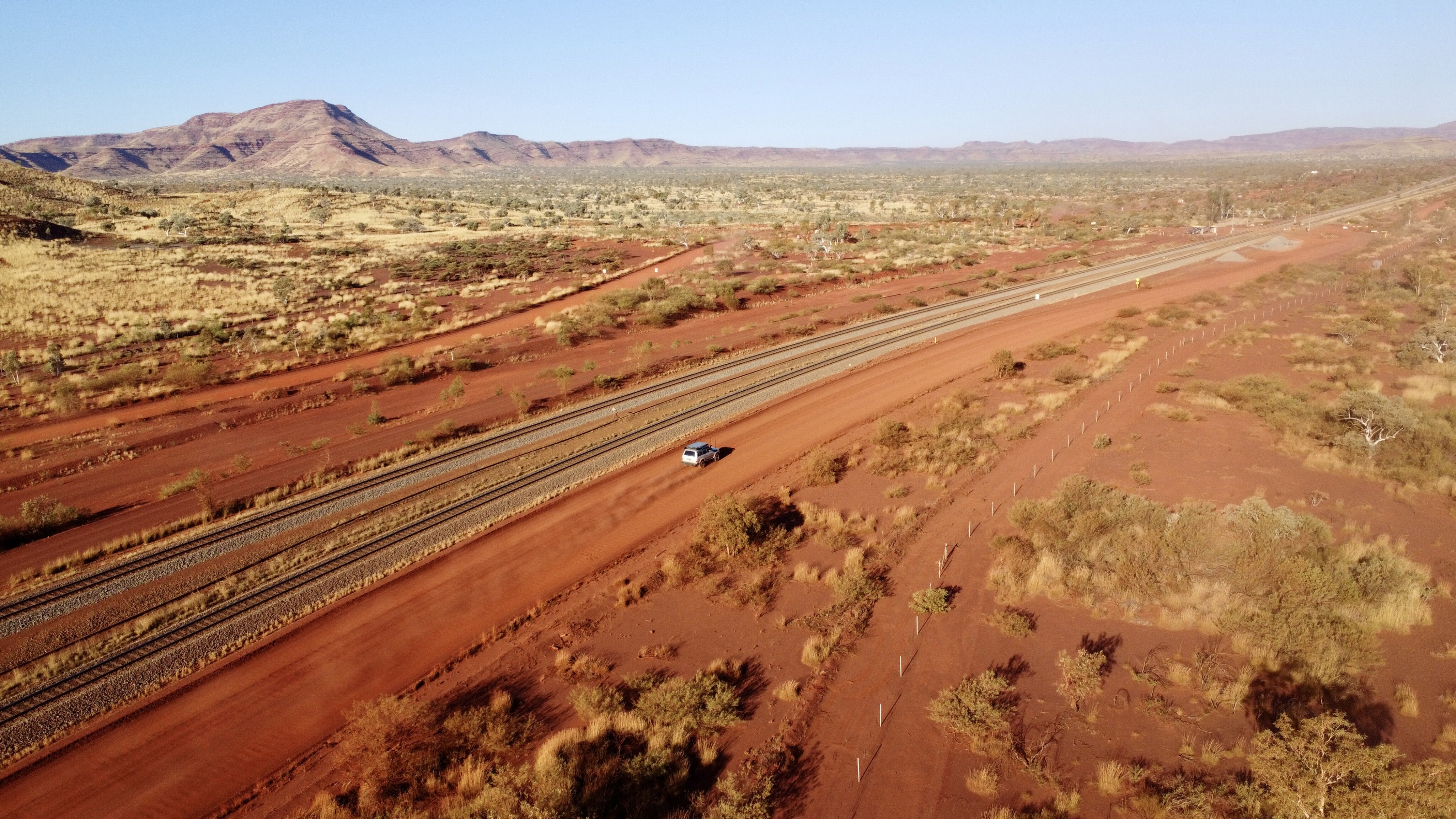
A highlight of travelling through the Pilbara is driving along one of the many rail-access roads and seeing the enormous 3km-long iron ore trains that run 24/7 from the mines to the facility plants at either Port Headland or Dampier. You need a permit to drive these roads, but they are easily available online after watching an induction video and answering some safety questions.
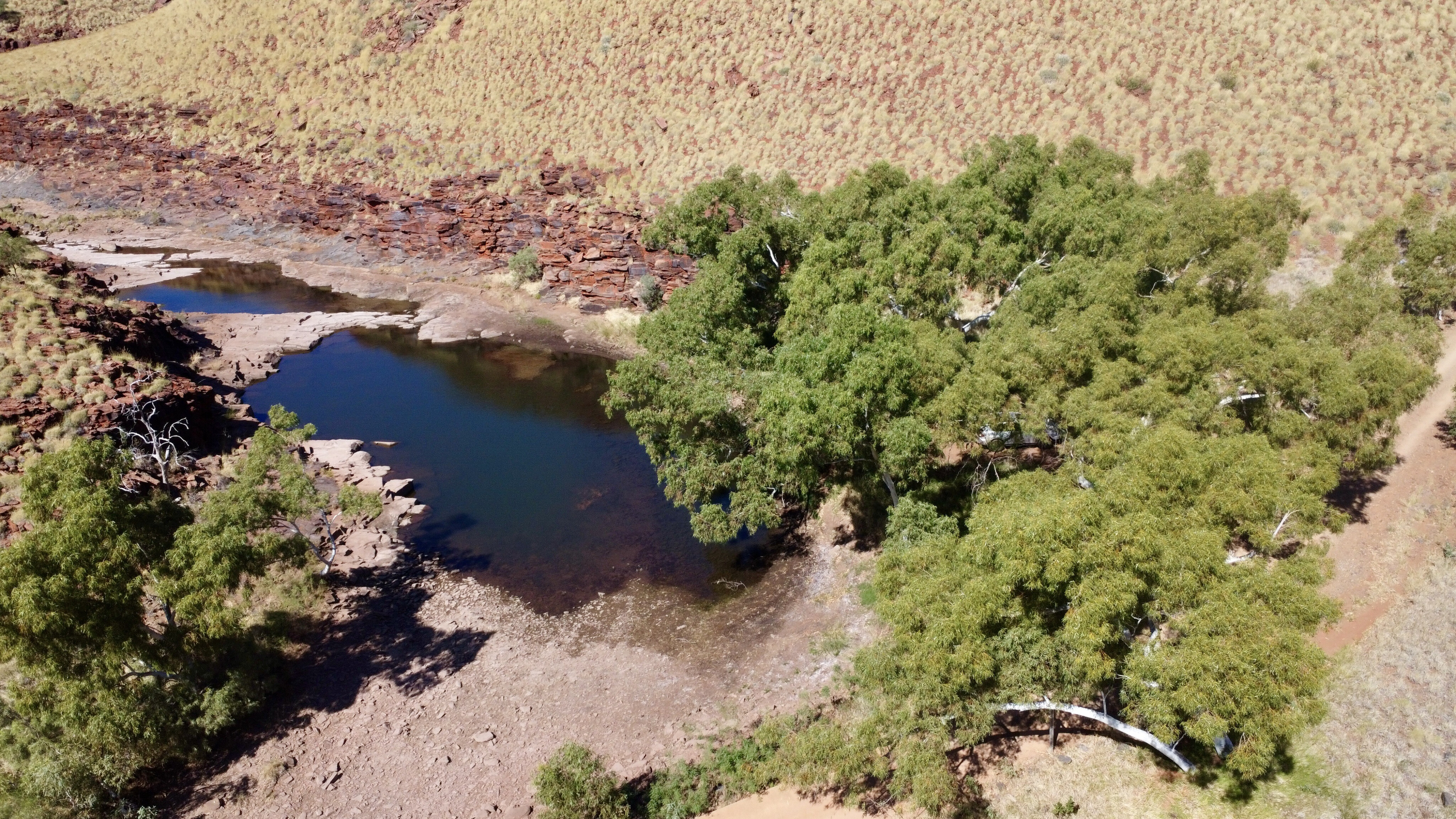
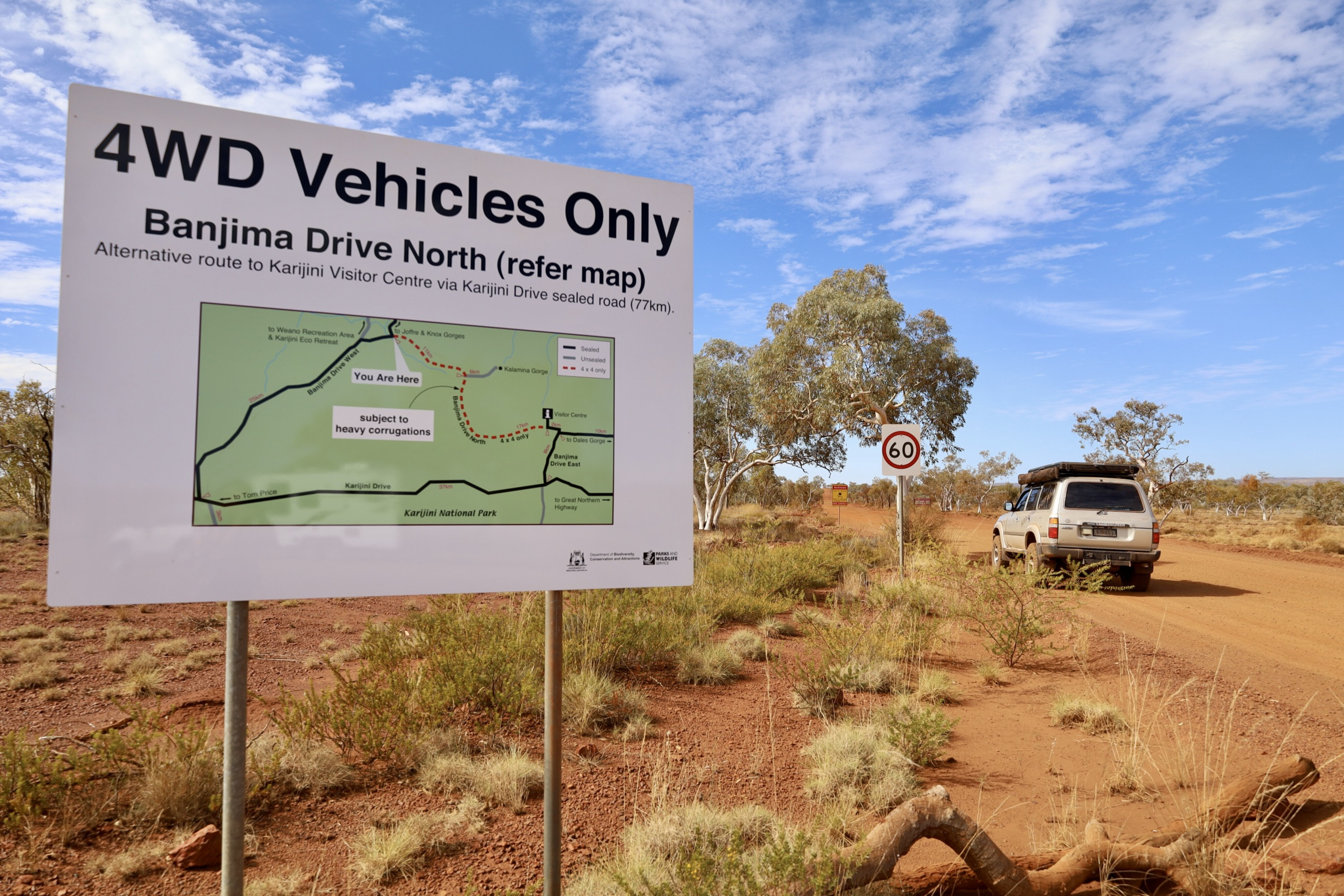
Two notable and popular national parks in the area are Millstream Chichester NP and Karijini NP. In the former you can relax beside tree-lined pools, swim in crystal clear rivers and camp in remote areas. In the heart of the park you’ll find a homestead that was built in 1920 and is open to visitors to discover the pastoral history of the region and learn about the Yindjibarndi people.
55
The latter, Karijini NP, is the second largest national park in WA and attracts visitors from around the world.
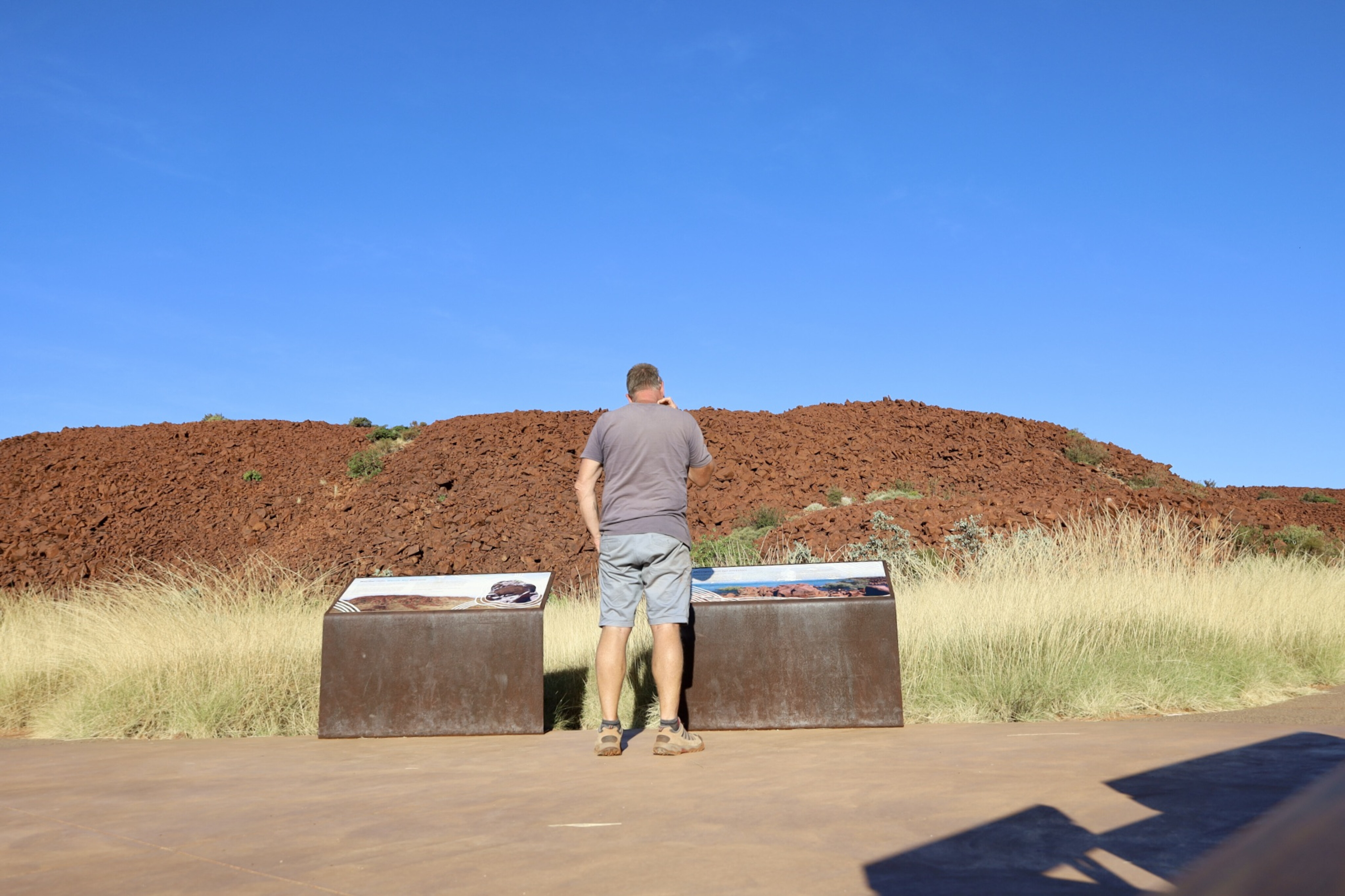
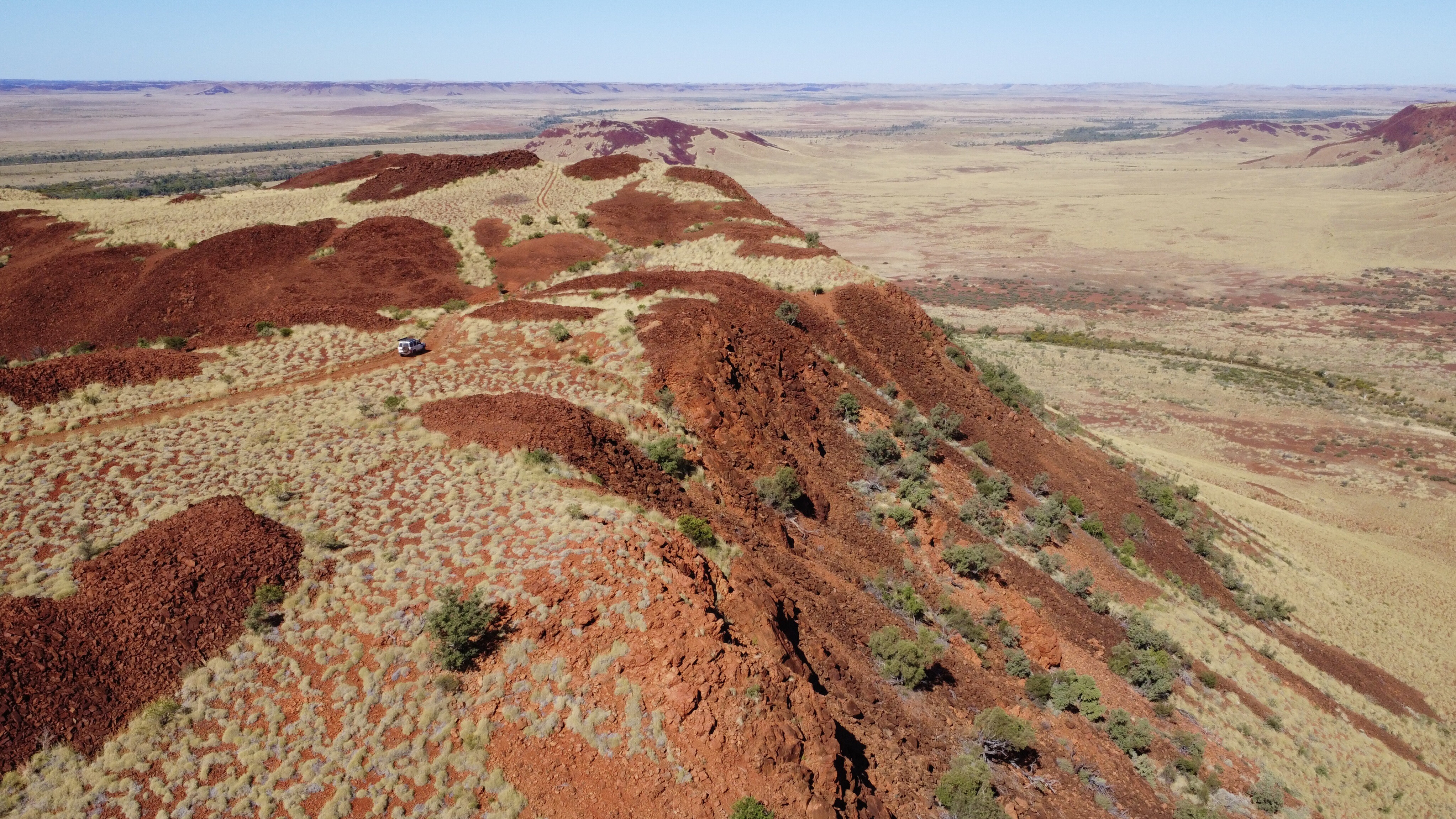
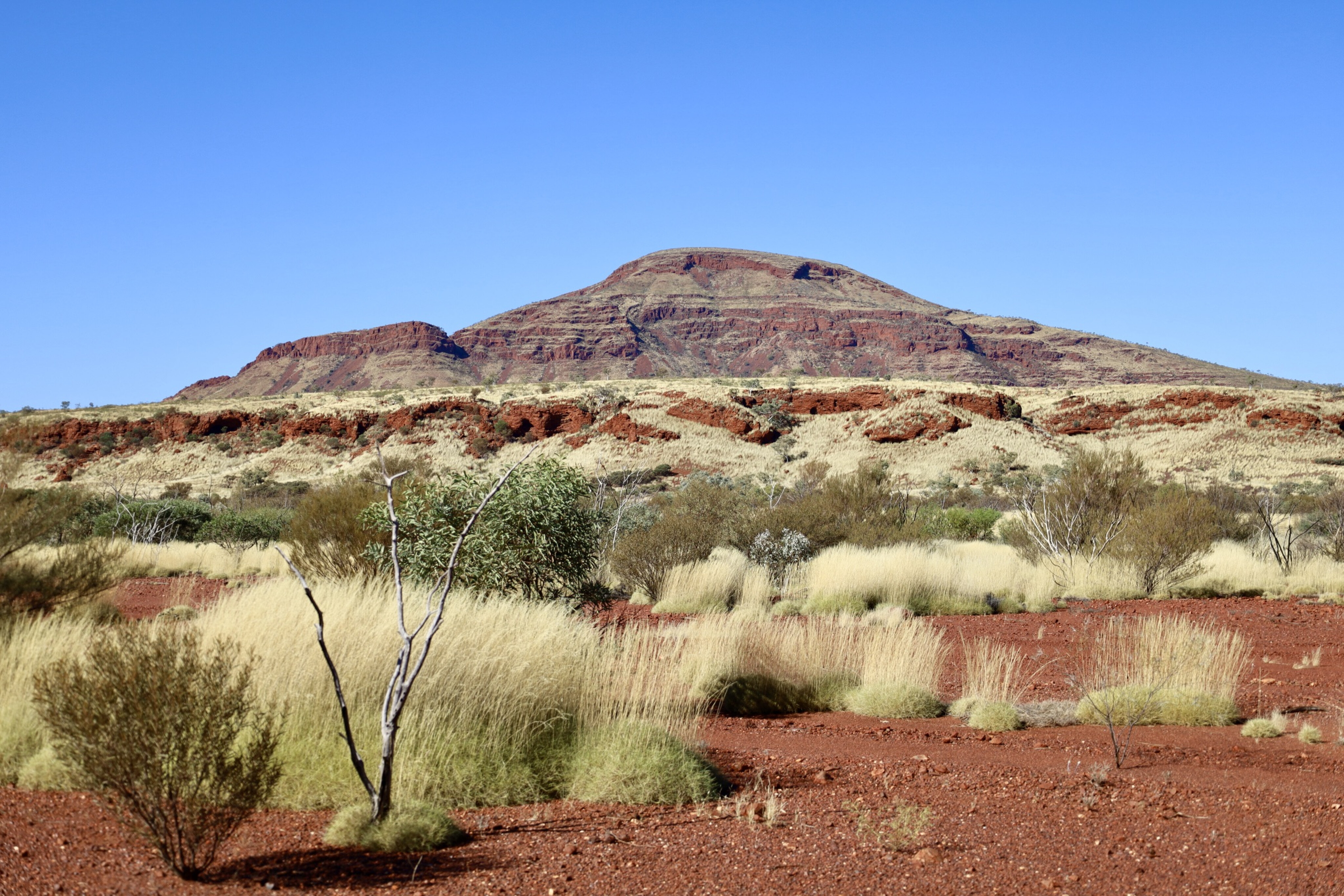
In it you will find amazing rock formations with pools of cold water that never see sunlight, dramatic waterfalls and amazing colours when the sun hits spectacular gorge walls. Nearby is Tom Price, WA’s highest altitude town, which is tucked in beside the Hamersley Range. The range itself is considered to be one of the earth’s oldest weathered surfaces, and this area dates back to the ice age. Activities in the area include mine tours and a drive up the 4x4 track to Mount Nameless, which is one of the highest mountains in WA.
55
From the top you’ll enjoy views overlooking the area’s mining operations, the town itself and the beautiful Pilbara landscape to the horizon in all directions.
Nearly 300km away to the east, and again on the fringe of the Hamersley Range, is the town of Newman, the largest inland town in the Pilbara. Predominantly a mining town, where BHP pulls thousands of tonnes of iron ore out of the ground every day, it’s still a good base from which to explore the surrounding area.
Mt Whaleback is the largest open-cut mine in the world – it’s so big that it can be seen from space – and there are daily tours into the heart of the operations.
55
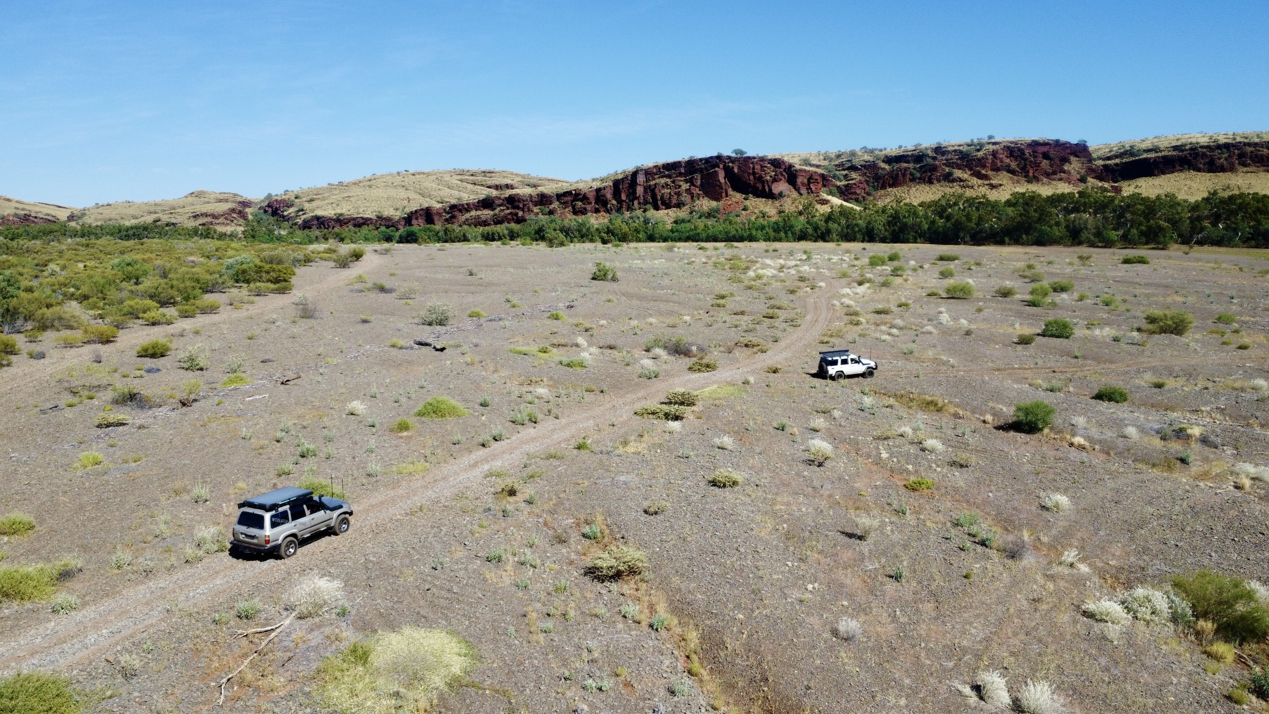
Away from the mines, the 4x4 track to Eagle Rock Falls is a great drive as the narrow winding track heads into the hills of the Pilbara, passing Kalgan Pool where volcanic rock has been pushed out of the ground millions of years ago, resulting in an amazing backdrop to the pool.
Just over an hour away the tiny township of Nullagine sits idle, surrounded by red granite hills, gorges and waterholes. Gold was found here in the mid-1880s, but it’s also known for being the first place in Australia where diamonds were found. Heading west from Nullagine, the Skull Springs Road takes you to the remote yet stunning Running Waters waterhole where warm water seeps out of the ground year 'round.
55
Up the road, Carawine Gorge offers one of the best riverside camp areas I found in the Pilbara, where a massive water system is lined with sheer rock walls that are lit up by the morning sun.
My last stop was at Marble Bar, known as Australia’s hottest town, where back in 1924 the daytime temperatures never dropped below 38°C (100°F) for 161 days. Today it’s a quiet town compared to the gold rush of 1891, which was short-lived as richer fields were soon found at Kalgoorlie.
55
The Marble Bar Heritage Trail takes you around town, visiting 18 places of interest, heading up to lookouts and dropping by the Marble Bar Pool at Coongan River.
It was here that a rich-coloured rock was found that was thought to be marble, but disappointingly was jasper. When wet, the colours come alive in the Archaean rock, which has been classed as some of the oldest in the world. Big fines are issued if rocks are stolen.
I only spent four weeks exploring the Pilbara and I don’t think I even scratched the surface. This area feels like the soul of the earth and it holds many hidden treasures, and no matter where you roam you’ll be pleasantly surprised with what the Pilbara has to offer.
Essentials
Where
The Pilbara region is 1500km north of Perth in Western Australia. It covers a huge 17,000,000ha and the landforms date back 3.6 billion years. It is known for the biodiversity across its ancient landscape. It is extremely rich in mineral deposits. There are major airports at Karratha and Port Headland, with direct flights from across the country that make exploring this area easy.
What to see and do
The deep red landscape and iridescent skies make the Pilbara a photographer’s dream. There are National Parks to explore, stunning waterfalls and swimming holes to cool off in, beautiful coastal campsites to enjoy and plenty of history and ancient rock art to absorb.
Other information
Both Port Headland and Karratha are the main centres of the Pilbara, and both towns service the mining companies that operate in the area. There are major shopping centres and most services are available. Smaller towns such as Tom Price, Newman, Roebourne, Dampier and Onslow have basic services for travellers. Information centres in most towns can offer advice and steer you in the right direction for tours and attractions. Planning, permits and other information can be found online at exploreparks.dbca.wa.gov.au/ [↗️].
Please enable JavaScript to view the comments powered by Disqus.
COMMENTS