Explore SA
Gallery108
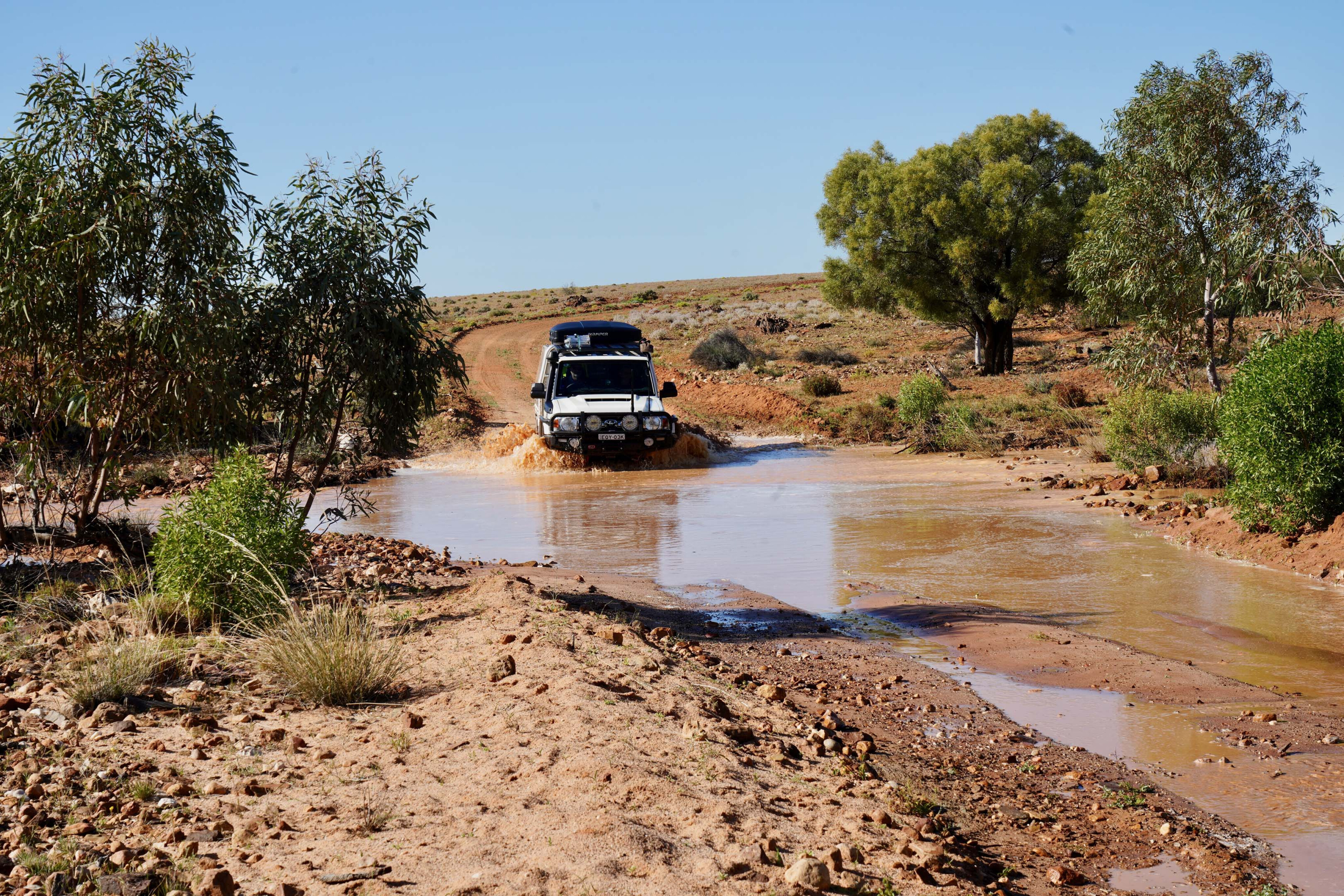
The plan was easy enough; follow the Darling River up from its junction with the Murray. That didn’t happen and somehow we found our way to Cooper Creek by a little known route which was a new one for us.
We changed plans again as the ranger told us the park was closed and the track was cut with floodwaters just a short distance farther ahead. Our plan to stay in the newly proclaimed national park that takes in the Caryapundy Swamp and the original Narriearra station in the far north-west of NSW was thwarted.
While much of the surrounding country was damp from recent rain the real issue here was slow moving waters coming down from Queensland had sent the Bulloo River Overflow in to flood mood and the swamp that the park takes its name from was damn near full. That’s great news for the bird and animal life; not so good news for us!
108
We turned around and stopped at the old Whittabrinnah hotel site – which Parks NSW is calling an ‘historic precinct’ and putting up an info sign, but there’s not much left here, just a scattering of chips of glass and rusty nails.
The pub that once stood here burnt down in the 1890s having been built in the early 1870s just 10 years after Burke and Wills had passed through on their disastrous journey to the Gulf and back.
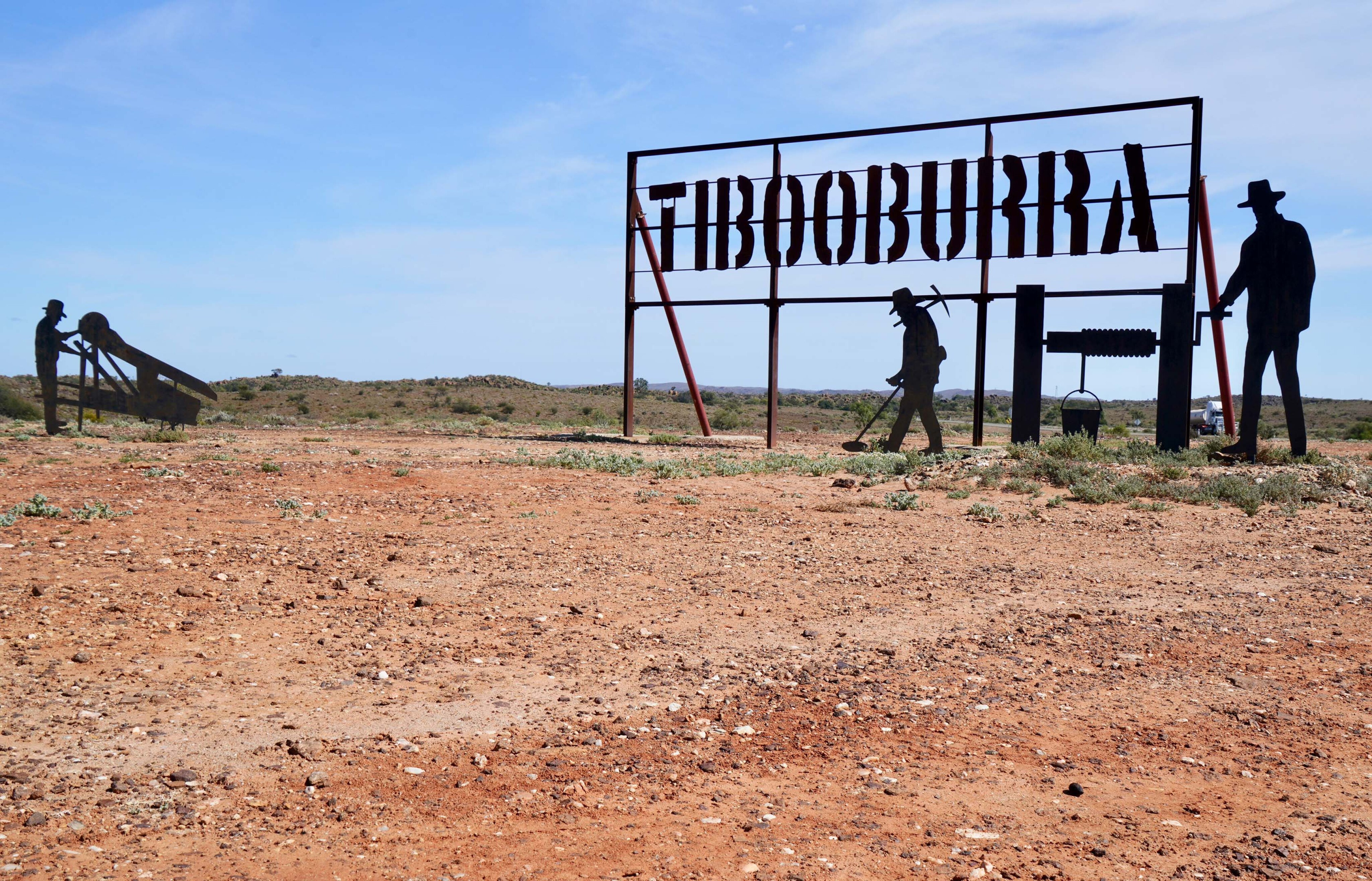
We headed to Tibooburra but with roads closed all over and a number of travellers and freight carriers stuck in town, we opted to head down the blacktop to nearby Milparinka and prop there till some roads opened.
108
Milparinka gold
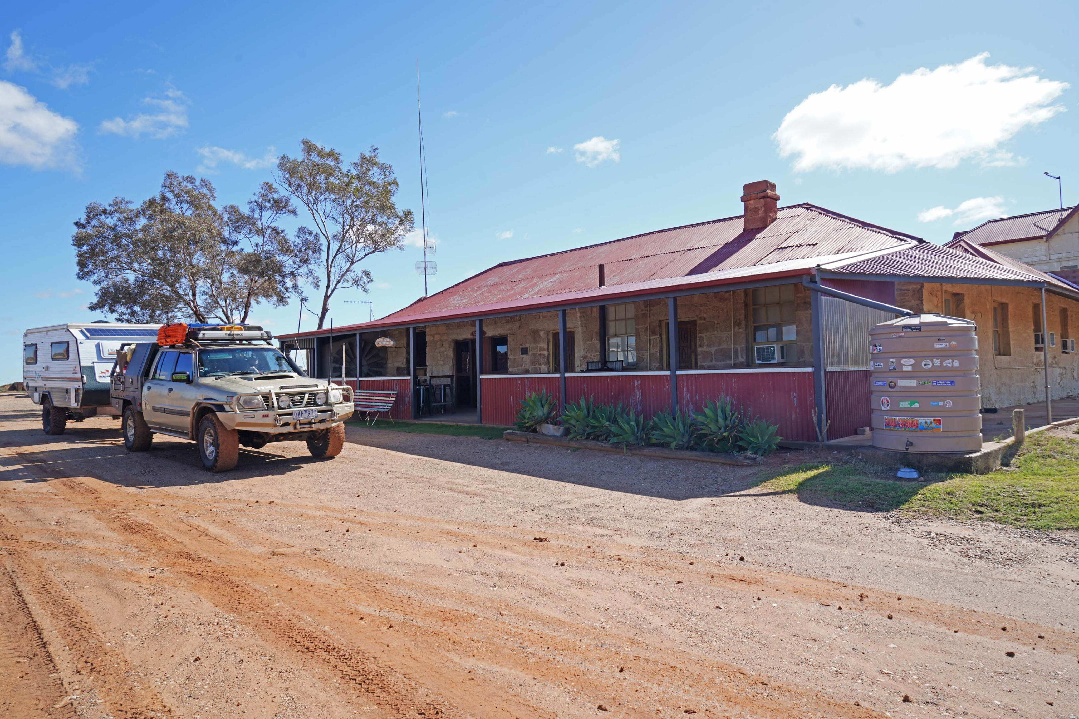
Charles Sturt had come this way in 1844, camping at nearby Depot Glen where he and his men (my GG Grandfather amongst them) were trapped for nine months because of a major drought. When gold was discovered near here in 1882, Milparinka was established, but the gold didn’t last long although the pub managed to survive.
With the main Silver City Highway bypassing what remained of the town, the pub closed down in the late 1990s and I thought that would be the end of the place, but happily I was wrong. The pub is back and with a good mob of volunteers, the history of the town and its beautiful old stone buildings have been restored to their former glory.
As well, a small well-set-up camping area has been established along with a museum detailing the history of the area, making a visit even more worthwhile and informative.
108
Two days later we were behind the wheel heading north on rarely used roads that at one stage took us between the sheds and garages and right beside the back door of the homestead of the local sheep station. We stopped and yarned to the owner, while his friendly working dogs vied for our attention.
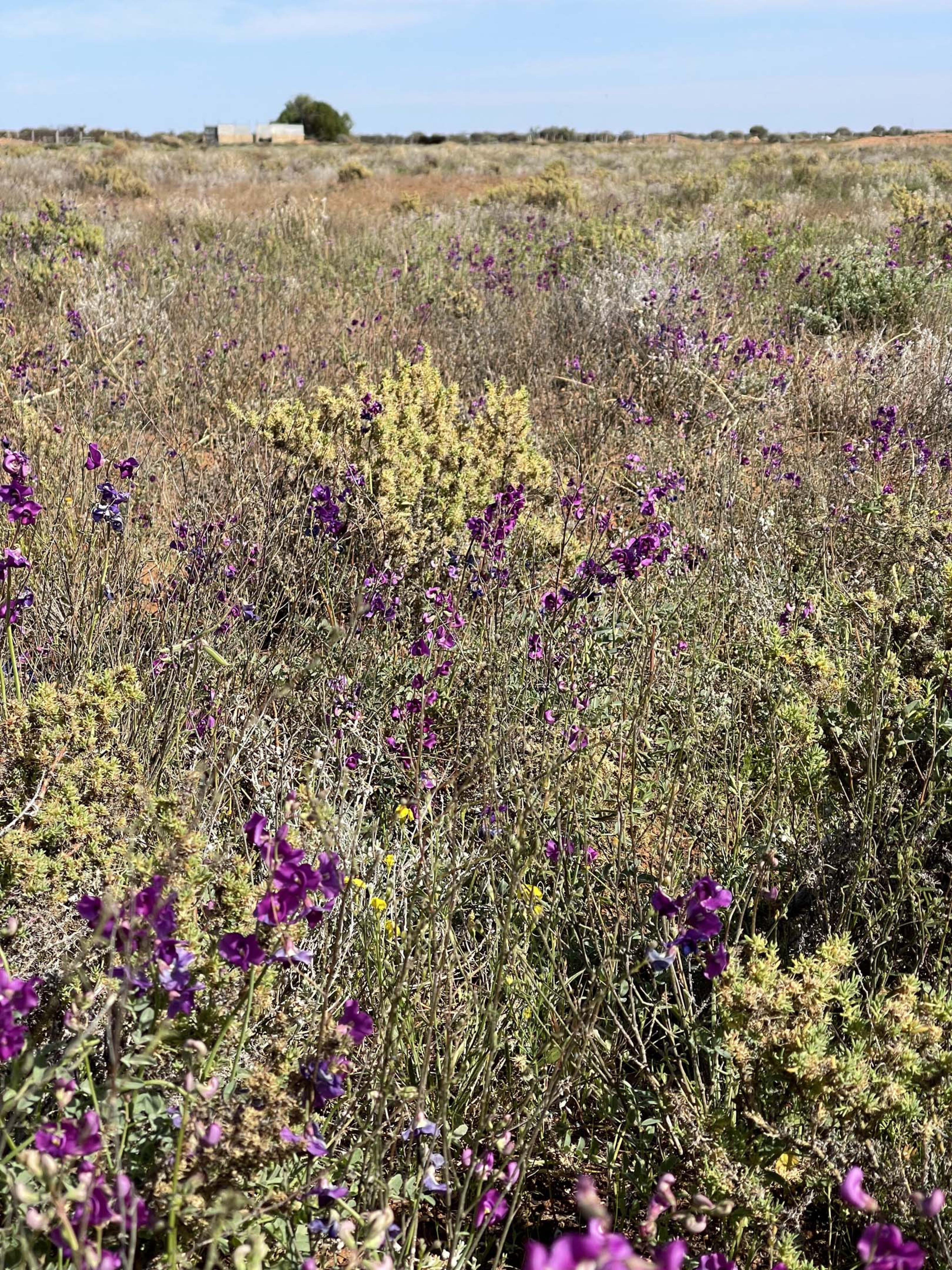
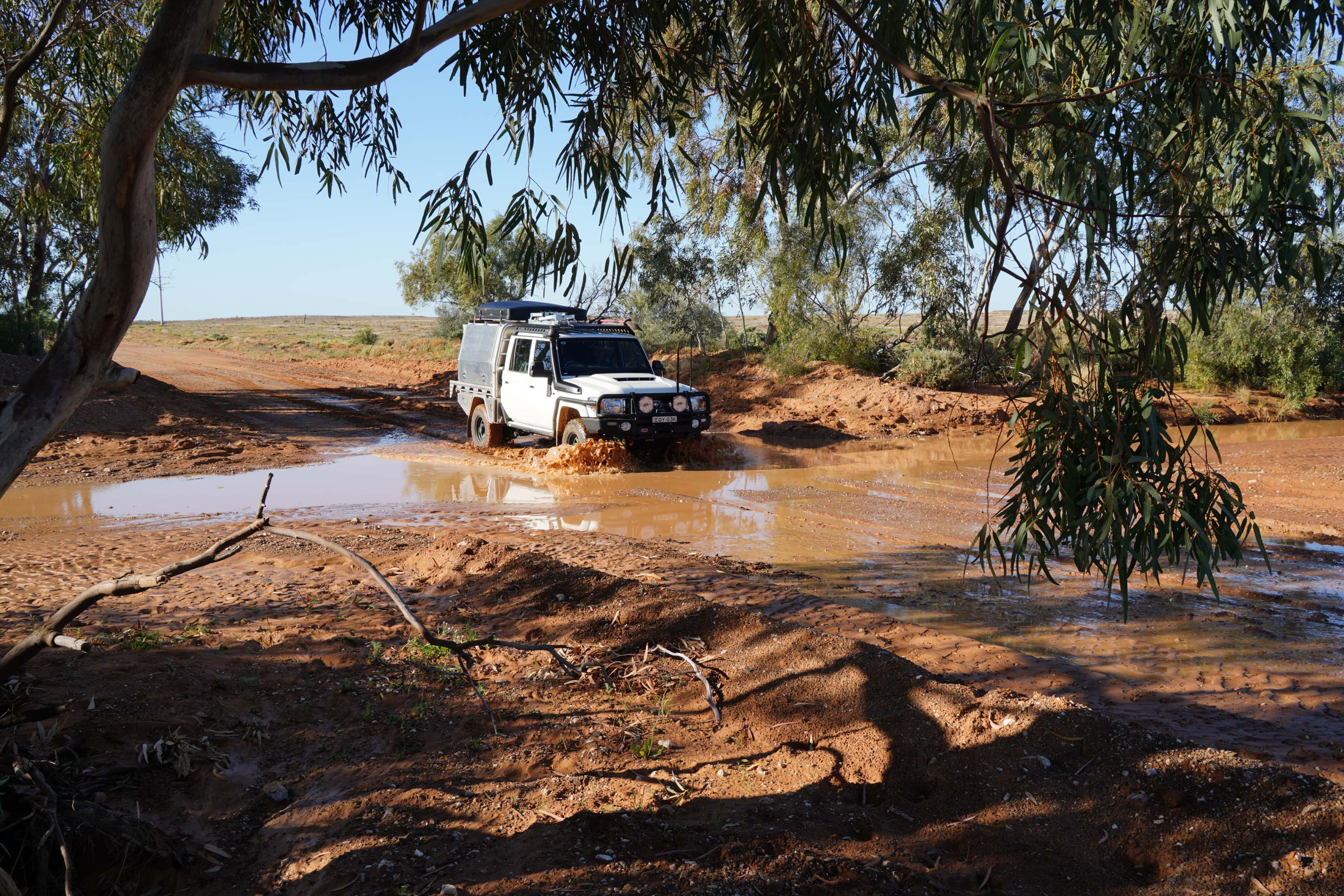
The country was looking good, the recent rain just the latest addition to the above-average yearly falls and while the tracks were dry, little dust was being raised by the wheels and the occasional creek was still flowing muddy water.
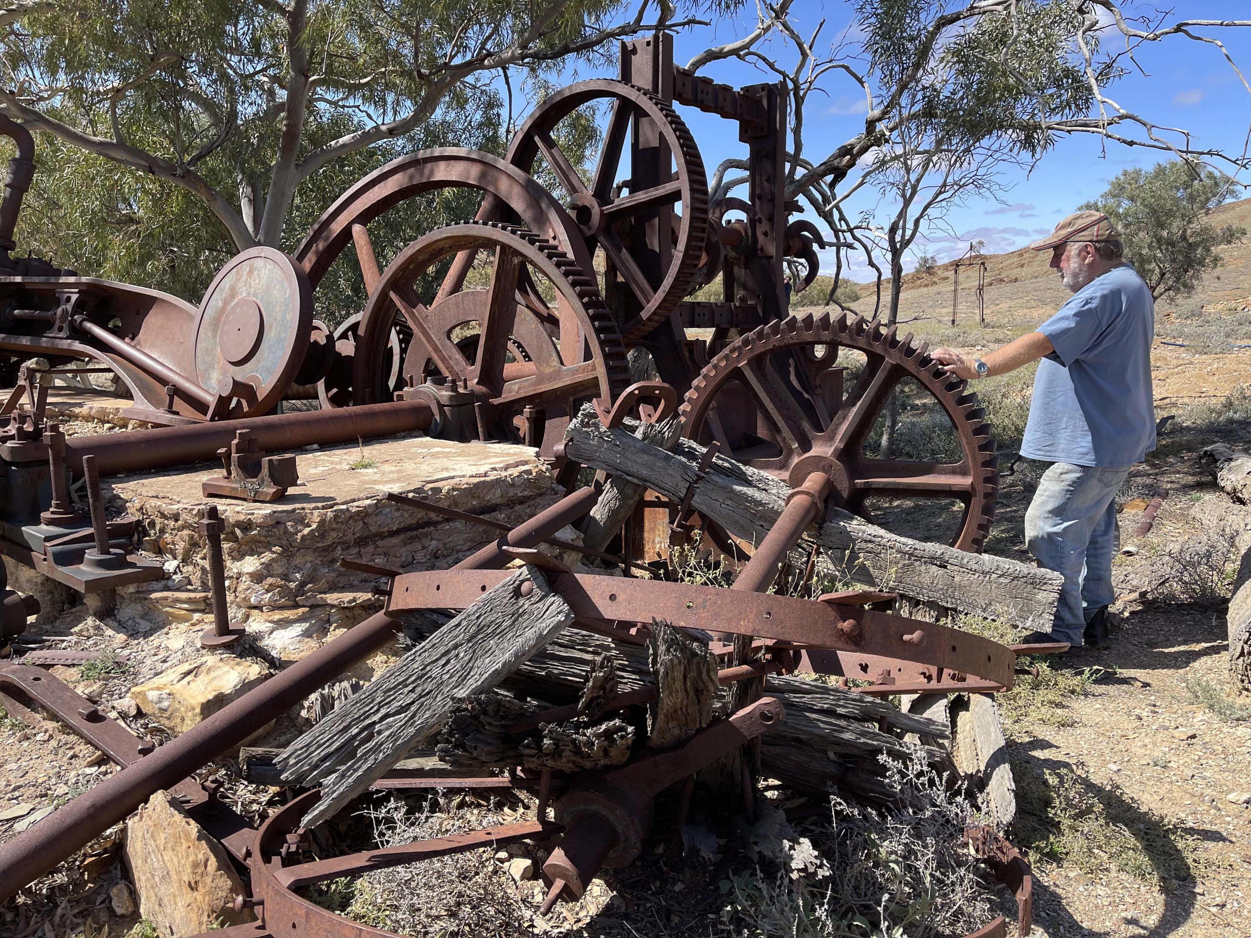
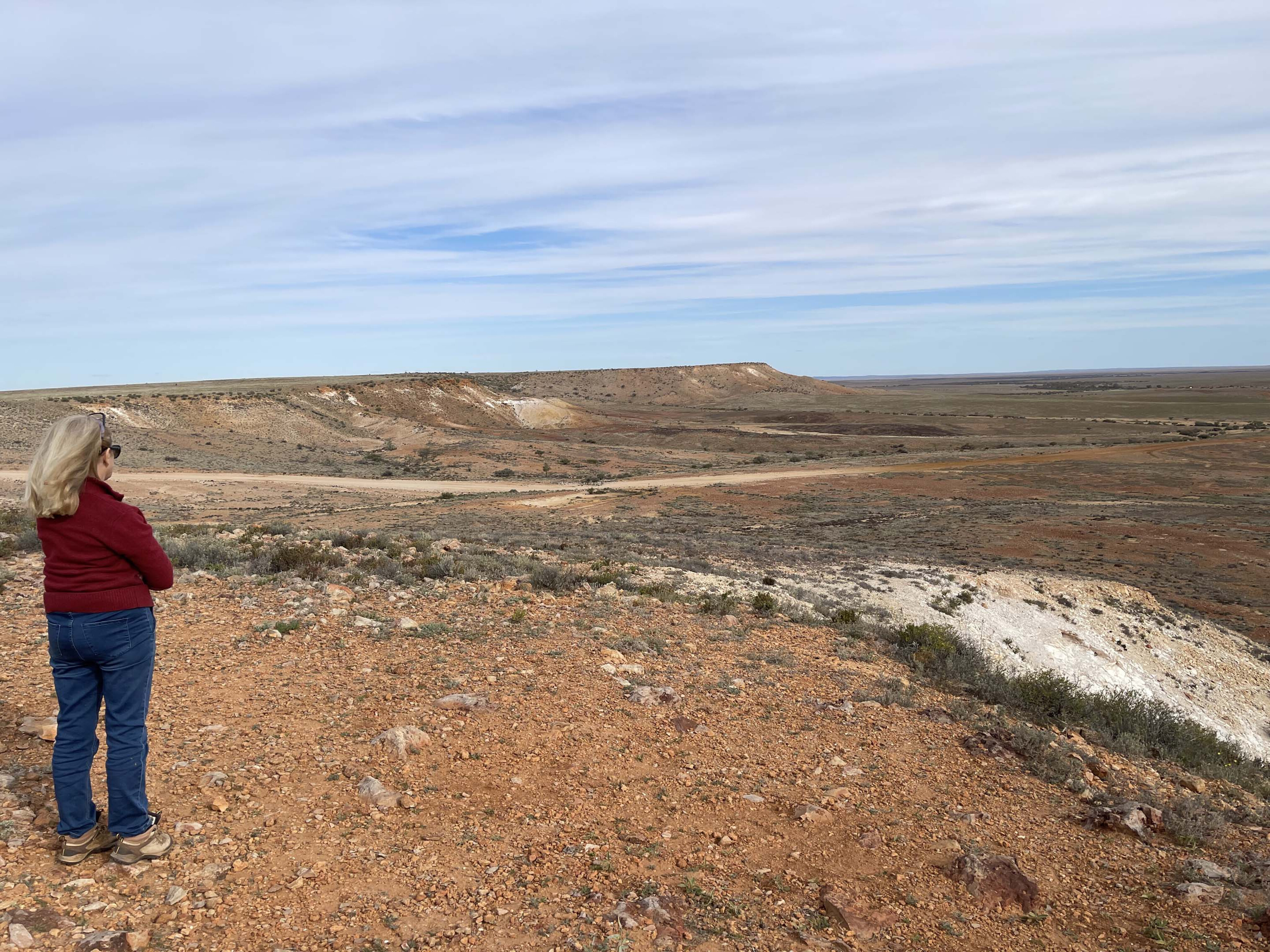
We took a detour and went in to check on the old Waratah goldmine site where an old stamper and processing plant dates back to the heady days of the late 1880s and the gold rush. That era saw hardy pioneer gold seekers enter this dry region looking for the yellow metal; not all survived!
108
Next day saw us in Tibooburra taking on fuel before heading north on the main road before striking westward into the Sturt NP. Earlier, on our way from our aborted trip to the Narriearra Caryapundy Swamp NP, we had stopped and checked out the Mt Wood shearing shed complex on the eastern edge of the park and the nearby historic displays of old equipment and whims used for pumping water in this arid region.
Now we were heading into the far north-west section of the park, camping along the way near the old Olive Downs homestead, which I was sad to see was in a state of disrepair, with no sign of any historic display there.
108
On our own
The lack of traffic and other travellers was surprising and we guessed that word had got out that many roads had been closed in the area and we saw no one once we had entered the park and for the next two days. The other surprising feature of our drive was the lack of kangaroos, the park more often than not being near overrun by them.
The long drought, which the recent rains had broken, was probably the main cause and knowing how quickly ’roos can breed when the good seasons return, the population is sure to rebound.
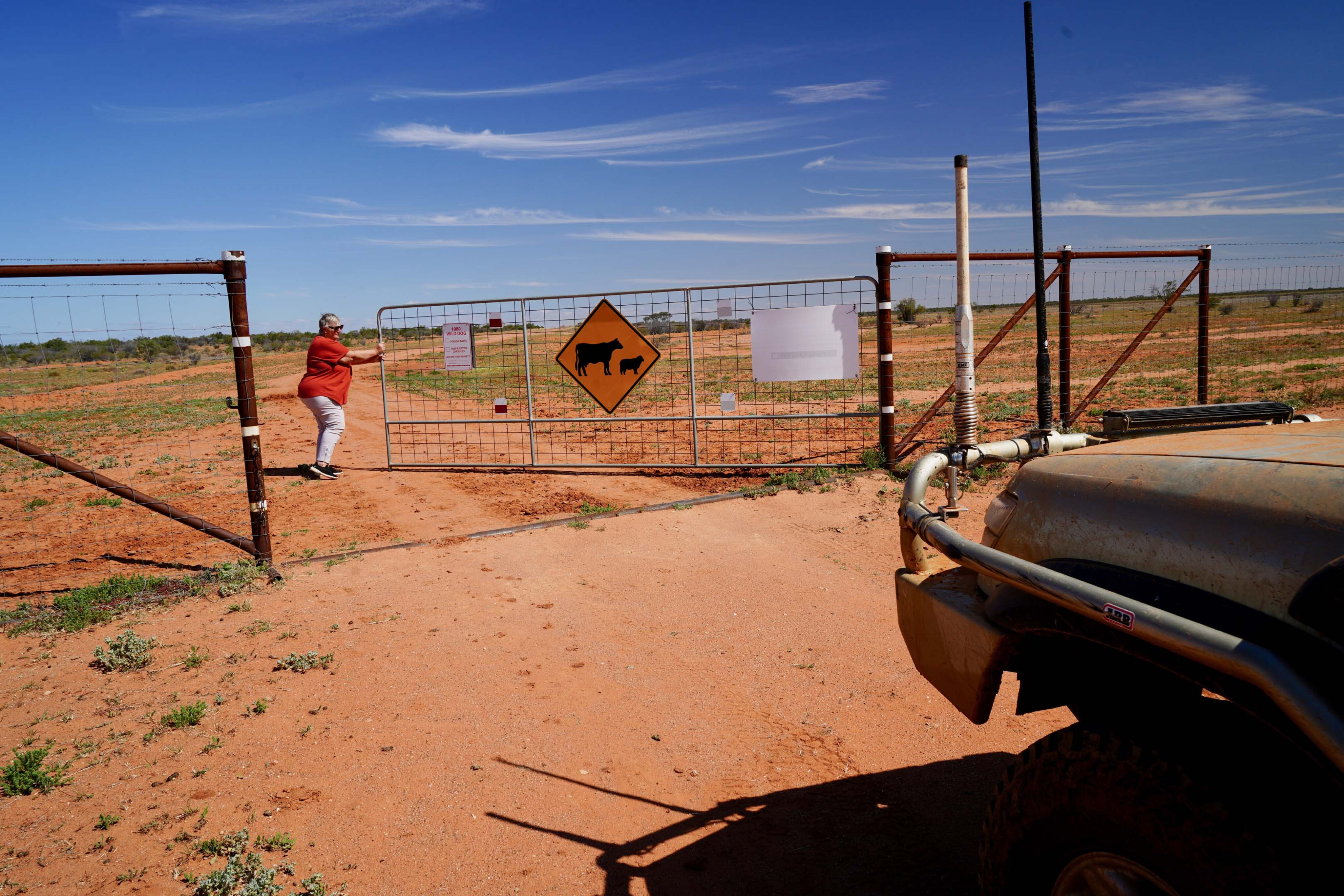
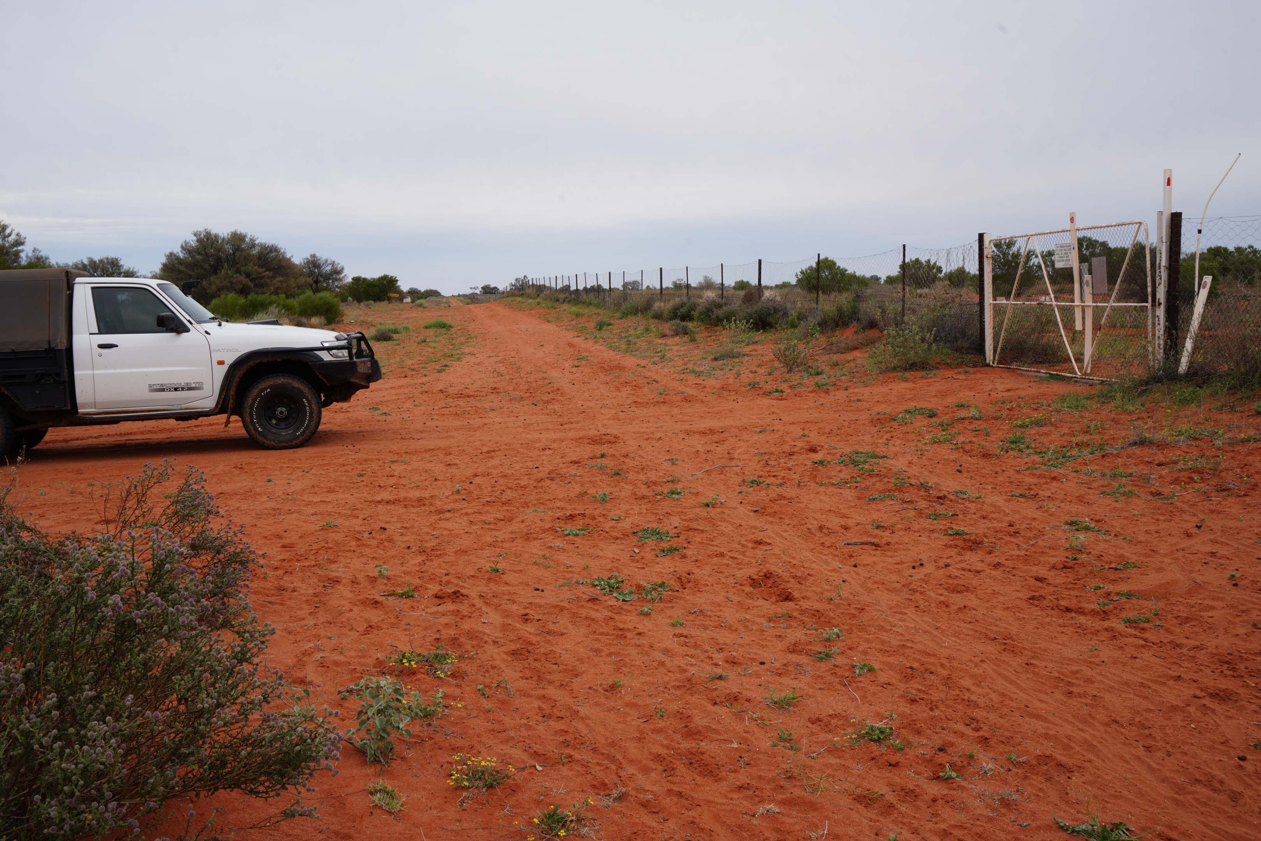
Stopping at Toona Gatehouse on the northern edge of the park where the famous Dog Fence marks the border between New South Wales and Queensland, we had a quick wander before opening the tall gate and entering the Sunshine State. And, it was sunny, which was a bit of a change from the last few days, but it still wasn’t particularly warm.
108
We flicked a coin and decided to continue north, bypassing the Cameron Corner Store road and the more used access route to Innamincka and the Cooper Creek.
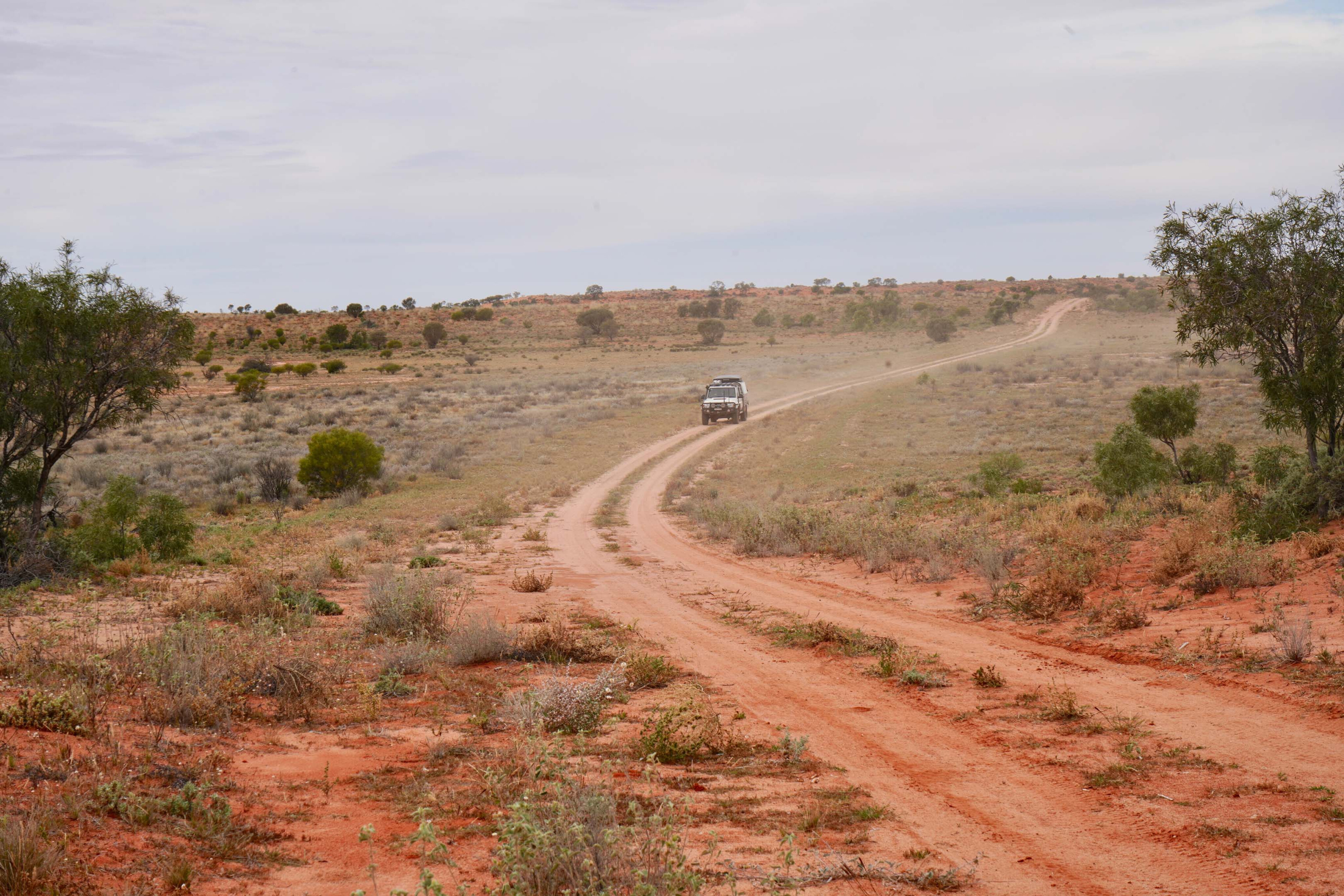
As we headed towards Omicron and Epsilon stations, we passed the heavy machinery of a road gang working on this remote section of outback road but there was still nobody in sight. While the sandy road improved for a short while as we passed Omicron homestead it became more of a two-track station route as it wound over low sand dunes and dodged around ephemeral dry lakes and crossed low sandy creeks, some of which had recently been flowing.
108
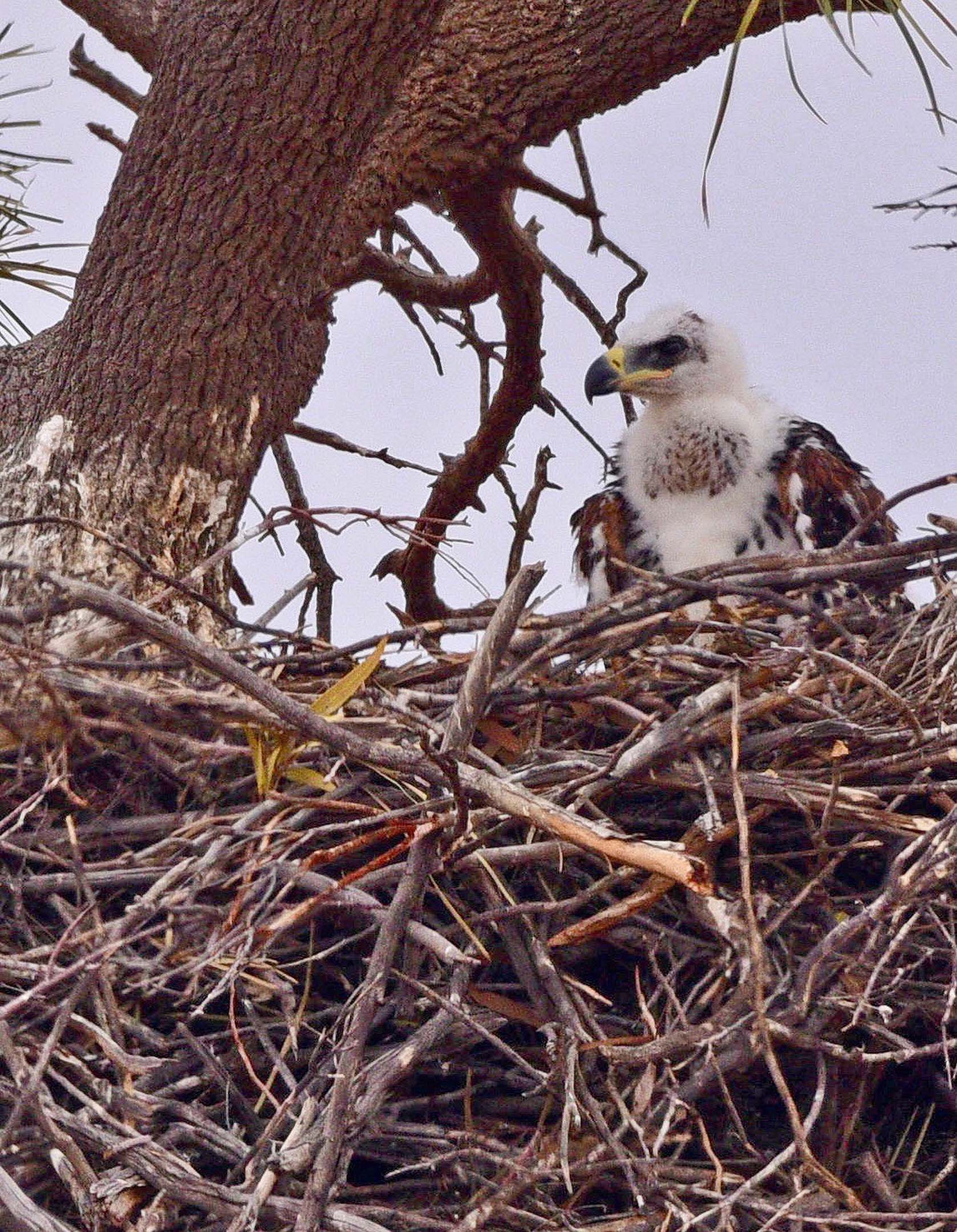
Stopping at one creek crossing a wedge-tailed eagle took to the sky from a tall dead tree nearby that was also graced with a large nest. Checking it with the binos we always carry, we spied the white fluffy head of a young eagle chick, but as I walked closer to get a pic he, or she, slowly lowered itself down, the movement hardly discernible but still effective in getting the young bird out of sight.
We struck a more major dirt passageway, its name, Moomba Road, giving away its destination and its sense of importance. We were now entering the eastern edge of the Cooper Basin oil and gas fields and tracks branching off this way and that became ever more common as we proceeded on.
The basin covers some 35,000km² of north-east SA and south-west Queensland and there’s been more than 1970 wells drilled in the region, all with a road or track to them.
108
Old Tickalara Road
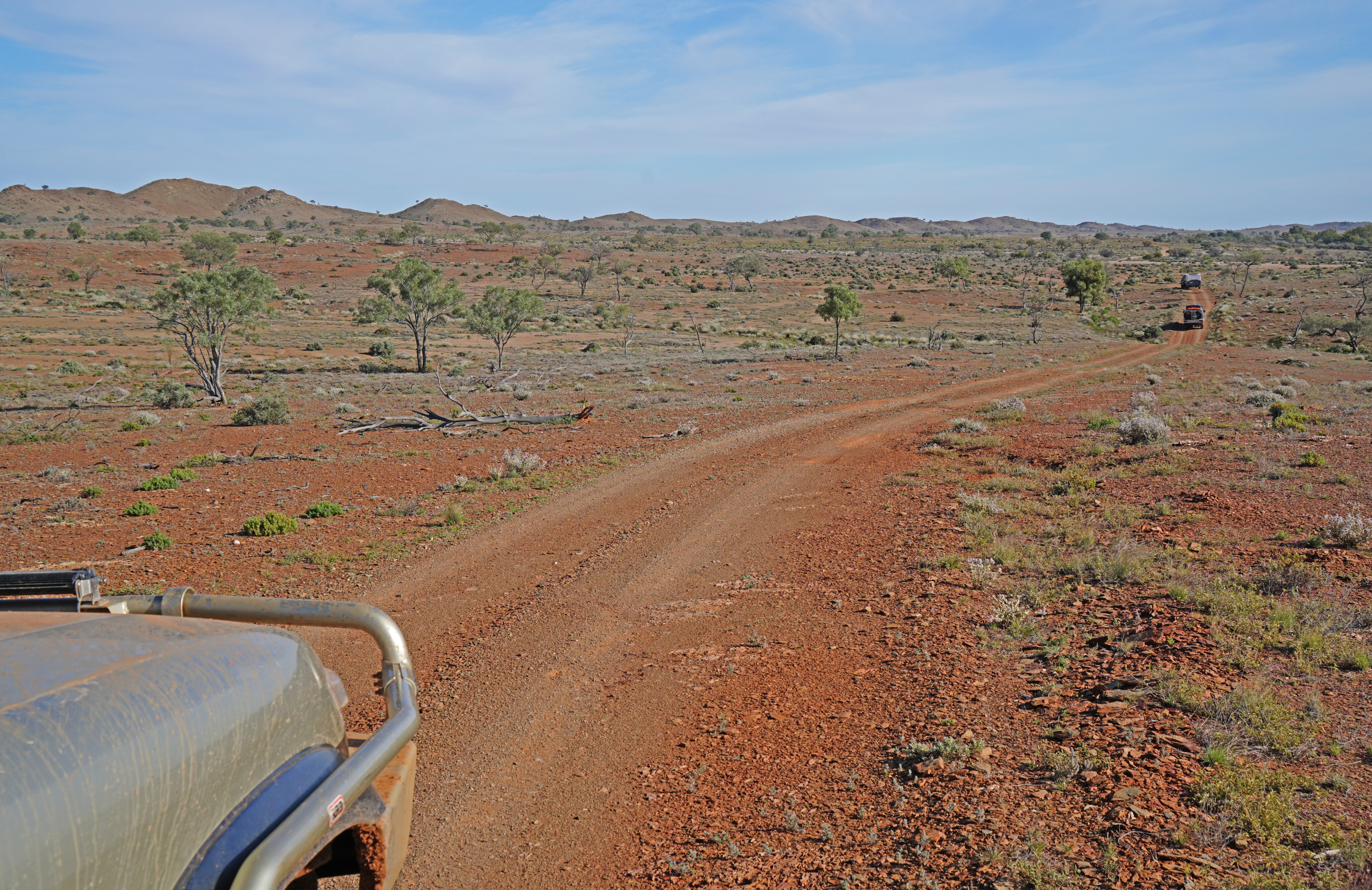
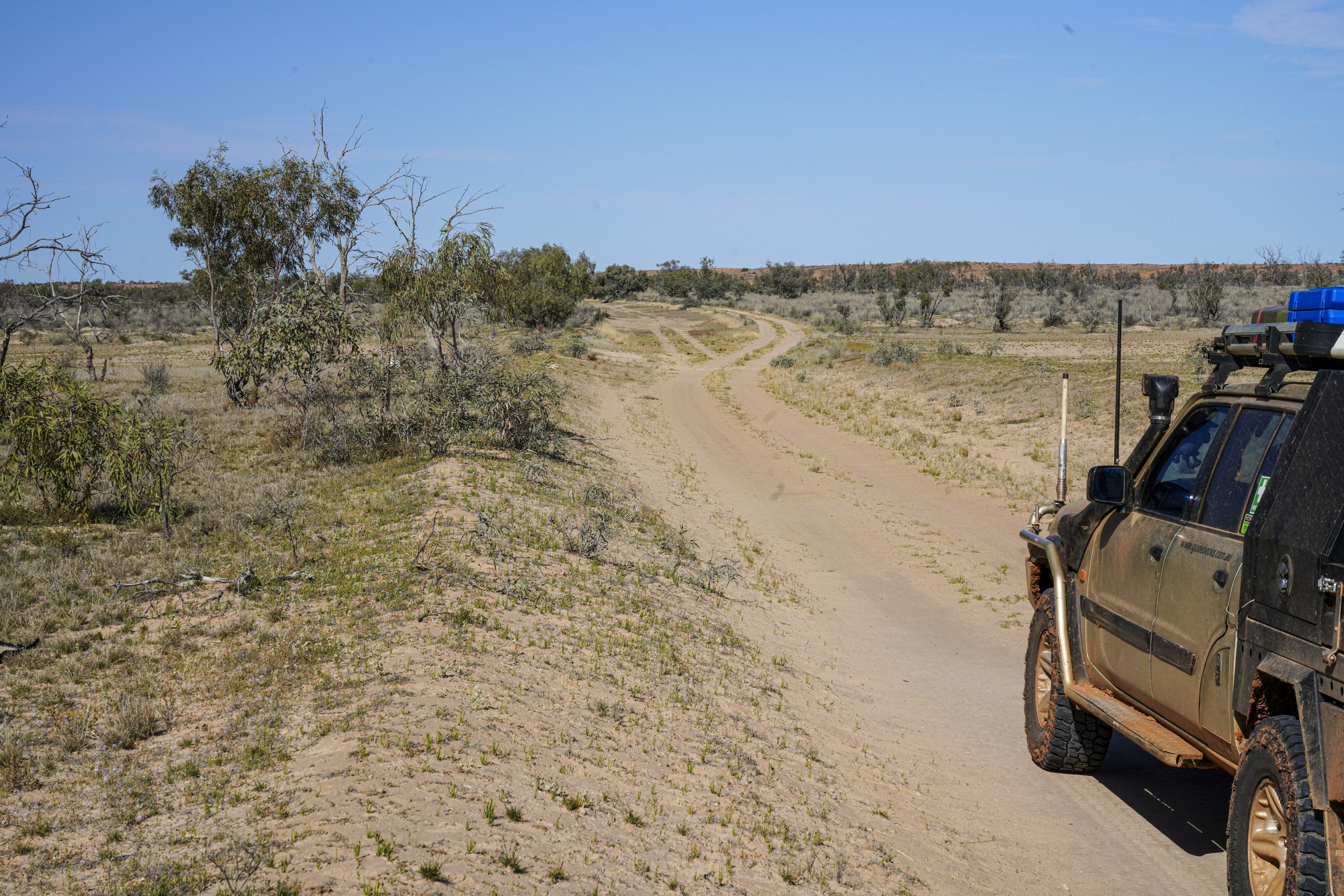
Just north of Epsilon homestead and the nearby gas workings (we still hadn’t seen anyone), and being sick of the major dirt road, we turned on to a lesser track, signposted ‘Old Tickalara Rd’. We dawdled our way over low red dunes revelling in the isolation and the little used two-track.
Taking an even lesser used route south, we ended up at a gas well, but the only sign of life, or use around it, were a few groups of cattle that watched us from the sparse shade of a few spindly trees.
Backtracking to the Old Tickalara Road, we headed west over more small dunes before the track turned sharply north to run between the low sandy crests and parallel to the SA-Queensland border which was, by the Hema navigator on the dash, just two or three kilometres to our west.
108
We crossed a major gas road along with lesser tracks all signposted to wells with names such as Kerna North, Moon 1 and Sarah 1. Near a dam and solar powered bore, just off the track north, was a huge piece of seemingly abandoned machinery that would have taken an even bigger piece of gear to haul it to this lonely spot.
None of us had any idea what it was actually used for, apart from the fact that it was something to do with drilling for gas or oil.
Striking the Moomba Road once more we turned west towards the Dullingari Oil & Gas Fields and then, just over the border in SA, turned north on to the Bore Road, gas- and oil-well tracks off to the left and right becoming even more common and confusing.
108
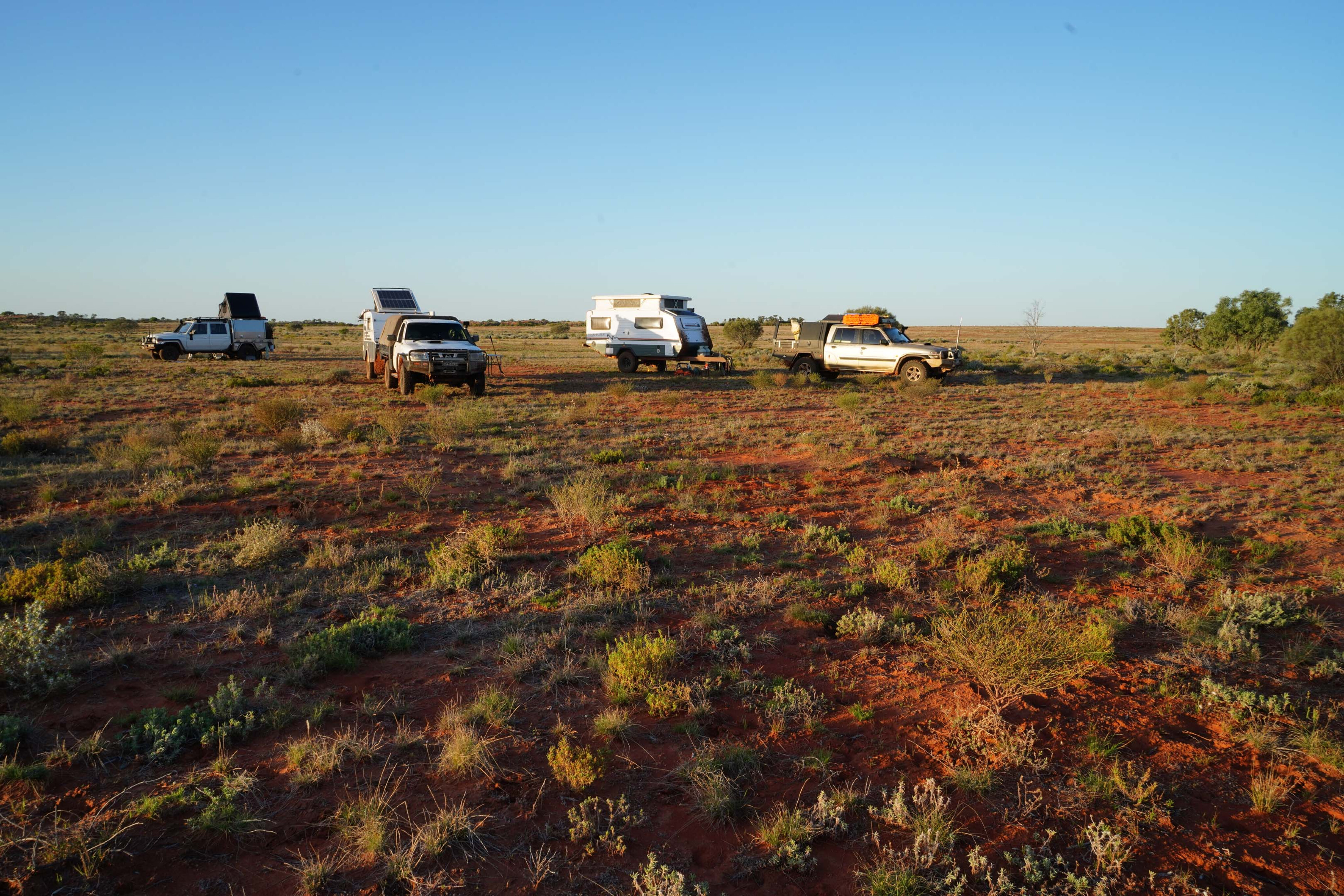
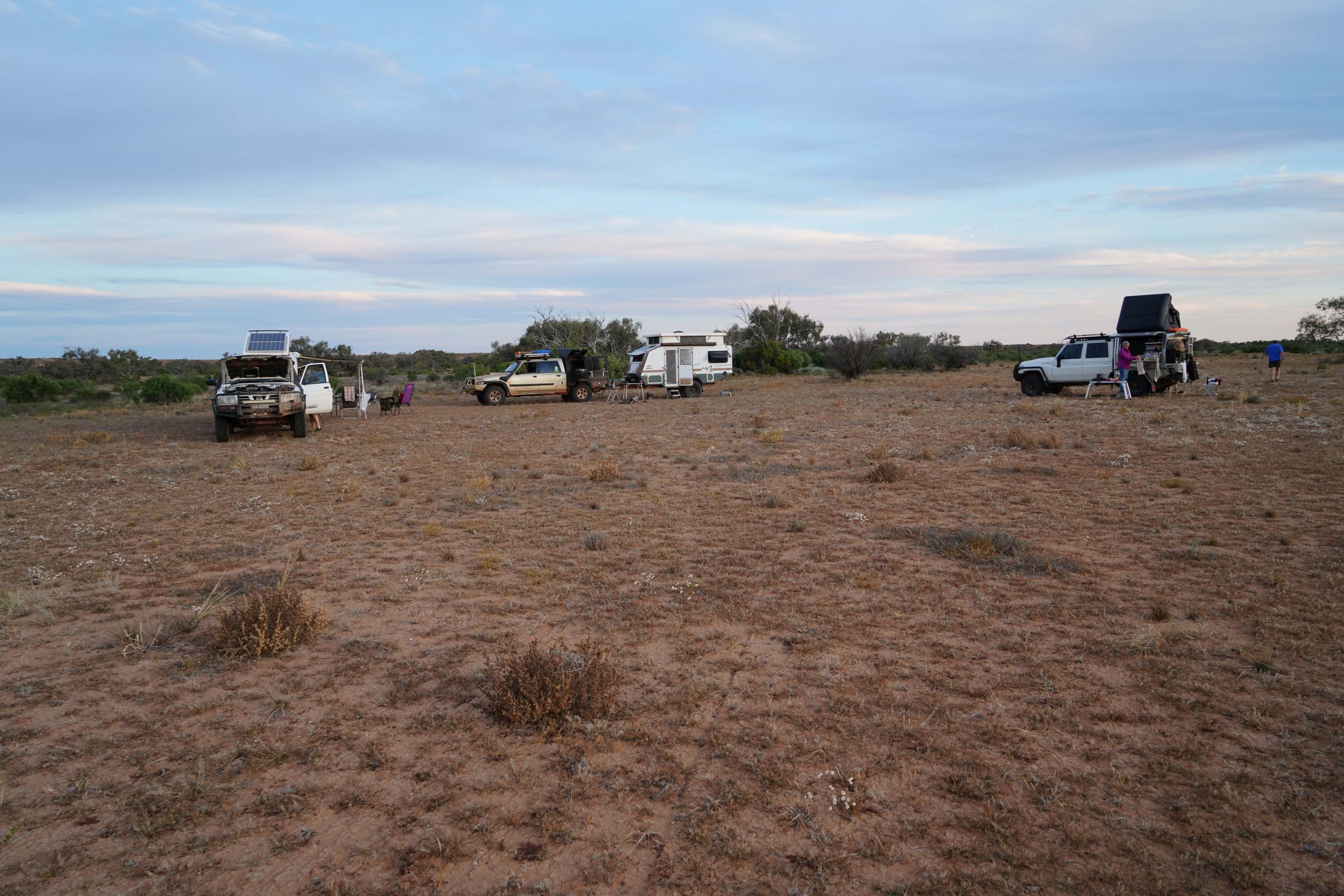
As we crested a low stony rise, the country suddenly changed from sandy country interspersed with low scrub covered dunes to gibber plains without a tree or bush in sight. We backtracked and pulled off the road to find an overnight camp tucked in amongst some scrub close to a sandy transient creek.
The surrounding country was as green as a metropolitan park, the recent rain bringing a rich verdancy to the whole country – it was magic. That evening a murder of crows circled above our camp, none of us sure why they were taking so much interest in us and all of us hoping it wasn’t a bad omen!
108
Cooper Creek
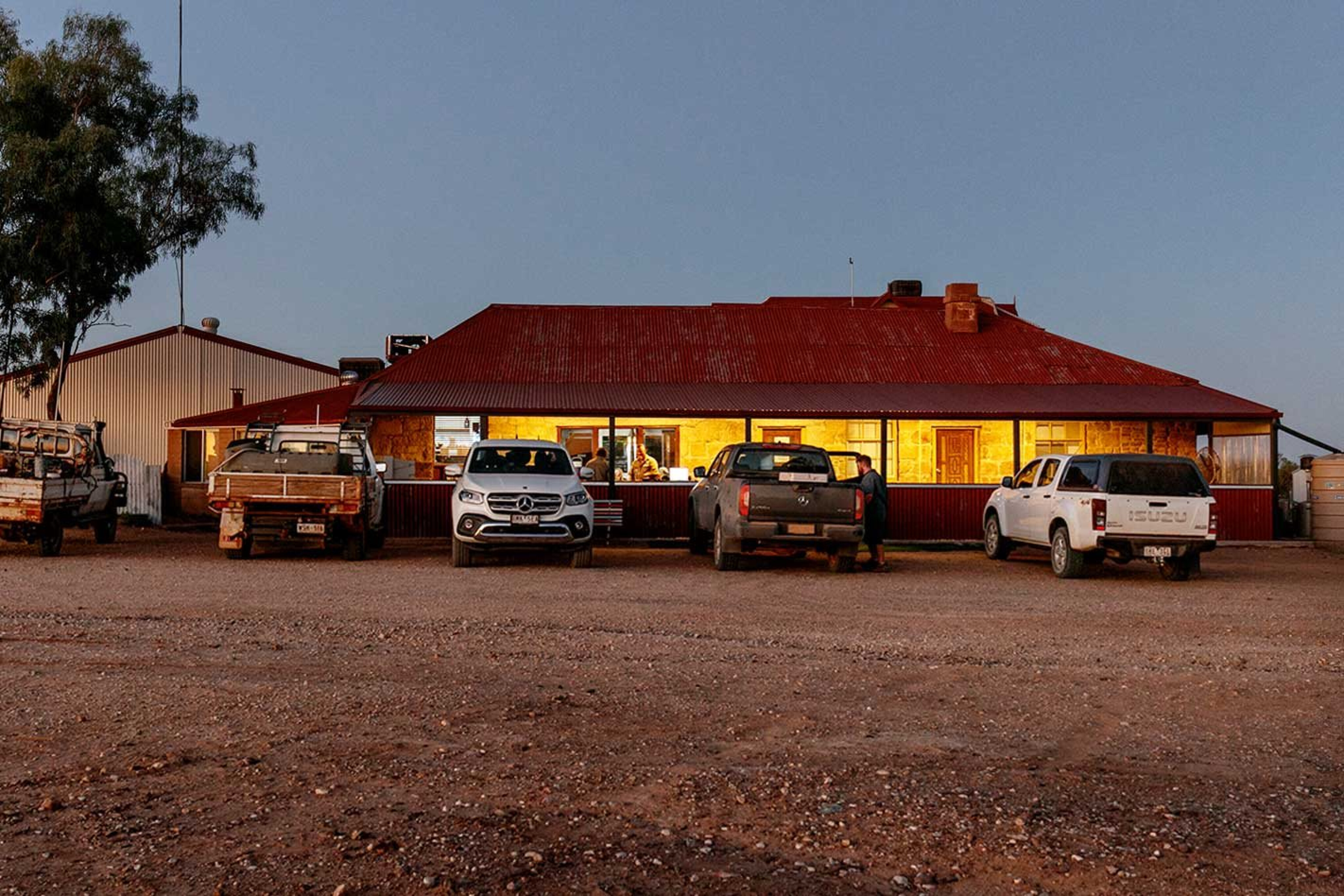
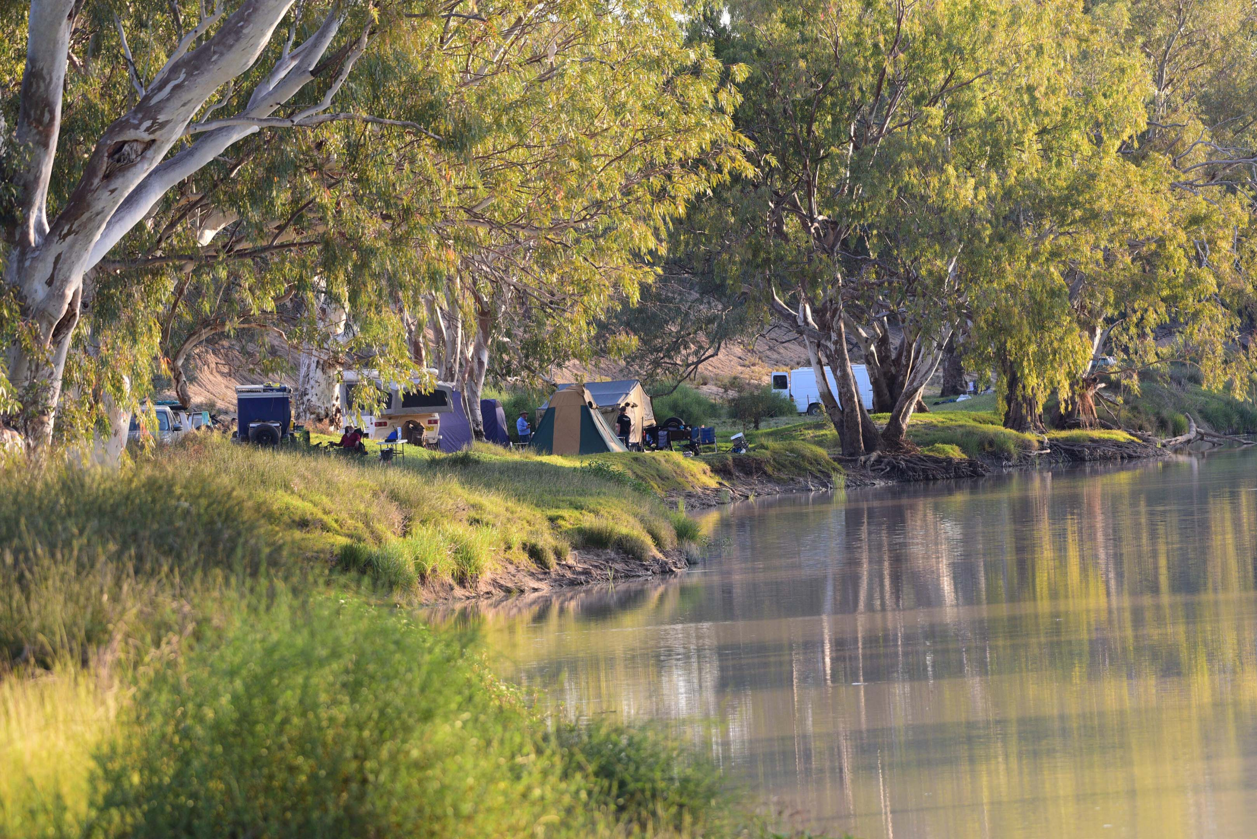
As we rolled into Innamincka next morning, we were surprised to find a relative lack of visitors and we wandered down to the gum-lined banks of the Cooper Creek, within the Town Common area, and set up camp. You don’t need a SA Desert Parks Pass to camp along here but you need to pay the small fee up at the pub; it was a good excuse to grab a counter meal at the same time.
Again, most of the tracks to points of interest around here were closed because of rain and flooding along the creek so we stayed an extra night, revelling in the solitude and peacefulness that the creek and its tall red gums have to offer.
Sturt had crossed the creek, naming it in 1844, on his way to a supposed inland sea and while he pushed on along the edge of the Simpson Desert, he didn’t find any great expanse of water. Burke and Wills and their grandiose but ill-fated expedition were next on the scene in 1860, dying along the bank of the stream on their return from the Gulf of Carpentaria in late June, 1861.
108
Eleven years later, a police post was established on the banks of the Cooper and a store, hotel and the Elizabeth Symon Nursing Home quickly followed. However, by the 1950s, the people had moved on and the place fell in to disrepair.
The pub and store we see and rely on today to deliver a cold beer, fuel and succour to all of us passing travellers was established in the early 1970s, led by outback legend and tour operator, Mike Steel. His book, Red Rover, tells of those early days.
108
Old Strzelecki Track
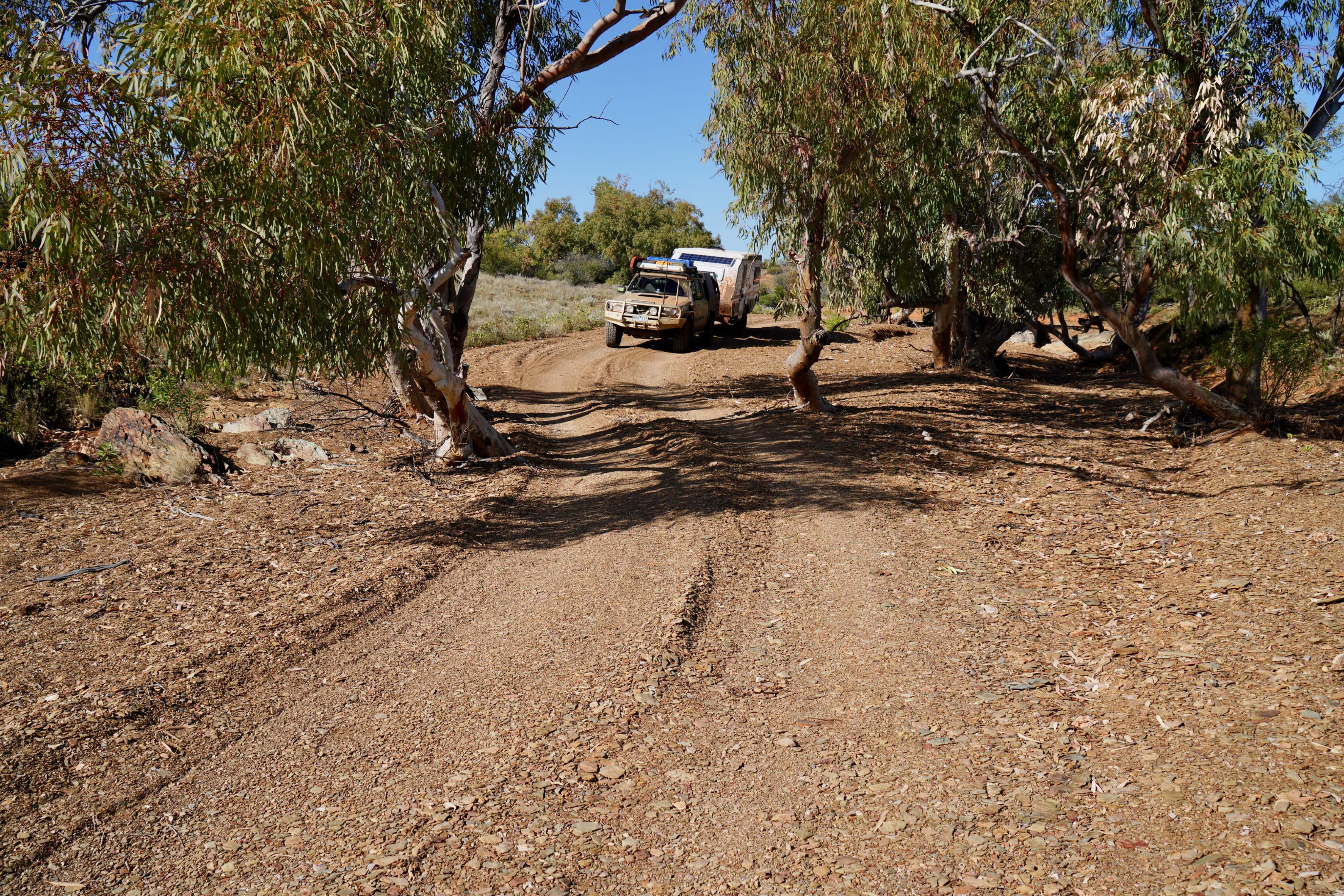
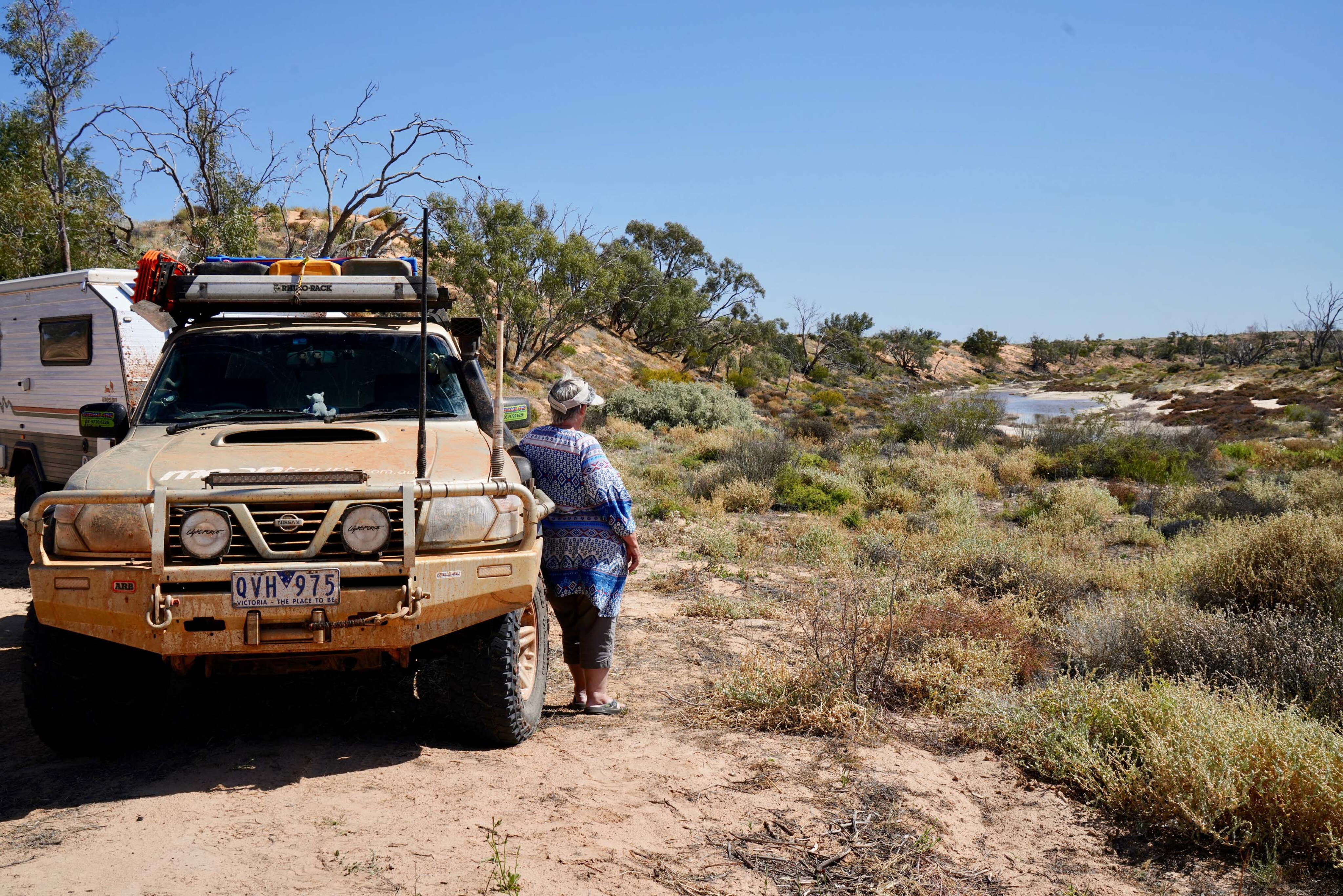
It was a leisurely start next day as we grabbed a few supplies from the Trading Post and then headed off, this time choosing the Old Strzelecki Track to take us south, instead of the more major road and commonly used access route most people used. This track follows the almost imperceptible Strzelecki Creek which rarely flows between the low dunes (the last time was in 2010 after a 20-year hiatus).
In places, its braided channels spread out taking in two or three interdunal valleys on each side of the main channel.You can easily see the effect of these life-giving waters as they give rise to the scattered spindly coolabah trees dotted across the areas where the occasional floodwaters reach.
108
We stopped in the shade of some taller, healthier coolabahs at the Strzelecki Crossing where the main channel of the creek is distinct and the trees taller and shadier. Nearby and reached by a sandy track that climbs over a steepish dune is Yaningurie Waterhole, but this time it was just a shallow, dying pool surrounded by scrub covered dunes, most of the scrub being prickly and spiny and unpleasant to walk through.
Pushing south, that evening we camped on a flat plain beside Yerila Creek, the peaks of the northern Finders Ranges our beacon and our destination …. but that’s a story for another time!
108
Five POIs not to miss:
Milparinka Heritage Precinct
A $5 Precinct pass is required for visitors to access the heritage trail sites starting with the restored 1896 Milparinka Courthouse which includes a visitor centre and history of the local Malyangapa people and European settlement.
Moving along, visit the Barracks’ Museum, the Sturt-Kidman Centre, the Old Post/Telegraph Office, Milparinka Community Art sculpture, Harry Blore Park, Albert Goldfields Mining Heritage Centre, Station Sheds, Milparinka Heritage Mural, the Heritage Walking Trail, and of course, the historic Milparinka Hotel.
108
Depot Glen
Following explorer Charles Sturt’s 1844 ‘inland sea’ expedition route, to the north-west of Milparinka is Preservation Creek upon which he set-up Depot Glen where he and his team were forced to camp out the summer. There’s a walking track to nearby Mount Poole were Sturt had a cairn erected as a survey point and later as monument to his second-in-command James Poole who passed away from scurvy.
The expedition would go on to name Strzelecki Creek and Desert (including his Fort Grey Depot at Lake Pinaroo), Cooper Creek, Sturt Stony Desert before the sandhills of the Simpson Desert blocked their path. The expedition covered more than 3000km over 17 months.
108
Mount Wood
Within NSW’s Sturt National Park in Corner Country and east of Tibooburra is Mount Wood Homestead offering self-catered accommodation and as a time capsule of outback life. This historic 1890 stone homestead, its Shearers Quarters and outdoor
Pastoral Museum exhibit bygone days exhibit the hardships of attempting to tame this desert region. Mount Wood a great base from which to explore Sturt NP with its red dunes, sandstone escarpments and desert wildlife.
108
Backroads to Cooper Creek
With floodwaters and recent wet weather impacting Corner Country with road closures, it was an opportune time to try out some of the lesser used backroads in our quest to reach Innamincka and Cooper Creek.
The detours took us to Milparinka, through sheep stations, gas and oil fields, with detours along way. Backroads of note include Moomba Rd, Old Tickalara Rd, and the Old Strzelecki Track on the return leg.
108
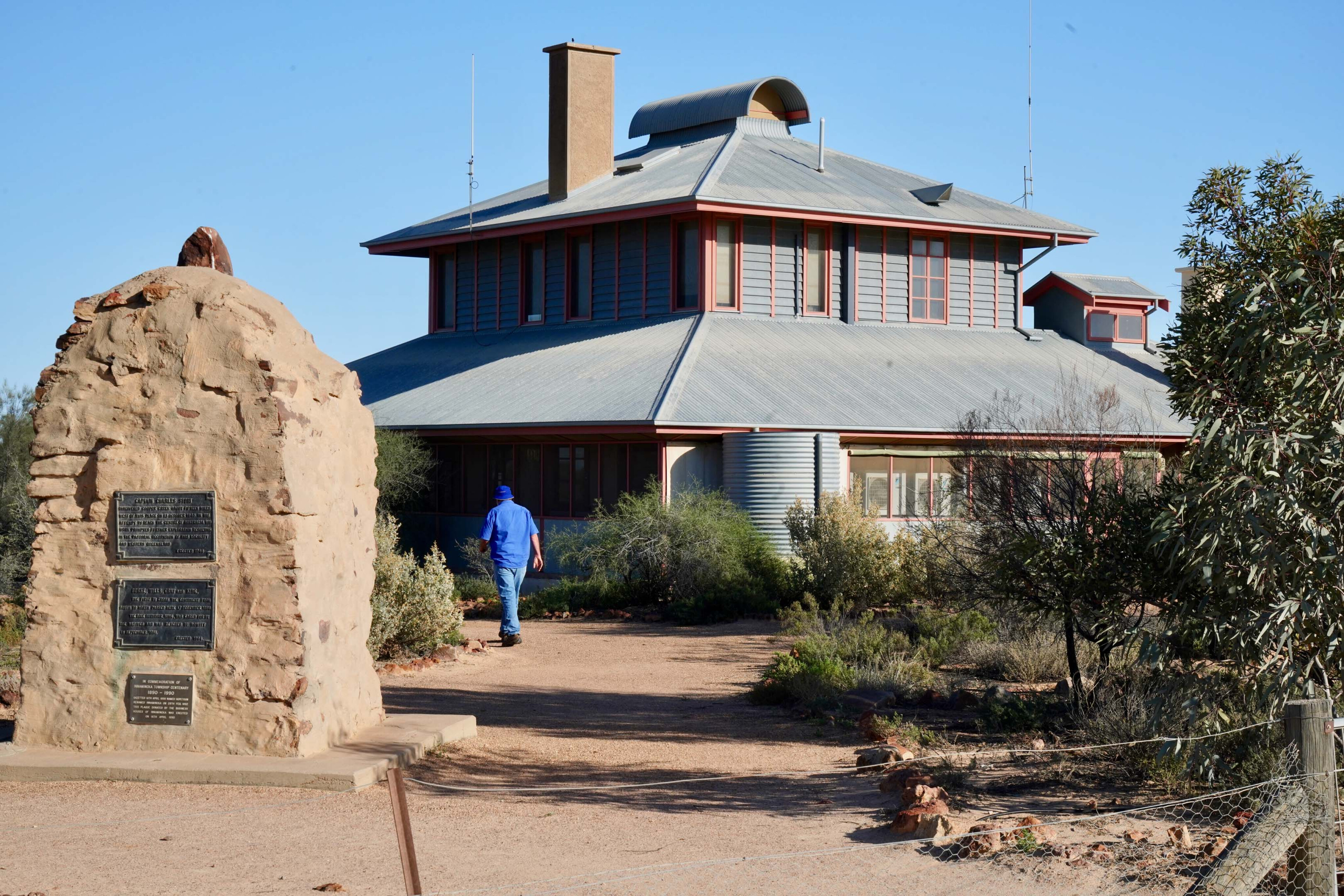
Innamincka’s historic sites
Innamincka township sits on Cooper Creek and is the gateway to the Innamincka Regional Reserve and adjacent Coongie Lakes National Park.
Along the Cooper are Aboriginal stone engravings, middens, tool-making sites, quarries and more, while European heritage includes markers to the ill-fated 1860 Burke and Wills expedition to the Gulf denote were Wills died, Burke’s body was discovered and where King was found. The famous Dig Tree is some 72km east of the town at the expedition’s base camp.
108
More info:
Please enable JavaScript to view the comments powered by Disqus.
COMMENTS