Explore SA
Gallery11
Have you spent time at Kingoonya? For a remote one-pub town, it punches well above its weight.
The caravan park is quaint and well-run, it’s also where you can fuel up before or after tackling Googs Track. The Kingoonya Hotel is a friendly spot to hang out with the owners, locals and happy-to-chat fellow travellers, the beer is icy cold and the tucker is top-notch. Kingoonya is also a great spot to kick off a Lake Gairdner and Gawler Ranges adventure.
11
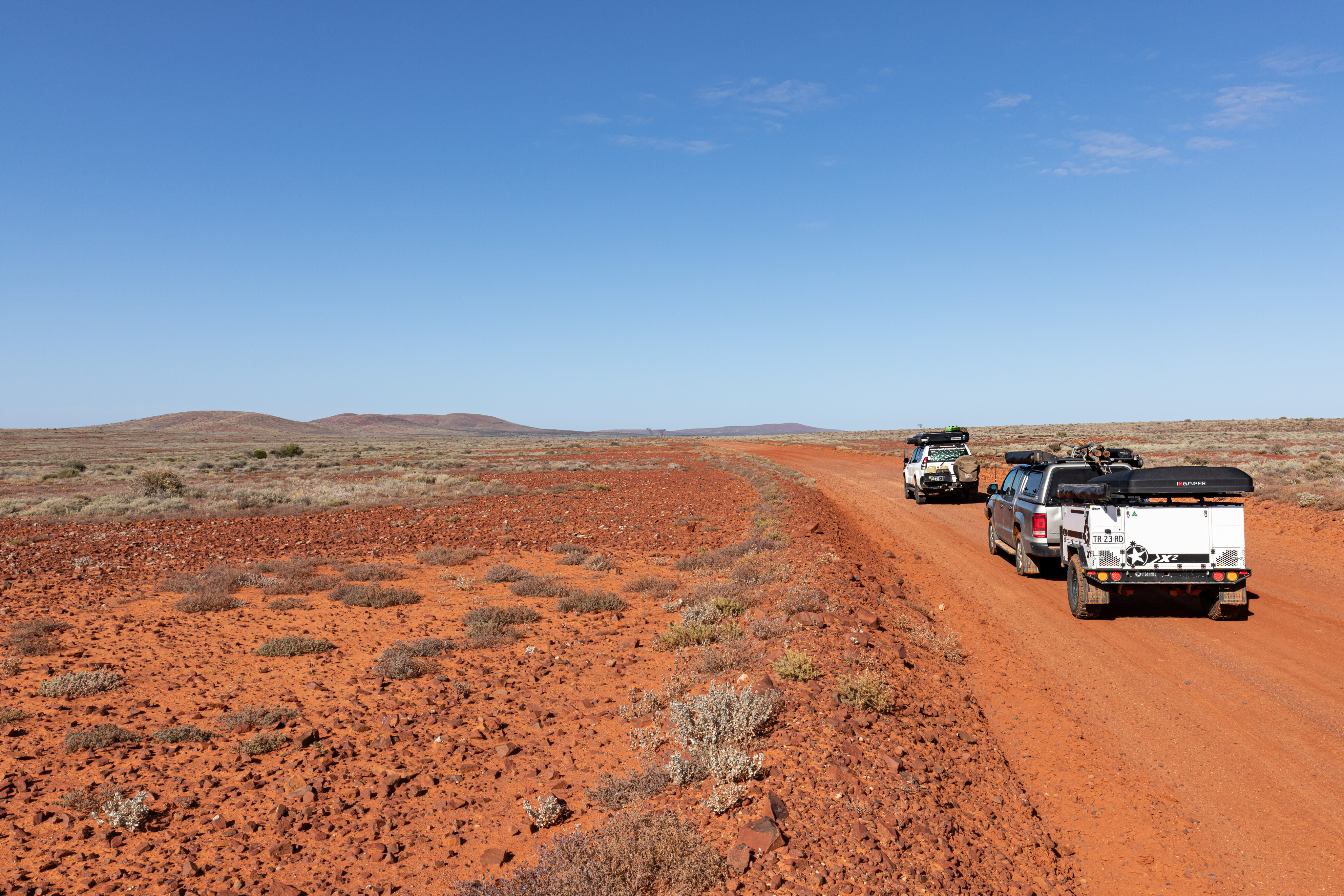
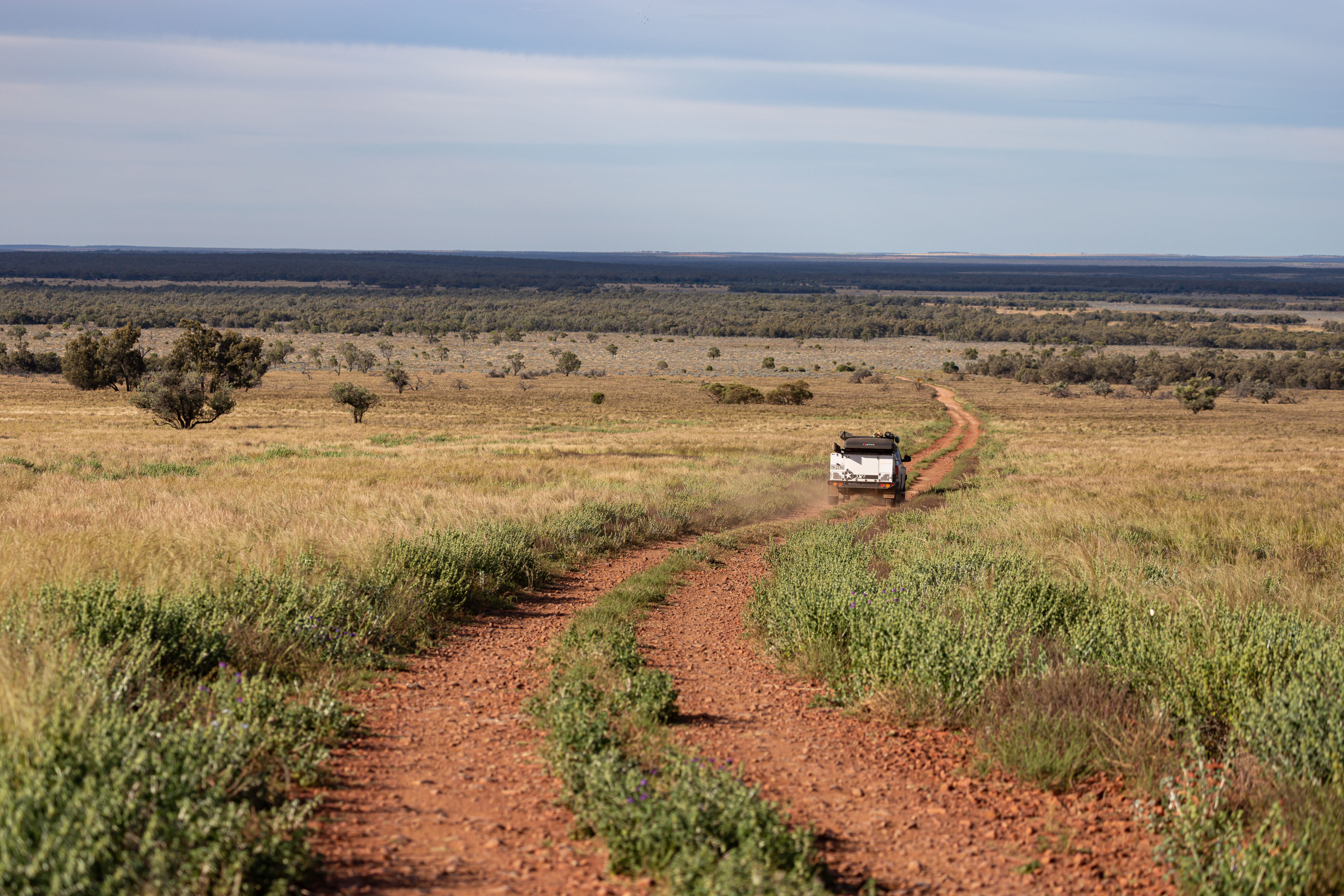
As we headed south along the Gawler Ranges Road, there was still plenty of pooled water but thankfully it could be bypassed so there was no damage to the road, while the open saltbush plains were home to more emus than sheep. The sandy track was in good condition, except on corners and cattle grids, where the corrugations were harsh.
A small western grey kangaroo tried to play chicken, eventually bounding away when we got too close. The sheep that we did see looked healthy, and a small flock crossed the road in front of us making their way to the shade offered by a clump of gidgee. A patch of Sturt Desert Pea caught my eye and so we stopped to take a few photos.
Explore Australia


11
As the road led us across a low range, we spotted our first goats as they darted away once they’d heard the rattle of our vehicles. The track soon became sandy again with desert oaks, spinifex and gidgee dominating.
After crossing a few dunes, we reached the turnoff at Skull Camp Tanks Road. After checking out the old wells at the junction and filling the Travel Buddy with some pies and sausage rolls, we made our way along the side road.
Lake Gairdner
Skull Camp Tanks Road is a real beauty with a mostly smooth surface making it as comfortable a drive as a country bitumen road.
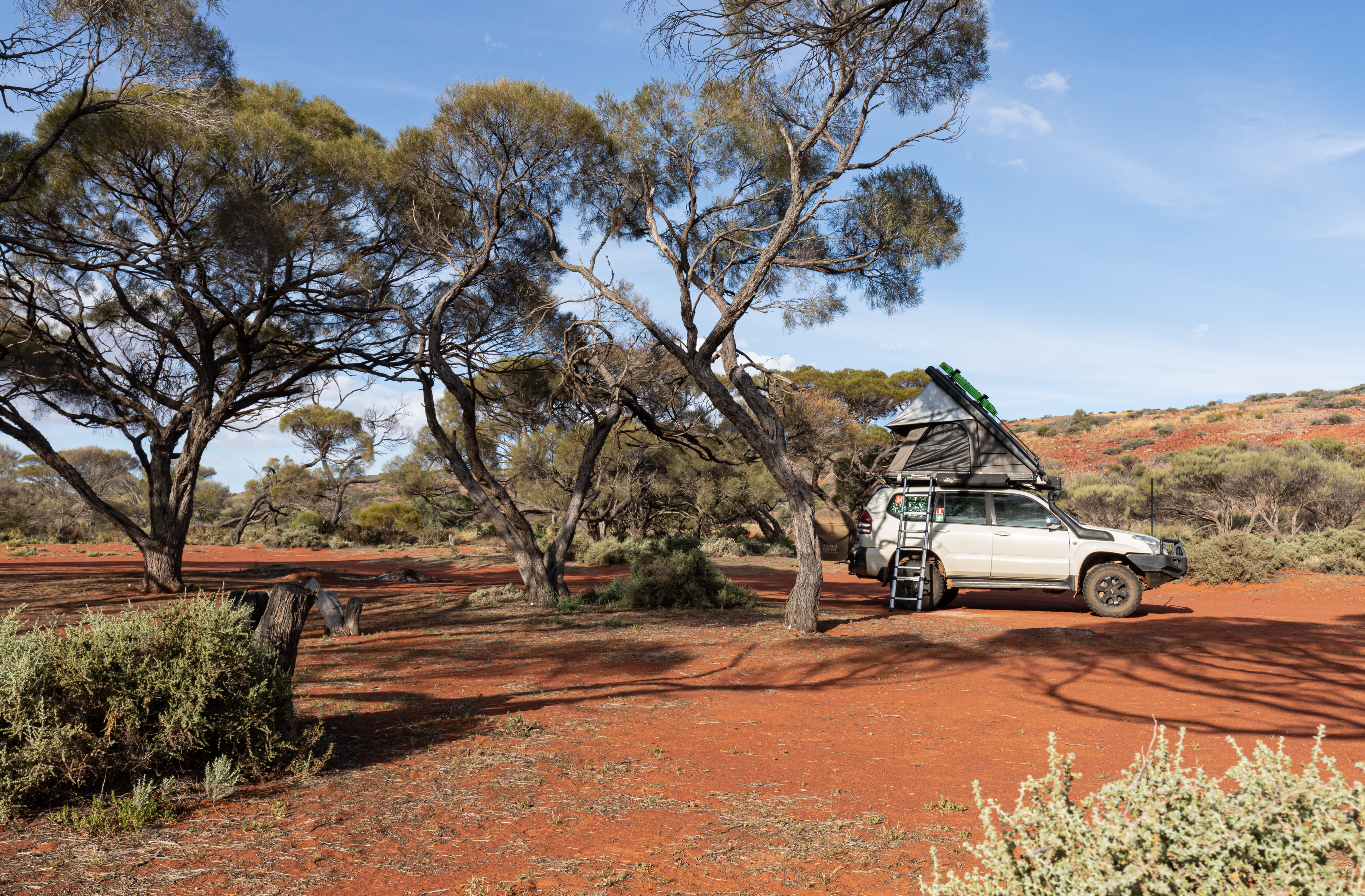
It only took us 90 minutes to reach the Waltumba Tank Campground beside Lake Gairdner, by which time lunch was perfectly cooked.
It was nice to sit back and relax in the shade of the gidgee with the only sounds the birds singing and the flies buzzing. We had a very relaxing afternoon before enjoying some Moroccan lemon and spice chicken thighs (thanks Harry Fisher) and then heading to bed early.
11
I awoke to a peaceful dawn with the flies still asleep along with Mick, so it was just me and the birdcalls. No crows or spinifex pigeons, just small tweeters that put a smile on my face. I took a drive to the small parking area at the end of the track and followed the walking trail to the top of the nearby hill. It was a bit of a climb but the views from the top over Lake Gairdner were spectacular, and certainly worth getting up early for.
Eating brekky wasn’t entirely enjoyable due to the mass of flies that joined us for bacon, eggs and mushrooms on English muffins, and I don’t think I’ve ever eaten so fast.
Once the camper trailer was packed up, we checked out the old Waltumba Tank and were surprised to find the hand pump still worked, although the water was very rusty to start with. We ended up filling the RoadShower on the roof of the Amarok as the water would come in handy for washing dishes and such.
11
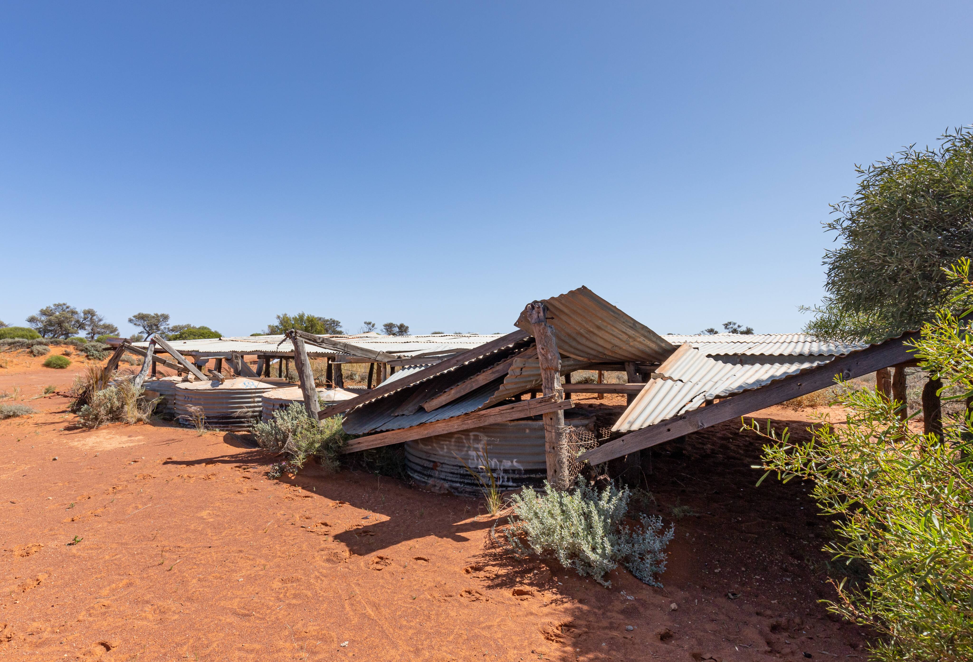
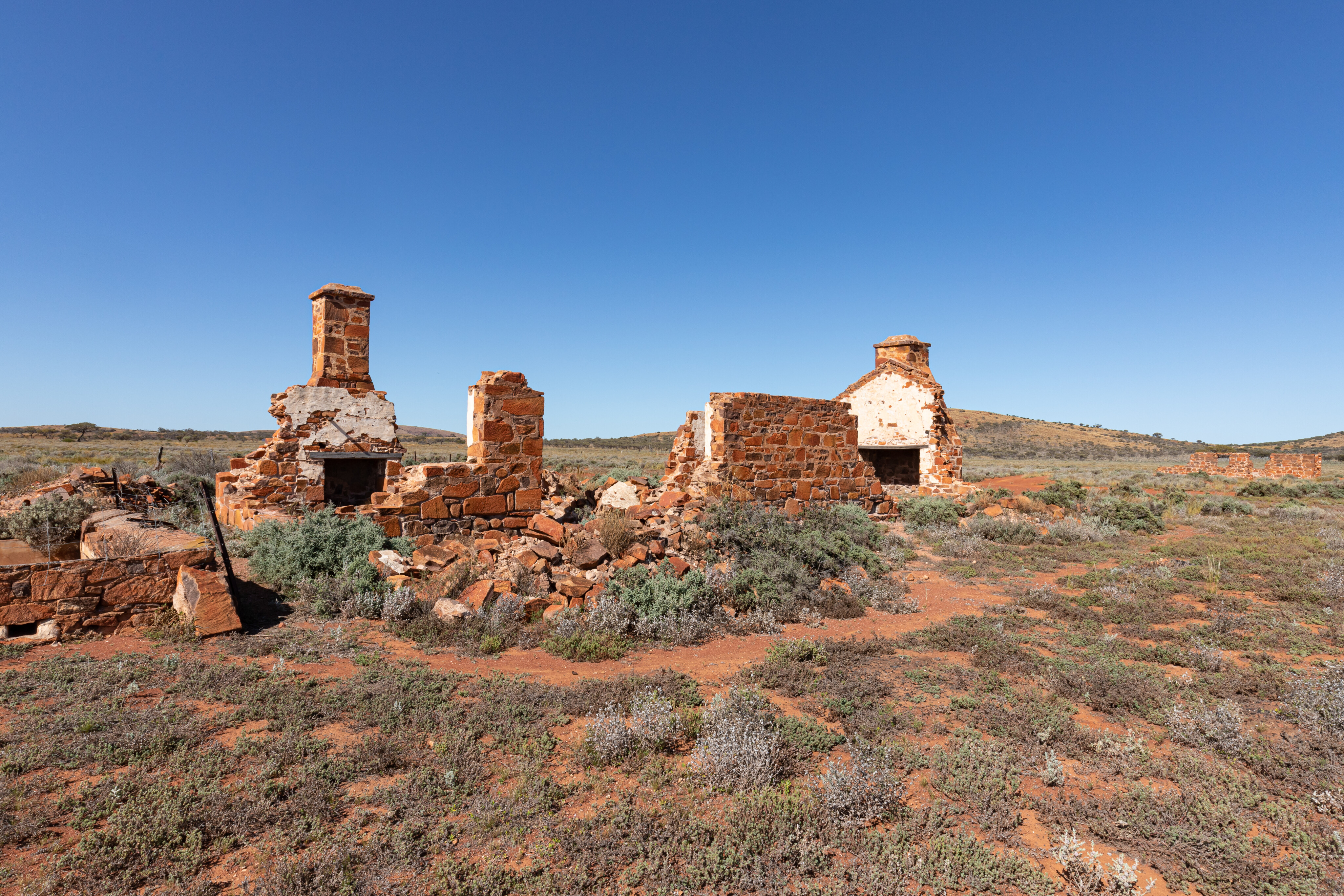
We continued south along Skull Camp Tanks Road before stopping to explore the Pondanna Ruins where a shearing shed, quarters and cookhouse were constructed around 1880. It would have been a harsh livelihood out here back in the day, so remote and so lonely.
Entering the park
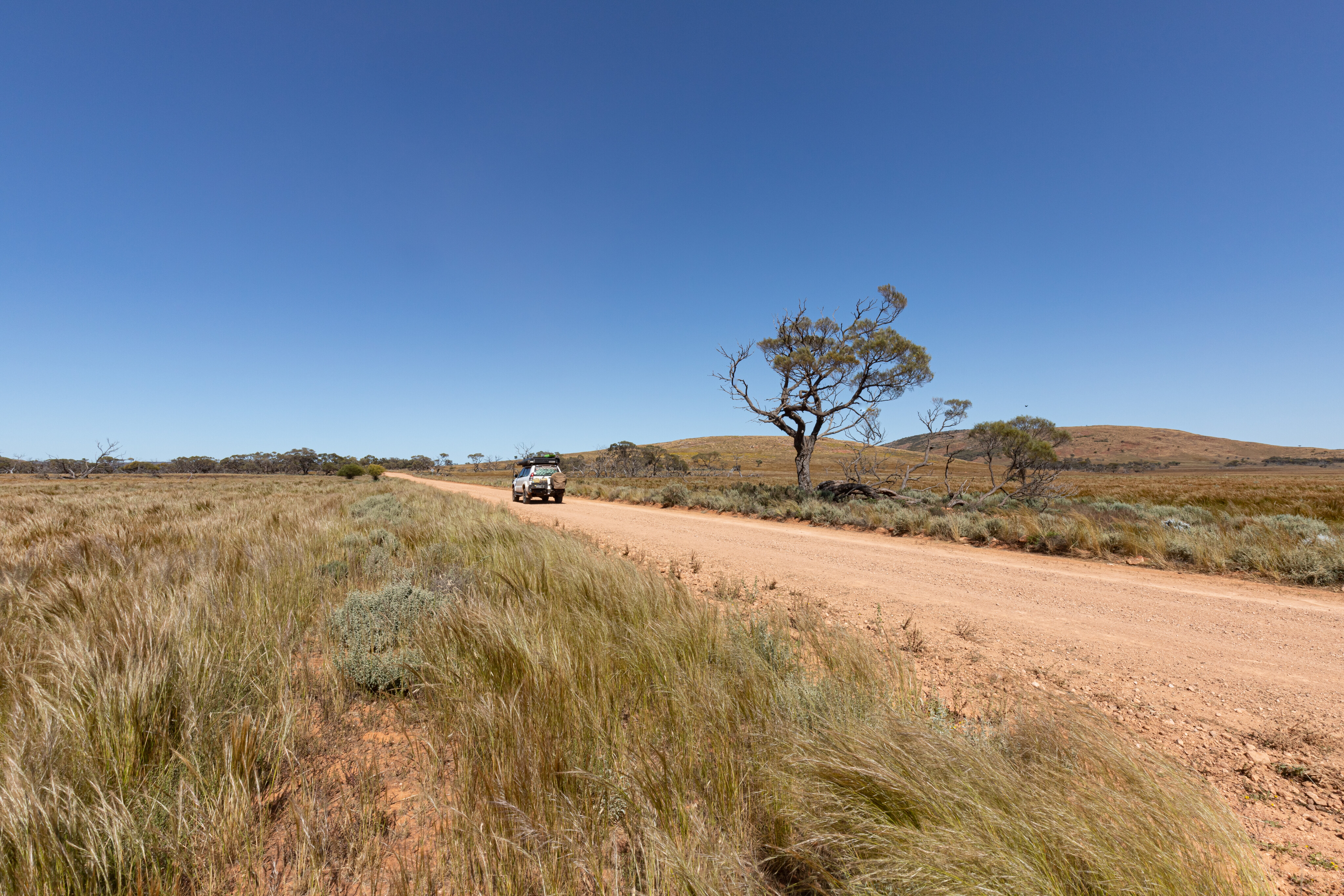
Following Hiltaba Road we tracked towards the Gawler Ranges where the flat plains became hillier.
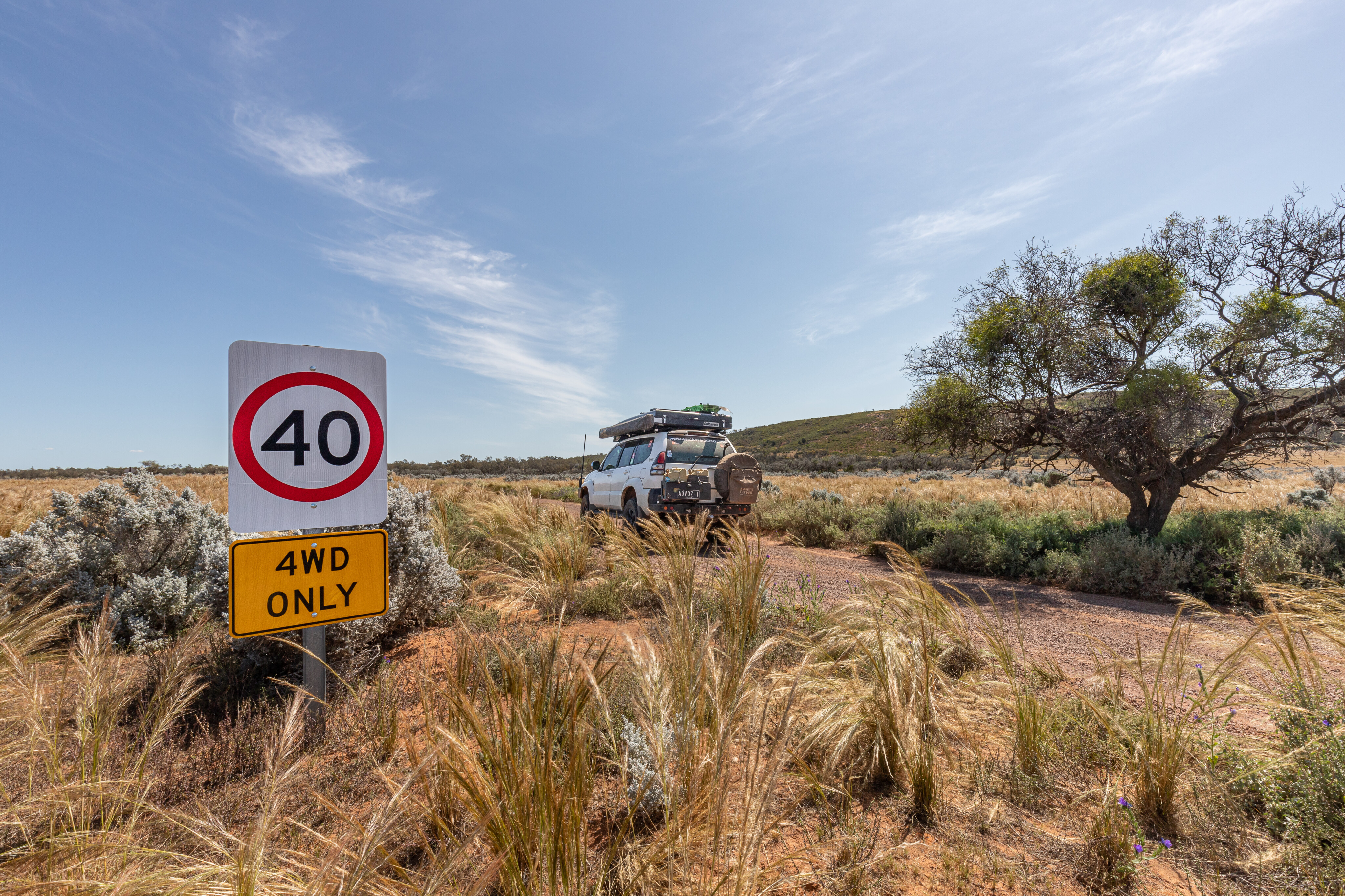
We turned southwest just past the homestead and the track led us into the Gawler Ranges National Park. Reaching the Yandinga Campground track, we decided to find a good site and unhitch the camper before exploring the area more thoroughly.
11
Back on the road, we made the call to head south to the township of Minnipa so we could fuel up the Amarok and top up our water and supplies. I was disappointed to find that neither of the two water points marked on WikiCamps existed.
Then, not realising it was Sunday, we found that nothing was open, so after cooking up some hamburgers for lunch at a roadside stop,we headed to Pildappa Rock, a place I’d been told about previously.
Geological marvels
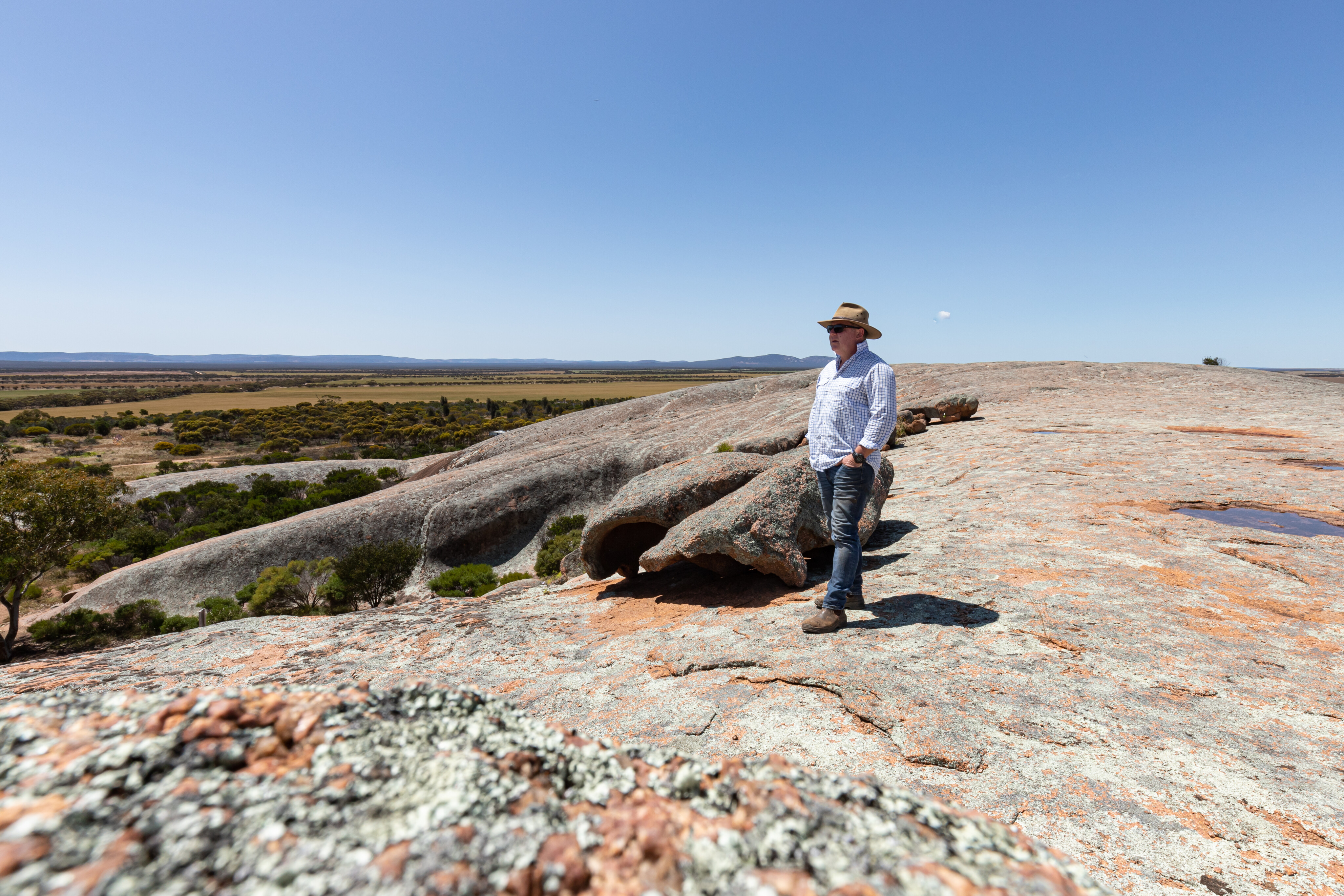
Pildappa Rock is a unique pink inselberg or, in layman’s terms, an expansive exposed granite outcrop with the highest and longest wave formations on the Eyre Peninsula. Only 15km off the highway from Minnipa, it is a popular free camping area, with plenty of spots to choose from around the rock.
Making our way back to the national park, we took a detour to the Organ Pipes, something the Gawler Ranges is famous for. These rhyolite columns were formed more than 1500 million years ago as a result of volcanic eruptions. It’s an easy 1.4km return walk from the carpark, although you can go the extra mile and climb to the top for some spectacular views.
11
Yandinga Falls has a few walking trail options as you follow the watercourse from the highest point down past some waterfalls. The creek wasn’t flowing when we were there though, so with little to experience, we headed back to camp to set up and relax by the fire. I cooked up another delicious Harry Fisher recipe, this time a pepper and pecorino fettuccine, and we washed it down with a glass of red.
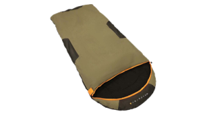
Camping Buyers' Guides


The next morning, we packed up camp and made our way to Peterby Rockhole, an important place for indigenous people who used to hunt kangaroos, euros and other animals that came here for a drink. Not far away is Stone Dam, which is a good early-1900s example of how European settlers trapped water for livestock, but is now little more than a relic of a bygone era.
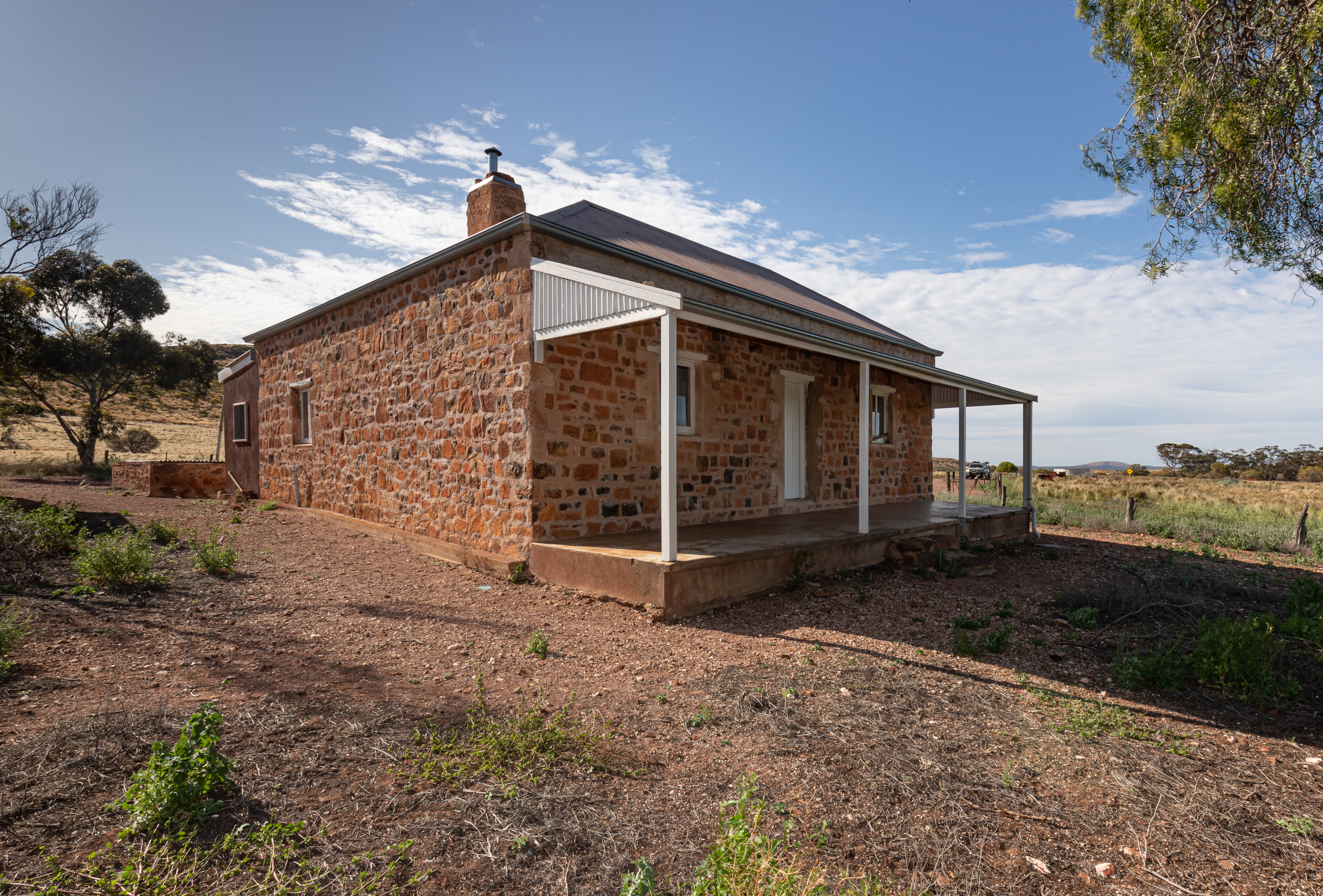
Old Paney Homestead was a blast from the past and we spent a couple of hours exploring this site and poring over the information boards. Thought to have been built in the 1870s by the respected pastoralist William Crawford, Old Paney did very well for some years before drought, low wool prices, rabbits and dingoes made life too difficult to get by here, and by the 1900s Crawford had abandoned Old Paney.
11
Continuing along the Old Paney Scenic Route, we decided to divert onto Mattera Track to see where it would take us. Mattera Campground is a good place to base yourself if tackling the steep, unmarked route to the top of Mattera Bluff. The reward is the extensive views across the surrounding ranges.
There is an easier walk around the base of the bluff that is popular with twitchers, while the dispersed campsites are reasonably flat with firepits and a clean drop toilet.
Mattera Track terminates at the junction with LP Track, and turning left leads to Pondanna Outstation, which groups can book out as an accommodation option. We turned right and continued across the plains before a nice climb over the range near Kolay Mirica Falls.
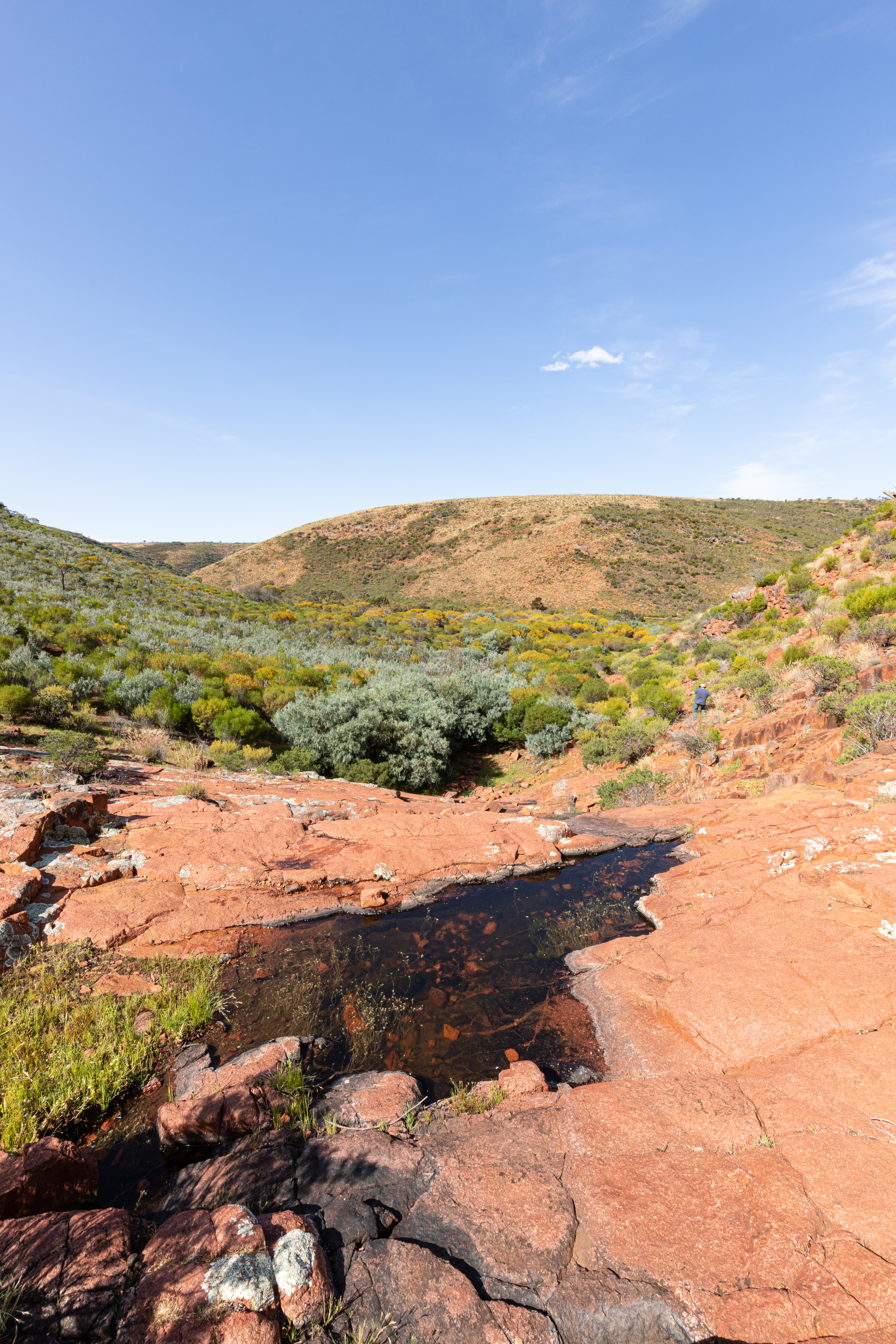
The Kolay waterhole was hard to spot due to the plant growth and only a trickle of water was dribbling down Mirica Falls. This would be a cracking one to see when it is really flowing.
Weather warning
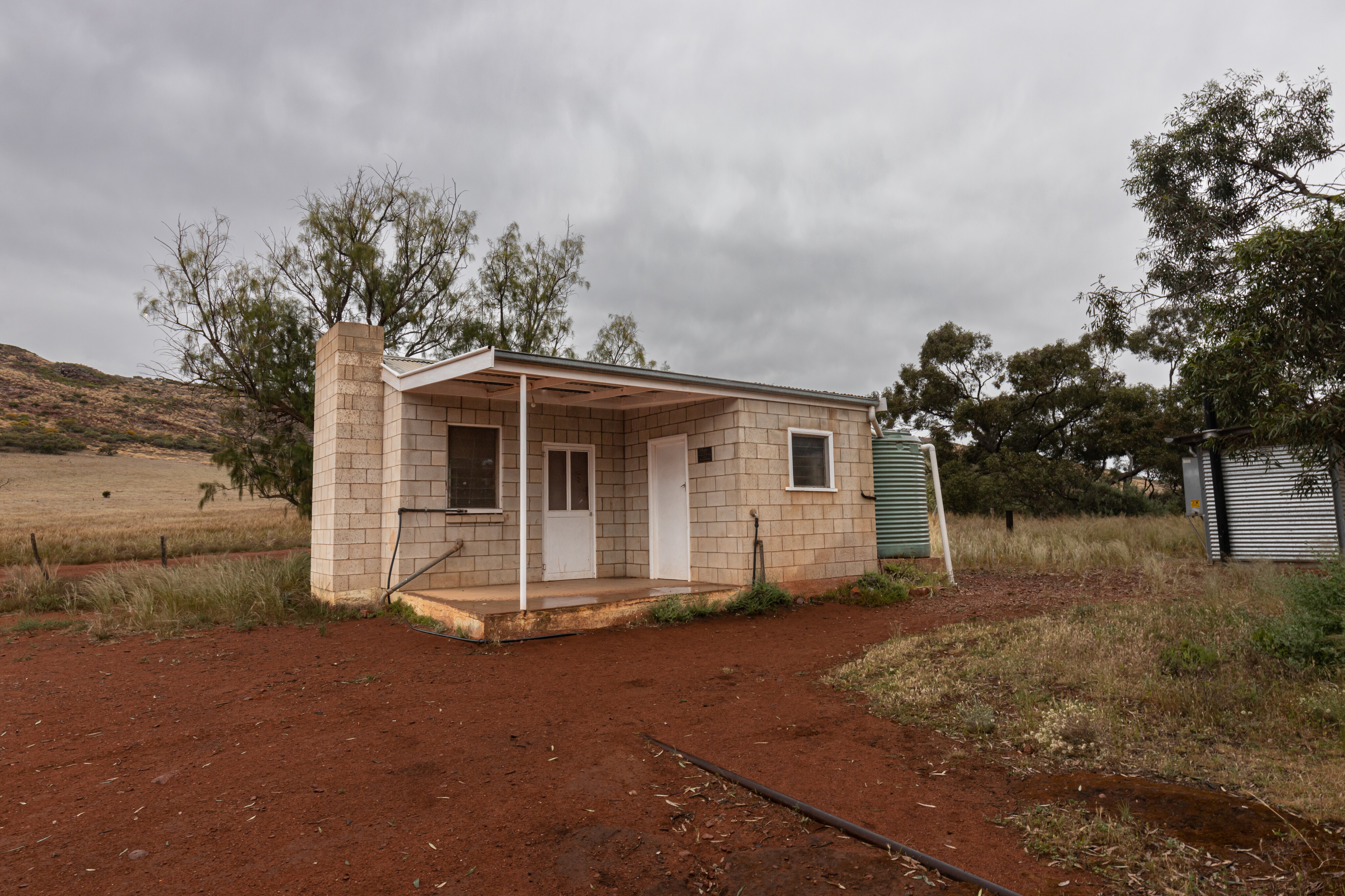
The nearby Kolay Hut was our campsite for the night… or so we’d planned. After dropping the Patriot camper off, we continued along LP Track before reaching the Paney woolshed and shearer’s quarters. Despite shearing ceasing here back in 2001, the smell of lanolin within the shearing shed was almost overpowering.
This is another place you could spend an hour or so reading through the many information boards dispersed throughout the shed and yards; they are very descriptive and explain the heritage of life on a sheep station for both whites and indigenous people.
11
There is 3G phone coverage at the shearing shed so it was a good time to check in with loved ones. Roxy advised me that heavy rain was forecast for the area and after checking the weather app and seeing the aggressive storm front approaching, Mick and I agreed it was time to get the hell out before the roads might be closed.
We zipped back to Kolay Hut via Turkey Flat Track, a route that wends its way through a couple of creek beds before opening up and heading across the plains. It started raining as we approached camp, and we quickly hitched the camper to the Amarok.
The rain was heavier as we passed the shearing shed for the second time that day, and mud was flying as we turned onto Par No. 11, which led us the 26 clicks out of the national park and on to Buckleboo Road.
11
We made our way to Mt Ive Station as the rain continued to fall, as we decided this would be a better place to be stranded if the roads were closed. With accommodation options and a bar, this was a better option than sleeping in a wet rooftop tent, and while we were disappointed we couldn’t spend another night or two bush camping, sometimes it is better to be safe than sorry.
Gawler Ranges National Park is a great place to spend a few days, especially when the creeks are running and the falls are flowing. It was very lush when we were there, a rare sight indeed, and with recent rains this is a good time to go and check it out for yourself – you won’t be disappointed.
Travel planner
Region: Gawler Ranges, South Australia
Nearest town: The park is 40km north of the Eyre Highway and road access is from Iron Knob, Kimba, Wudinna or Minnipa.
When to go: The cooler months from April to September are the best times, but access can be restricted after rain.
Access and camping fees: A vehicle entry pass is required, currently $12.50 per vehicle per day. Camping fees are currently $13.50 per campsite per night. All fees must be paid online before entering the park.
11
Camping:
- Chillunie Campground: 4WD access only, suitable for tents and camper trailers.
- Kolay Hut Campground: 4WD access only, suitable for tents and camper trailers.
- Mattera Campground: 4WD access only, suitable for tents and camper trailers.
- Scrubby Peak Campground: 4WD or high clearance 2WD, suitable for tents, camper trailers and caravans.
- Waganny Campground: 4WD or high clearance 2WD, suitable for tents, camper trailers and caravans.
- Yandinga Campground: 4WD or high clearance 2WD, suitable for tents, camper trailers and caravans.
What to take: Air compressor and tyre gauge, tyre repair kit, first aid kit, firewood, food and water.
Difficulty: A 4WD is recommended to enjoy the best bits of the park while the roads are well maintained.
Contacts: NPWS South Australia: www.parks.sa.gov.au/parks/gawler-ranges-national-park#about; Outback Road Warnings: dit.sa.gov.au/OutbackRoads
Top five spots in the Gawler Ranges
- Old Paney Homestead
- The Organ Pipes
- Paney Woolshed
- Kolay Mirica Falls
- Pildappa Rock (not in the National Park but not far from it)
Please enable JavaScript to view the comments powered by Disqus.
COMMENTS