Explore QLD
Gallery9
Cleared mine areas are in evidence as you approach Weipa, where the sudden appearance of traffic lights might be a bit startling… and the last thing you would expect after long distances behind the wheel.
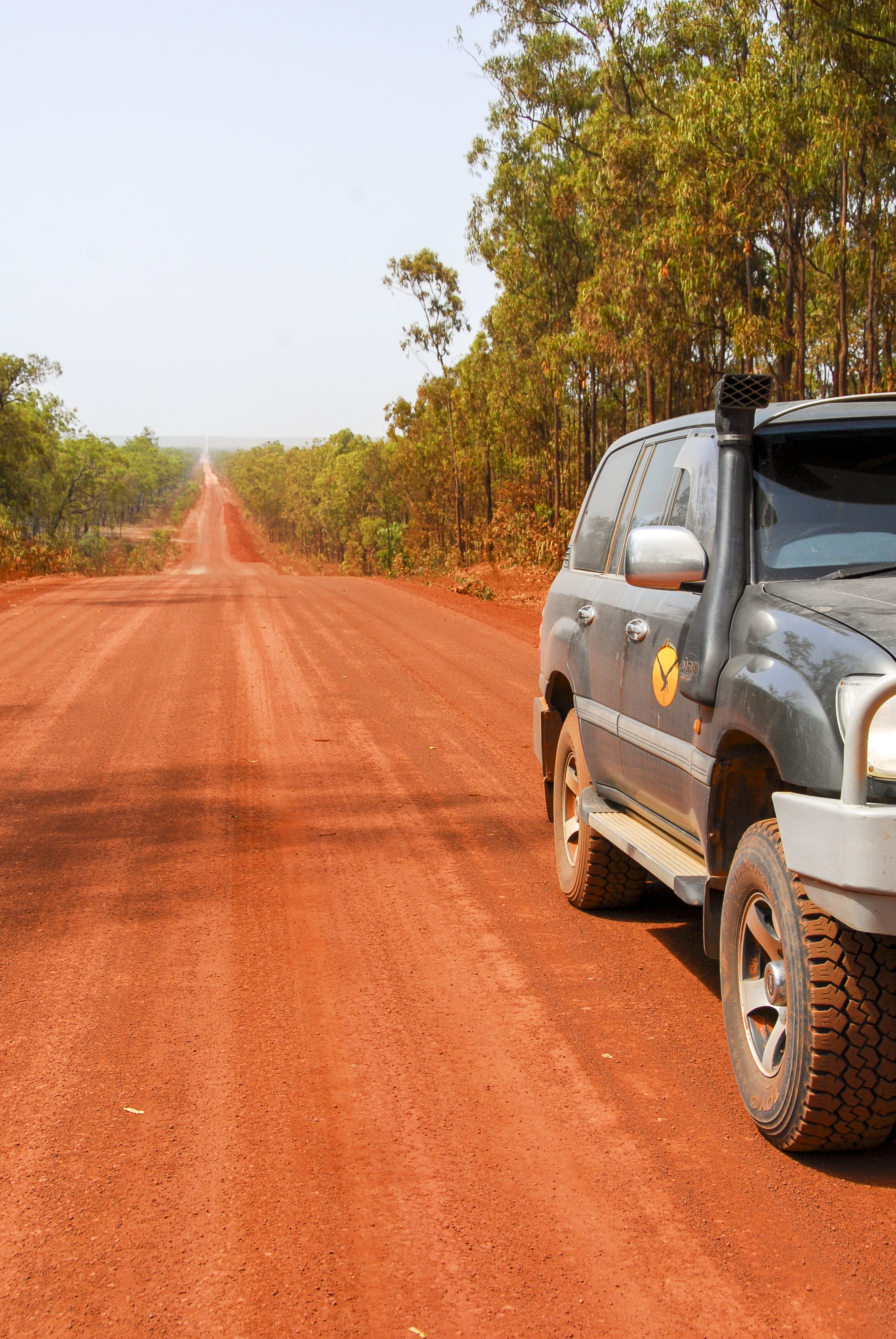
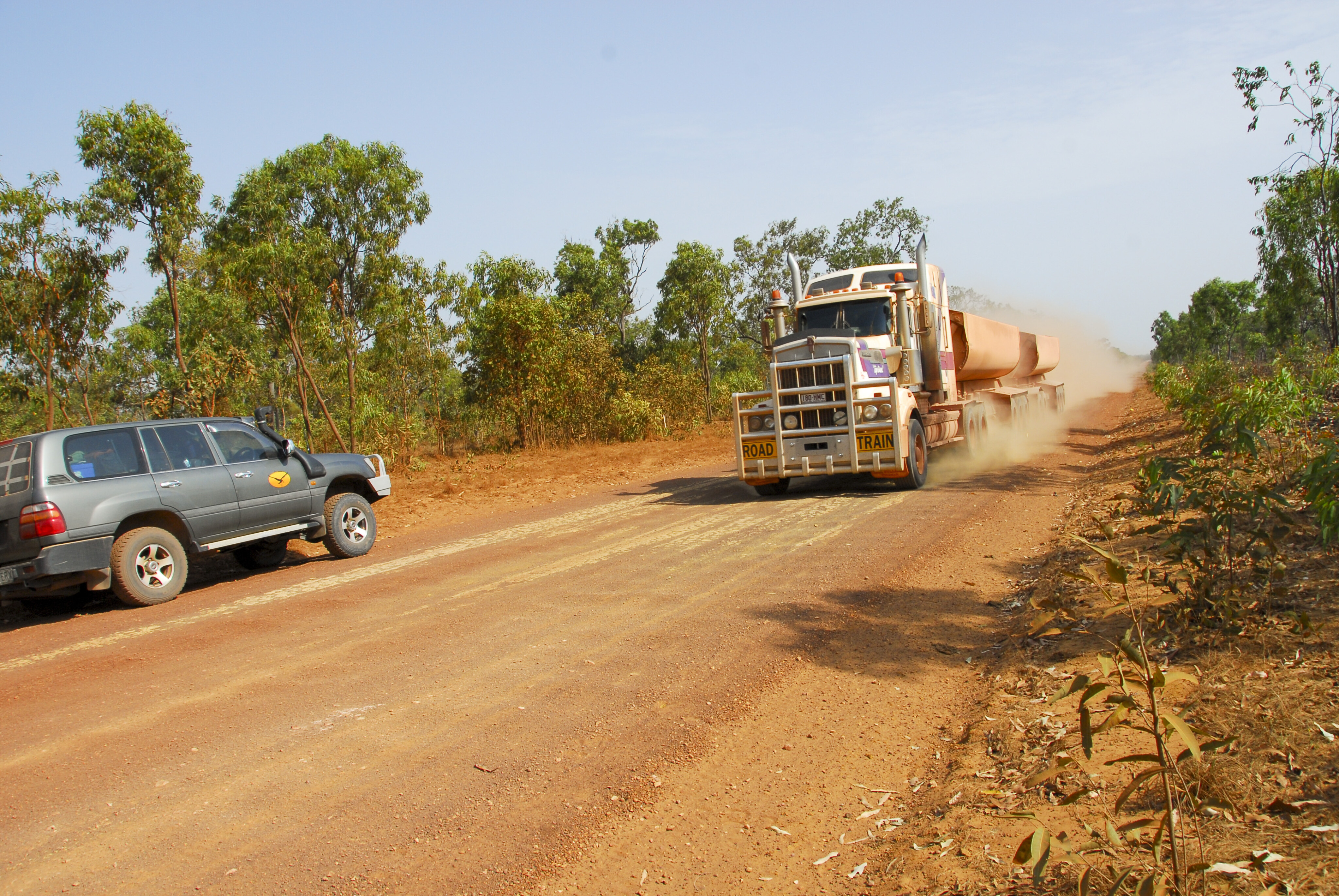
After all, Weipa is situated at the end of the Peninsula Developmental Road (PDR), some 850km north of Cairns.
You had better stop on a red signal though, as 110-tonne loaded scrapers travel along this stretch at 60 clicks. I once saw a Nissan Patrol that had been run over by one of these at Mount Isa… and it wasn’t a pretty sight.
9
Weipa history and facilities
Weipa has a population of 3000, and it was founded on rich deposits of bauxite, the raw material for aluminium.
Mining has been ongoing here since 1962, and it will continue to thrive for many more years, with more than 3.5 billion tonnes of ore remaining unmined.
The mining is performed by clearing the monsoon woodlands and the topsoil from the underlying 2m-thick deposits, scooping up the ore with scrapers and bulldozers, and washing and shipping it to smelters at Gladstone in massive ore carriers. The topsoil is then returned and the disturbed area is revegetated.
9
While the PDR is graded after each Wet, enough corrugations remain that you will soon form an appreciation for Weipa’s bitumen roads. As well as several workshops and garages, the town boasts a modern shopping centre, so it is a good place to get repairs done, do some shopping, relax a little or drop a line with one of the local guided fishing operations.
Mine tours are also available. If you have never done a mine tour, those on offer at Weipa will no doubt amaze you with the sheer scale of the equipment used in the mining operation, which is used to dig out about 16 million tonnes of bauxite a year depending on demand.
There are plenty of other activities on offer in Weipa too, including golf, bowling, cricket, pistol shooting, football, scenic flights, boar hunting, birdwatching and, of course, the fantastic fishing the region is famous for. Many people live in Weipa solely for the fishing and the hunting.
9
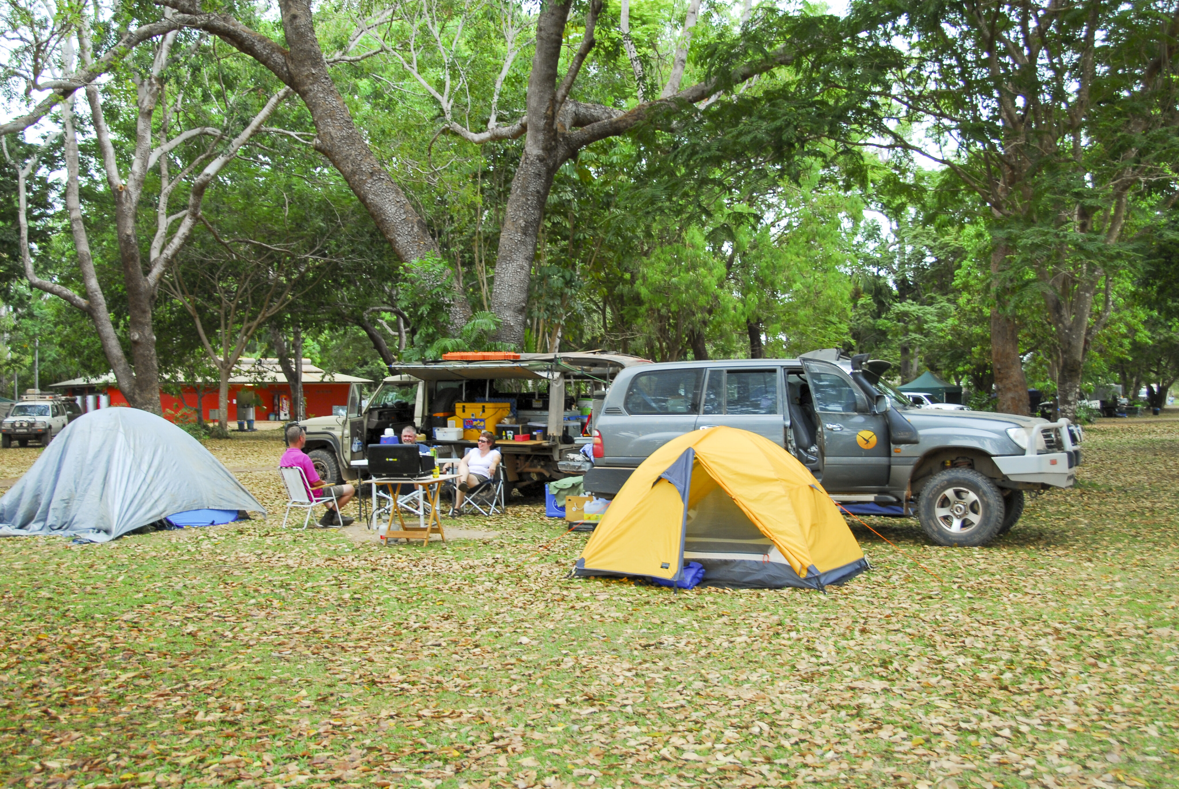
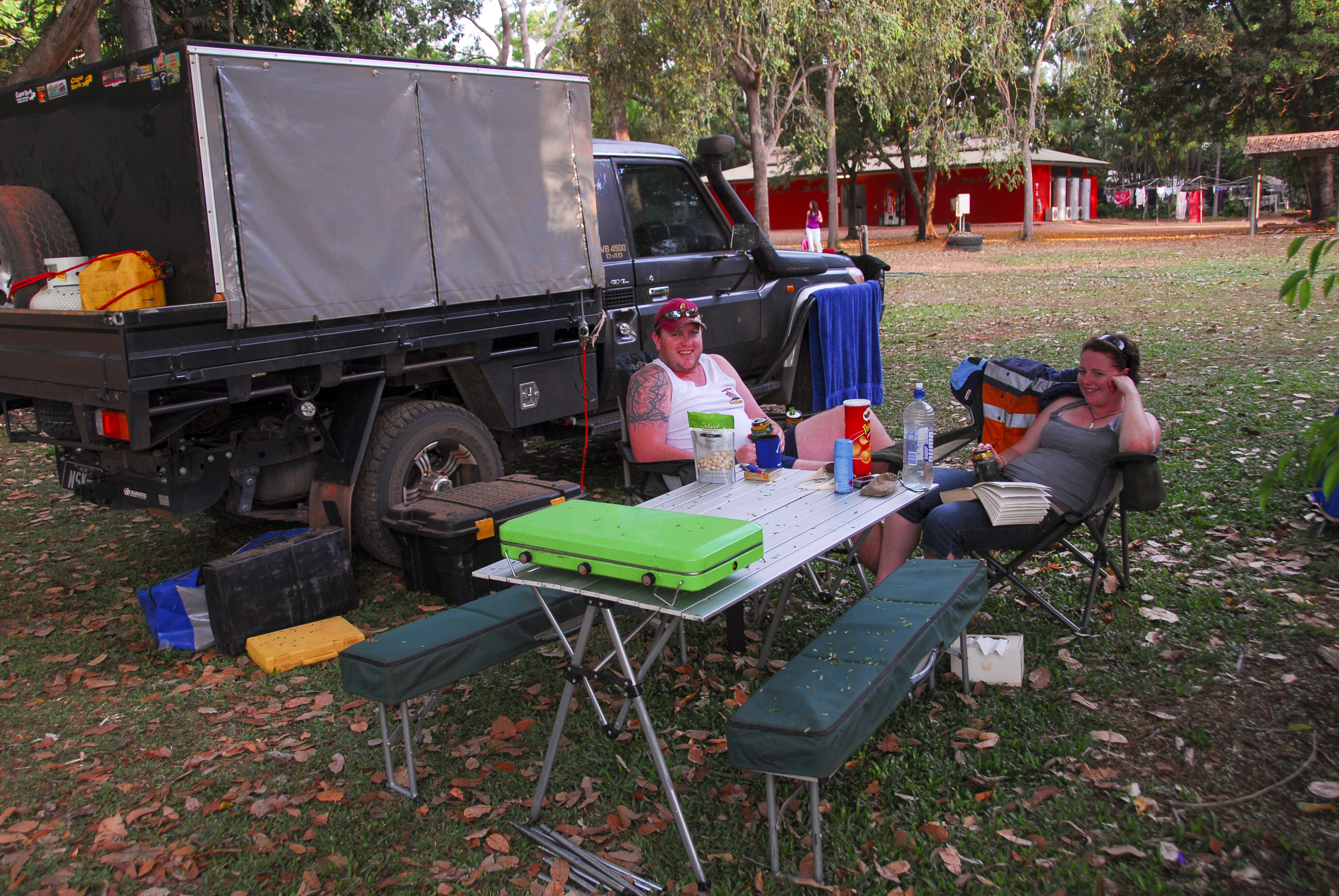
The well-appointed Weipa Camping Ground on Albatross Bay is a bit crowded in the dry season, but by avoiding the busy period between June-August you may find that you have plenty of elbow room. The dry season school holidays are very popular with families that come here for the fishing. The campground office is a booking agent for mine and fishing tours and can arrange permits for Mapoon, Pennefather, Aurukun and Stones Crossing.
Other accommodation in Weipa ranges from motels, lodges and B&Bs. For something different, Weipa Houseboats can accommodate up to 10 people and is a lot of fun if fishing is on the agenda. Bring a couple of mud crab pots for a change of diet.
Weipa North
For the non-anglers, there is still plenty to see and do; the sand dunes and beach driving to the Pennefather River estuary and campground, the Cullen Point campground at Mapoon, and the Jamie Creek Turtle Conservation Camp en route are just some of the wonderful places to visit.
There is some wonderful scenery and wildlife to take in in this tranquil wilderness, while Cullen Point has a great campground with water, showers and toilets present, and a bitumen road from Mapoon to the point. If you run out of tucker, the community store has plenty and fuel.
As well as a boat ramp, Jamie Creek also has camping, and you may be able to take part in the local turtle-rescue project, which involves the removal of discarded commercial fishing nets from beaches, called ghosts nets, because they kill fish and marine animals.
9
Cullen Point is on Port Musgrave, which is fed by several rivers and creeks, and has wonderful fishing… and plenty of crocodiles. The Wenlock River flows into Port Musgrave but can also be reached at Stones Crossing on the upper tidal reach of the river.
It is a wonderful place to camp, catch a barra on the incoming tide and relax under shady monsoon gallery forest that fringes the riverbank. You used to be able to cross the river and take a shortcut to the Bamaga Road from here, but since the generous Australian taxpayer purchased the property and gave it to the Irwin family to run cattle on, the track has been closed.
Weipa should really be on your travel agenda when heading north. The 3km Batavia shortcut, 72km south of Weipa, is graded and an easy drive to the PDR from Weipa – either coming from the north or heading there.
Captain Billy Landing
A lot of people don’t rate Captain Billy Landing and Chili Beach for fishing due to high winds. Sure, this can be a problem if you want to fish the east coast, but there is much more to see and do here than just fishing. The best time to fish the east coast and escape the wind is just after the wet season and in the latter part of the dry season from late-September onwards.
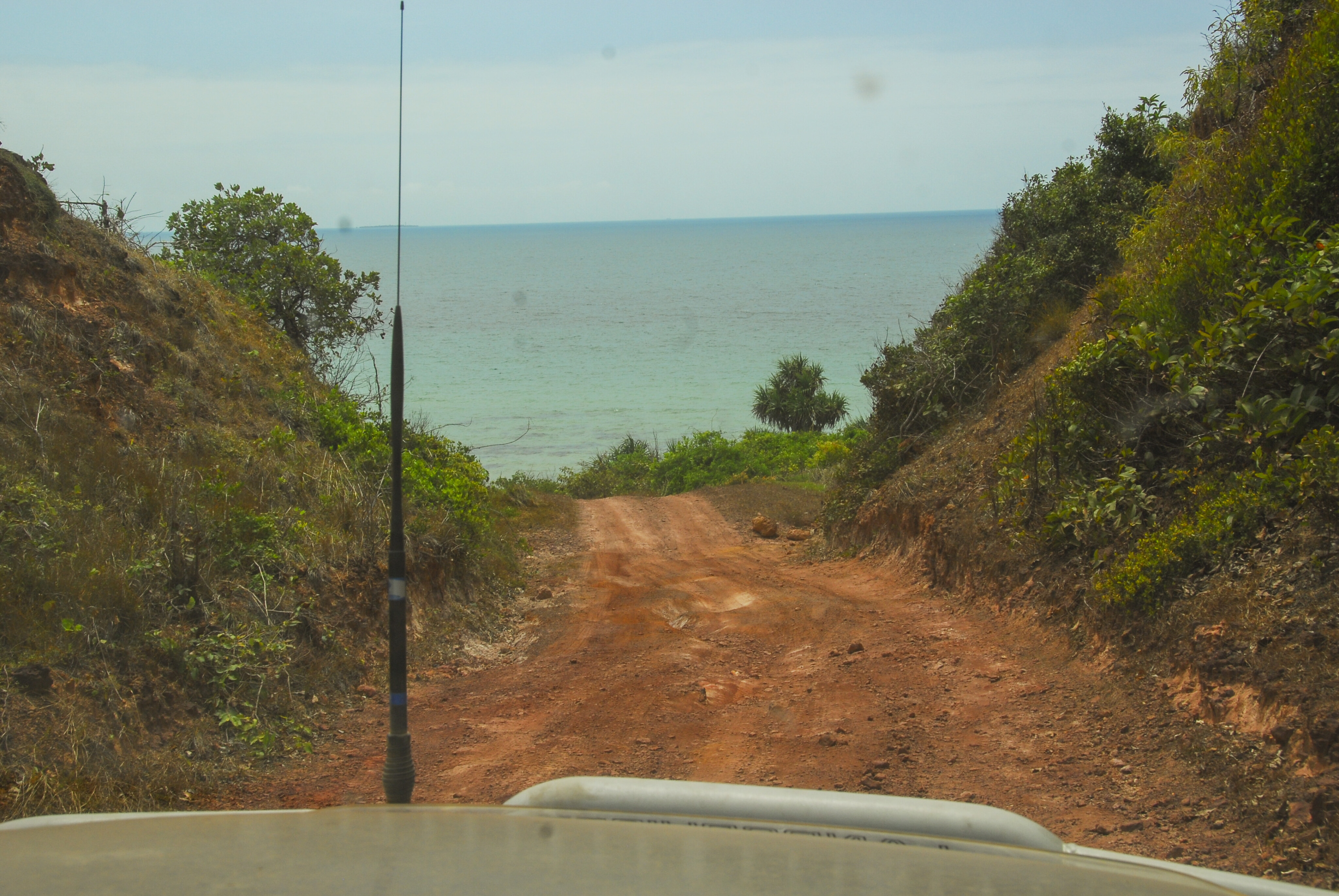
The lagoon extending out from Captain Billy Landing may be the best fishing hole on Queensland’s east coast thanks to its designation as a yellow zone (recreational fishing only), and the fact it’s totally surrounded by the largest green zone (no fishing) in the Great Barrier Reef Marine Park. That alone makes it a worthwhile turn-off from the Bamaga Road – 6km north of Bramwell Junction – onto the 27km landing track.
9
In addition, this is one of the best nature drives on the peninsula. The area is part of the Heathlands Resources Reserve, in what the early explorers dubbed the Wet Desert or Badlands. Consisting of heath-covered sand dunes, more than 2000mm of rain falls here every year, and about 90 percent of that in the wet season from October to April. The rain is stored below the sand in the rocks and released sponge-like throughout the dry season.
This is the wettest place in Australia, with more streams born from springs here than anywhere else. Fraser Island promotes itself as being the only place in the world where rainforests grow on sand, but it is not, as the Wet Desert has some fine monsoon rainforests growing on pure sand also.
One of the largest patches of rainforest is where the Bamaga Road junctions with the Captain Billy Landing track. I think there was a failure to understand the importance of this rainforest patch when the road was pushed through; there should have been a diversion around it.
9
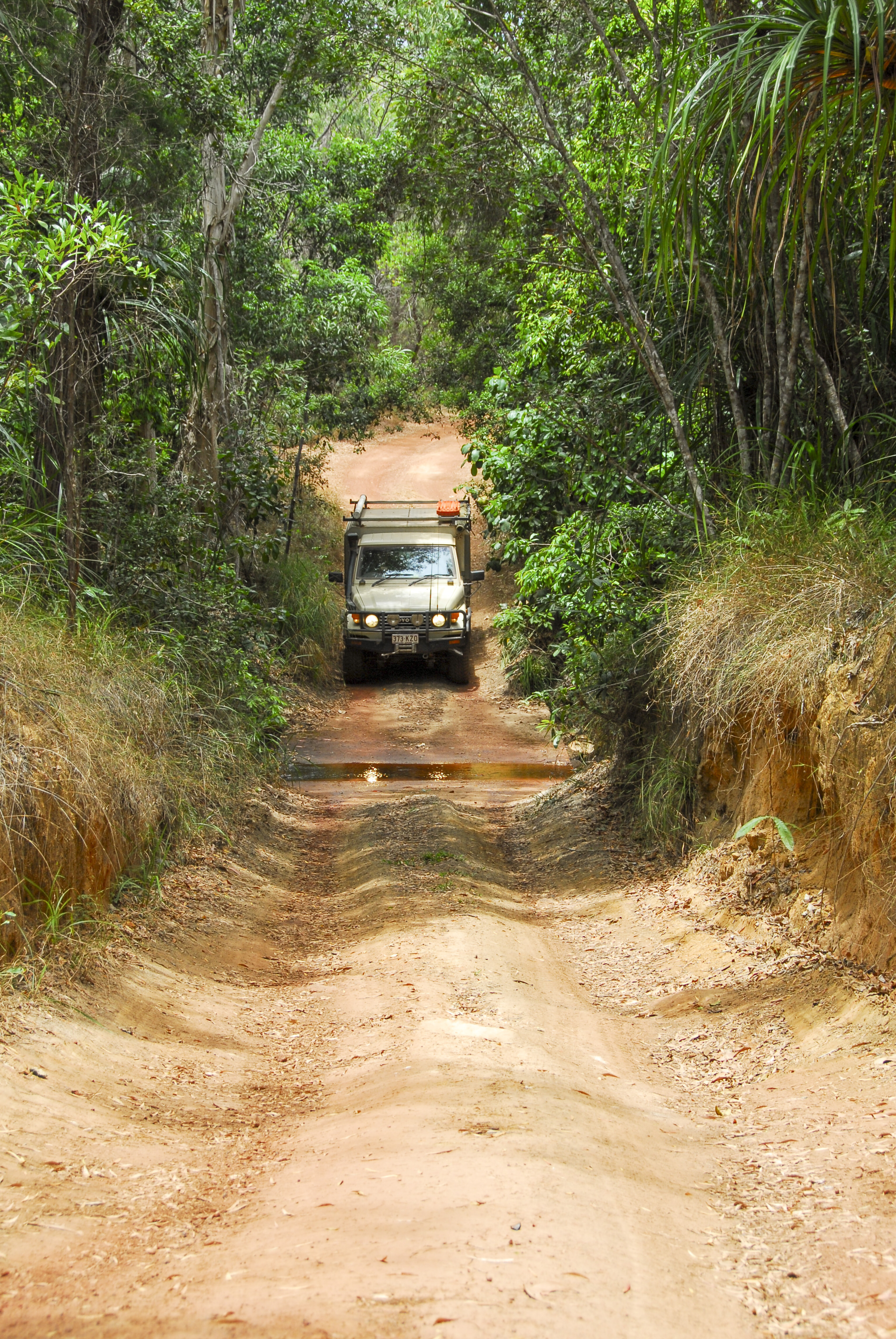
The track runs under the verdant canopy for almost half its length, and it is an amazing birding area, with many sightings and the vociferous noise of our feathered friends will enthral you.
There are speed humps about 150m apart along most of the track to stop erosion from water run-off during the wet season, and these slow the traffic, which in turn aids people in seeing and enjoying the wildlife the peninsula is gifted with. You’ll find that even the open woodlands house a rich variety of species if you bother to slow down, look and listen.
A lookout from the top of the Richardson Range (8km) offers sweeping panoramic views of the Olive River dunefields, Temple Bay and the Great Barrier Reef. If you have a GPS or a compass, you can walk down to where both the Jardine and McHenry rivers are born from bountiful swampy springs a couple of kilometres north of the lookout. It’s tough walking country though, so you need to be prepared and have the right gear to undertake walks in the Wet Desert wilderness.
9
Heath replaces the rainforest where the track drops down onto the coastal lowlands below the Richardson Range. There is an open clearing about 18km in, once a resting paddock for cattle herds from Heathland Station. They were held there and loaded on a cattle barge at the landing.
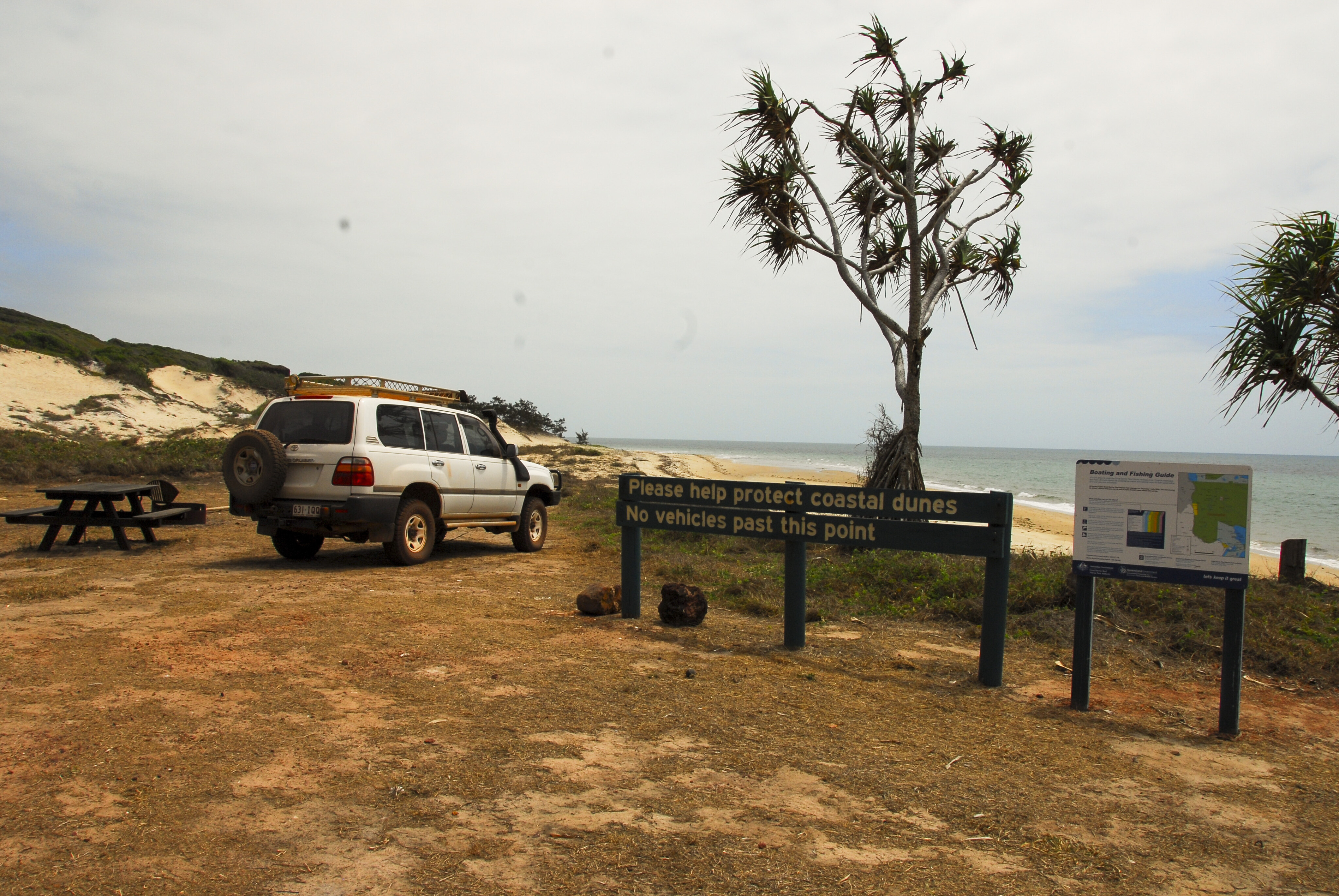
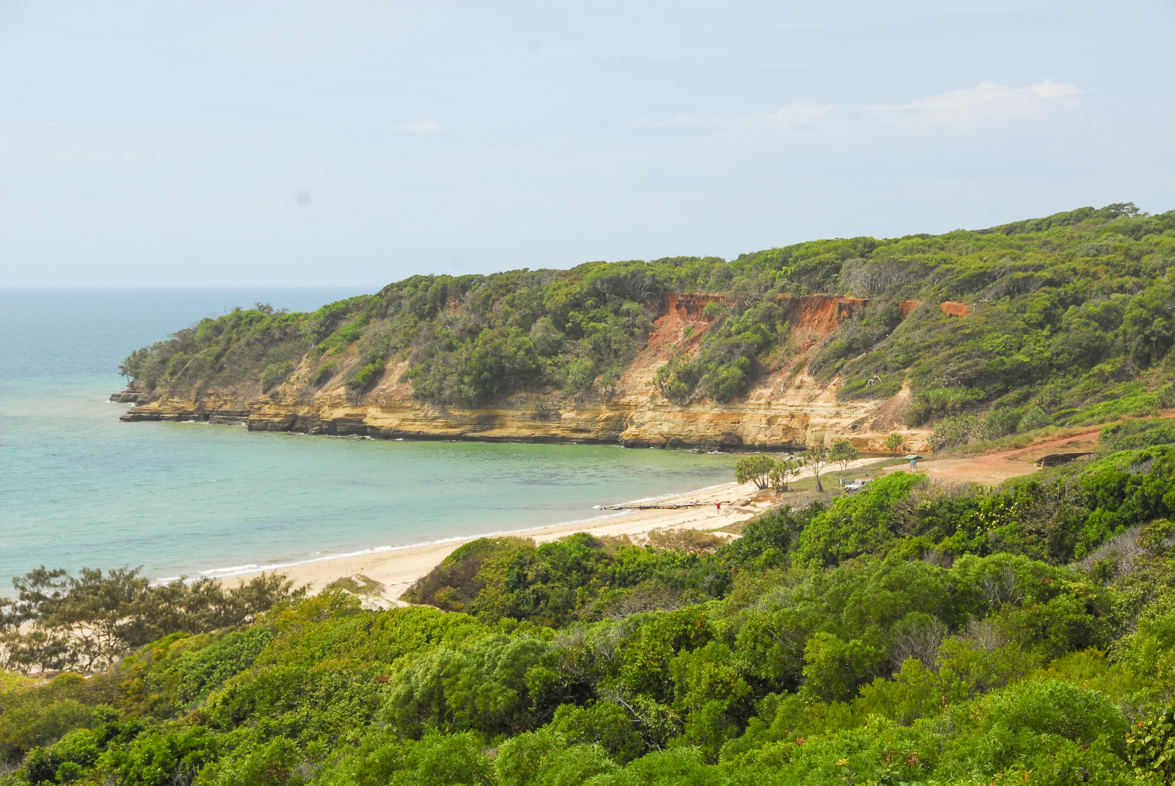
The landing is below a high cliff and there are some imposing views of the Great Barrier Reef lagoon and coastal scenery along the route. There is a toilet and a shelter at the landing, but if the southeast trade winds are blowing a lot of sand is mixed up with it. There is a great beach walk along the dunes to the north, to Hunter Point, and for the adventurers and the fit, walks on the escarpment to the south.
No vehicle access is permitted on the beach as it is an important turtle and sea bird breeding site – and impossible to get off in most places anyway. The old barge landing makes a good boat ramp if the wind is down. There are plenty of fringing reefs about the area and pelagics roaming out wide in the blue water that will tempt fishers.
A challenging past
Government Geologist, explorer and author Logan Jack explored and mapped this region in February 1880, at the height of the wet season. His team had to build dugouts and bridges to cross some of the streams. Horses were bogged and had to be dug out. Everything was wet, fly blown and covered with maggots including saddles, clothing and blankets.
In the rainforest they followed tracks made by the Aborigines and struggled crossing the deep gullies and creeks. Horses “knocked up” and died, or were abandoned, and most were sick from eating poisonous plants. In all they were lucky to escape. They met some natives, a couple who had a smattering of English, probably from working on trepang boats, and their spokesman introduced himself as Captain Billy.
9
He guided the party down to a creek where a large outrigger canoe was moored. Jack named it Captain Billy Creek. Captain Billy turned out to be a treacherous scoundrel and later led the party into an ambush. They opened fire on a large armed war party, about 15 in all. None were hit and the warriors fled.
Jack’s men camped and during the night long spears flew through the air: “One crashed through my neck above the right-shoulder-blade, injuring the deltoid muscle,” wrote Jack.
The spear was cut out with a knife after shots dispersed the war party. Jack described the spear being eight-foot long and fitted with a seven-inch barbed iron rod. It disabled Jack for the rest of the journey. Before they left the ambush site they collected the spears from the tents and burned an “armful.”
Unlike in Jack’s time, visiting Captain Billy Landing is nowadays as easy as turning off the Bamaga Road and into the encapsulated world of the Wet Desert’s monsoon rainforests.
Accommodation
Weipa Camping Ground and Weipa Beachfront Lodge
Ph: (07) 4069 7871
Email: campweipa@bigpond.com
Weipa Houseboats
Ph: (07) 4069 7469
Email: info@weipahouseboats.com.au
Western Cape Centre
Ph: (07) 4090 6800 or 0488 195 559
Rainbow Resort Inn
Ph: 1800 000 548
The Anchorage
Ph: (07) 4069 7535
Weipa B&B
Ph: (07) 4069 9796
Camp Chivaree – Mapoon
Ph: (07) 4069 9978.
Email: info@capeyorkturtlerescue.com


Please enable JavaScript to view the comments powered by Disqus.
COMMENTS