Explore QLD
Gallery35
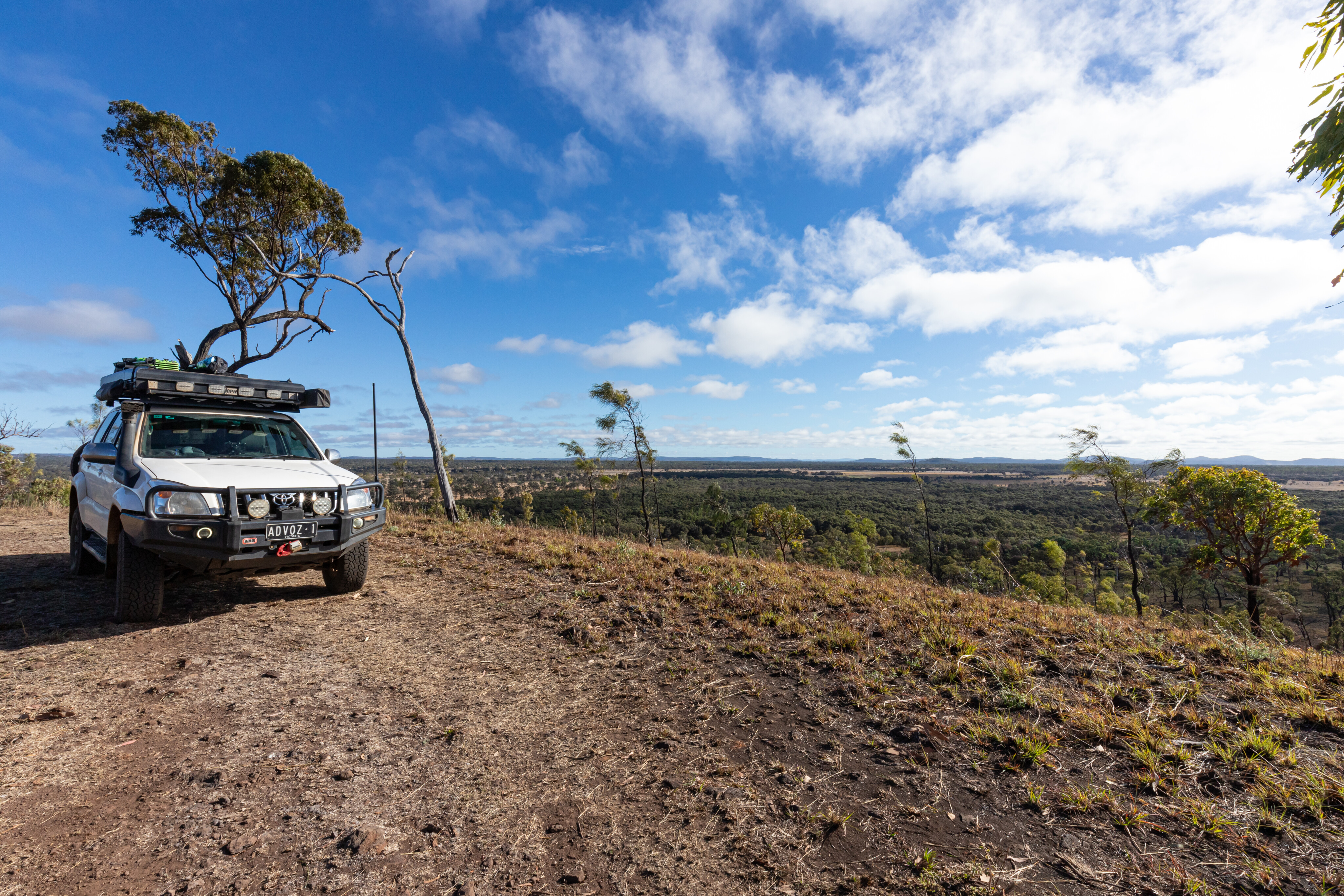
It was a chance discovery and one I was surprised by; while Porcupine Gorge is well-known to many four-wheeling adventurers, its Pyramid camping area is usually very busy, so for those after some solitude in this part of Far North Queensland, setting up camp at Blackbraes National Park, just 120km north of Hughenden, can be a much better option.
Busy Porcupine
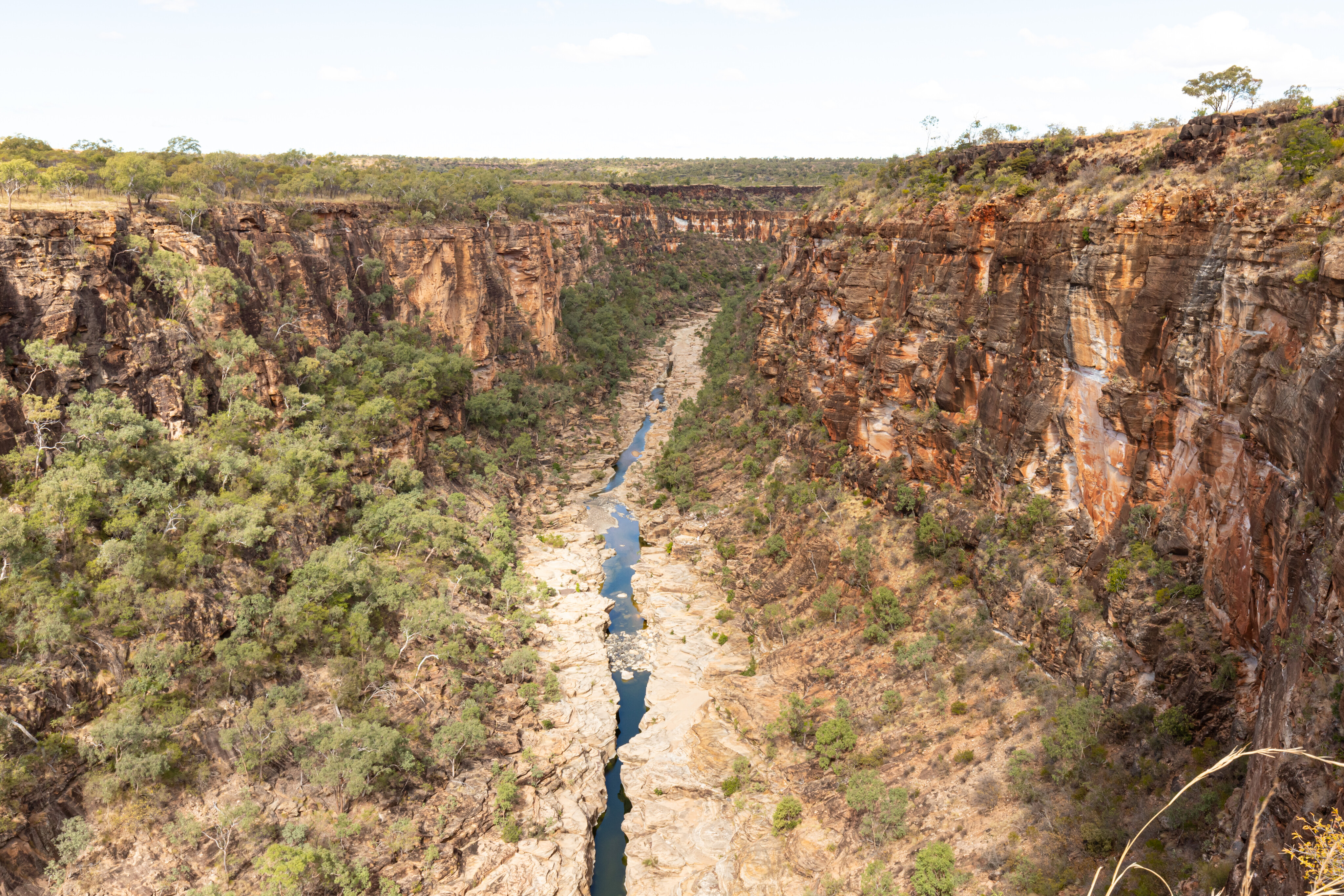
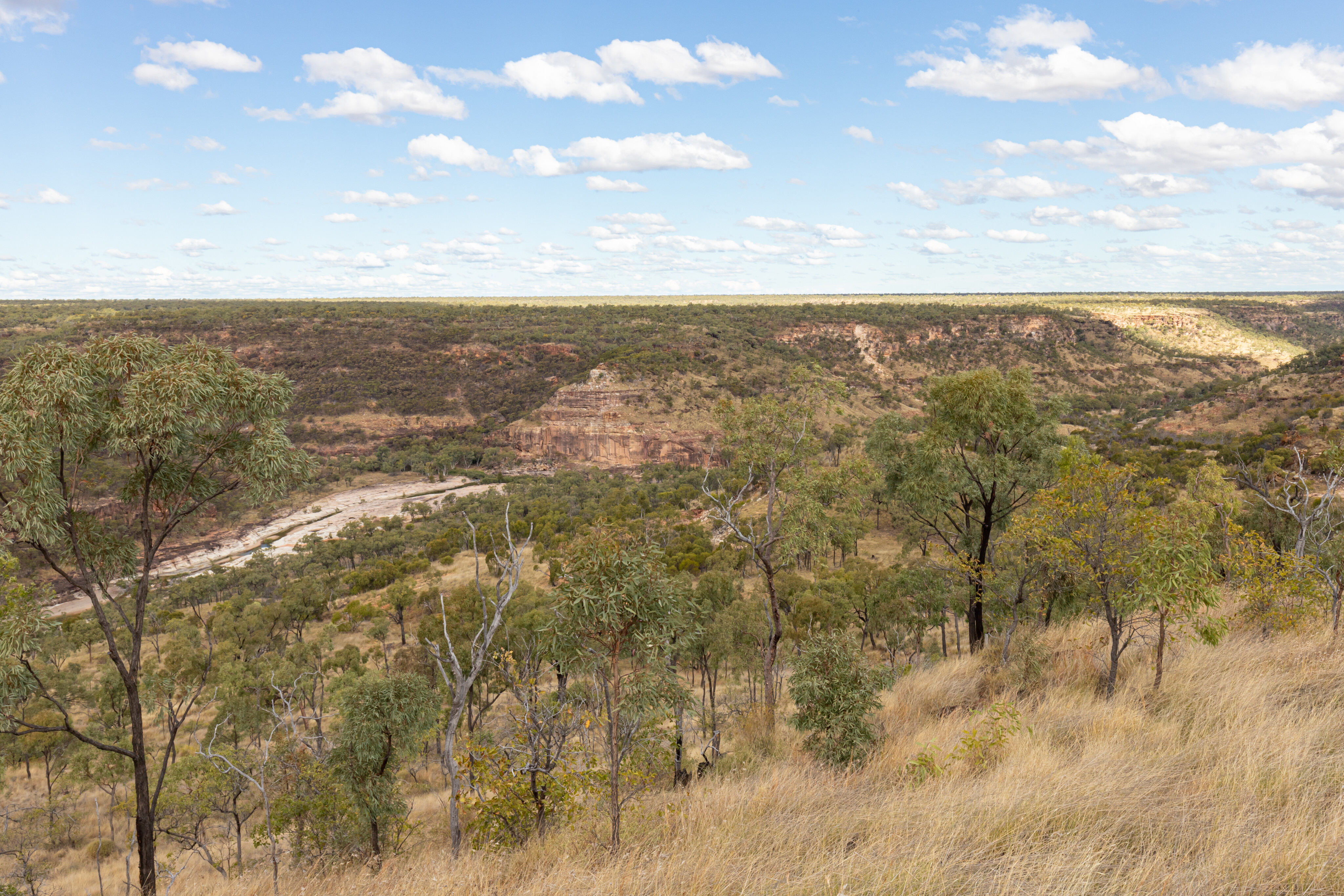
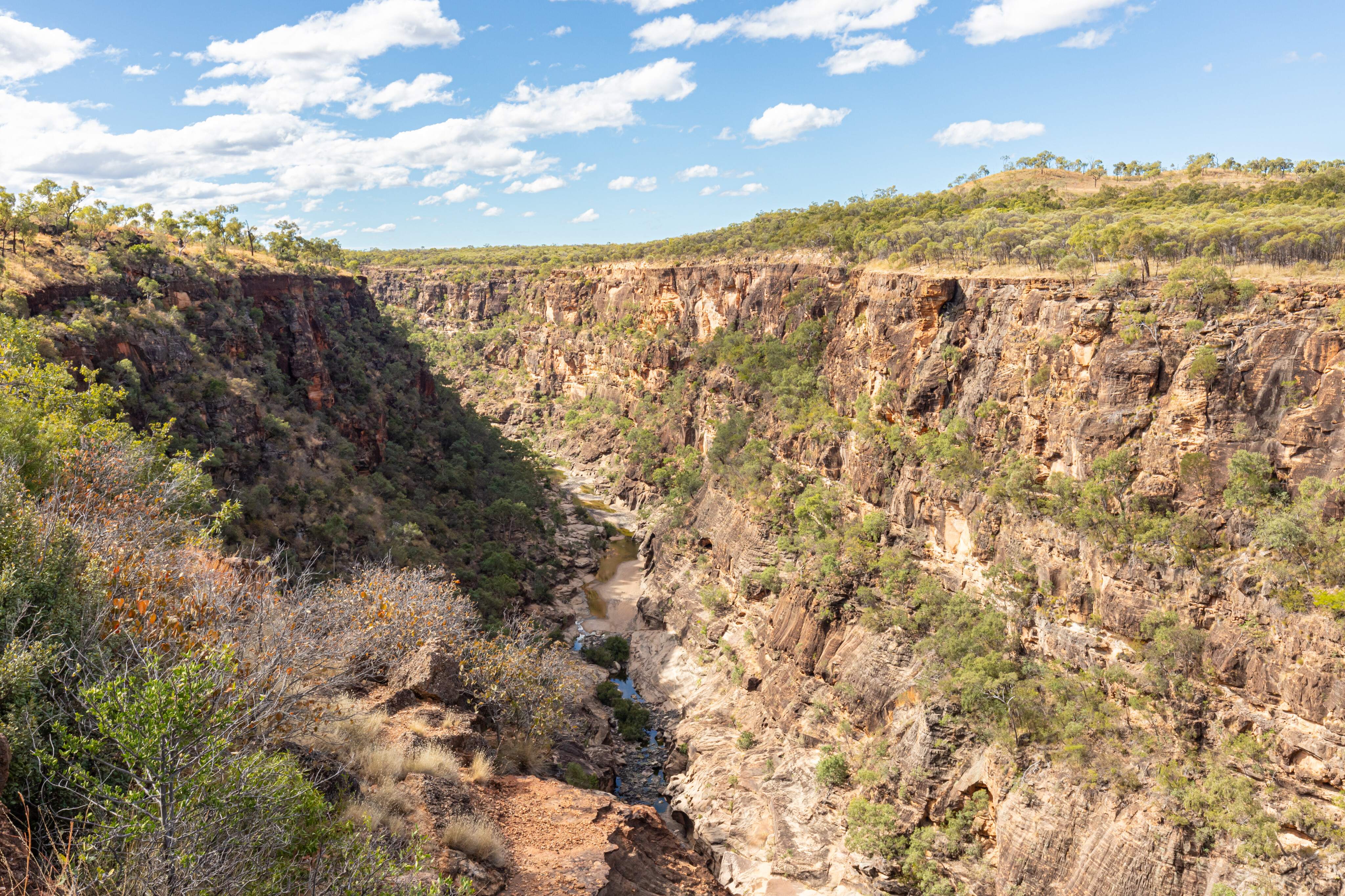
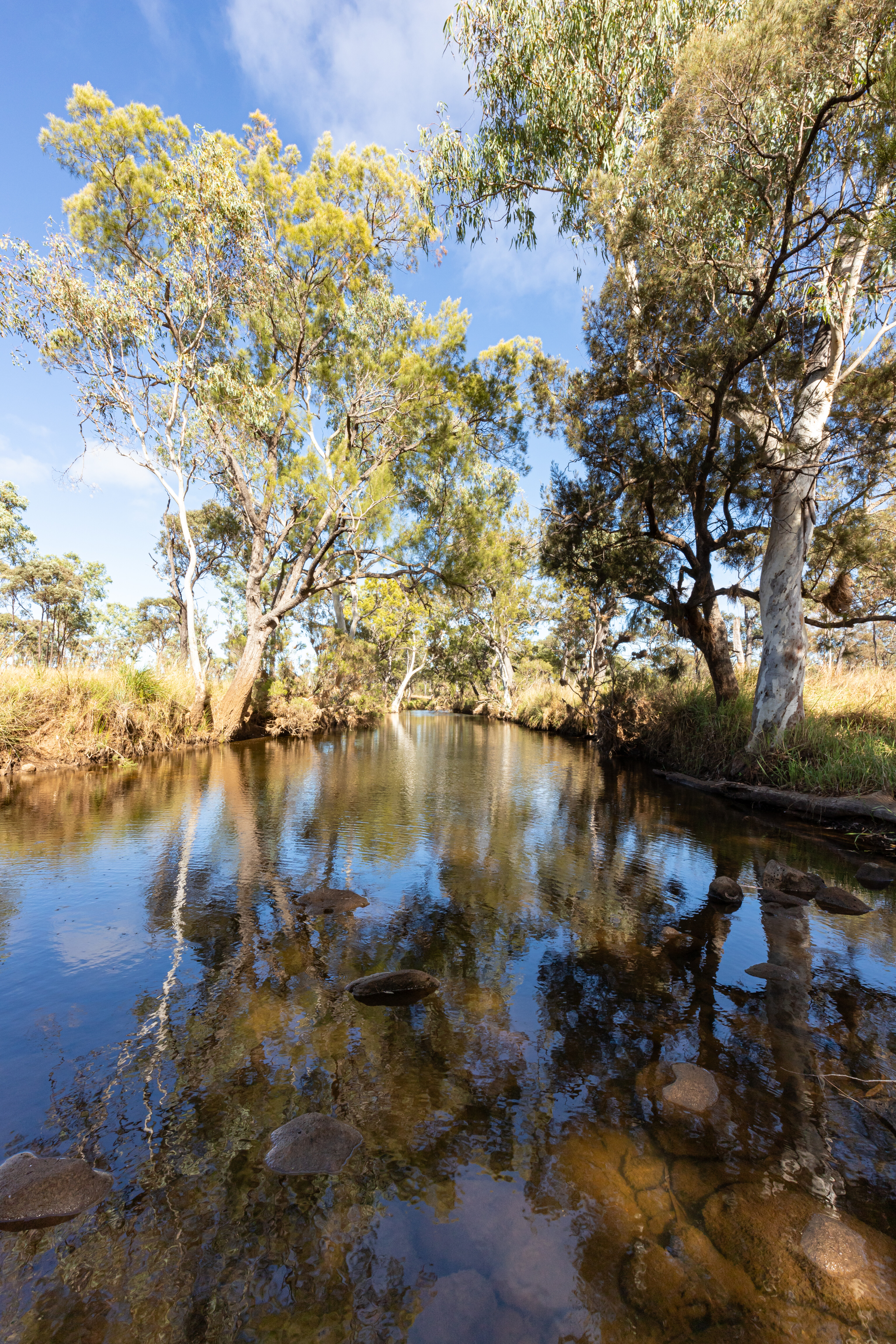
The vast Porcupine Gorge itself is only 74km north of Hughenden and it runs through dry savannah country for its 27km length.
Formed over 200 million years ago it has been eroded by the waters of Porcupine Creek, an important tributary of Queensland's longest river, the Flinders. The creek is an important life-giver, providing a permanent water source for wildlife.
The Porcupine Gorge lookout offers impressive views of the sandstone and basalt cliffs both upstream and downstream, as well as the creek 120m below. You can easily see the different layers of sedimentary rocks in the gorge walls, where geologists say two separate river systems deposited the dull-brown Blantyre Sandstone about 170 million years ago, and the red-brown Gilbert River Formation about 145 to 120 million years ago.
35
The white Wallumbilla Formation was deposited from a shallow sea about 115 to 110 million years ago upon which the current lookout sits.
The Pyramid camping area is situated 11km north of the lookout via the Gregory Development Road. There are several dispersed campsites to choose from and the camping area is also the starting point for the 2.4km return Pyramid walking track.
The track is steep with unstable surfaces and a moderate level of fitness is recommended to complete the walk. I’ll use the excuse that it was too late in the day for me to tackle the 1.5 hour walk, but a lack of fitness is probably the real reason.
35
The campground was busy while we were there, with lots of chatter and laughter filling the air, matched by the whistling kite and squawking galahs.
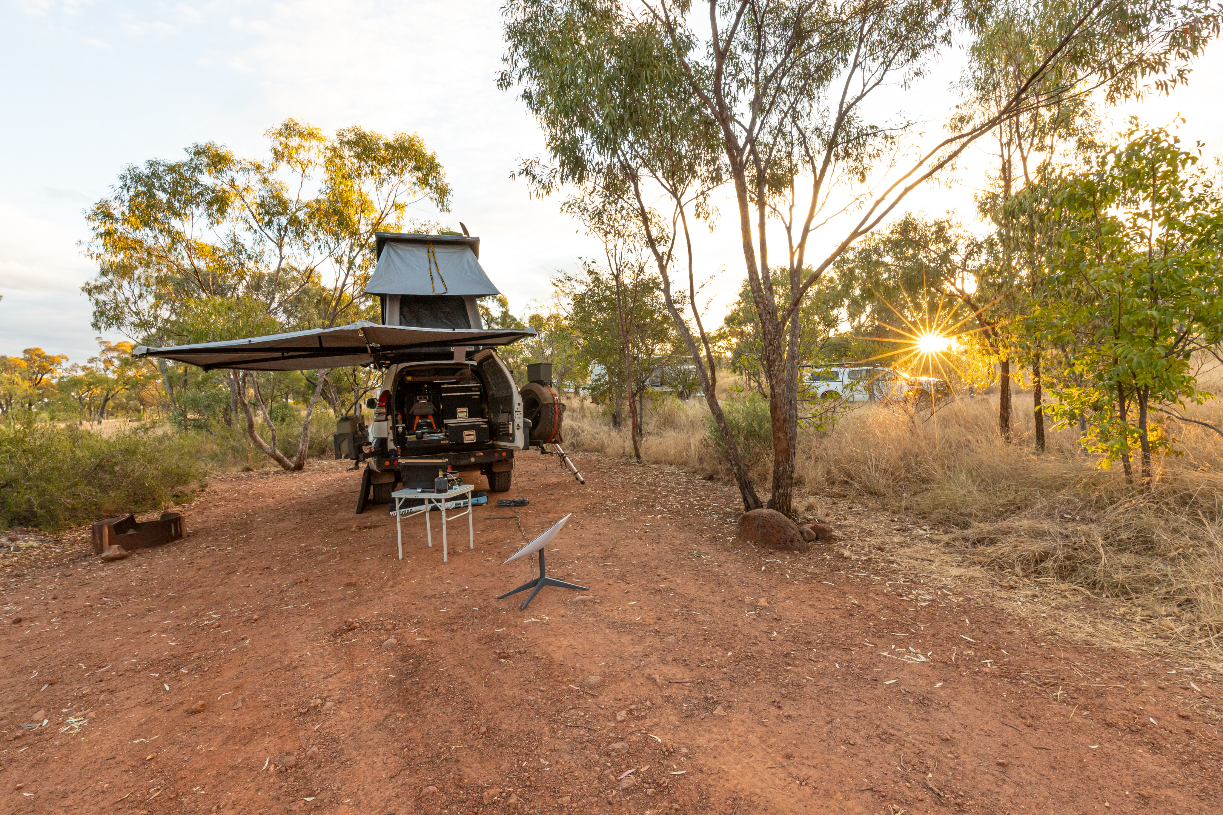
The smell of smoke wafted through my camp throughout the night, and that is one of the disadvantages of my setup; I can’t carry wood, and I do love cooking on a campfire.
I had a rufous bettong visit me while I was cleaning up after dinner; these curious and cheeky marsupials are nocturnal creatures that rest during the day in small caves or amongst grass tussocks.
35
Off to Blackbraes
The next morning, the drive to reach Blackbraes NPk was a quick one.
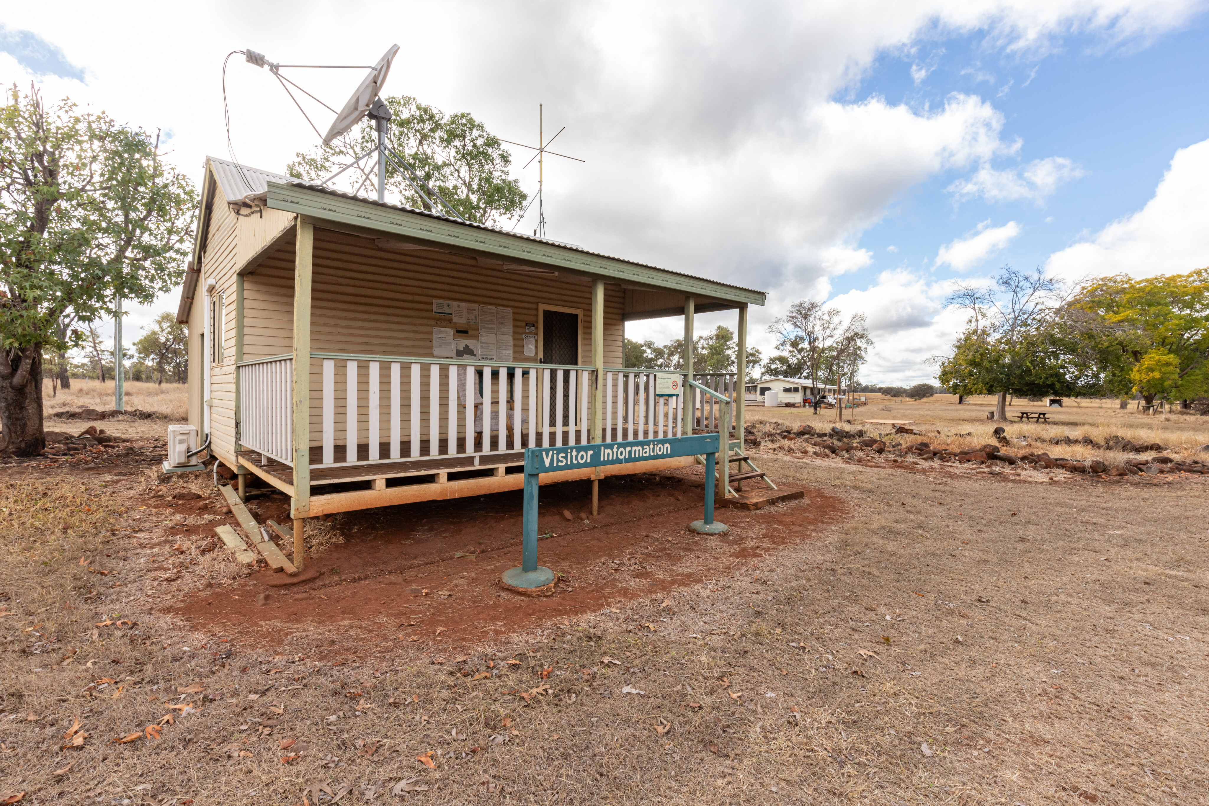
The previous day the ‘QLD Traffic’ website, and a sign placed in the middle of the road, suggested the northern section of the Kennedy Development Road was closed, but when I phoned the Flinders Discovery Centre in Hughenden, I was assured the road was now open, albeit to take care due to roadworks.
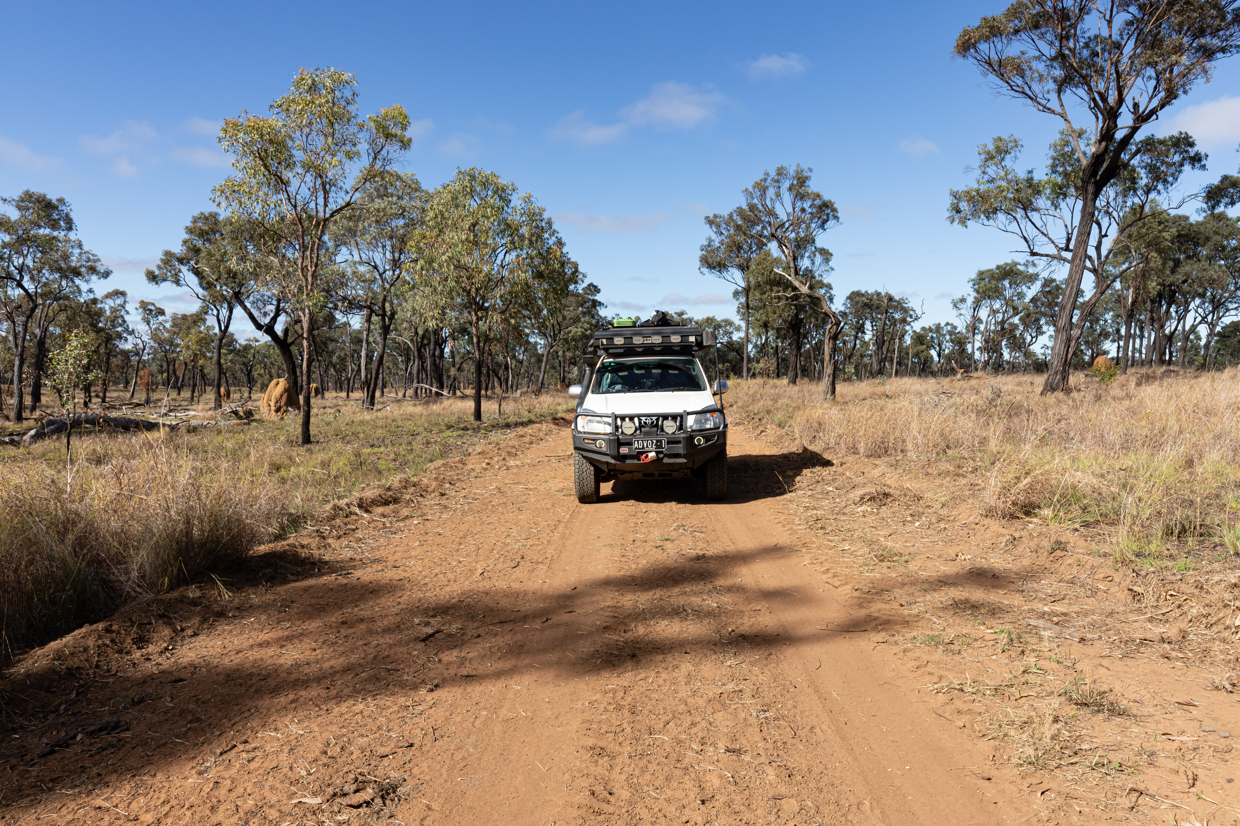
The section of roadworks in question was a detour along the side of the road construction with a speed limit of 60km. That wasn’t a problem for me, nor for any of the caravanners who were travelling this section of the Kennedy Development Road up to Undara Lava Caves.

35
Rather than join them, I turned left at the park sign and crossed the cattle grid before entering Blackbraes.
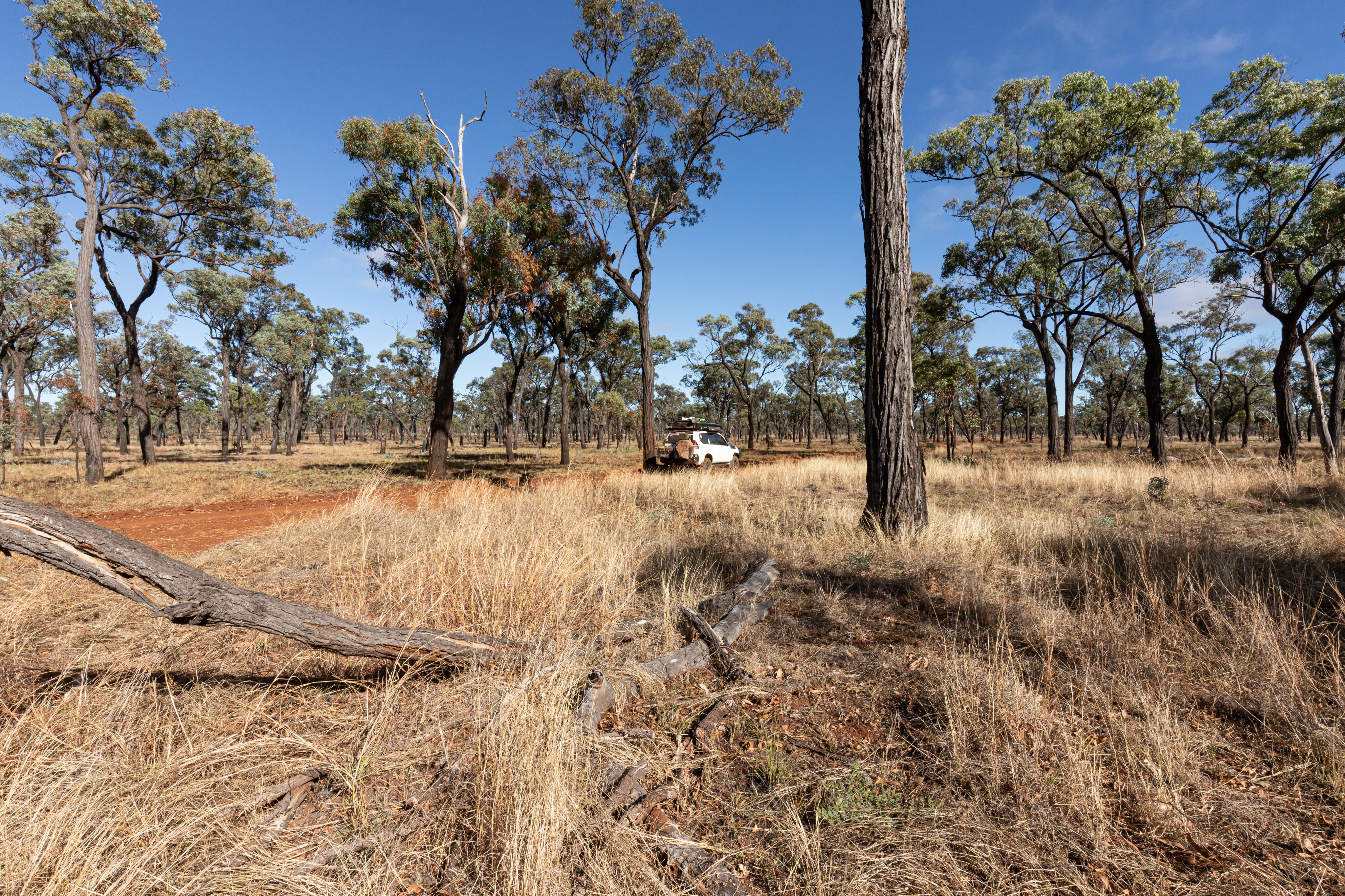
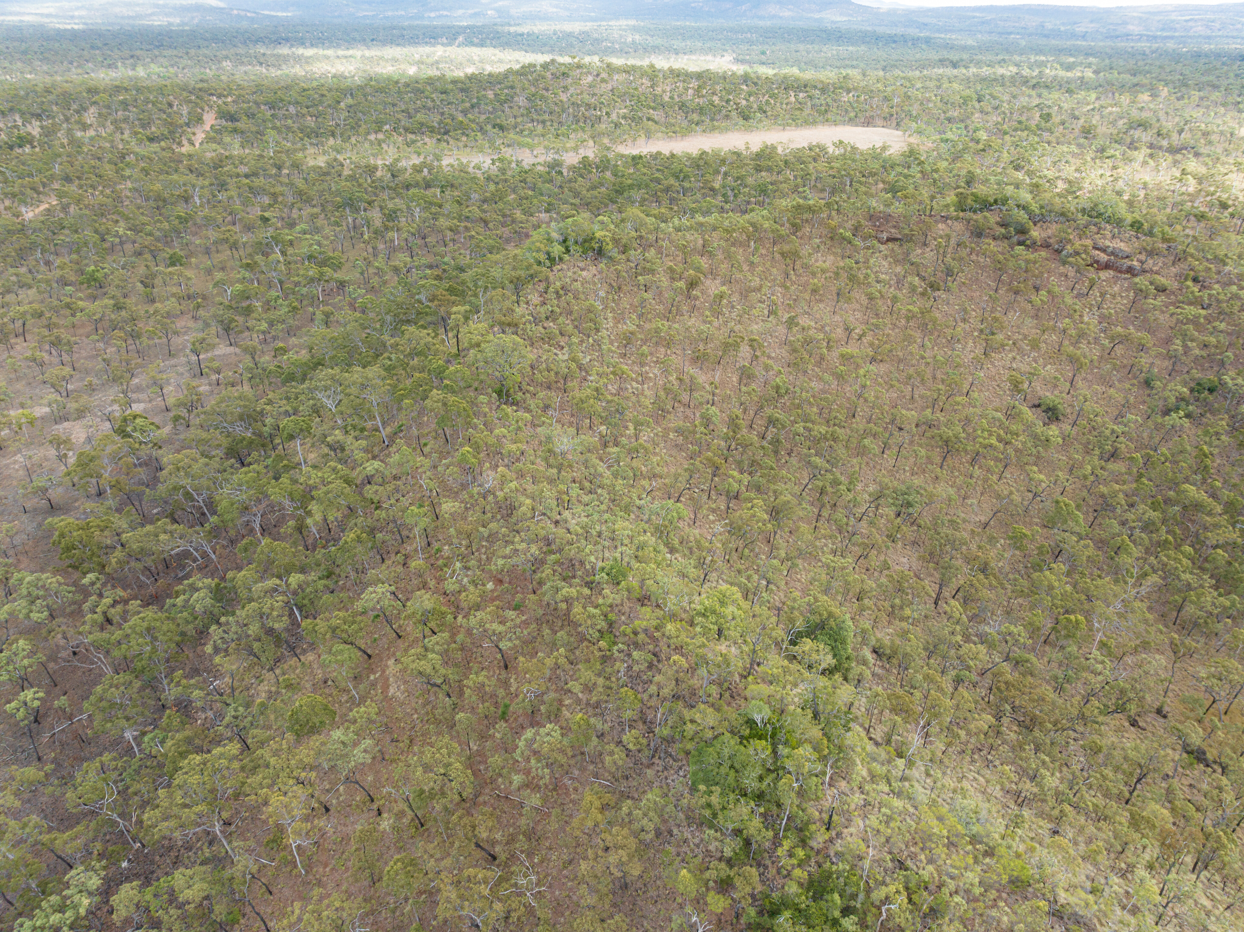
This national park was gazetted in 1998 and it overlaps two bioregions, the Einasleigh Uplands and Gulf Plains, and features undulating hills and ranges that surround basalt outcrops, black soil plains and seasonal swamps. Situated at an elevation of more than 850m, the park enjoys a wetter and cooler climate than the surrounding country.
The first point of interest is a short 1km drive up a track to the Blackbraes Lookout that offers views across the basalt plains that are covered tall Mitchell grass and ironbark woodlands.
35
The lookout faces to the east and it would be a great place to watch the sunrise.
From here it is 4km further on to the rangers station on Dulthara Road, where I had a quick chat with one of the resident rangers.
Having only been on site for a couple of weeks, he couldn’t offer me much of an insight into the park, but it concerned me that he said that he’d like to close a couple of sections within the park down, without offering any reason.
35
Camping serenity
Emu Swamp Campground is a 17.5km drive from the ranger station. The speed limit in the park is 40km/h and there are plenty of speed humps to help regulate your speed.
There is so much to enjoy as you drive through the woodlands and past the basalt rocks and large termite mounds that 40km/h might be too fast; it is a beautiful drive.
Rogue cattle roam the park as evidenced by the hoofprints and patties they leave on the track. With plenty of feed about it’s unsurprising that they’d want to be here. Piles of black volcanic rocks appear along various sections of the drive to the campground, and I’m not sure how these came to be.
35
When I reached the Copperfield River there was still water in it, and the exit of the crossing was washed out, so slow going was the order of the day.
There are certainly some tall termite mounds out amongst the ironbark woodlands. It would be nice to get out and check them out more closely but the thought of being bitten by a snake while being so remote and on my own had me deciding it wasn’t worth the risk.
One of the recommendations for entering the park is that you carry a satphone or personal locator beacon because it is extremely remote and there’s no guarantee that a Ranger will be on hand; it’s always better to be safe than sorry, that’s for sure.
35
Plenty to see
There is plenty of evidence of pastoralism throughout Blackbraes, with old fence lines and water tanks to be seen throughout the park.
At 52,000ha this would have been a small cattle station before becoming a national park. Keep an eye out for western grey kangaroos and spectacled hare-wallabies as you pass by the grasslands and rocky outcrops.
At the Emu Swamp Bore, the track takes a hard right and heads directly to the campground that is located 1.4km from the turnoff. This bush campground is nothing more than a section of an old paddock that has been slashed so you can make camp for day or two. There are no facilities at all, so take out what you bring and tread lightly.
35
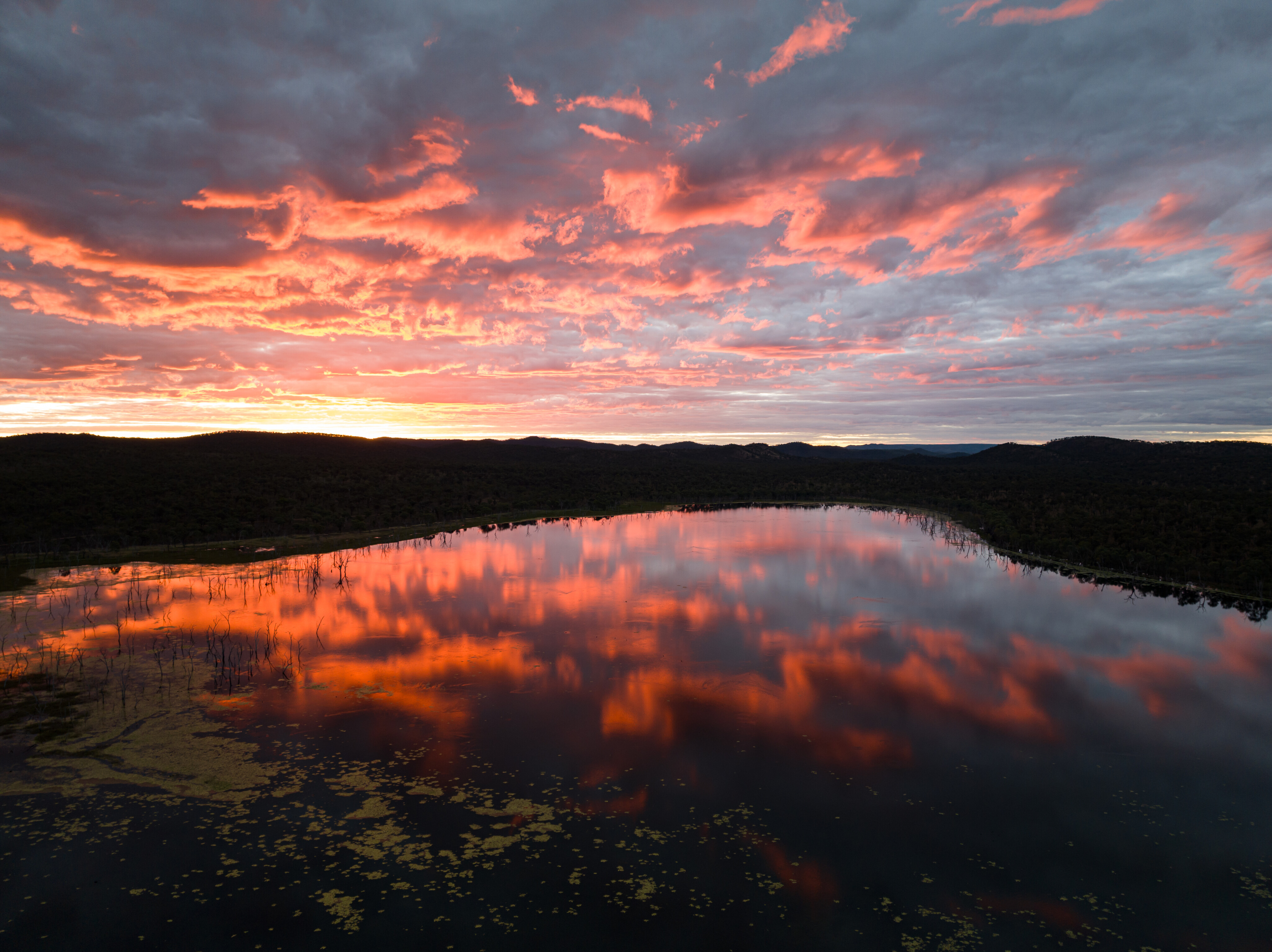
A short walk from the camping area is Emu Swamp, which looks like a creek has been dammed to create this large body of water.
There is a track that circumnavigates the lake but driving it is not permitted. If you have a mountain bike though, that is a different story. Expect to see swans, a variety of ducks, egrets, herons and other water birds seeking refuge in the reeds and searching for food below the water.
Sending the drone up at sunset produced some epic images; it was just magic. Another thing I enjoyed about camping at Emu Swamp was the serenity – besides the bird calls, it was very peaceful, and I had one of the best night's sleep I’d enjoyed in ages.
35
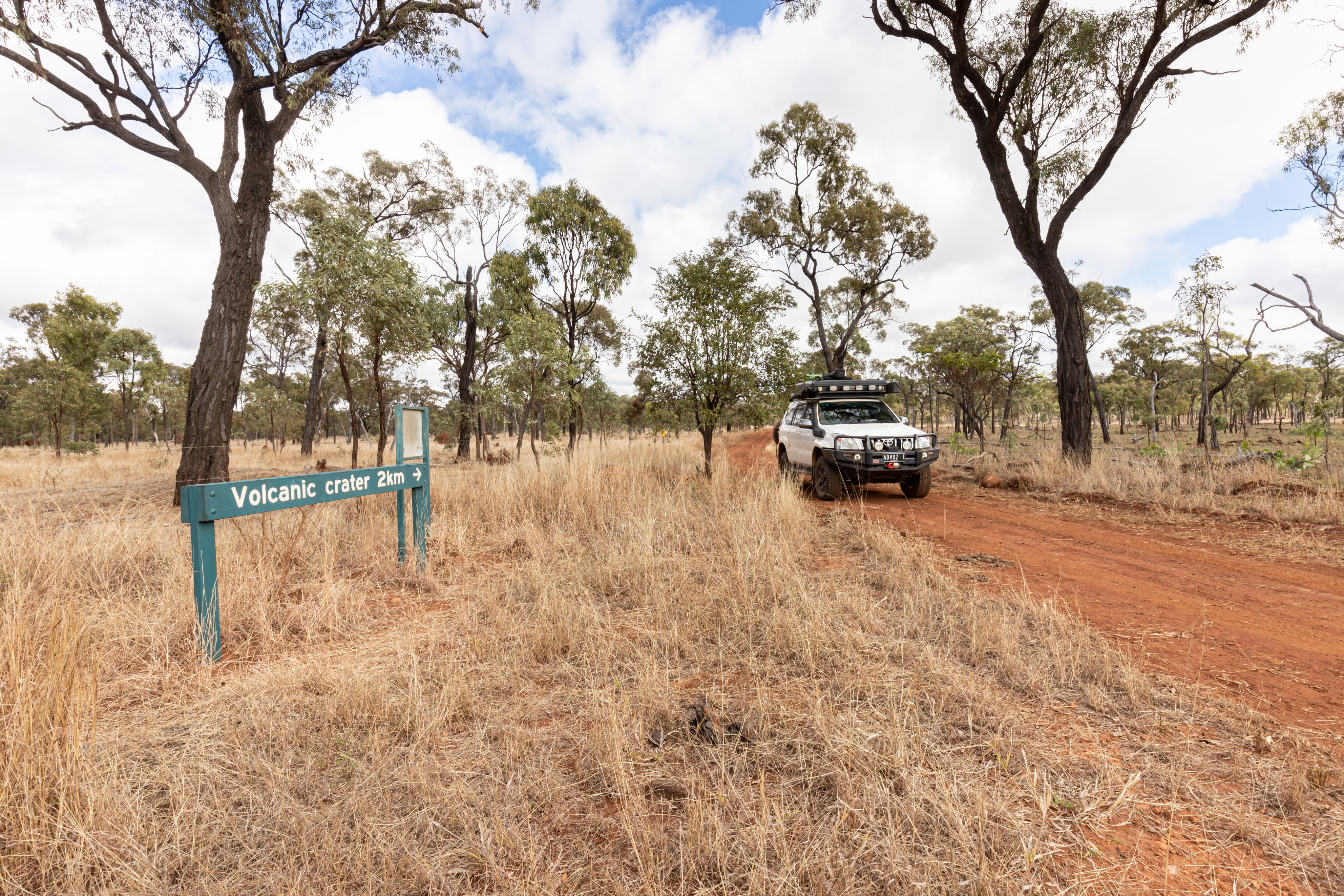
Looking on my Hema HX2, I noticed a track that I thought might lead to a volcanic crater.
After packing up camp, I headed back out on the Emu Swamp track to the junction with Dulthara Road, spotting a big black bullock on the way. Turning right, I followed this road to the western border of the park, and along the fenceline was a signed track that led to another less-travelled track to the right.
Following the wheel tracks, I ended up almost at the lip of the extinct volcano. The scrub is fairly thick through here making it difficult to determine the size of the crater, so I sent up the drone enabling me to see where one edge of the crater had collapsed during an eruption, thus explaining how the piles of rhyolite came to be scattered around the park.
35
Moonstone fossicking
Retracing my route, I ended up back at the rangers station before reaching the Kennedy Development Road.
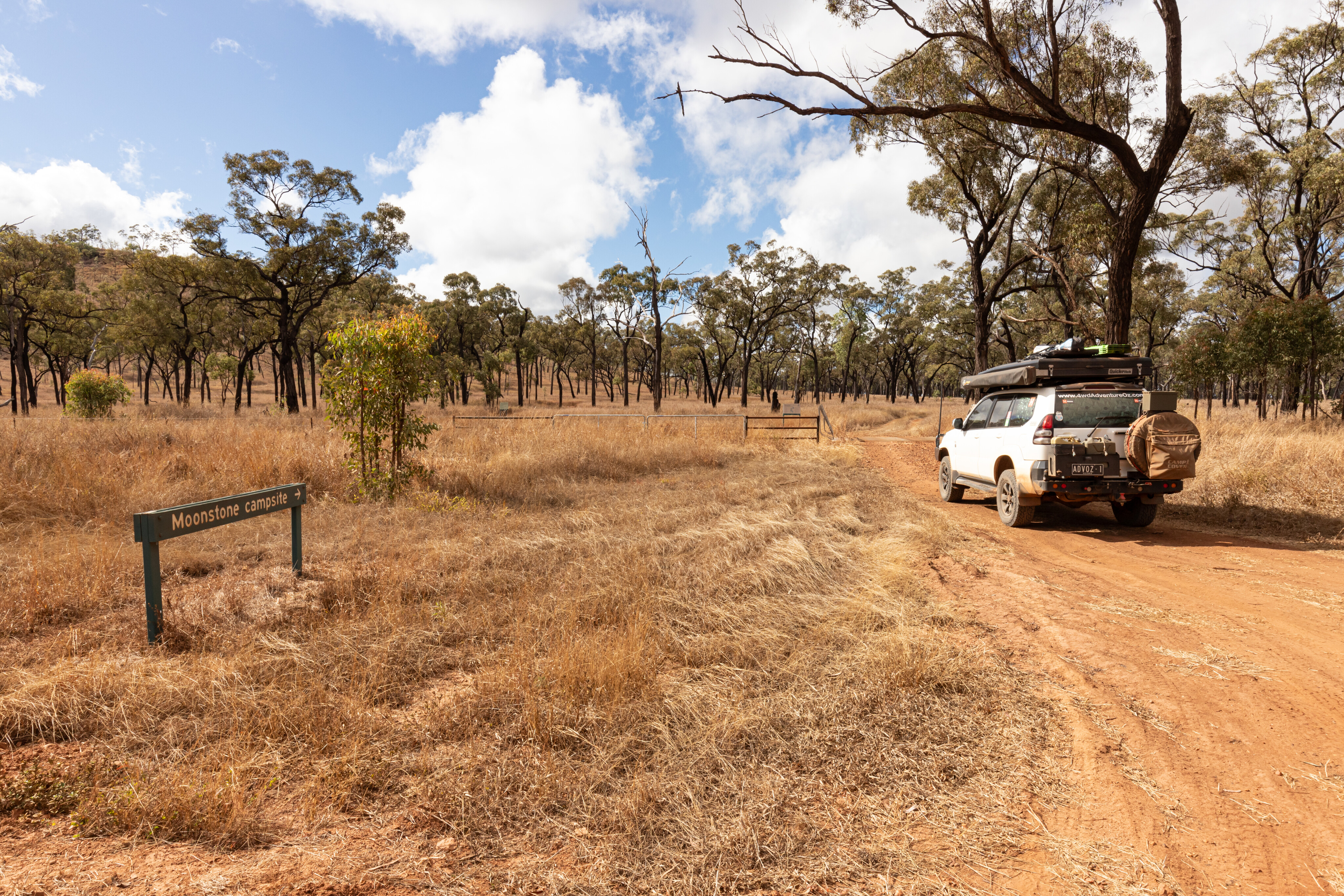
Heading north, access to the Moonstone Hill Resources Reserve and camping area is well signposted. Still part of Blackbraes, this reserve is an old volcanic vent that is popular for fossicking gem-quality feldspar, known as moonstone.
Moonstone radiates a silvery-white to blue colour when viewed in the correct light. If you want to look for some, Moonstone Hill is a general-permission fossicking area and a licence is required to fossick in the reserve.
35
There is a large campsite close to the reserve entrance and a couple of smaller ones on the side of the hill.
For a small national park, I was pleasantly surprised by how enjoyable it was to visit, and how much there was to see and do at Blackbraes. And being the sole traveller in the park, the camping experience was exceptional.
Sure, the slashed grass at the camping area could have been a bit shorter, and a pit toilet less challenging, but the basic camping facilities only added to the experience.
35
And for those heading further north to the Undara Volcanic NP, Blackbraes is also a good camping option.
If you’re heading to Porcupine Gorge or travelling anywhere near Hughenden, and you love a bit of solitude, make sure you add Blackbraes National Park to your bucket list.
Travel planner
REGION: Far North Queensland
NEAREST TOWN: Blackbraes NP is 170km north of Hughenden and 95km south of Lynd Junction with access via the Kennedy Development Road.
WHEN TO GO: The cooler months from April to September are the best times to visit, but access can be closed after rain.
CAMPING FEES: Camping fees are currently $7.25 per person per night and $29 per family per night. Camping must be pre-booked and paid online via the Queensland National Parks website [↗] before entering the park.
CAMPING: There are two camping areas within the park:
- Emu Swamp: 4WD access only, suitable for tents and camper trailers
- Moonstone Hill: 4WD access, suitable for tents, camper trailers and caravans
WHAT TO TAKE: Fuel or gas stove for cooking, first aid kit, firewood, food and water, PLB or satellite phone, sun protection and insect repellent, rubbish bags, shovel to bury toilet waste.
DIFFICULTY: The roads within the park are well maintained but a 4WD vehicle is recommended to enjoy the best bits.
ROADS: Check out the ‘QLD Queensland’ website [↗] for road conditions and closures.
Five must-dos
- Explore Porcupine Gorge
- Camp at Emu Swamp
- Check out the volcanic crater
- Watch the sun set over Emu Swamp
- Check out the views from the lookout
Please enable JavaScript to view the comments powered by Disqus.
COMMENTS